

Most people who live in New York City today walk on land that once grew crops. Long before skyscrapers and traffic, much of the island was open fields, rolling hills, and scattered farmhouses.
In the 1600s, the area now known as Manhattan was largely rural. Dutch settlers, and later the English, divided the land into large farms. These farms stretched across what are now busy neighborhoods. Cows grazed where office towers stand today.
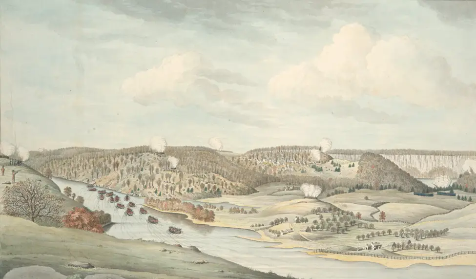
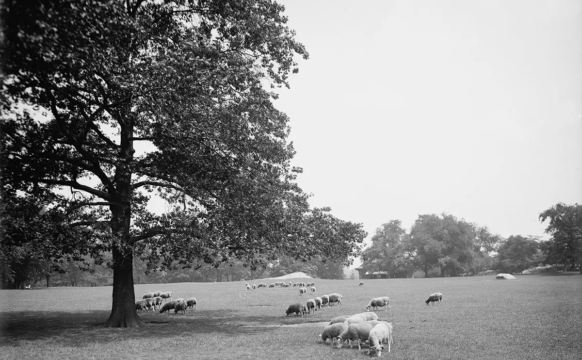
By the 17th century, farms covered areas from present-day Midtown to the Upper West Side. Dirt paths cut through fields of wheat and corn. Streams and ponds supplied water for crops and animals. The land rose and fell in hills that shaped daily life and travel.
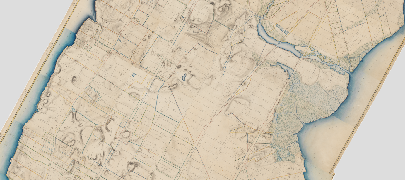
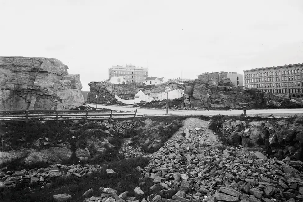
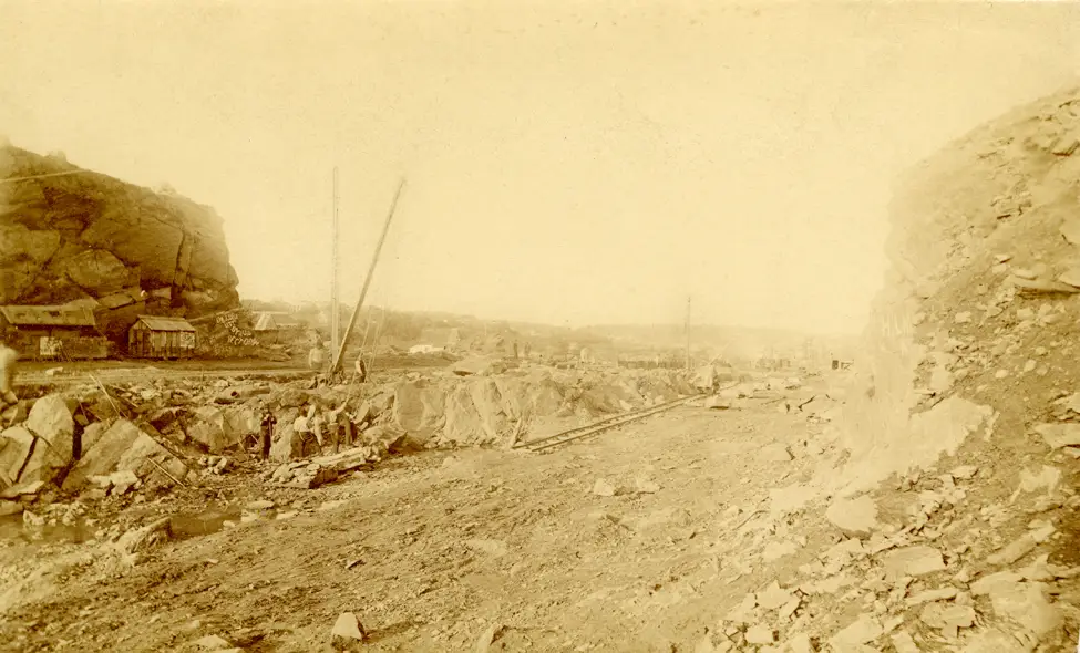
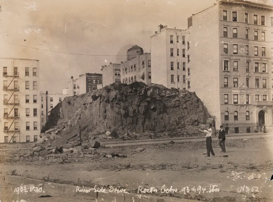
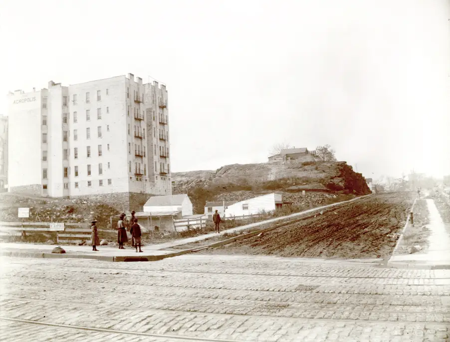
There was no street grid. That changed in 1811, when city leaders approved the Commissioners’ Plan. This plan created the straight streets and avenues that define Manhattan today. Surveyors mapped out blocks across farmland, even where hills and rocky ground stood in the way.
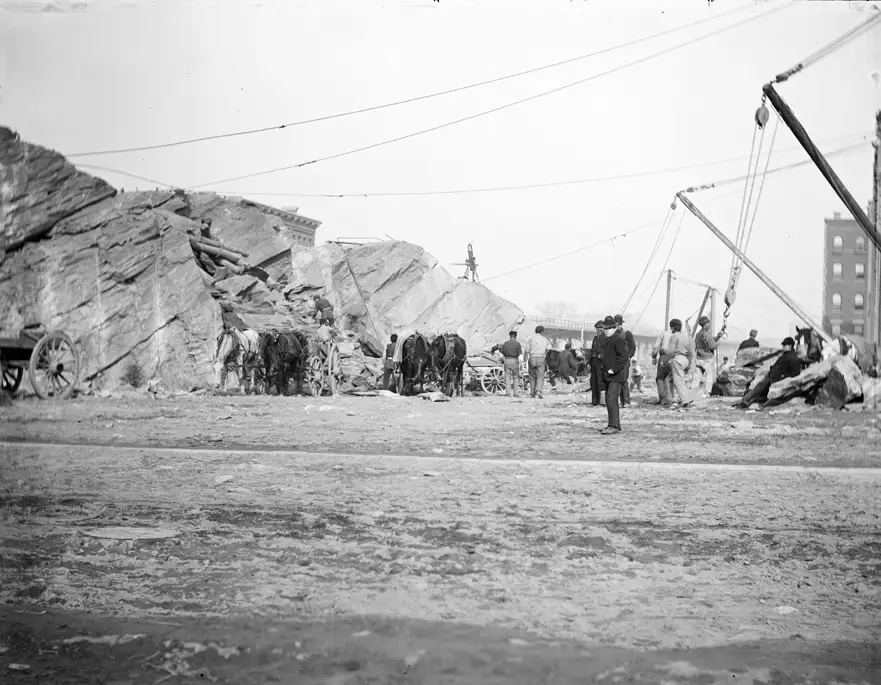
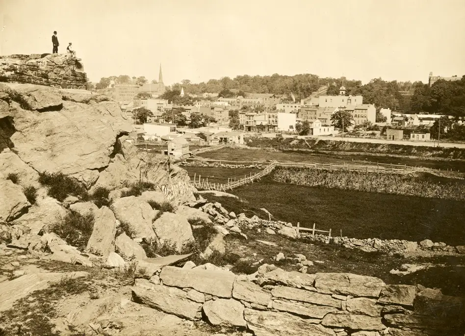
To build the grid, workers reshaped the land. They leveled hills and filled low areas. Blasting crews used gunpowder to break apart solid rock. Entire ridges disappeared so streets could run in straight lines. The natural landscape gave way to a flat, ordered design.
Read more
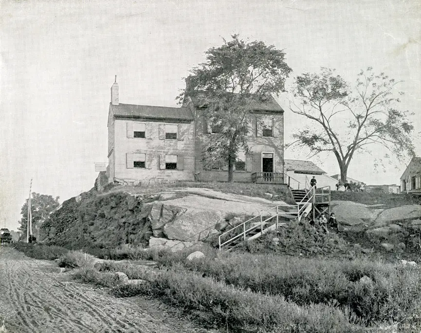
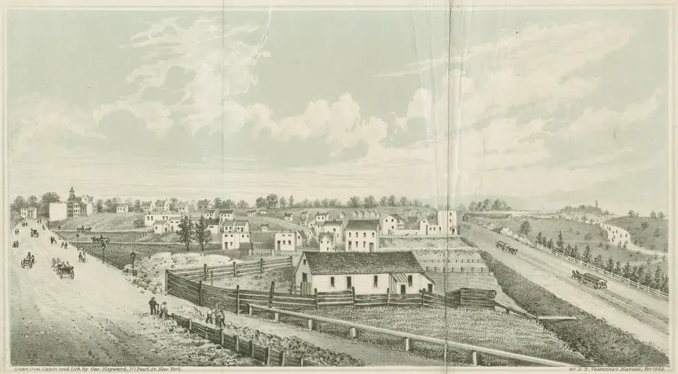
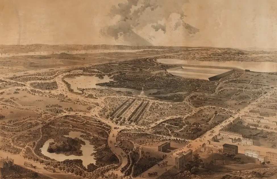
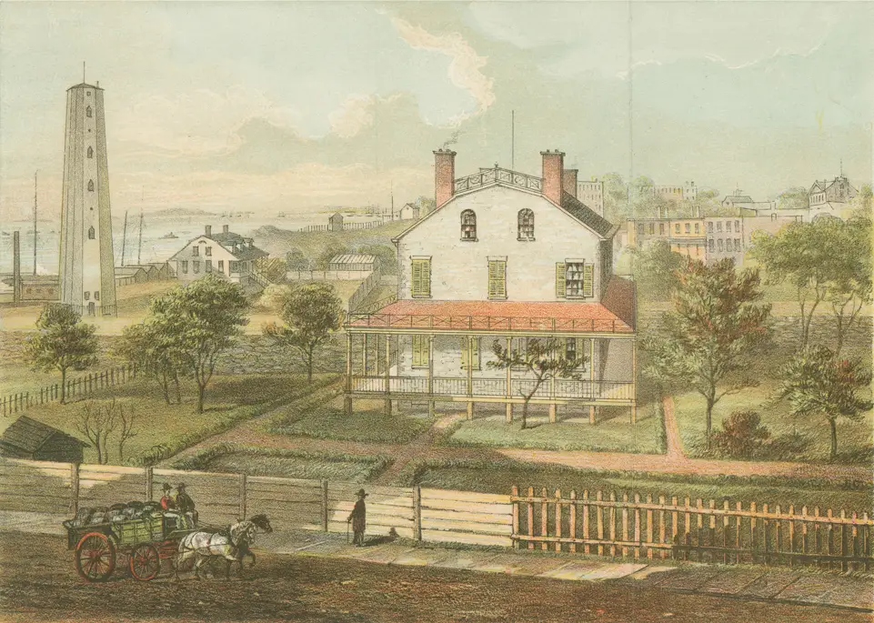
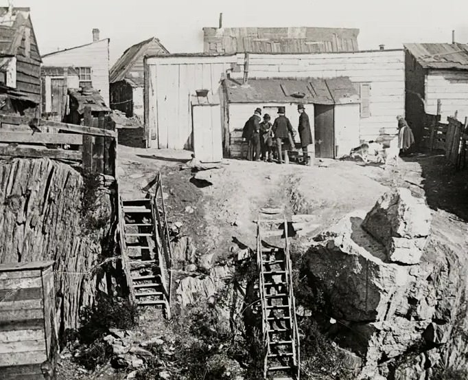
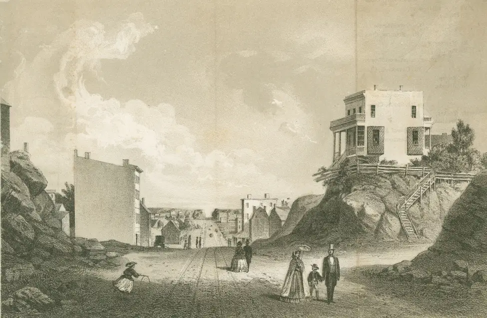
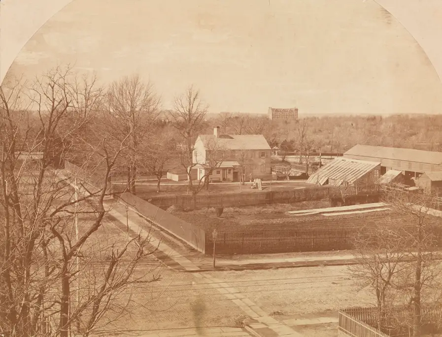
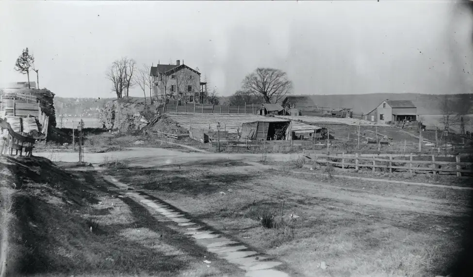
The Museum of the City of New York preserves images of this earlier landscape. Its online collection includes illustrations and photographs that show Manhattan before the grid took over. A series called “The Greatest Grid” presents scenes of open countryside where buildings now stand.
These images reveal wide views of farmland bordered by wooden fences. Farmhouses sat far apart from one another. Windmills turned in open air. Livestock moved across grassy fields under a clear skyline.
The Upper West Side, now filled with apartment buildings and subway stations, once held rolling farmland. Midtown, now one of the busiest business centers in the world, contained open plots and country roads. Travel across the island meant passing orchards and pastures rather than storefronts.
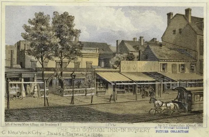
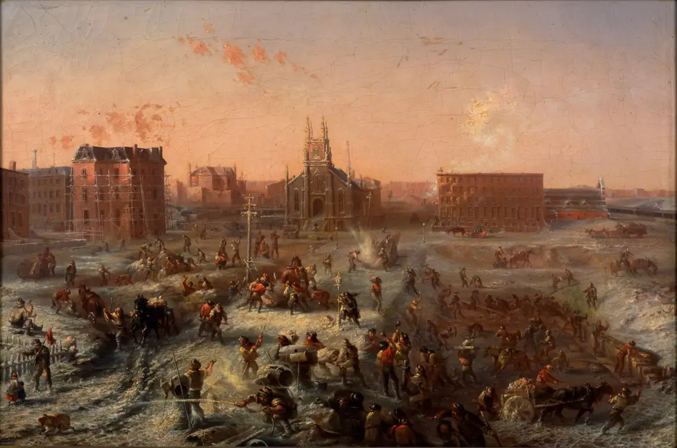
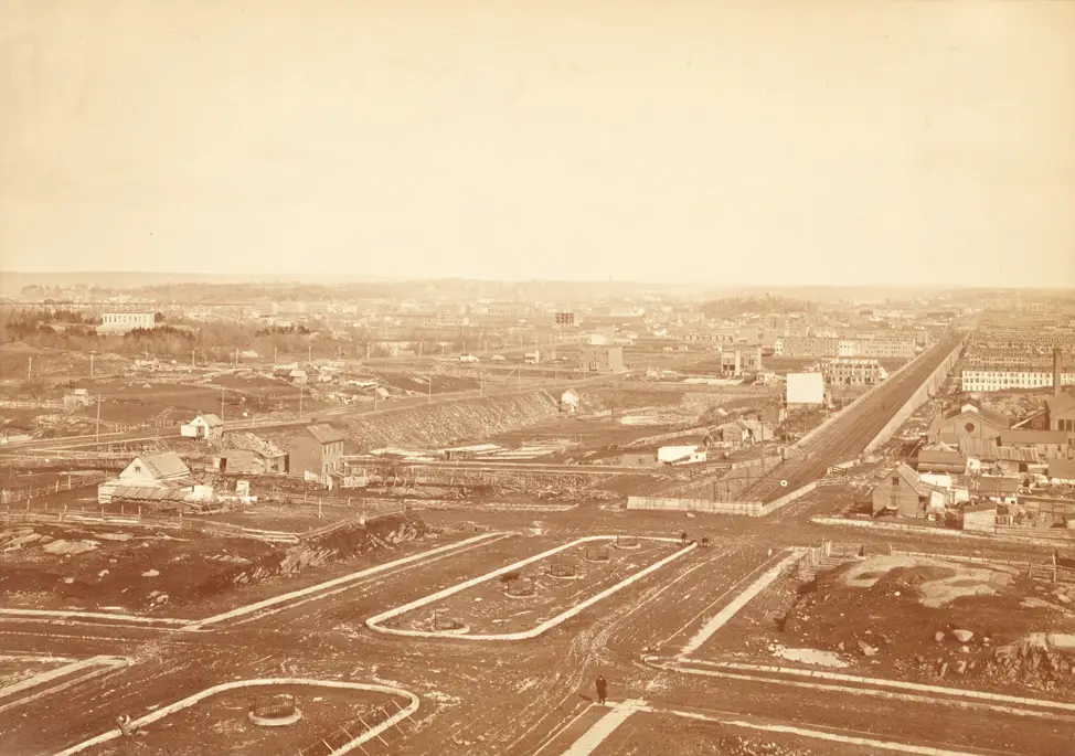
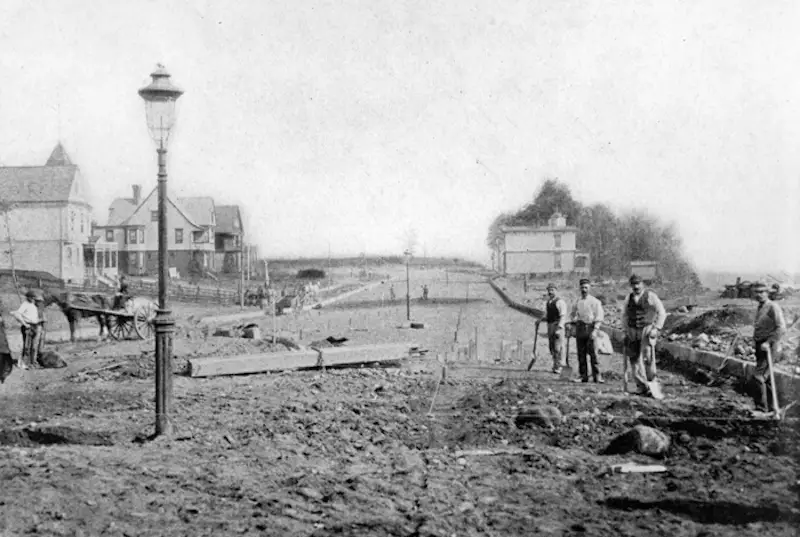
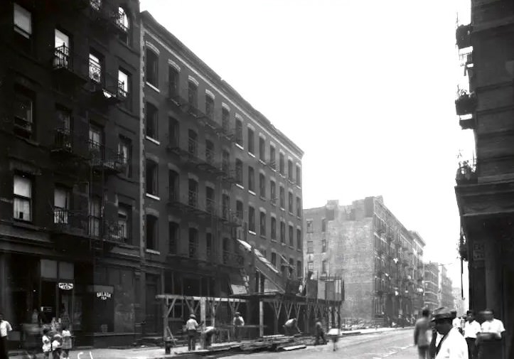
As the city’s population grew in the late 1700s and early 1800s, farmland was divided into smaller lots. Owners sold their property to developers. Streets replaced fences. Brick row houses rose where crops once grew.
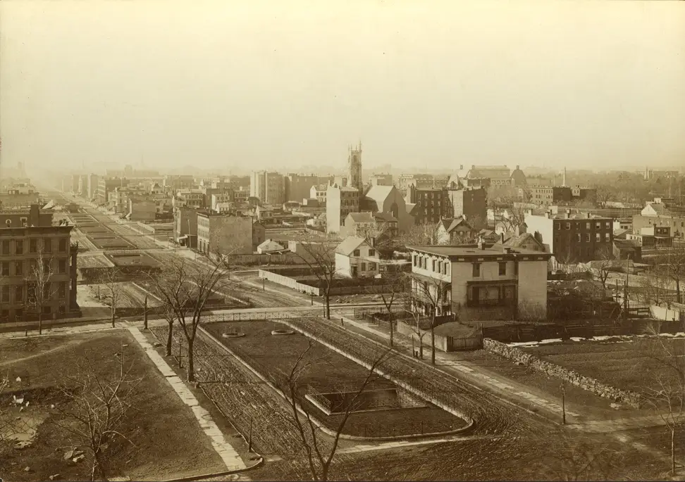
By the mid-1800s, much of Manhattan’s farmland had disappeared. Construction spread northward as the city expanded. The rural character faded block by block.
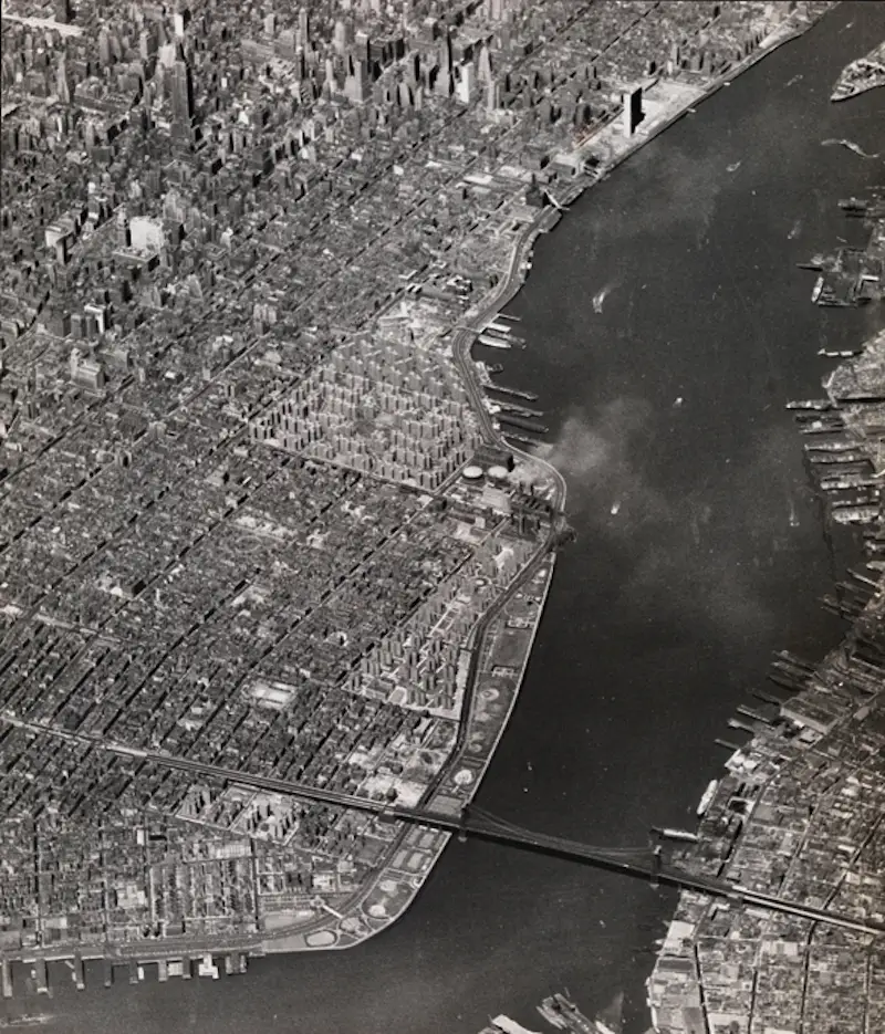
Today, the grid hides the island’s natural shape. Beneath paved roads and tall buildings lies the land that once fed the city. The straight lines of Manhattan stand on ground that was once uneven, green, and used for farming.

GIPHY App Key not set. Please check settings