

Queens developed differently from the dense streets of New York City. For much of the 1800s, Queens held farms, small villages, and open land. Dirt roads connected quiet towns instead of large commercial centers.
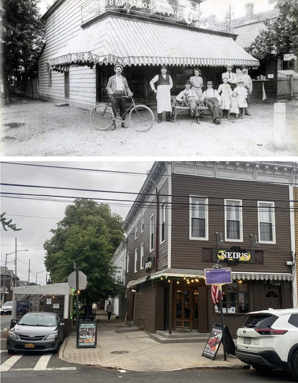
Queens joined New York City in 1898 along with the other outer boroughs. At that time, places like Astoria, Flushing, and Jamaica operated as separate local centers. Each area had its own business streets, churches, and small factories.
Early housing and village centers
Early Queens housing often consisted of detached wood-frame houses. Many featured front porches, pitched roofs, and small yards. Builders followed patterns common in suburban towns rather than crowded city blocks.
Flushing shows this early development. Its main streets held banks, shops, and civic buildings while nearby blocks held private homes. Some houses from the early 1900s remain, though many lots now hold larger buildings.
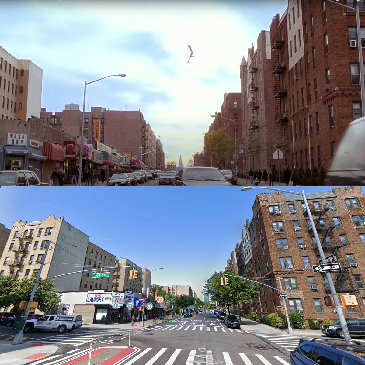
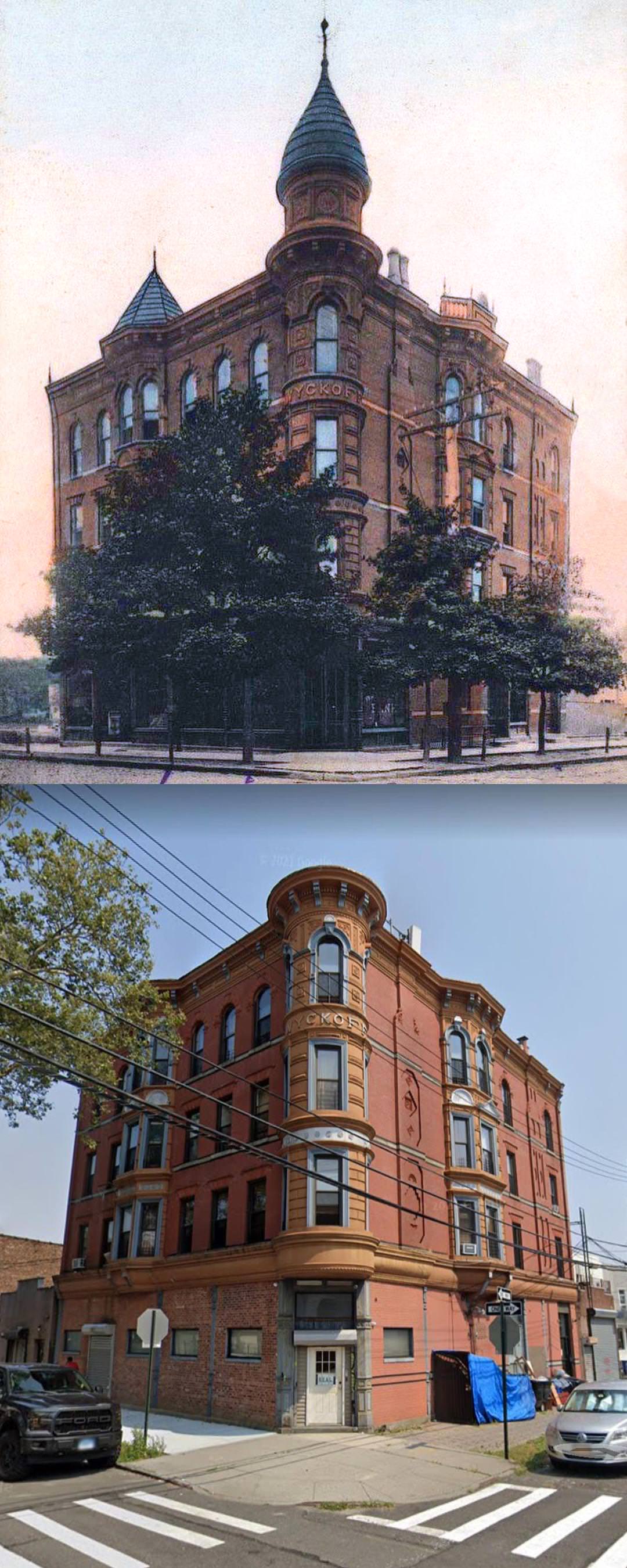
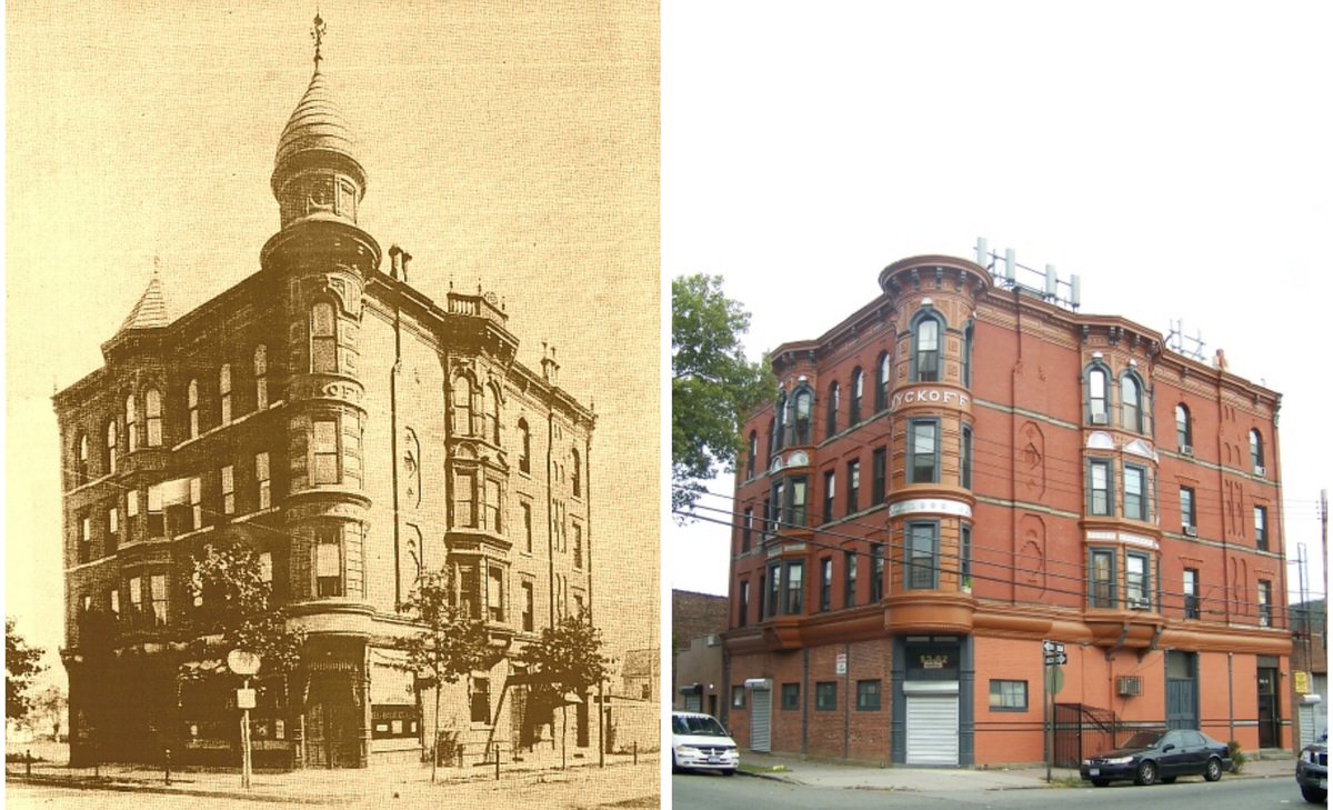
In neighborhoods like Astoria, rowhouses and small apartment buildings began appearing in the early 1900s. These buildings often rose three to six stories and used brick fronts with simple decoration.
Streetcar lines encouraged this growth. Developers built housing near transit routes to attract workers traveling into Manhattan.
Read more
Bridges and transit expansion
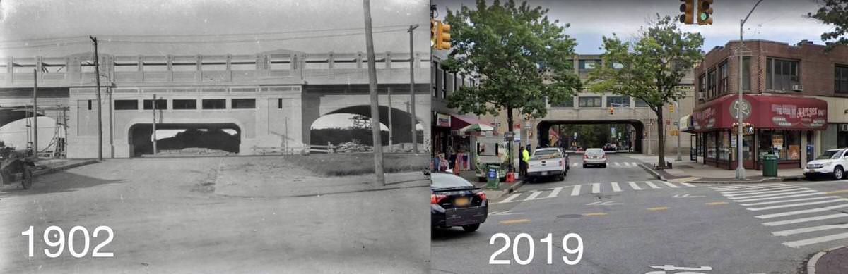
The opening of the Queensboro Bridge in 1909 changed western Queens. It provided a direct route into Manhattan and encouraged apartment construction in nearby areas.
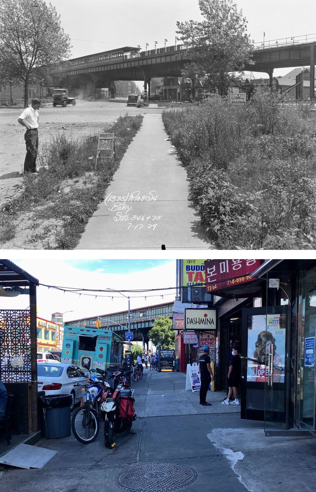
Subway expansion also shaped development. New train lines allowed faster commuting. Neighborhoods along these routes saw faster population growth and denser construction.
The growth of elevated and subway lines connected Queens neighborhoods that once felt isolated. Commercial strips developed around major stations.
Industrial zones and working waterfronts
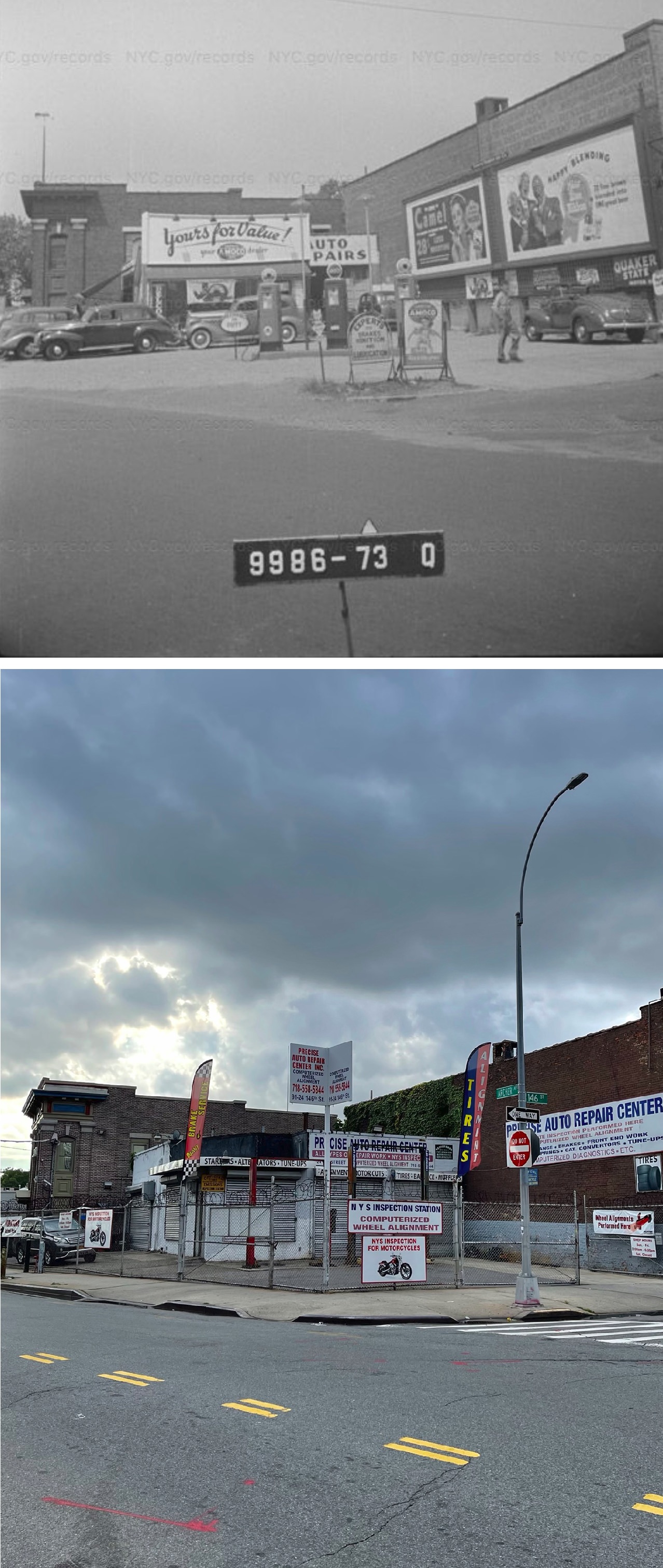
Western Queens became a center for industry during the early 20th century. Areas like Long Island City filled with factories, rail yards, and warehouses. These buildings often used heavy brick construction with large loading docks.
The waterfront held power plants, freight terminals, and manufacturing sites. Rail tracks connected these zones to national shipping networks.
Many factory buildings followed a practical design. Flat roofs, thick walls, and wide floors supported heavy equipment. Large windows provided natural light before modern lighting systems became common.
Airports and large-scale construction
Two major airports reshaped Queens in the mid-1900s. LaGuardia Airport opened in 1939. John F. Kennedy International Airport followed in 1948, originally known as Idlewild Airport.
These projects required large tracts of land. Construction crews leveled fields and marshland. New highways and service roads followed.
Hotels, cargo buildings, and airline support structures grew around these airports. Their presence made Queens a major gateway for international travel.
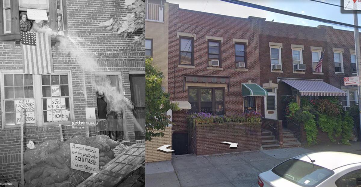
Postwar housing expansion
After World War II, Queens became a major destination for returning soldiers and growing families. Developers built large numbers of single-family homes and garden apartment complexes.
Neighborhoods such as Forest Hills and Bayside saw steady housing construction during this period. Brick apartment blocks and cooperative housing developments became common.
Many of these buildings followed modern planning ideas. Open green spaces surrounded buildings. Parking areas reflected the growing use of cars.
Shopping centers also appeared. These replaced some older main streets as retail hubs.
Civic buildings and cultural sites
Queens also developed major cultural landmarks. Flushing Meadows–Corona Park became one of the borough’s largest public spaces. It hosted the 1939 and 1964 World’s Fairs.
Structures like the Unisphere remain from the 1964 fair. These landmarks reflect mid-century design styles focused on science and global connection.
Sports venues also shaped the borough. Citi Field now stands near the site of the former Shea Stadium. Large stadium construction brought new transit upgrades and pedestrian areas.
Changes in industrial neighborhoods
Since the 1990s, many industrial areas in Long Island City have changed. Former warehouses now hold offices, art studios, and residential towers. Glass high-rises now stand near older brick factory buildings.
New construction added parks along the East River. Walkways and public seating replaced sections of former industrial shoreline.
Zoning changes allowed mixed-use buildings. These combine housing, offices, and stores in the same structure.
Religious buildings and community structures
Queens holds one of the most diverse sets of religious buildings in the city. Churches, mosques, temples, and synagogues reflect waves of immigration.
Older churches often show Gothic or Romanesque features. Newer religious buildings often use modern materials such as concrete and glass while maintaining traditional design elements.
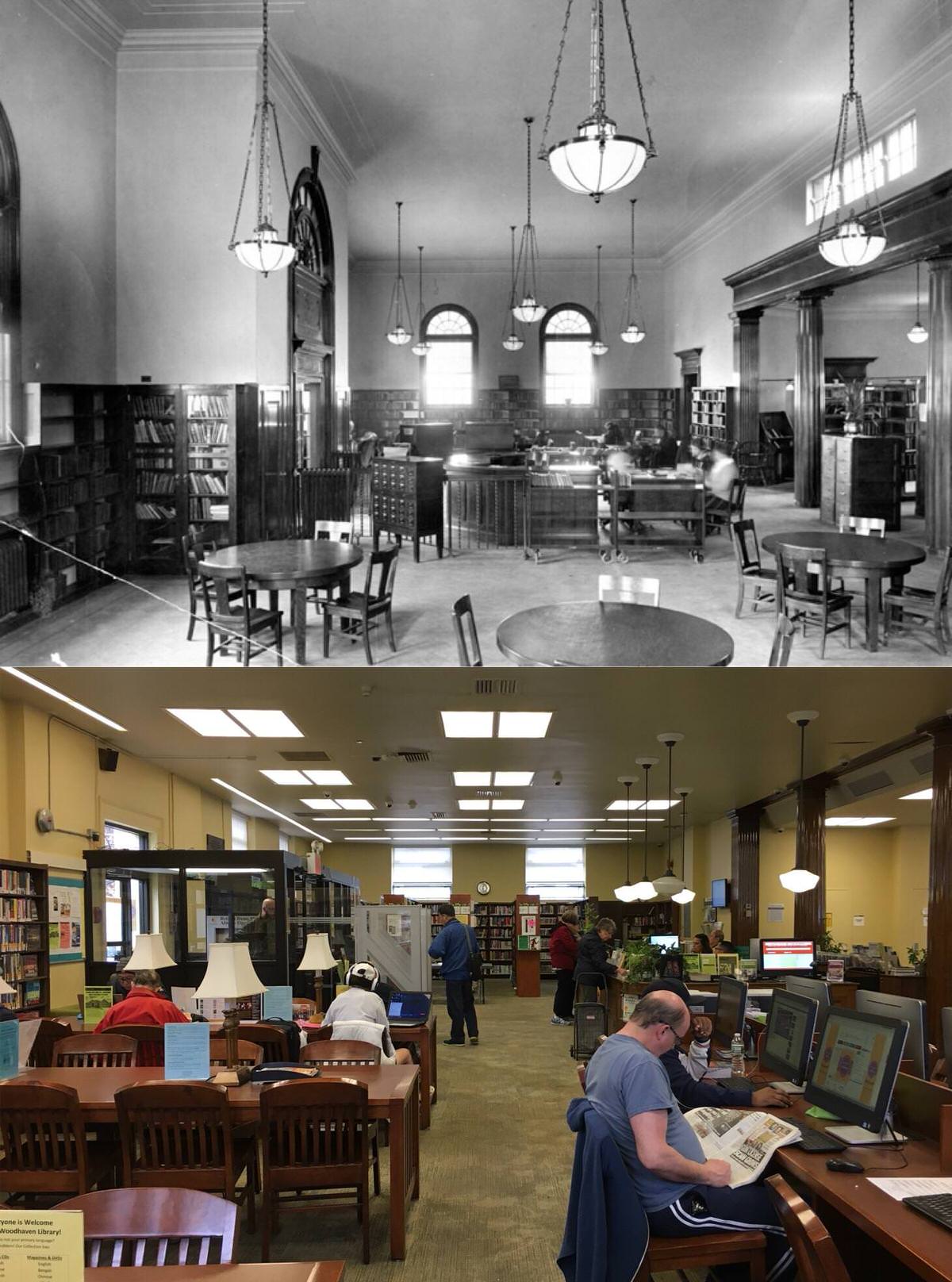
Community centers and schools also show this range. Early schools used stone and brick with detailed entrances. Newer schools often feature larger windows, improved sports facilities, and updated safety designs.
Housing diversity today
Queens housing now ranges from early wood-frame homes to modern towers. Some blocks hold single-family houses built before World War I. Nearby avenues may feature buildings constructed within the last decade.
Public housing developments managed by the New York City Housing Authority form another part of this landscape. These mid-century complexes often feature tall residential blocks surrounded by open grounds.
Private development continues to add new housing near transit hubs. Taller apartment buildings now appear along major commercial corridors.
GIPHY App Key not set. Please check settings