in

Fascinating Vintage Photos Capturing Street Scenes of the Bronx in the 1910s

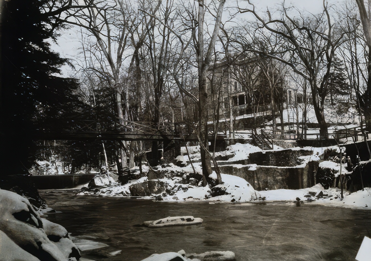
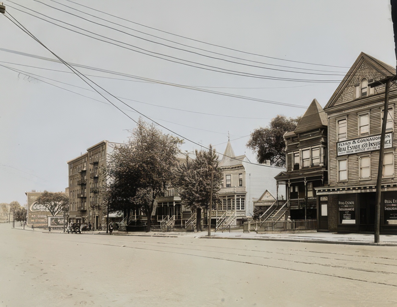
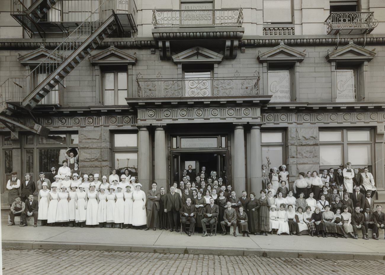
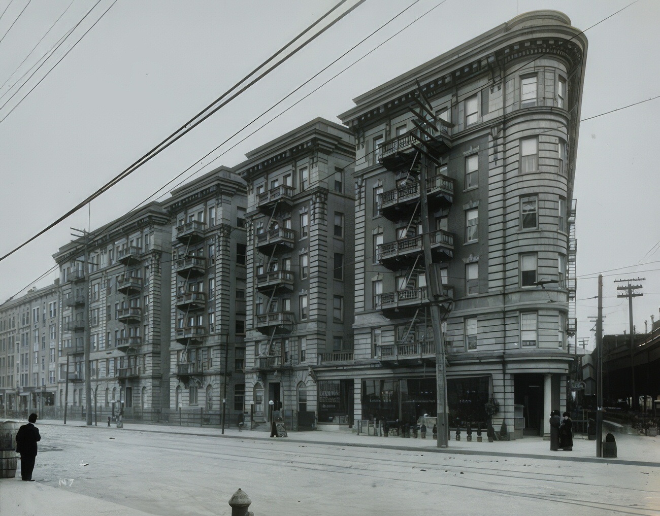
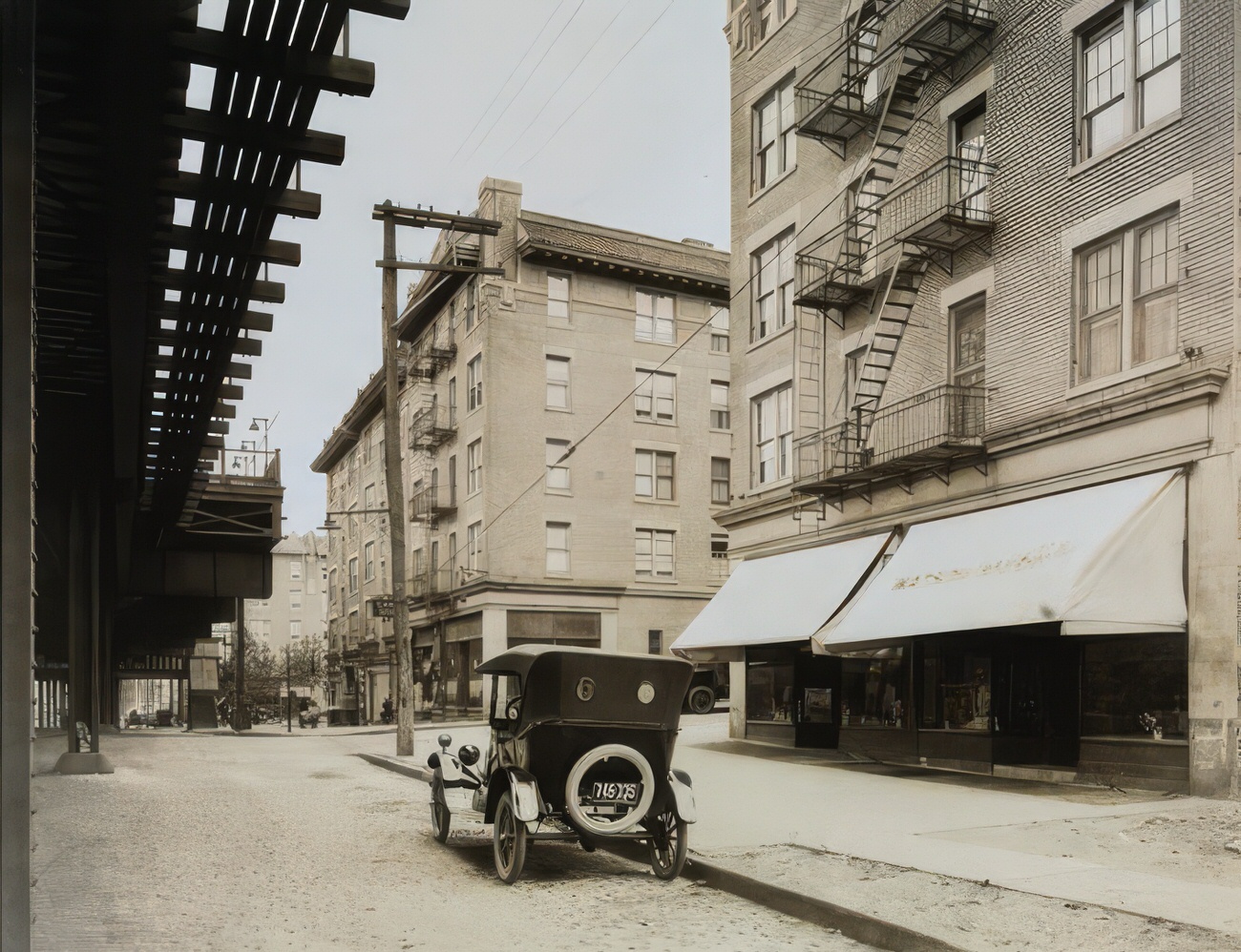
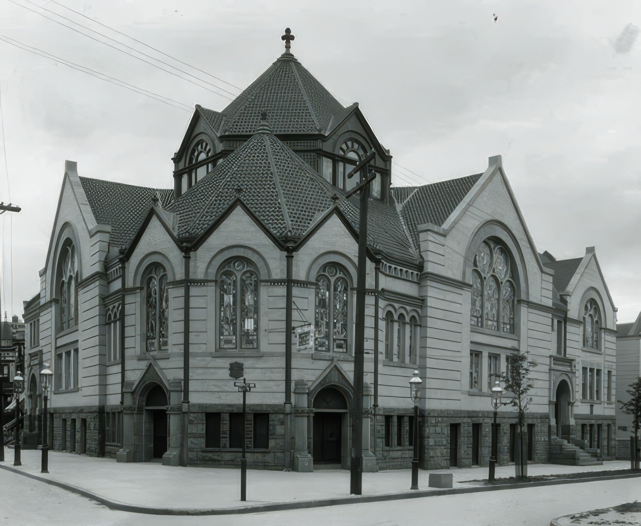
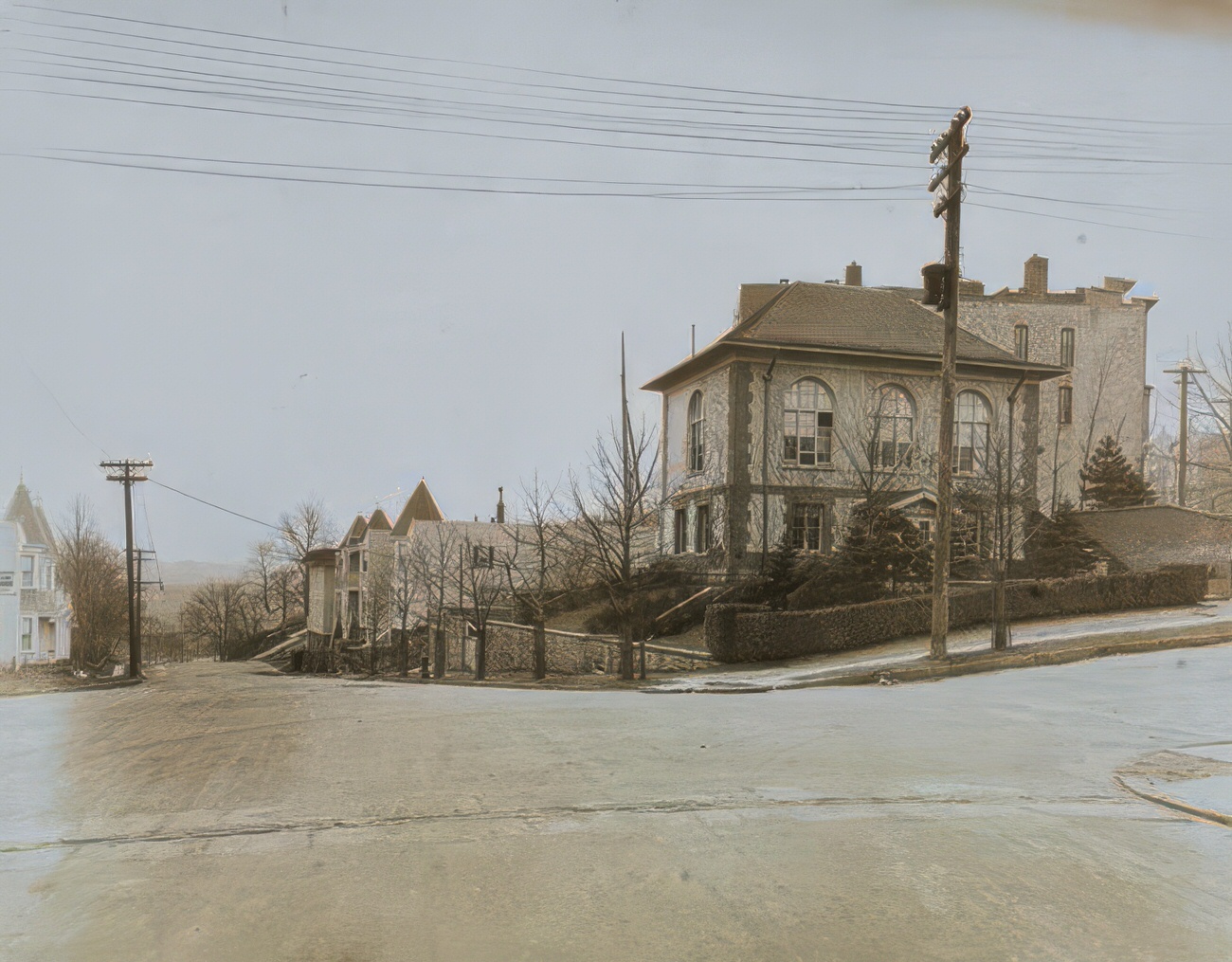
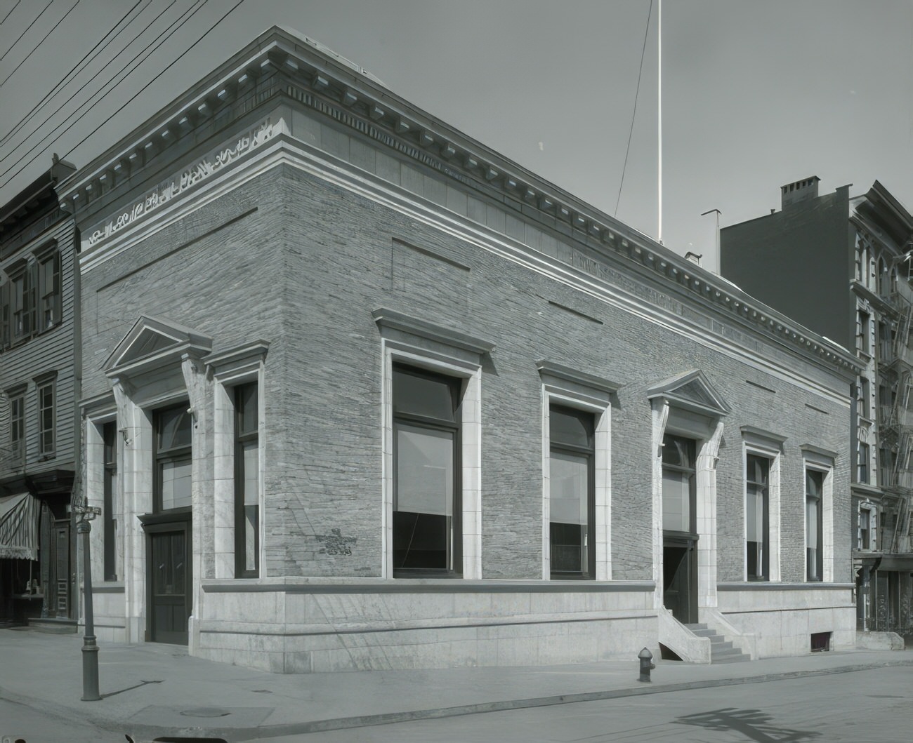
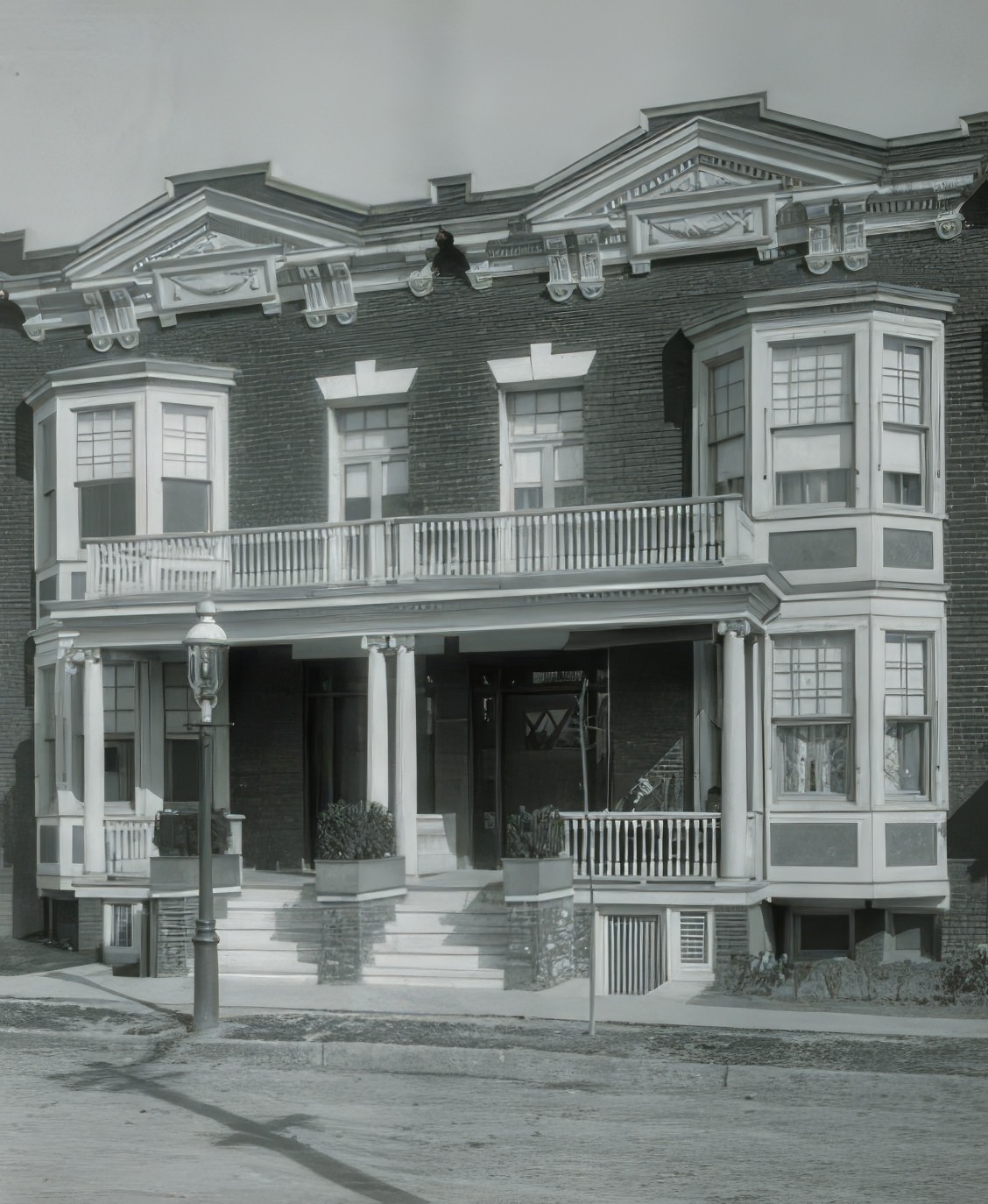
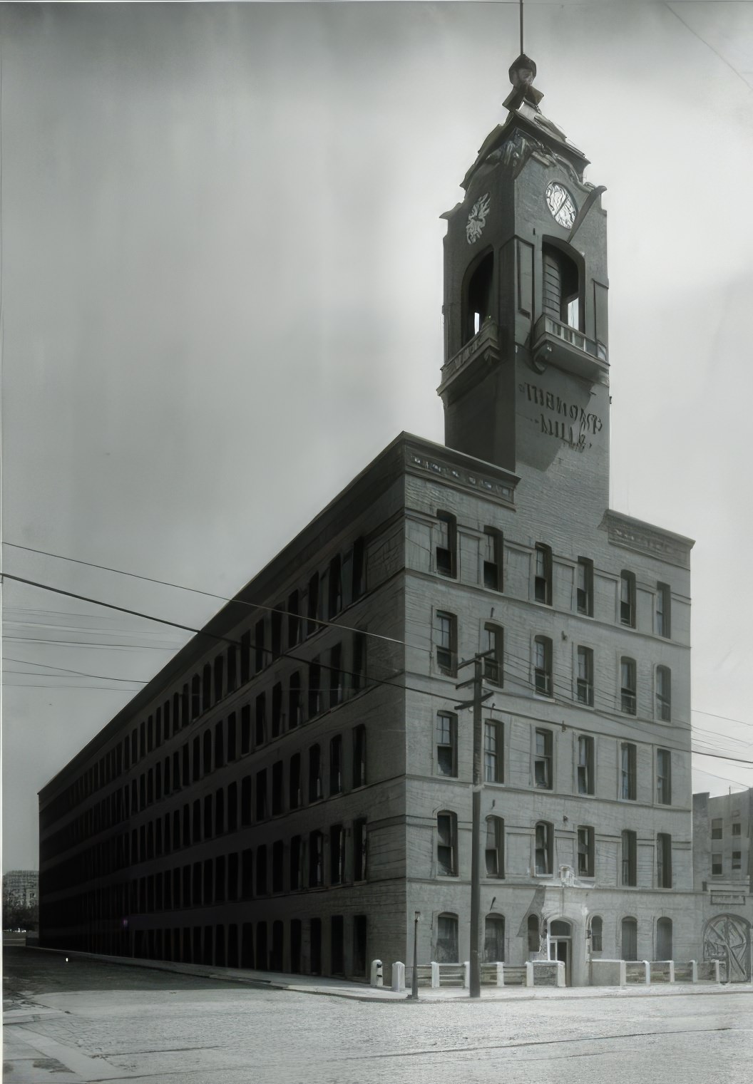
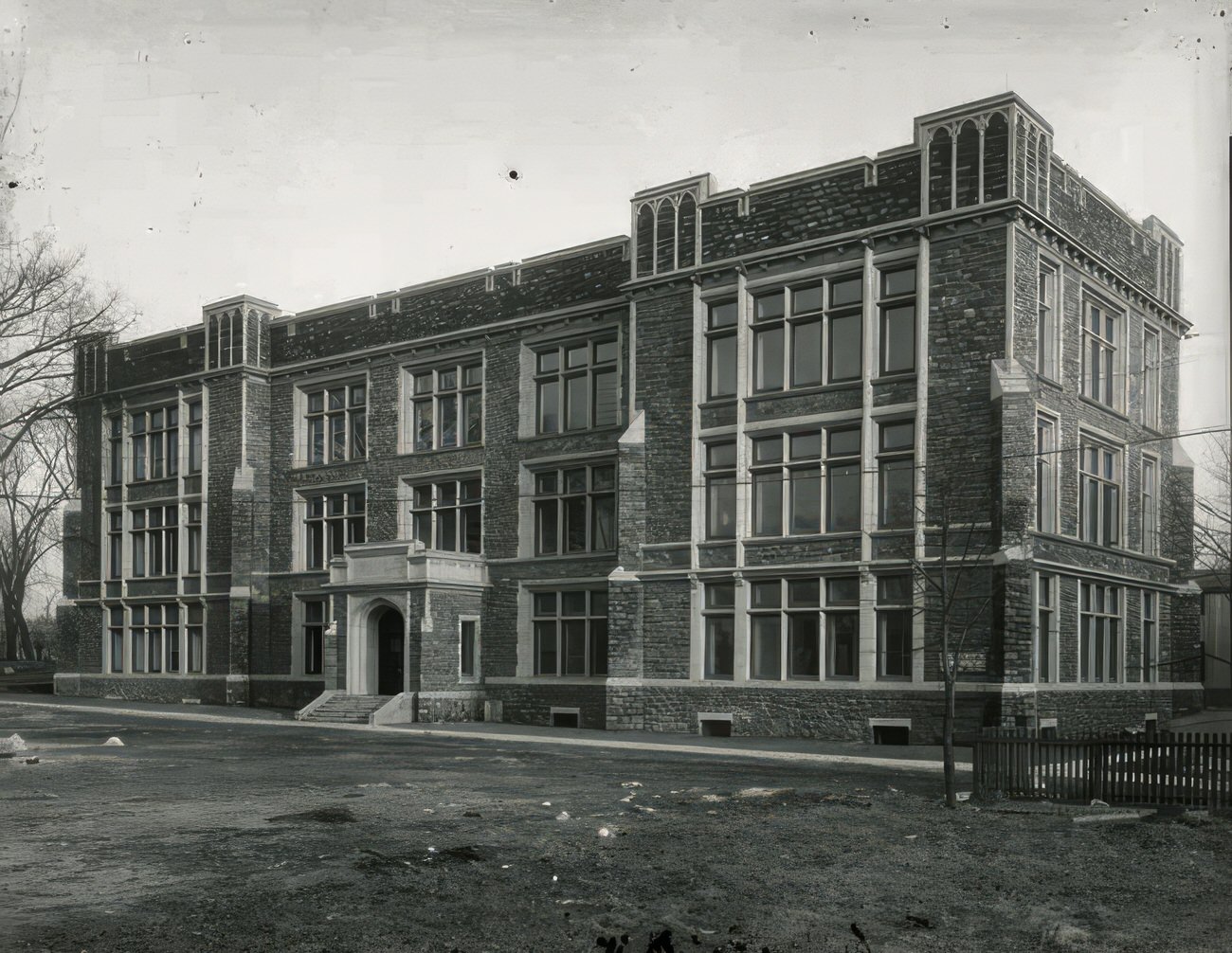
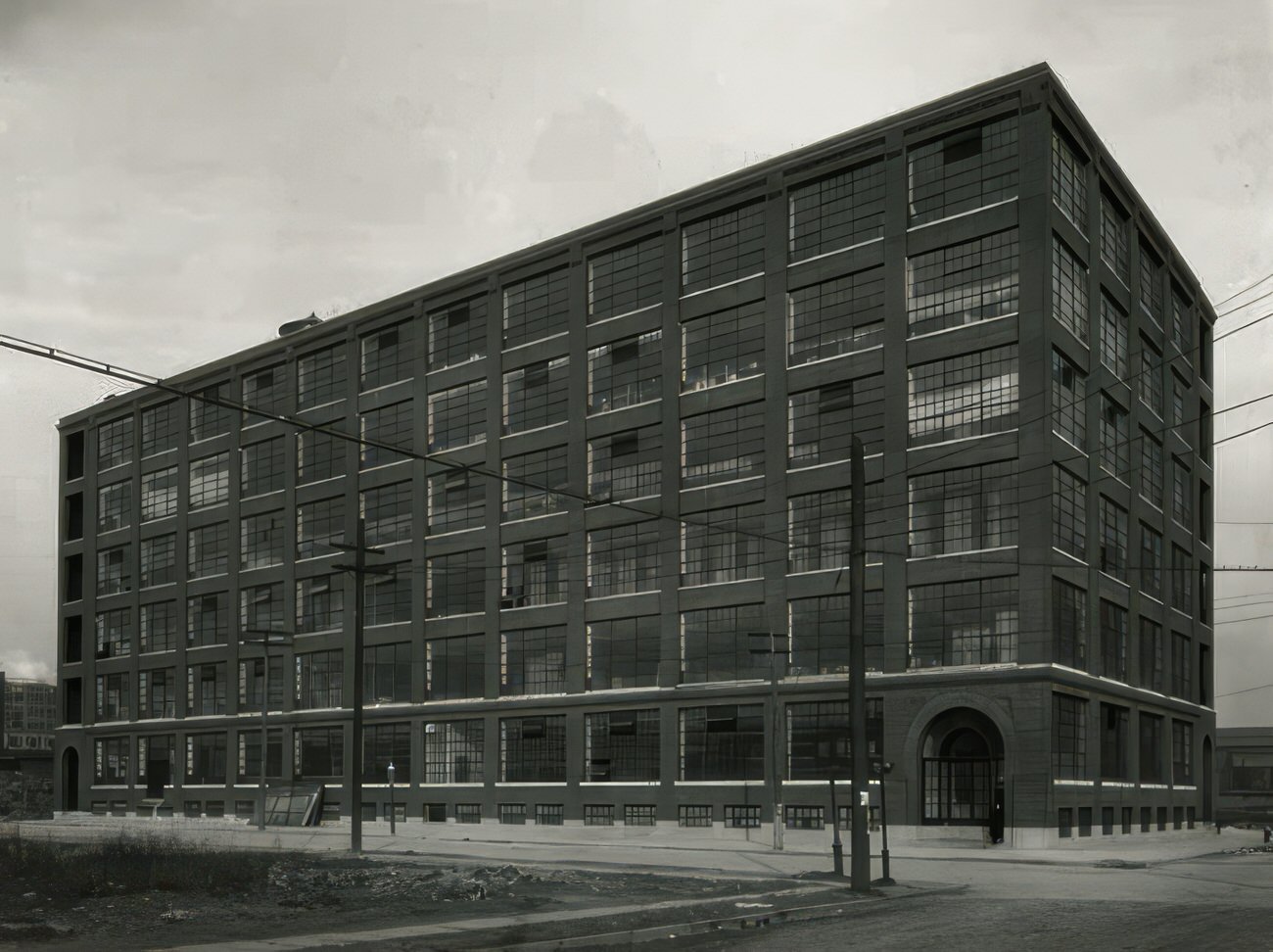
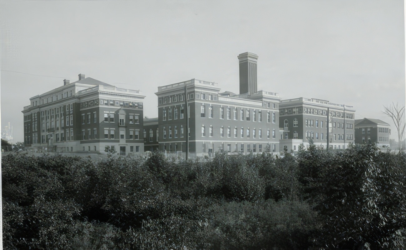
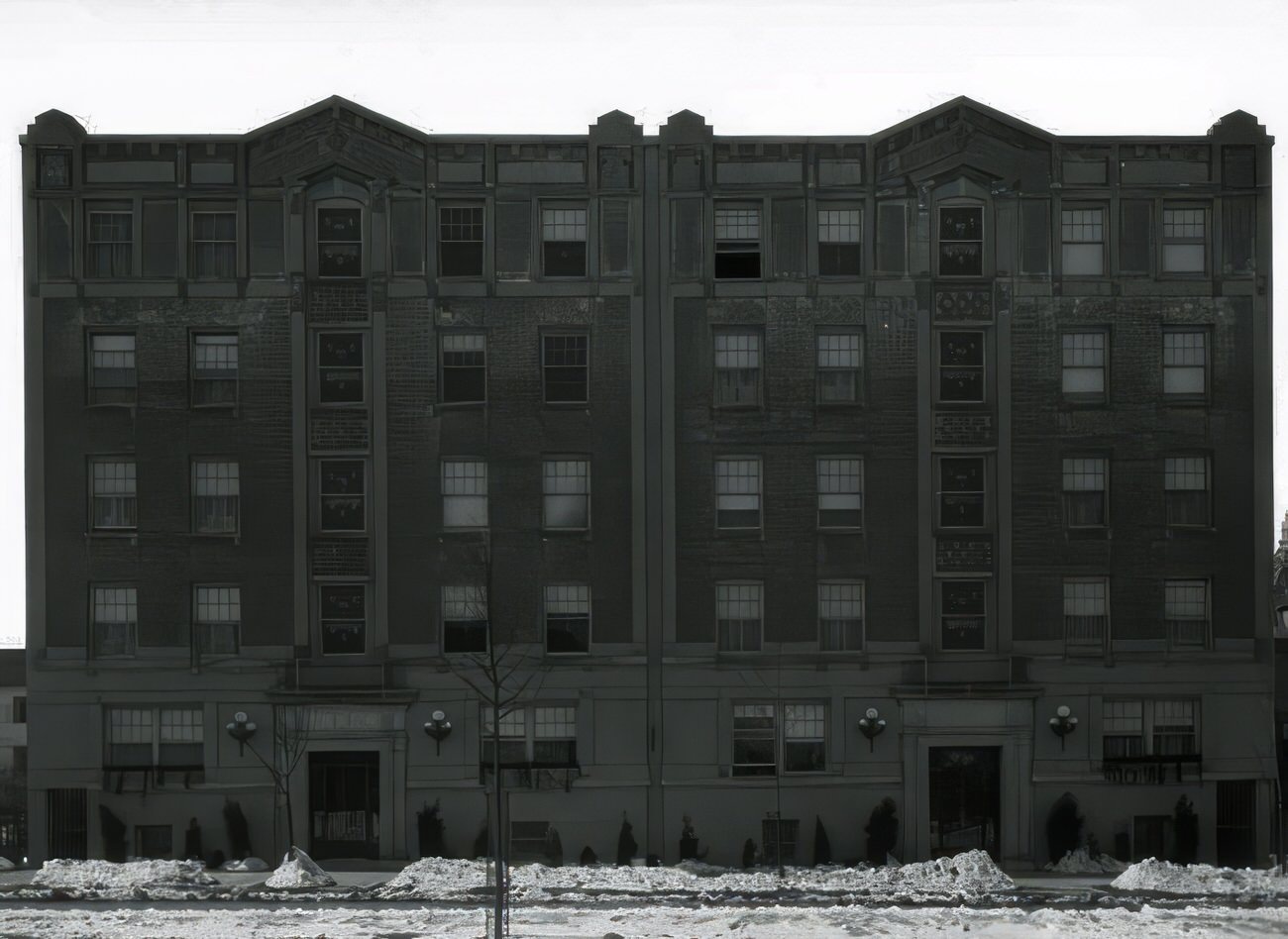
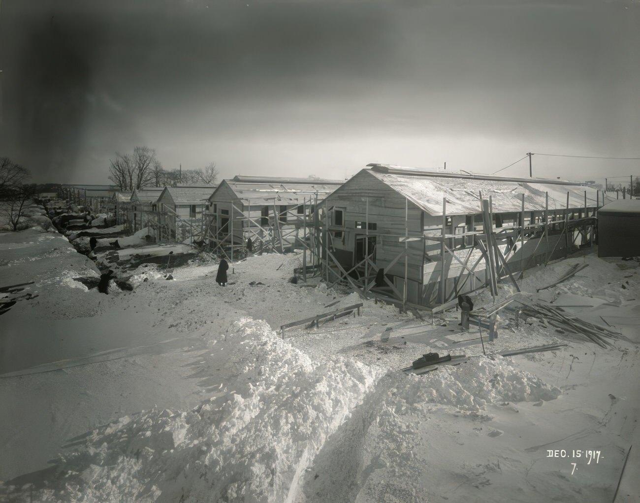
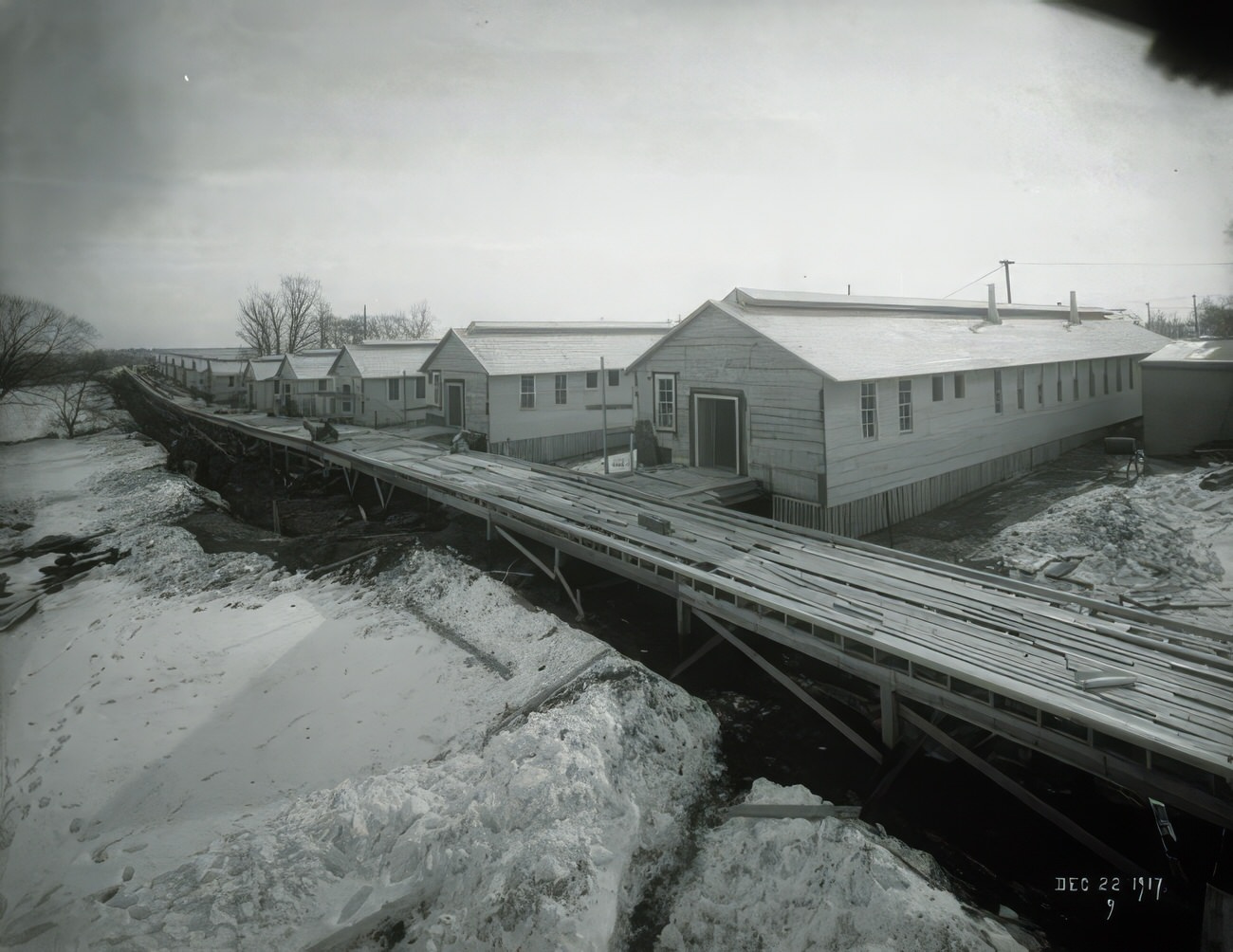
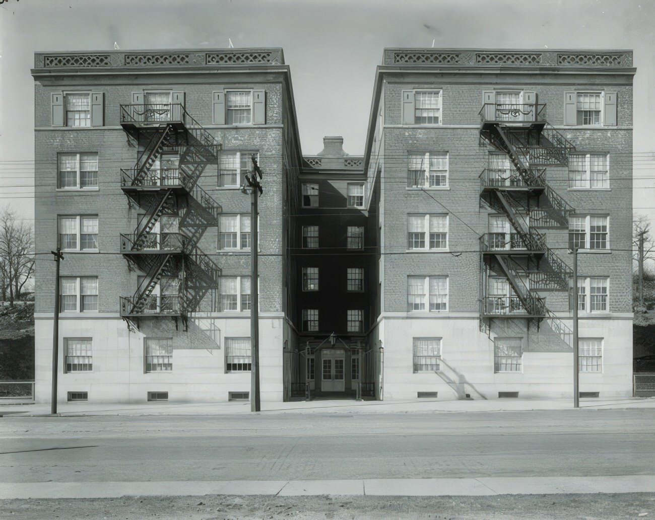
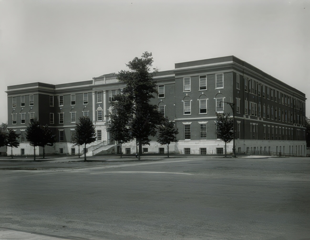
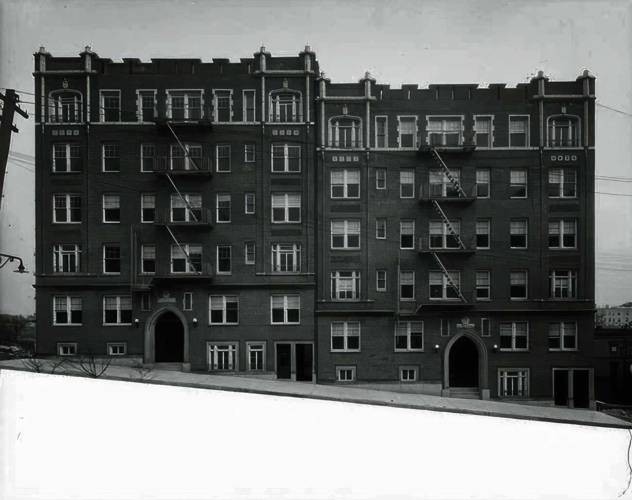
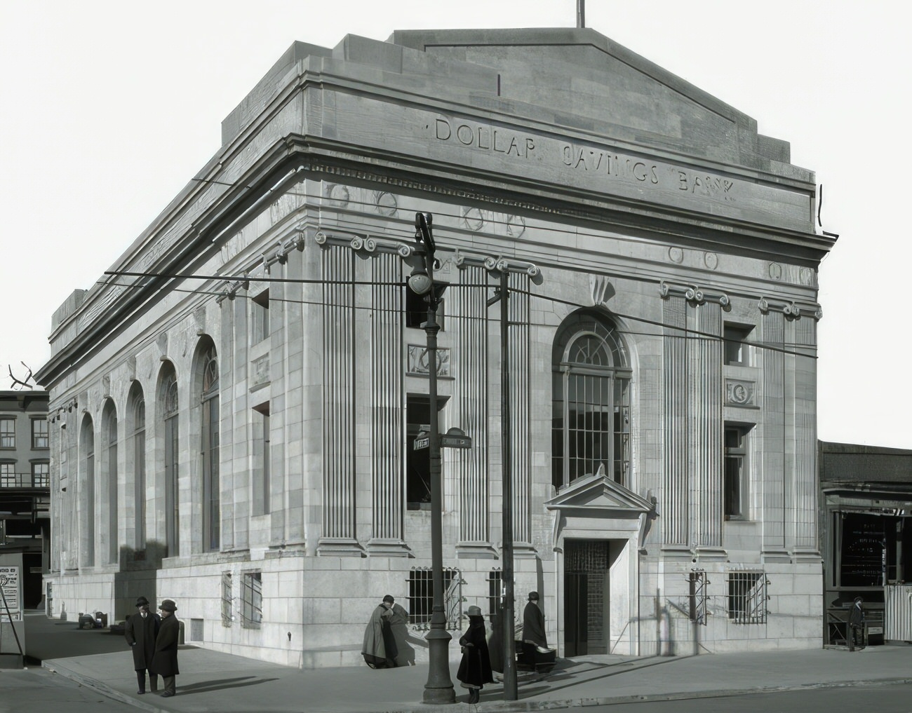
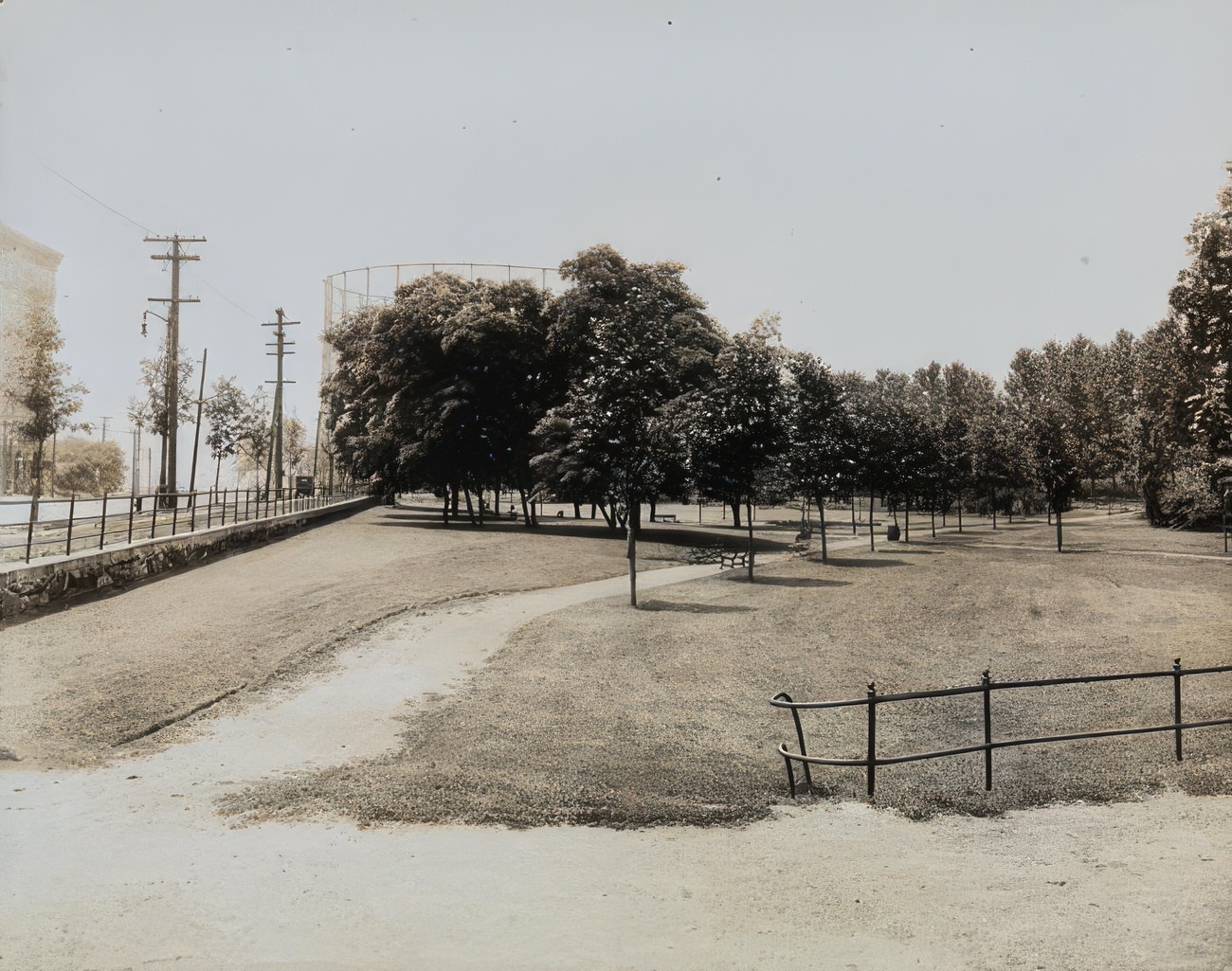
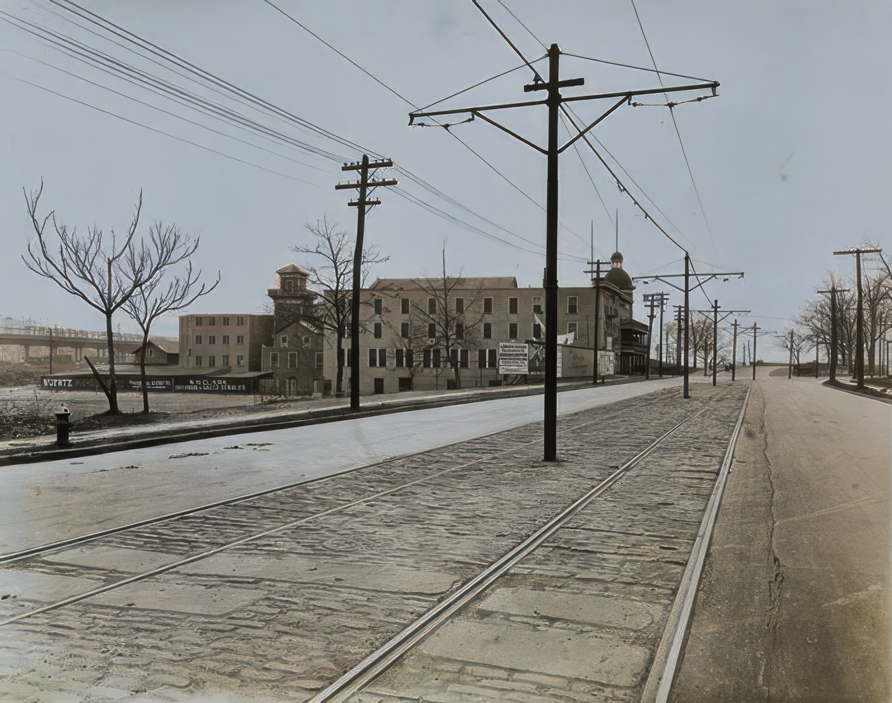
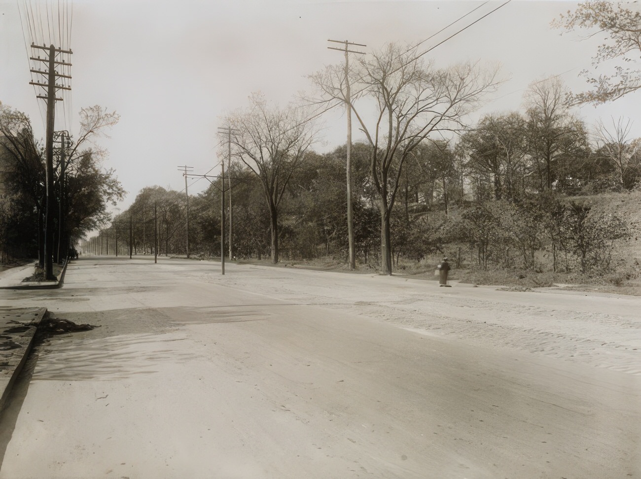
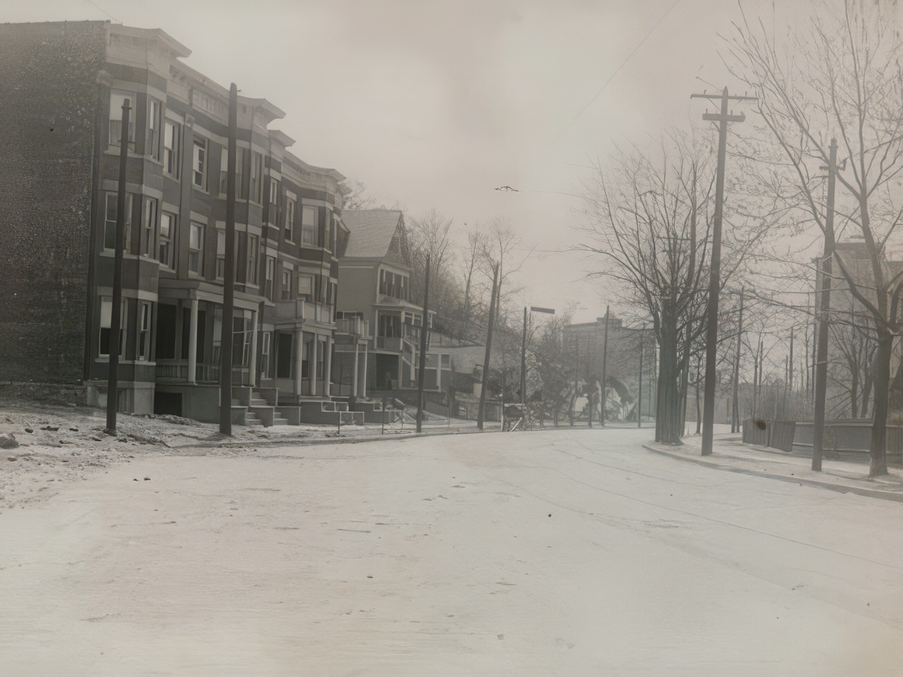
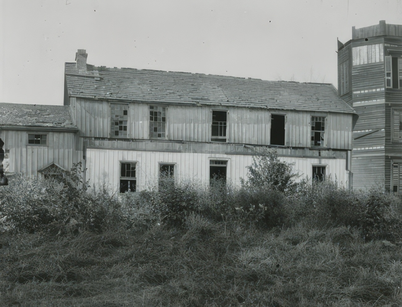
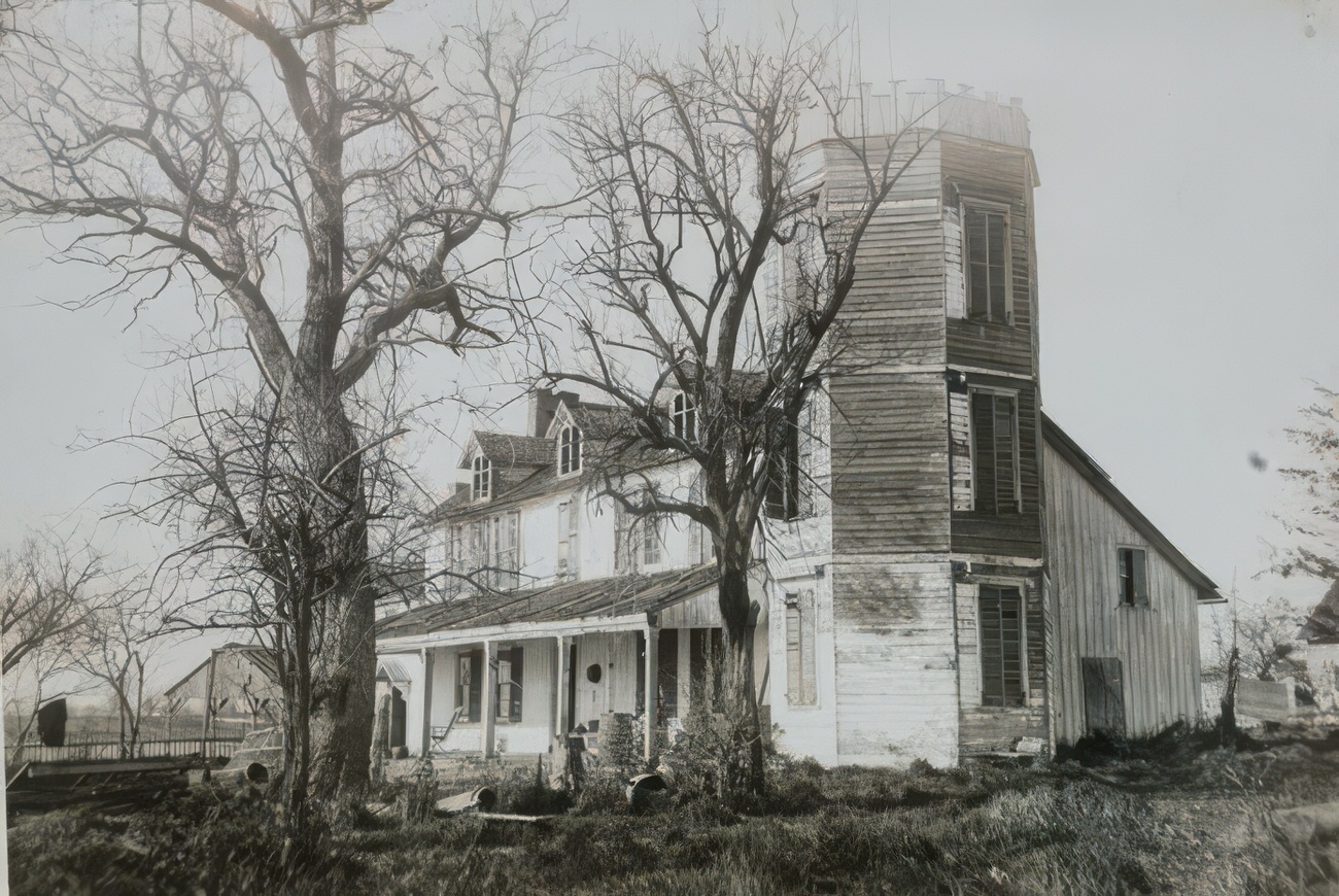
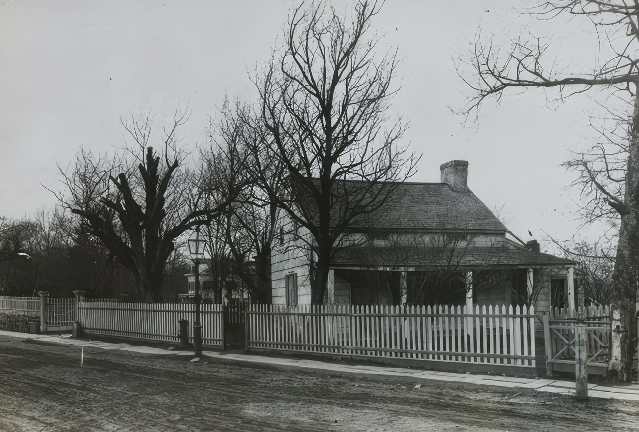
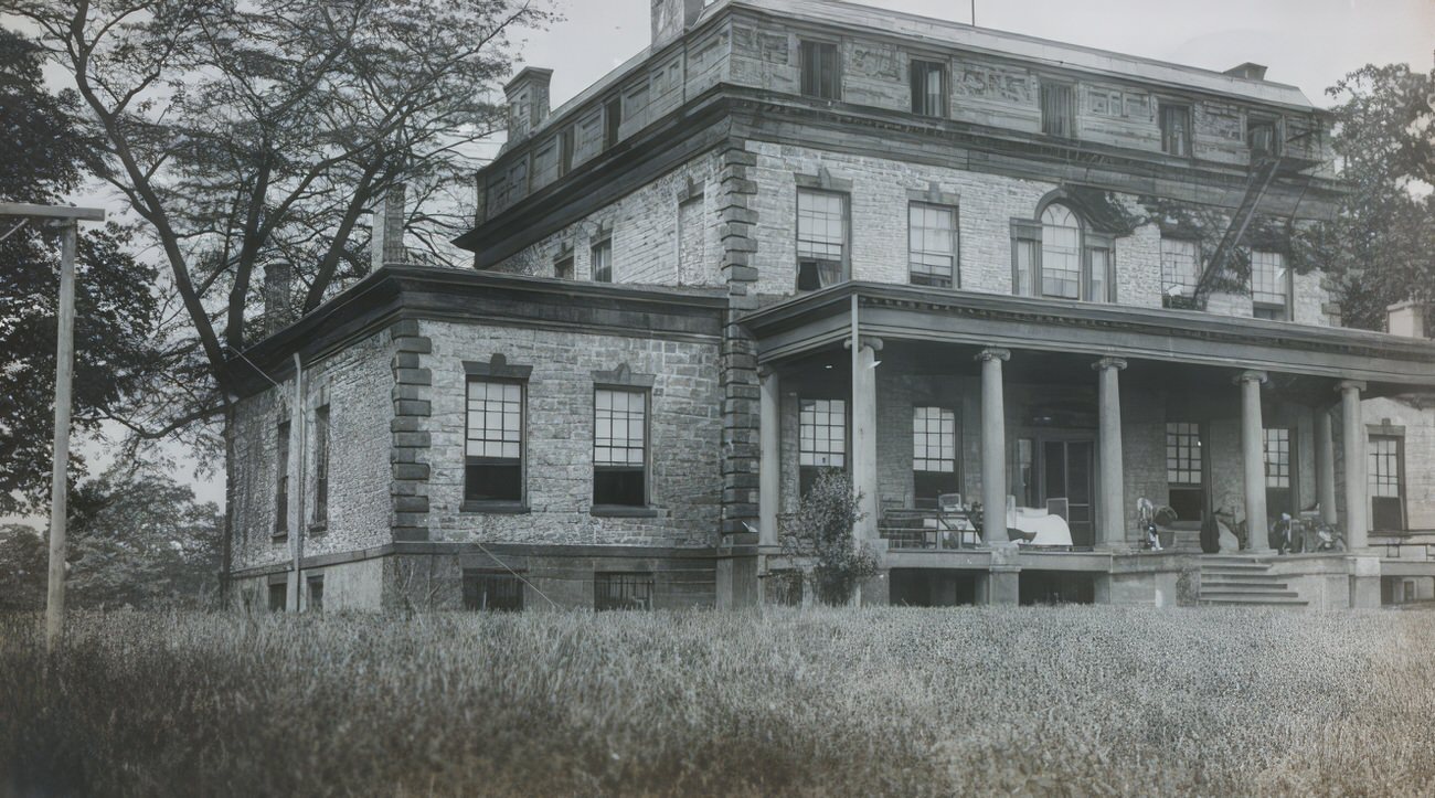
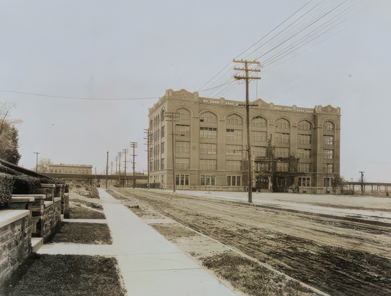
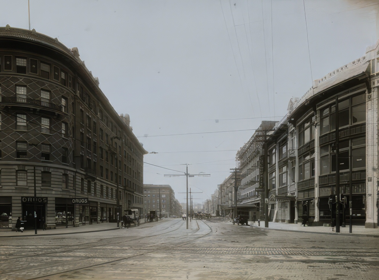
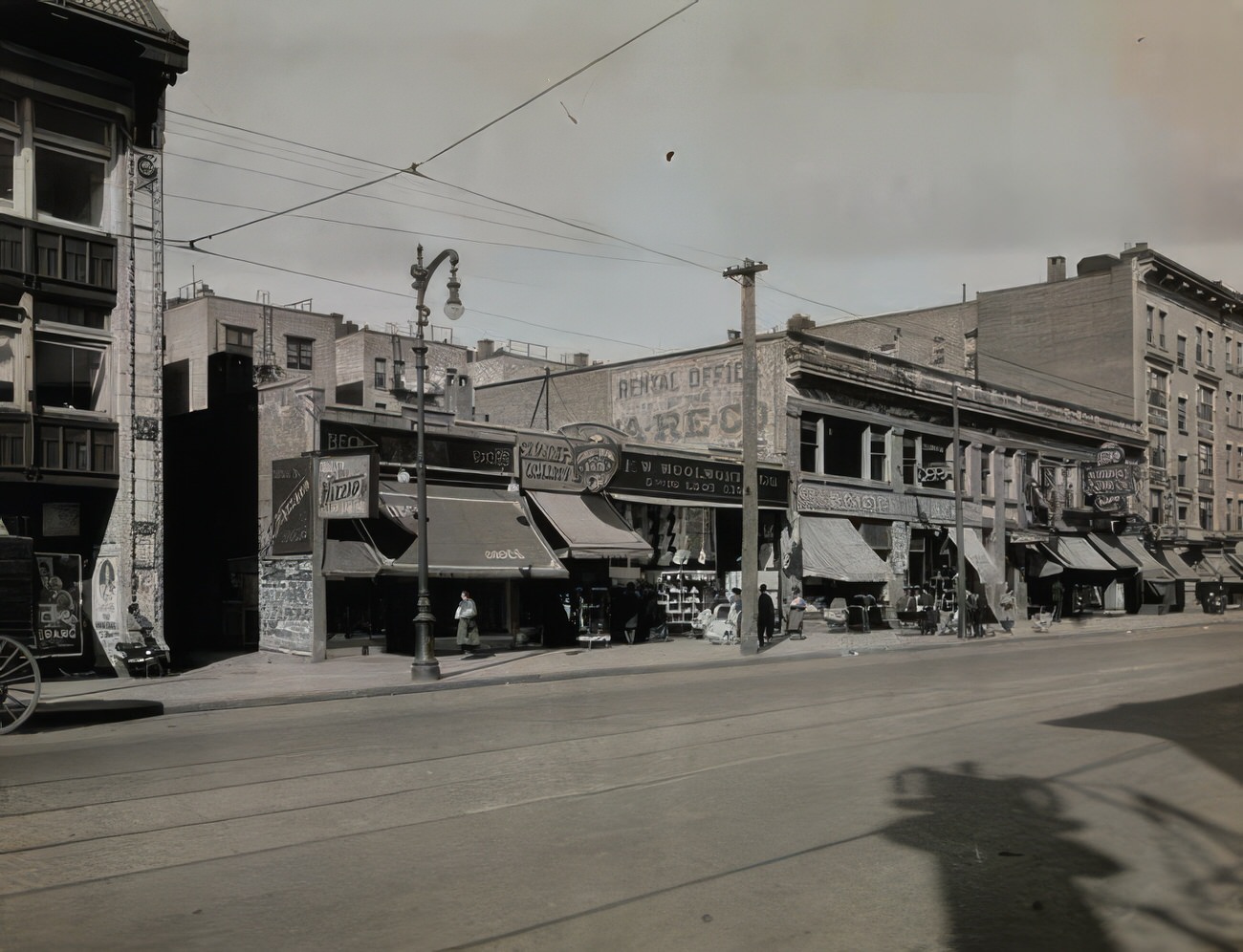
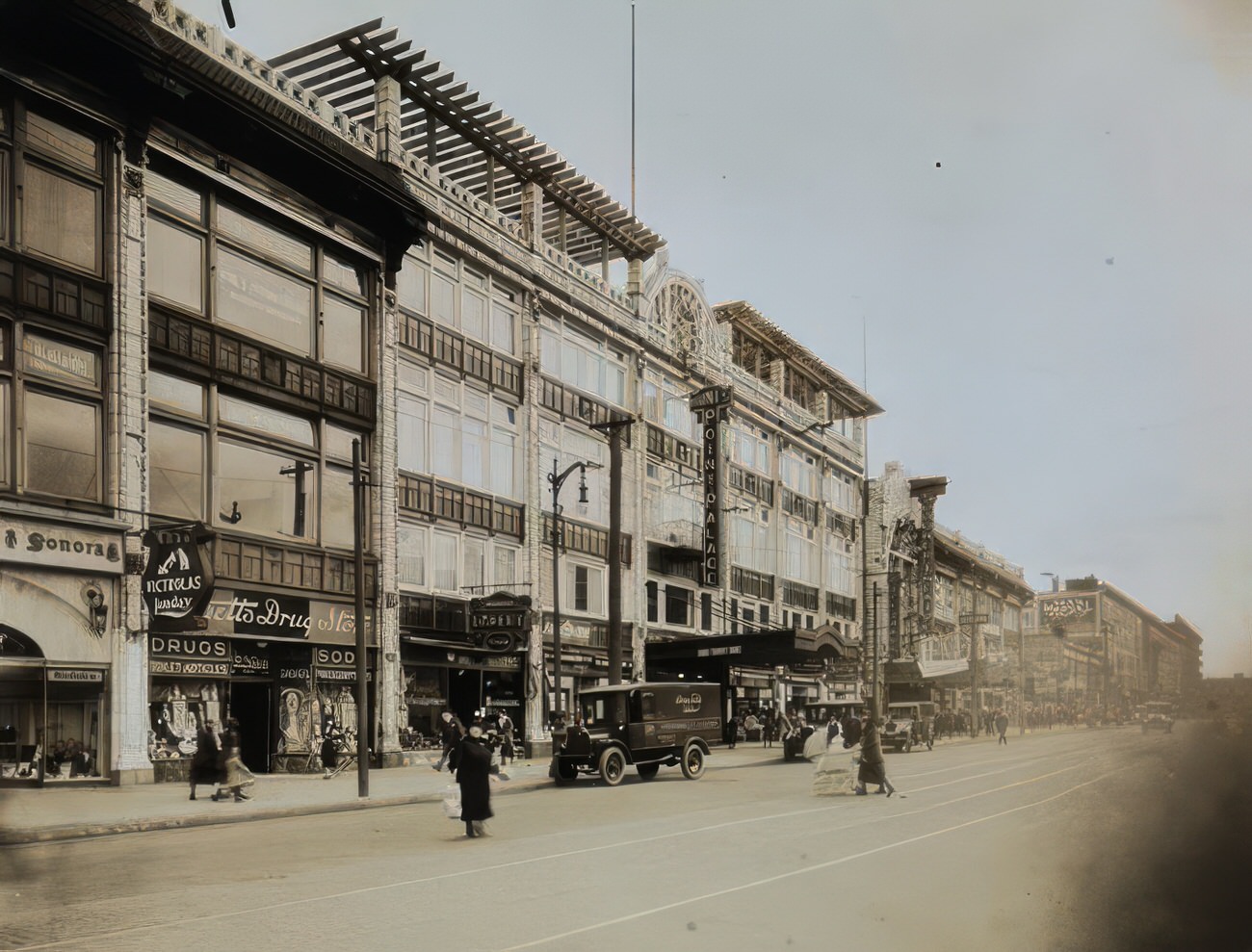
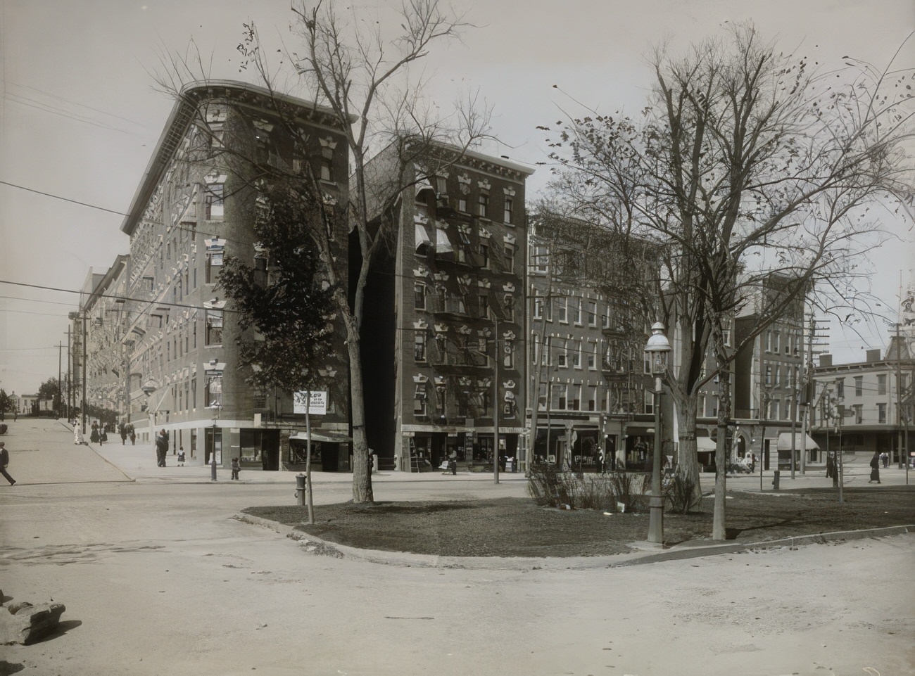
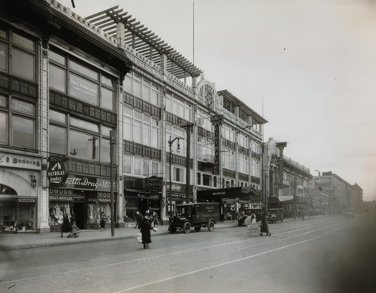
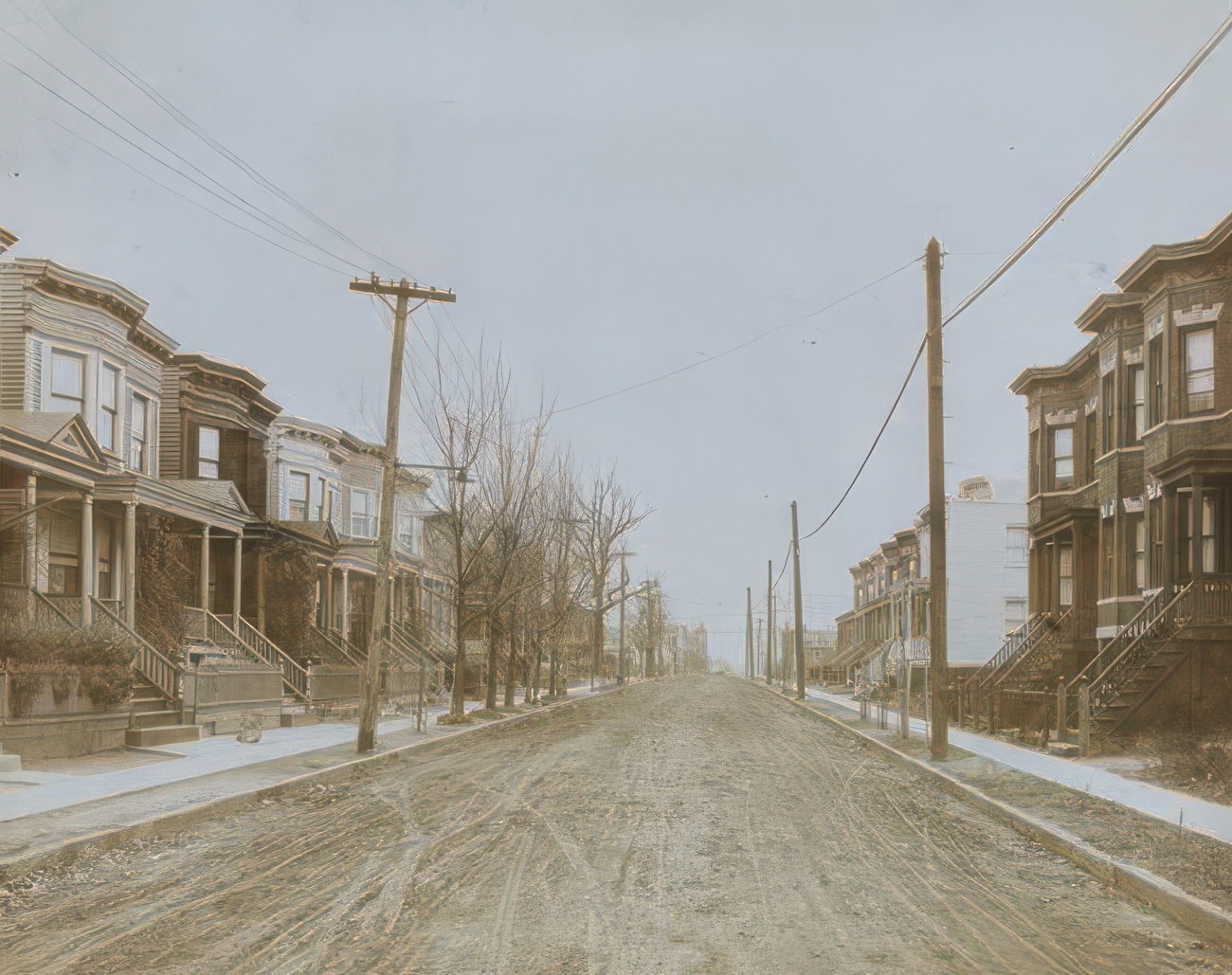
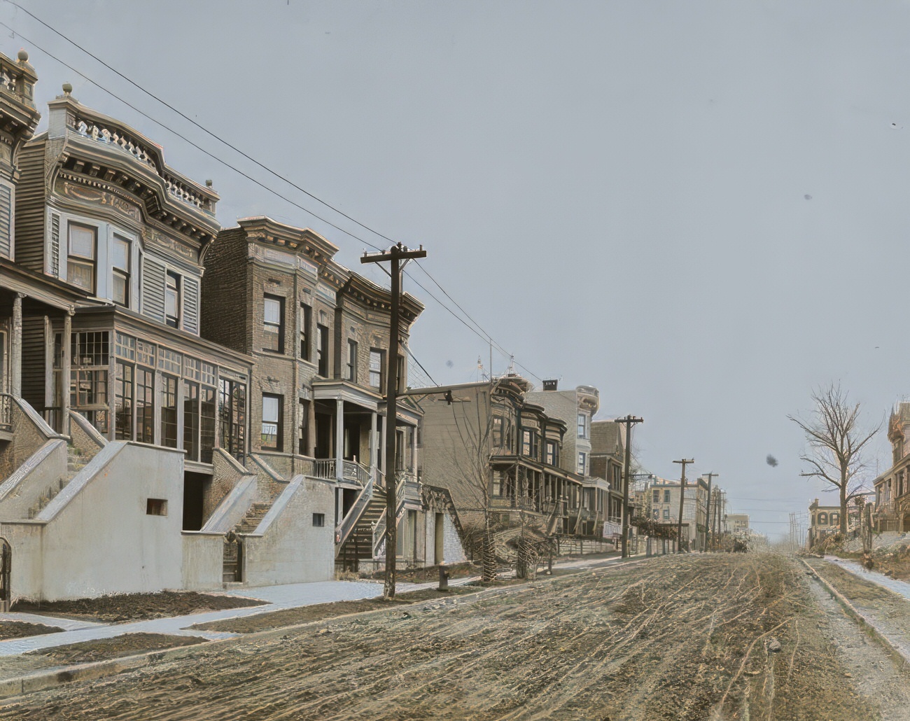
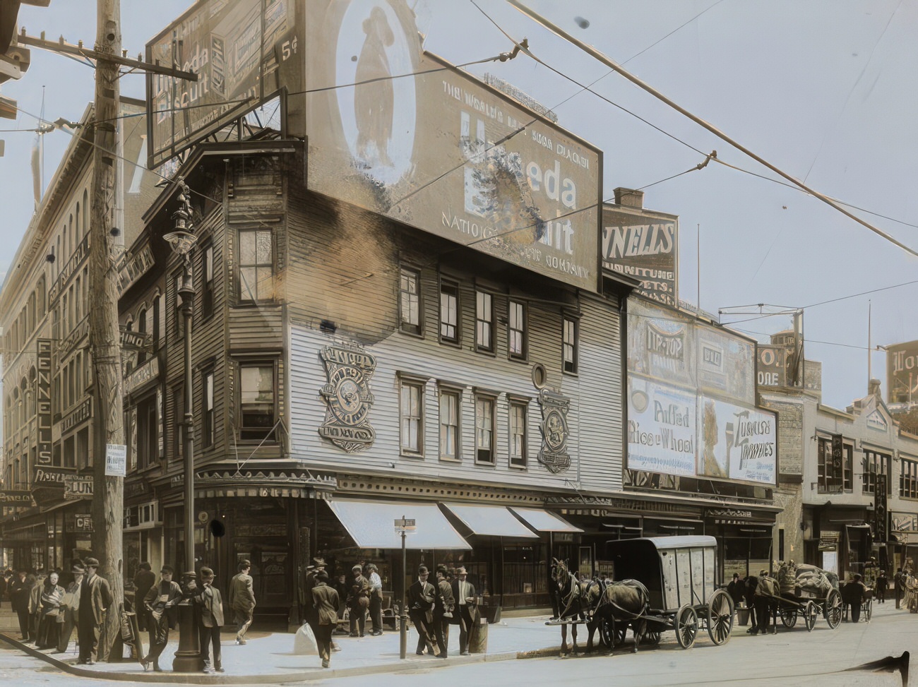
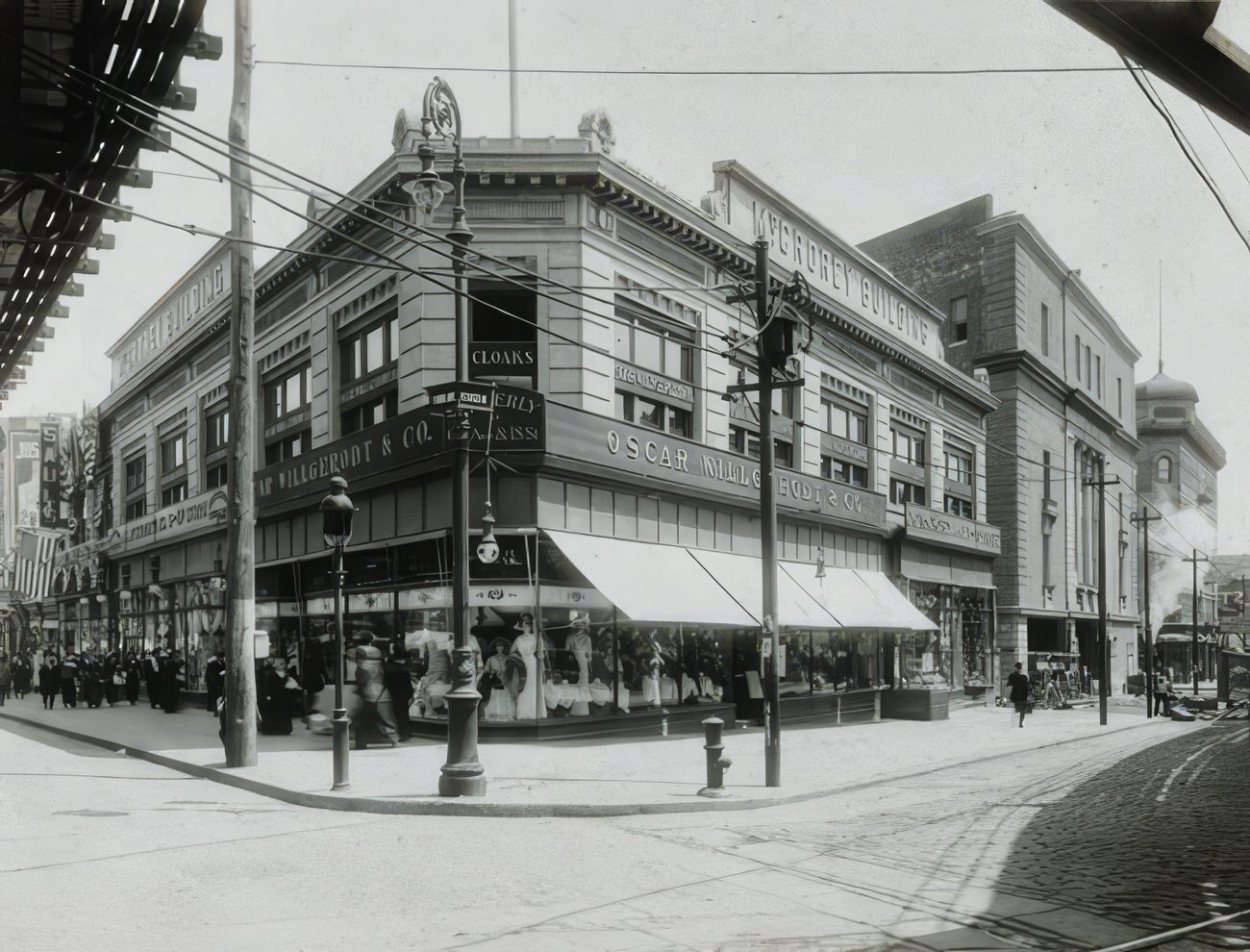
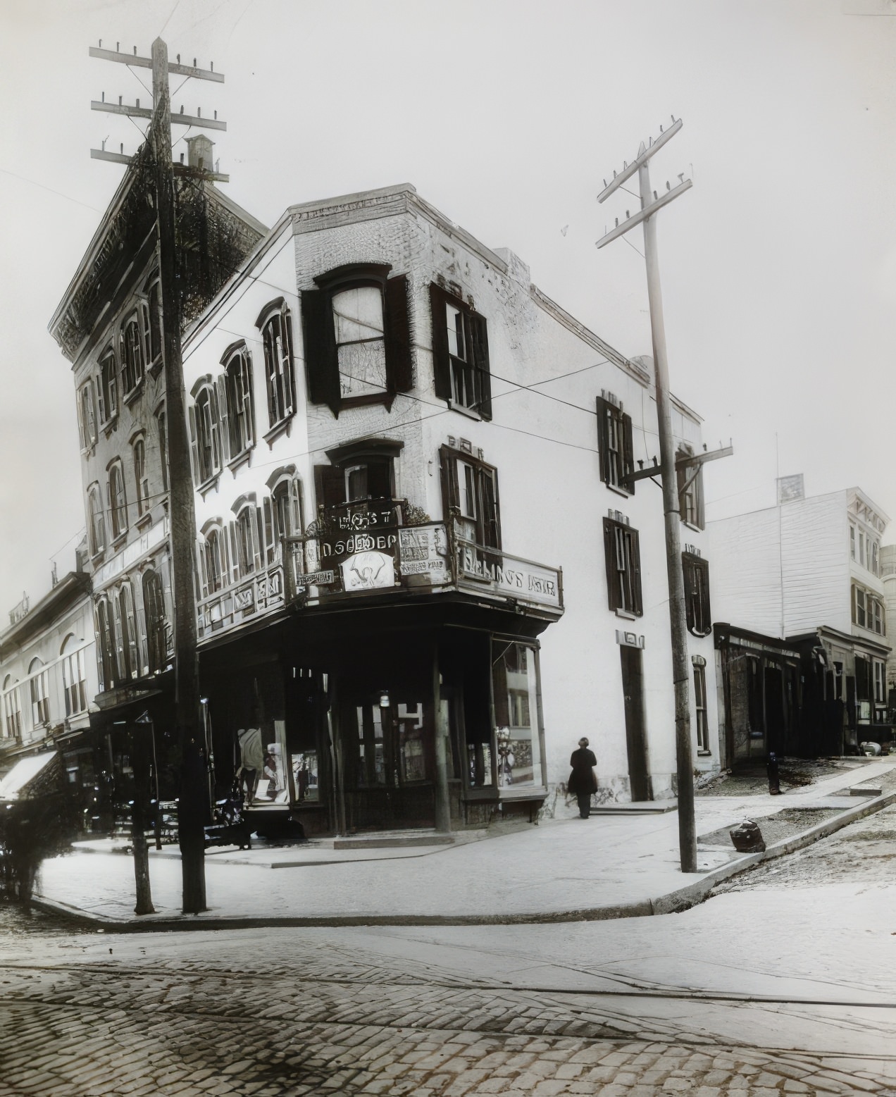
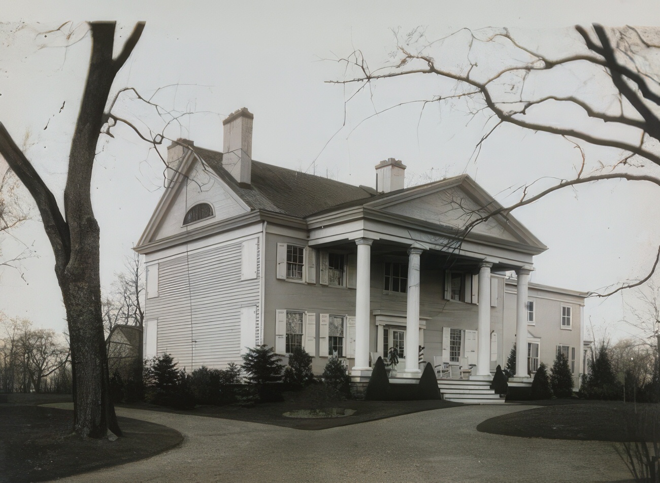
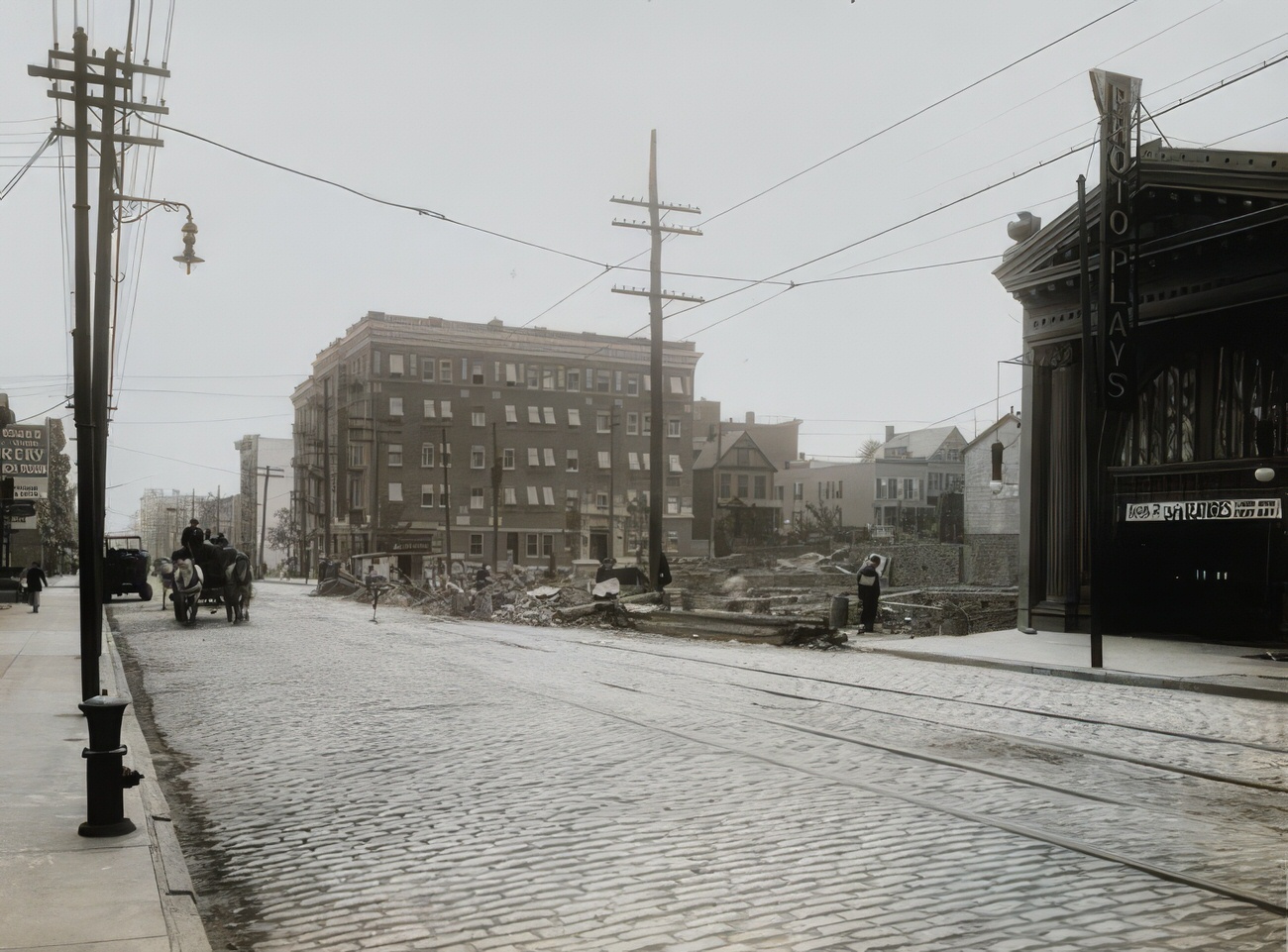
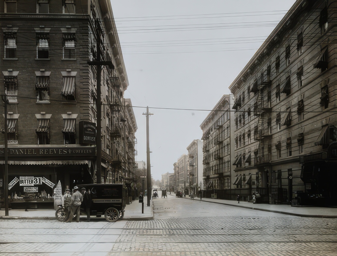
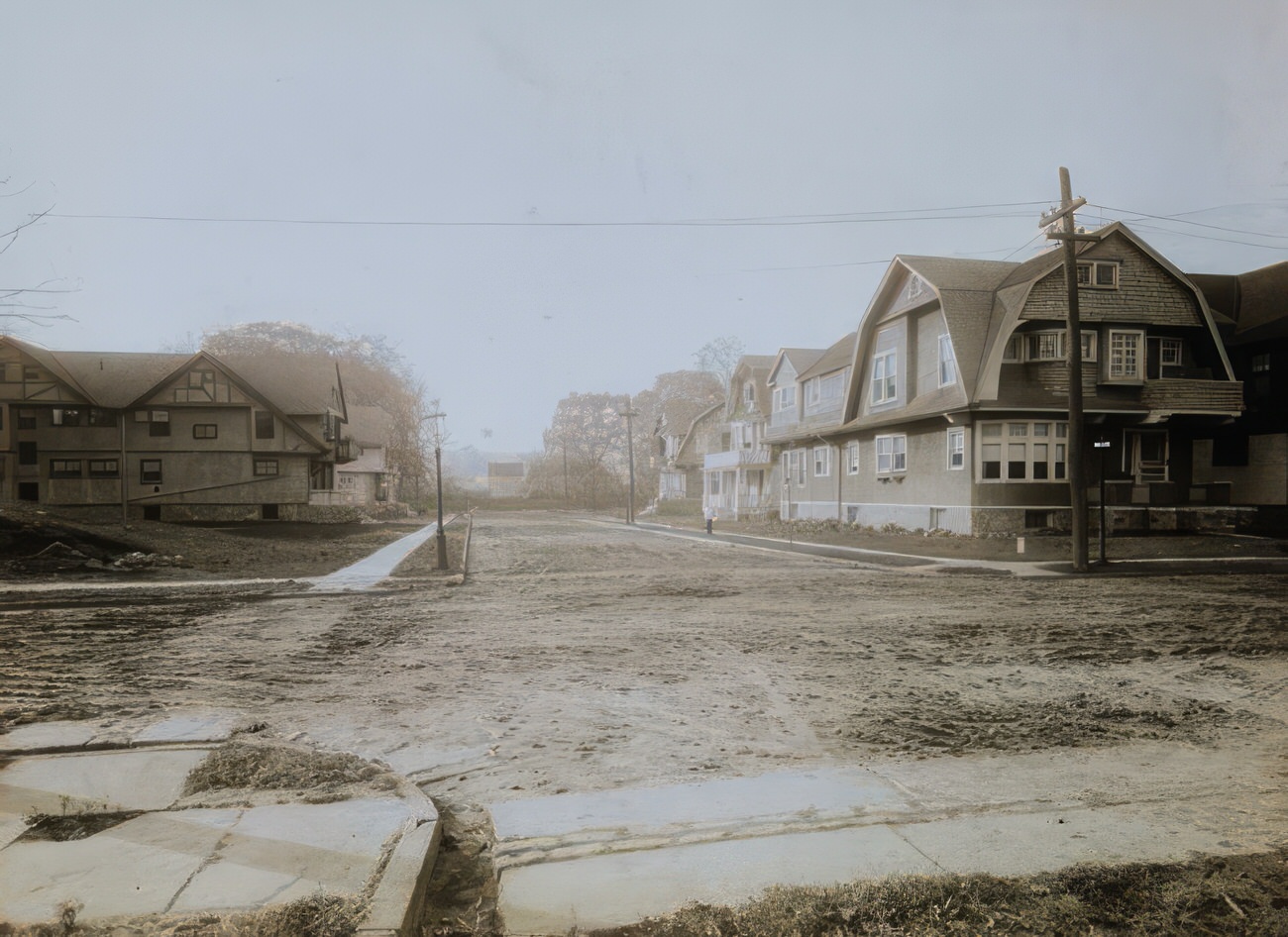
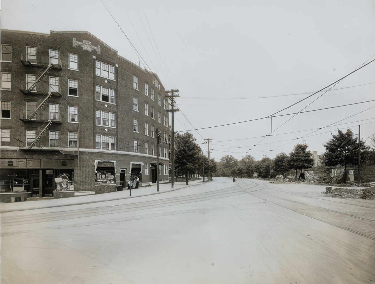
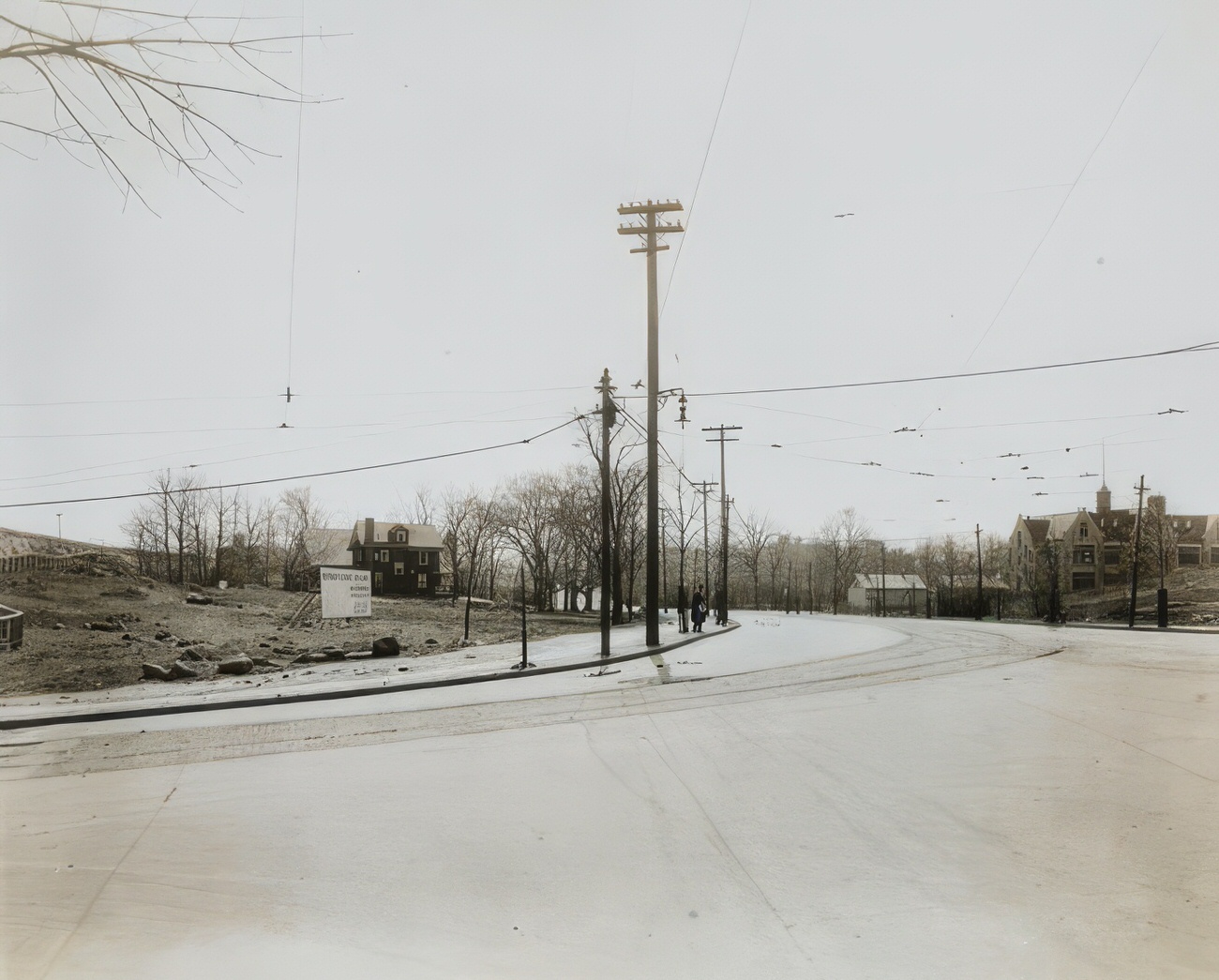
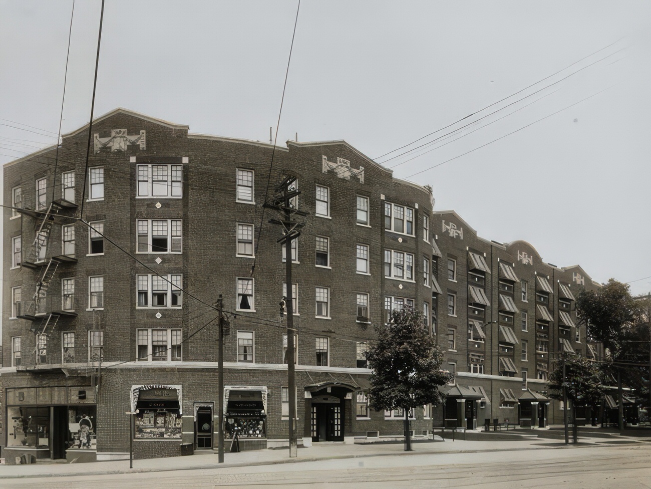
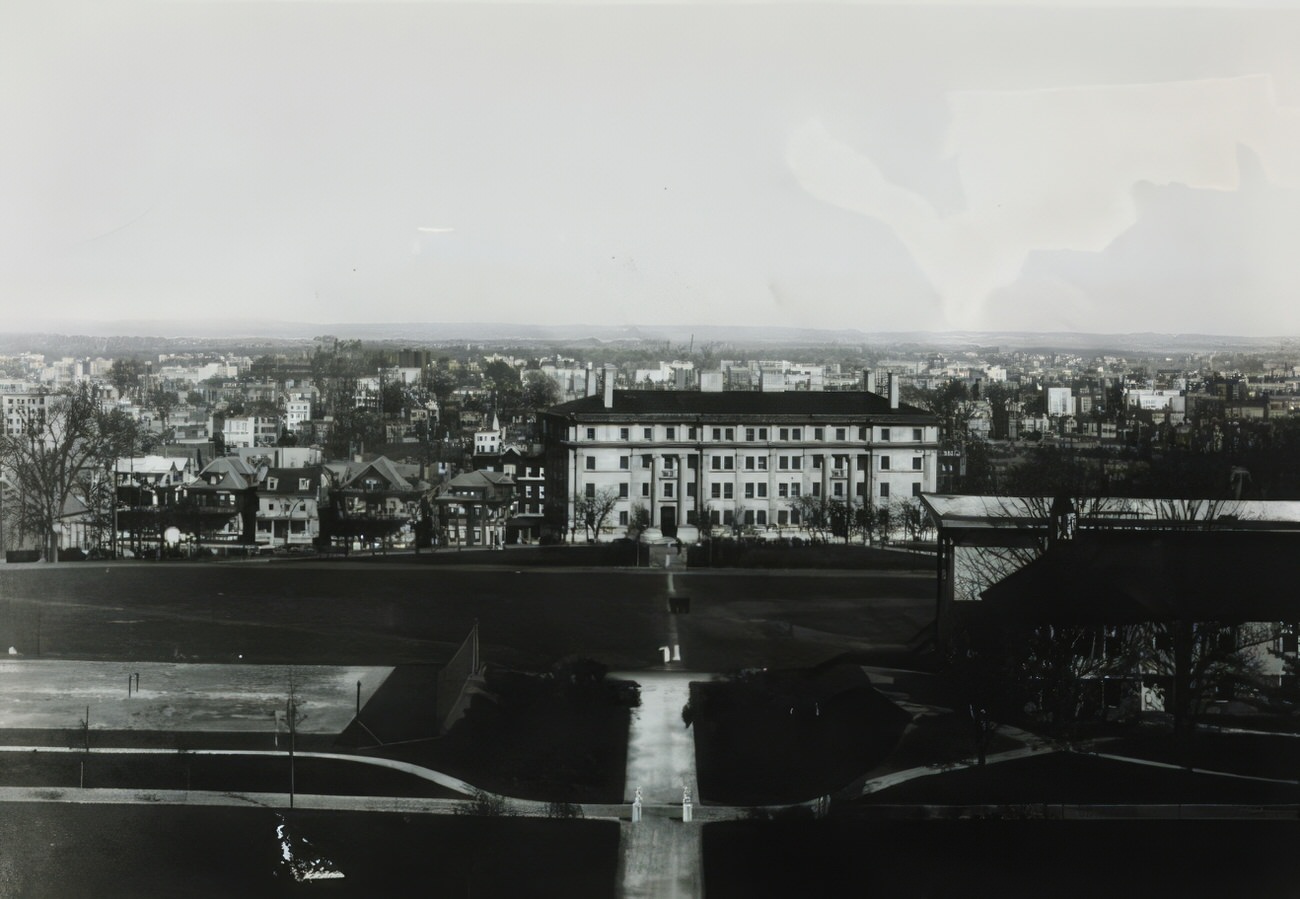
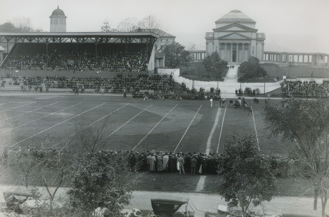
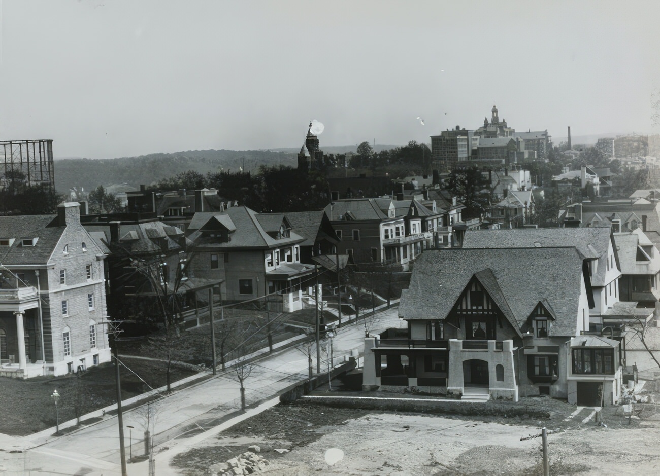
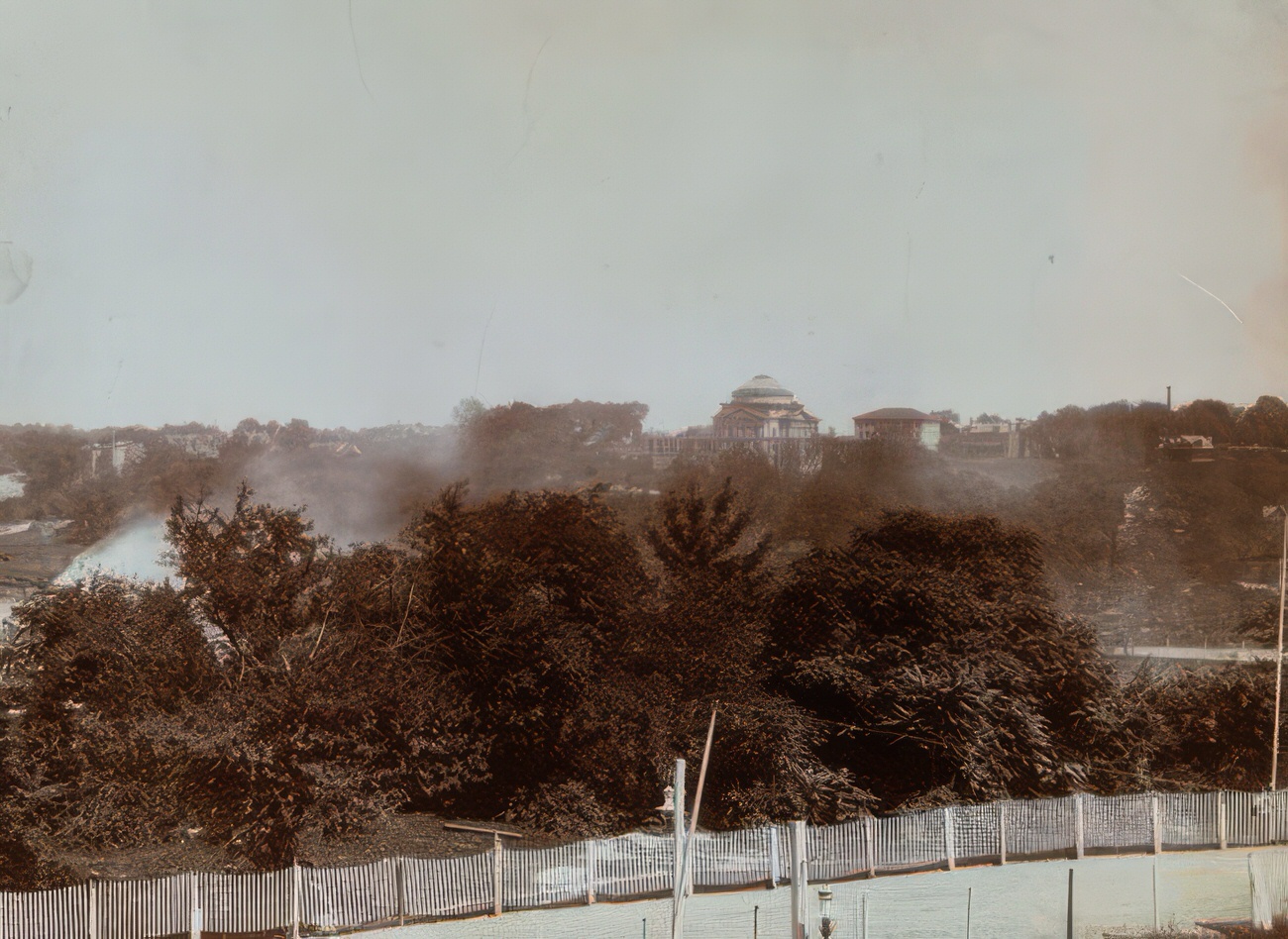
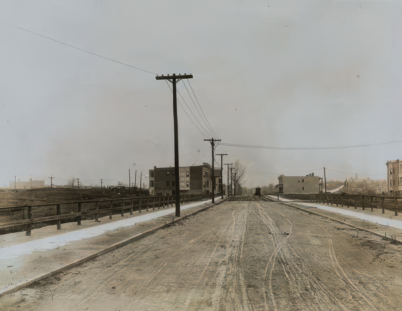
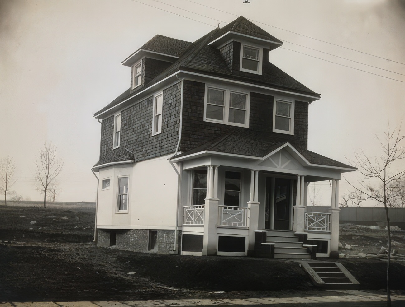
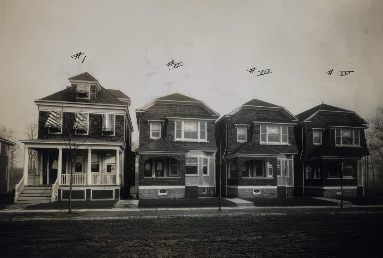
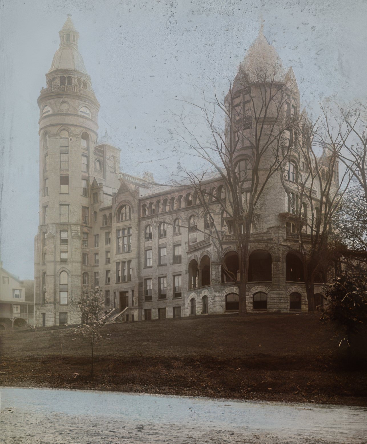
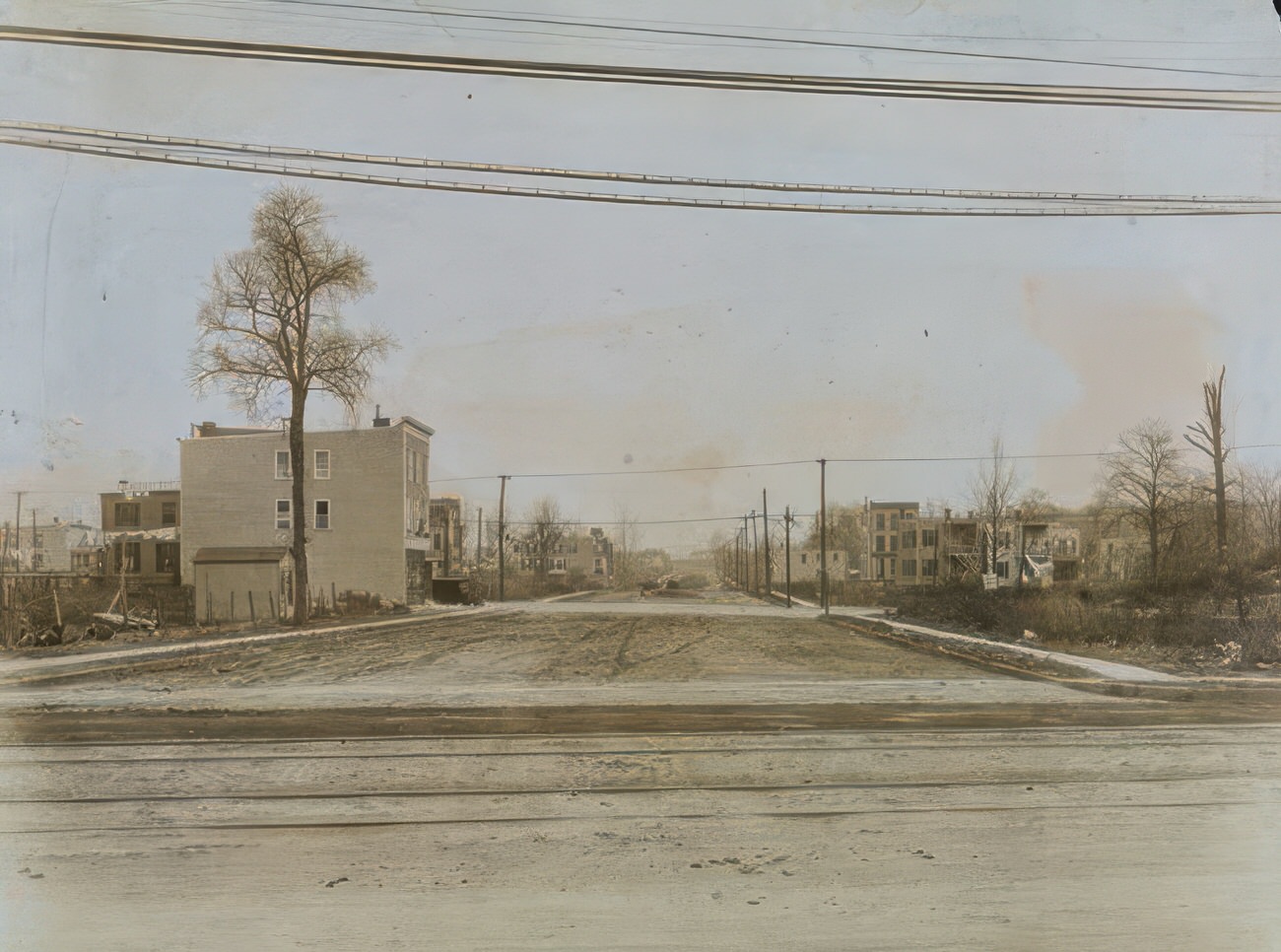
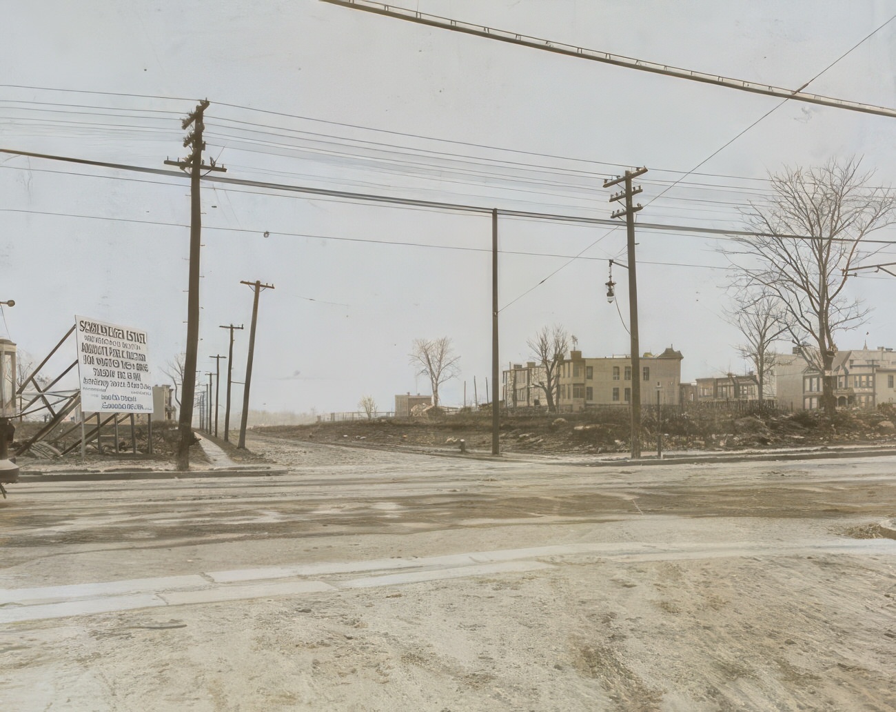
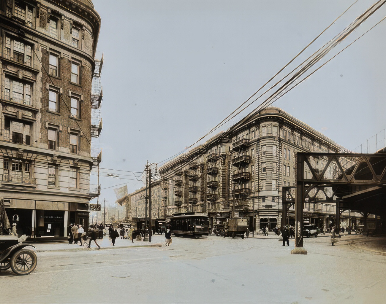
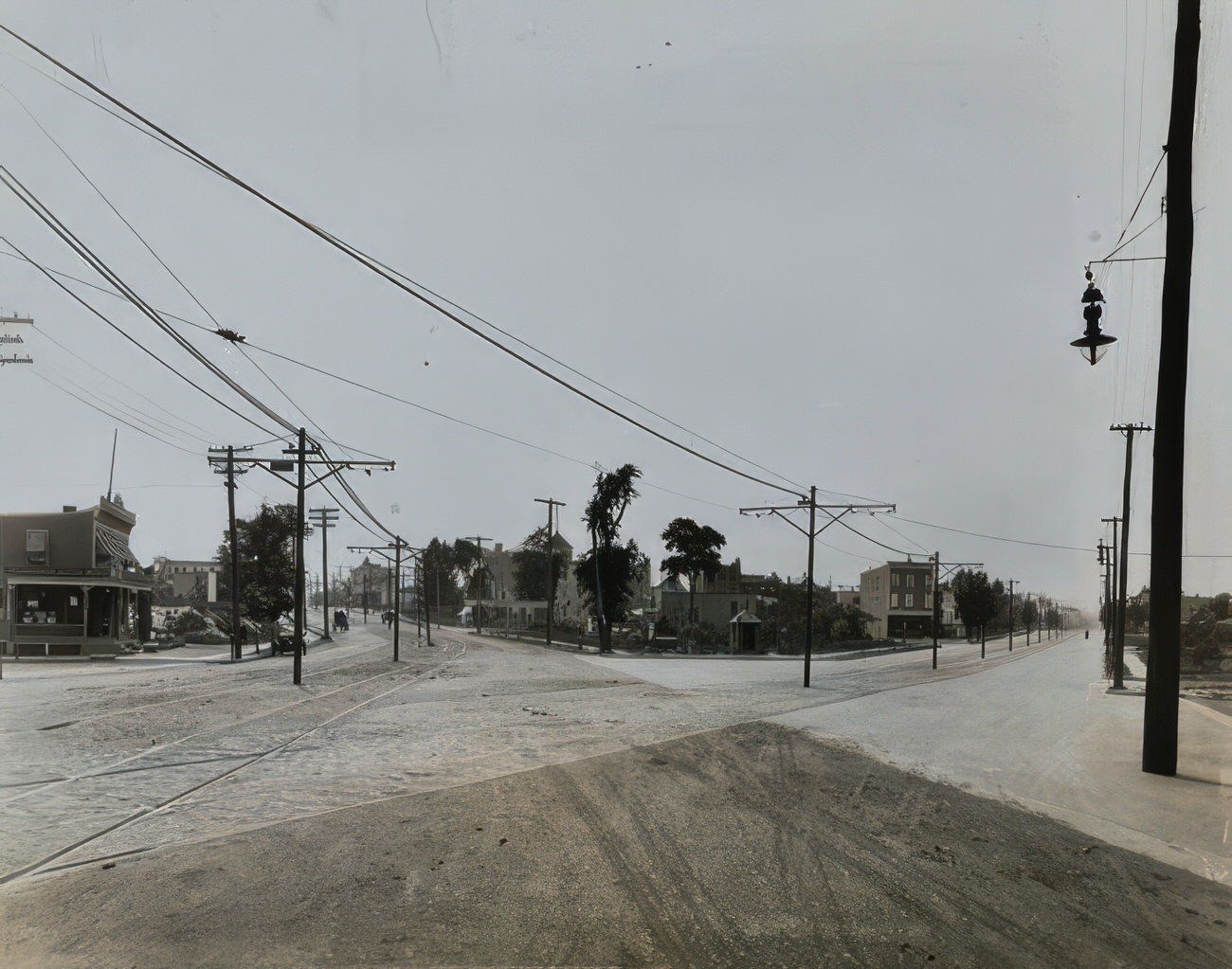
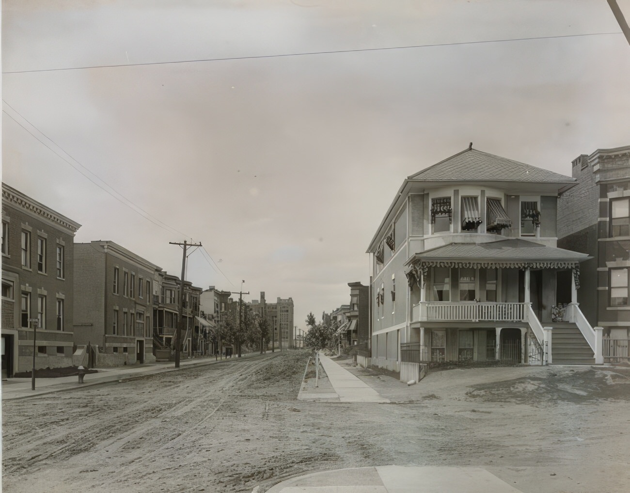
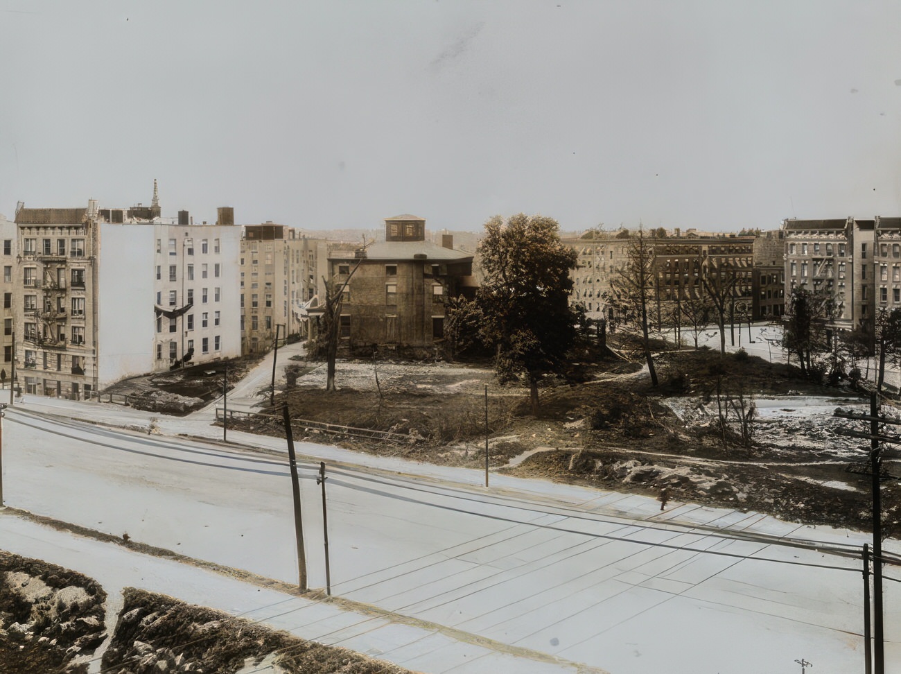
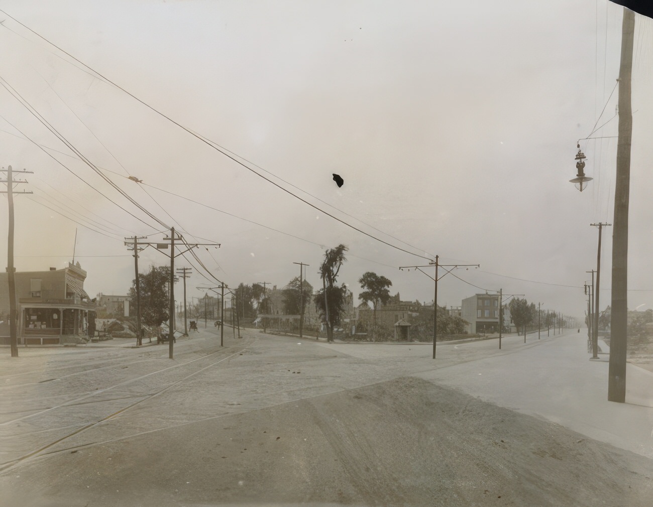
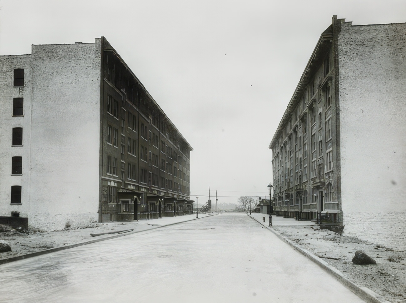
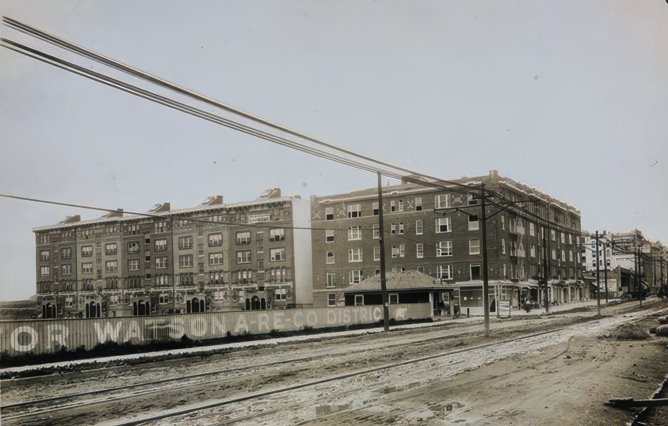
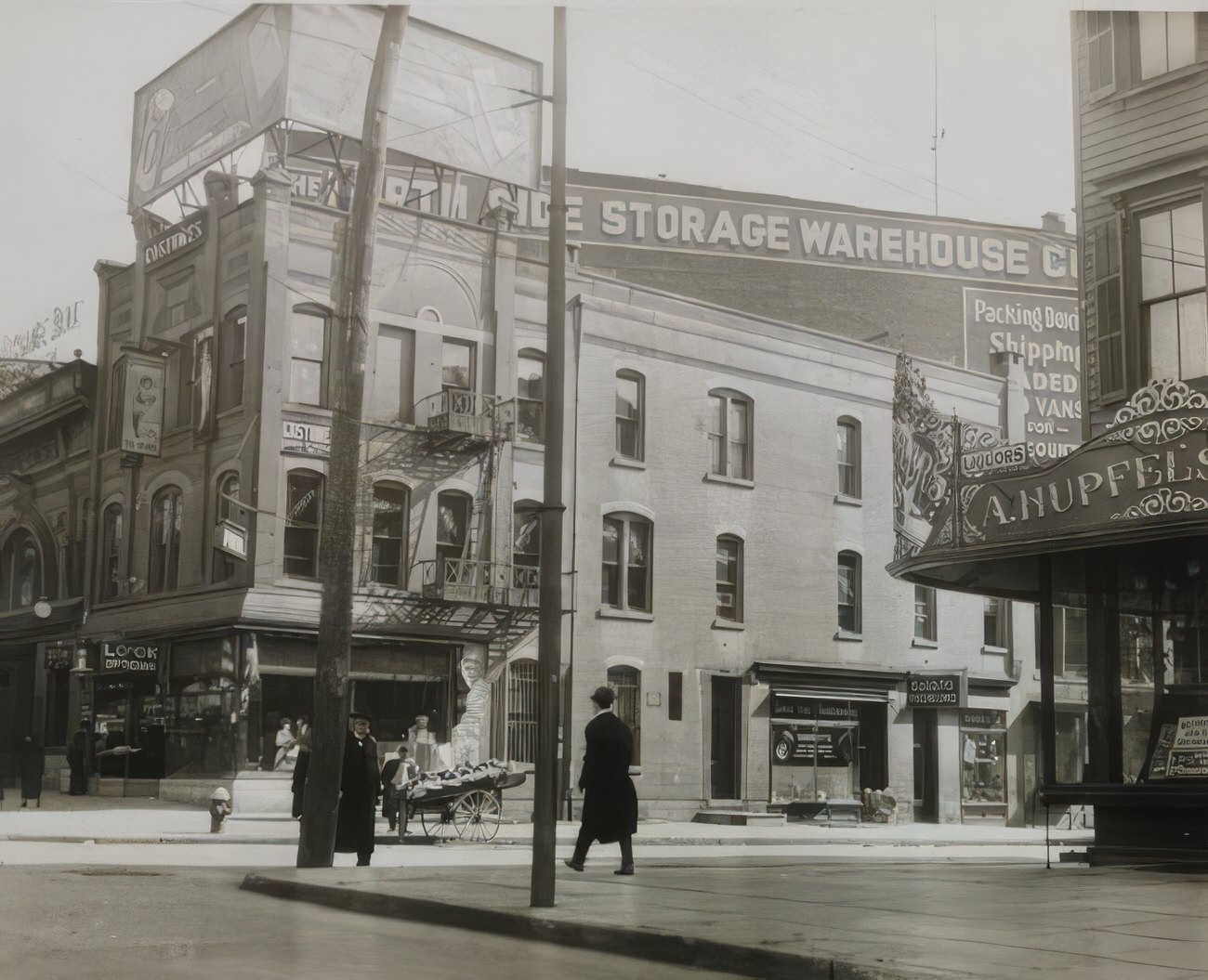
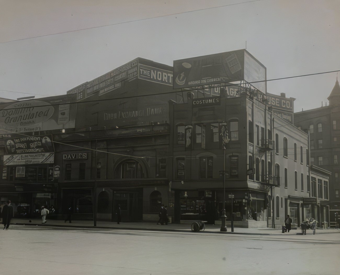
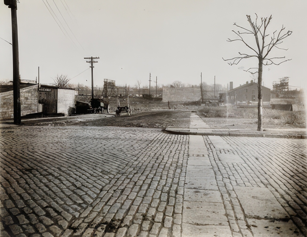
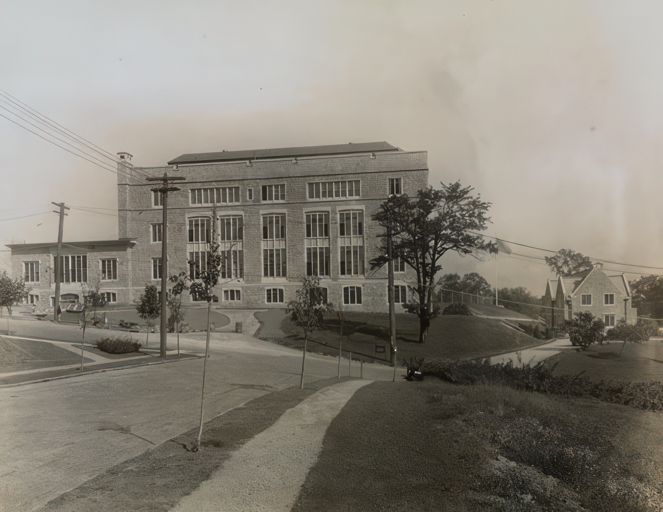
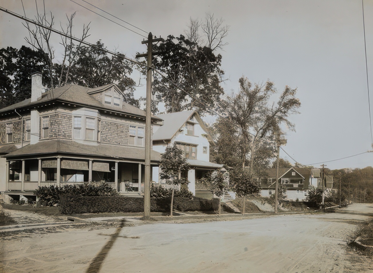
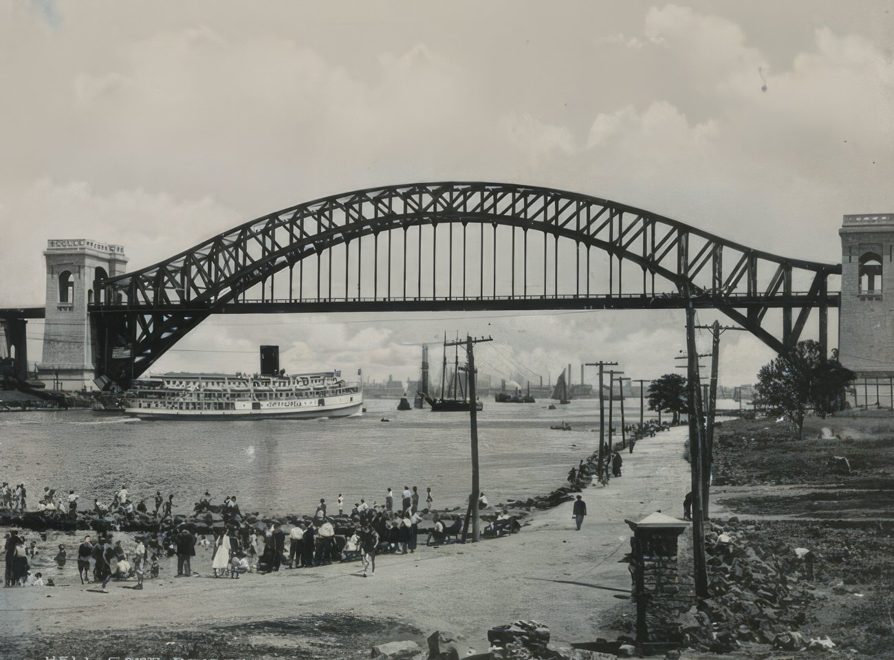
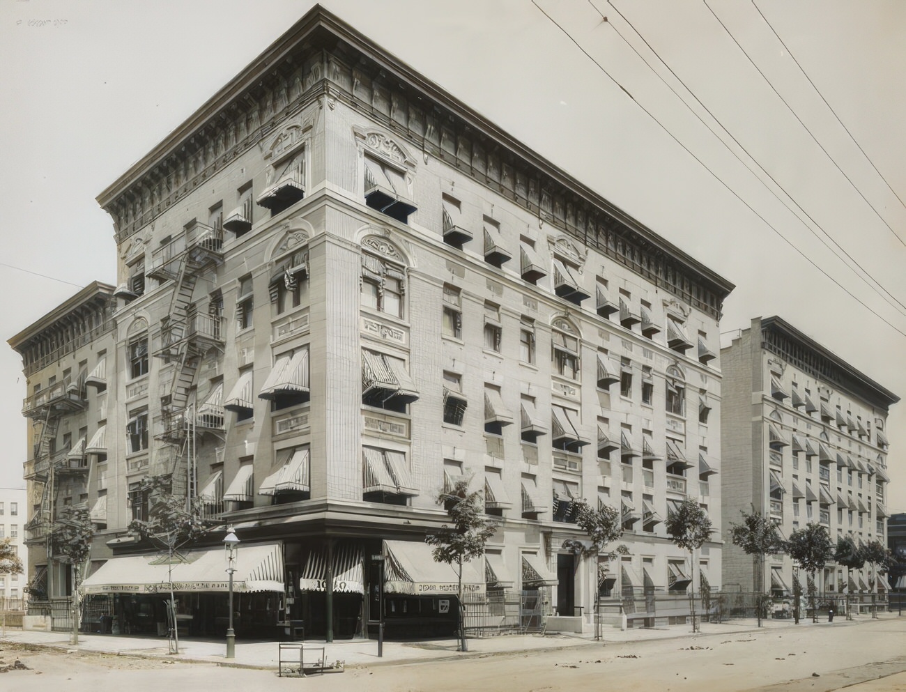
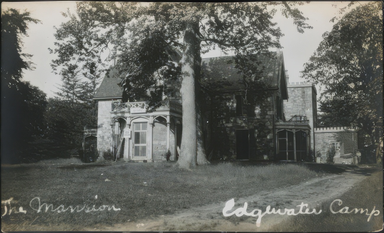
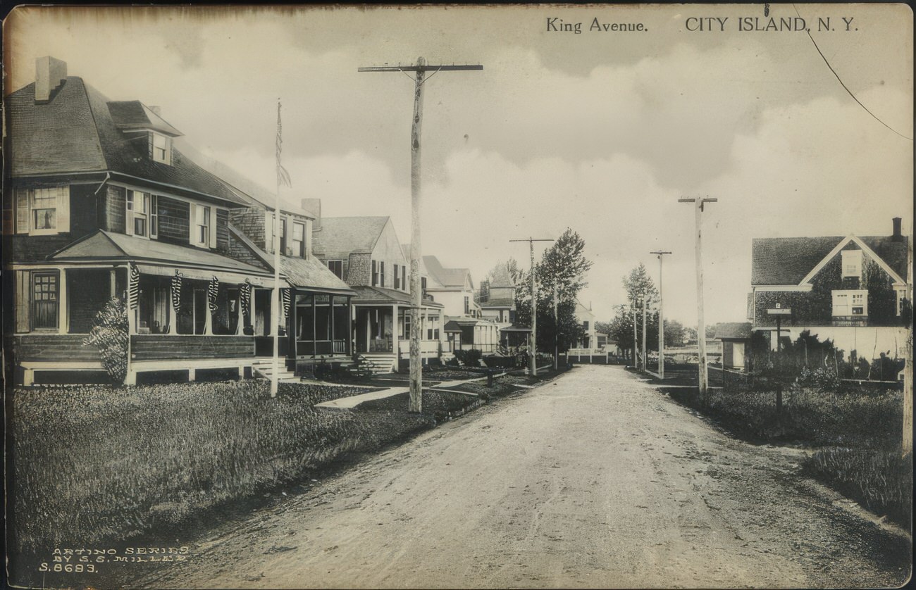
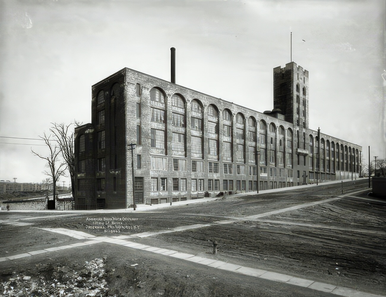
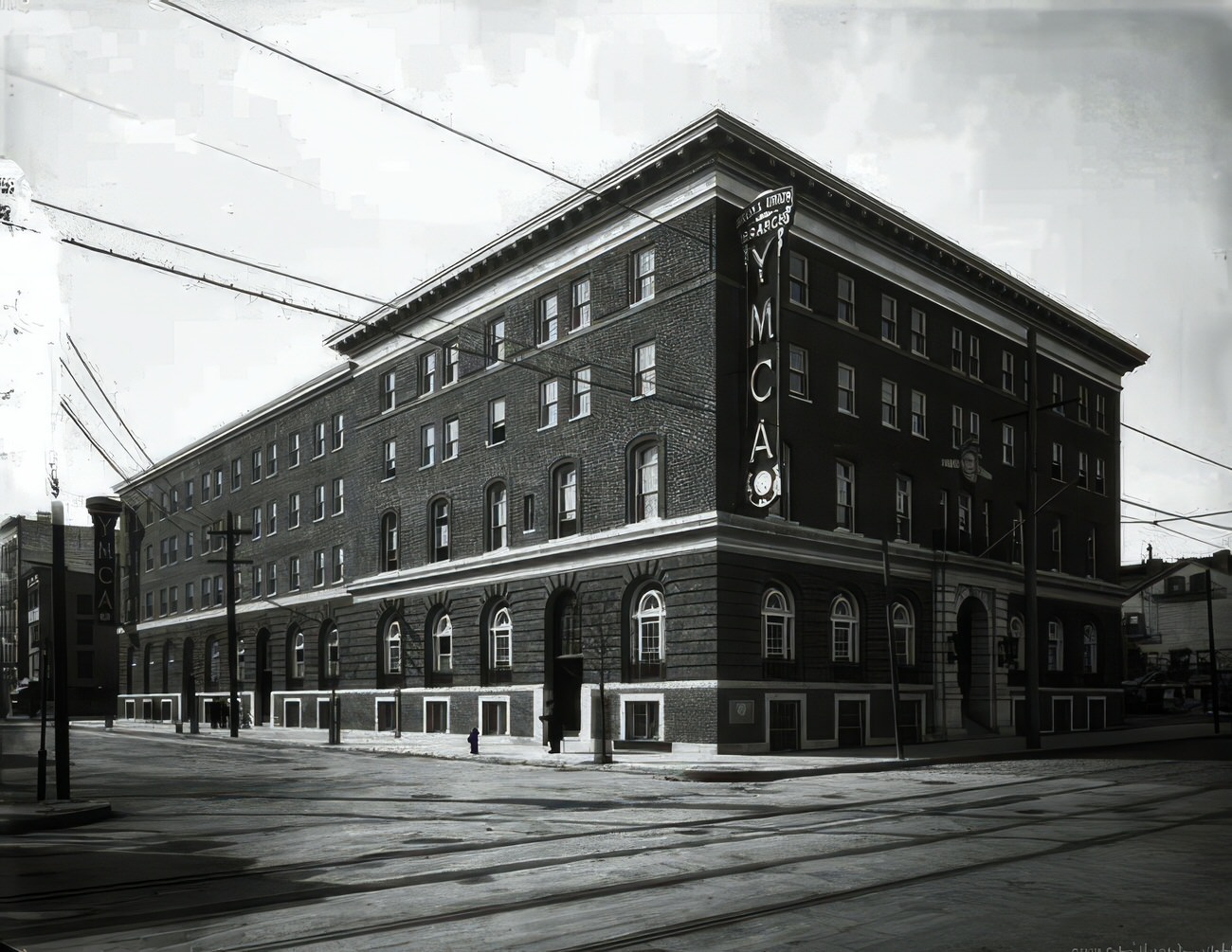
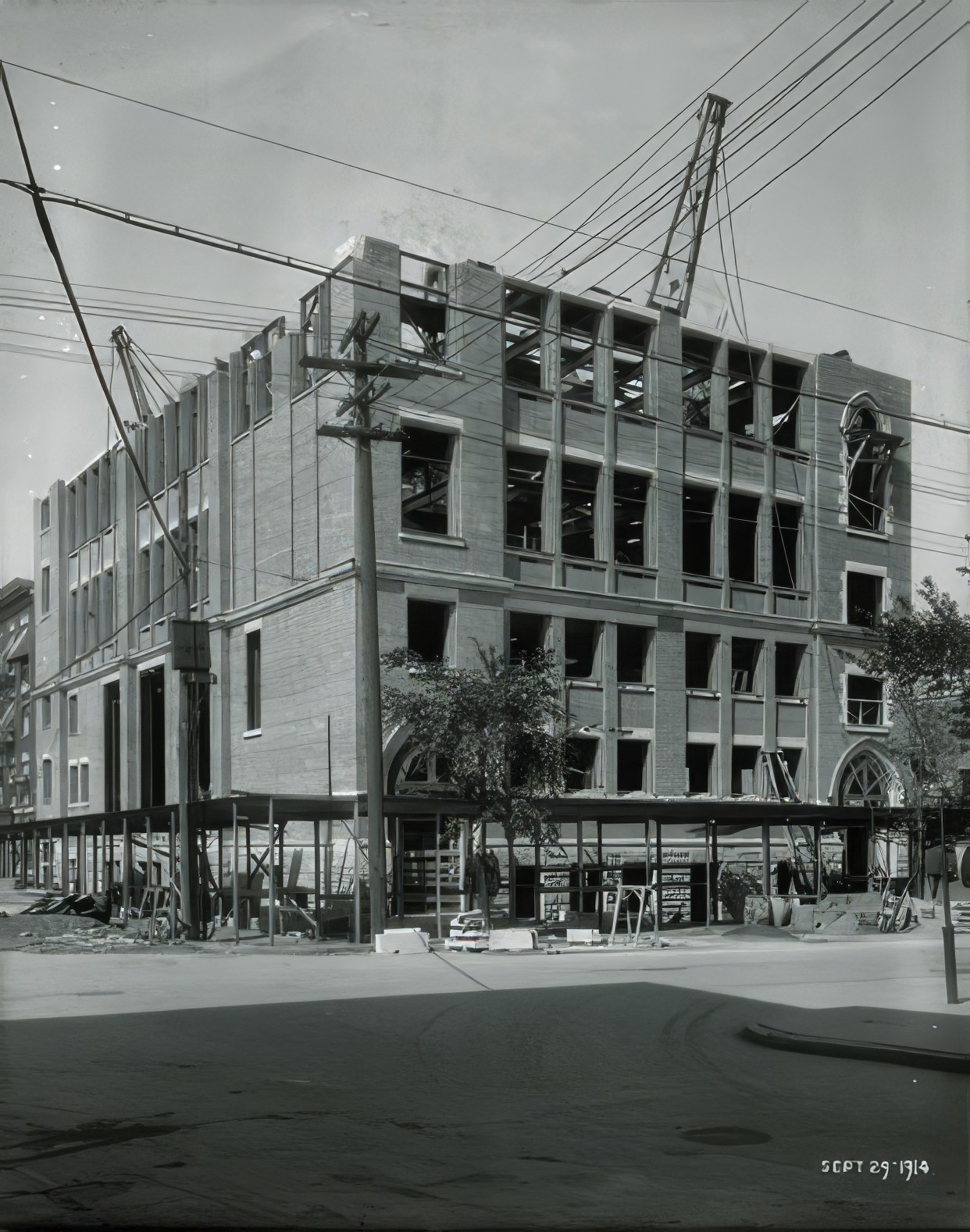
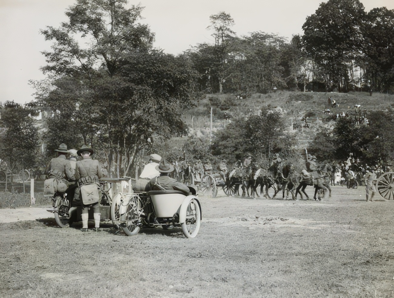
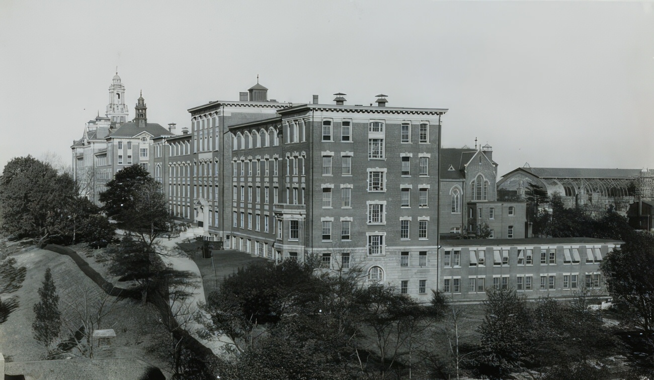
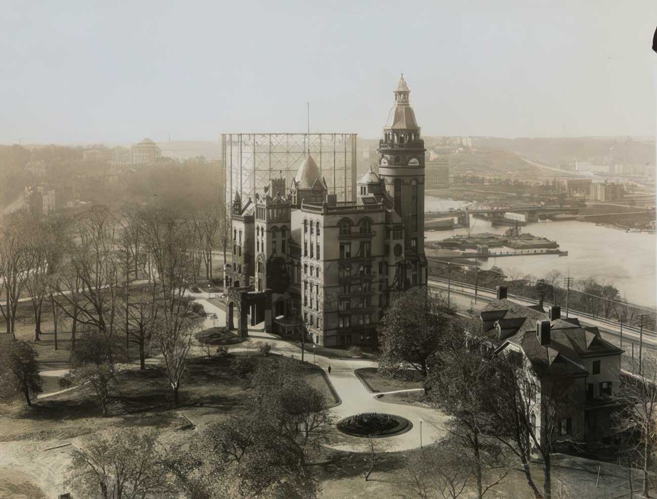
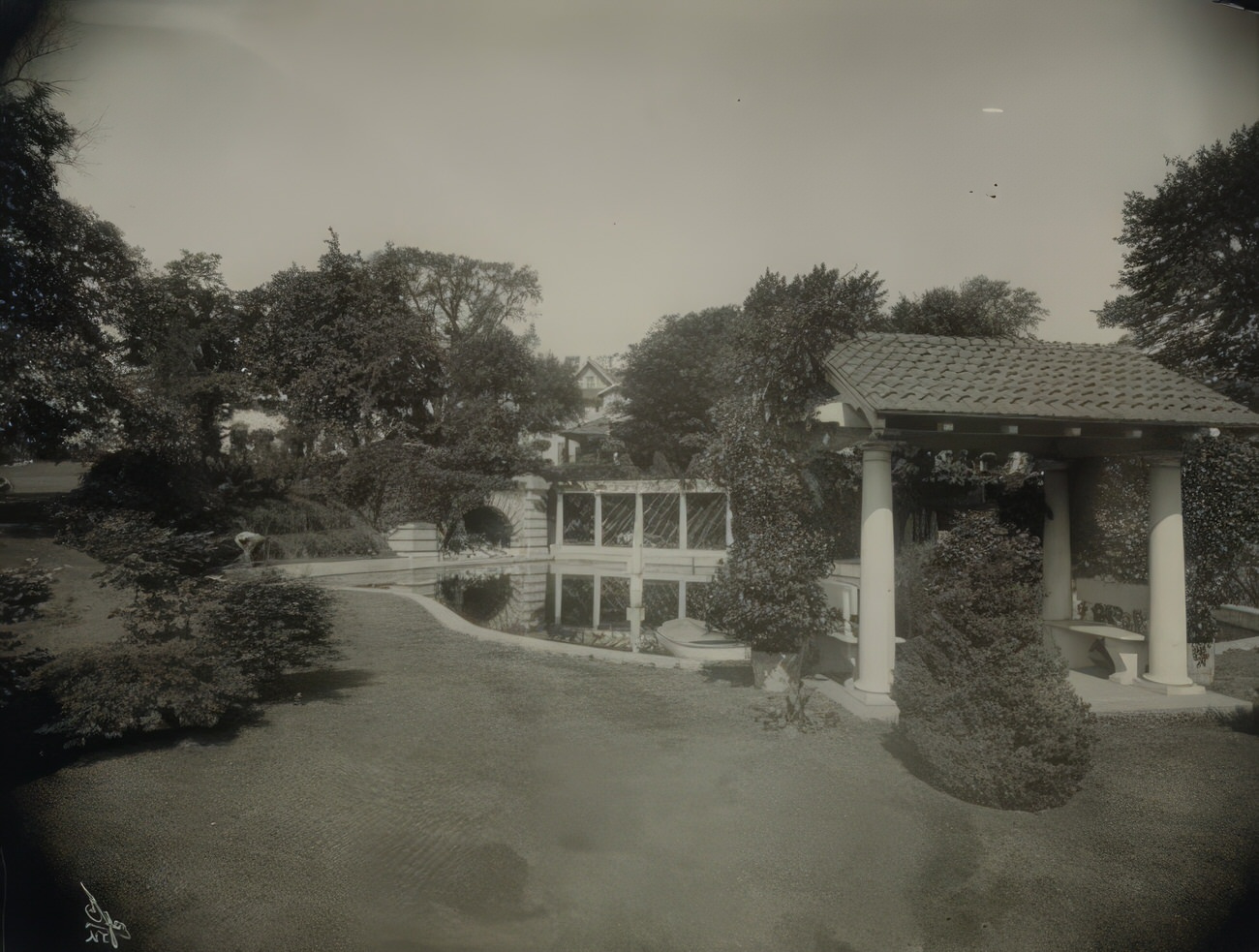
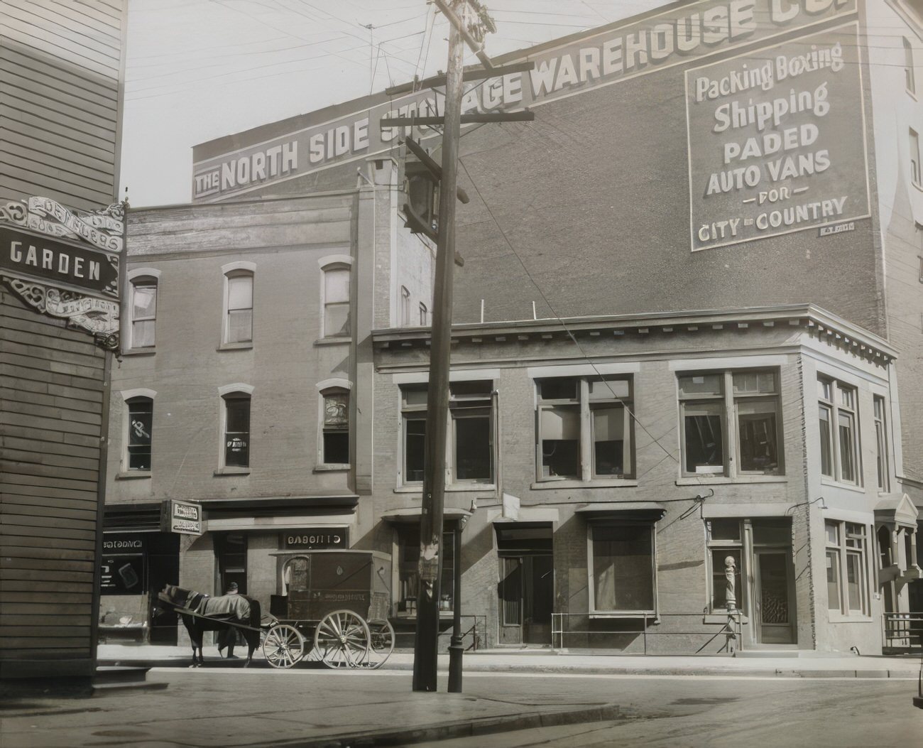
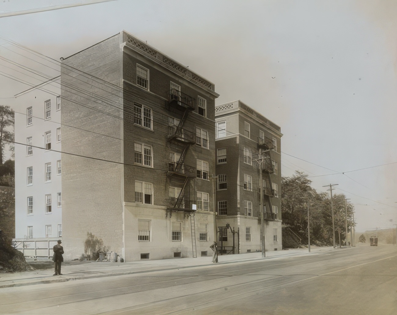
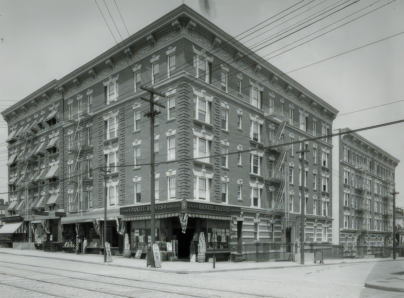
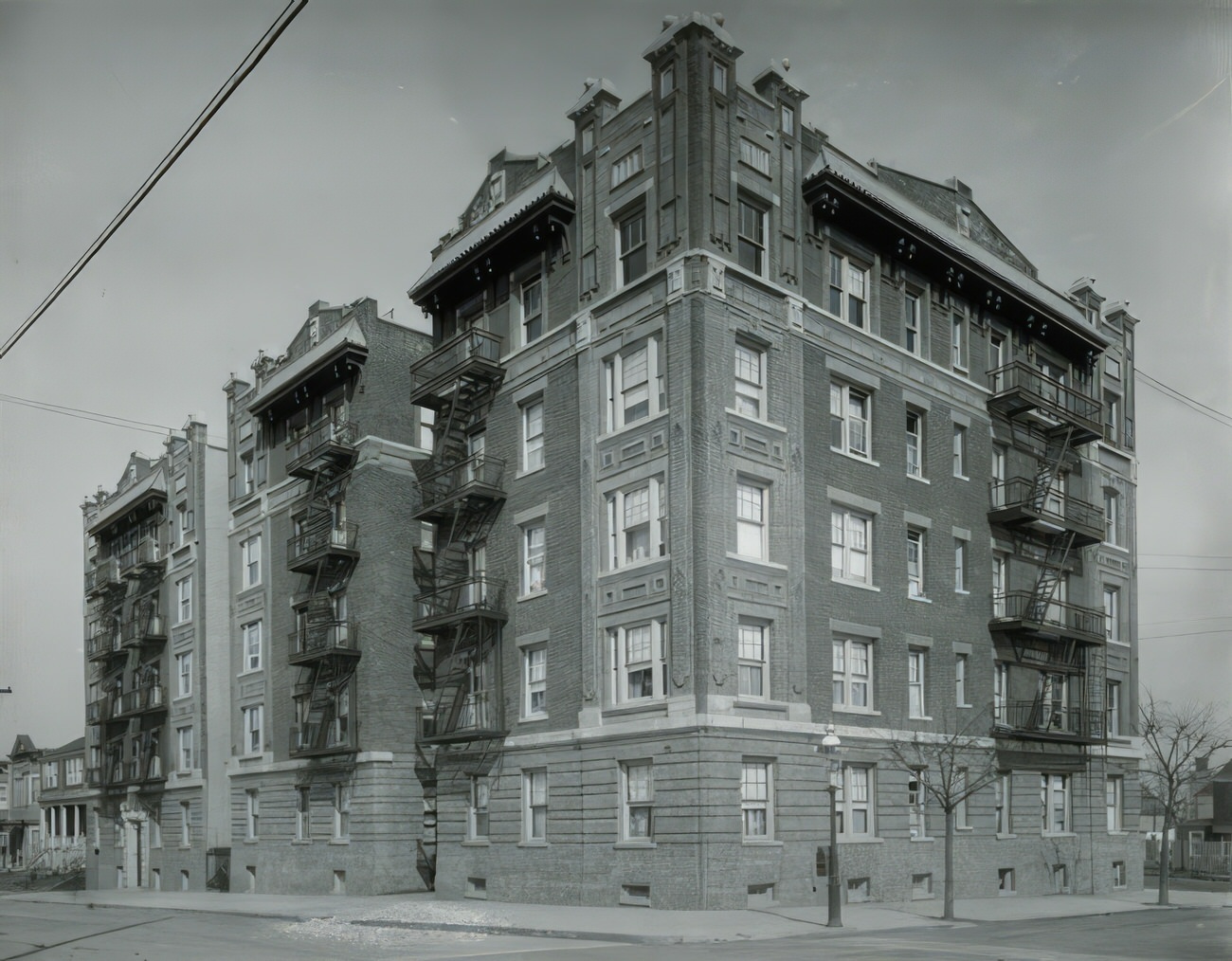
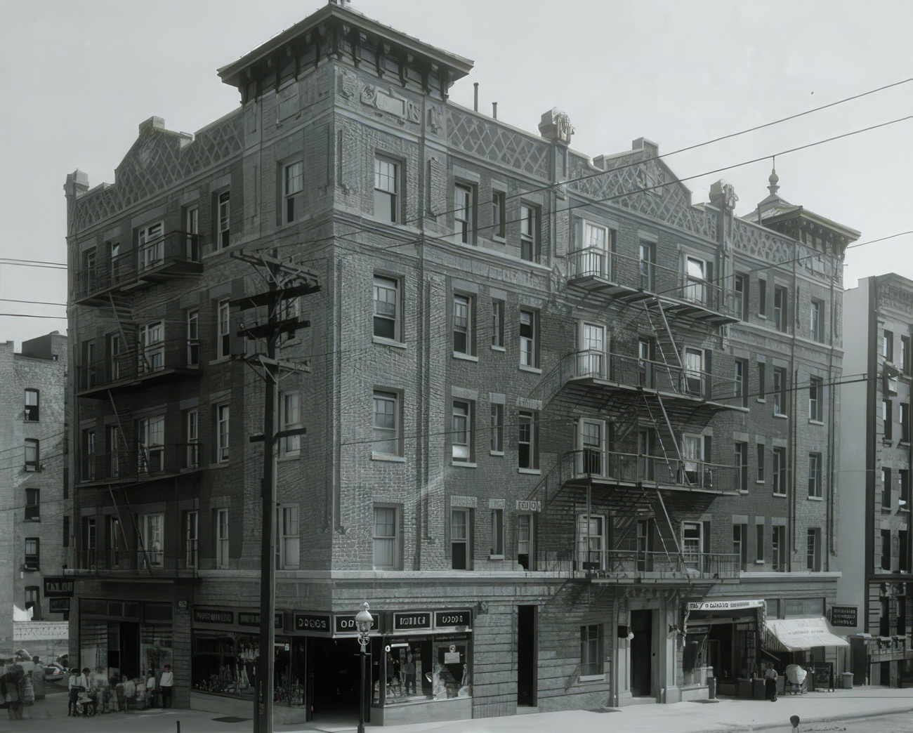
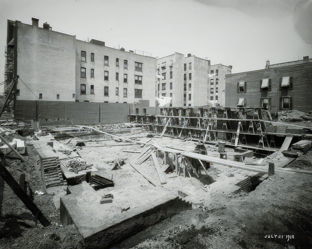
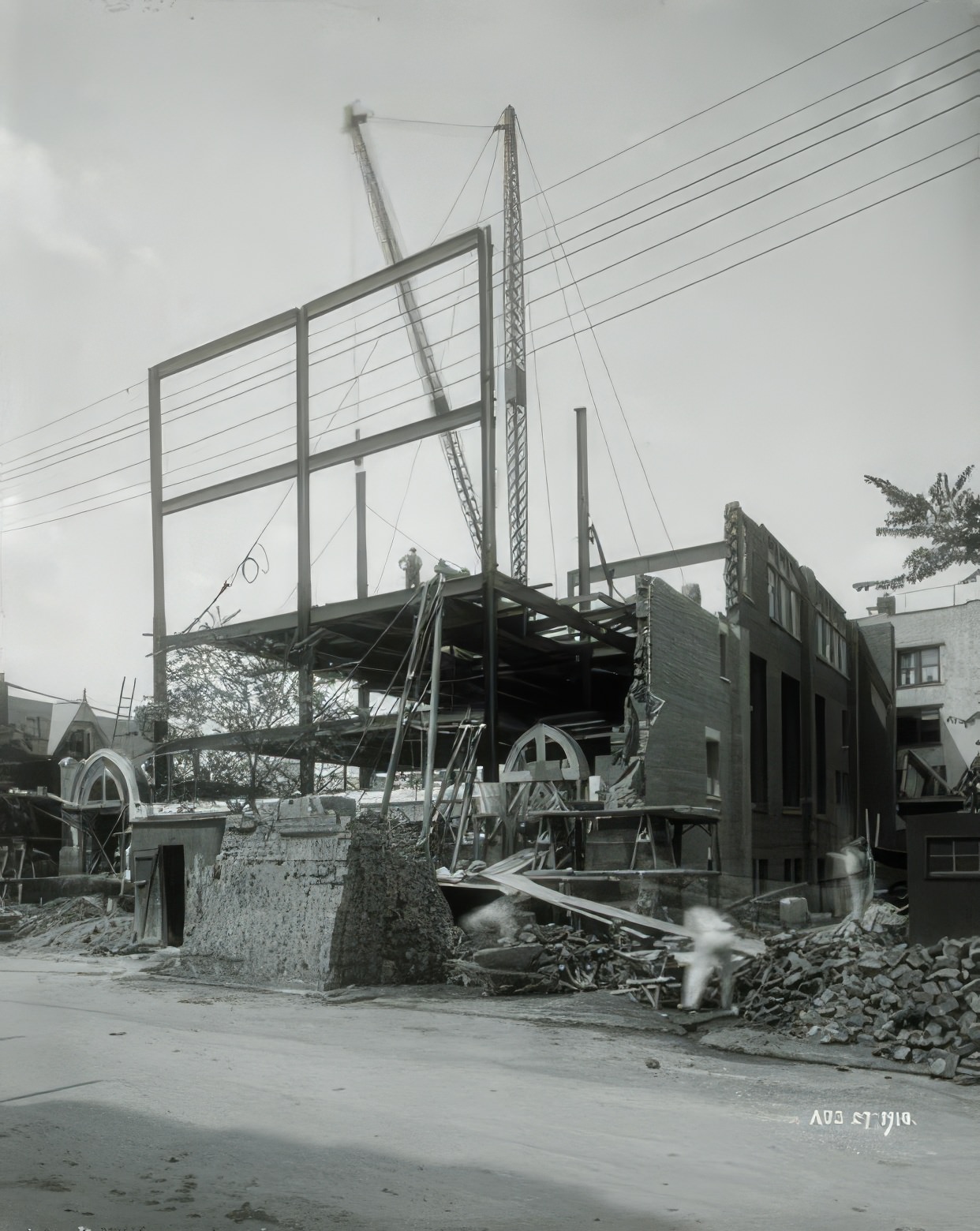
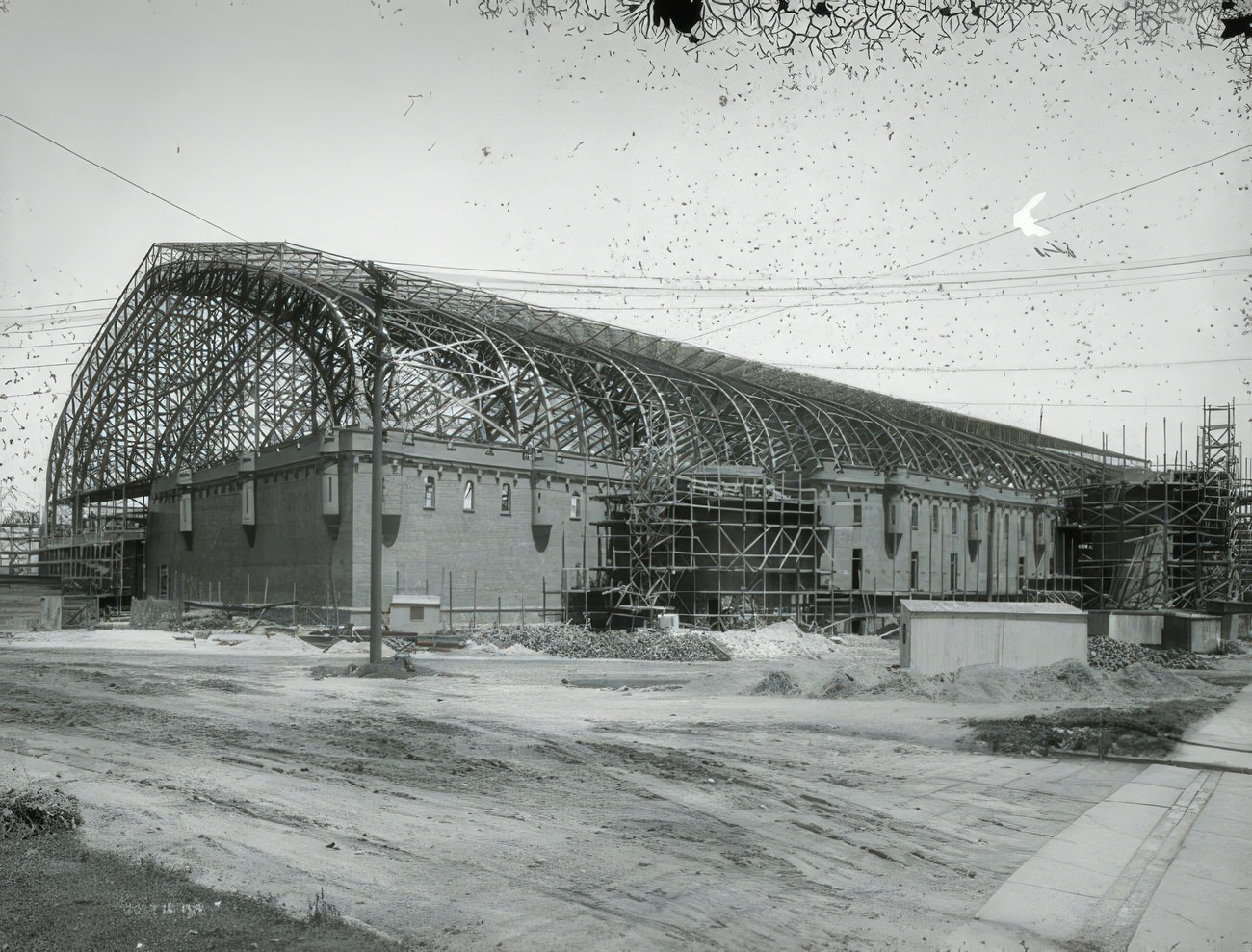
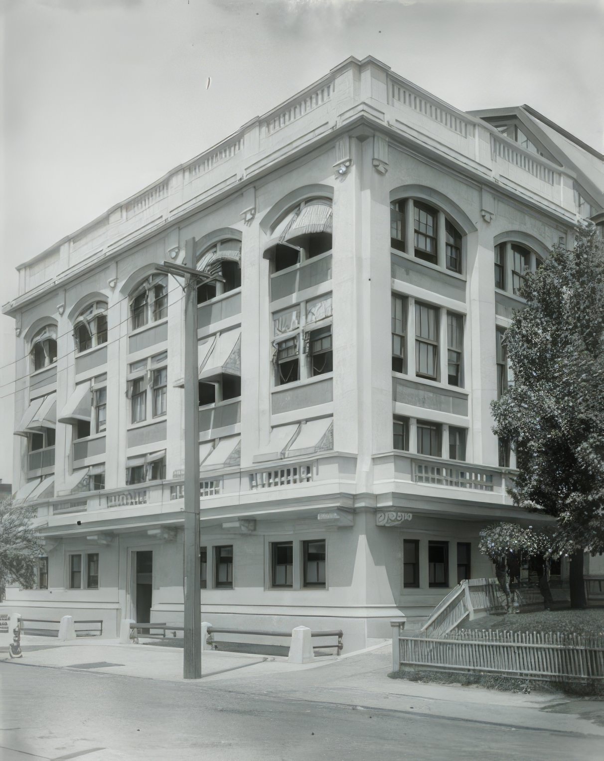
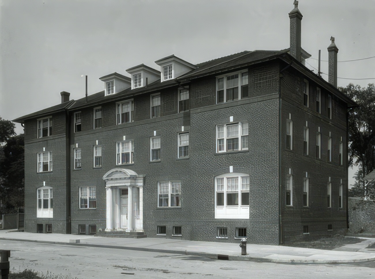
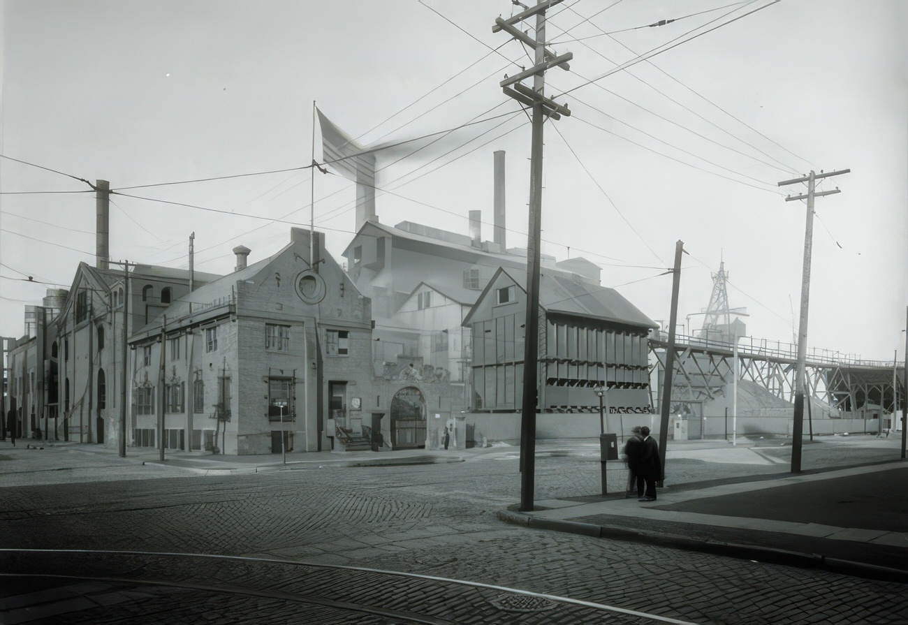
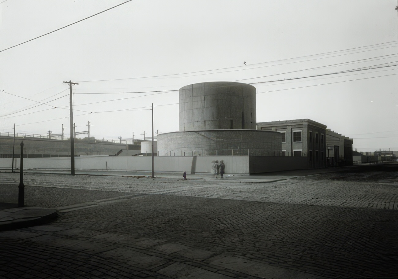
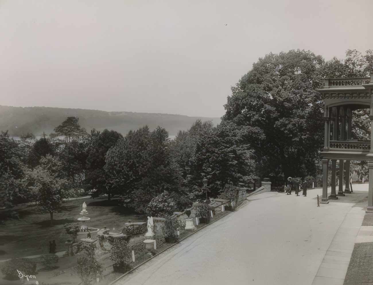
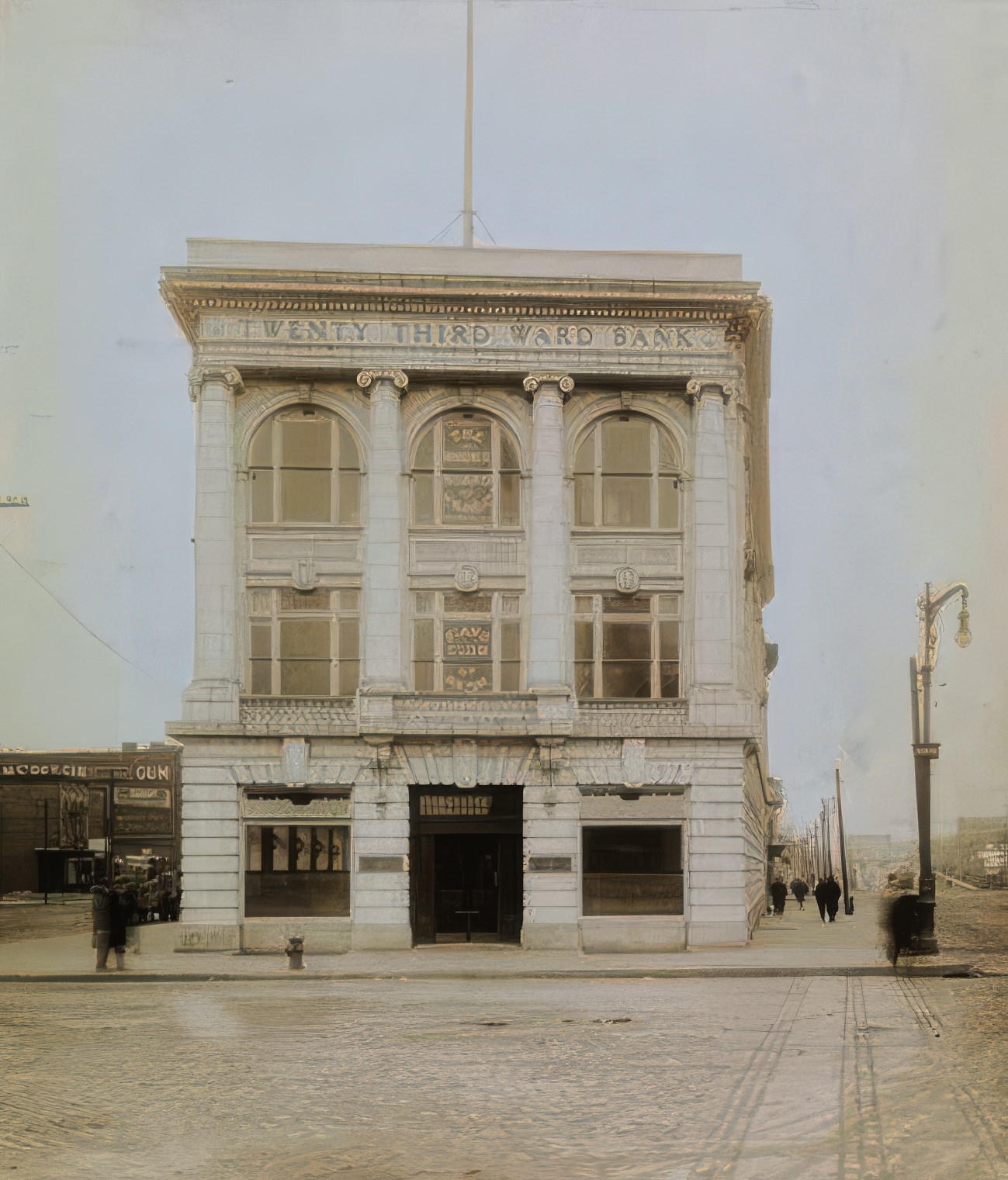
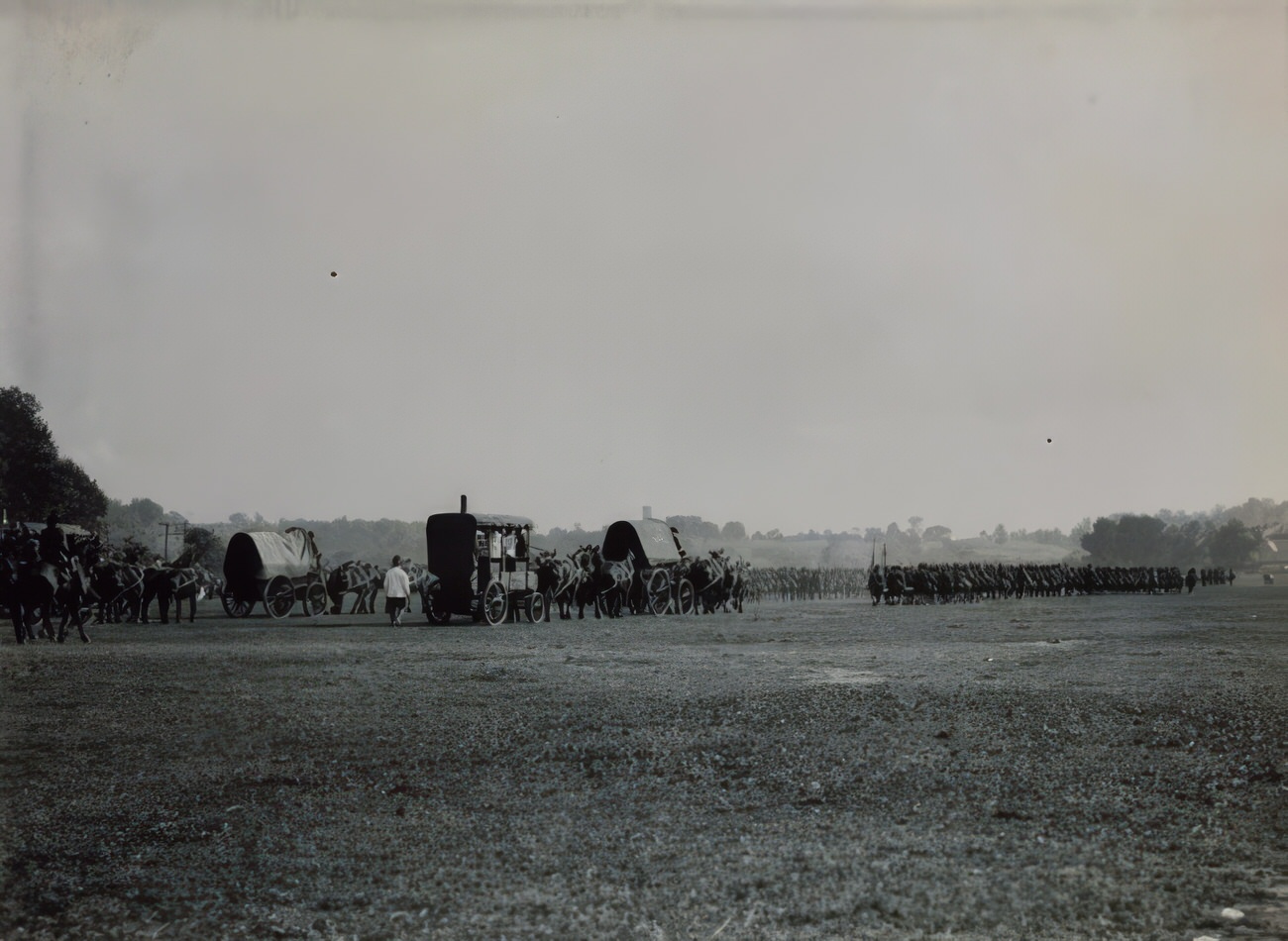
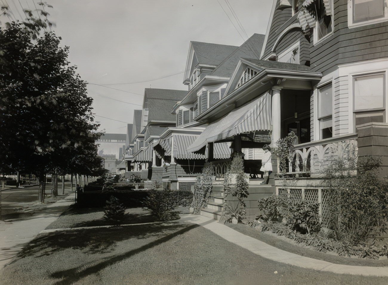
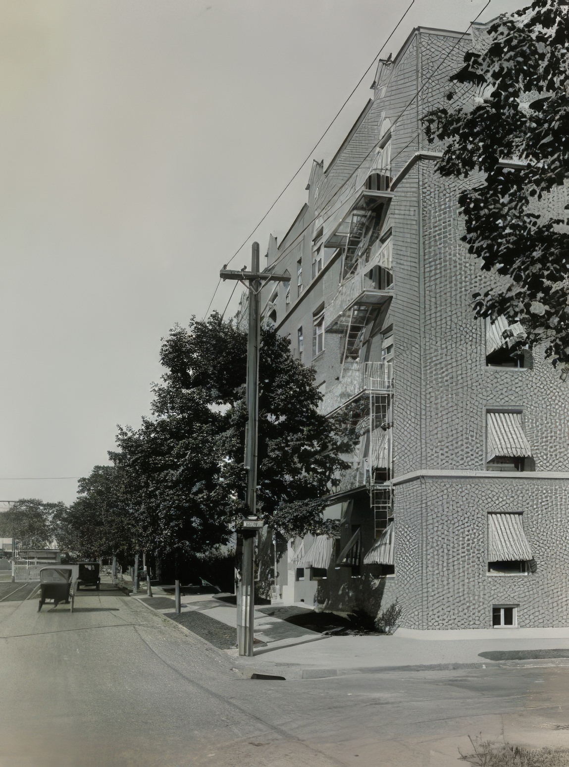
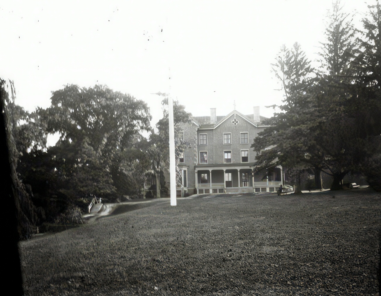
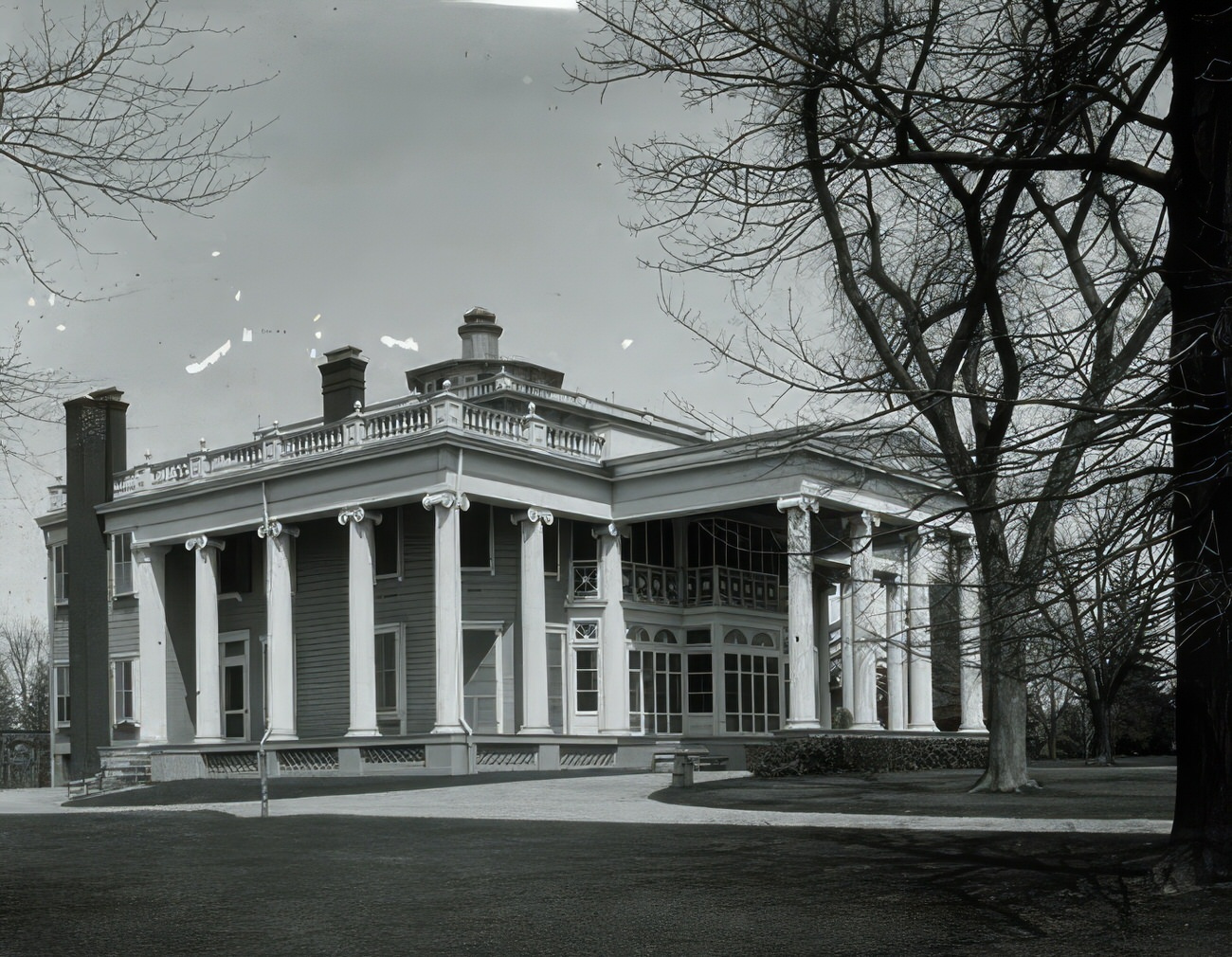
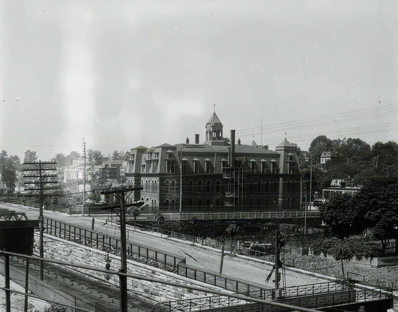
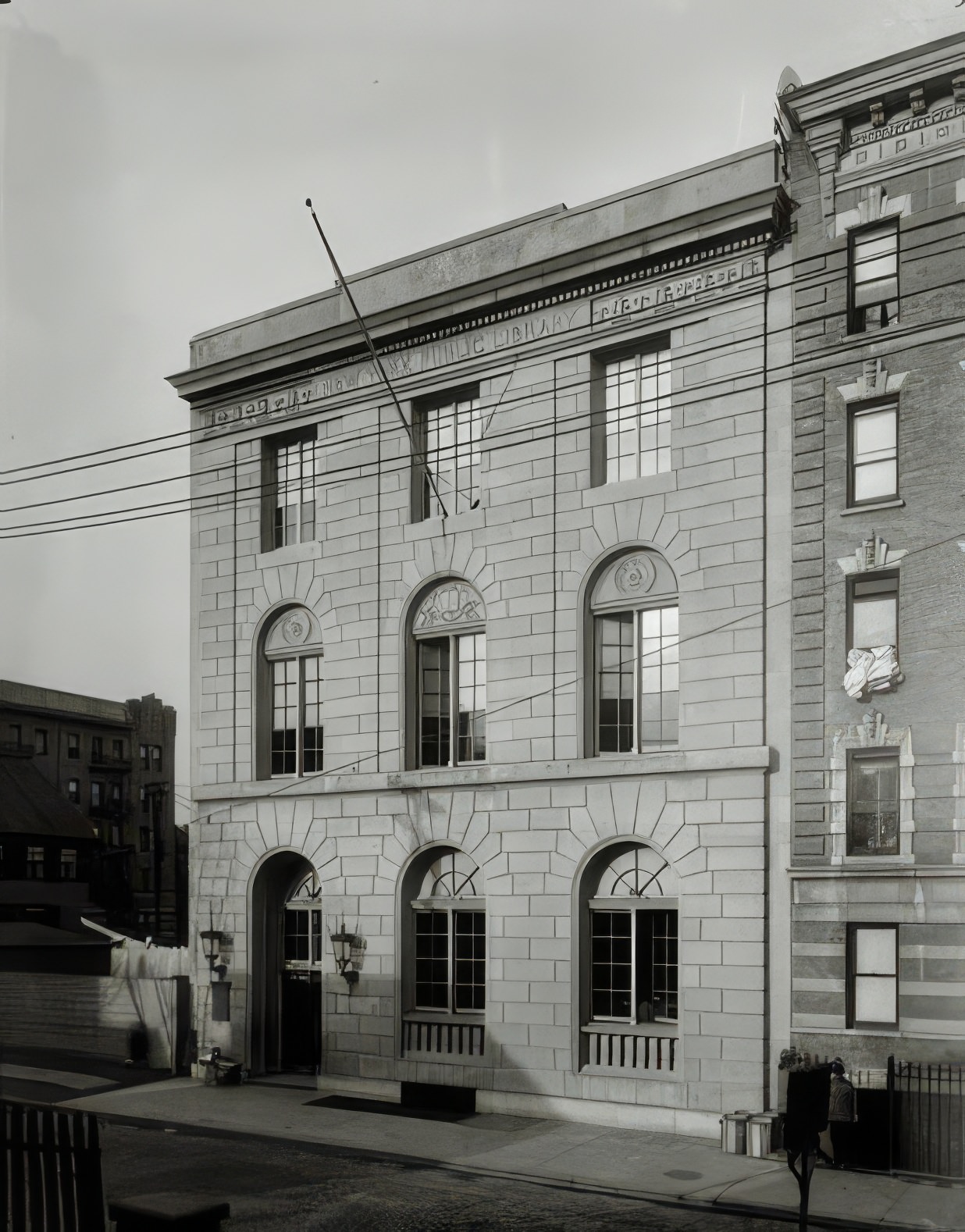
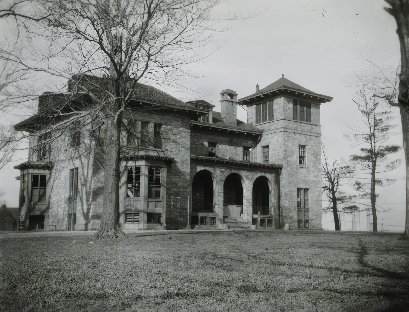
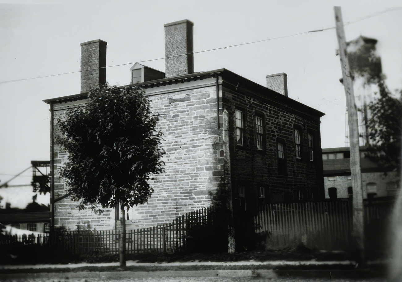
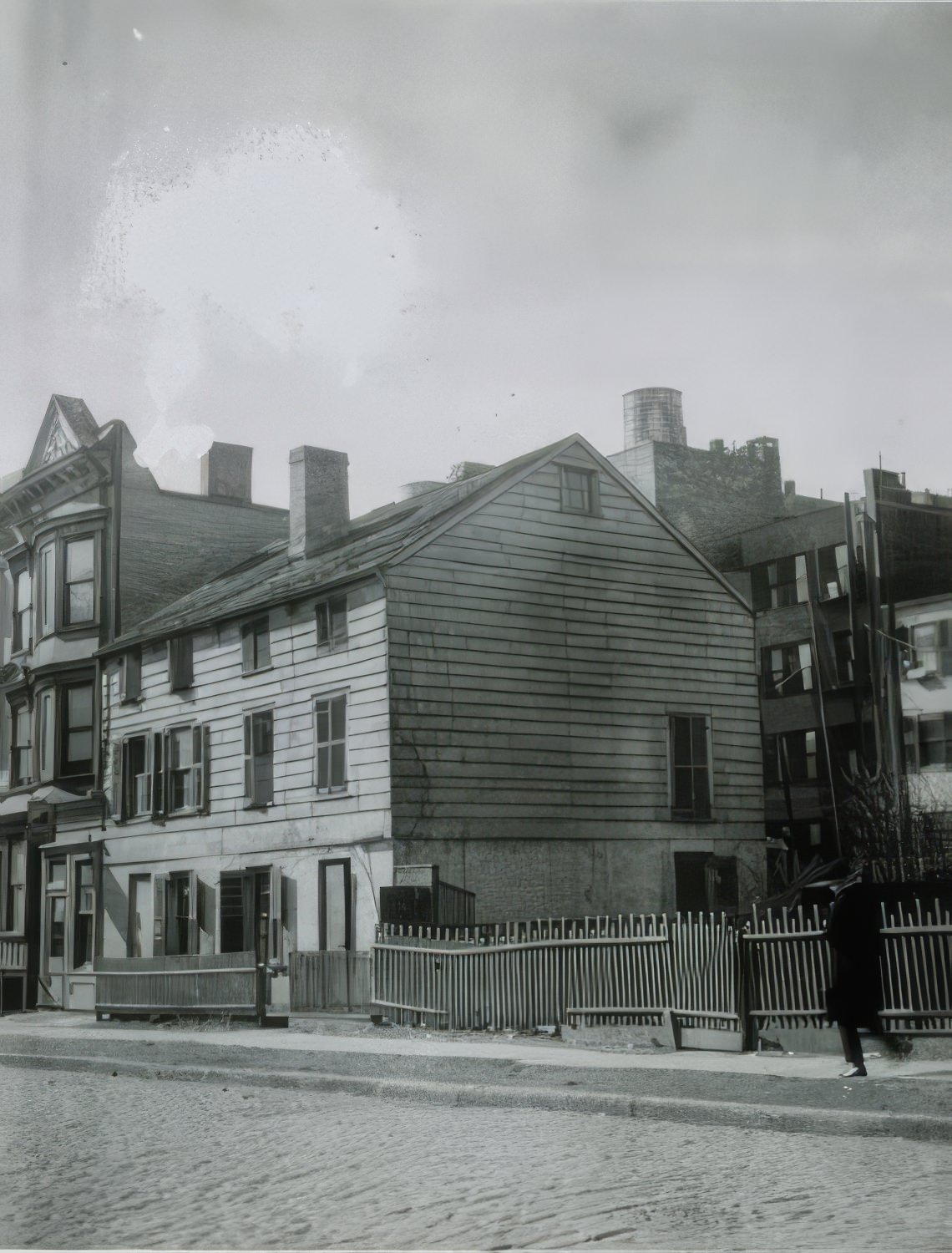
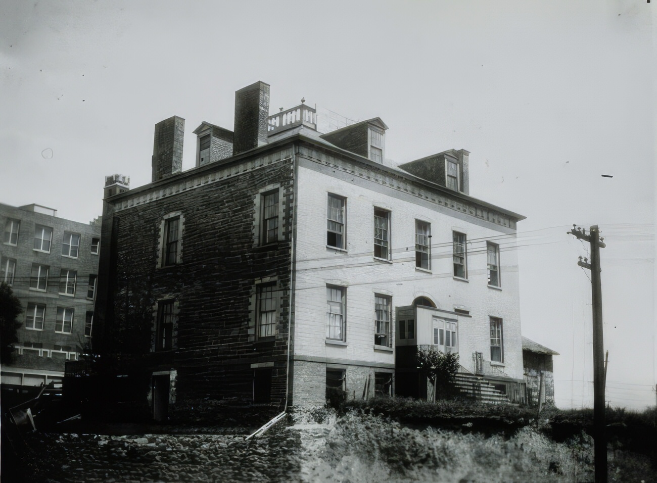
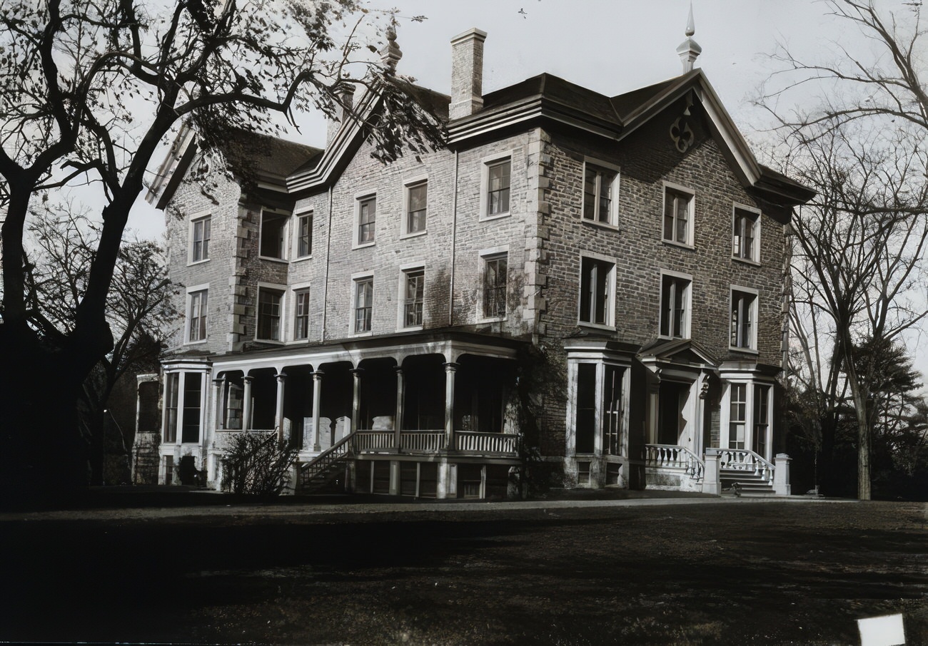
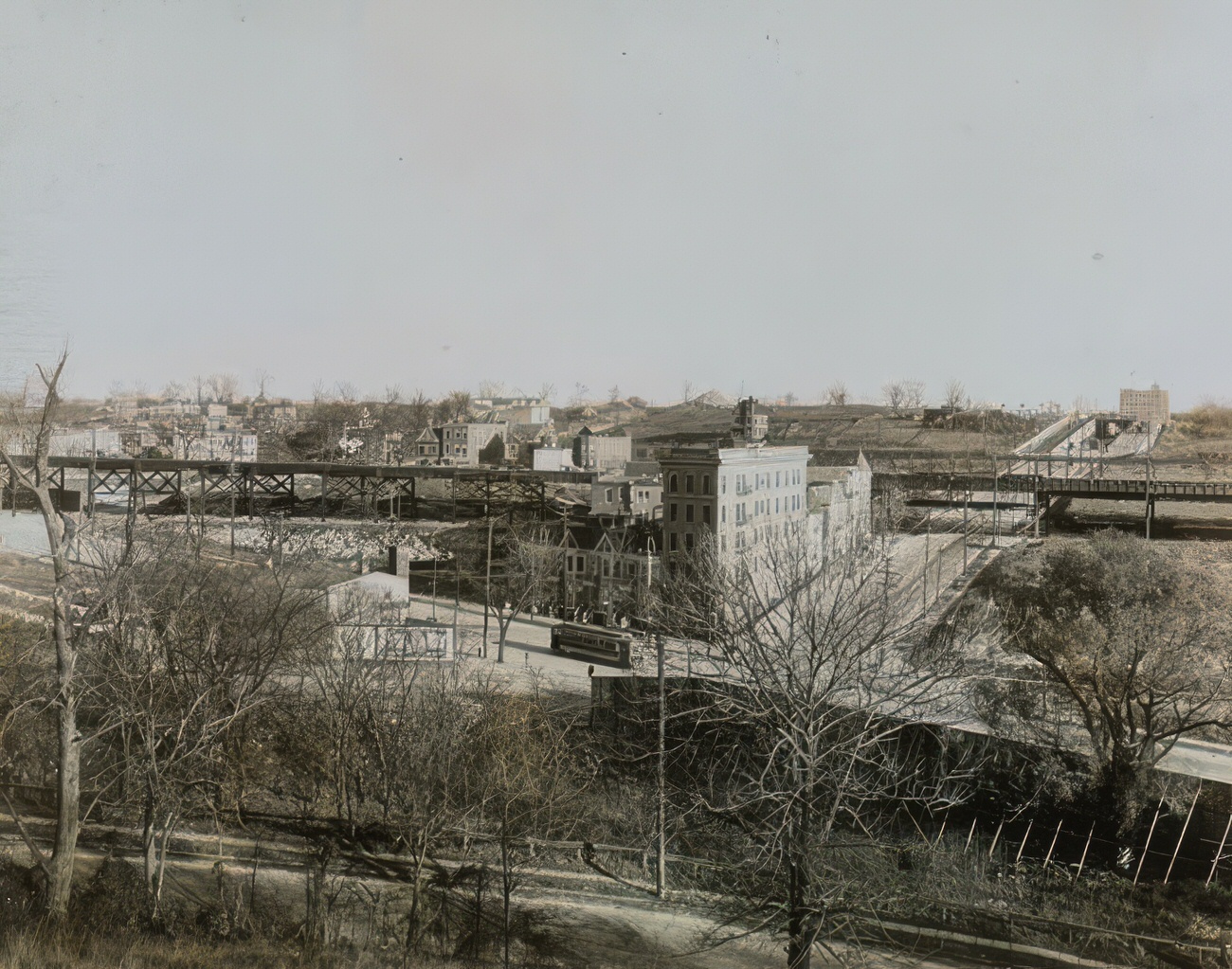
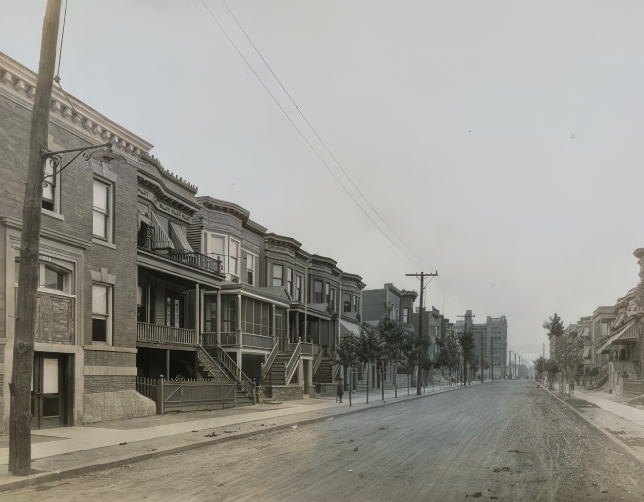
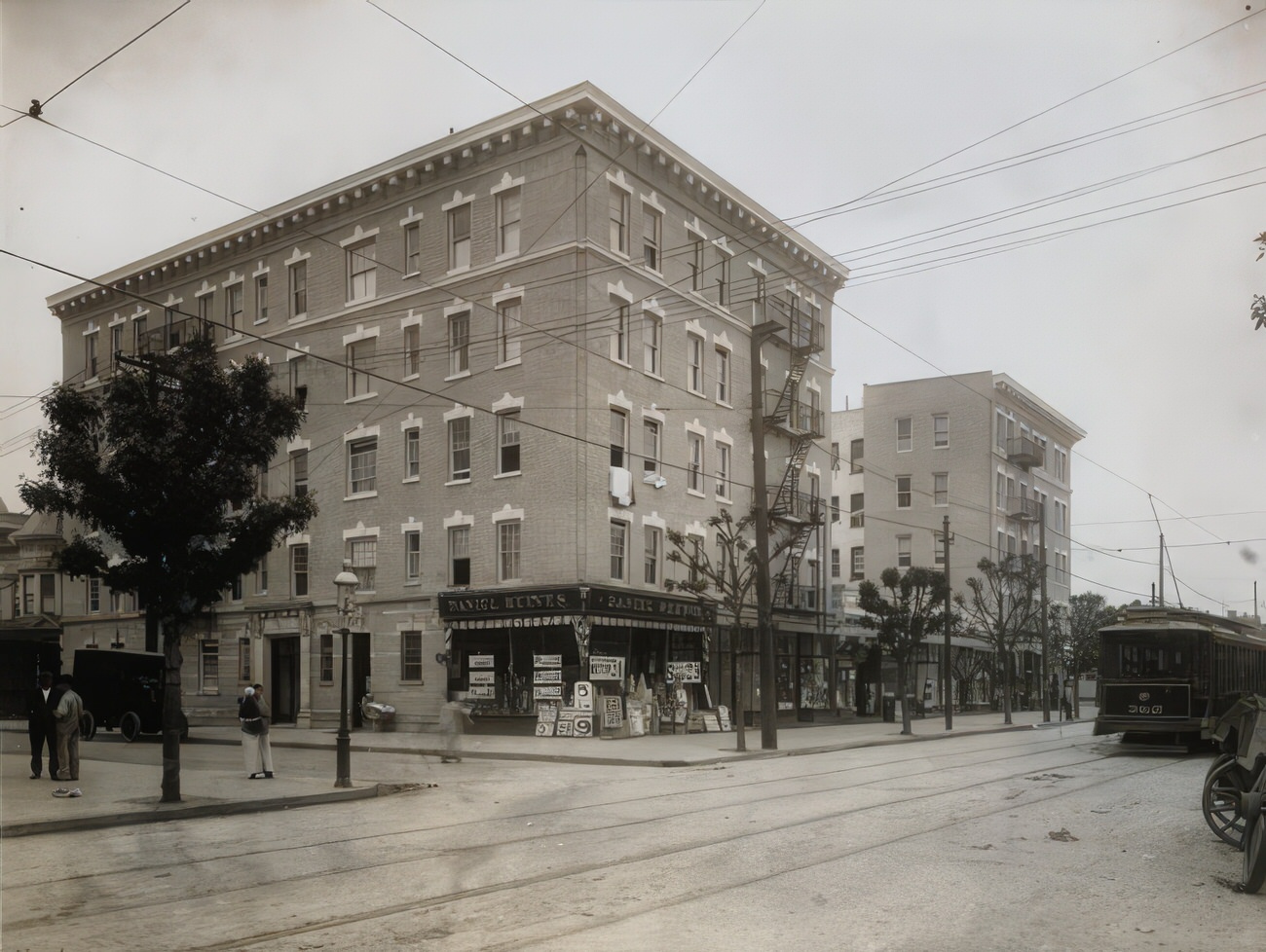
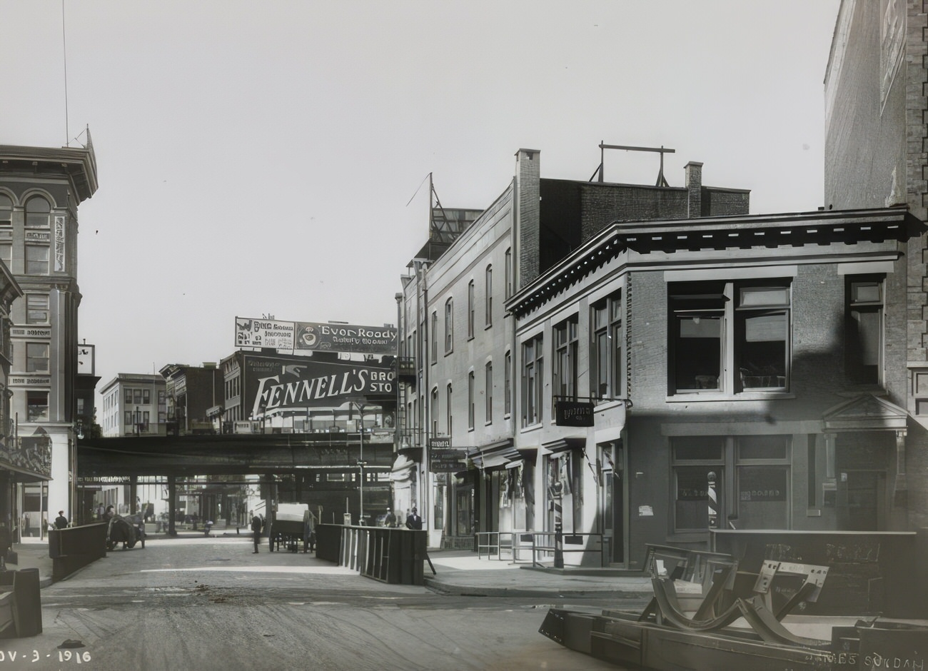
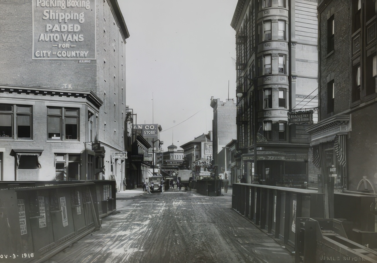
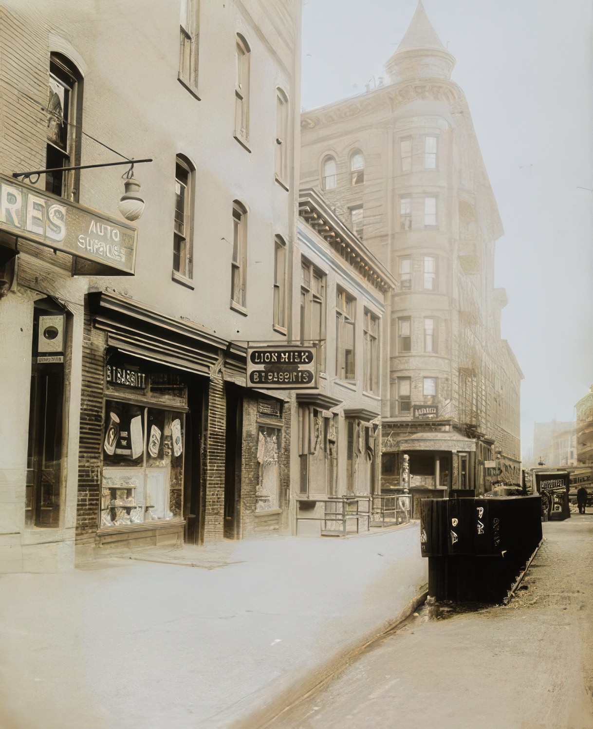
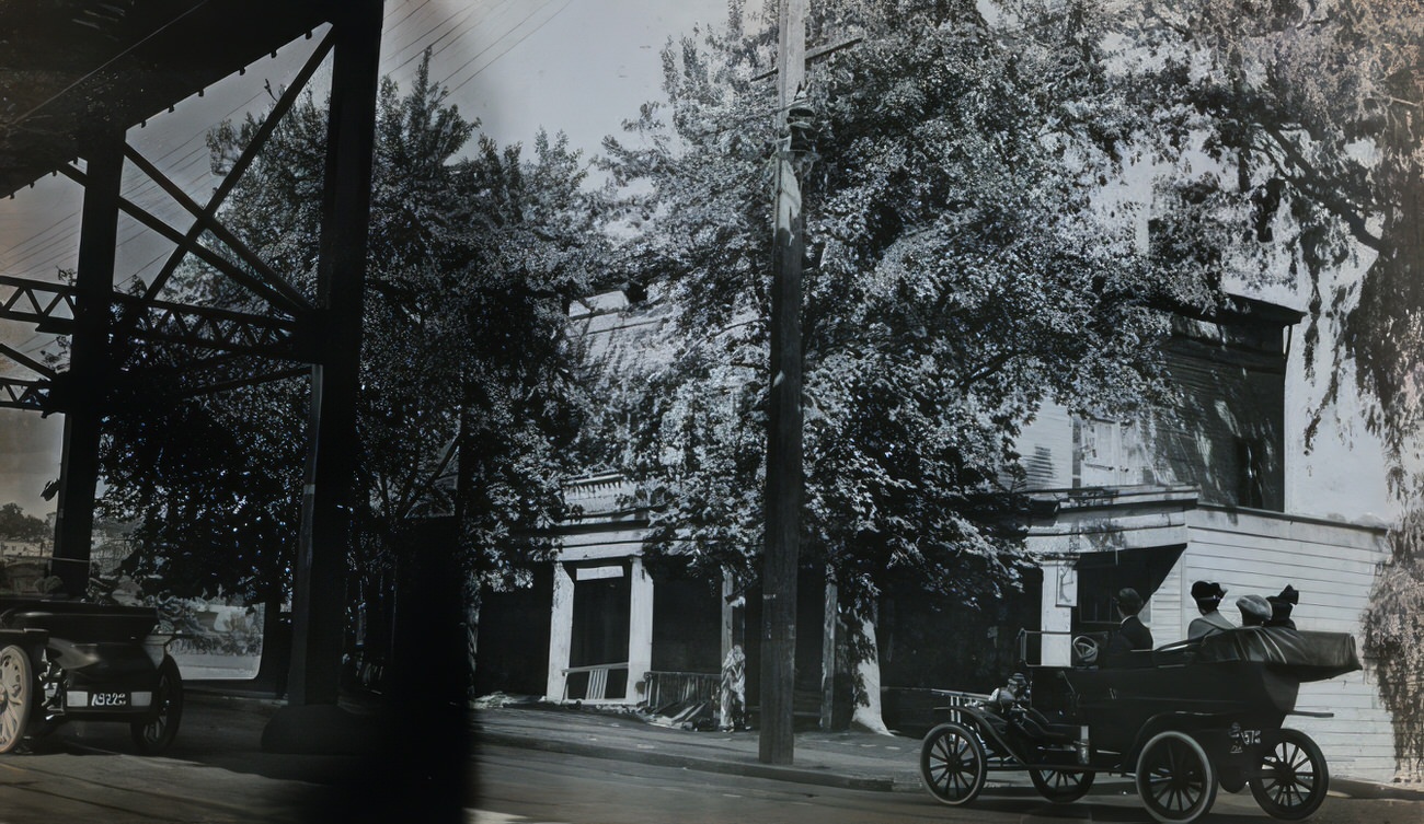
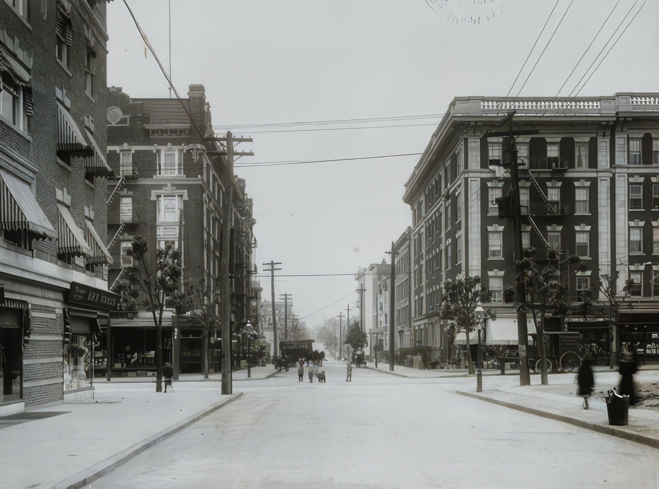
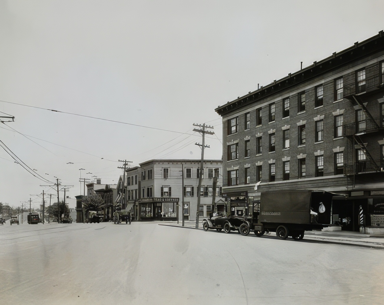
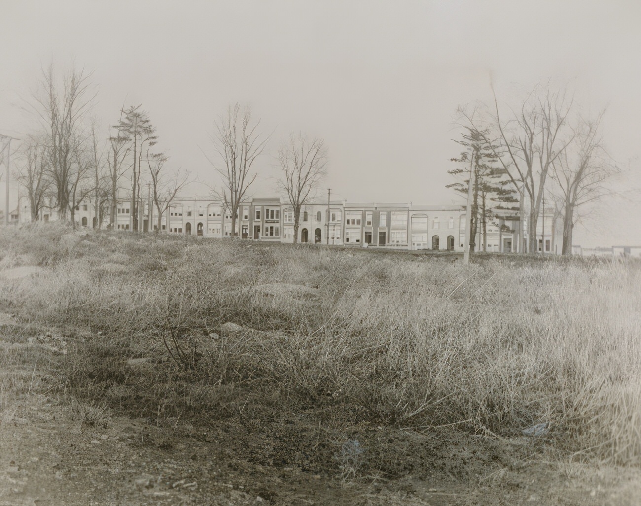
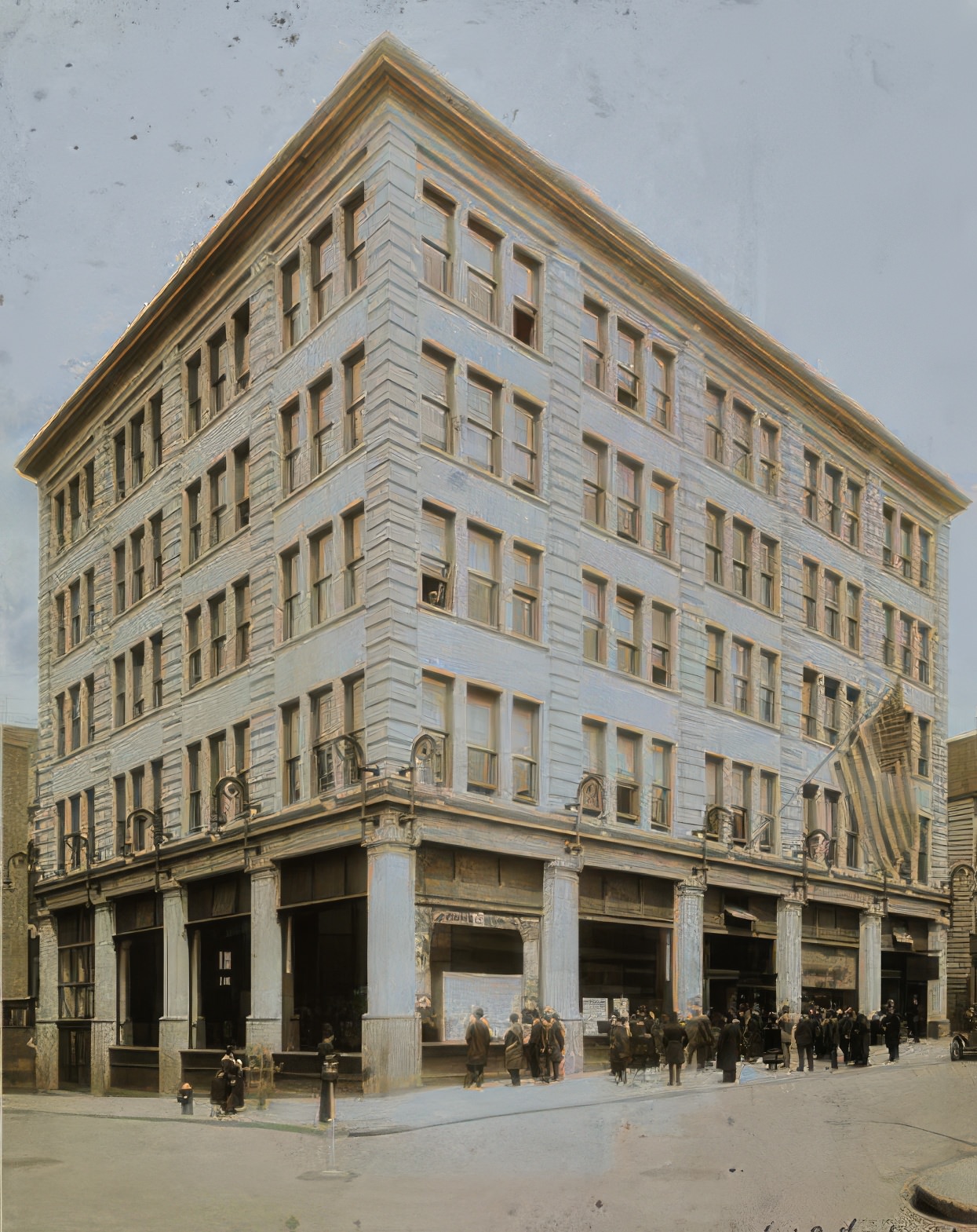
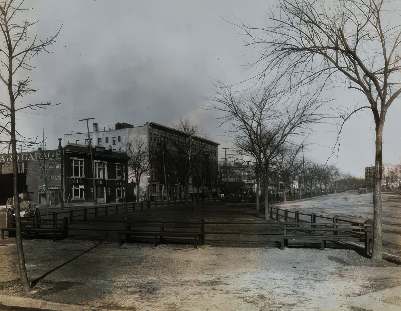
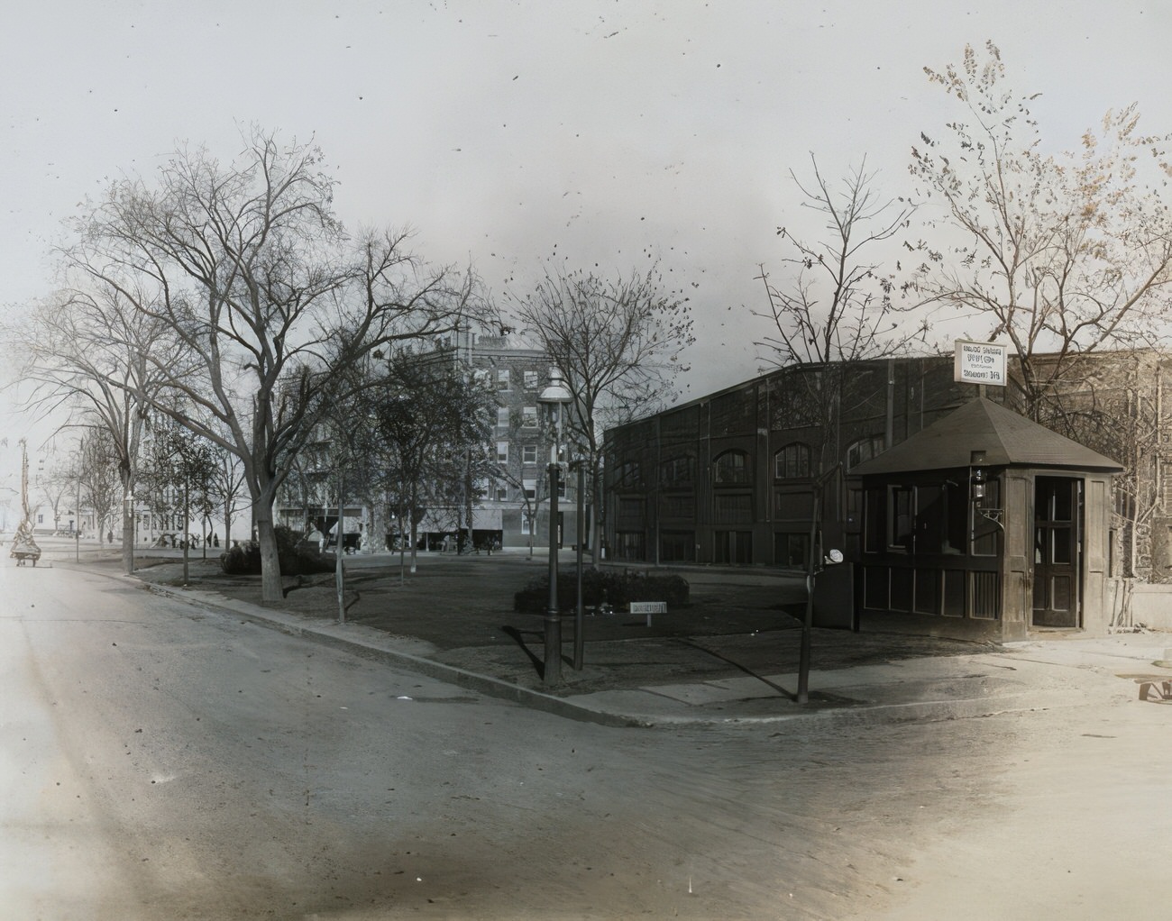
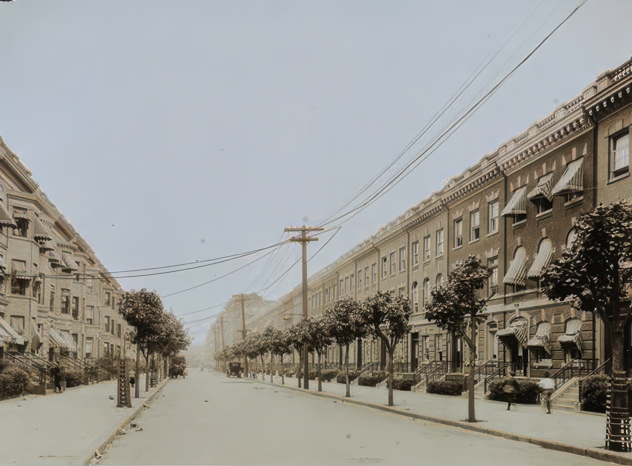
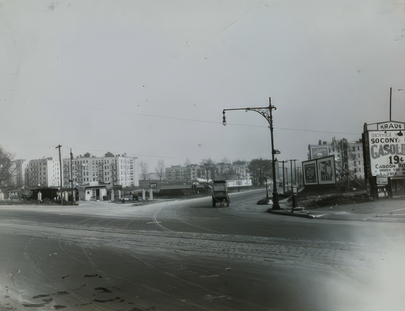
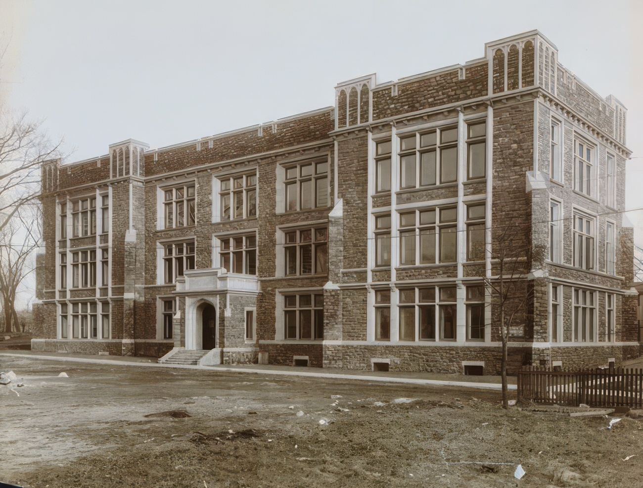
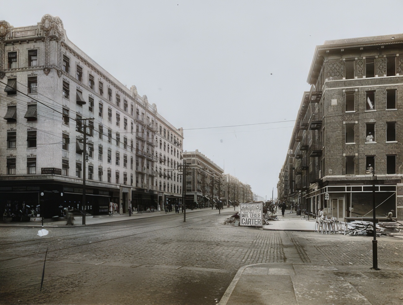
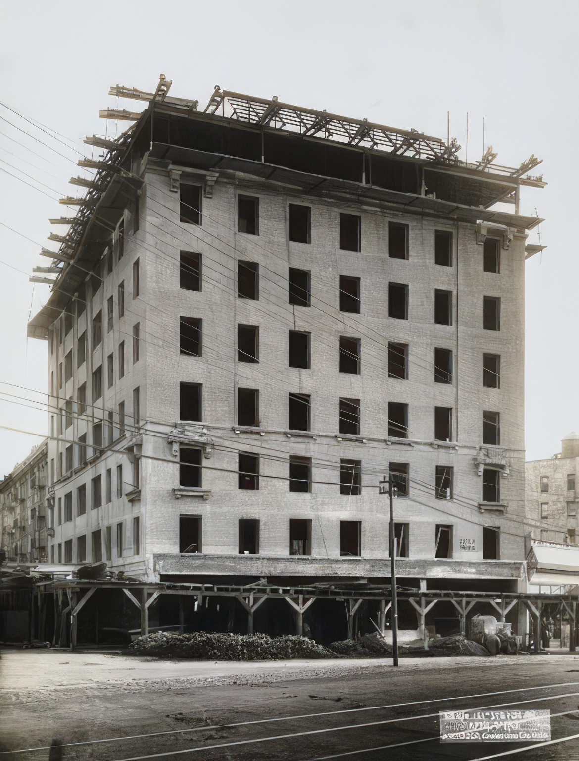
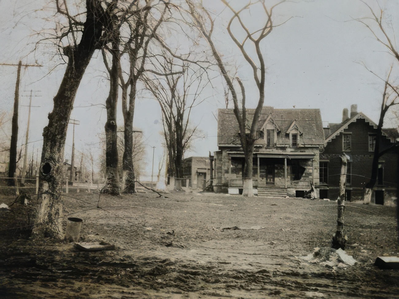
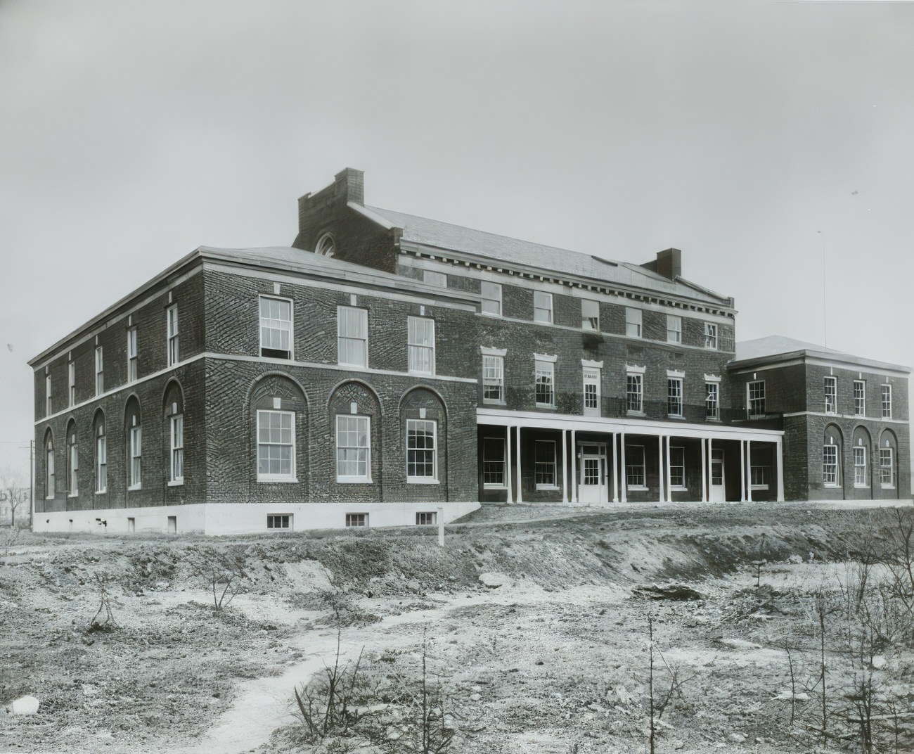
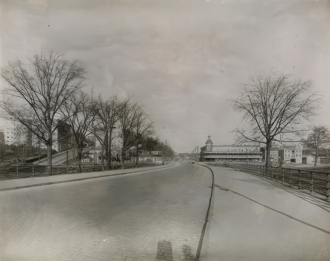
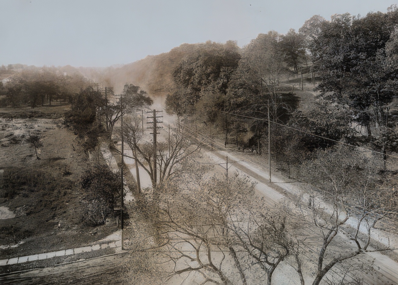
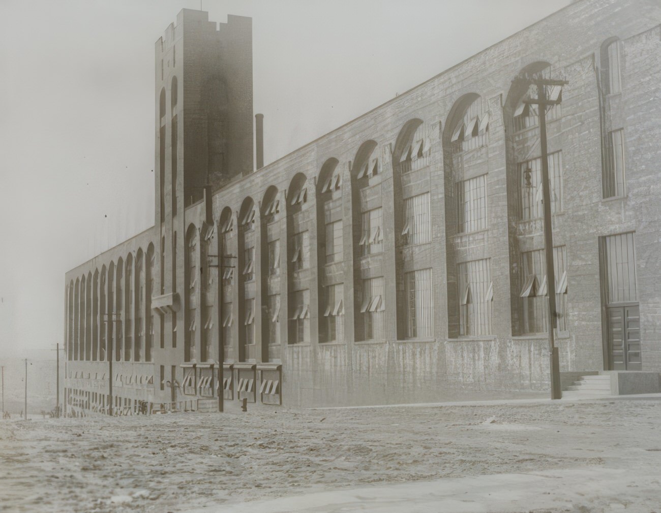
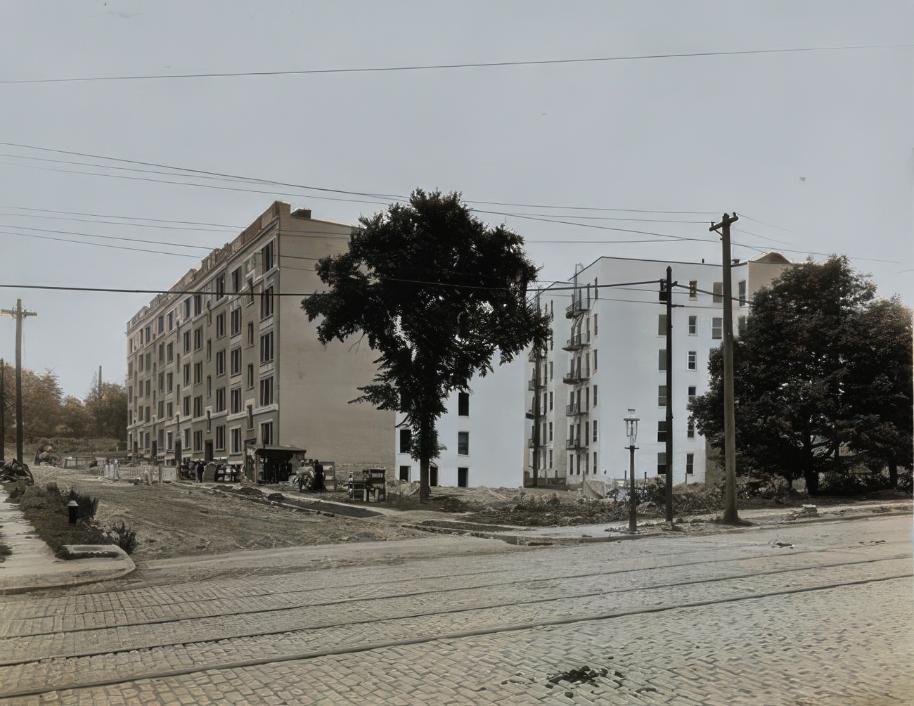
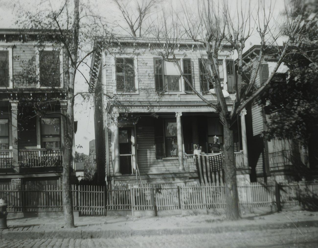
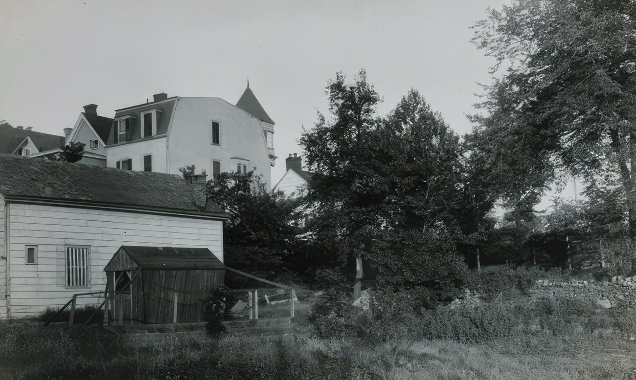
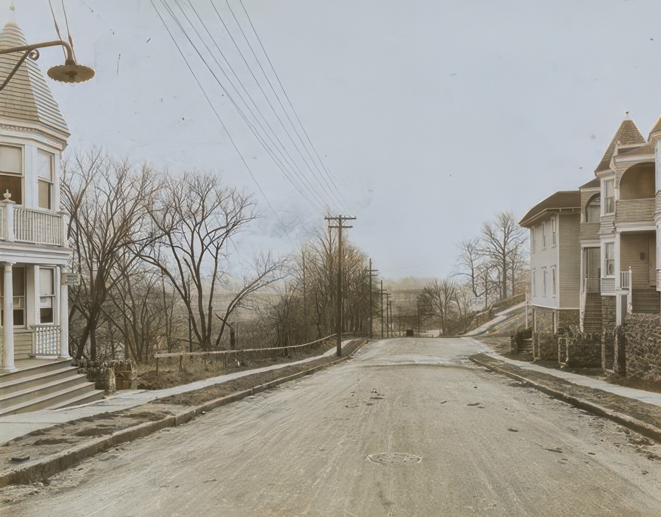
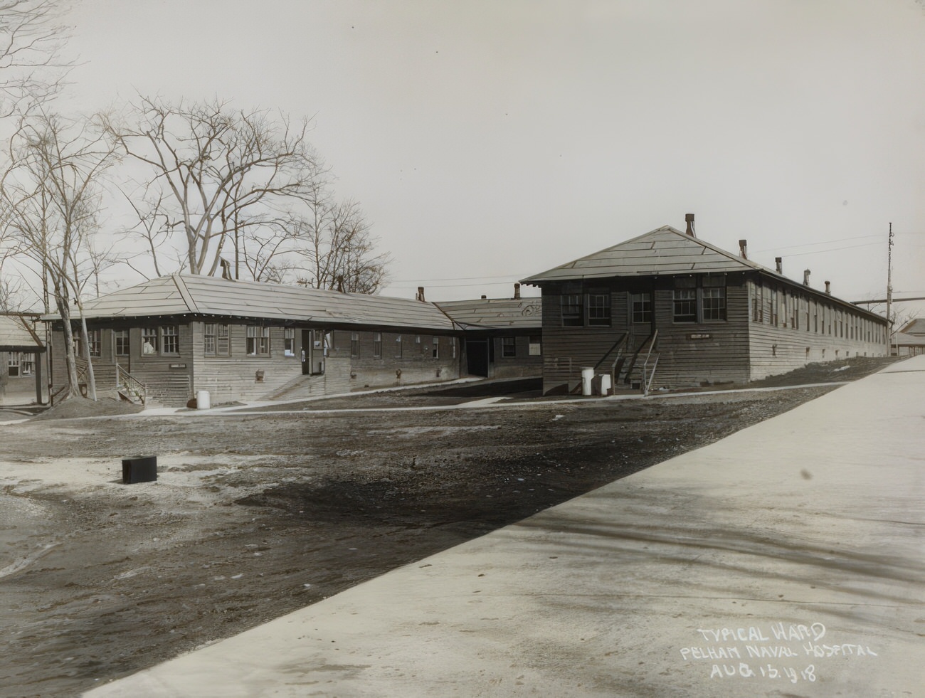
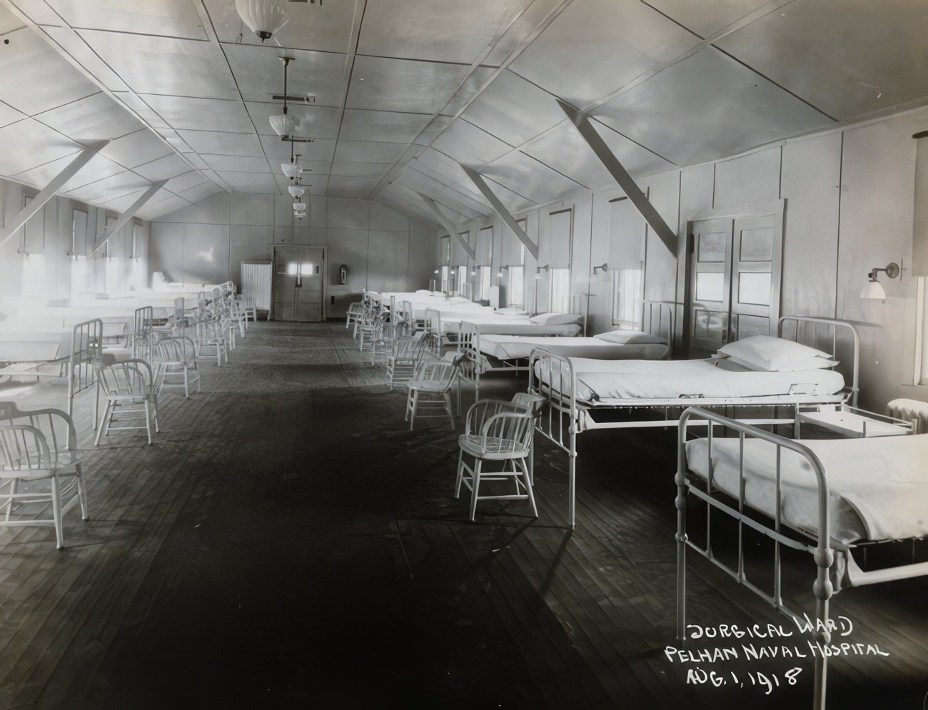
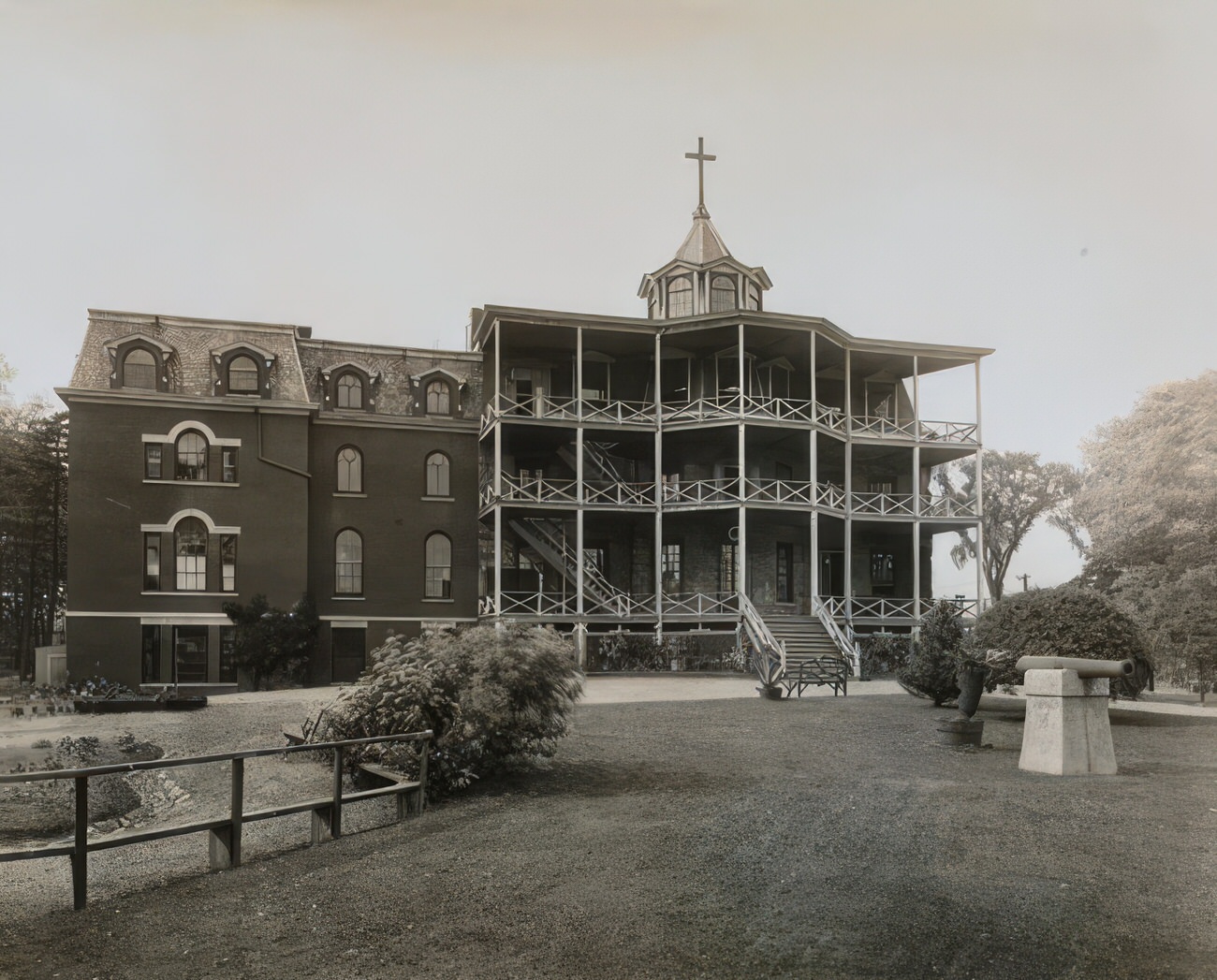
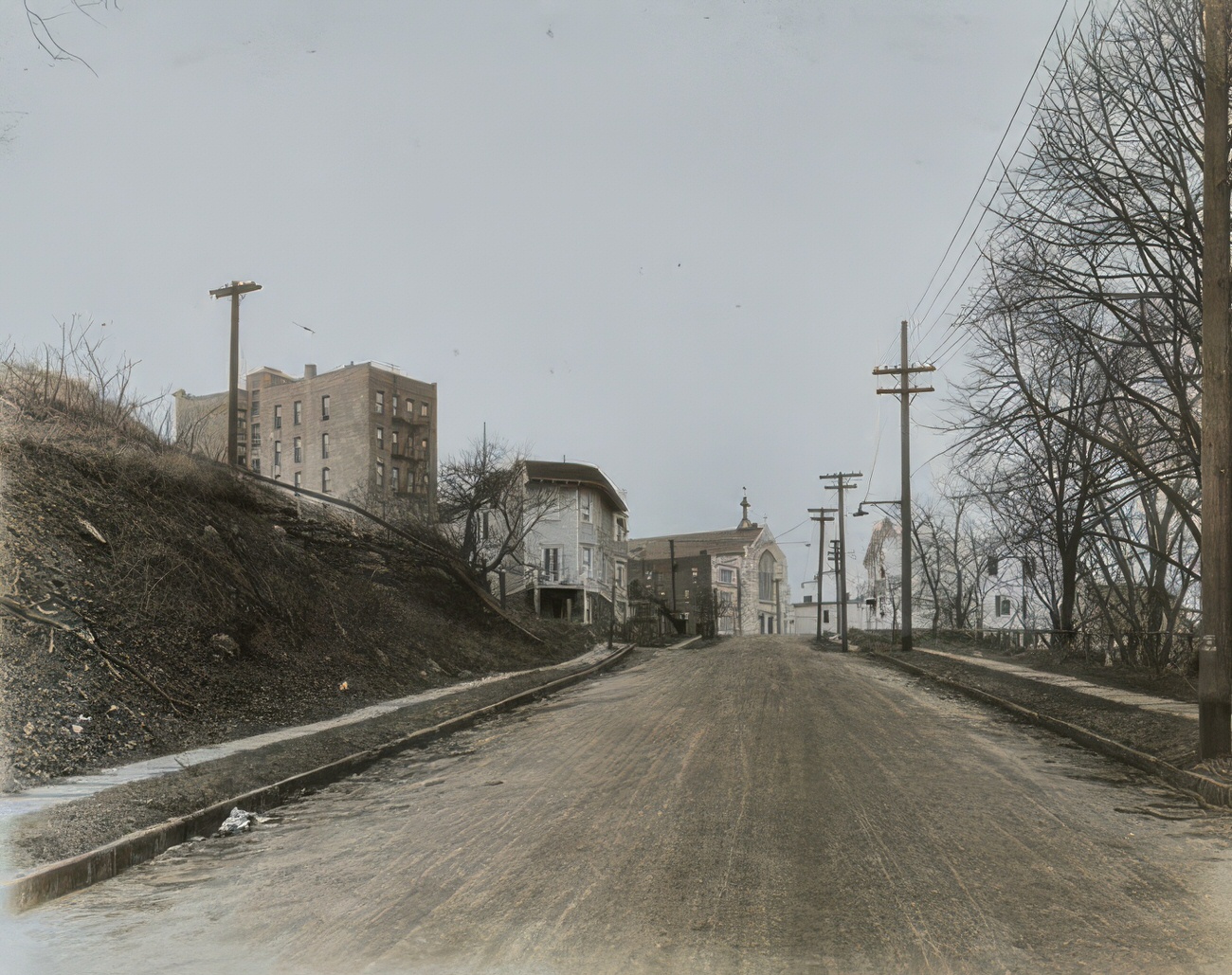
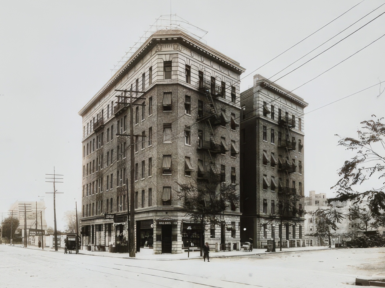
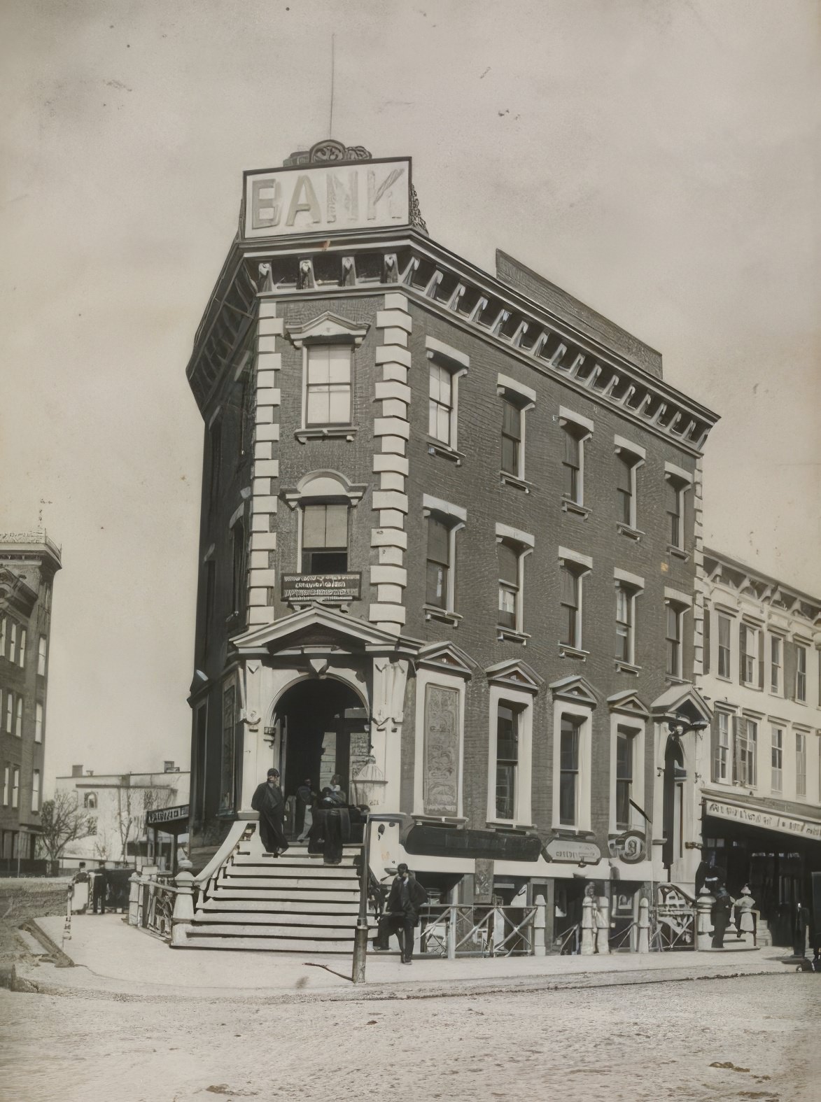
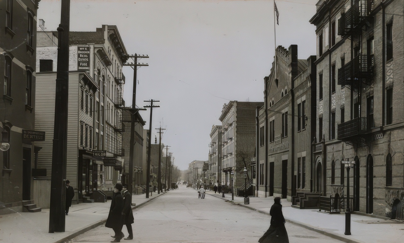
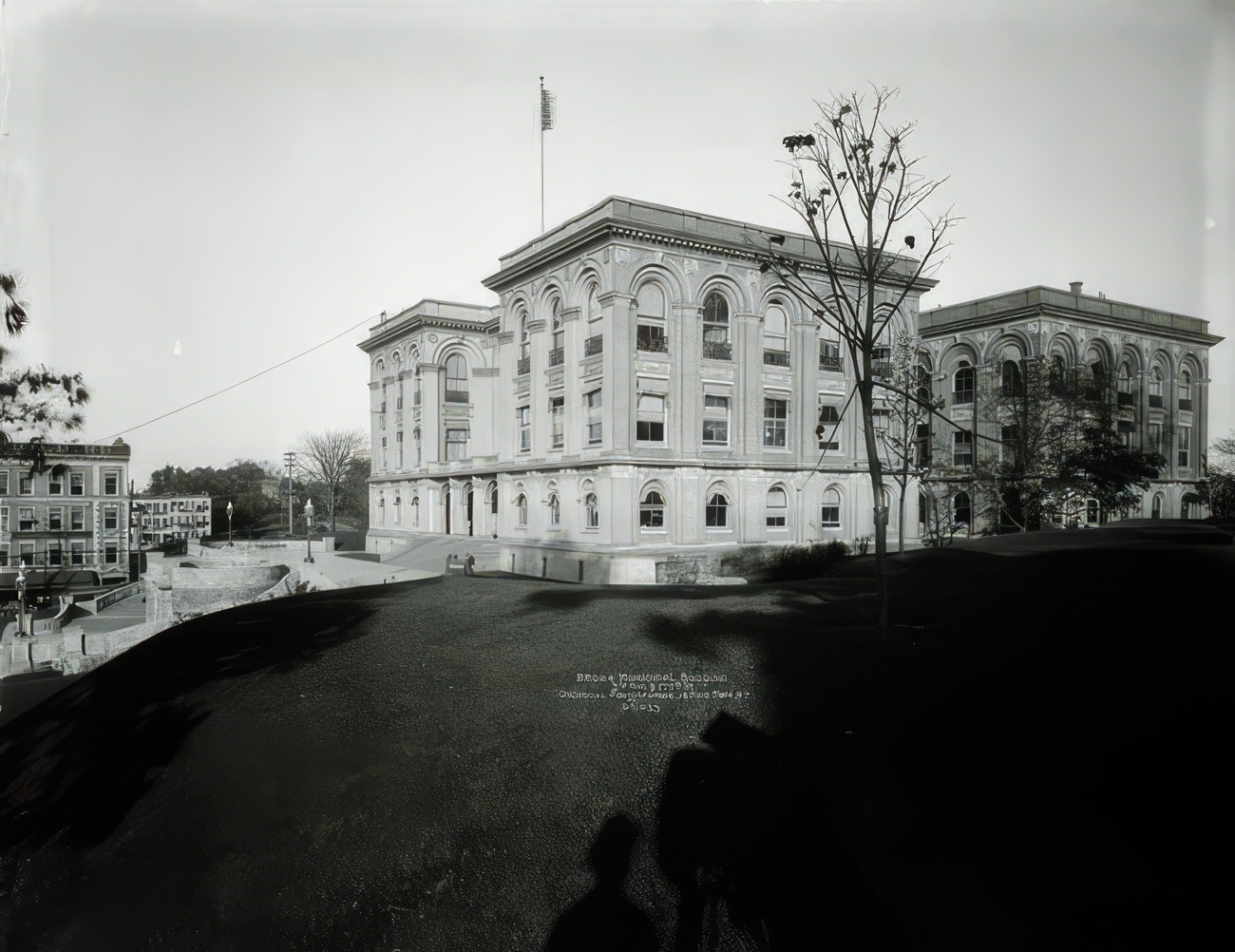
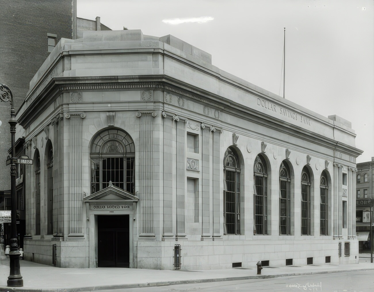
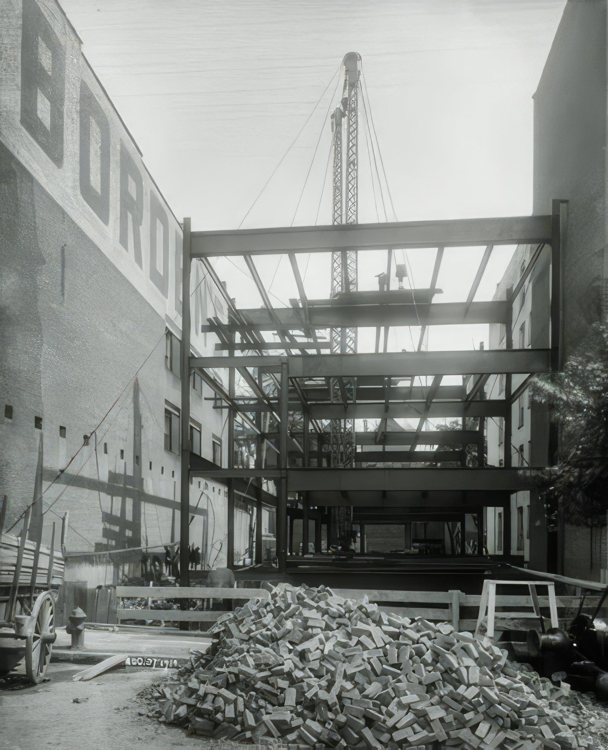
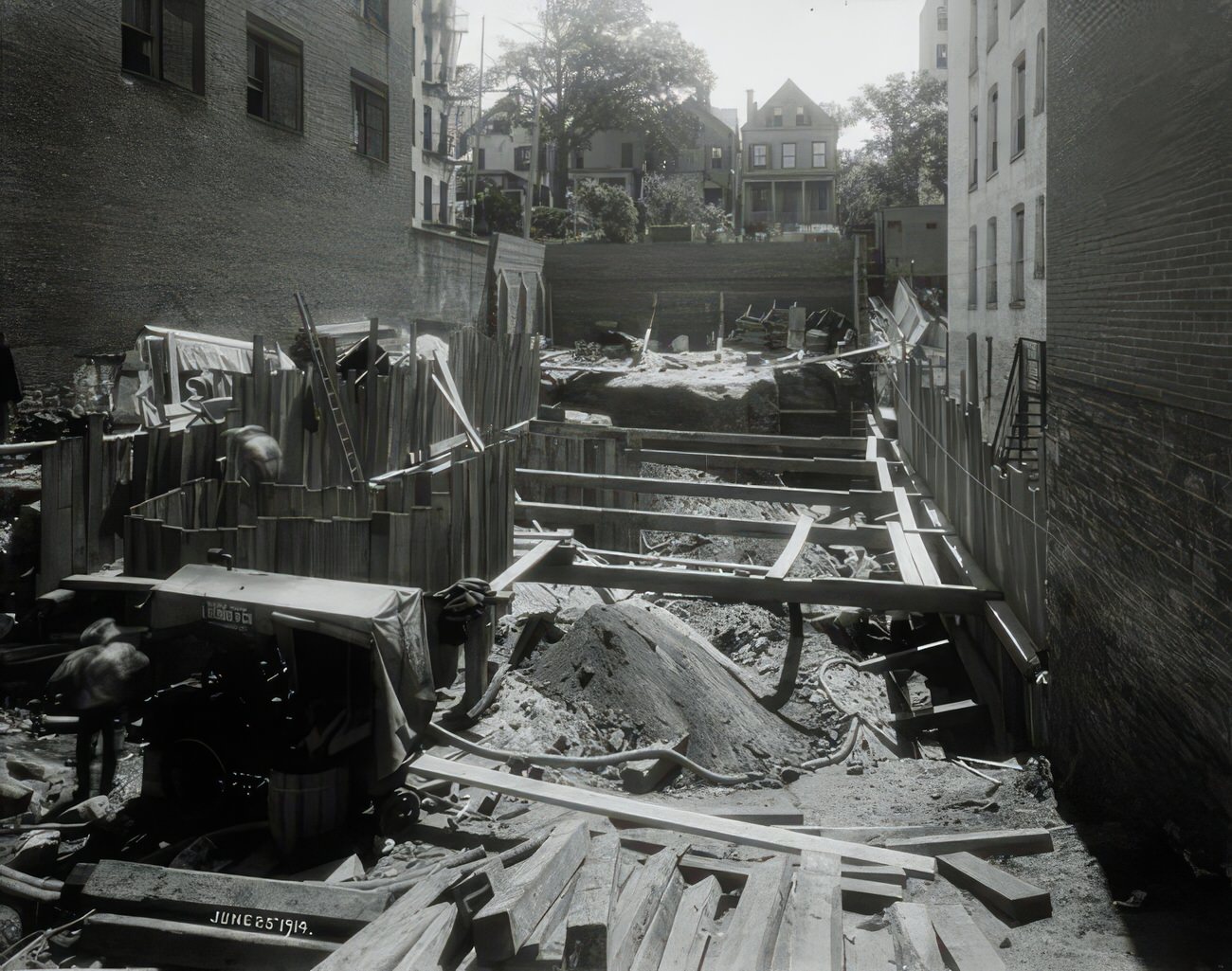
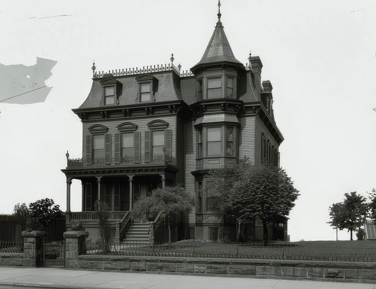
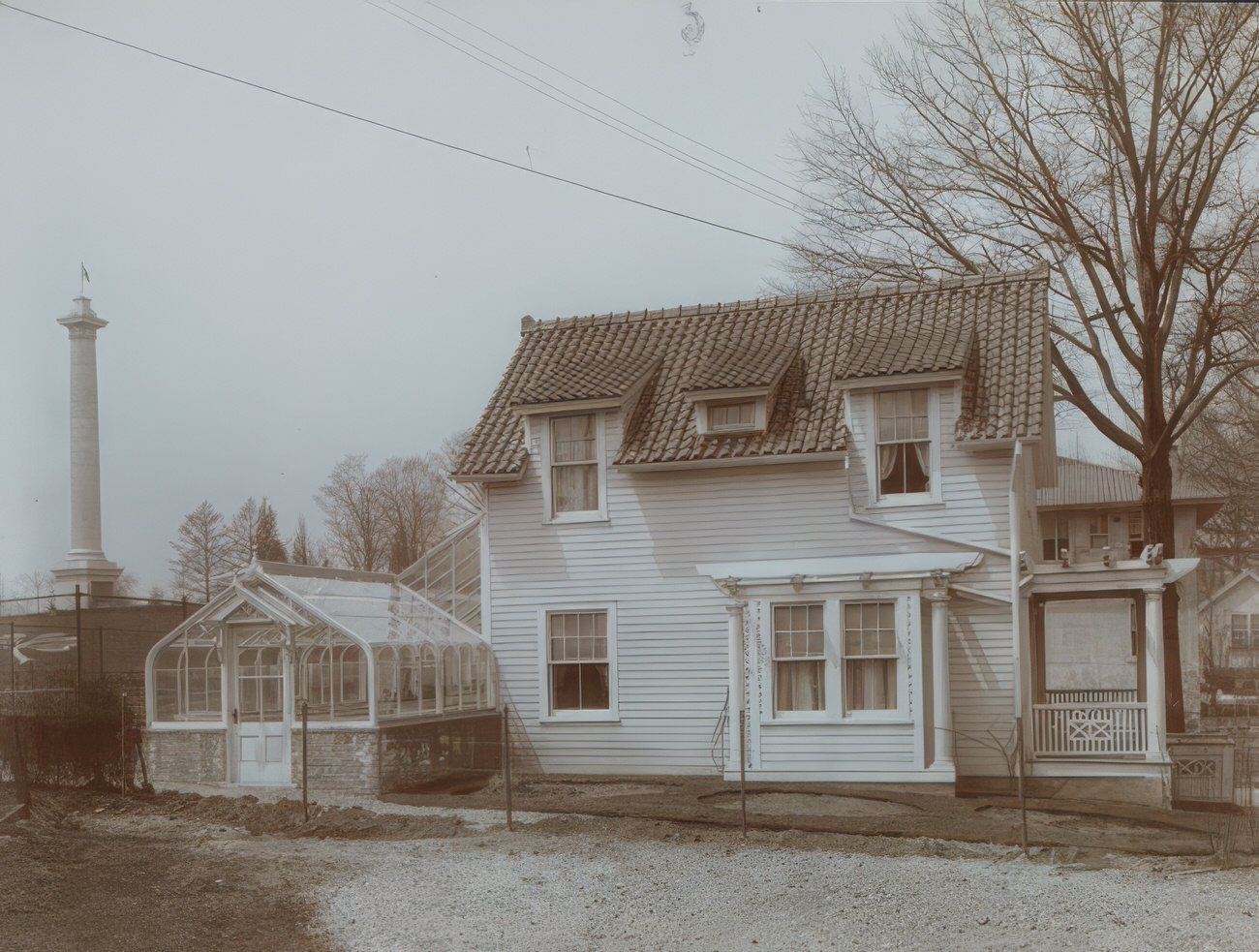
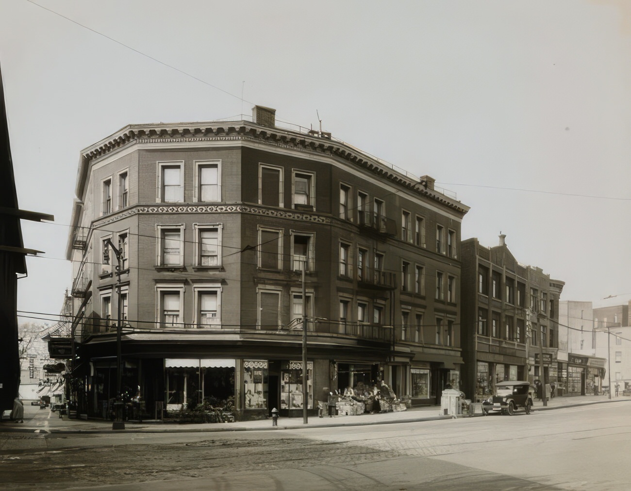
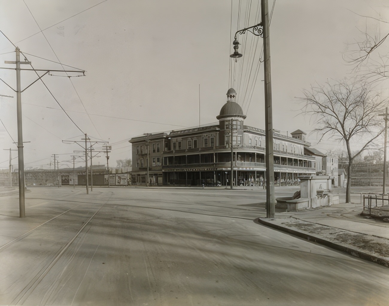
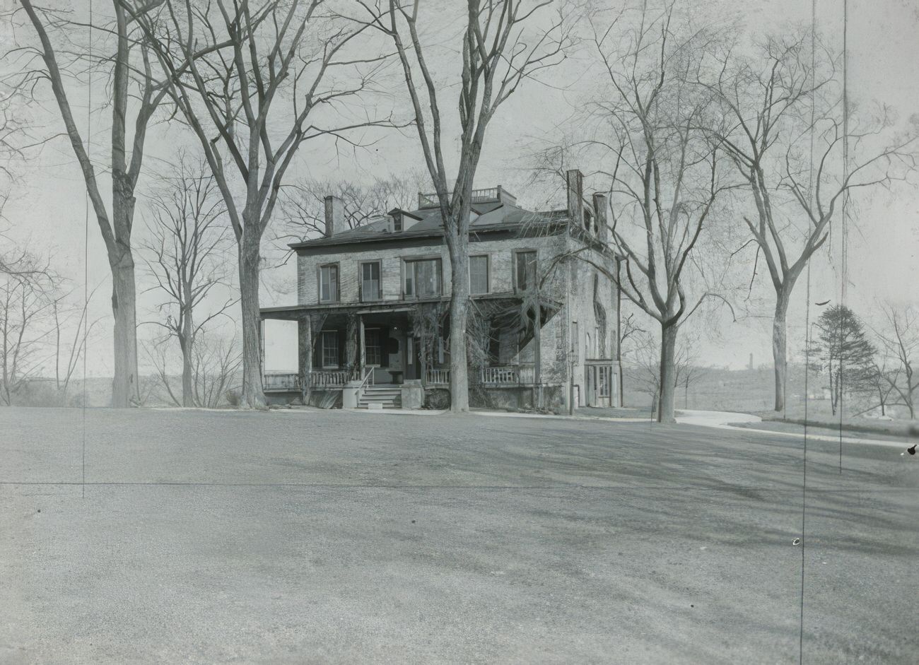
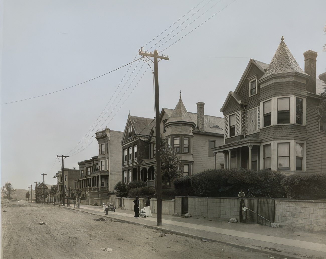
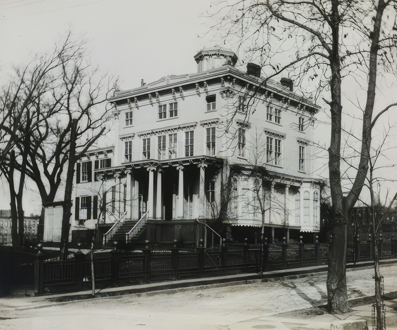
Imagine yourself transported to the Bronx of the 1910s. The air hums with the cacophony of horse-drawn carriages, street vendors hawking their wares, and the rhythmic clang of construction work. Grand brick and brownstone buildings line the streets, while bustling markets and lively storefronts teem with activity. This was the Bronx in its vibrant, dynamic youth, a borough brimming with opportunity and change.

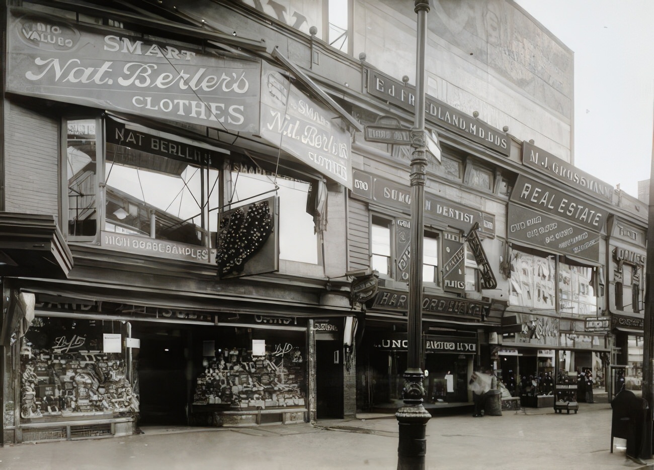
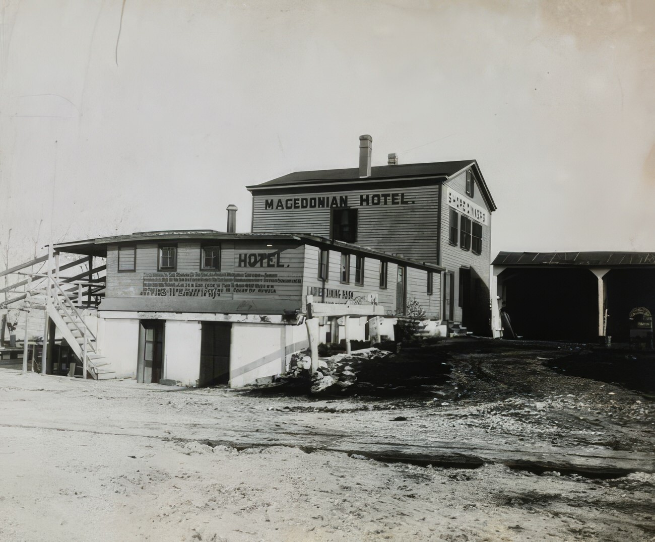
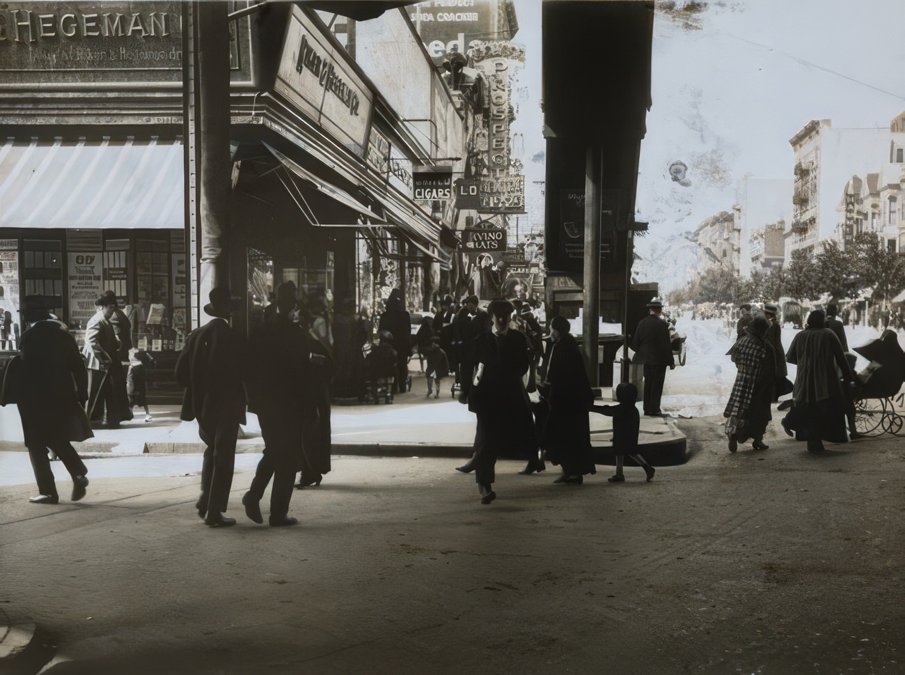
The 1910s saw a surge in immigration, transforming the Bronx into a melting pot of cultures. Italian bakeries fill the air with the aroma of freshly baked bread, while Jewish delis offer mountains of pastrami and rye. Greek cafes buzz with conversation, and the sounds of Irish fiddles and German polka bands fill the air on weekends. Each block offers a glimpse into a different world, each with its own unique customs, languages, and flavors.
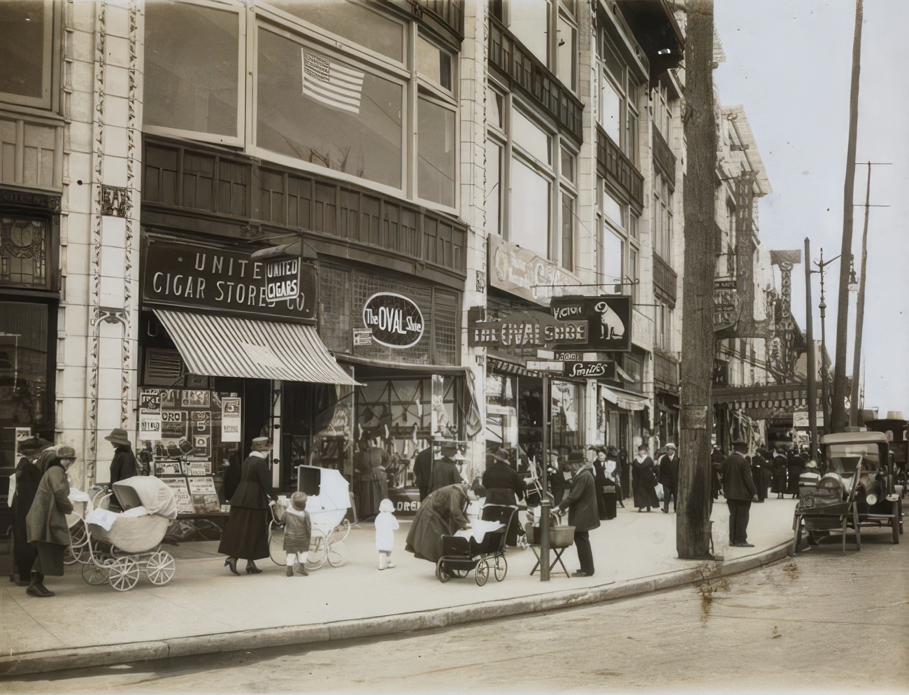
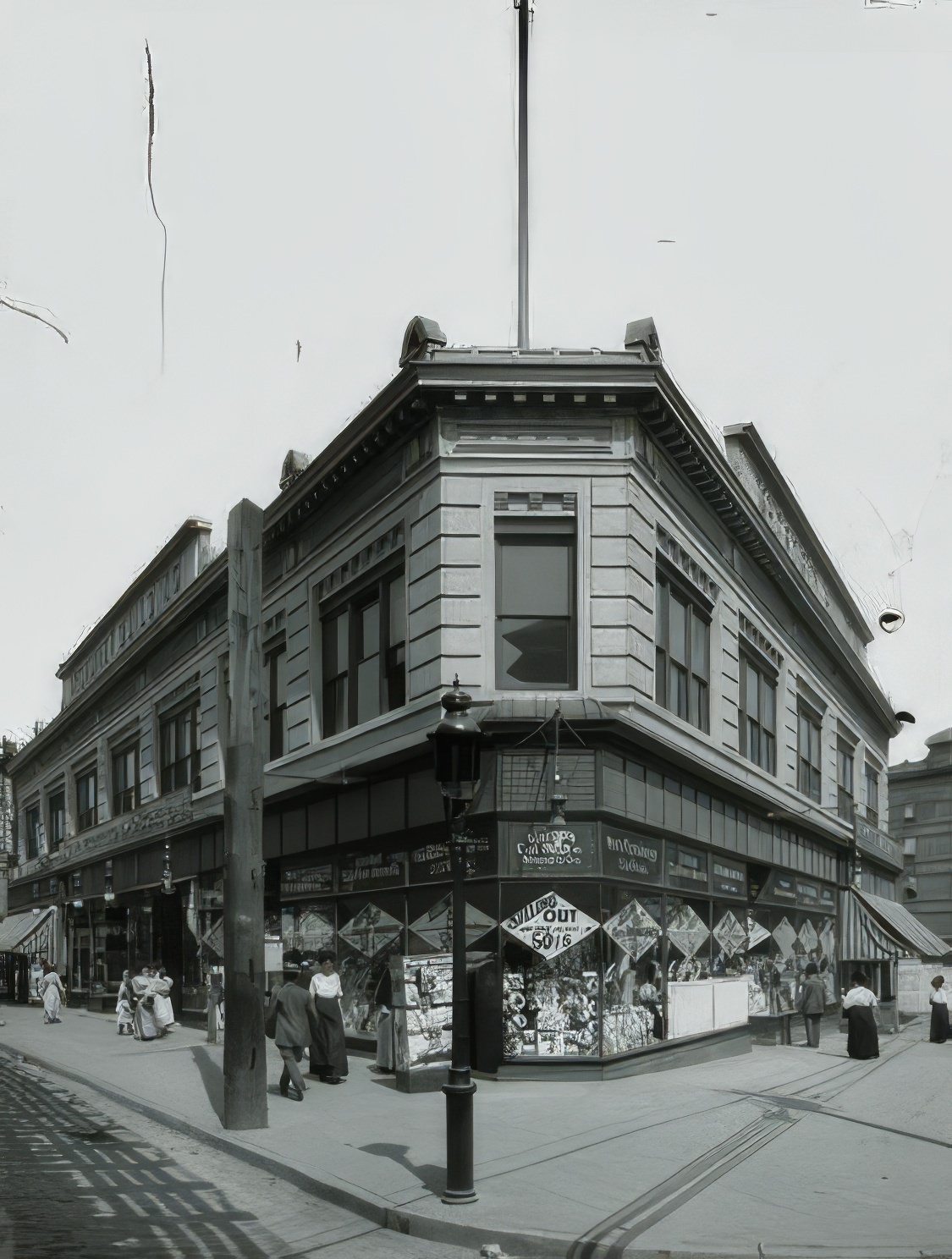
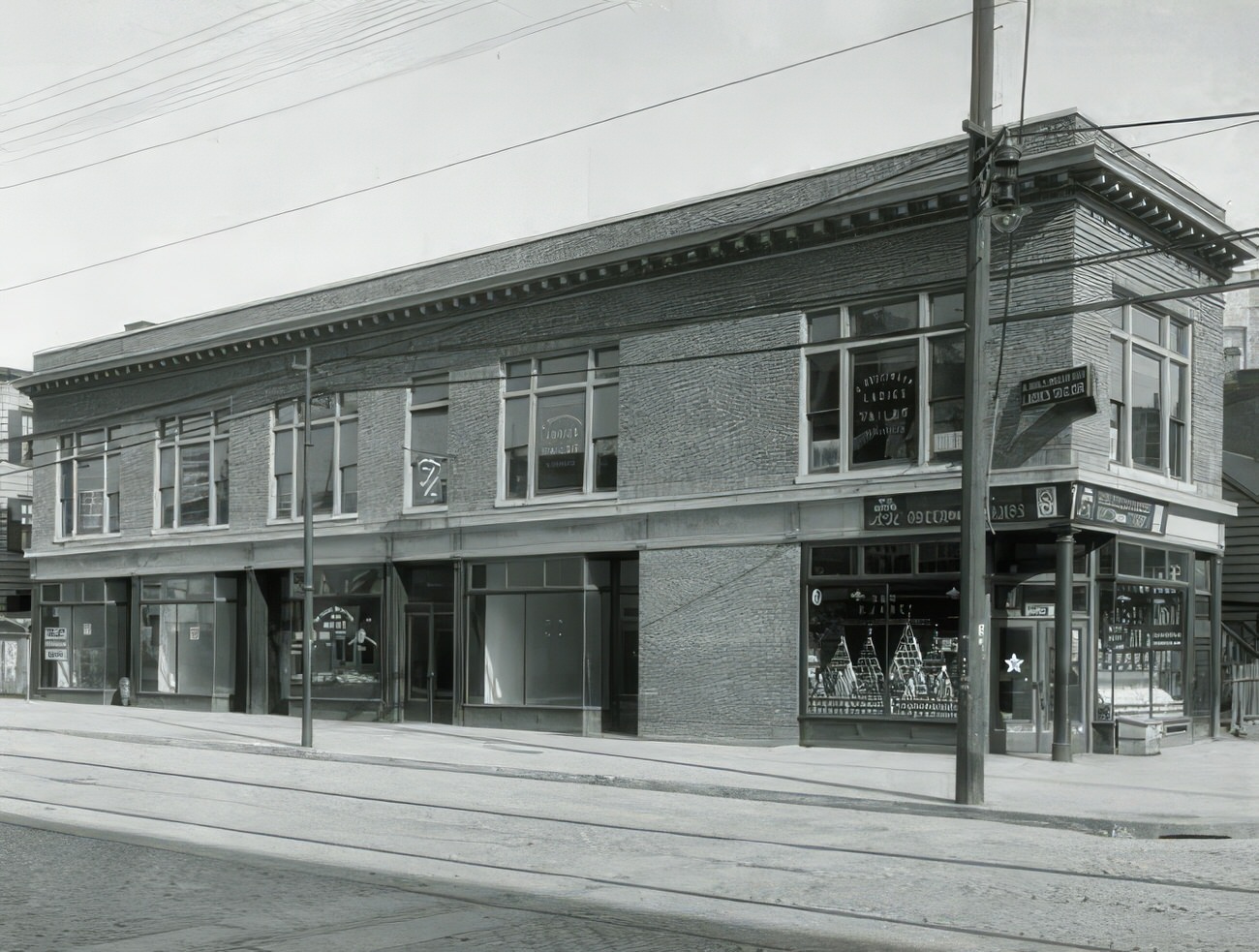
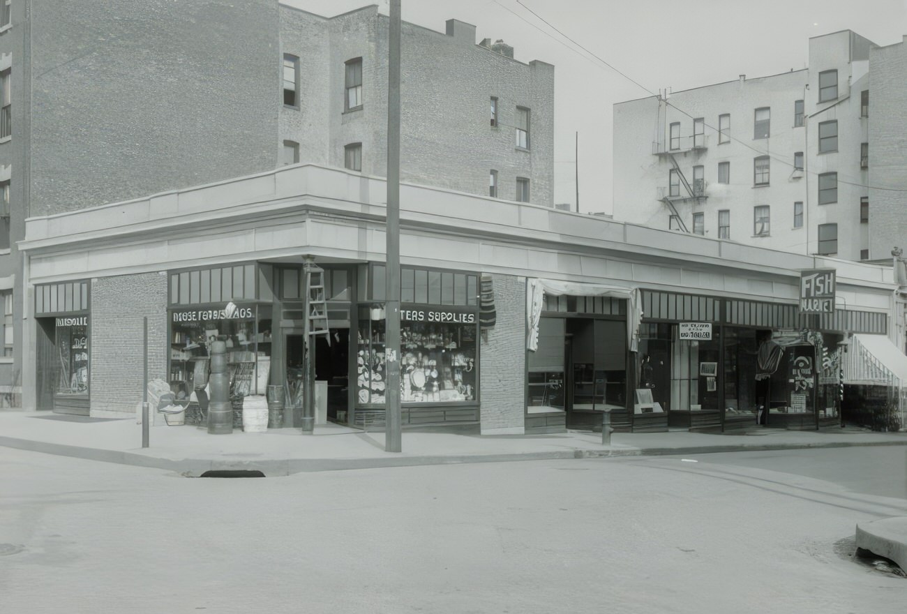
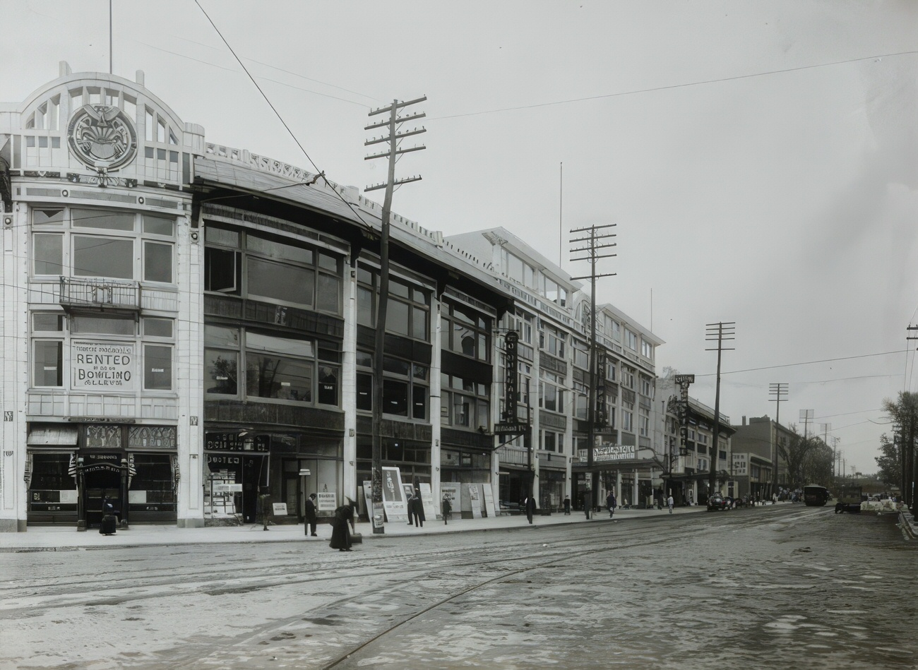
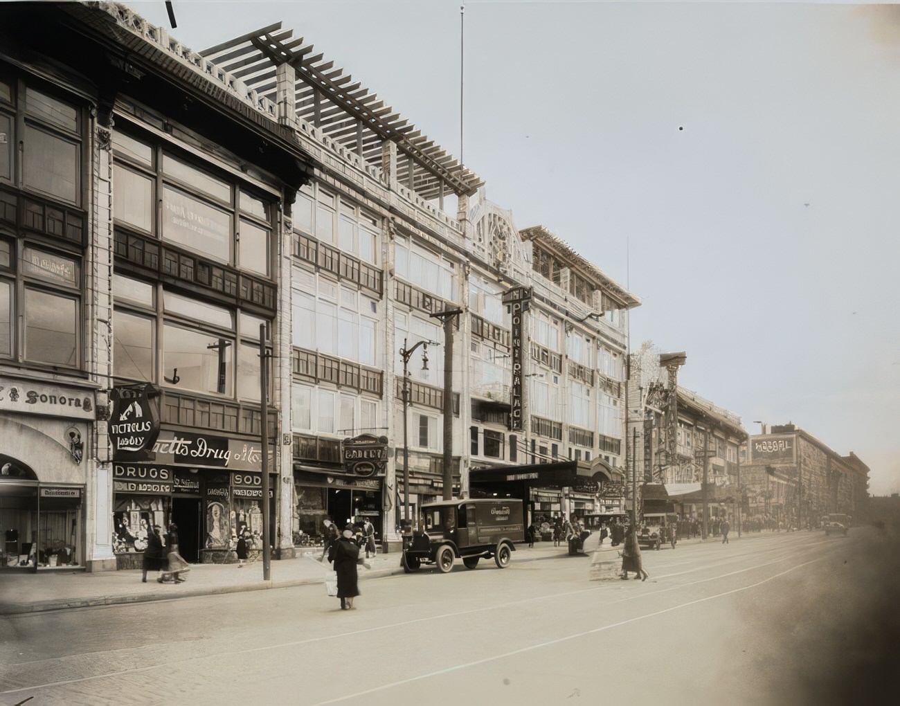
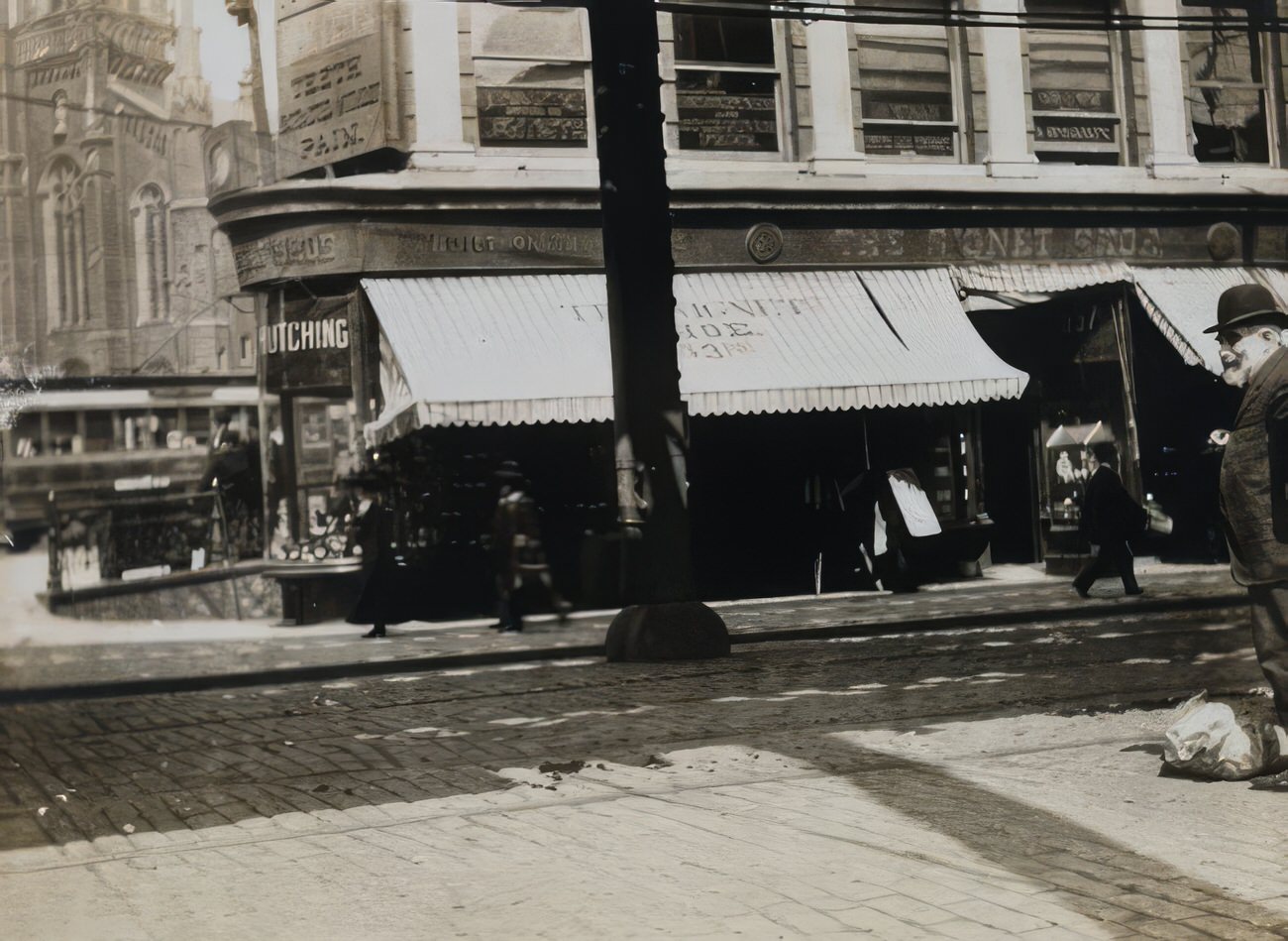
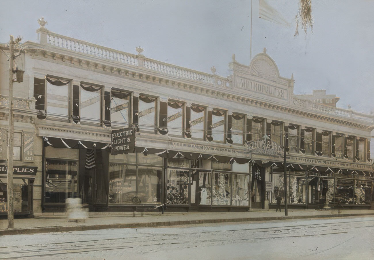
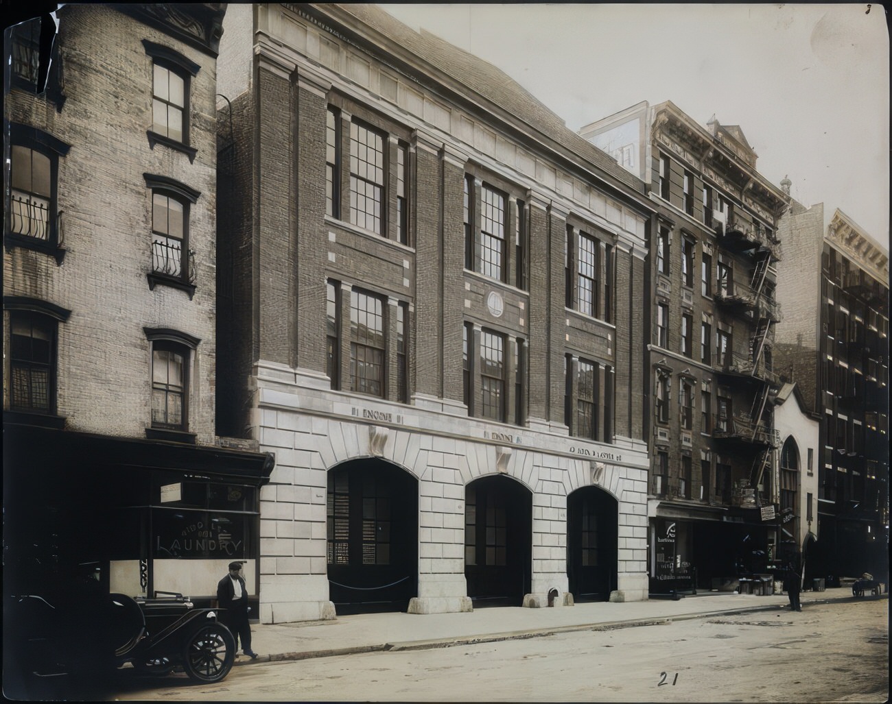
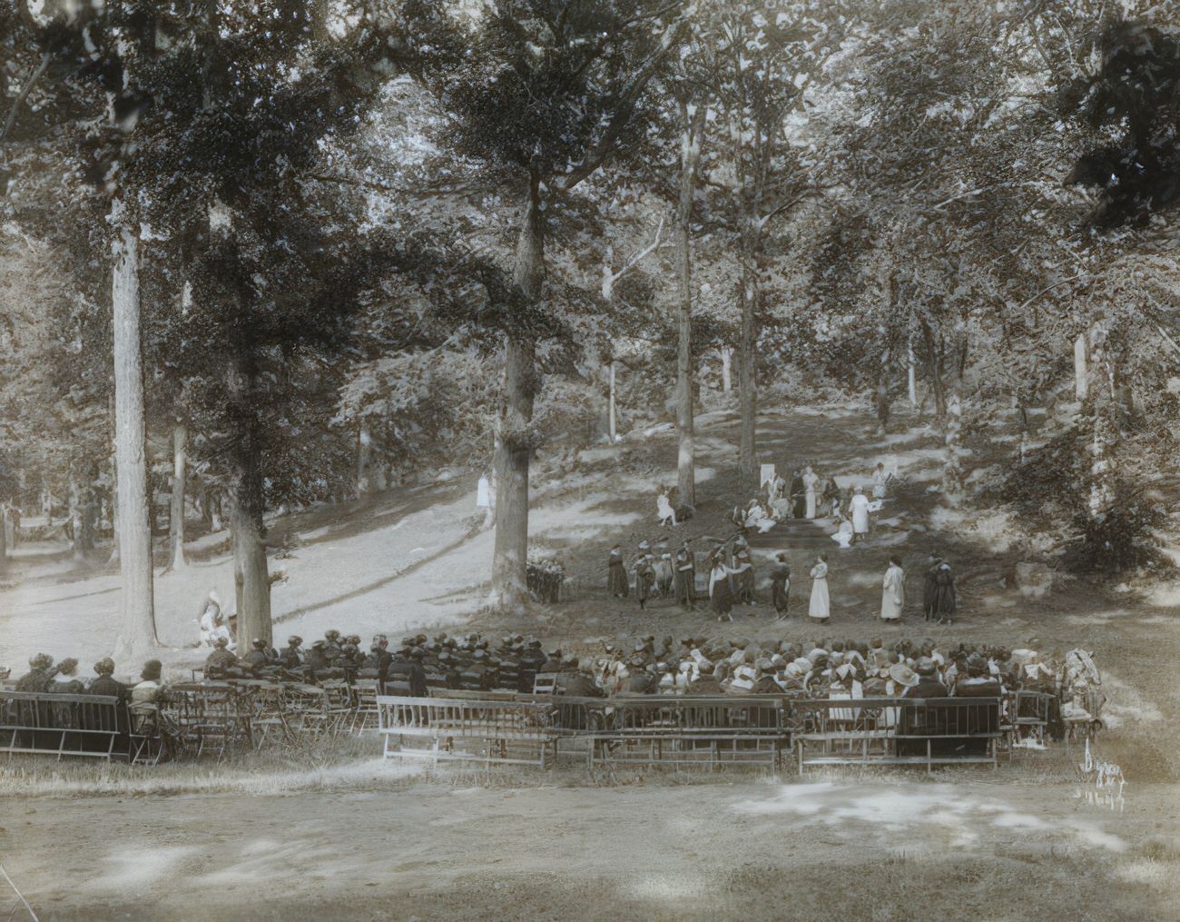
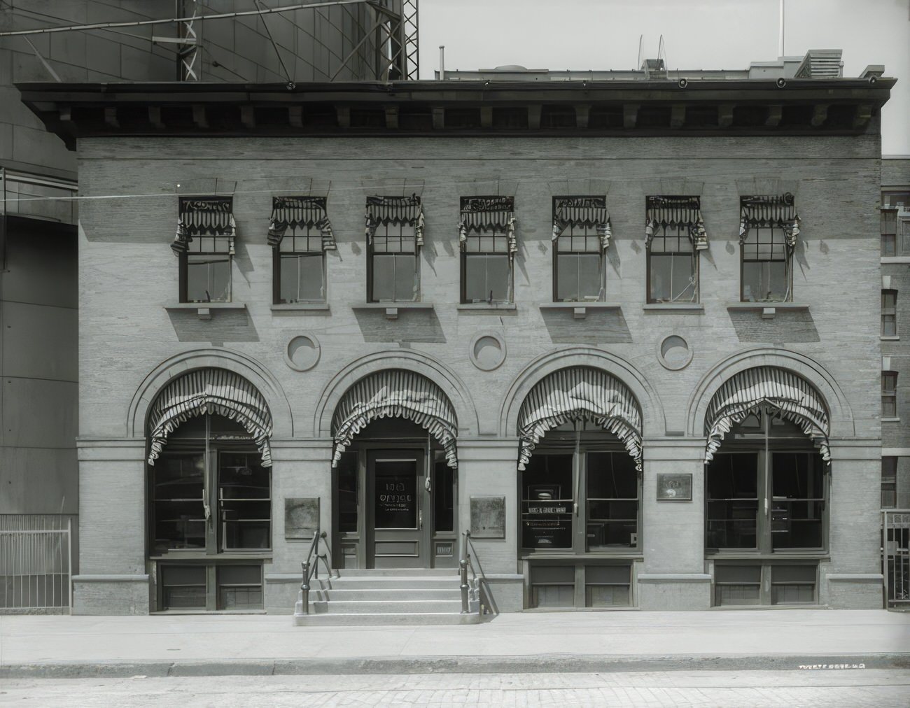
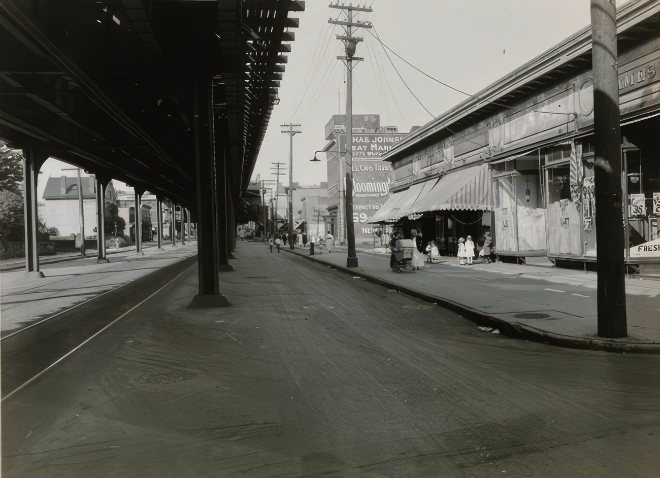
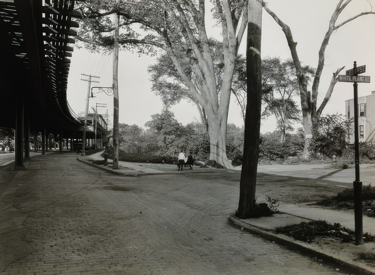
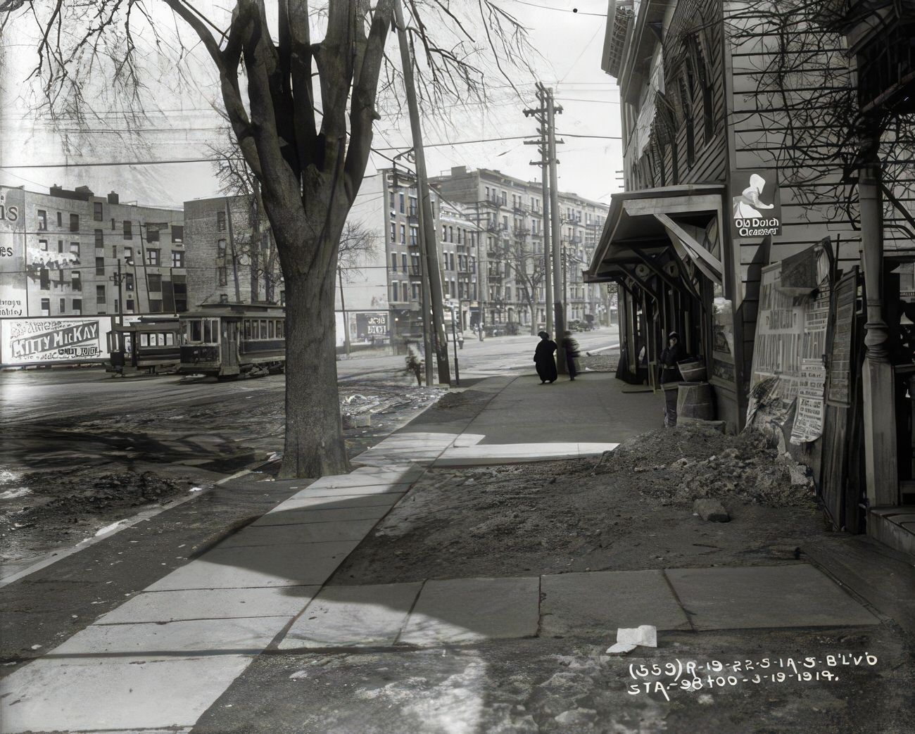
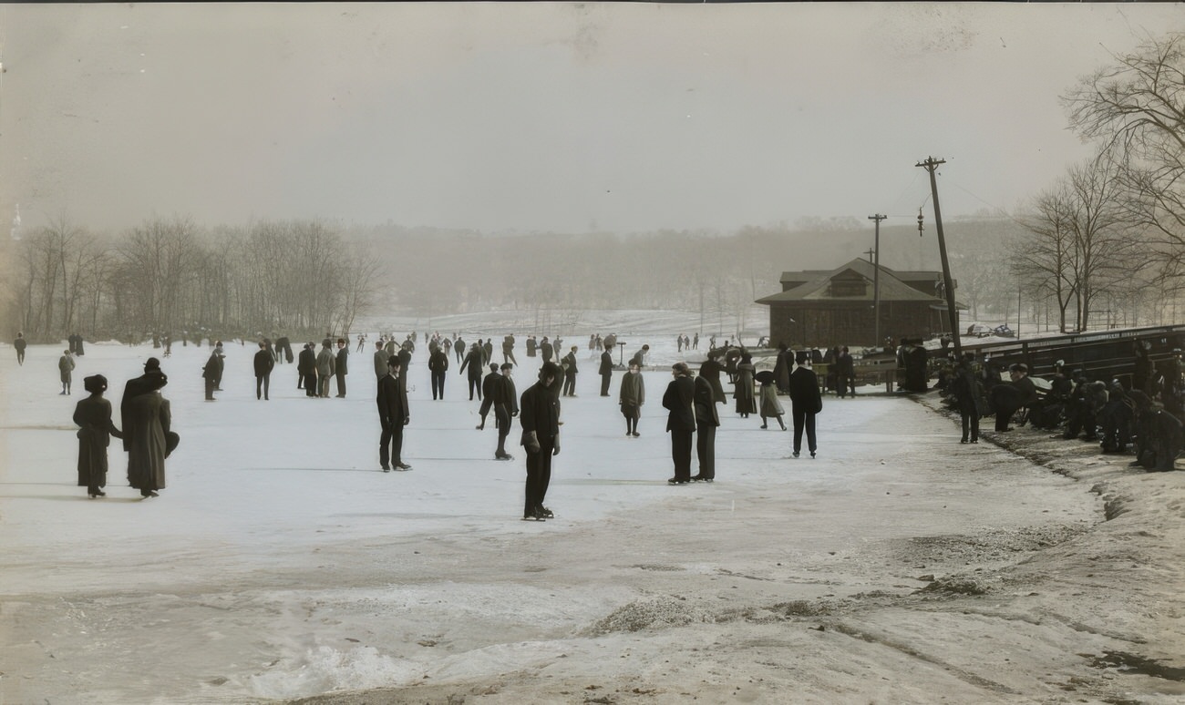
Life on the Street

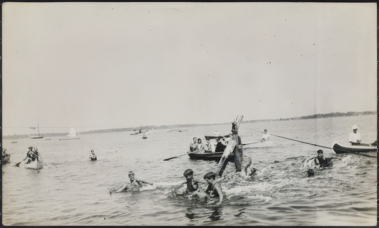
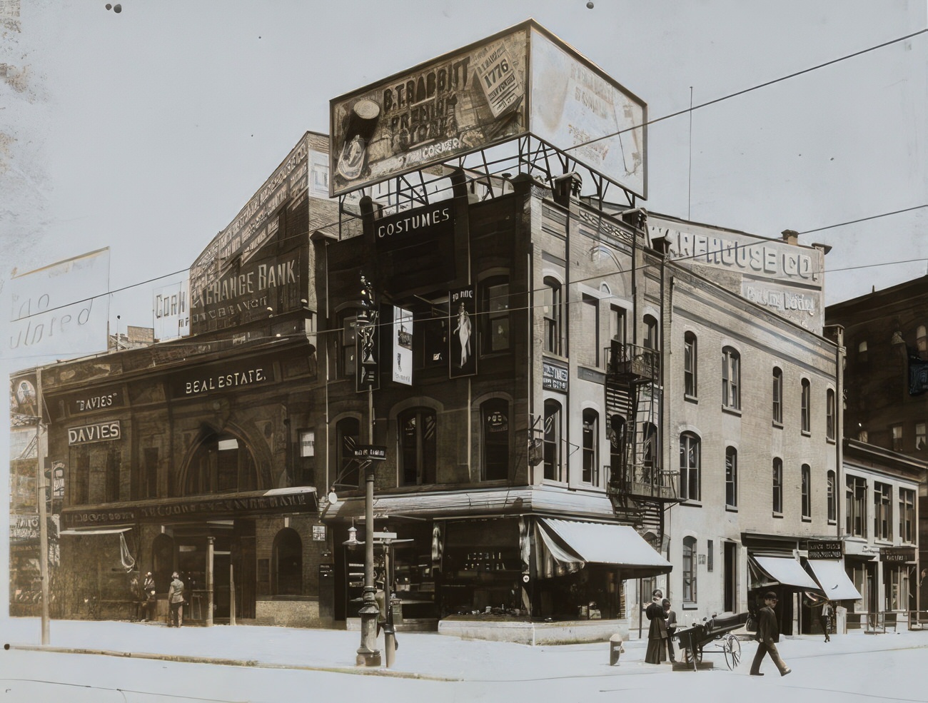
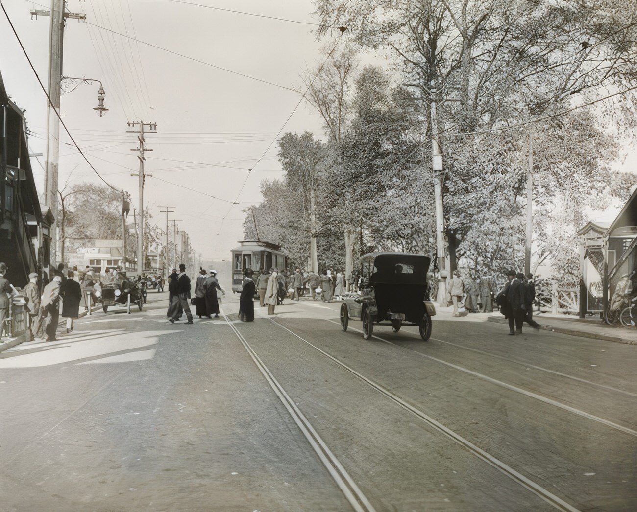
Street life in the 1910s Bronx was a constant performance. Street vendors hawk their wares – fruits, vegetables, fresh fish, and even live animals – their voices competing with the cries of newsboys selling the latest headlines. Children play games like stickball and hopscotch in the narrow streets, their laughter echoing through the canyons of brick. In the evenings, men gather in corner saloons, discussing everything from politics to baseball.

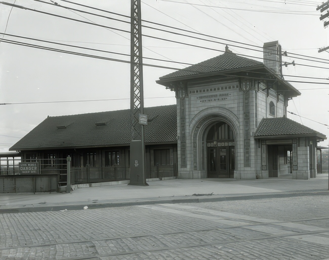
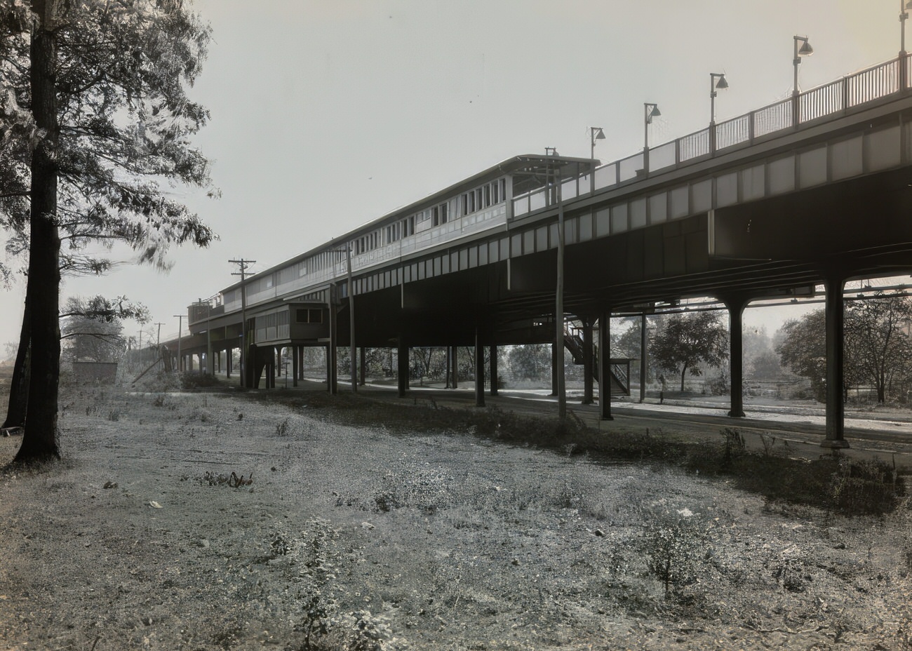
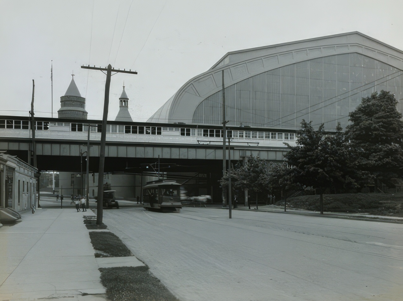
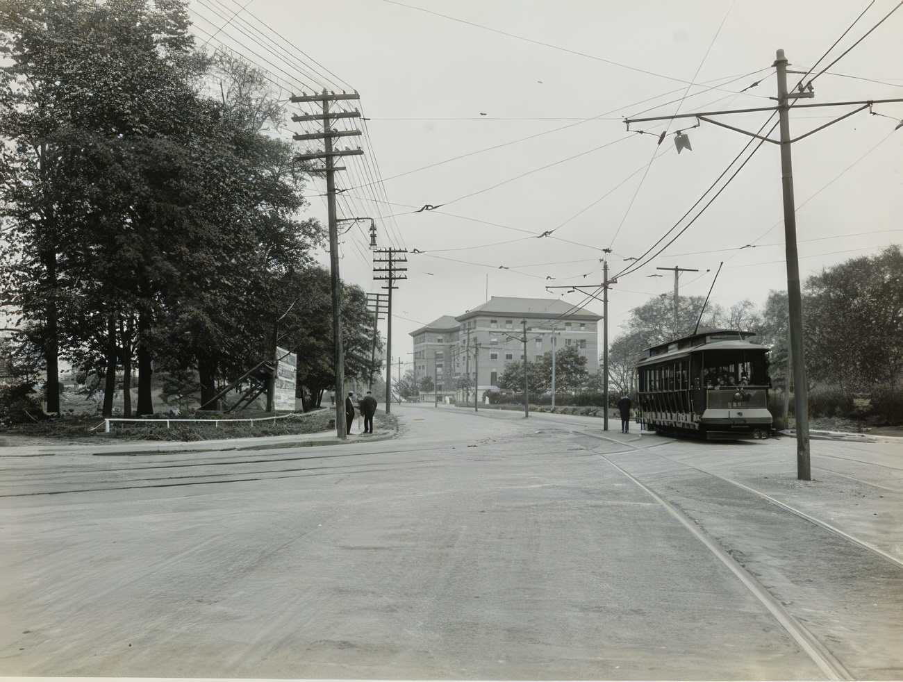
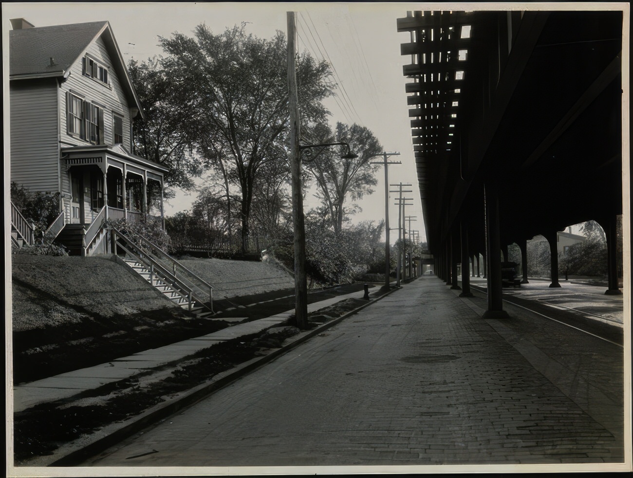
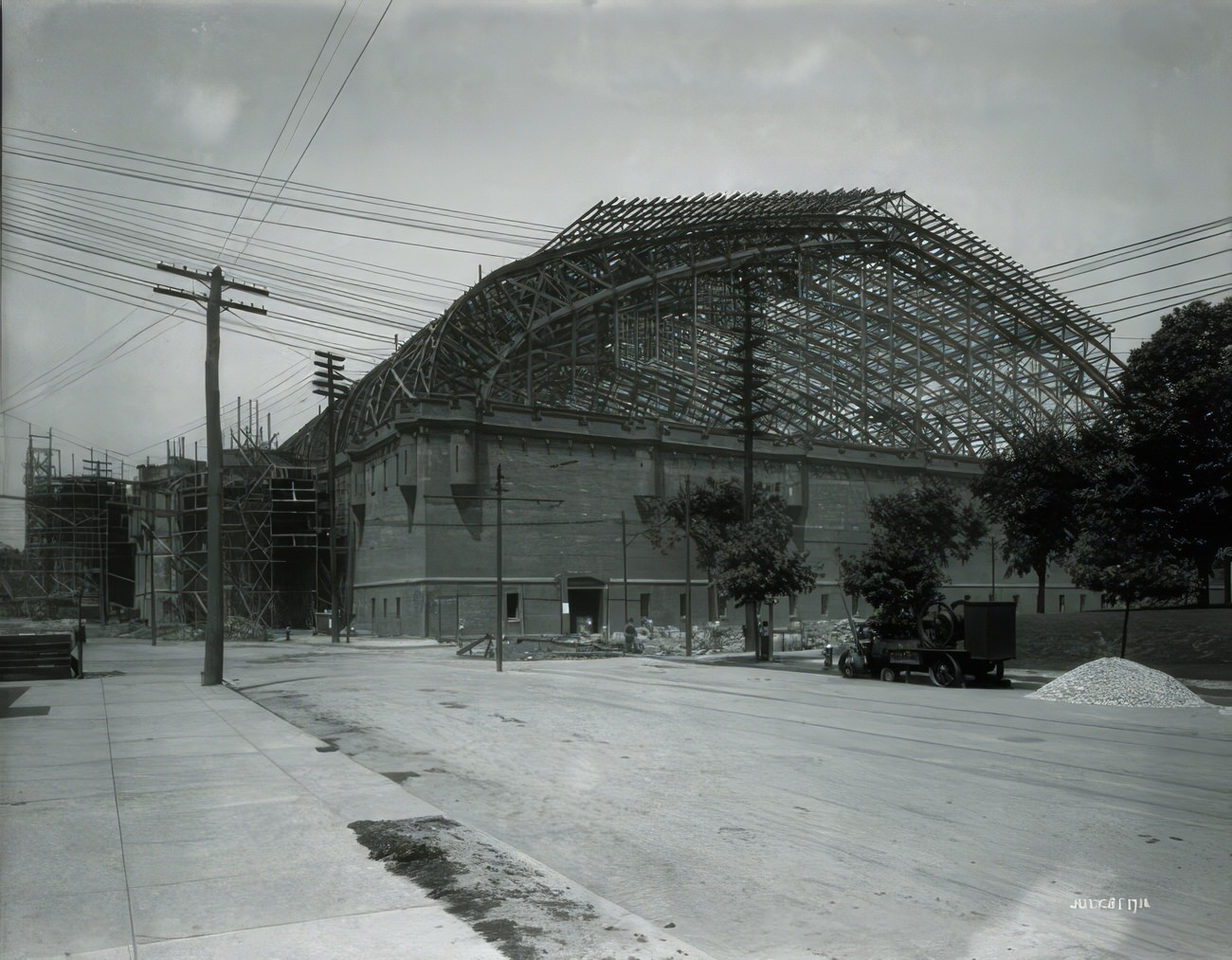
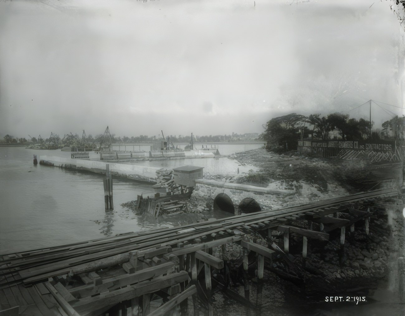
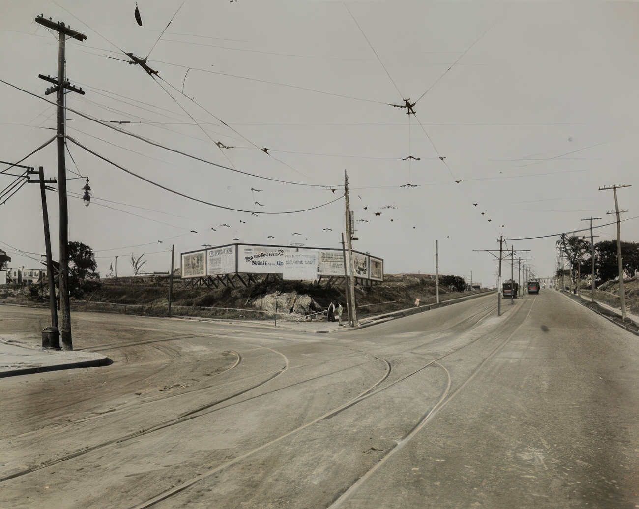
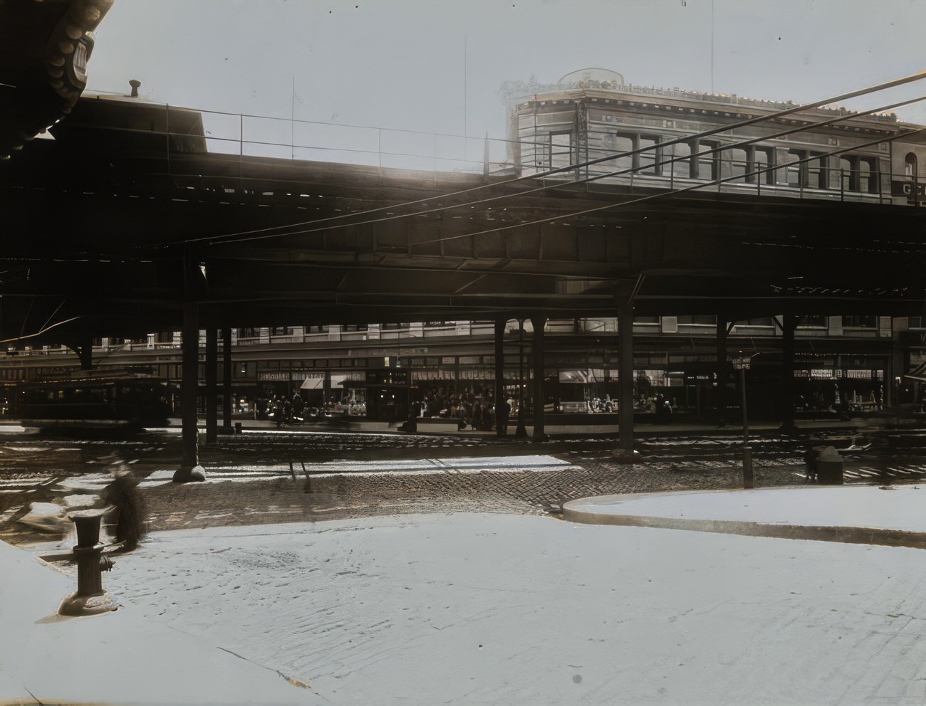
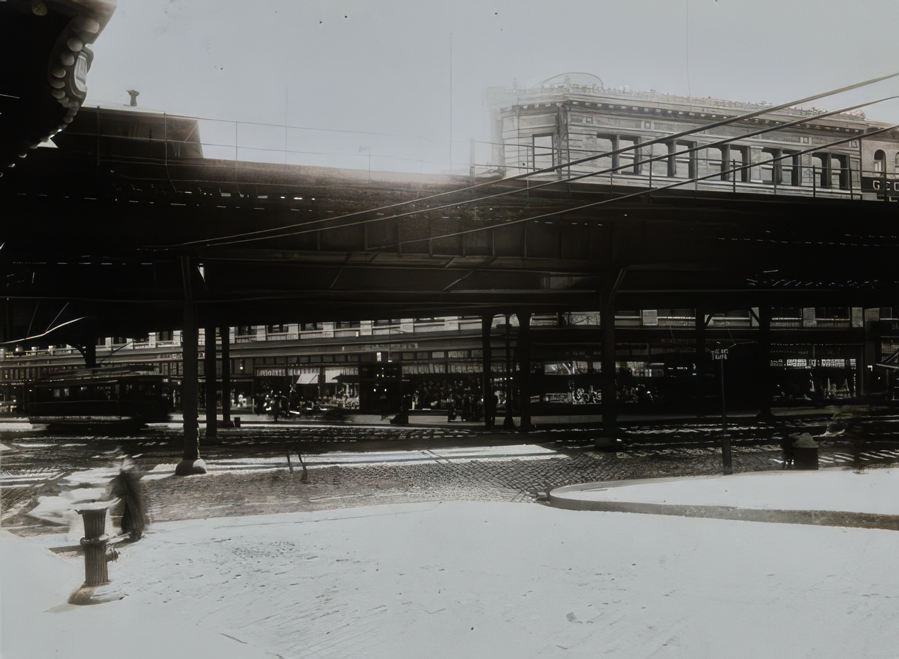
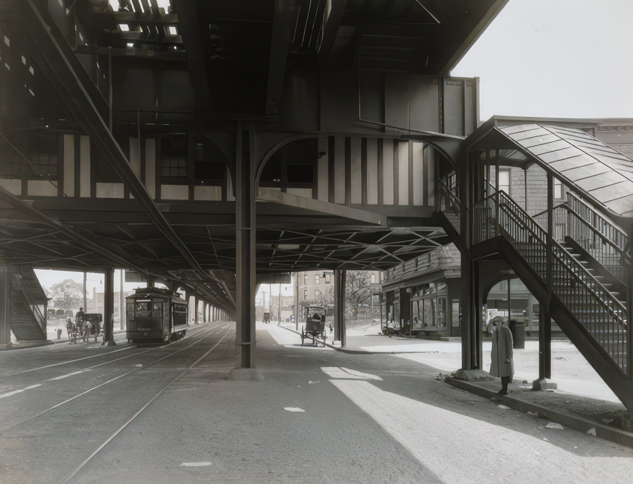
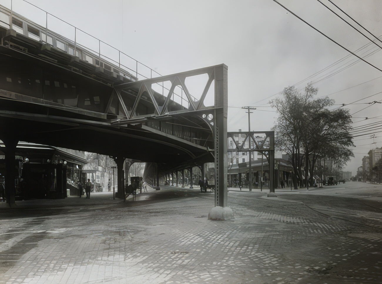
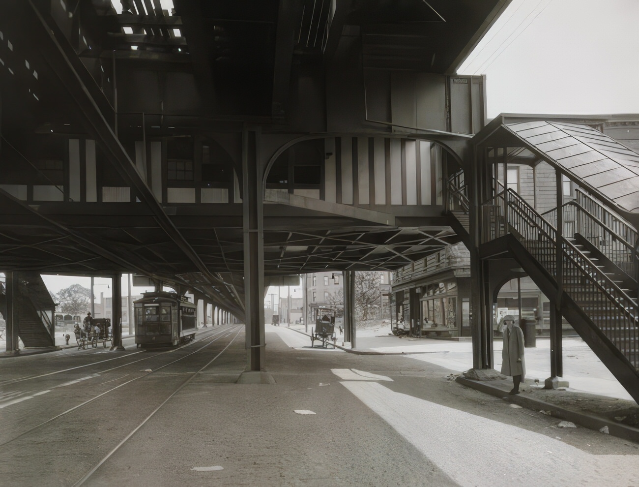
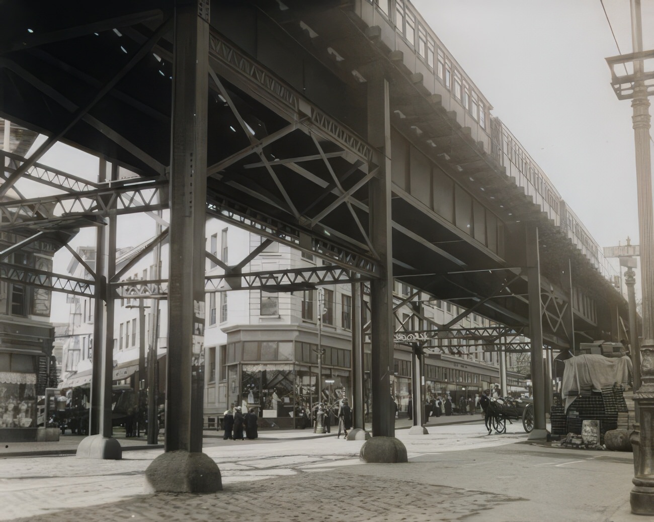
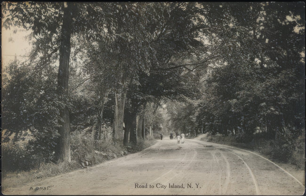
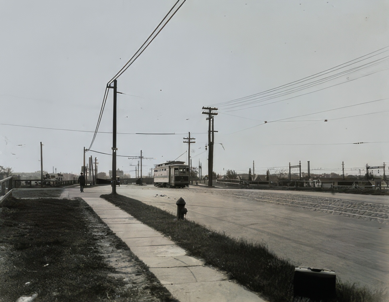
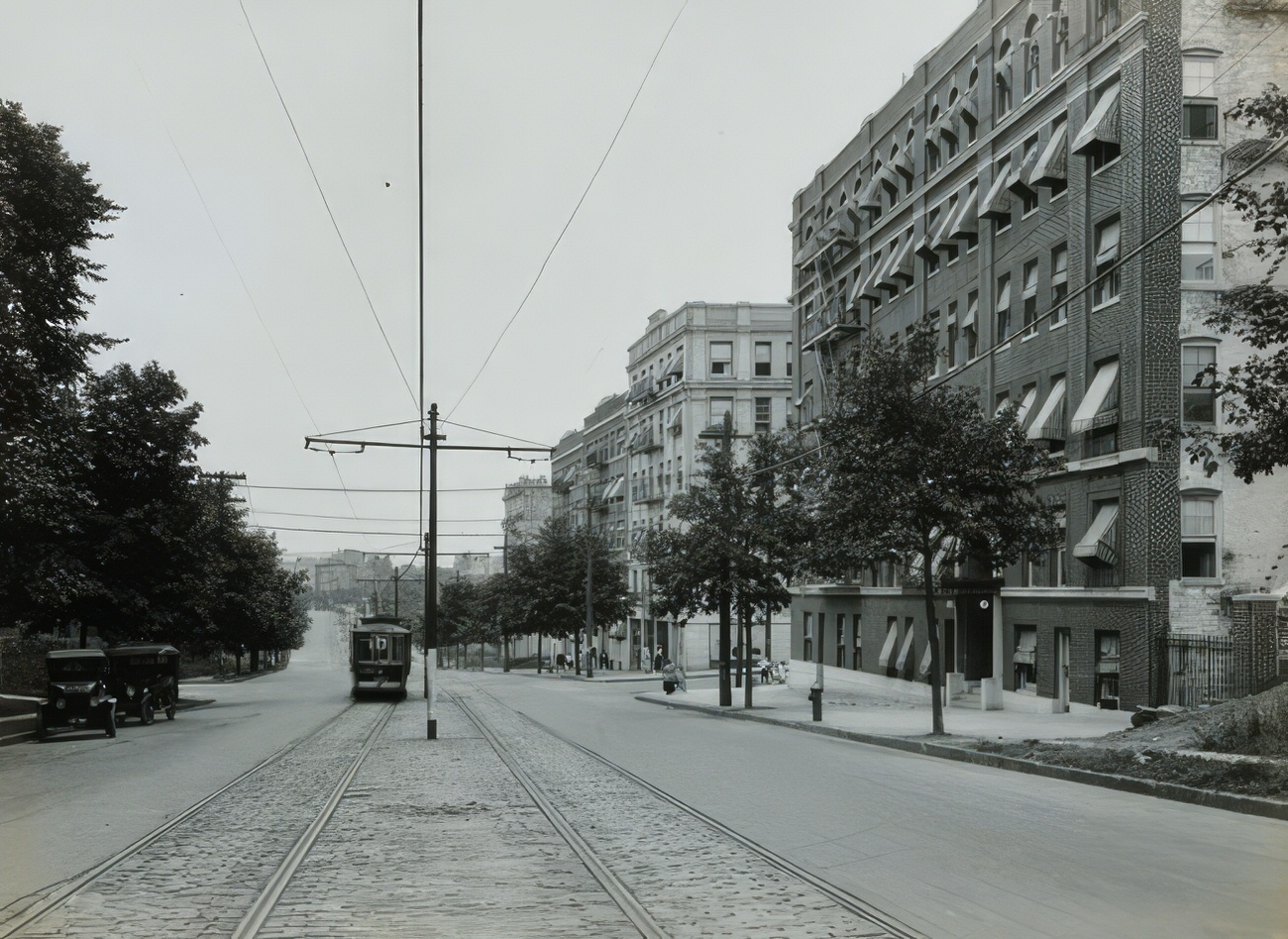
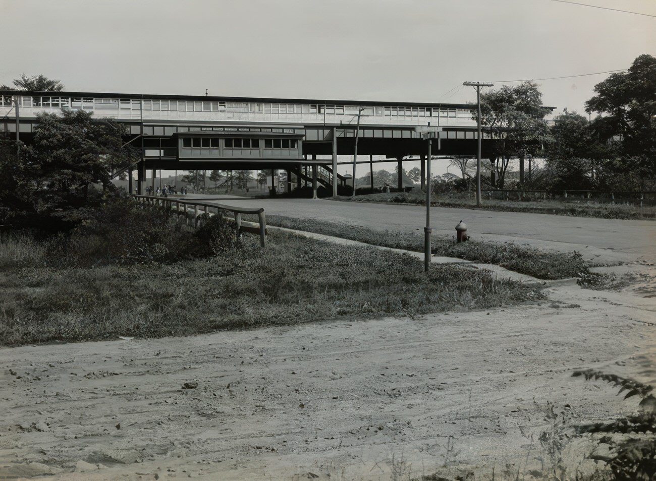
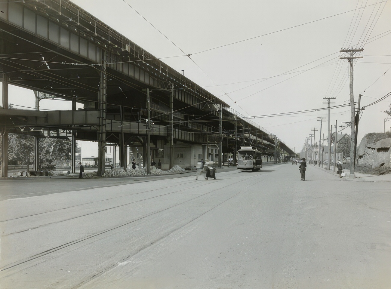
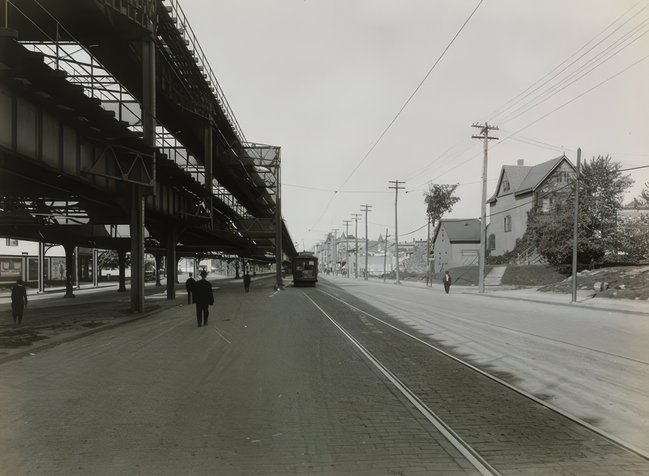
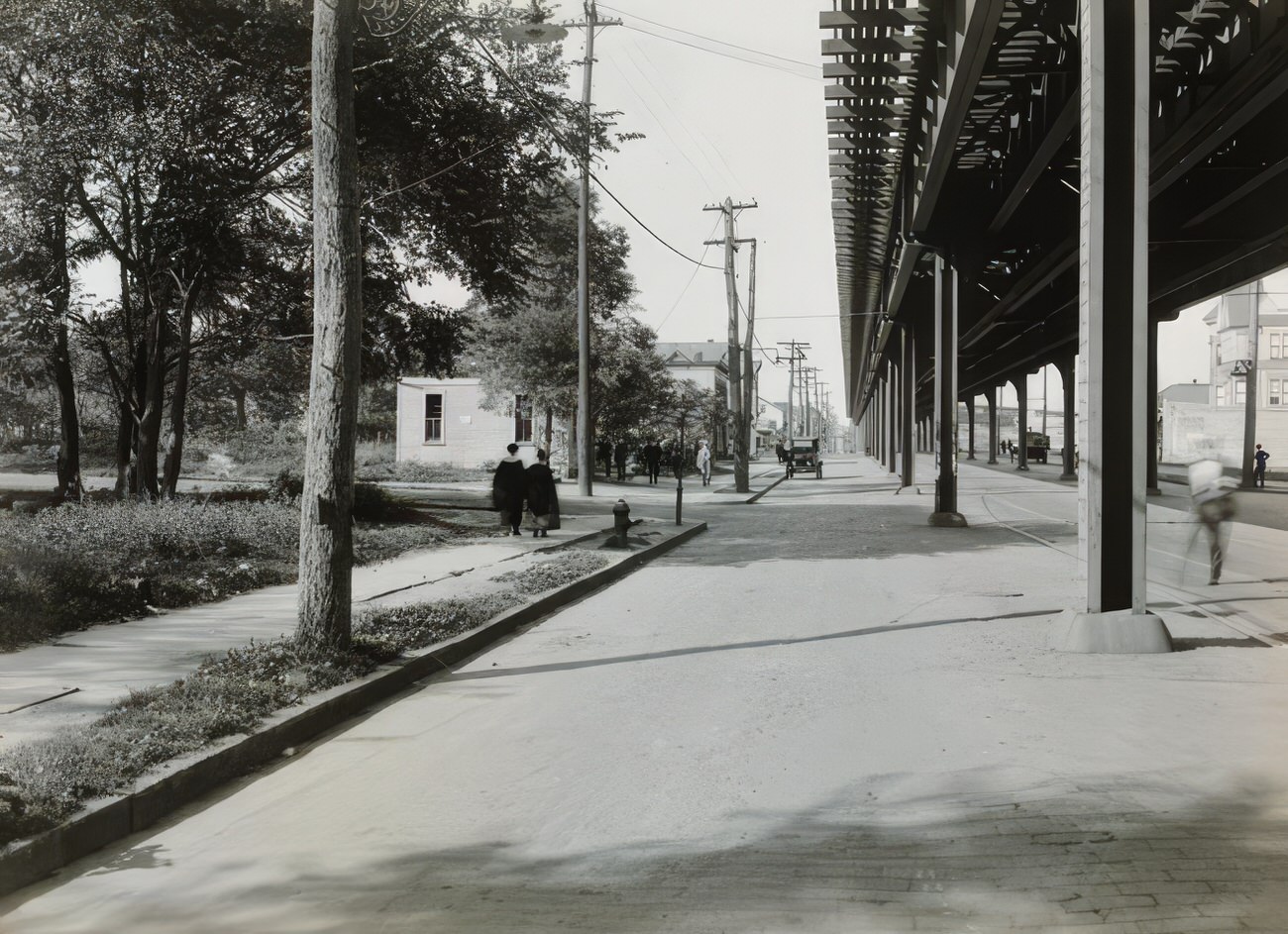
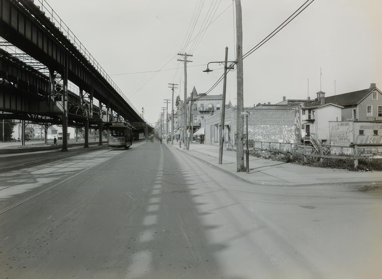
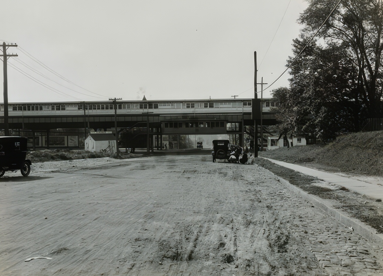
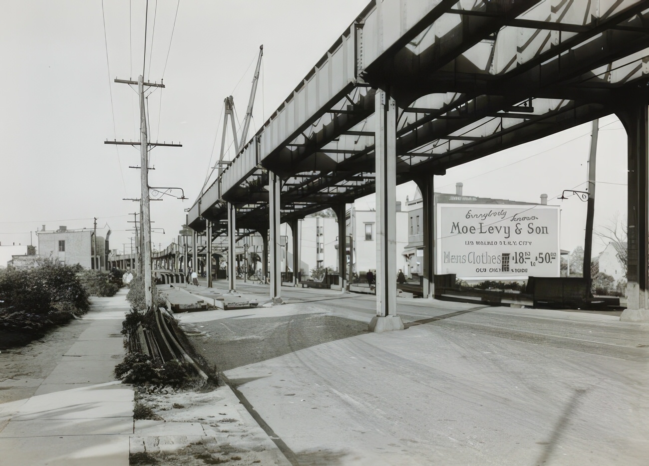
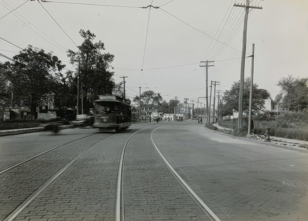
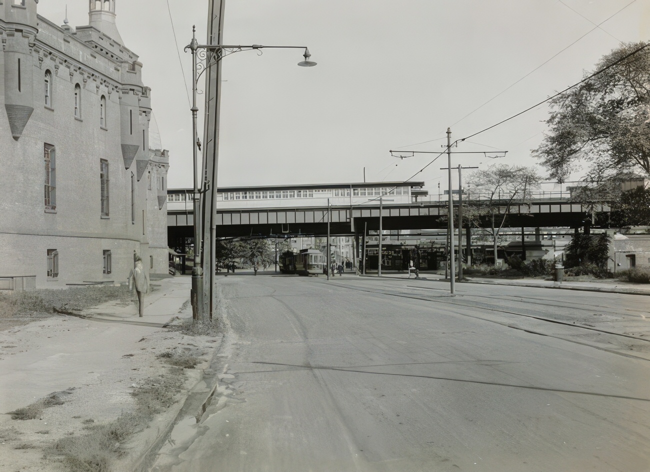
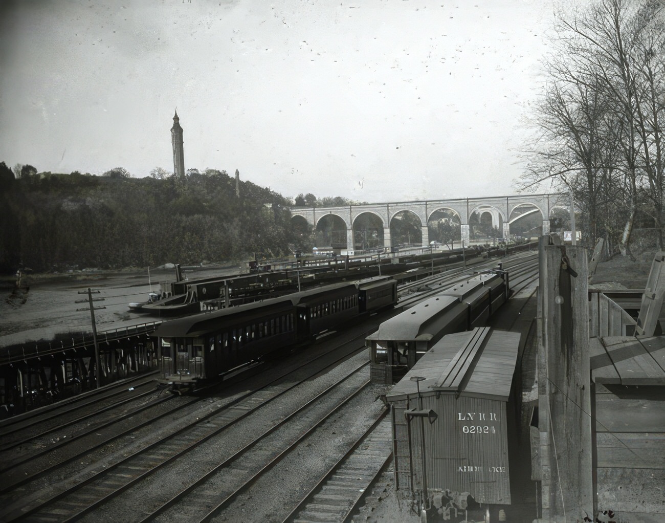
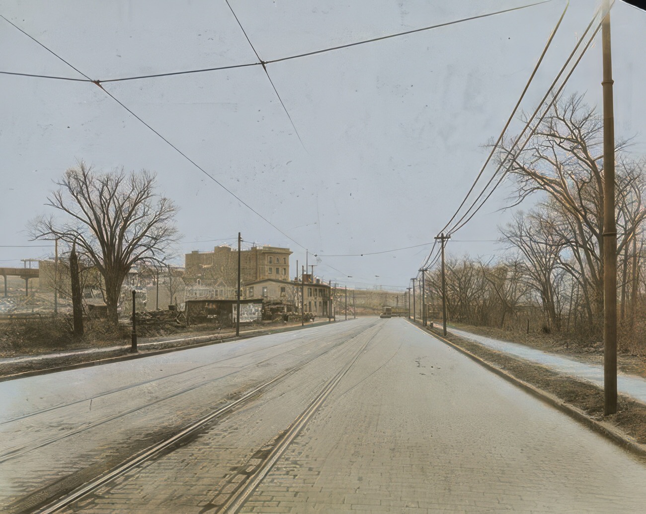
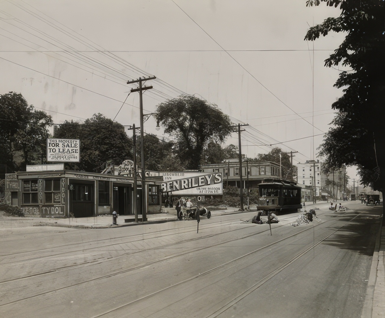
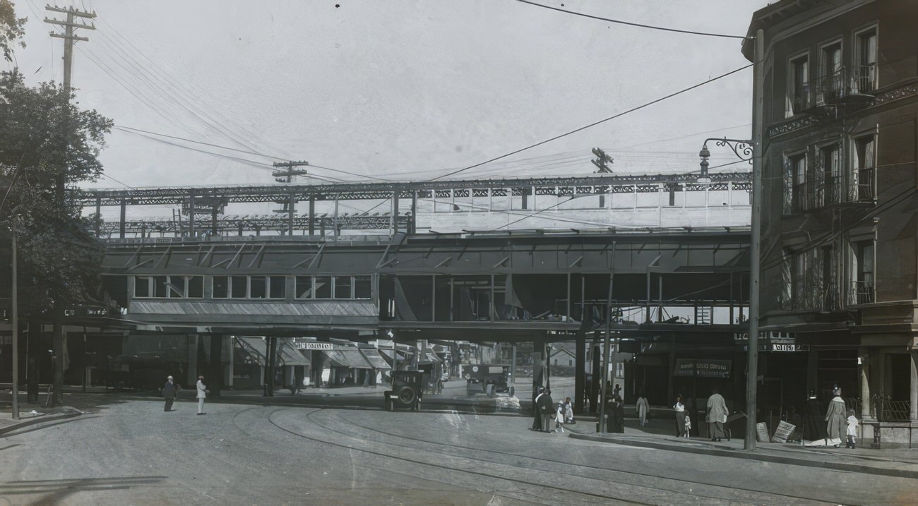
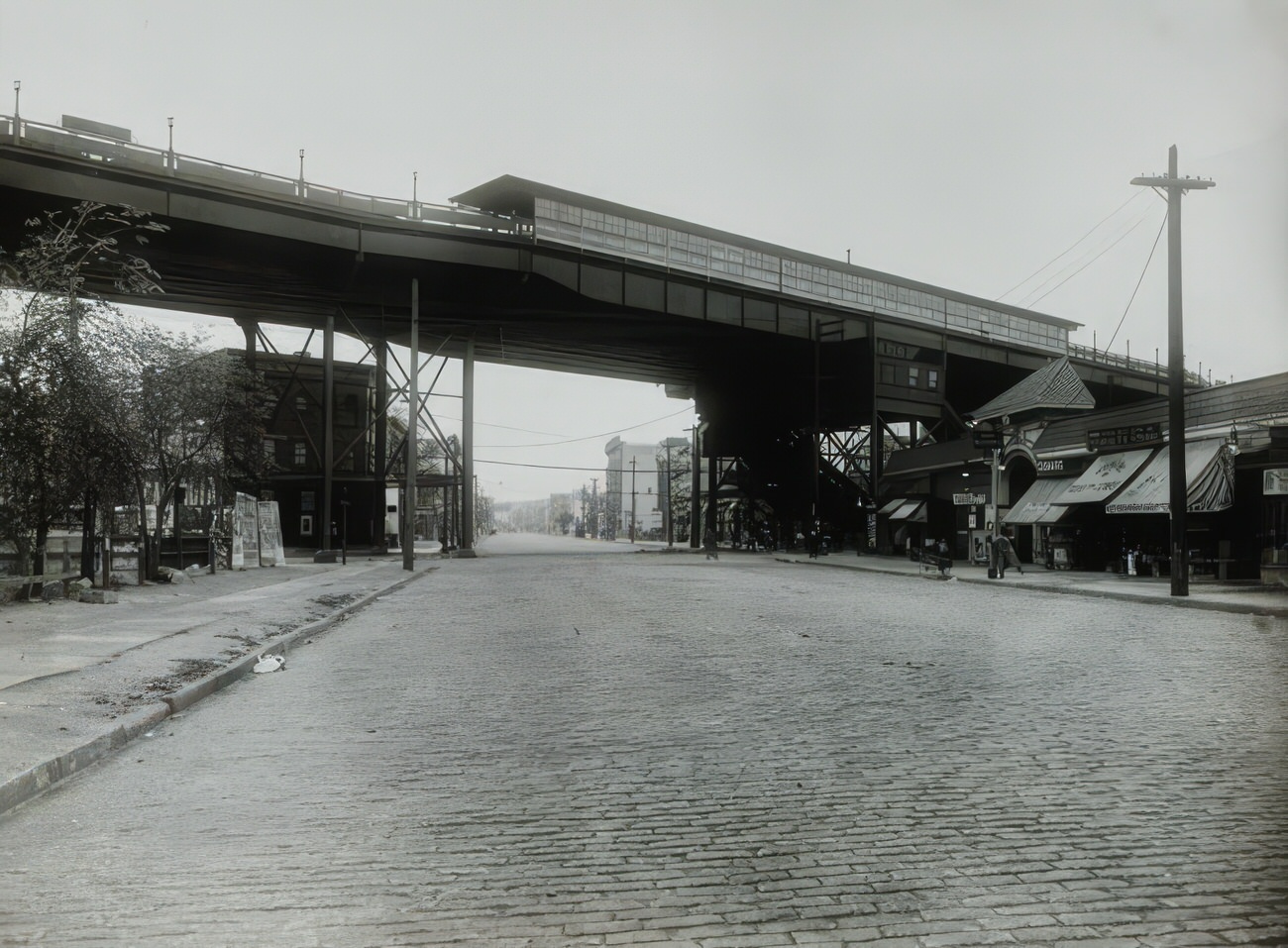
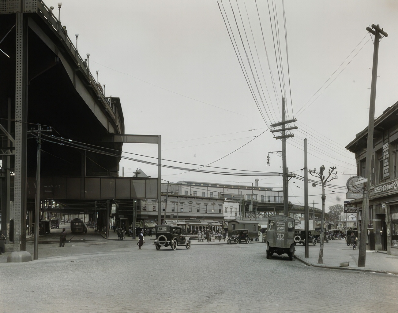
The Rise of Transportation

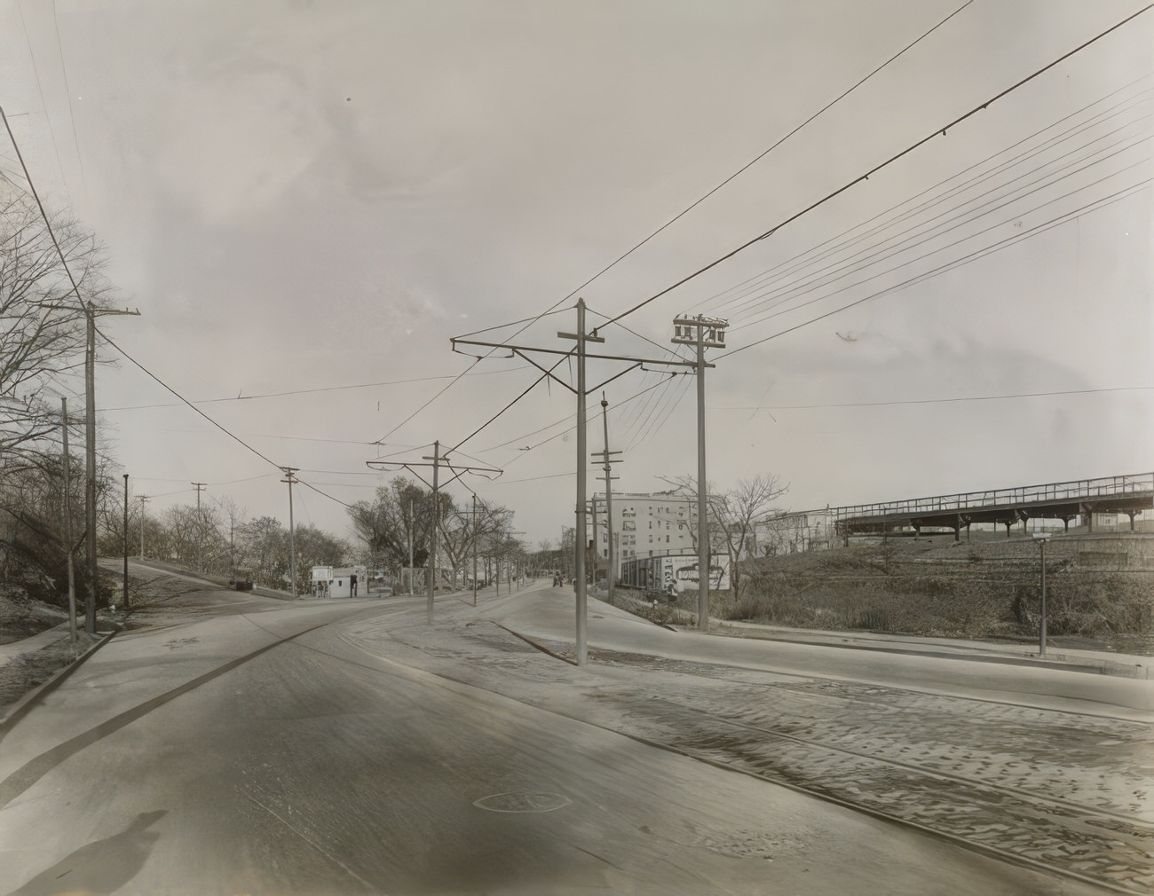
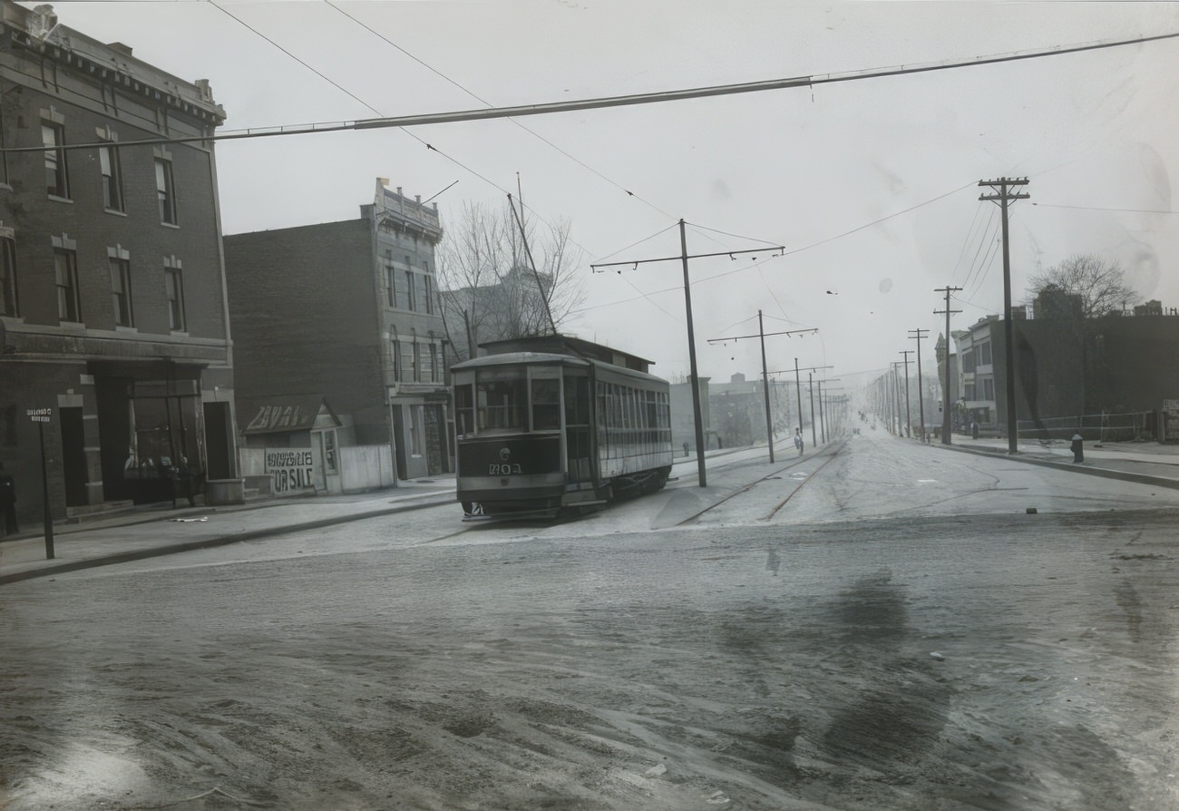
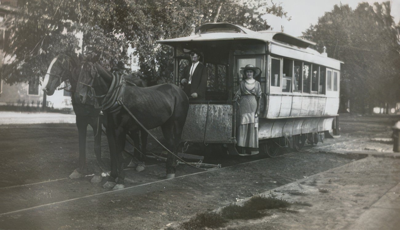
The early 1910s saw the arrival of the IRT subway, revolutionizing transportation and further fueling the Bronx’s growth. Stations became bustling hubs, connecting neighborhoods and offering a glimpse into the wider city. Streetcars also played a crucial role, their clanging bells announcing their arrival and departure.

#4 Proposed bridge at E. 174th Street and Bronx River, 1910s

#6 Hunts Point Development, view along west bulkhead, September 1915.

#7 183rd Street and Washington Avenue, Parochial School exterior during construction, September 1914, for Our Savior Roman Catholic School.

#8 Crystal Chemical Co., 1919, employees outside main office and labs.

#9 Troops with motorbike in Van Cortlandt Park, circa 1915.

#12 Elevated Station and Kingsbridge Armory, circa 1915.

#18 Residence, William Muschenheim, Riverdale, circa 1911.

#19 Residence, William Muschenheim, Riverdale, circa 1911.

#23 Residence, William Muschenheim, Riverdale, circa 1911.

#25 Apartment house on Broadway and 245th Street, circa 1910.

#26 East 177th Street looking west from Metcalf Avenue, circa 1915.

#29 Bronx Park Zoo, North approach from esplanade, circa 1910.

#30 East 148th Street and Courtlandt Avenue, Provident Loan Society of New York, circa 1910.

#31 Prospect Avenue and Macy Place, Prospect Avenue M.E. Church, circa 1910.

#32 3144-3146 Perry Avenue, general exterior, circa 1910.

#33 Mapes Avenue and northwest corner of Tremont Avenue, general exterior, circa 1910.

#34 1750 Webster Avenue at the corner of Ittner Place, Tremont Mills, circa 1910.

#35 3rd Avenue and 150th Street, McCrorey Building, circa 1910.

#36 3rd Avenue near 150th Street, Piser Bros. Furniture Store interior, circa 1910.

#37 Bathgate Avenue, Fordham University Medical College, circa 1910.

#38 Walnut Avenue at the corner of East 134th Street, Phillips Jones Shirt Factory, circa 1910.

#39 Melrose Avenue at the corner of East 160th Street, general exterior, circa 1910.

#40 164th Street and Park Avenue, Taxpayer, circa 1910.

#41 East 163rd Street and Brook Avenue, Heinz Warehouse, circa 1910.

#42 Montefiore Home, bird’s-eye view from northwest corner, circa 1910.

#43 Gun Hill Road and Bainbridge Avenue, Montefiore Home, circa 1910.

#44 East 175th Street and Marmion Avenue, Apartment house, circa 1915.

#45 Kingsbridge Road and Jerome Avenue, New York Armory, July 1914.

#46 1815 Webster Avenue, Northern Union Gas Co. storefront, circa 1915.

#47 588 Fox Street at the southeast corner of St. John’s Avenue, general exterior, circa 1915.

#48 New York University, Hall of Philosophy, circa 1915.

#49 Westchester Avenue Station, N.Y., N.H. and H.R.R., circa 1915.

#50 23-31 Field Place and Grand Concourse, Apartment house, circa 1915.

#51 East 181st Street and Devoe Avenue, Fire Alarm Telegraph Buildings, circa 1915.

#52 Gun Hill Road, Base Hospital No. 1, north section looking east, December 1917.

#53 Gun Hill Road, Base Hospital No. 1, southeast corner section looking east, December 1917.

#54 Gun Hill Road, Base Hospital No. 1, north section looking east, December 1917.

#55 6065 Broadway opposite Van Cortlandt Park, Keen Apartment House, circa 1918.

#56 Kingsbridge Road and Grand Concourse, Institute for the Destitute, exterior, circa 1918.

#58 183rd Street and Washington Avenue, Parochial school, circa 1915.

#60 Hunts Point Development, bird’s-eye view looking west, September 1915.

#61 183rd Street and Washington Avenue, Parochial school, exterior construction, July 1914.

#62 183rd Street and Washington Avenue, Parochial school, exterior construction, September 1914.

#63 183rd Street and Washington Avenue, Parochial school, construction, August 1914.

#64 Park Avenue and 159th Street, Engine House Number 71, circa 1915.

#65 163rd Street, Y.M.C.A., Union Branch, general view of pool, looking south, circa 1915.

#66 Horace Mann School cafeteria, view of kitchen, circa 1915.

#68 De Kalb Avenue, Bronx, Power House, interior, circa 1915.

#69 2056-2062 Davidson Avenue north of Burnside Avenue, General exterior, circa 1917.

#70 New York University, distant view from subway station at 215th Street, circa 1918.

#71 147th Street and Willis Avenue, Dollar Savings Bank, circa 1918.

#72 Belmont Mausoleum at Woodlawn Cemetery, circa 1910.

#73 Armory at Kingsbridge Road and Jerome Avenue, 1914.

#74 Exterior of Pelham Heath Inn at 1500 Pelham Parkway, circa 1917.

#75 Biograph Co. office Building and Turner Co. building, possibly at 796 East 176th Street, circa 1913.

#76 Parochial School at Hoe Avenue and 167th Street, circa 1915.

#77 Parochial School under construction at 183rd Street and Washington Avenue, 1914.

#78 Central Union Gas Company at 148th Street and Harlem River, circa 1917.

#79 Central Union Gas Company at 148th Street and Harlem River, circa 1917.

#80 William Muschenheim’s residence in Riverdale, N.Y., circa 1911.

#81 Workers in Crystal Chemical Co.’s laboratory at 134th Street & Willis Avenue, 1919.

#82 William Muschenheim’s residence in Riverdale, N.Y., circa 1911.

#83 Academy of Mount St. Vincent grounds in Riverdale, circa 1915.

#84 Twenty Third Ward Bank at 137th Street & 3rd Avenue, also housing the Bronx Board of Trade and Piano Club of New York, circa 1916.

#86 Group portrait of Crystal Chemical Co. employees outside main office and laboratories at 134th Street & Willis Avenue, 1919.

#87 Drive and path at William Muschenheim’s estate in Riverdale, N.Y., circa 1911.

#88 Workers in the storeroom of Crystal Chemical Co. at 134th Street & Willis Avenue, 1919.

#89 Female students in graduation gowns at Academy of Mount St. Vincent, Riverdale, 1915.

#90 Residence of William Muschenheim in Riverdale, N.Y., circa 1911.

#91 Troop maneuvers in what is likely Van Cortlandt Park, circa 1915.

#92 A streetcar and apartment buildings, likely in the Bronx, circa 1915.

#93 Area near Kingsbridge Armory, showing a road and buildings, circa 1915.

#94 The train station at Allerton Ave. and Olinville Ave. in Williamsbridge, Bronx, circa 1915.

#95 Intersection of White Plains Rd. and Gun Hill Rd. with elevated railroad tracks, circa 1915.

#96 White Plains Rd. and Gun Hill Rd. intersection in Williamsbridge, Bronx, showing elevated railroad tracks, circa 1915.

#97 White Plains Rd. looking north at Rosewood St. with elevated railroad tracks, circa 1915.

#98 East 213th Street and White Plains Rd. intersection with elevated tracks, circa 1915.

#99 213th St. and White Plains Rd. intersection with elevated tracks and shops, circa 1915.

#100 Elevated railroad station at 233rd St. and Byron Ave., with cars and people, circa 1915.

#101 Elevated railroad along White Plains Rd. at 237th St. with street signage, circa 1915.

#102 Construction of elevated tracks along White Plains Rd. between 238th — 239th Streets, circa 1915.

#103 Streetcar and tracks along Broadway at 238th St., circa 1915.

#104 Street next to Kingsbridge Armory with elevated railroad station in the background, 1915.

#105 Row of houses with awnings near Kingsbridge Armory on Grand Street at W. 192nd St., 1915.

#106 Corner of West 192nd Street and University Avenue, showing an apartment building, 1915.

#108 Surroundings of High Bridge showing water tower and railroad tracks, circa 1910.

#111 Southern Boulevard, south to 149th Street, from Transit System Survey, 1914.

#112 Woodstock Library at 761 East 160th Street, New York Public Library, 1912

#119 View from Huber property on Anderson Avenue, circa 1915.

#121 East 180th Street, Belmont to Hughes Avenues, circa 1915.

#123 Construction of El Road at Bergen Avenue and 147th Street, 1916.

#125 Boscobel Avenue (now Edward L. Grant Highway) showing Huber property on right and new subway station on left, circa 1915.

#132 Tremont Avenue and Commonwealth Avenue, circa 1915.

#133 Hunts Point, Coster Street near Spofford Avenue, circa 1917.

#139 Fordham Road and Jerome Avenue, looking East, 1916.

#142 Building on Fordham Road, possibly part of Fordham University, 1910.

#144 Southeast corner of 165th Street and Hoe Avenue, 1913.

#147 Huber property looking south on Jerome Avenue, circa 1910.

#148 Huber property from viaduct showing apartment houses and new subway, circa 1910.

#155 Two Mayflower Chairs in the Faile Mansion, 1915.

#159 Looking north on Loring Place from Burnside Avenue, circa 1915.

#160 East Tremont and Morris Park Avenue, a relatively undeveloped section of the Bronx, circa 1915.

#161 Morris Park Avenue and Bear Swamp Road (now called Bronxdale Avenue), circa 1910.

#163 Shakespeare Avenue showing Huber property and new subway, circa 1915.

#173 Clason Point Military Academy, also called La Salle Military Academy, circa 1915.

#175 Shakespeare Avenue, looking north from 166th Street, circa 1915.

#177 Southwest corner of Southern Blvd. and Westchester Avenue, 1912.

#179 Southwest corner of Southern Blvd. and 163rd Street, circa 1910.

#180 Southeast corner of Southern Blvd. and Tremont Avenue, 1913.

#182 Southern Boulevard and 163rd Street, circa 1910.

#183 Southern Boulevard and Elsmere Place, looking northwest, 1913.

#184 Southern Boulevard between 163rd Street and Westchester Avenue, circa 1910.

#188 Northwest corner of 3rd Avenue at 149th Street and Melrose Avenue, circa 1915.

#189 Northeast corner of 3rd Avenue and 149th Street, circa 1910.

#190 Northeast corner of 3rd Avenue and Westchester Avenue, circa 1910.

#191 Southeast corner of Westchester Avenue and 3rd Avenue, 1910s

#199 Northeast and northwest corners of Tremont Avenue and Mapes Avenue, 1913.

#200 Houses on Tyndall Avenue and 261st Street, circa 1912.

#201 Houses on Tyndall Avenue and 261st Street, circa 1912.

#202 Corner of Burnside Avenue and University Avenue, circa 1910.

#203 University Avenue and Andrews Avenue, circa 1910.

#204 Corner of Burnside Avenue and University Avenue, circa 1915.

#205 Unidentified section of University Avenue, circa 1915.

#206 New York University Bronx campus, now the Bronx Community College, circa 1915.

#207 University Avenue, north from Burnside Avenue, 1914.

#209 New York University, Bronx campus, now the Bronx Community College, circa 1910.

#210 New York University, Bronx campus, now Bronx Community College, circa 1910.

#213 Van Cortlandt Park from 240th Street, circa 1915.

#214 Virginia Avenue looking north to Westchester Avenue and 177th Street, circa 1915.

#222 Intersection of Westchester Avenue and Tremont Avenue, circa 1915.

#223 Southeast corner of 3rd Avenue and Westchester Avenue, 1913.

#226 Westchester Avenue and St. Lawrence Avenue, circa 1915.

#227 Looking south from Westchester Avenue to Southern Boulevard, 1913.

#230 Looking north from St.Lawrence Avenue to Westchester Avenue, circa 1915.

#234 Corner of Westchester Avenue and Evergreen Avenue, circa 1915.

#235 Northeast corner of 148th Street and Willis Avenue, circa 1910.

#237 Northeast corner of Willis Avenue and 148th Street, 1913.

#240 Looking east on 261st Street from Fieldston Road, circa 1915.

#244 Double Engine and Hook and Ladder Co, circa 1915.

#246 The Sevilla Home for Children, rear view, Hunts Point, 1910.

#252 New York, New Haven & Hartford Railroad Station, City Island, 1915.

#253 Officers’ Club, U.S. Army General Hospital No. 1, Williamsbridge, 1918.

#254 Wards and Officers’ Clubs, U.S. Army Hospital No. 1, Williamsbridge, 1918.

#255 Washington Ave, south from Tremont Ave, New York, circa 1910.

#256 Skating in Van Cortlandt Park, New York, circa 1910.

#257 Ruin of the “Old Sugar House” Prison, now in Van Cortlandt Park, New York, circa 1910.

#258 The Campus and Chancellor’s Residence, University Heights, 1915.

#259 American Bank Note Co.’s Plant, Tiffany St., Bronx, circa 1911.

#260 Apartment on E. 180th St., Daly to Honeywell Aves, Bronx, circa 1913.

#261 Haven Hall, Northern Ave. & 180th St., circa 1913.

#262 Nathan Hale Apartments, 181st St. & Washington Ave., circa 1913.

#263 Bronx Municipal Building, 3rd Avenue & 177th St., circa 1910.

#265 Dollar Savings Bank, 3rd Avenue and 147th Street, Bronx, circa 1919.

#266 Park Avenue and 180th Street, Borden’s Condensed Milk Co., construction, 1914.

#267 4360 Park Avenue at 180th Street, Borden’s Condensed Milk Company Building, construction, 1914.

#269 2514 Creston Avenue north of Fordham, Apartment house main hall, circa 1915.

2514 Creston Avenue North Of Fordham, Apartment House Main Hall, Circa 1915.

-1 Points
Upvote Downvote

#270 House at Fulton Avenue and 169th Street, circa 1918.

House At Fulton Avenue And 169Th Street, Circa 1918.

-1 Points
Upvote Downvote

#272 Webb Ship Building Academy in the Bronx, circa 1913.

Webb Ship Building Academy In The Bronx, Circa 1913.

-1 Points
Upvote Downvote

#275 Huber property showing subway station and site of El station, circa 1910.

Huber Property Showing Subway Station And Site Of El Station, Circa 1910.

-1 Points
Upvote Downvote

#281 The Hutchins Homestead in Riverdale, circa 1910.

The Hutchins Homestead In Riverdale, Circa 1910.

-1 Points
Upvote Downvote

#283 Berrian Farmhouse on Spuyten Duyvil Boulevard, circa 1915.

Berrian Farmhouse On Spuyten Duyvil Boulevard, Circa 1915.

-1 Points
Upvote Downvote

#284 Thieriot Avenue looking from Westchester Avenue, circa 1915.

Thieriot Avenue Looking From Westchester Avenue, Circa 1915.

-1 Points
Upvote Downvote

#286 Underhill Avenue, near Randall Avenue, circa 1915.

Underhill Avenue, Near Randall Avenue, Circa 1915.

-1 Points
Upvote Downvote

#291 The old well at Gouverneur Morris house, circa 1910.

The Old Well At Gouverneur Morris House, Circa 1910.

-1 Points
Upvote Downvote

#292 The old well at Gouverneur Morris House, Morrisania, circa 1910.

The Old Well At Gouverneur Morris House, Morrisania, Circa 1910.

-1 Points
Upvote Downvote

Written by Frederick Victor

I've been a history writer for a while. I love to explore historical sites because they connect us to our past. They make us feel like we are part of something much bigger.

Leave a Reply

Comment using name and email. Or Register an account

GIPHY App Key not set. Please check settings