

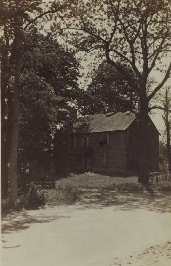
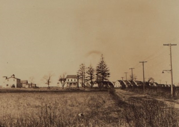
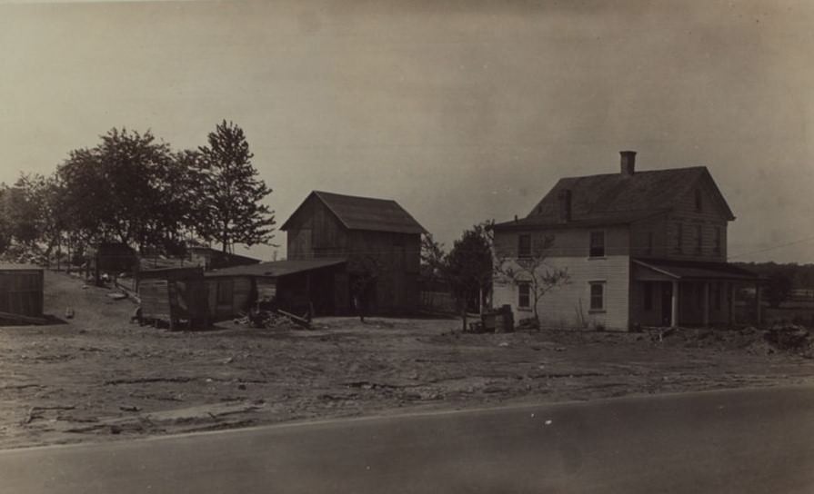
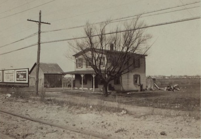
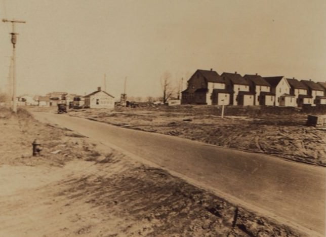
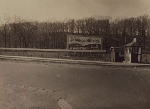
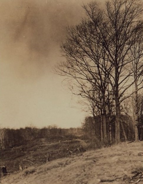
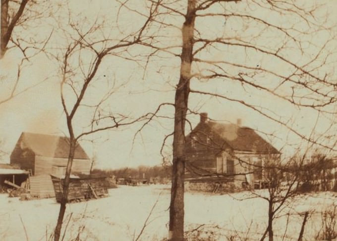
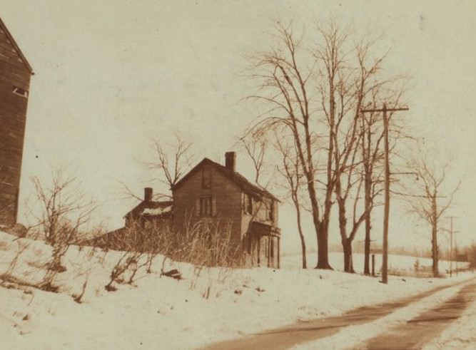
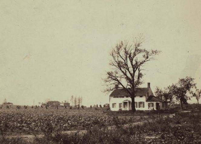
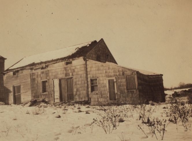
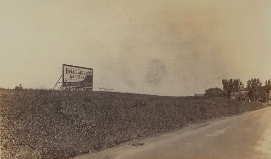
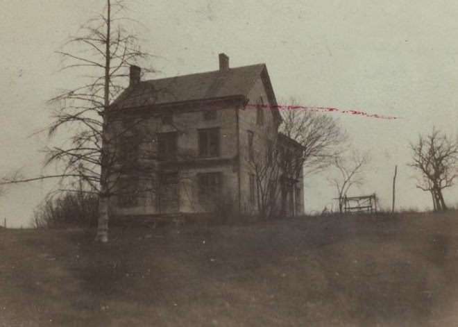
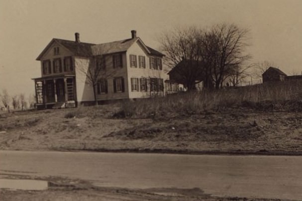
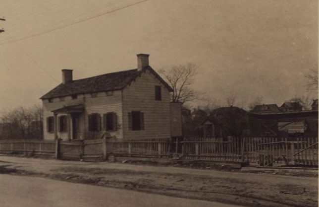
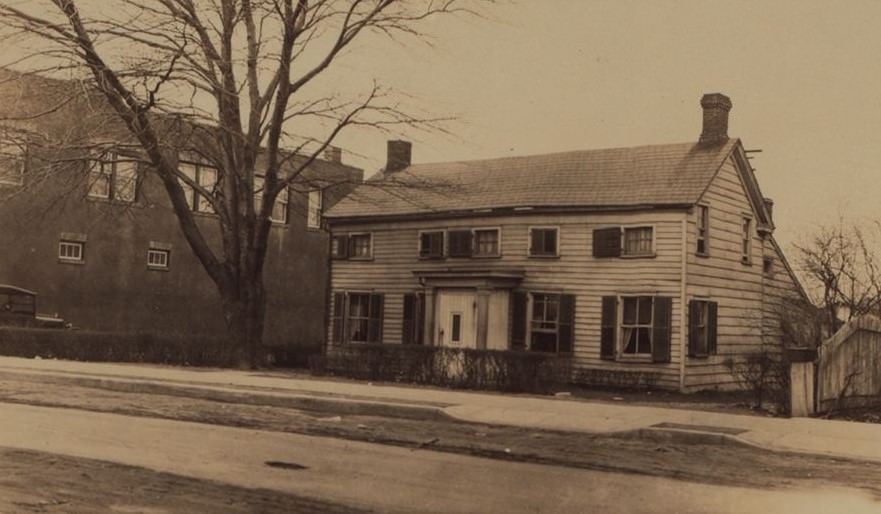
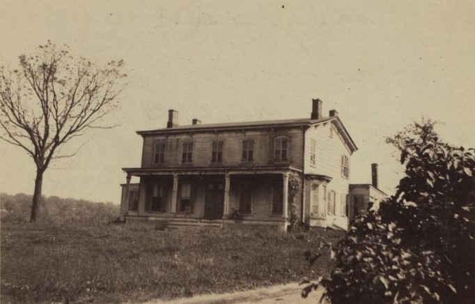
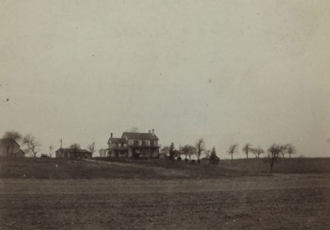
In the 1920s, Springfield Boulevard was a roadway of transition, cutting a long path through a rapidly developing section of Queens. Much of its length was still bordered by open spaces, with acres of active farmland and stretches of woodland visible from the road. The decade marked the beginning of a significant shift, as real estate developers began carving these large land holdings into lots for new homes.
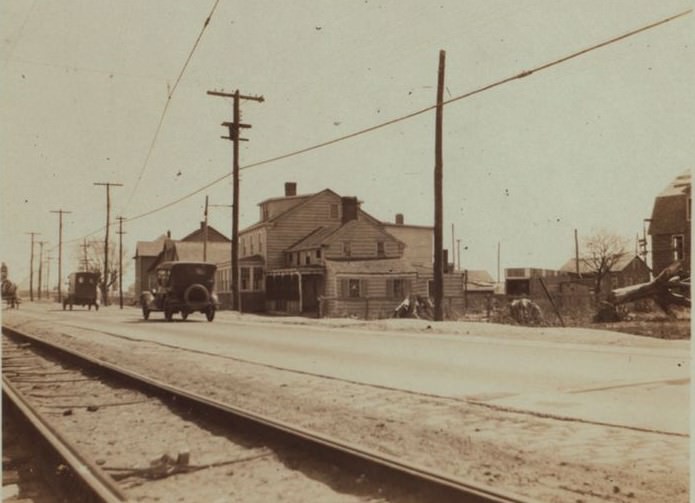
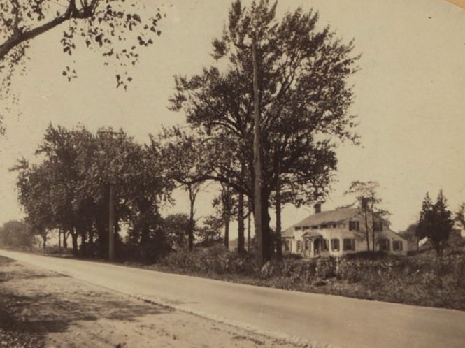
The boulevard served as a primary north-south artery, connecting communities that were experiencing a population boom. Automobiles, once a novelty, became increasingly common, sharing the road with the horse-drawn wagons of local farmers taking their produce to market. The road itself was being improved in sections, moving from dirt and gravel paths to more modern paved surfaces to handle the growing traffic.
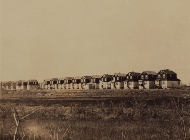
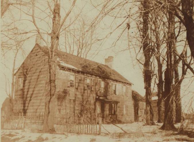
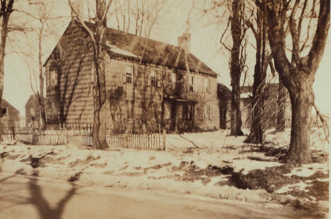
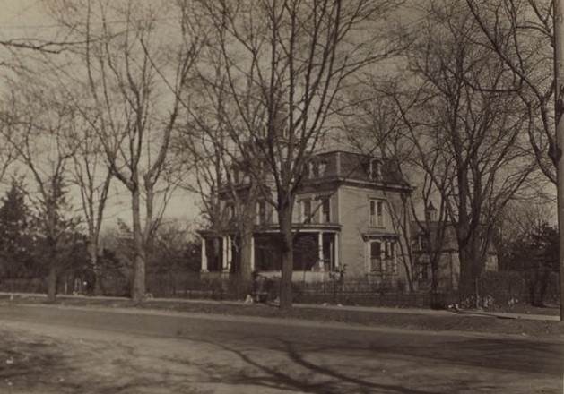
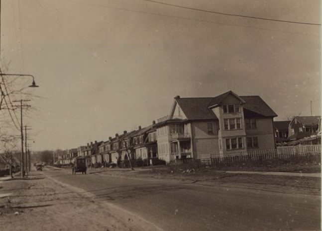
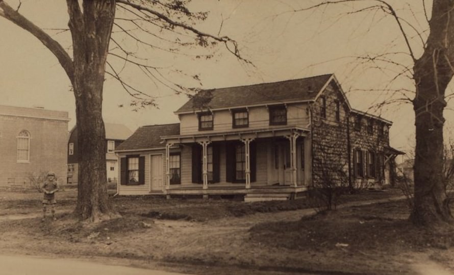
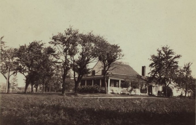
Along the route, new suburban communities like Queens Village and Hollis were expanding directly off the boulevard. These neighborhoods featured newly constructed single-family homes in styles like Tudor revival and colonial revival. For families moving from the more crowded boroughs of Brooklyn and Manhattan, these areas offered fresh air and the promise of a backyard. Springfield Boulevard was their direct link to other parts of Long Island and the rest of New York City.
Read more
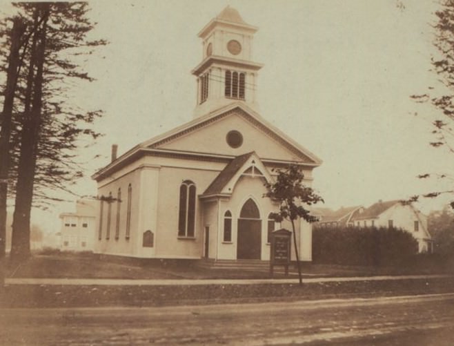
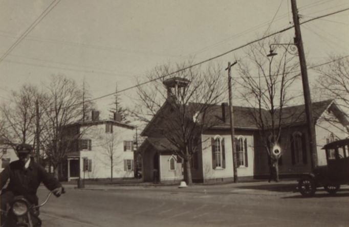
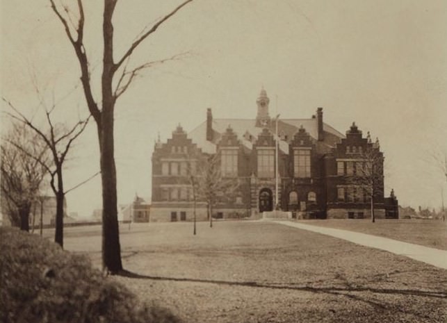
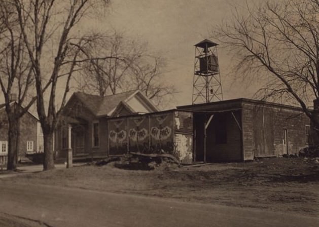
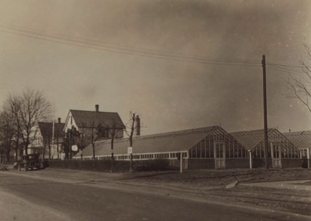
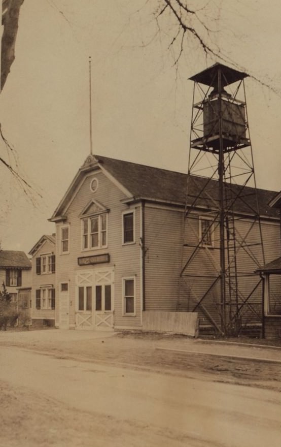
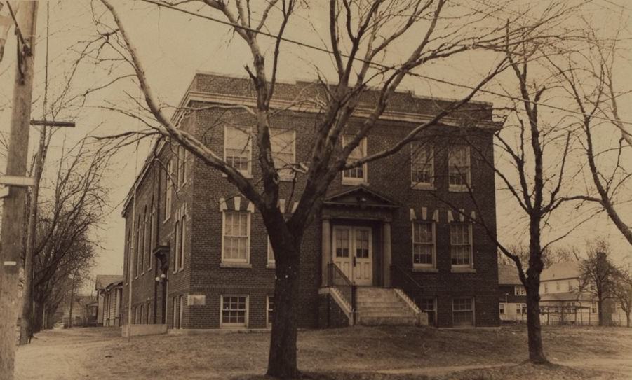
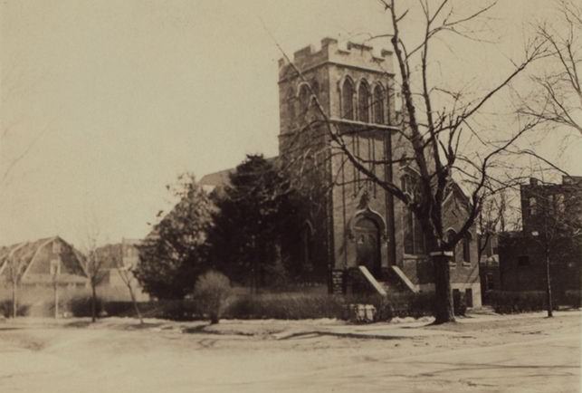
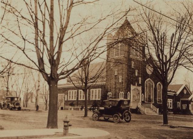
While largely residential and semi-rural, the boulevard was also home to important local institutions. Small clusters of commercial buildings began to appear at key intersections, featuring grocery stores, service stations for the new motorists, and other small businesses serving the needs of the growing neighborhoods.
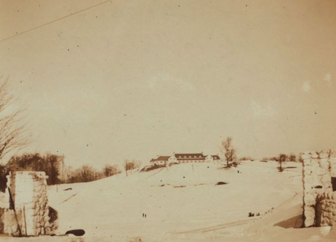
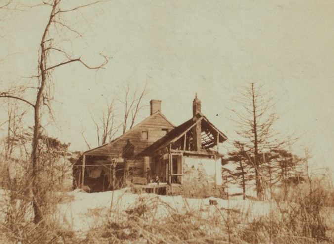
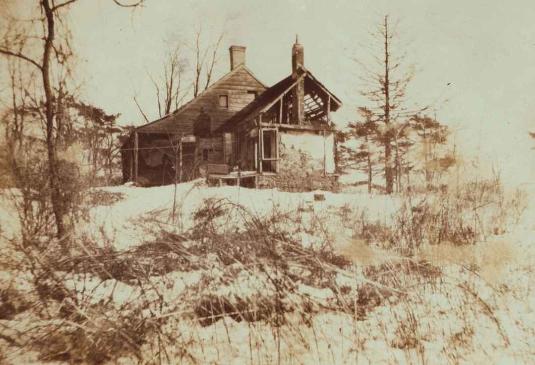
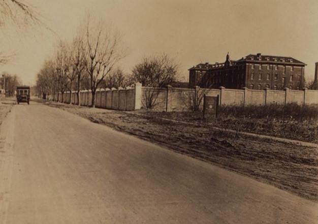
A major landmark taking shape along the boulevard during this period was the Creedmoor State Hospital. The institution underwent a massive expansion in the 1920s to serve the city’s growing need for psychiatric care. Dozens of new buildings were constructed on its large campus, which bordered the boulevard. This made Creedmoor a significant presence and a major employer in the area.
Further south, the boulevard ran near the far western edges of Belmont Park, the famous horse racing track. On race days, the area saw an increase in traffic as people traveled to and from the events. The roadway was more than just a local street; it was part of a larger network that was beginning to define the shape of eastern Queens.
GIPHY App Key not set. Please check settings