

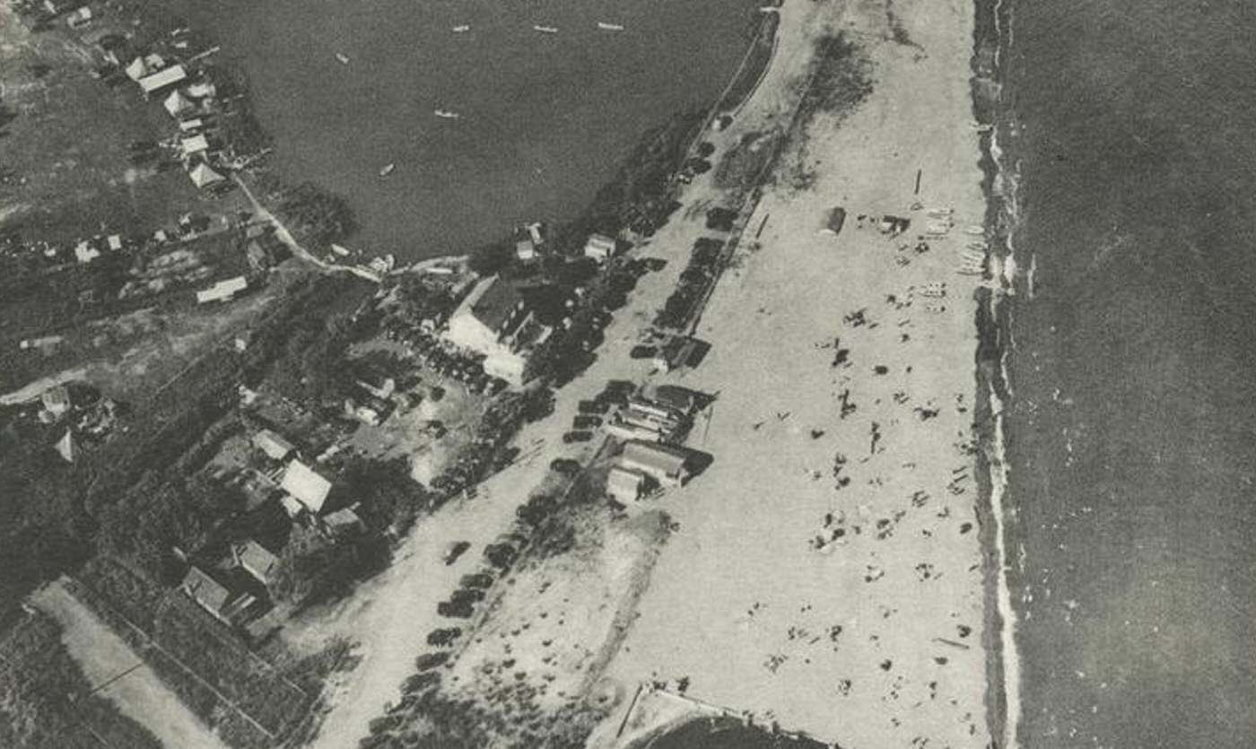
The South Shore of Staten Island in the early twentieth century was a world apart from the dense neighborhoods of New York City. Stretching along the coastline of Raritan Bay from the vicinity of Great Kills down to Tottenville at the island’s southernmost tip, this area was largely undeveloped, characterized by rural landscapes and a life deeply connected to the sea.
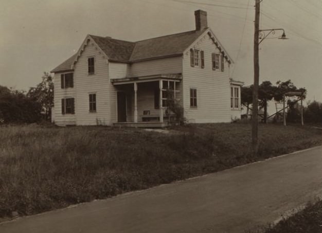
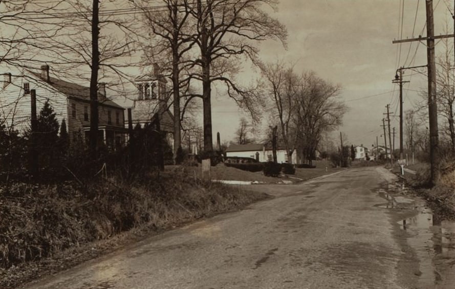
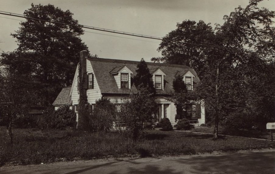
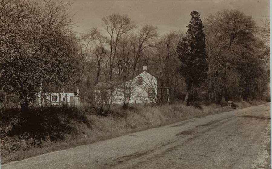
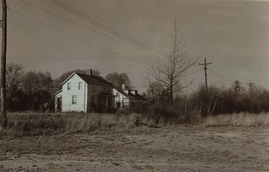
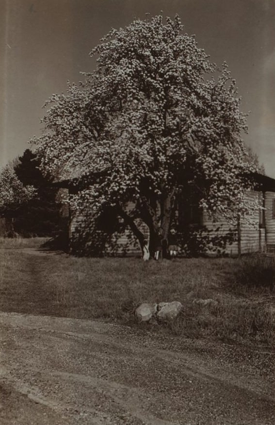
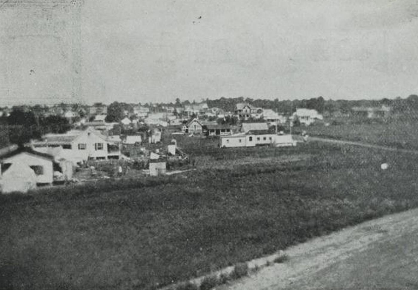
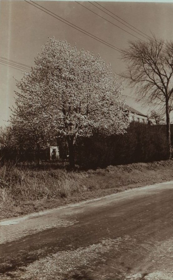
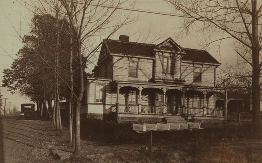
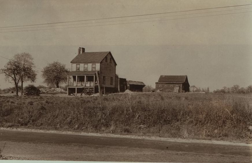
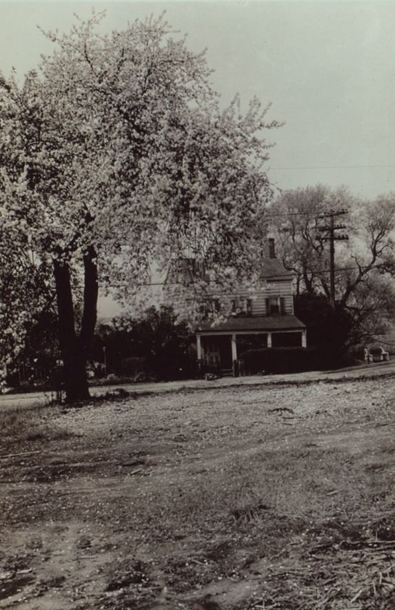
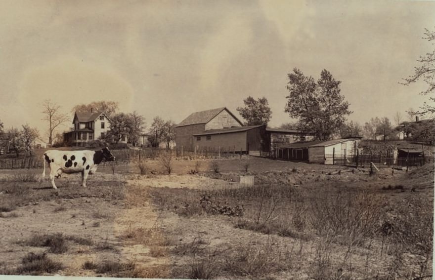
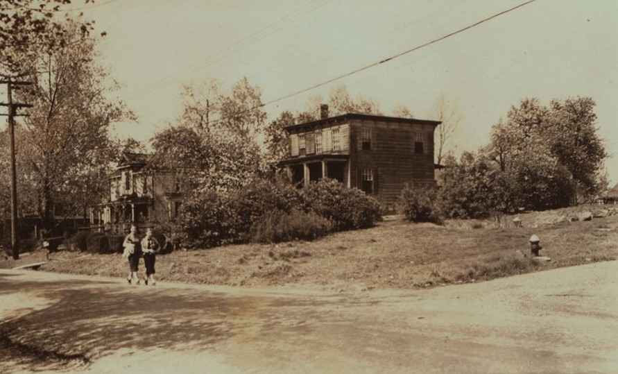
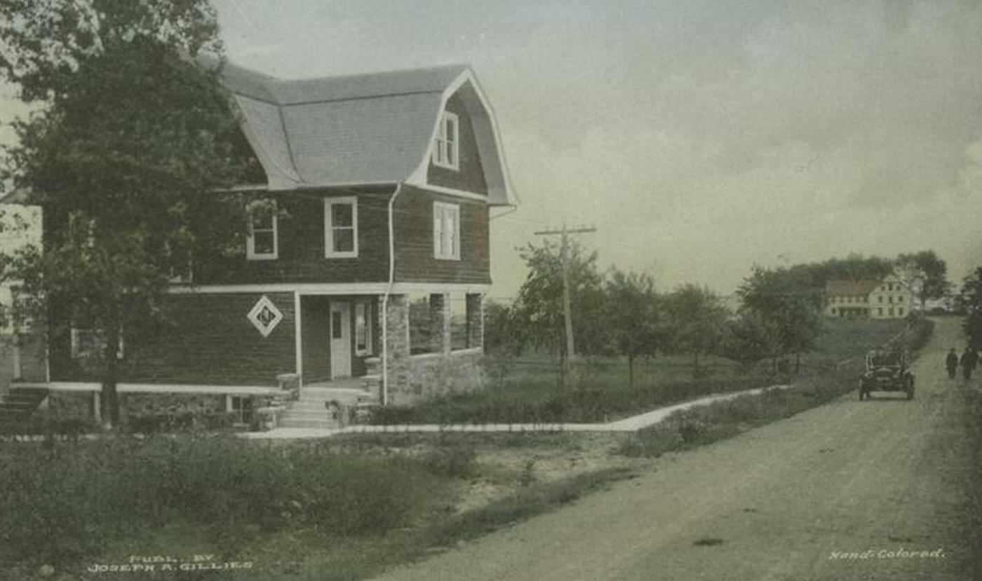
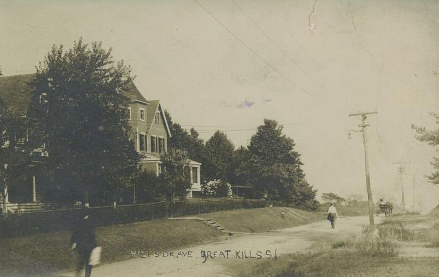
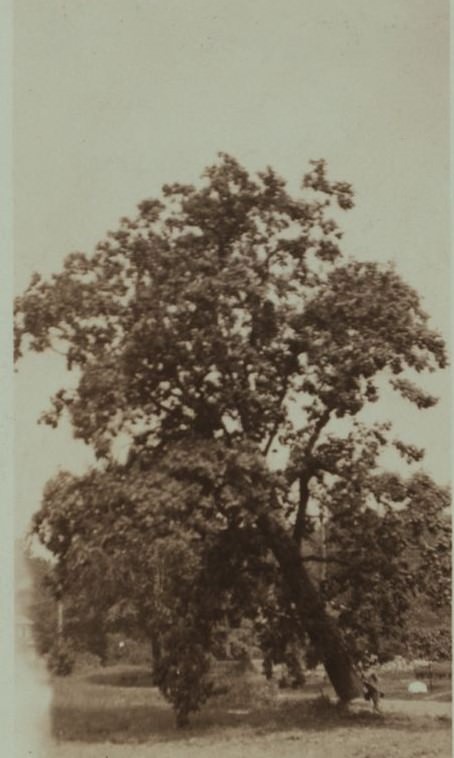
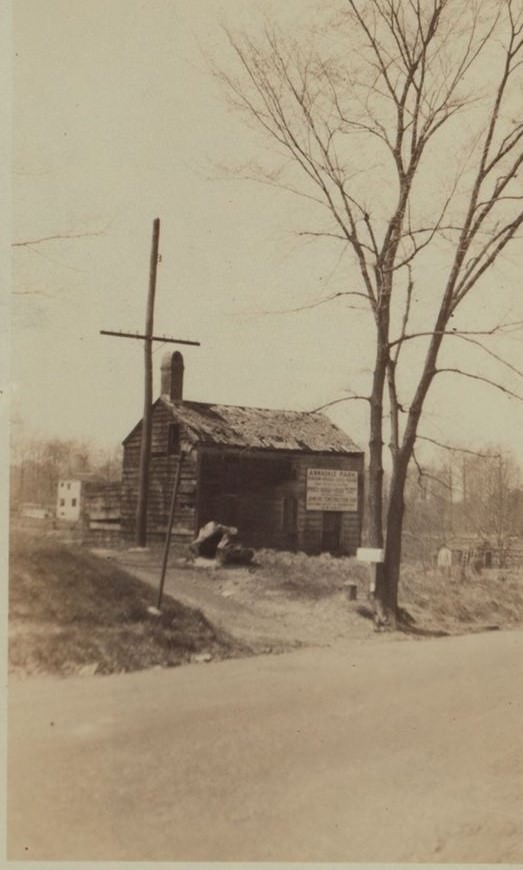
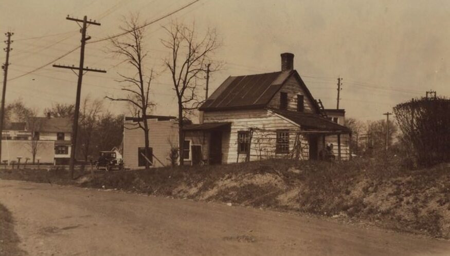
Vast sections of the South Shore consisted of farmland, woodlands, and coastal marshes. Compared to the communities on the North Shore or even the growing villages of the East Shore, the population here was sparse. Homes and settlements were scattered, separated by considerable open space. This gave the South Shore a feeling of remoteness and quiet.
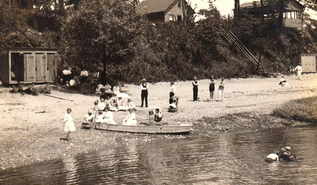
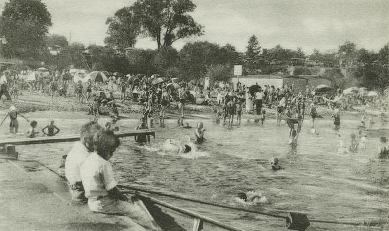
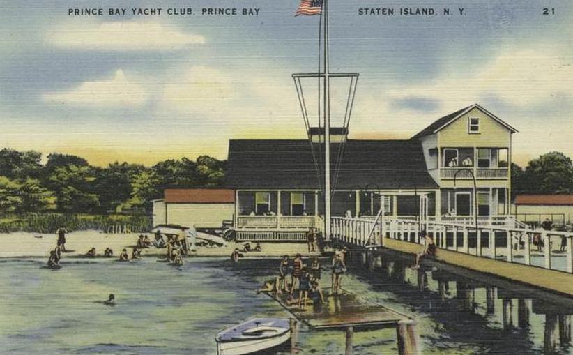
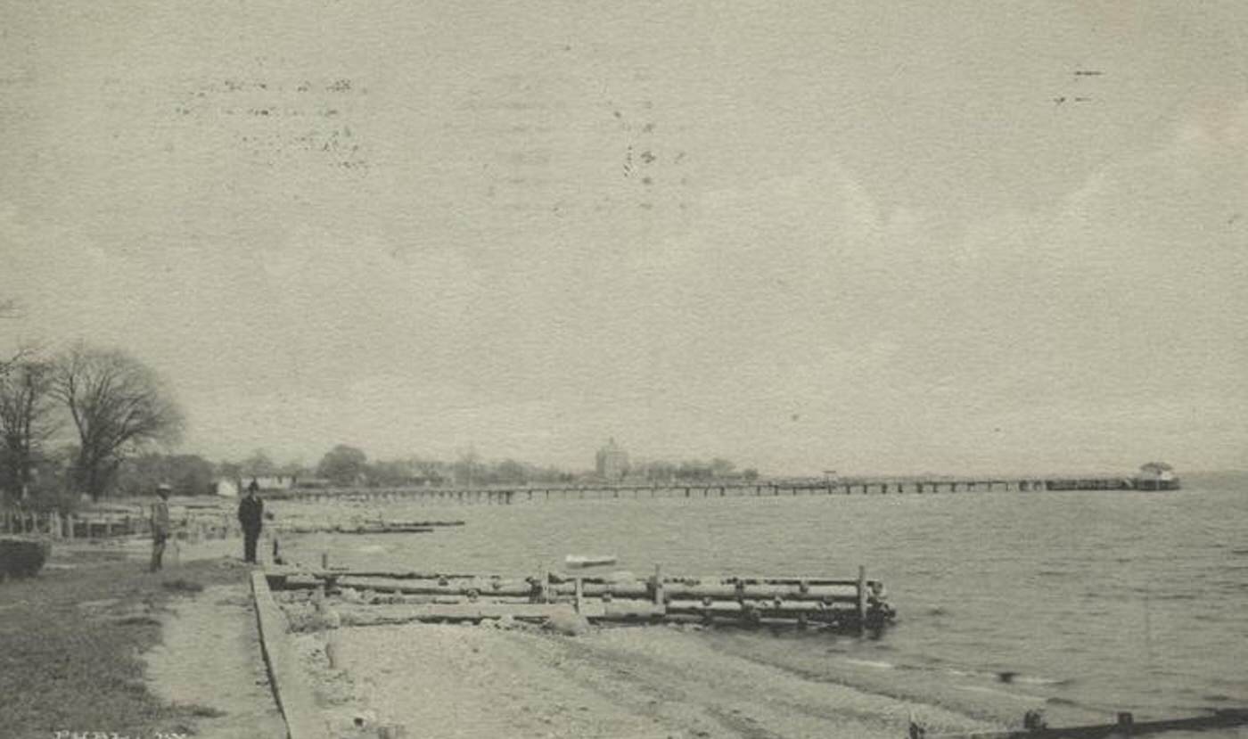
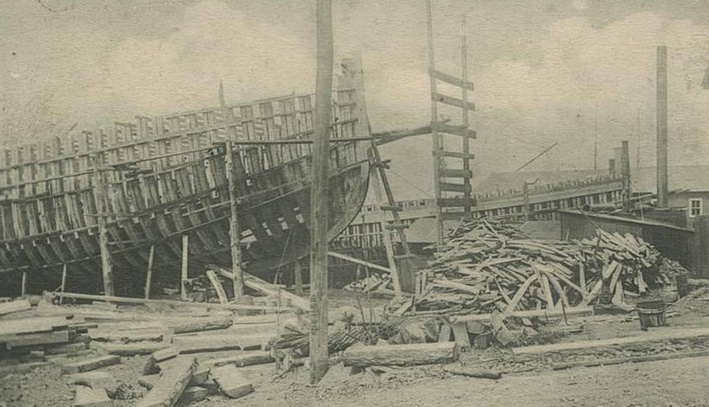
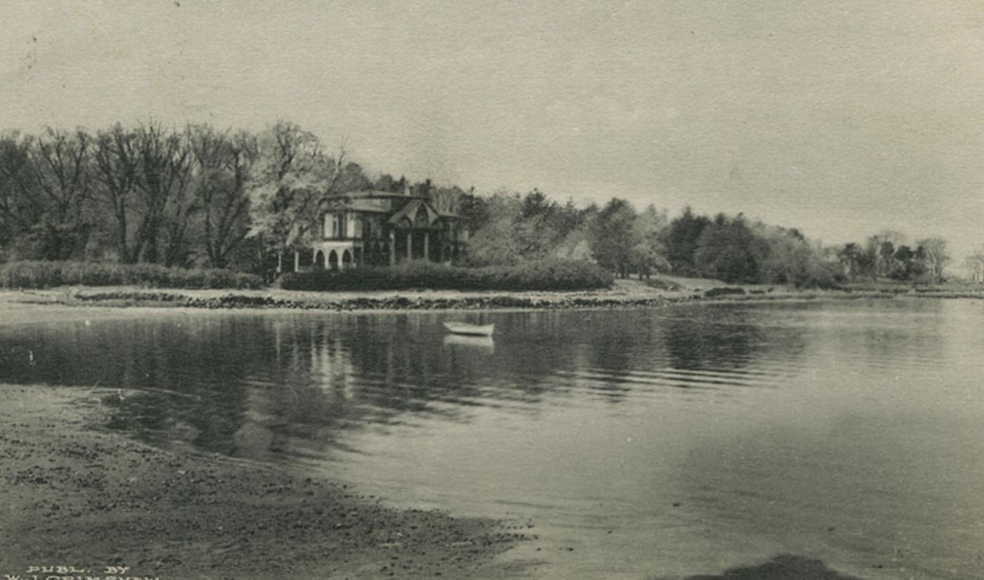
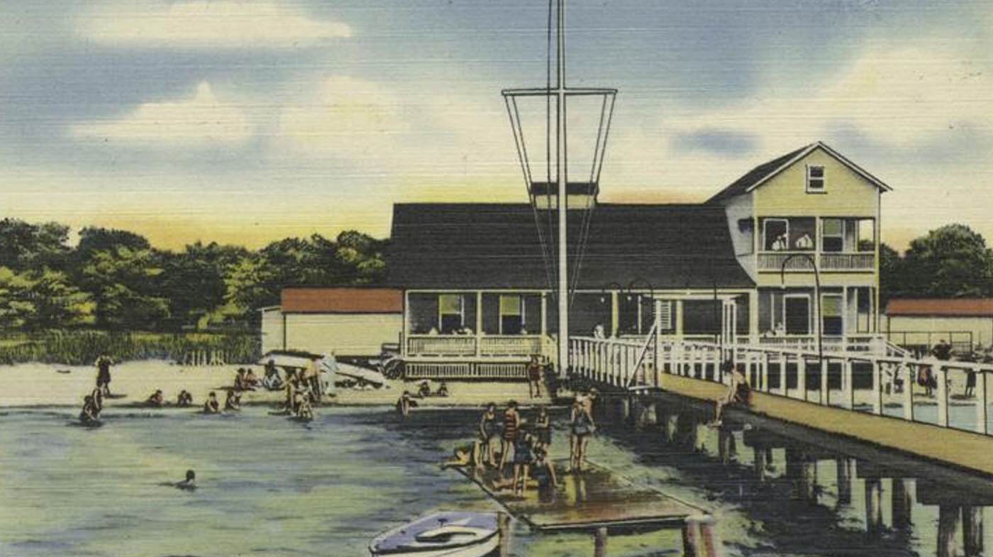
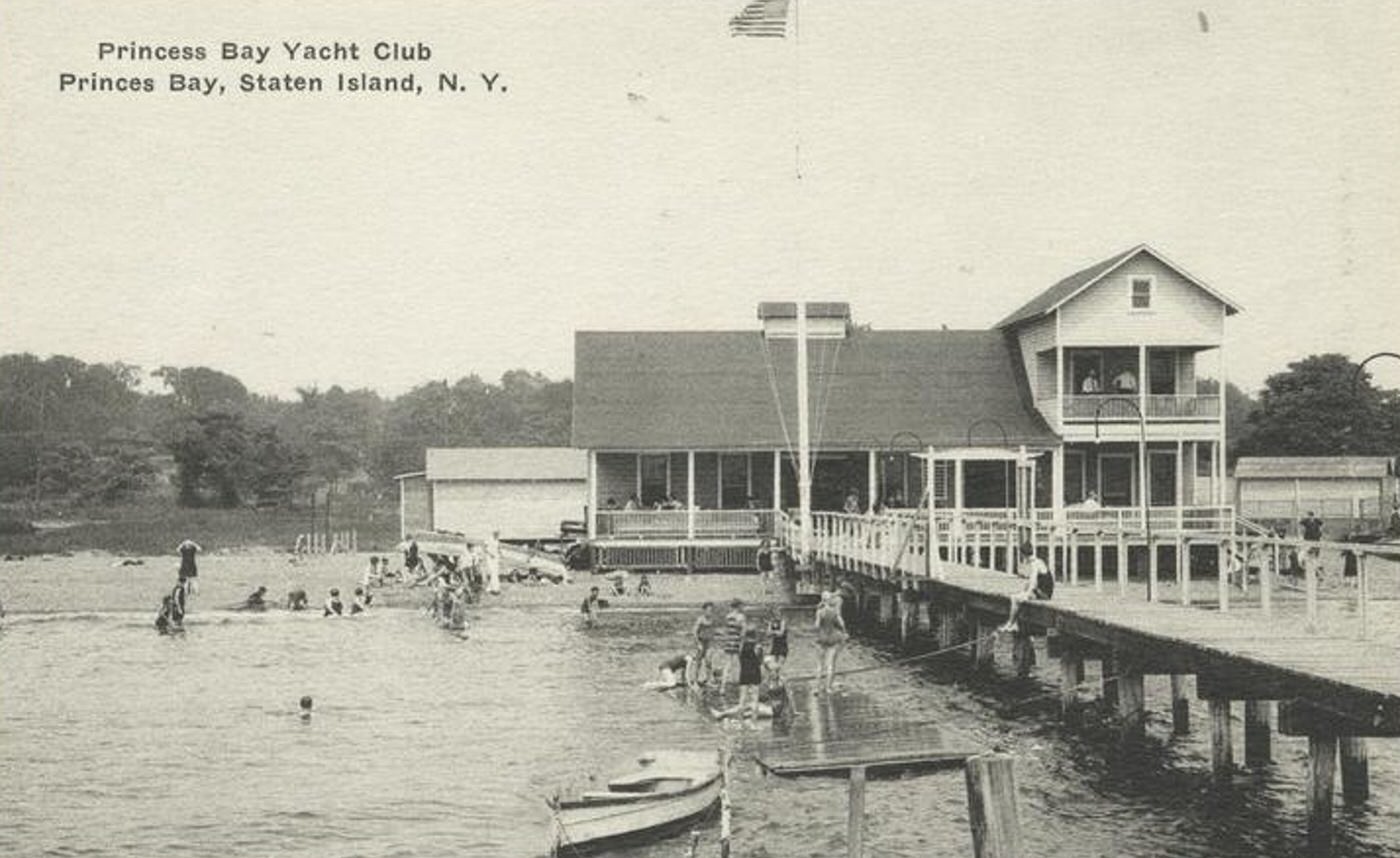
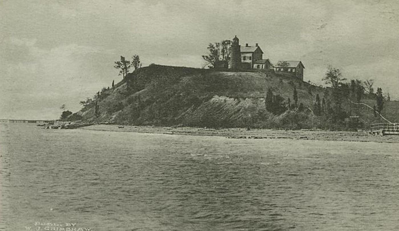
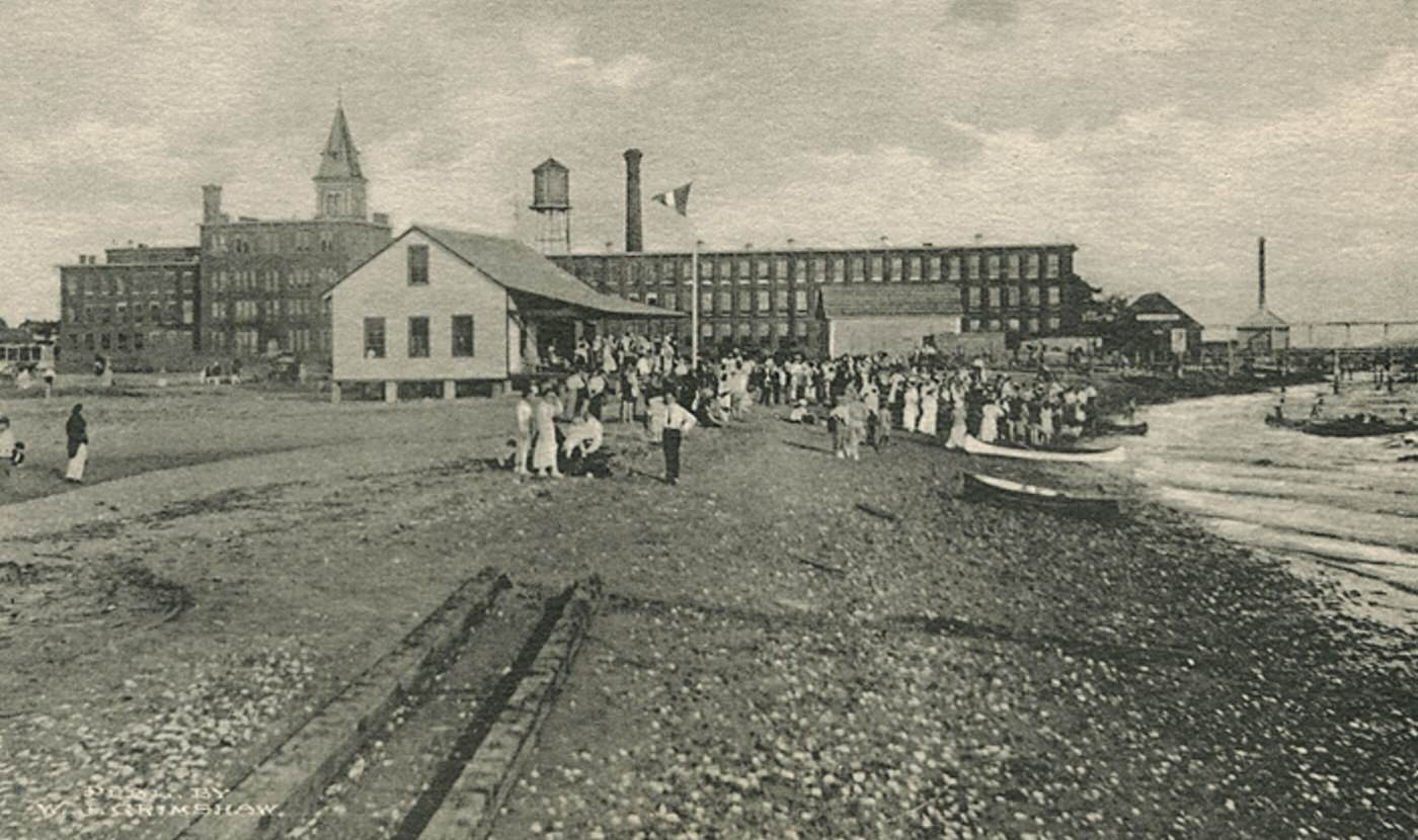
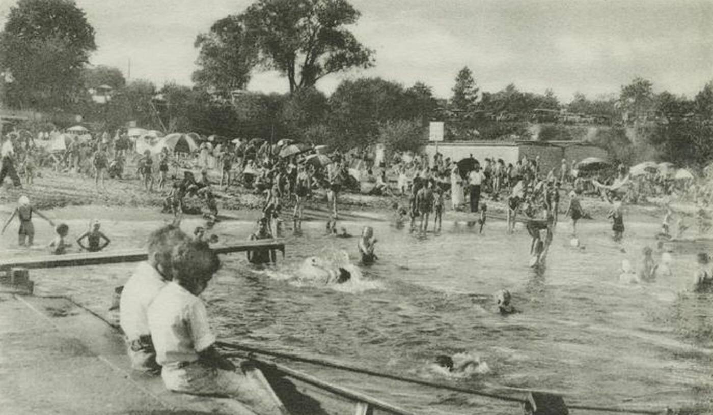
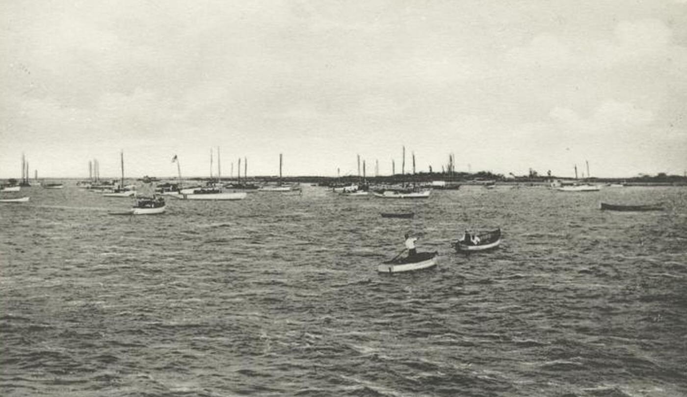
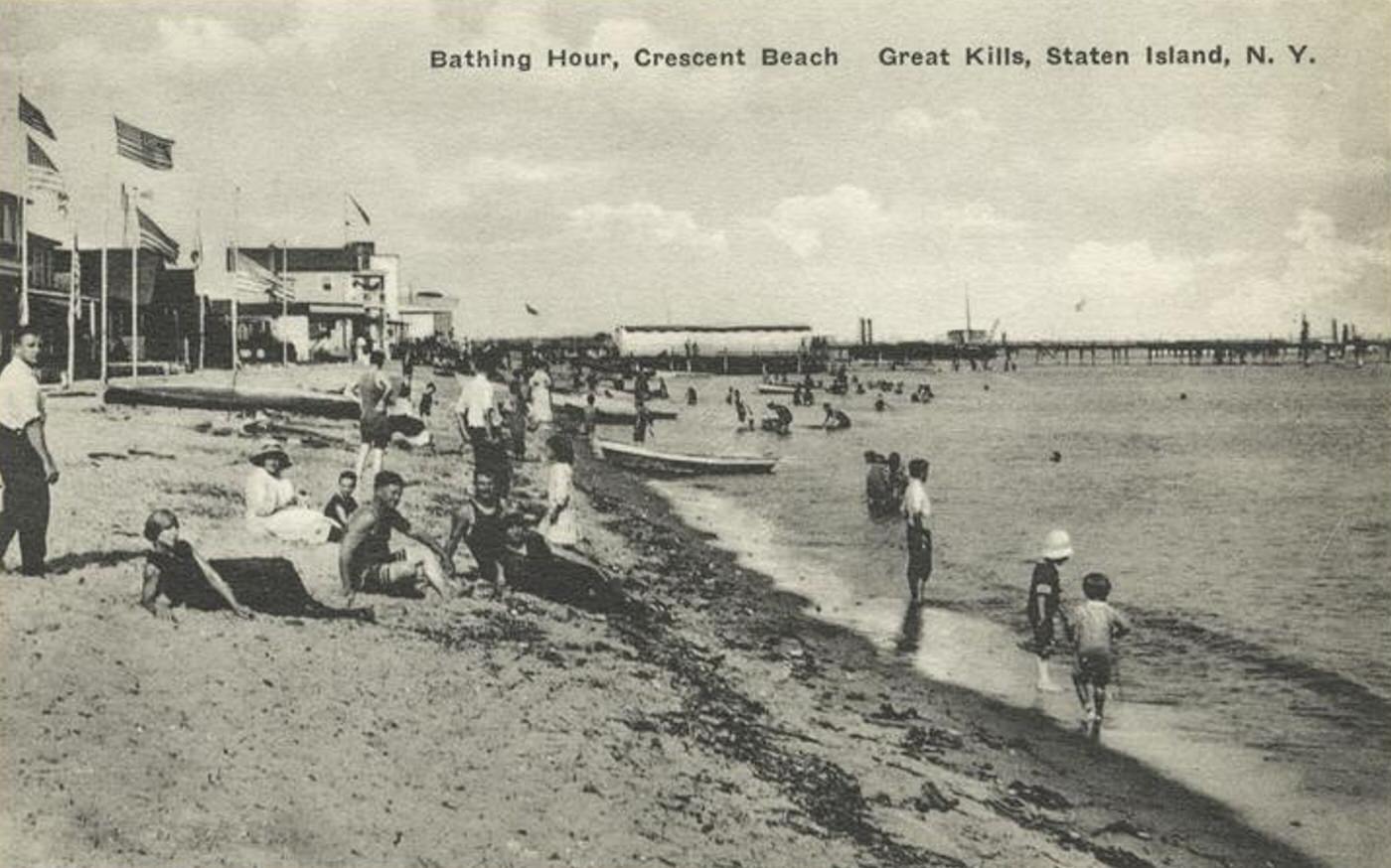
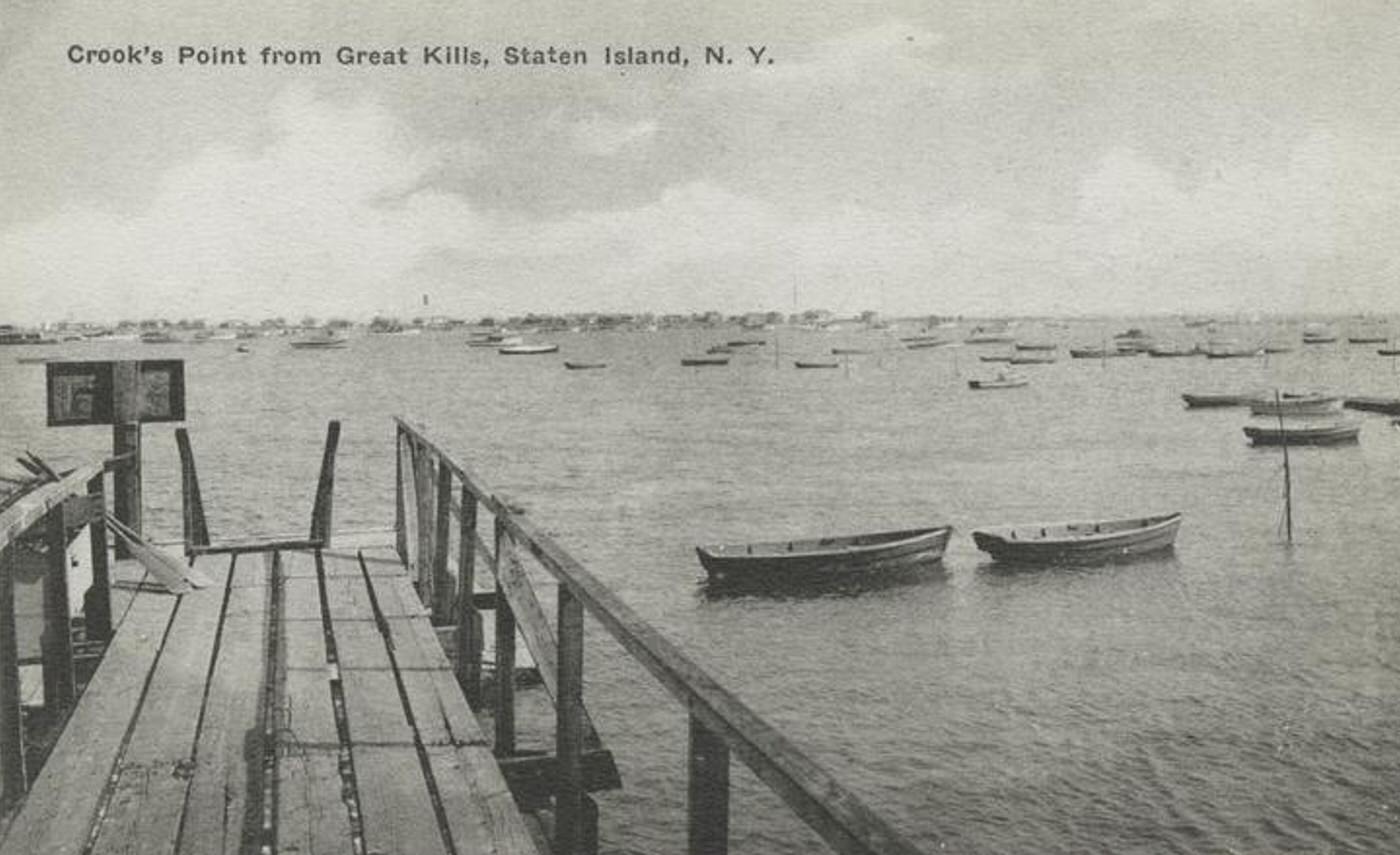
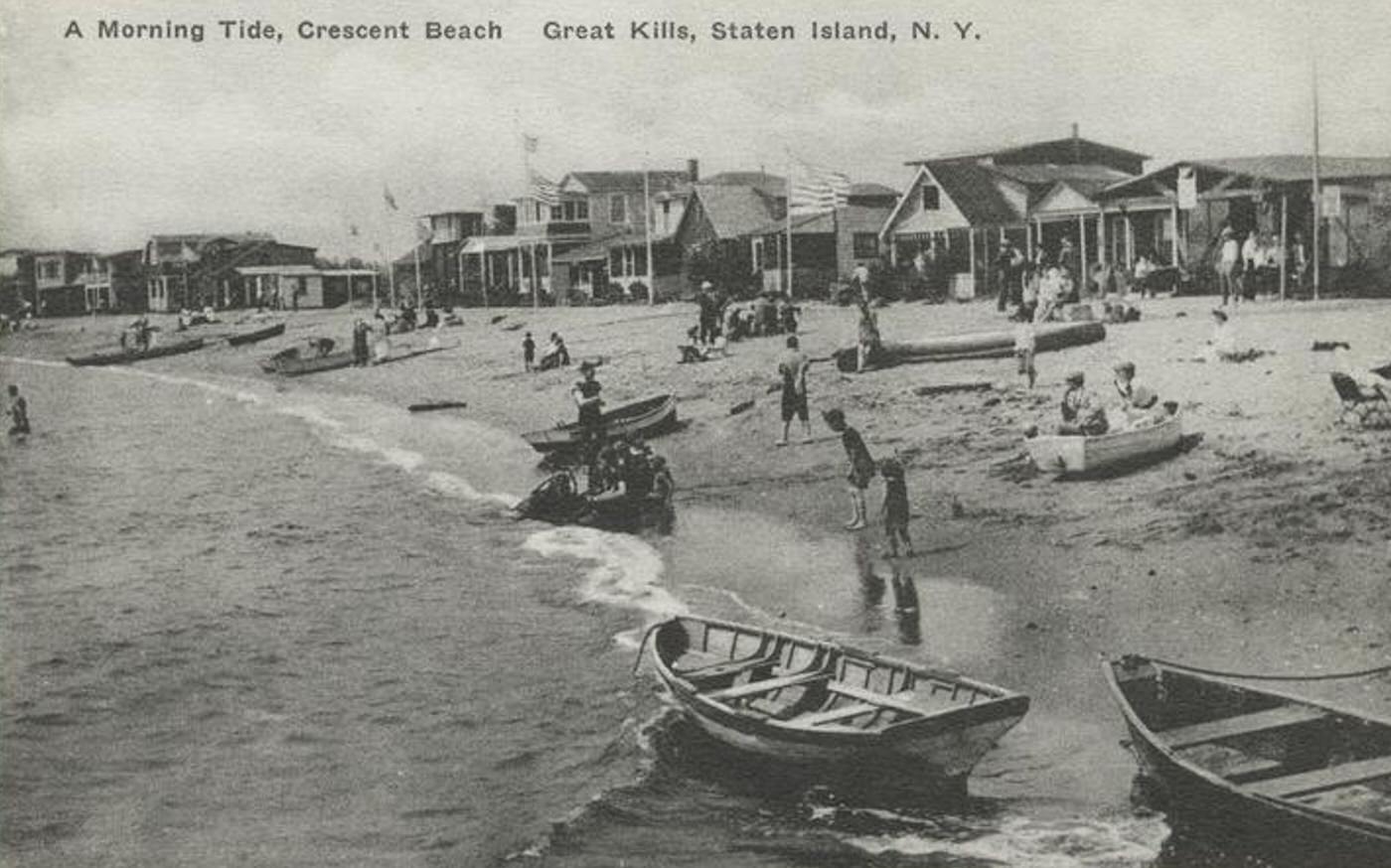
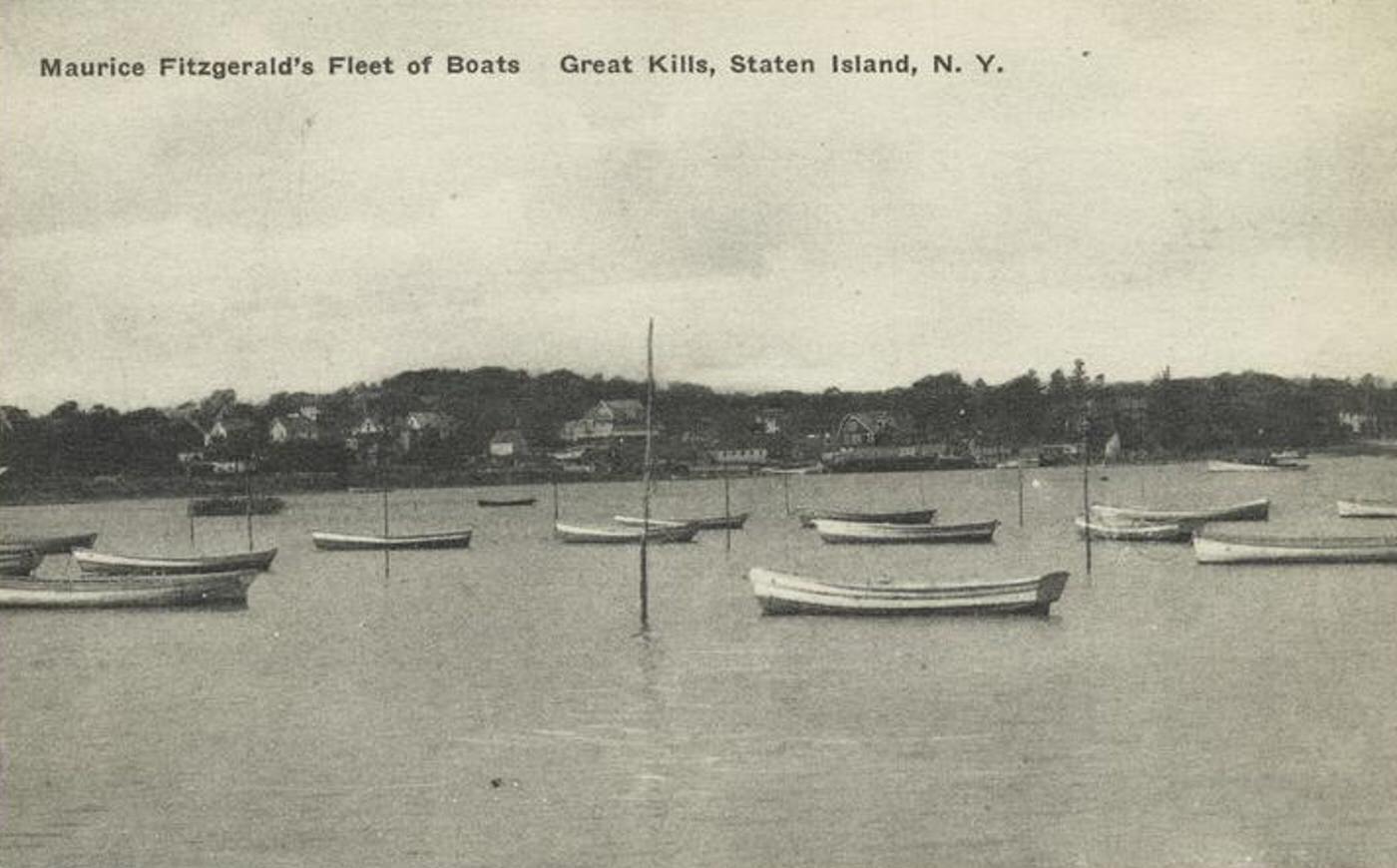
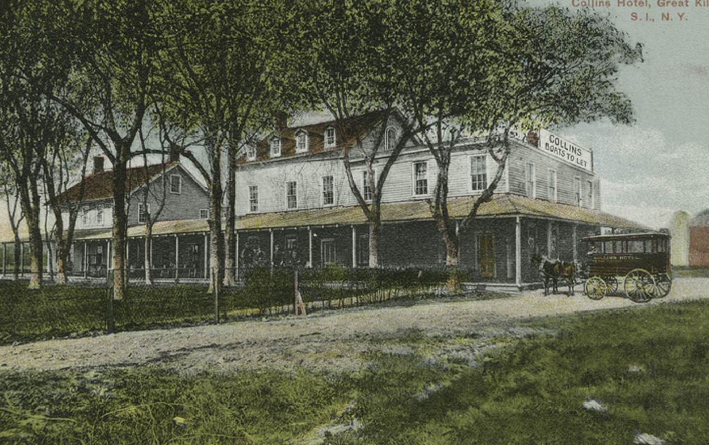
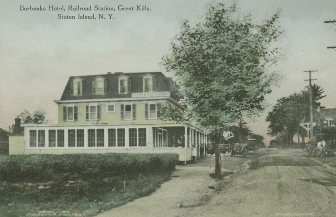
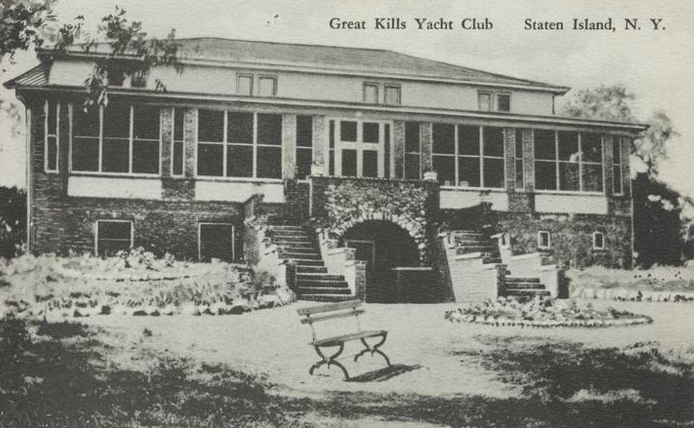
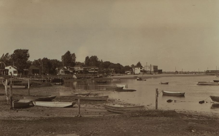
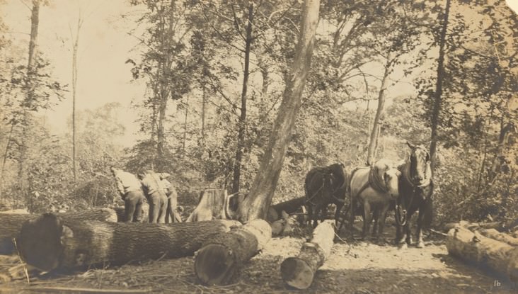
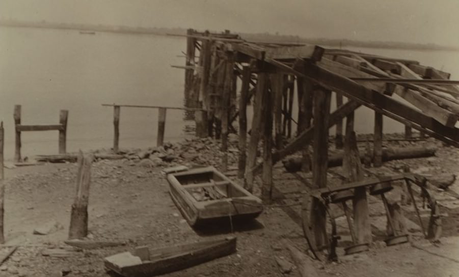
Life for many residents revolved around the surrounding waters of Raritan Bay and the Arthur Kill. Maritime occupations formed the backbone of the local economy. Oystering was a major industry, particularly centered around Princes Bay, whose oysters were famous. Fishing fleets operated out of harbors like Great Kills, and clamming was common along the shores. Boat building and other trades supporting maritime activity also provided work for local people.
Read more
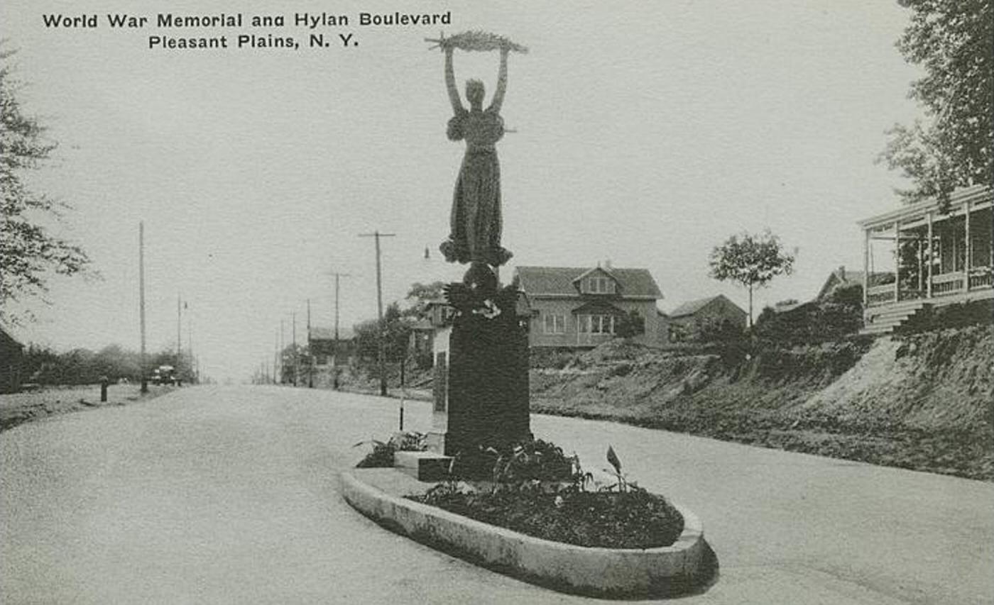
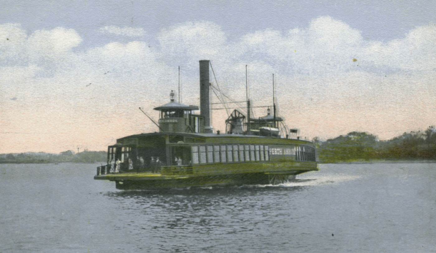
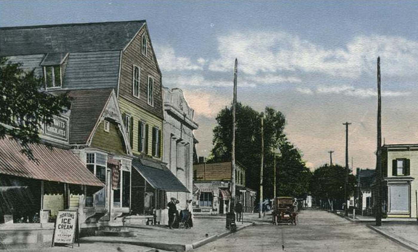
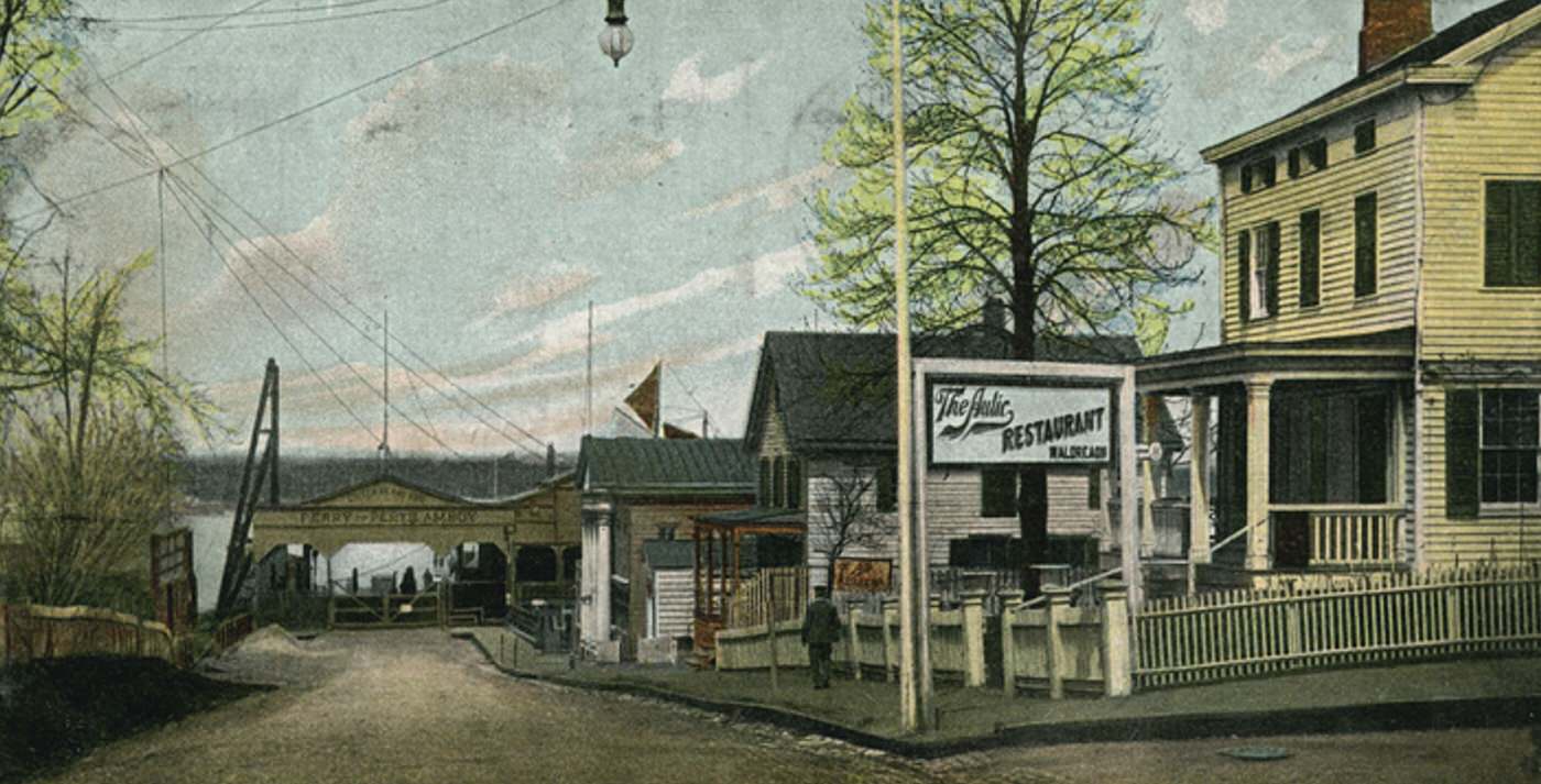
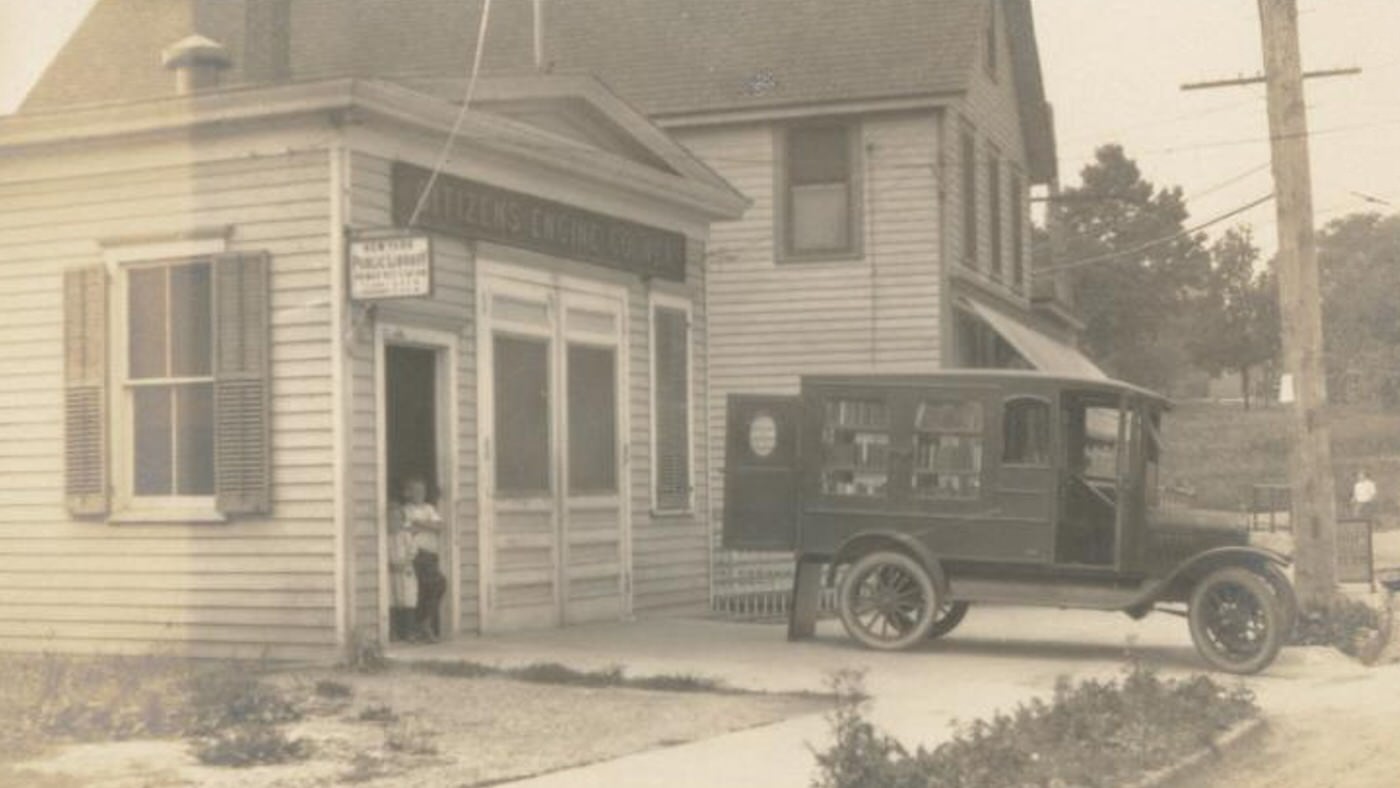
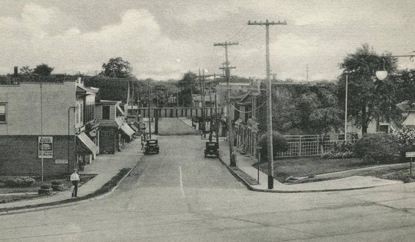
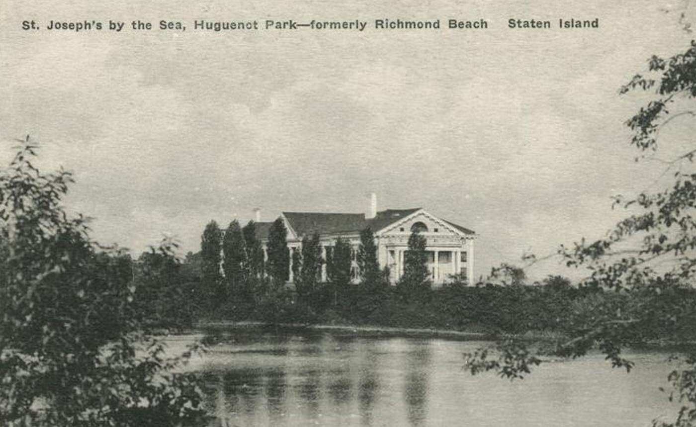
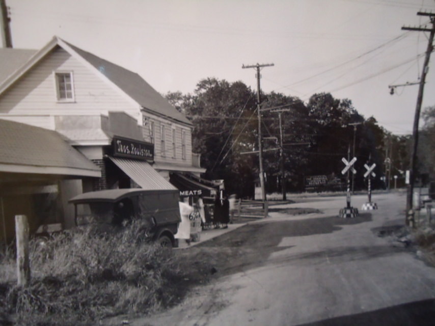
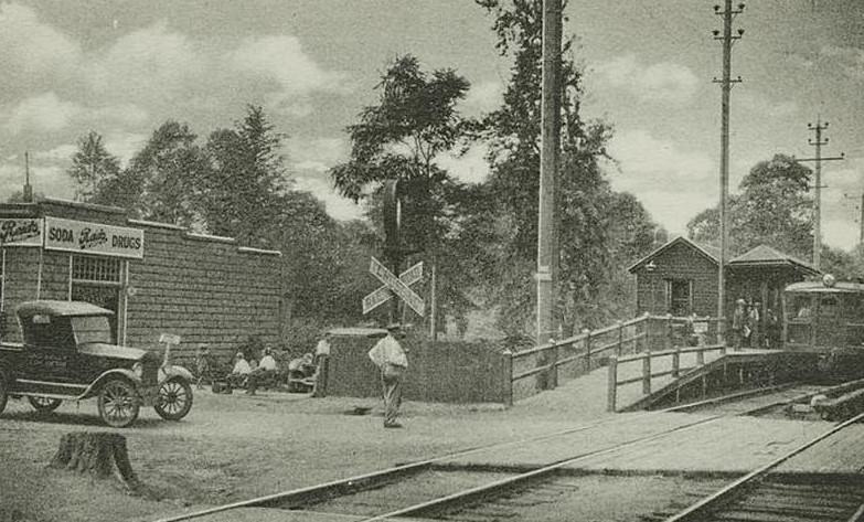
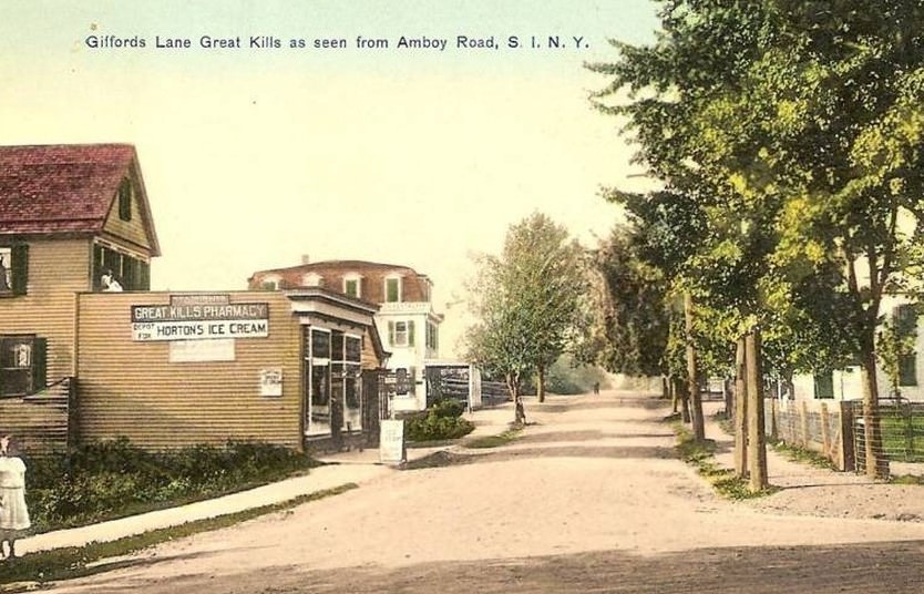
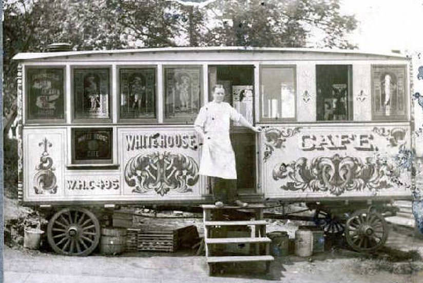
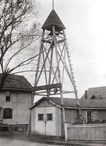
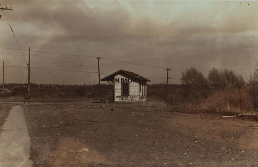
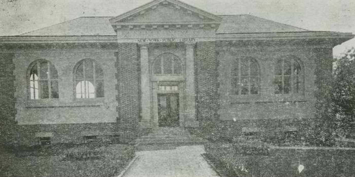
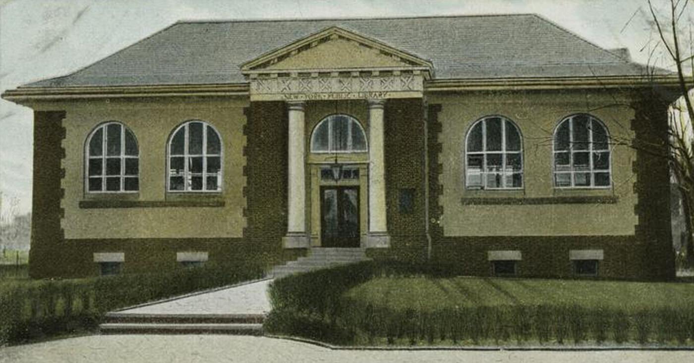
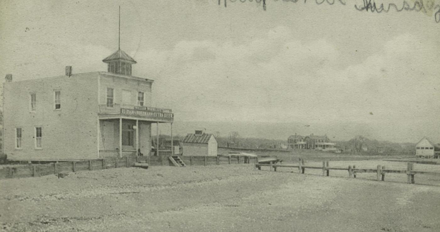
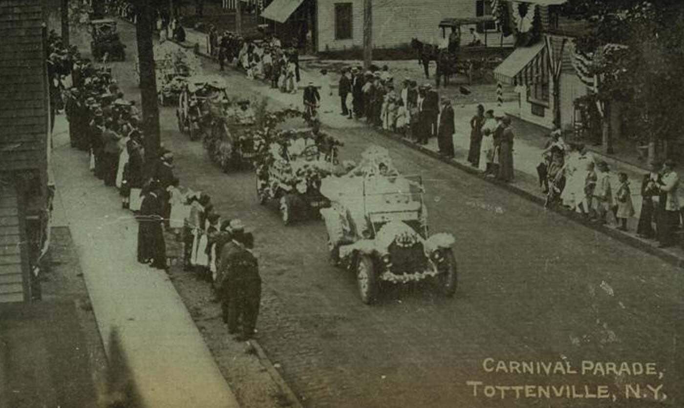
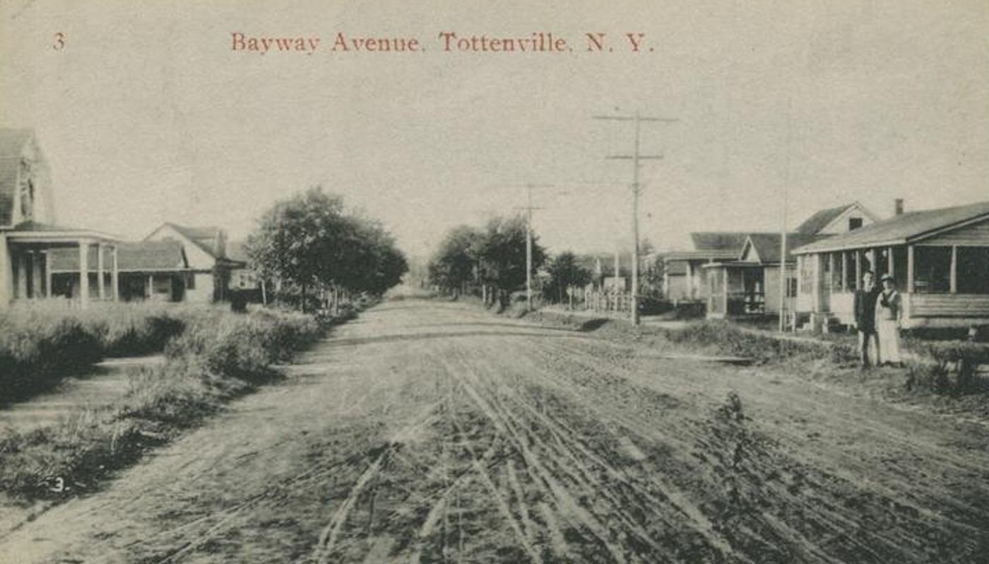
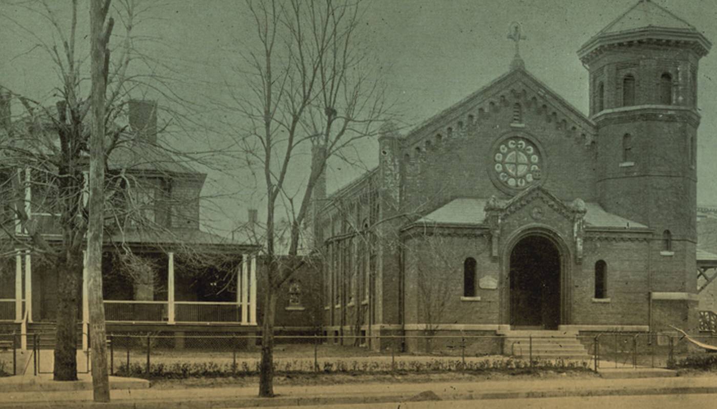
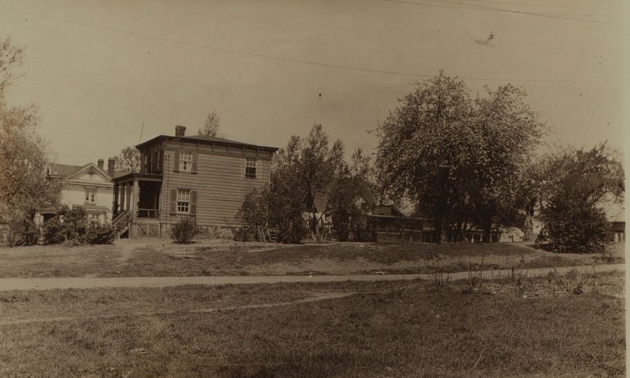
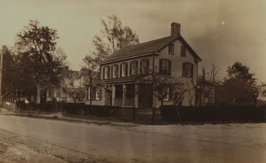
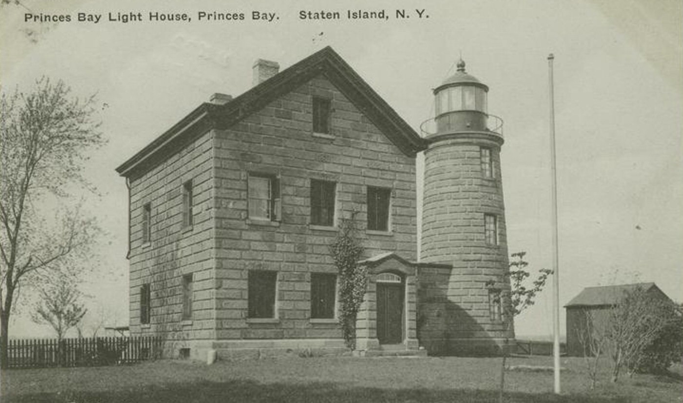
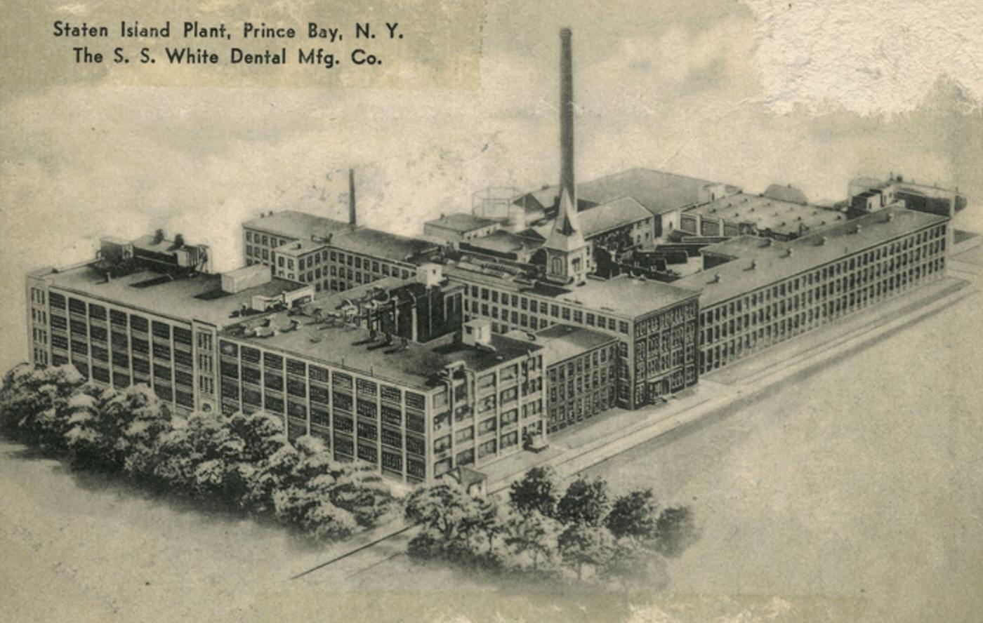
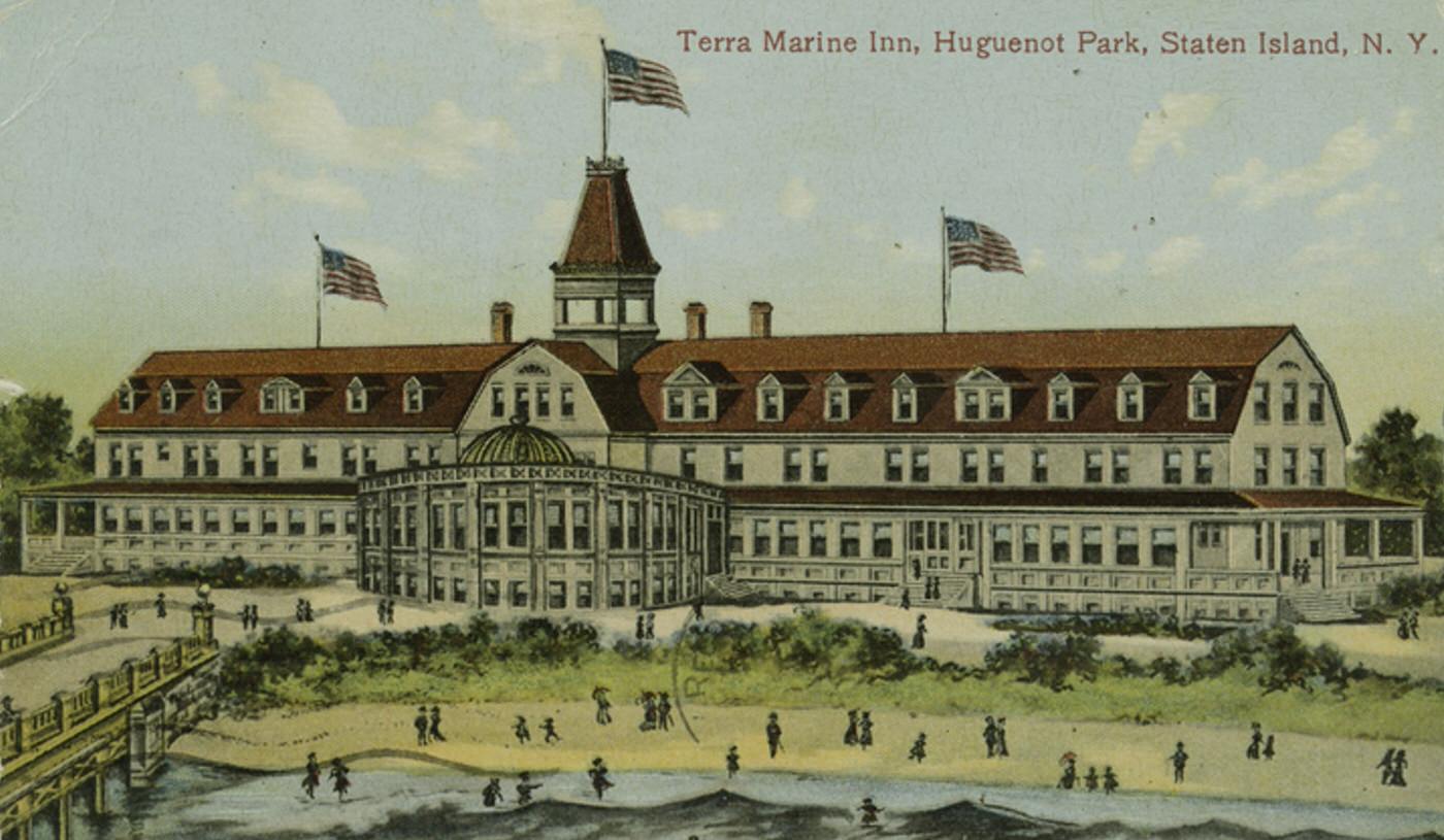
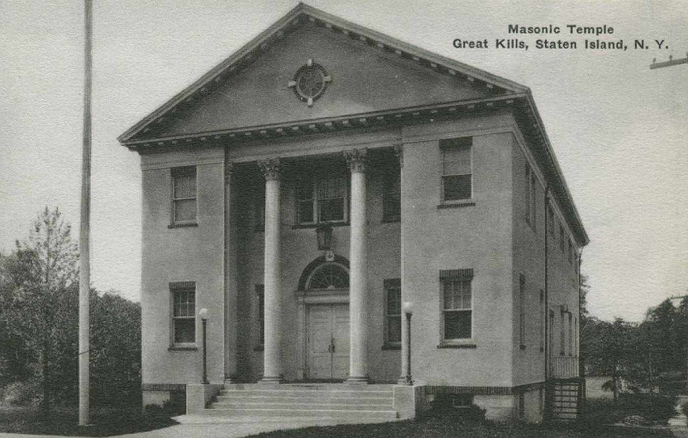
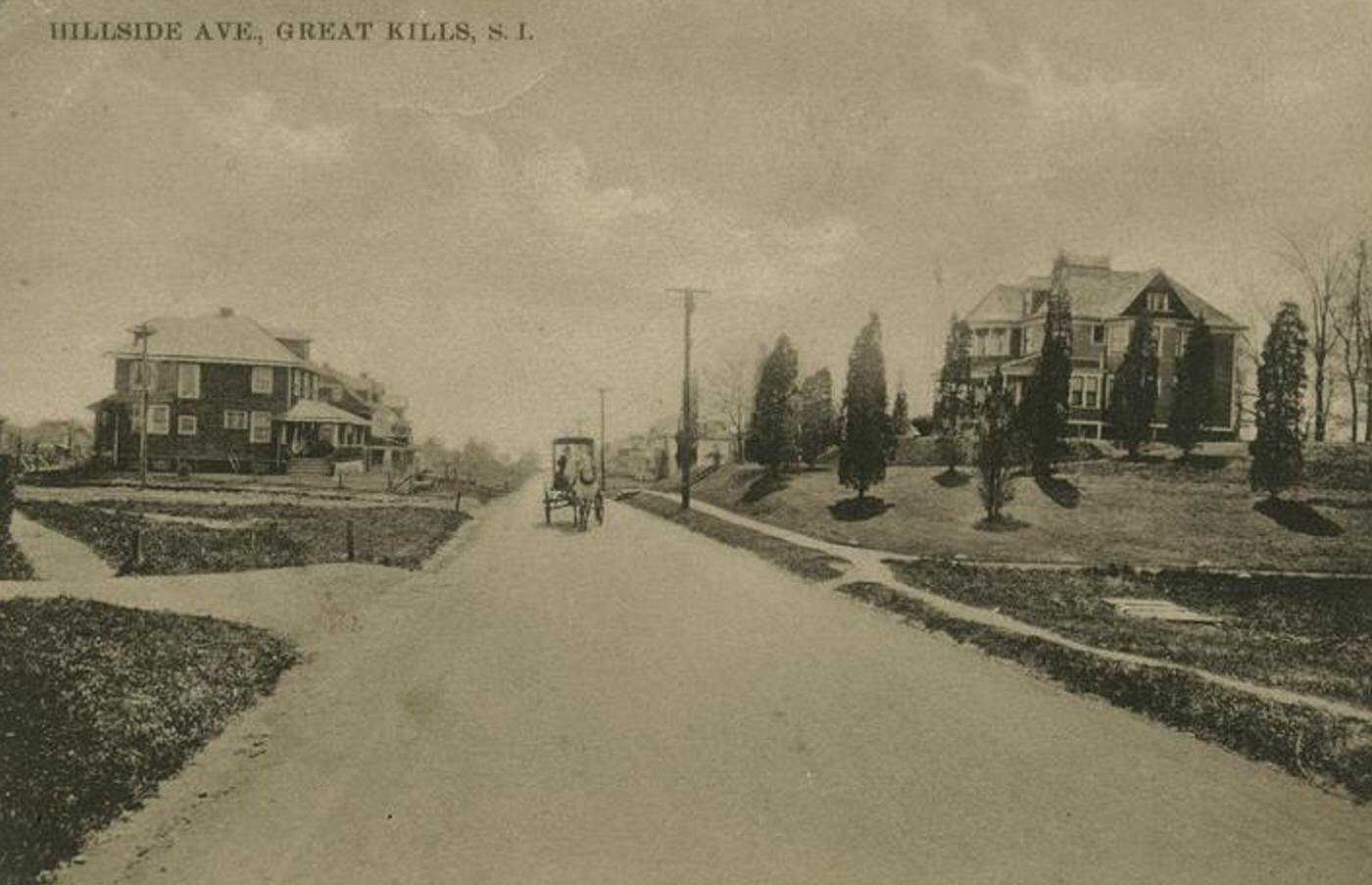
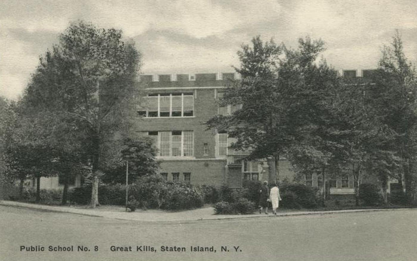
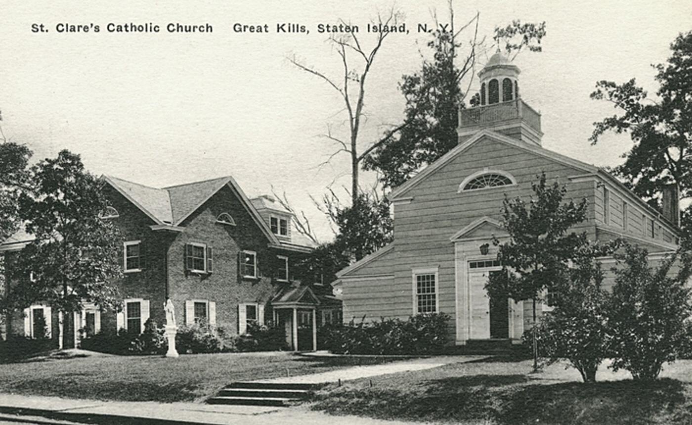
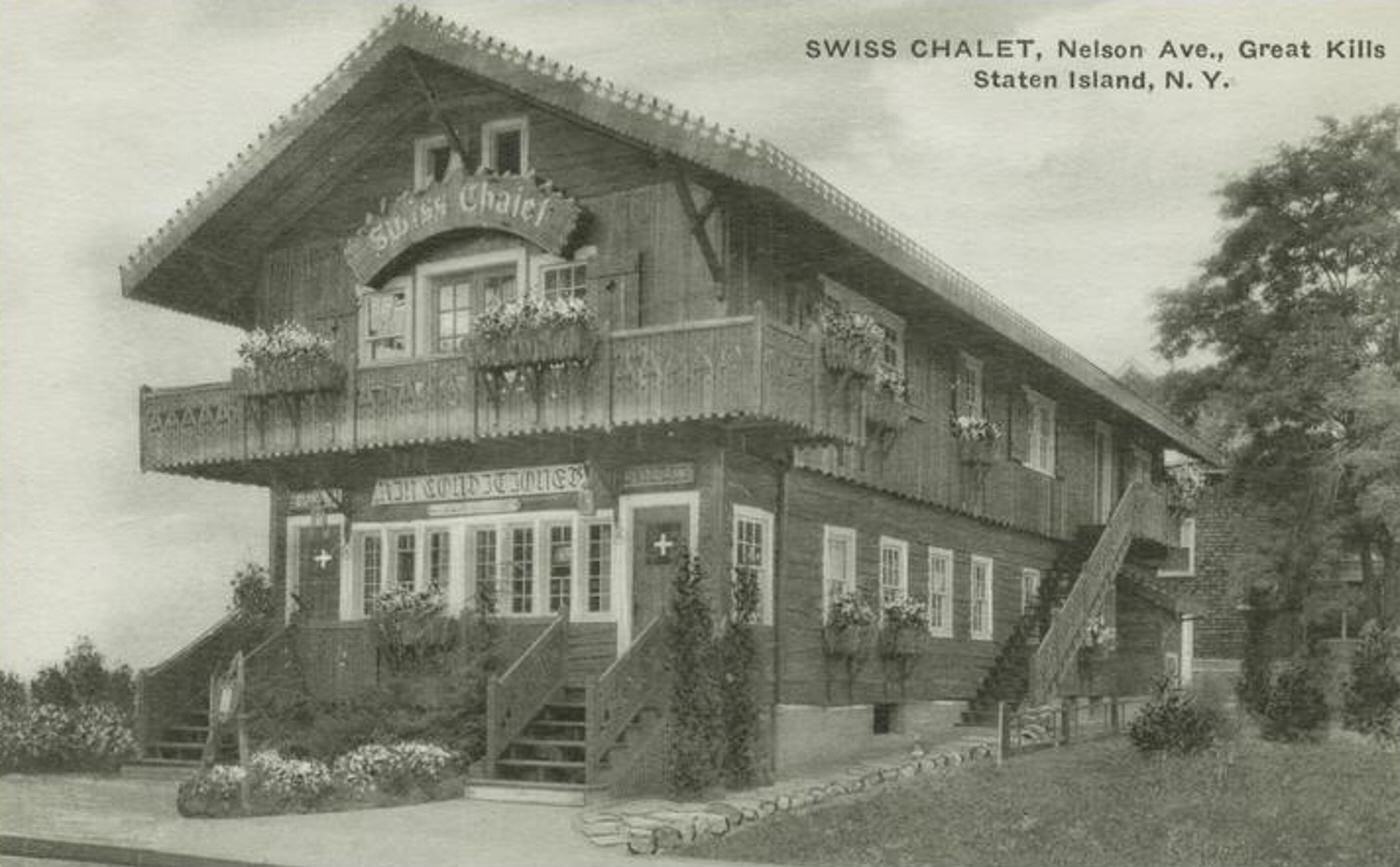
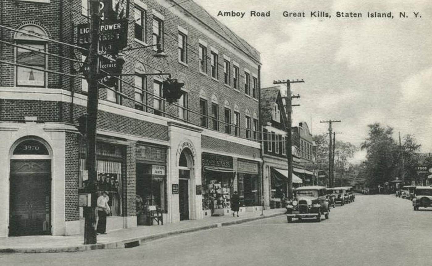
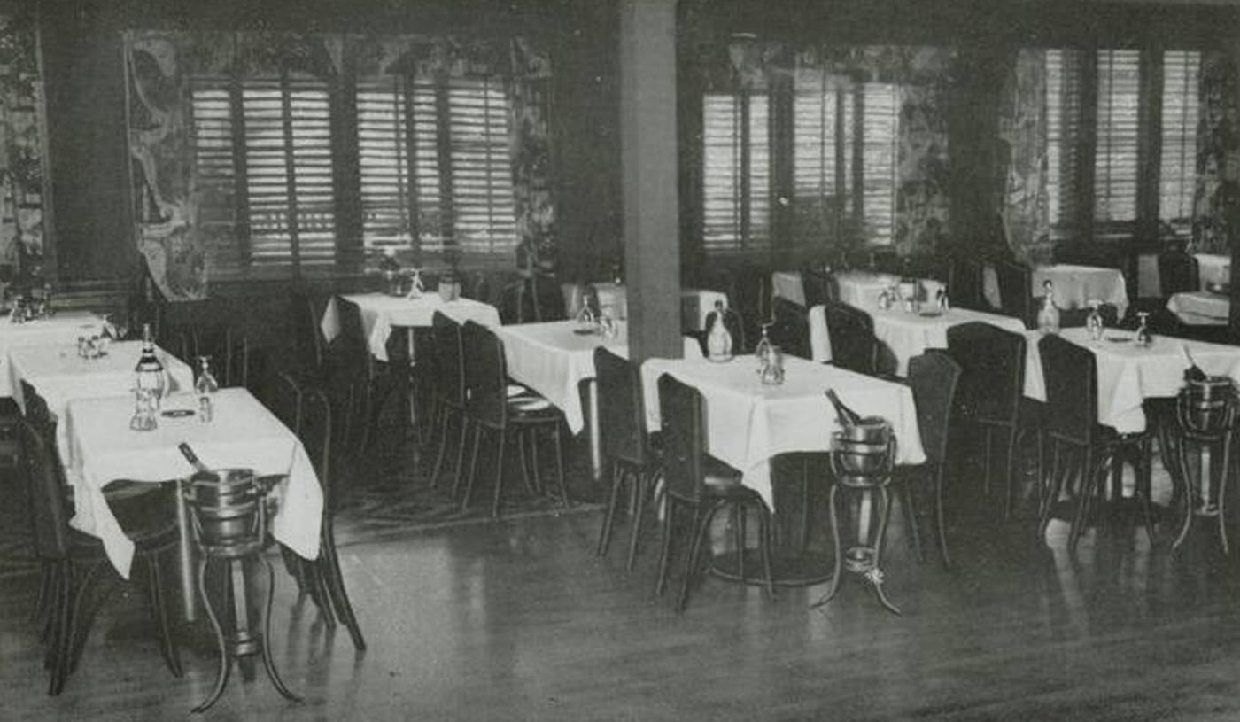
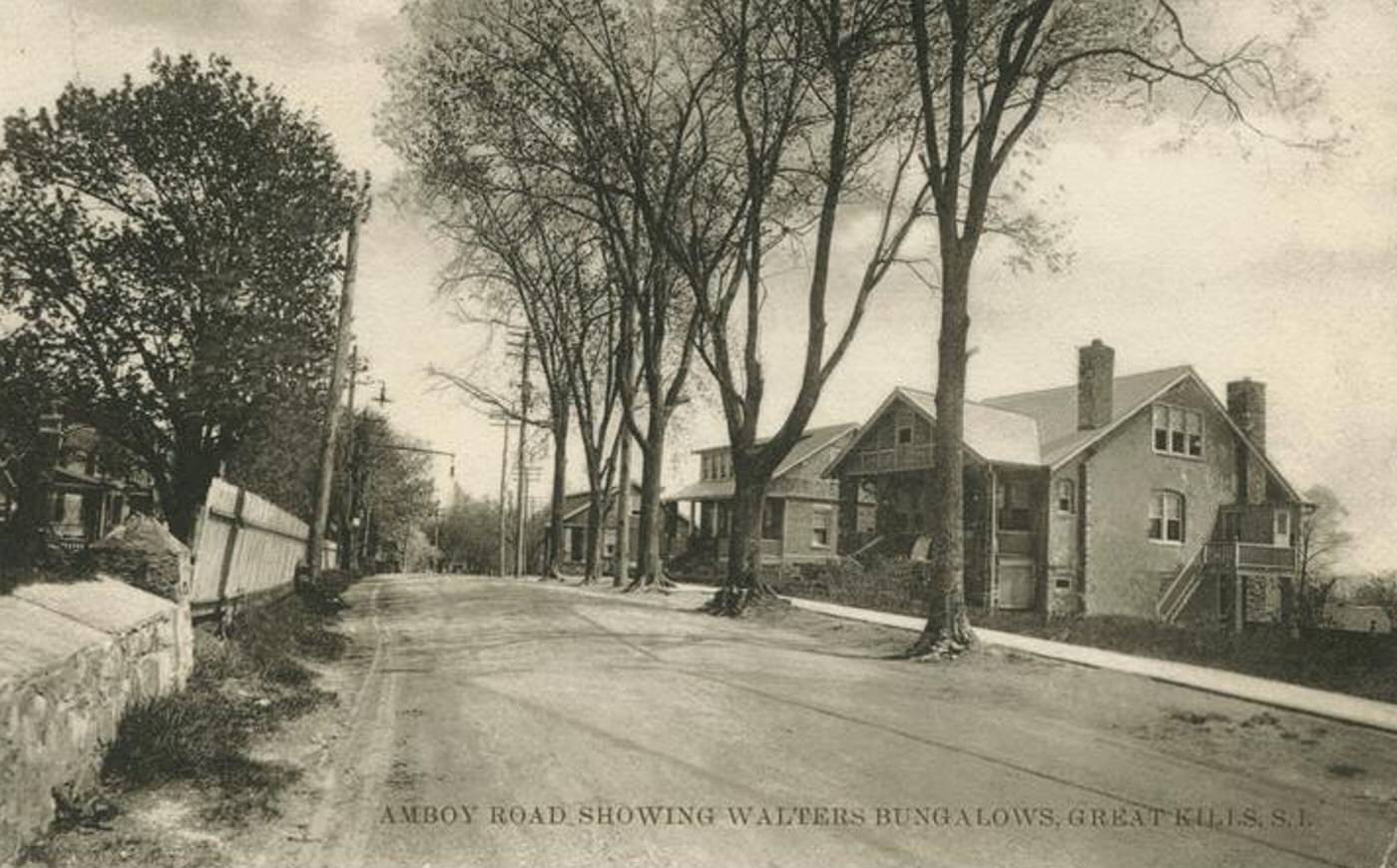
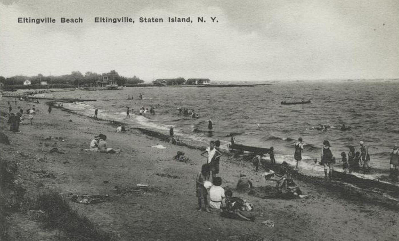
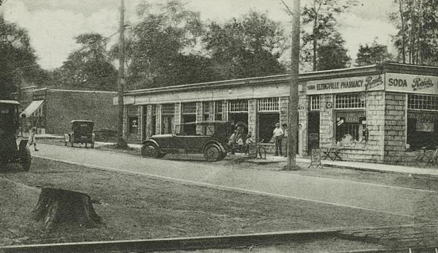
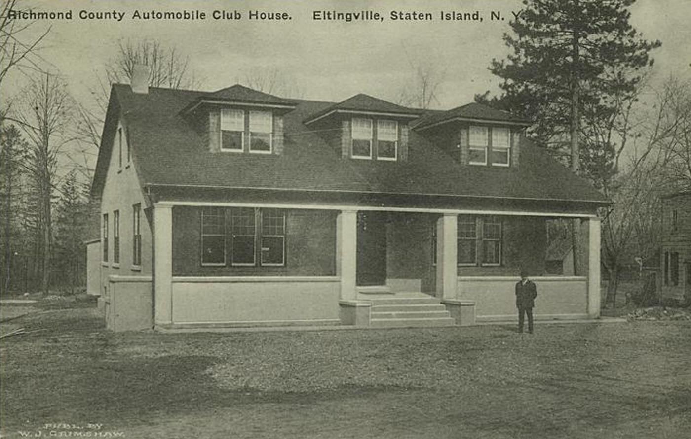
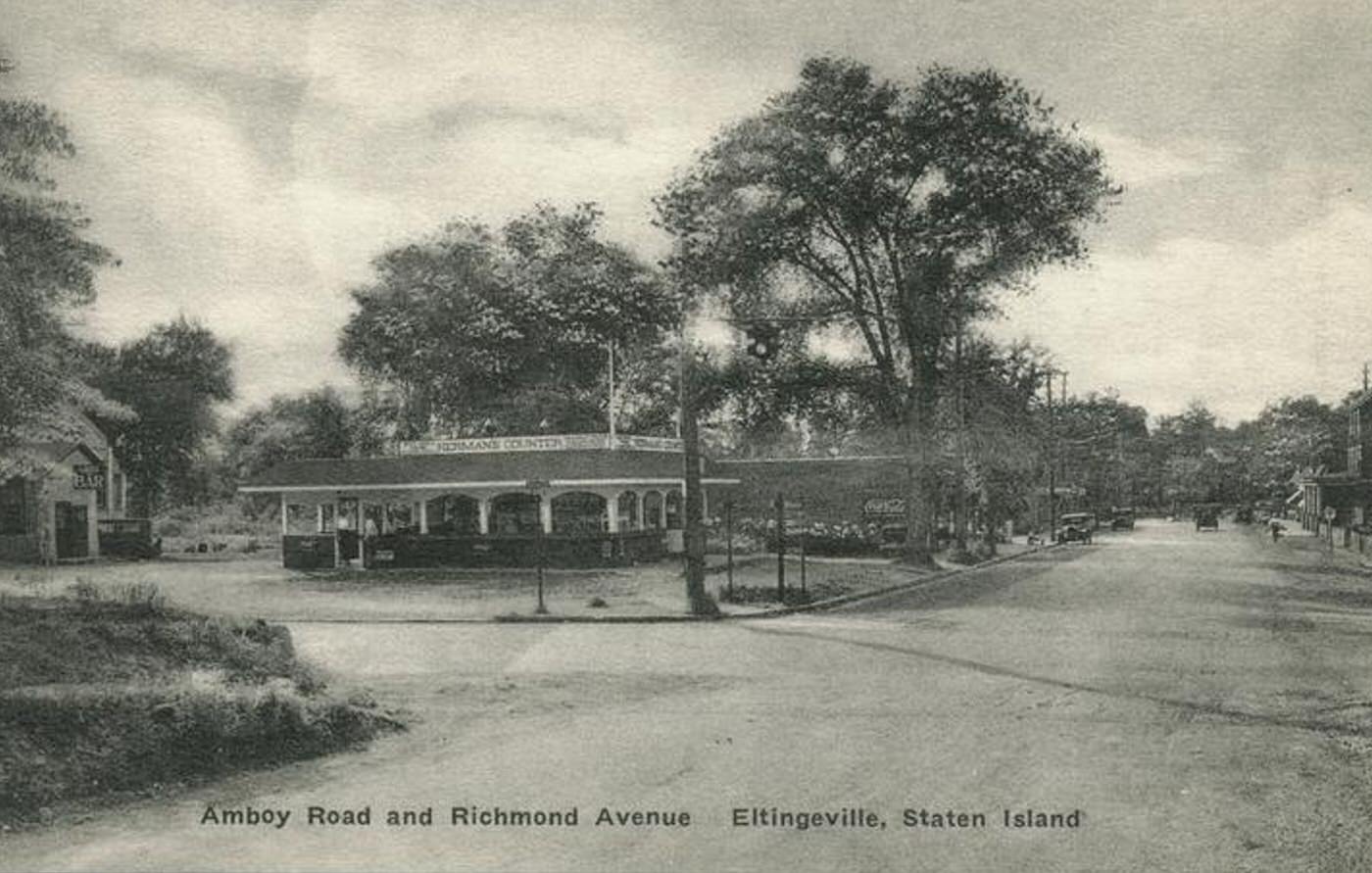
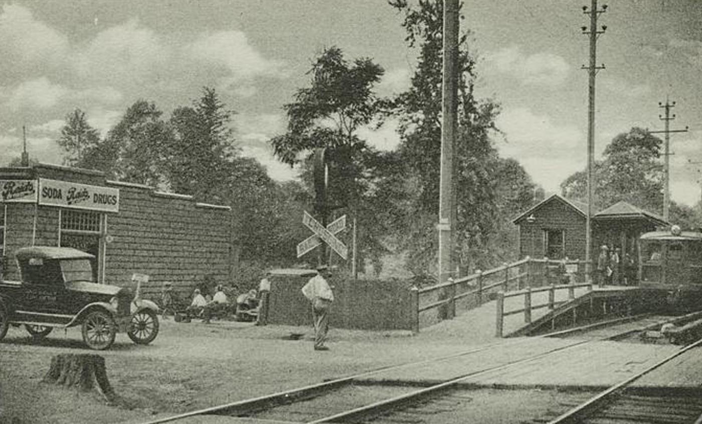
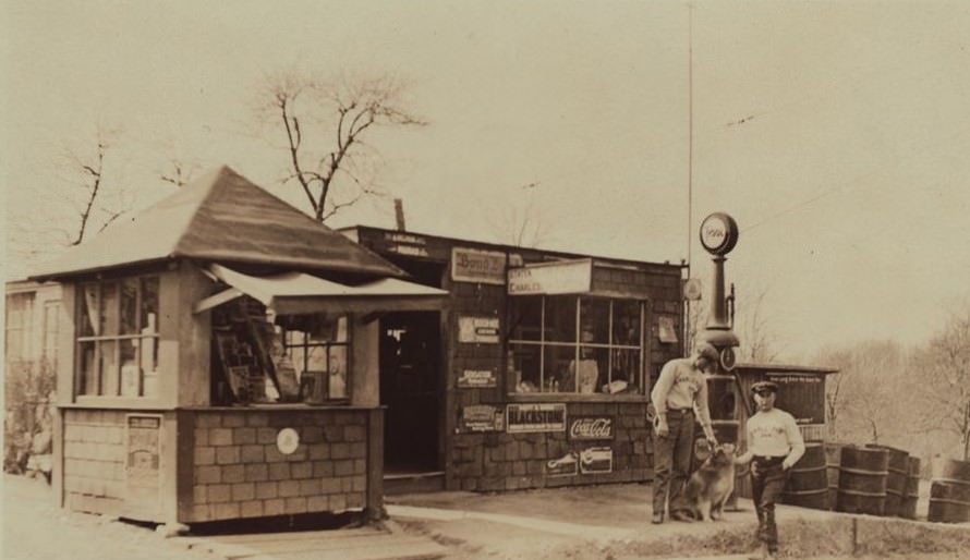
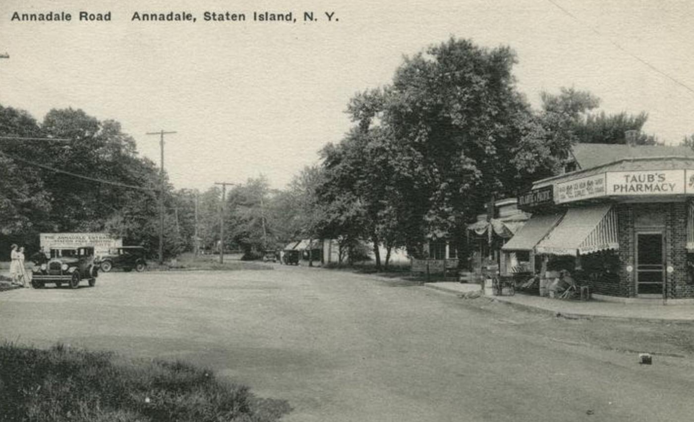
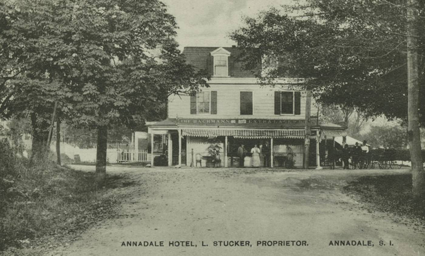
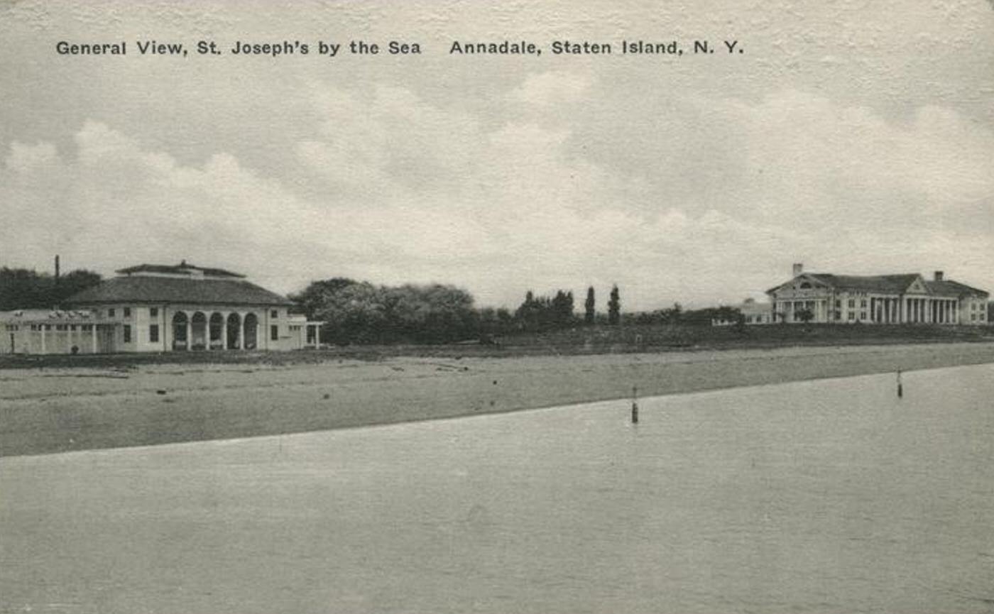
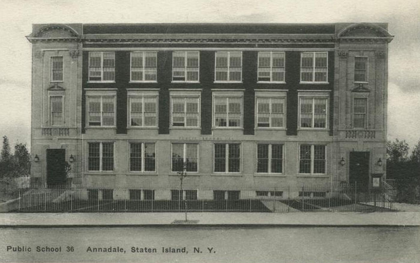
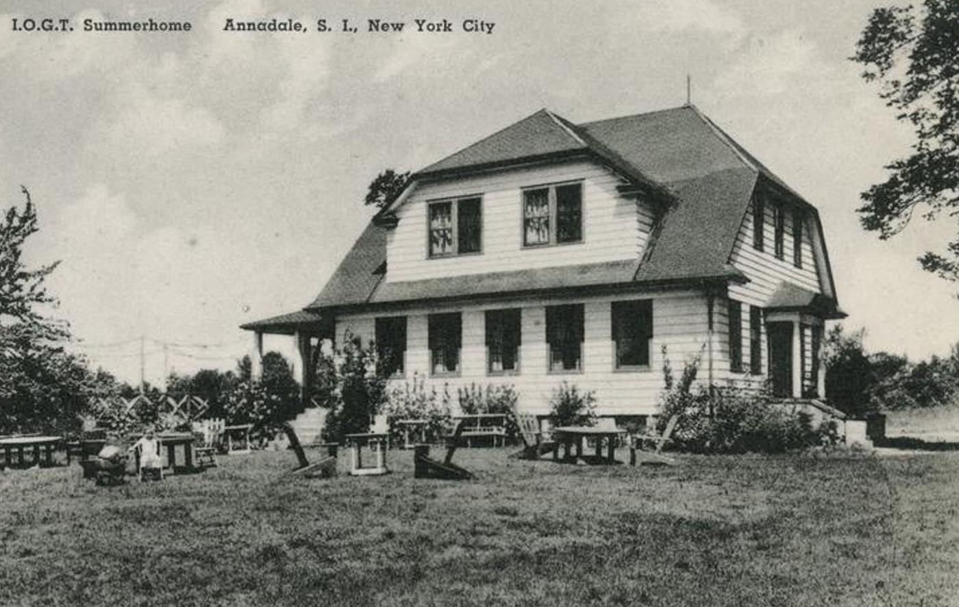
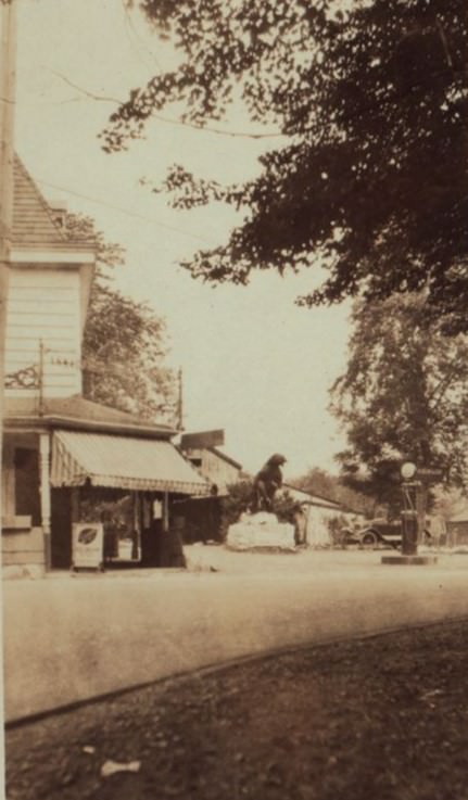
Several distinct villages and towns dotted the South Shore landscape. Tottenville, located at the island’s end, was the largest and most established community. It served as a local commercial center and transportation hub, with its own shops, churches, schools, and ferry service to Perth Amboy, New Jersey. Princes Bay was known for its large Johnston oyster company, elegant Victorian homes near the water, and the S.S. White dental manufacturing factory. Charleston, then also known as Kreischerville, was dominated by the Kreischer brickmaking works and the unique village built for its workers. Great Kills was a smaller village centered around its harbor. Other settlements like Eltingville, Annadale, Huguenot, Pleasant Plains, Richmond Valley, and Rossville existed as smaller hamlets or clusters of homes, often near railway stations.
The Staten Island Railway (SIRT) was the essential transportation link for the South Shore. Its main line terminated in Tottenville, with stations serving nearly all the villages along the route. This railway provided the primary means for residents to travel to other parts of Staten Island and connect to the ferry terminal at St. George for access to Manhattan. Road travel was less convenient; routes like Amboy Road and Arthur Kill Road existed but were often basic, making overland journeys slow, especially with horse-drawn vehicles. The ferry connecting Tottenville directly to Perth Amboy provided another vital link, particularly for industry and workers.
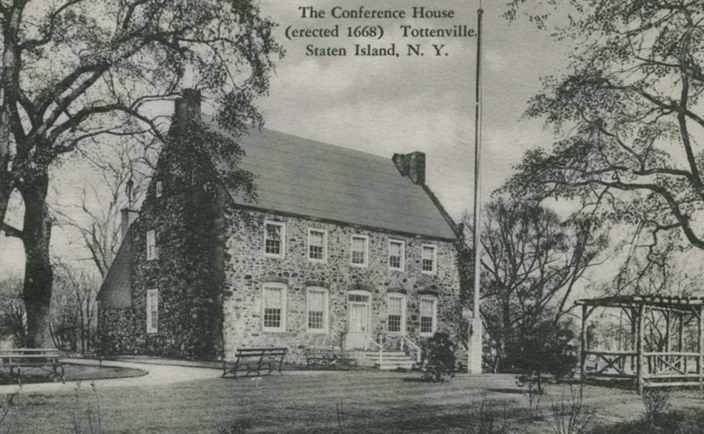
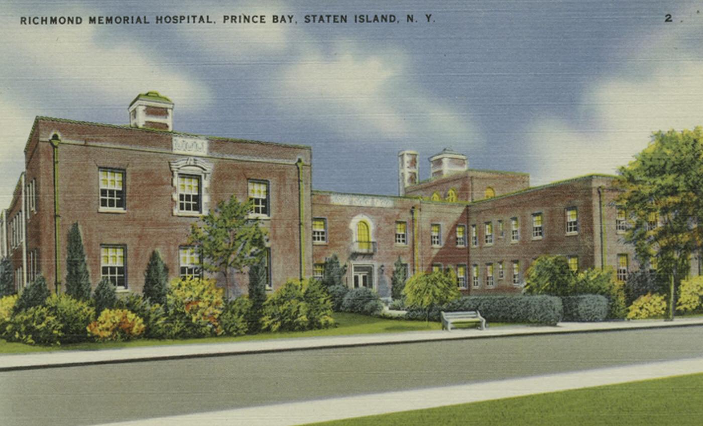
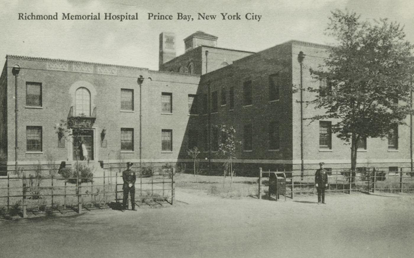
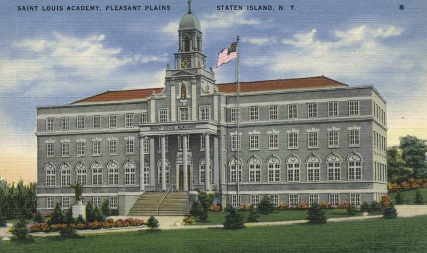
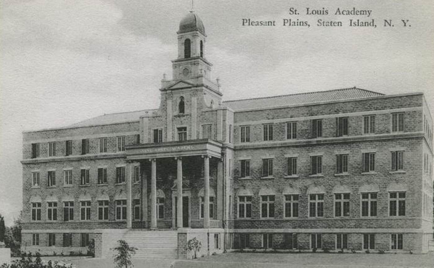
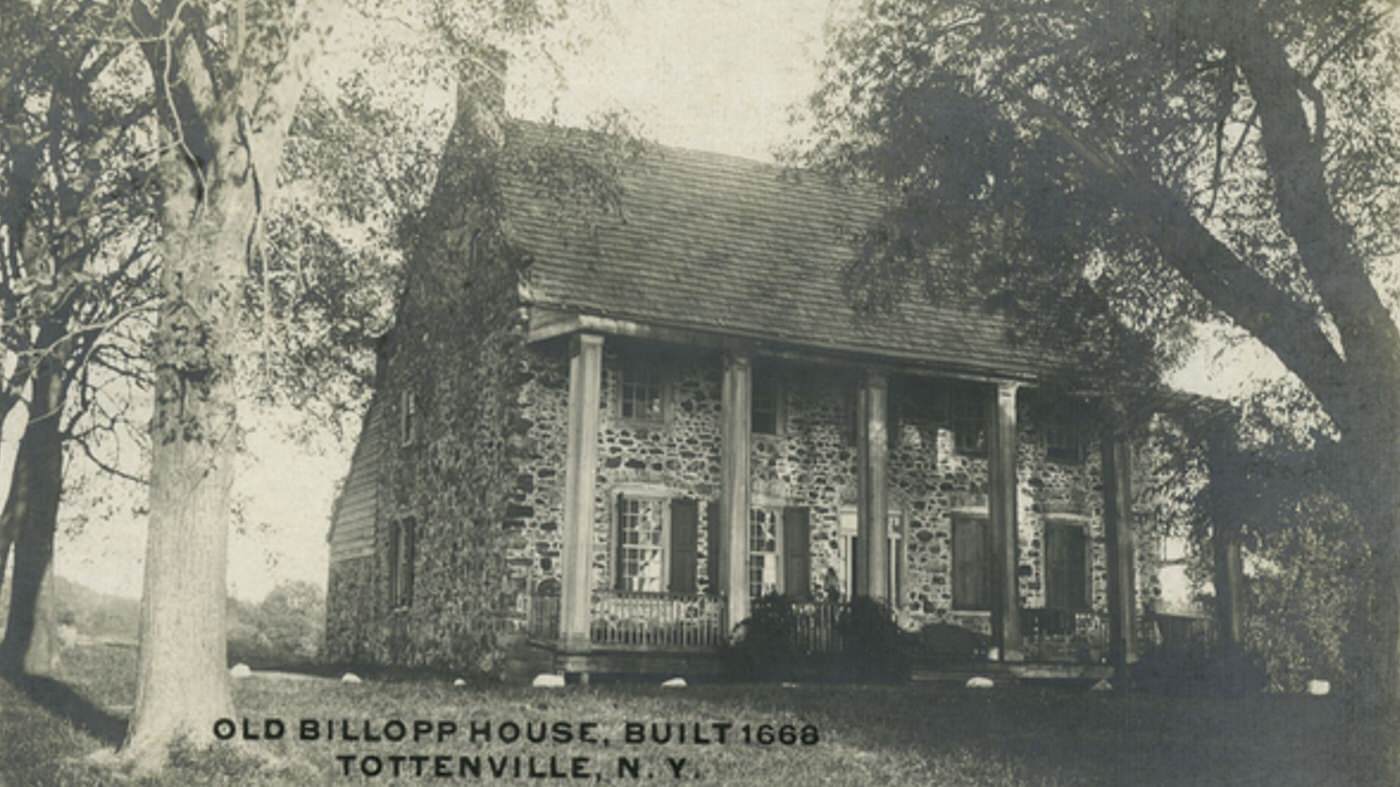
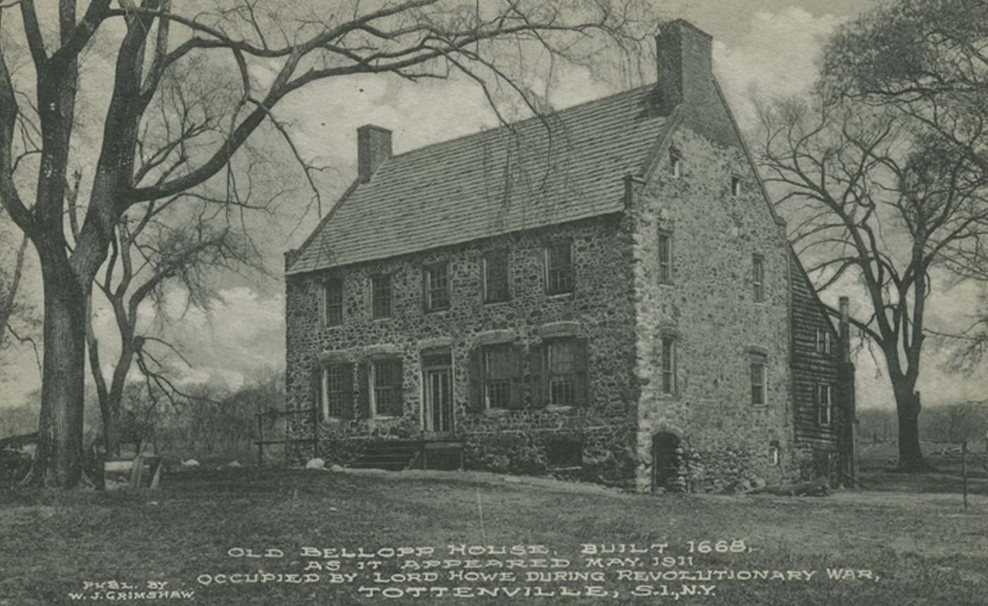
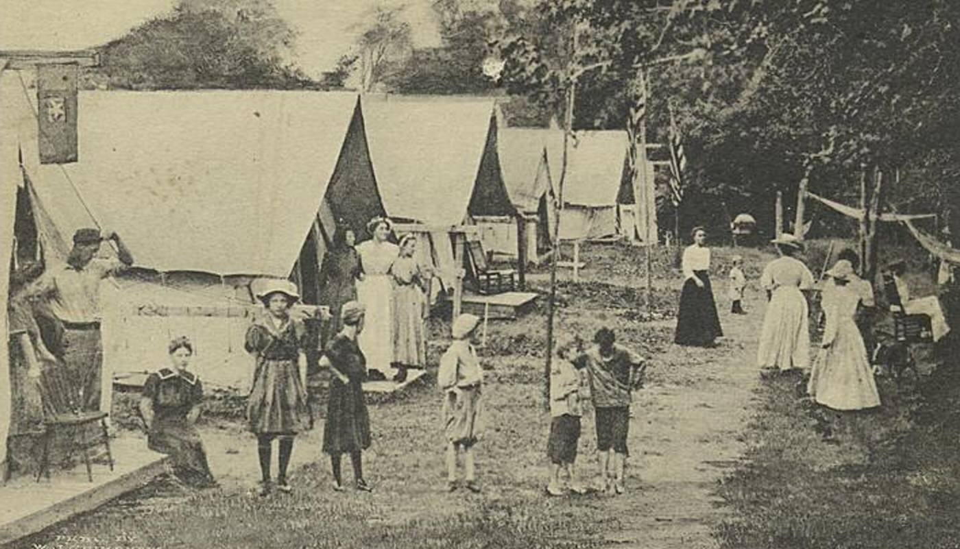
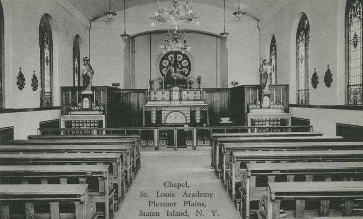
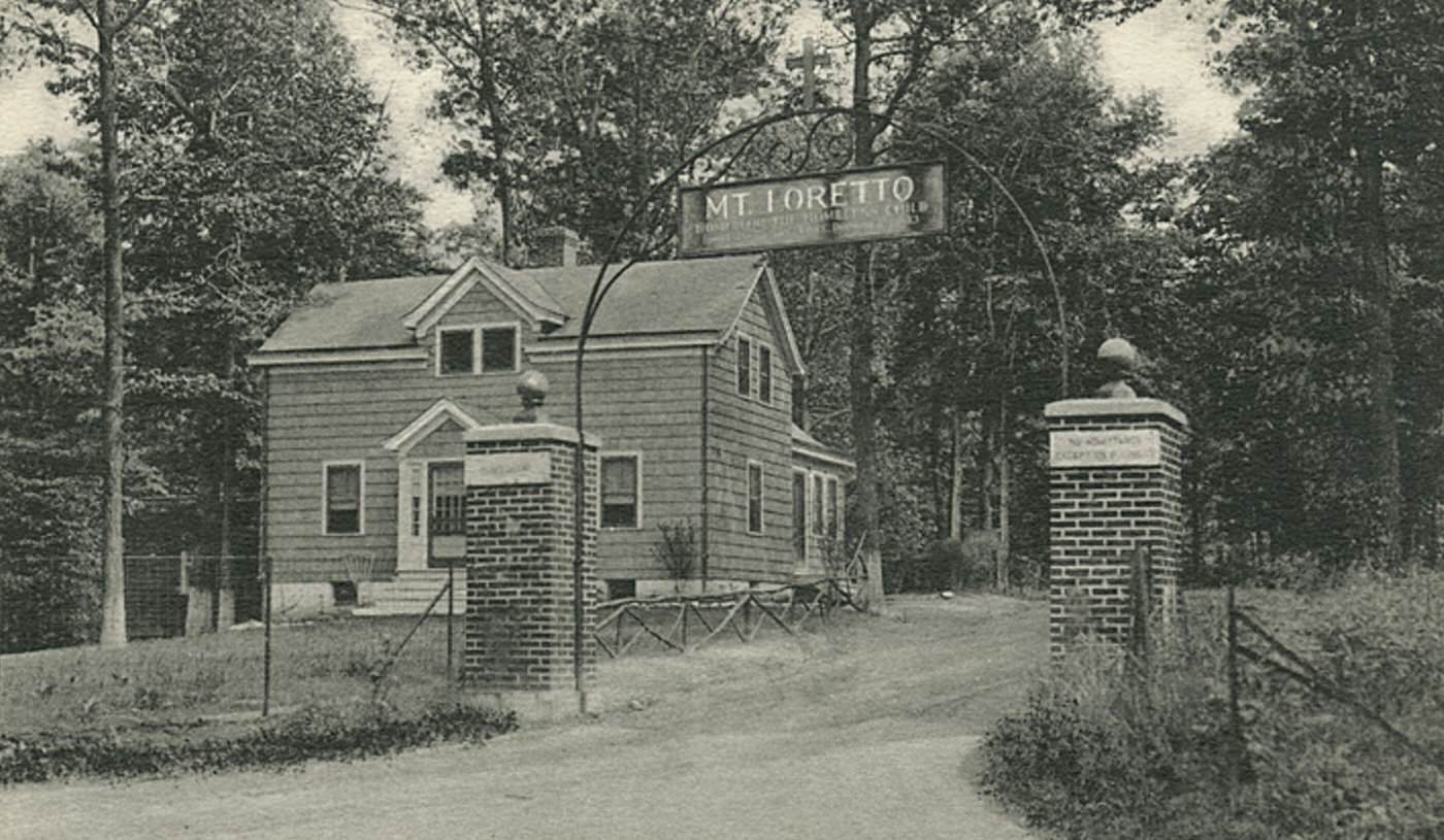
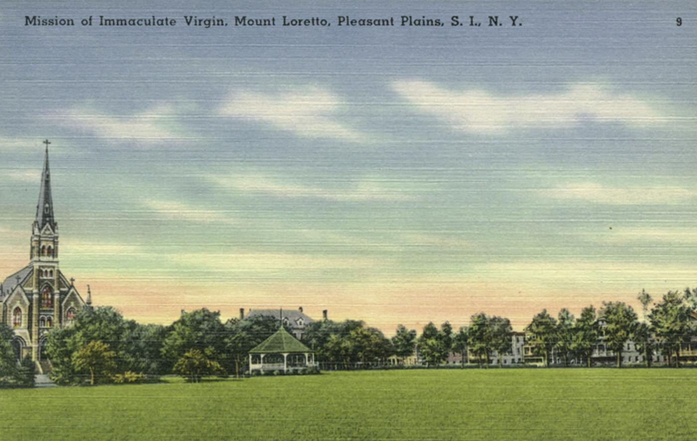
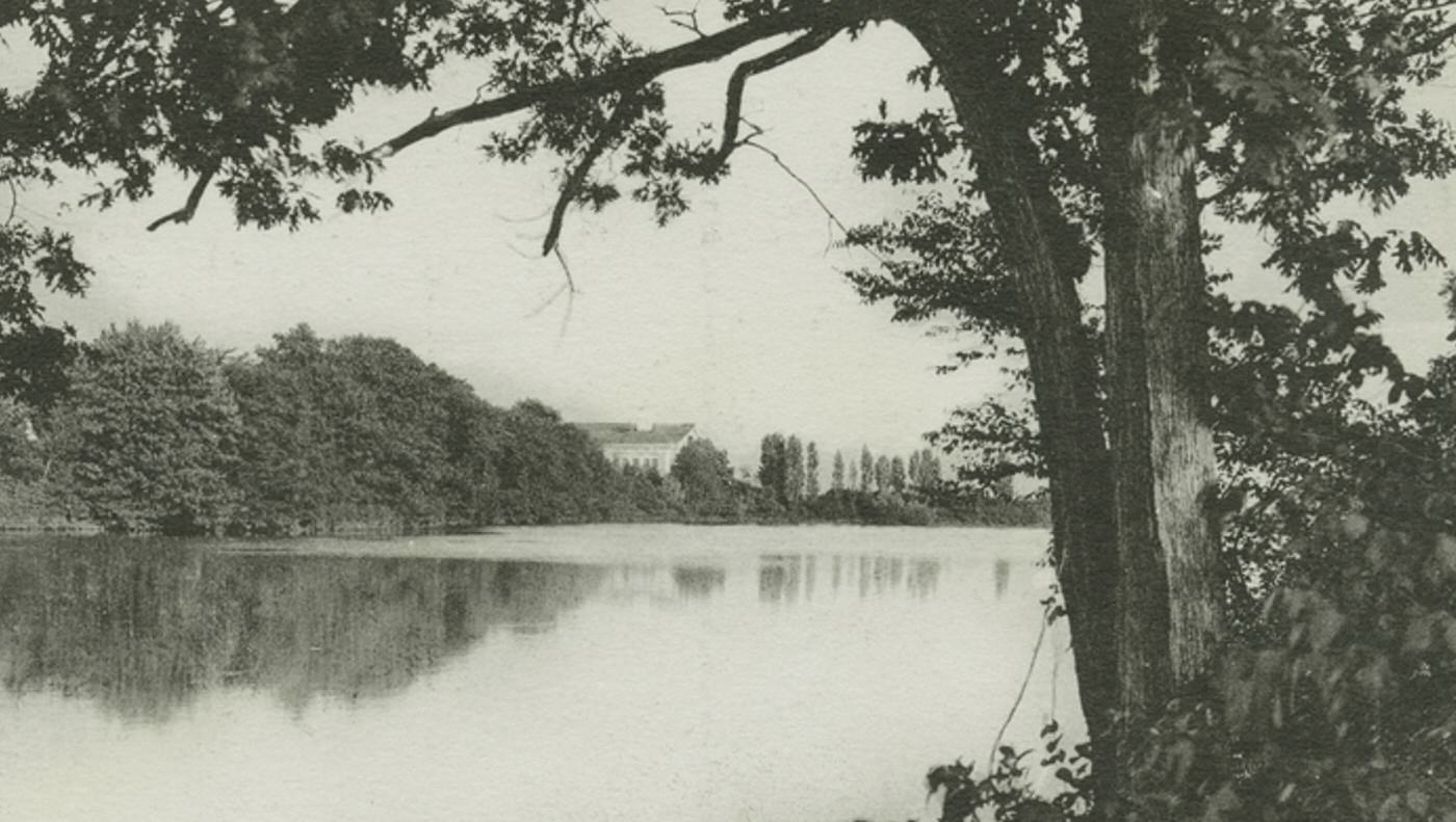
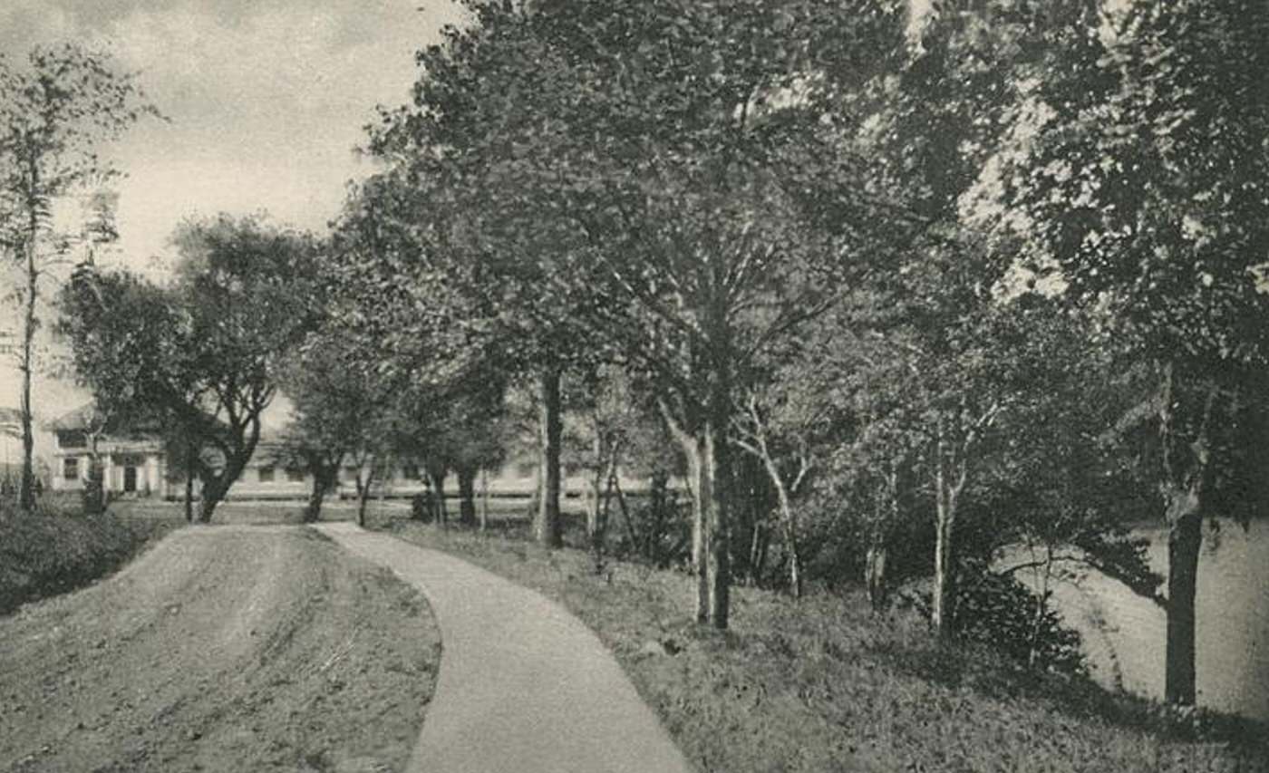
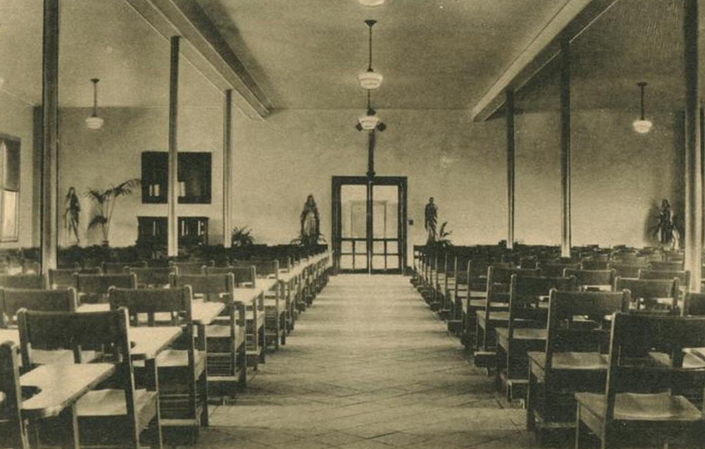
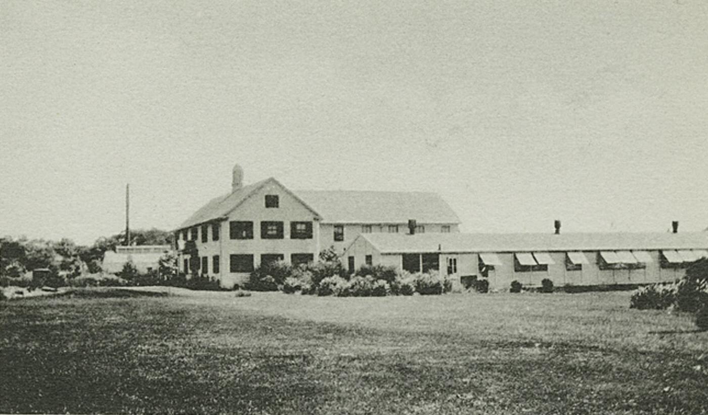
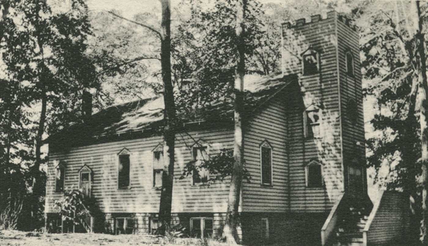
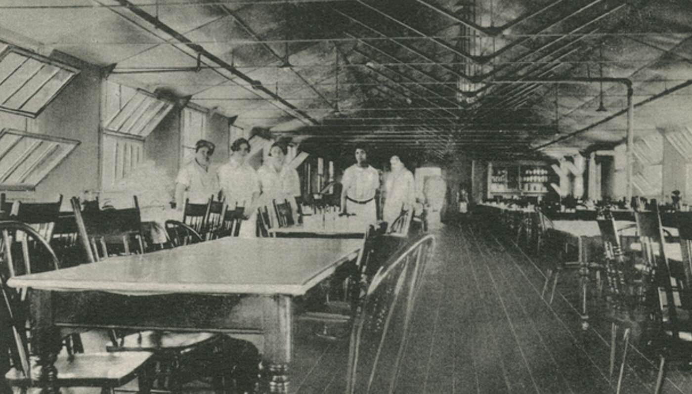
Beyond the maritime trades and farming, specific industries made their mark. The Kreischer brickworks in Charleston was a major industrial operation. The S.S. White company near Princes Bay manufactured dental supplies, employing many local residents. A significant institution on the South Shore was Mount Loretto, a large Roman Catholic complex near Pleasant Plains providing care and vocational training for children. Historic landmarks included the Conference House in Tottenville, site of a famous Revolutionary War meeting.

GIPHY App Key not set. Please check settings