

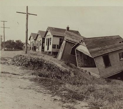
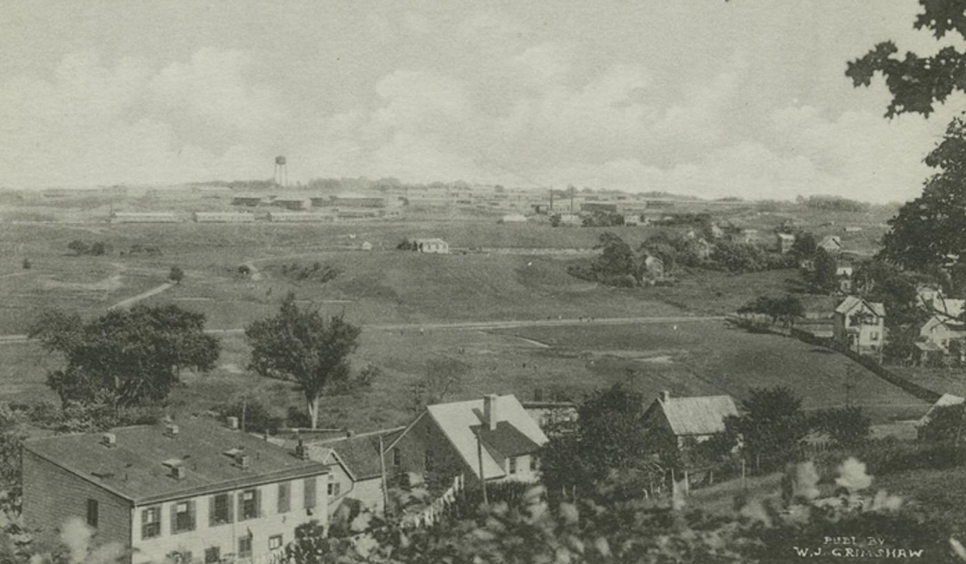
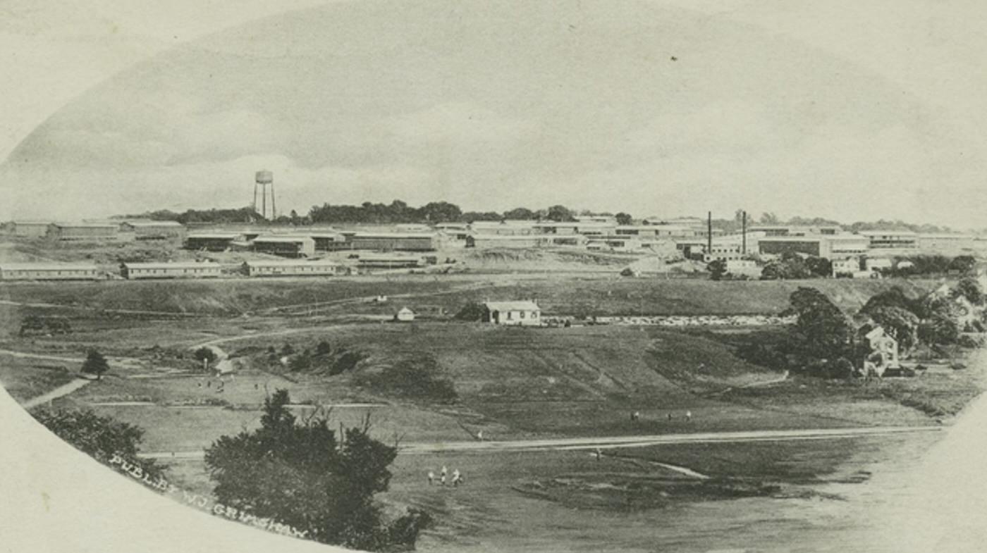
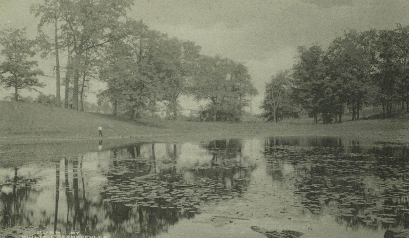
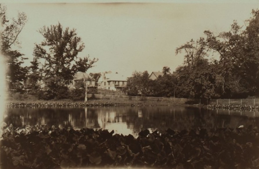
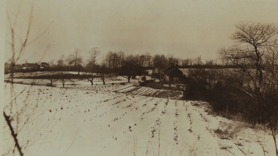
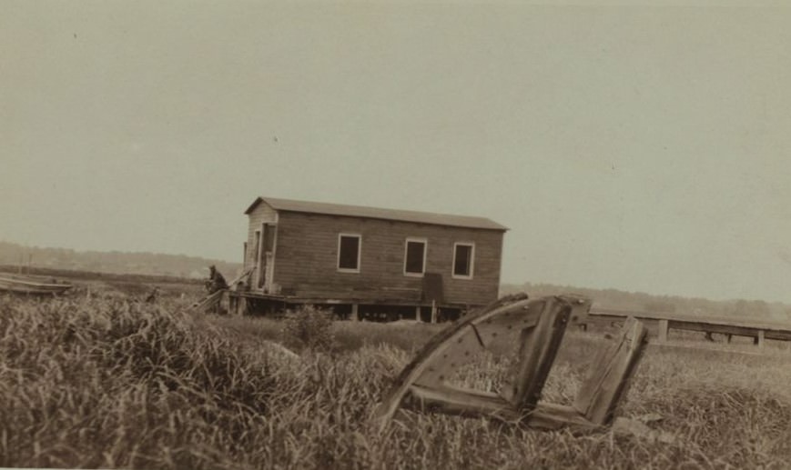
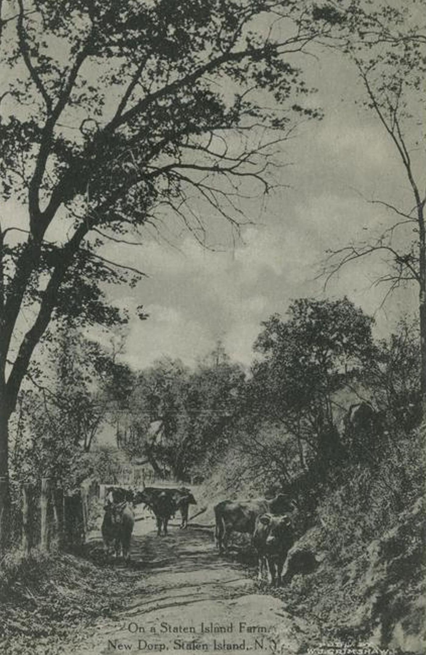
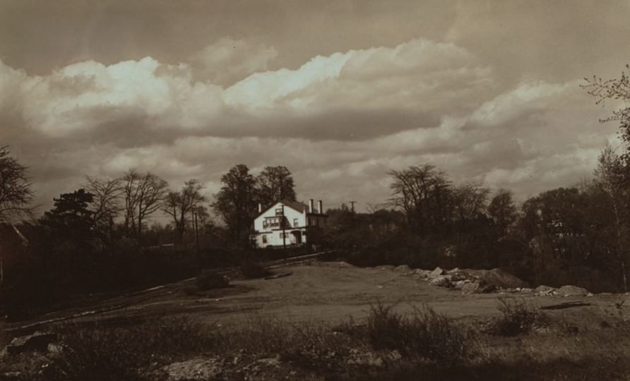
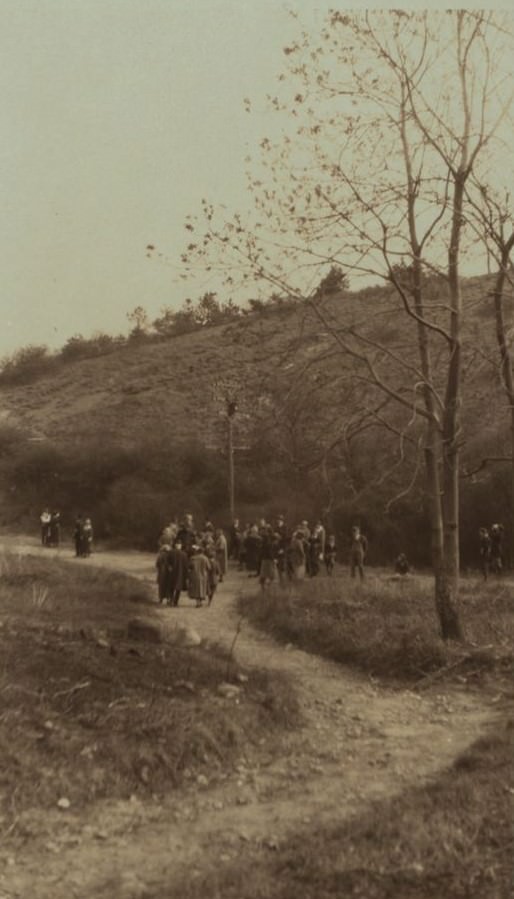
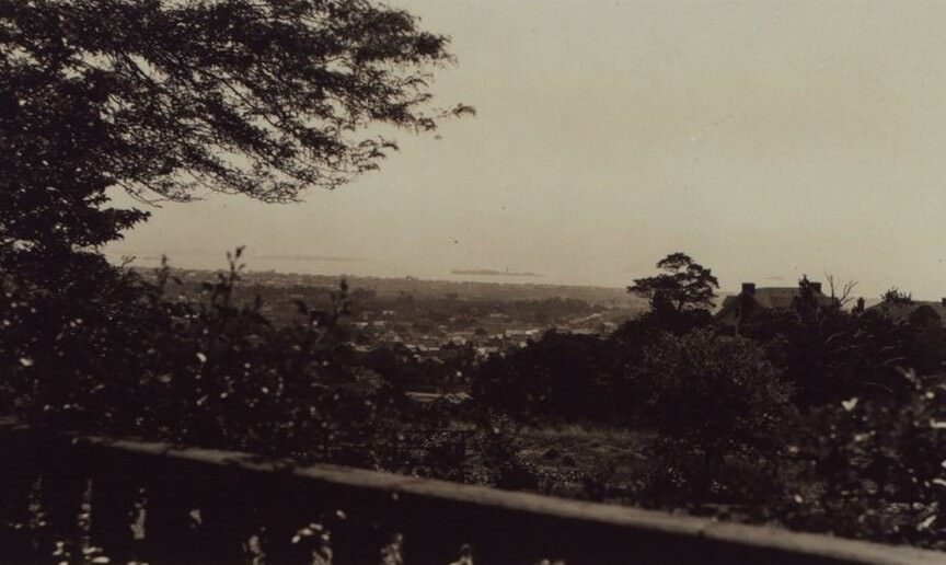
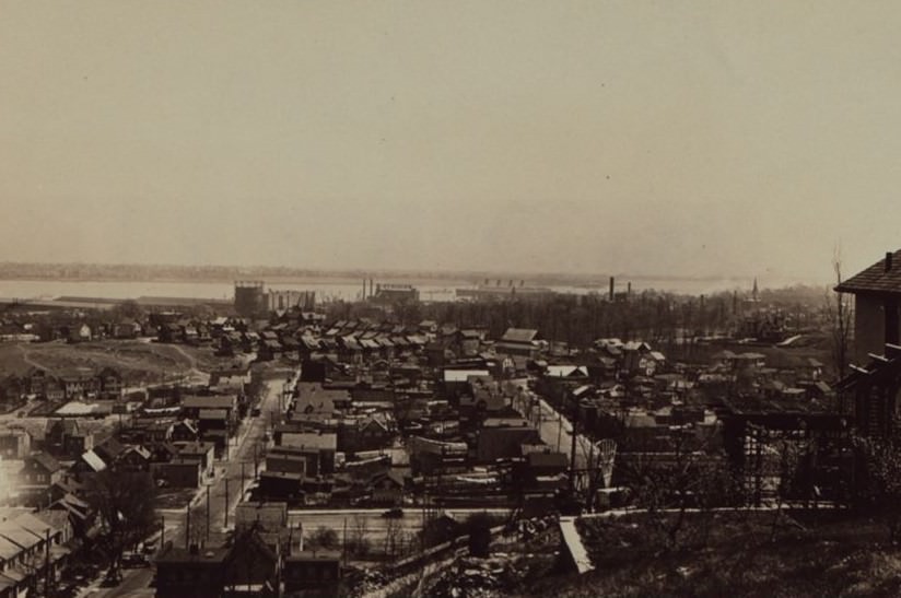
At the turn of the twentieth century, the East Shore of Staten Island presented a landscape very different from its later suburban development. Stretching south along the Lower New York Bay from the general vicinity of the Narrows, this large area was predominantly rural, marked by farms, open fields, and woodlands.
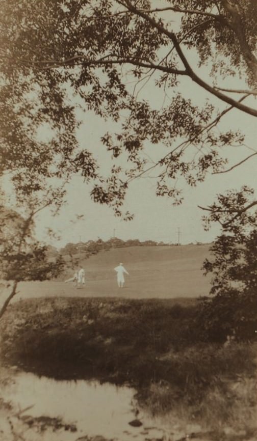
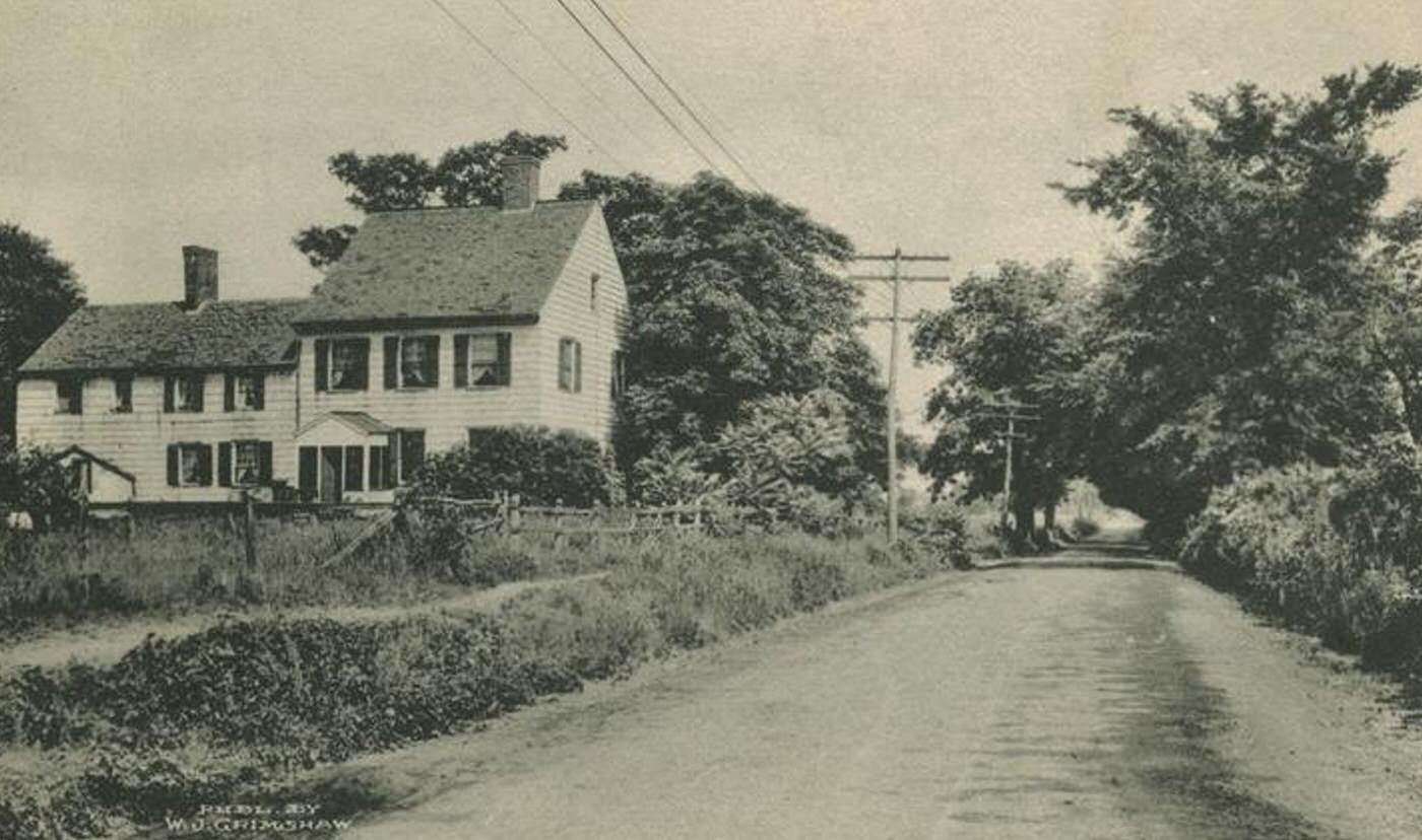
Farming was a common occupation and way of life across much of the East Shore during this era. Large tracts of land were dedicated to agriculture, supplying produce locally and to other parts of New York City. The landscape between the scattered settlements consisted mainly of these farms, along with undeveloped woods and meadowlands. This stood in contrast to the more densely populated and industrialized North Shore.
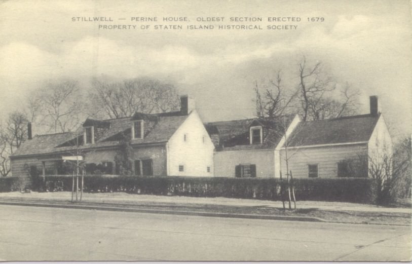
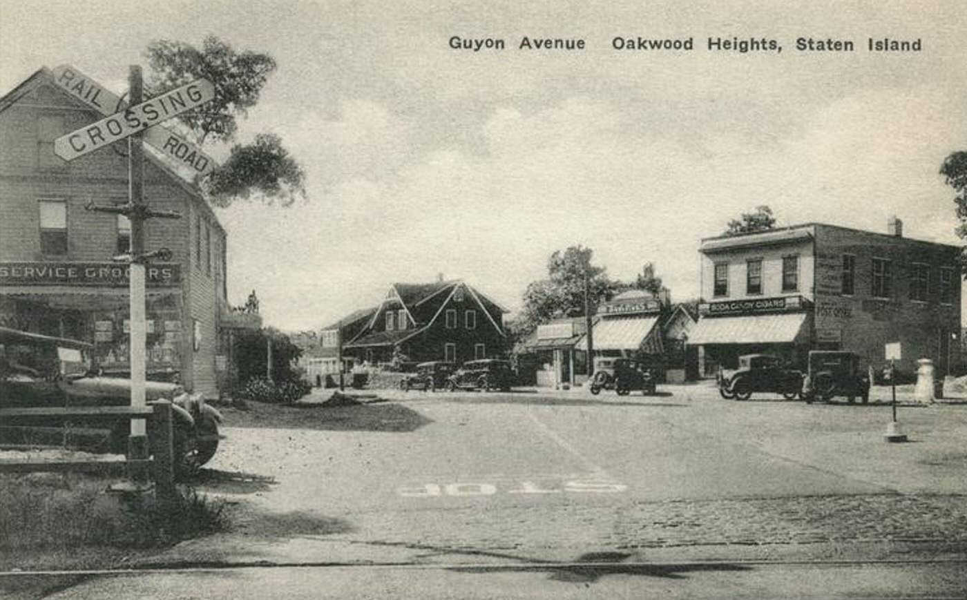
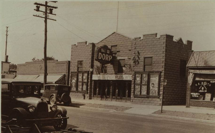
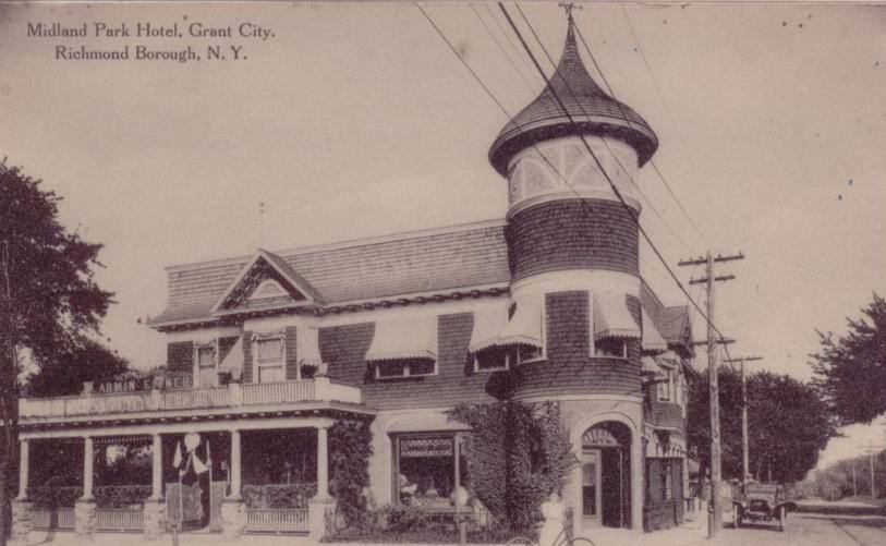
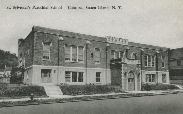
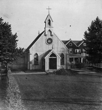
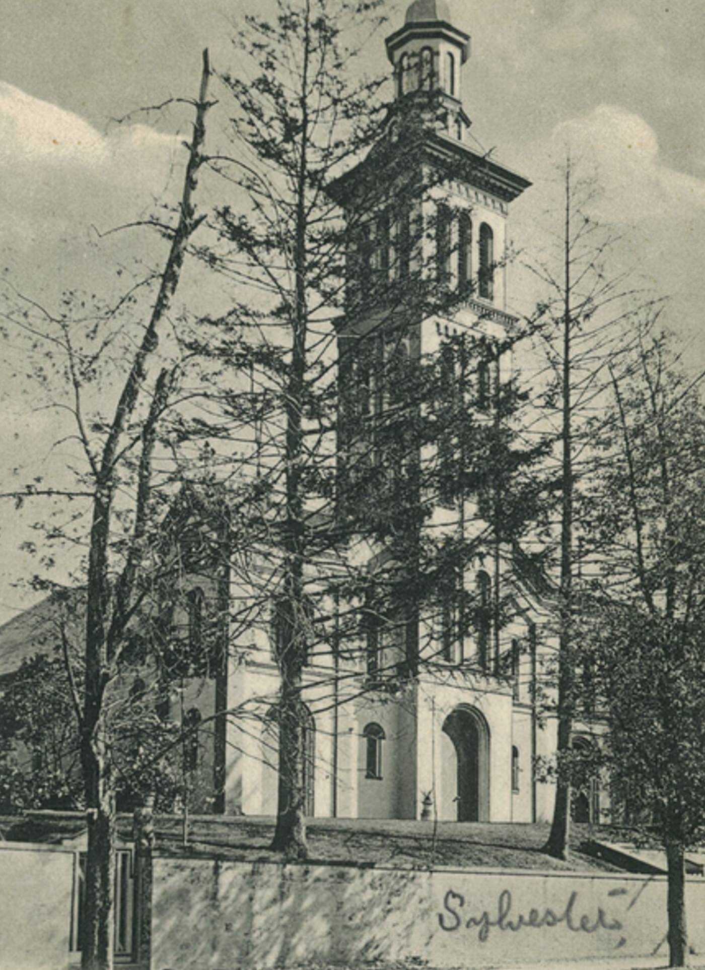
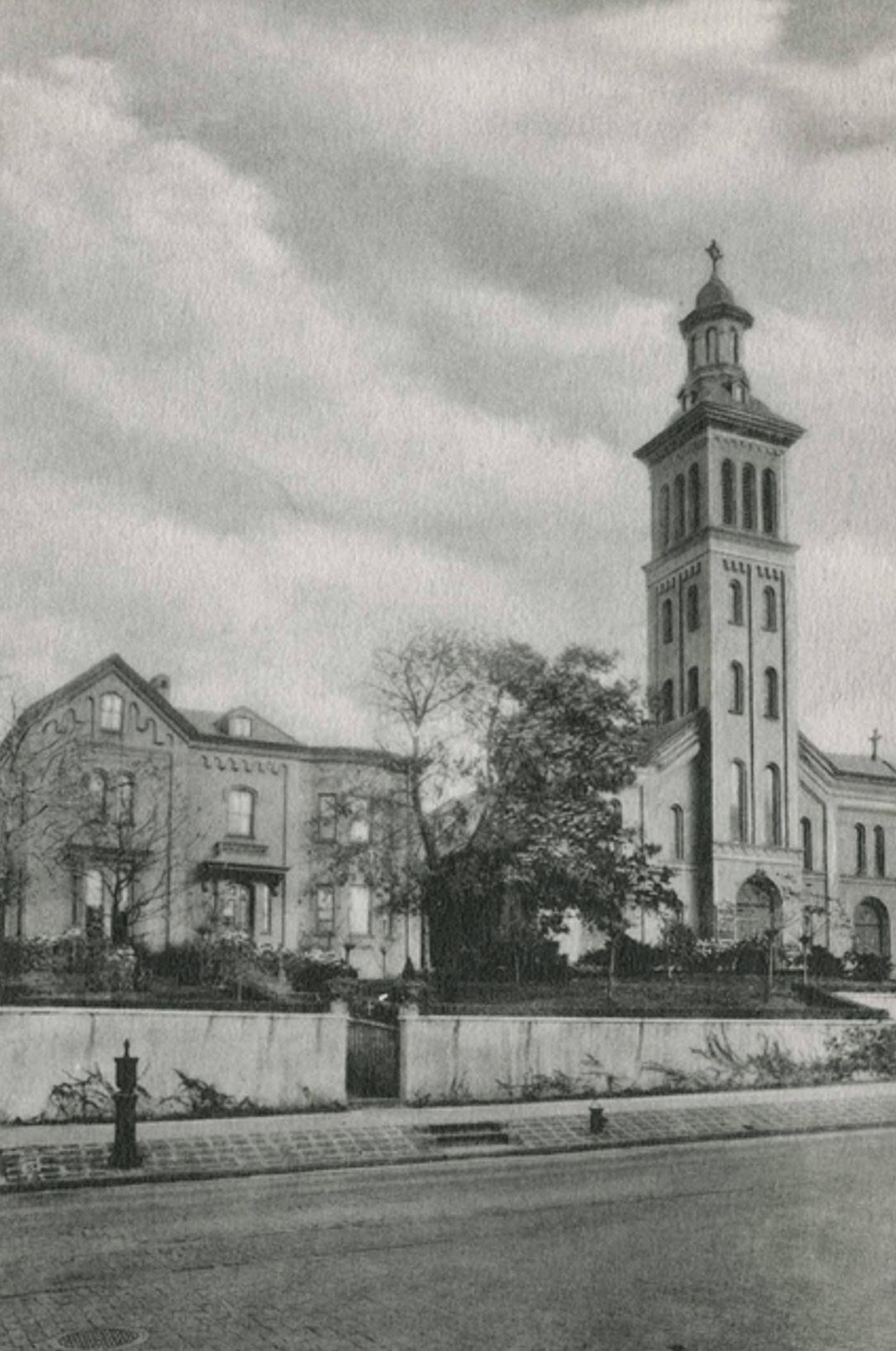
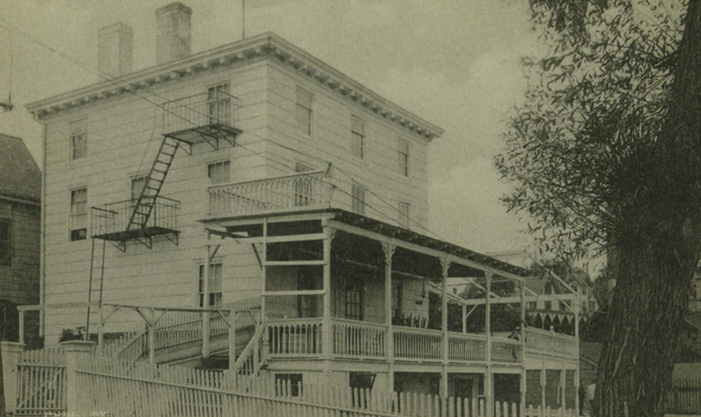
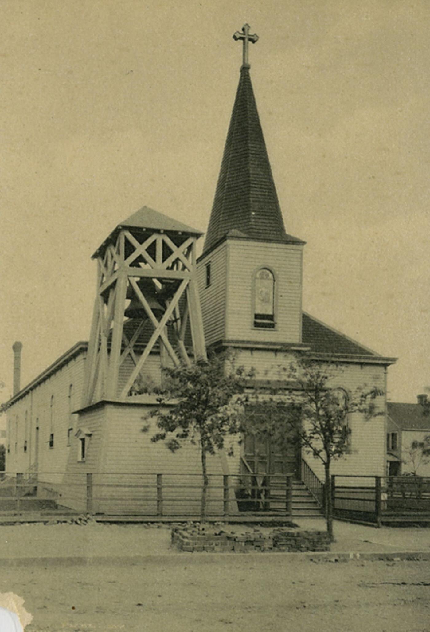
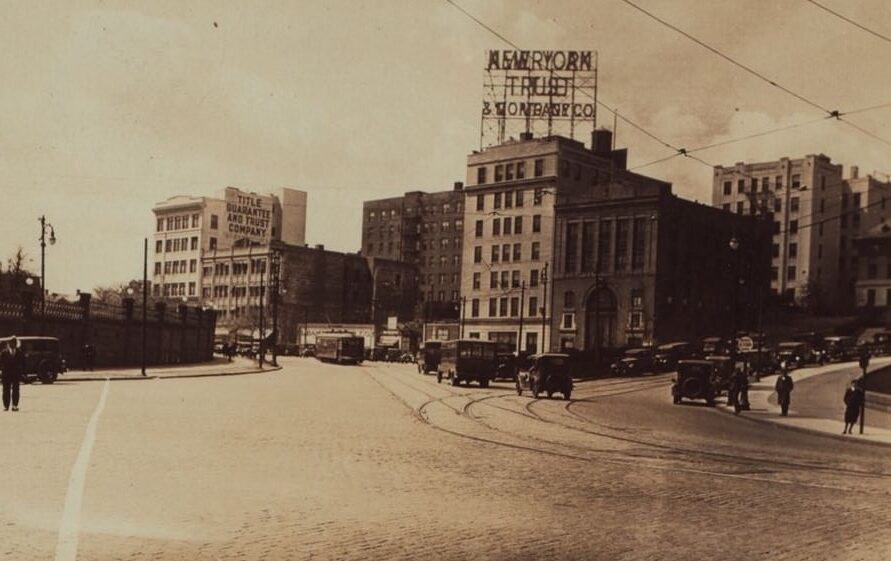
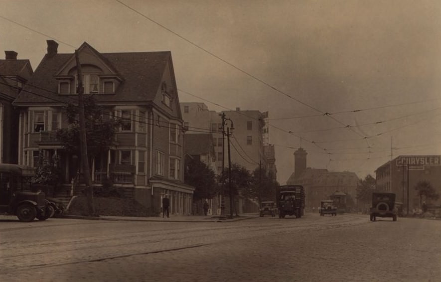
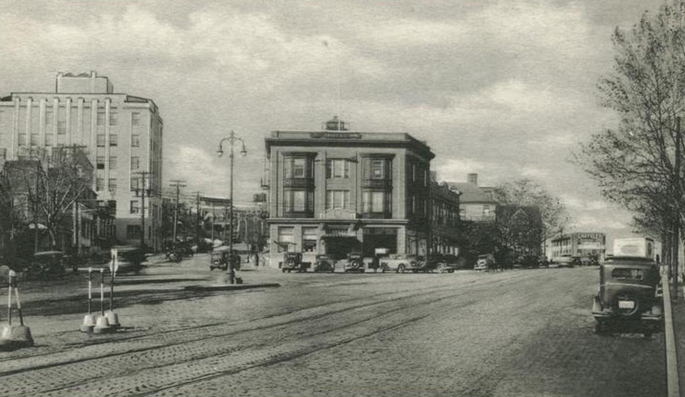
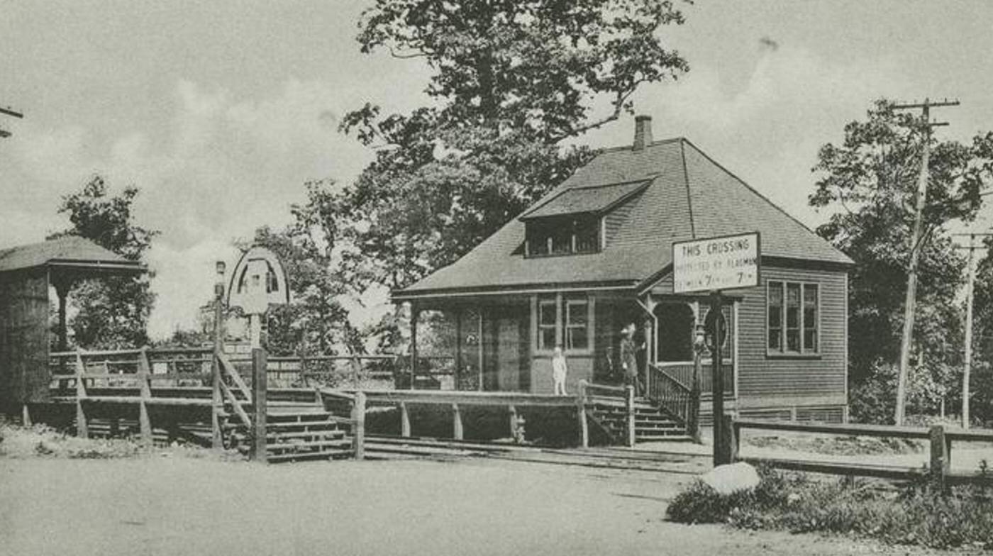
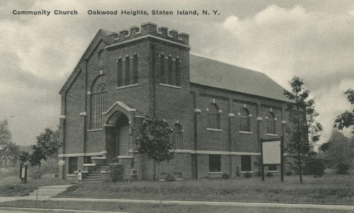
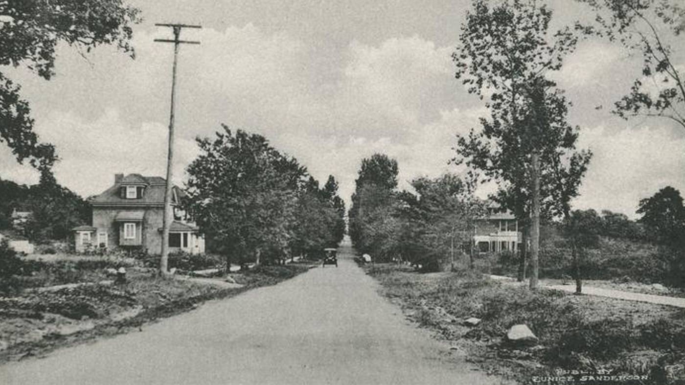
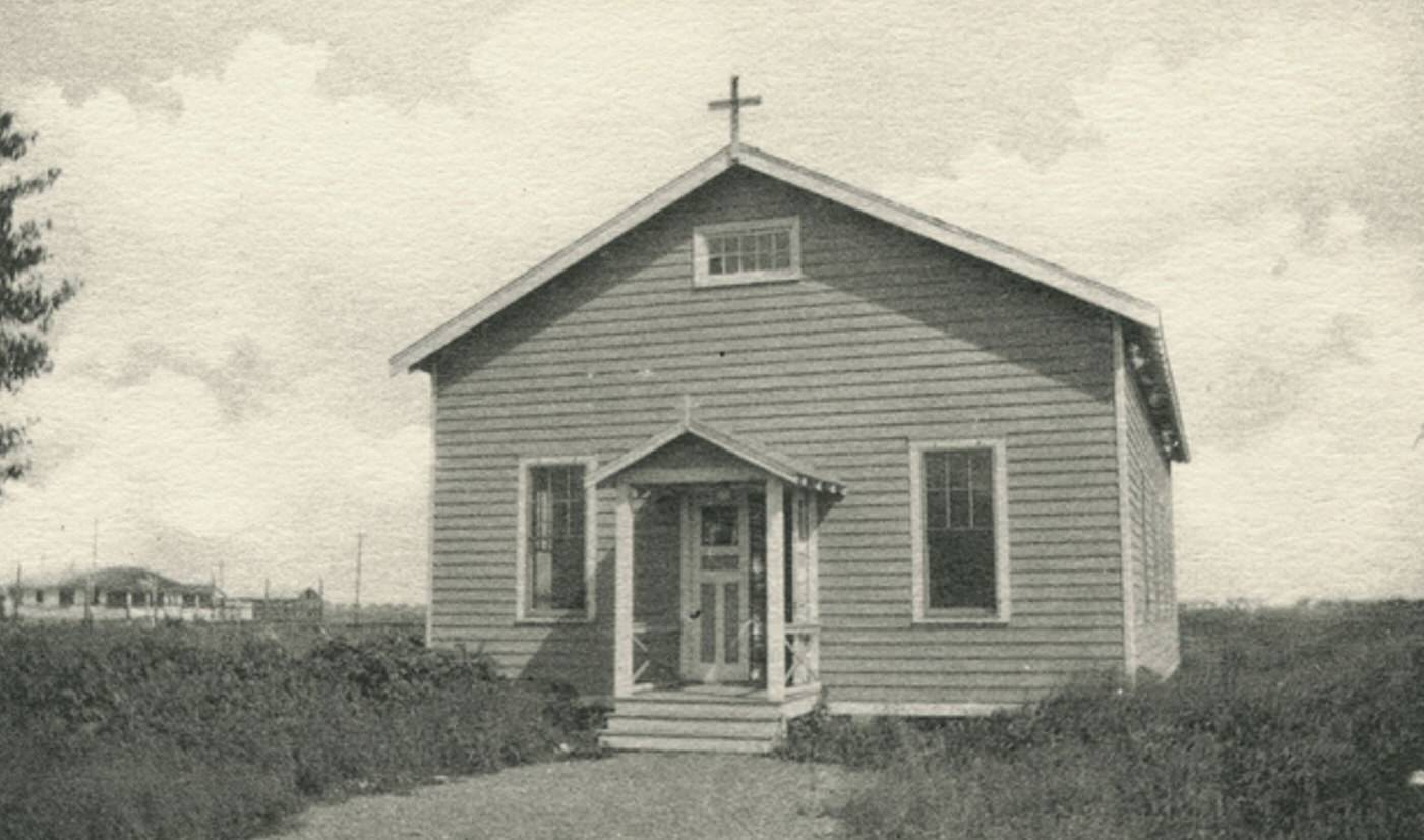
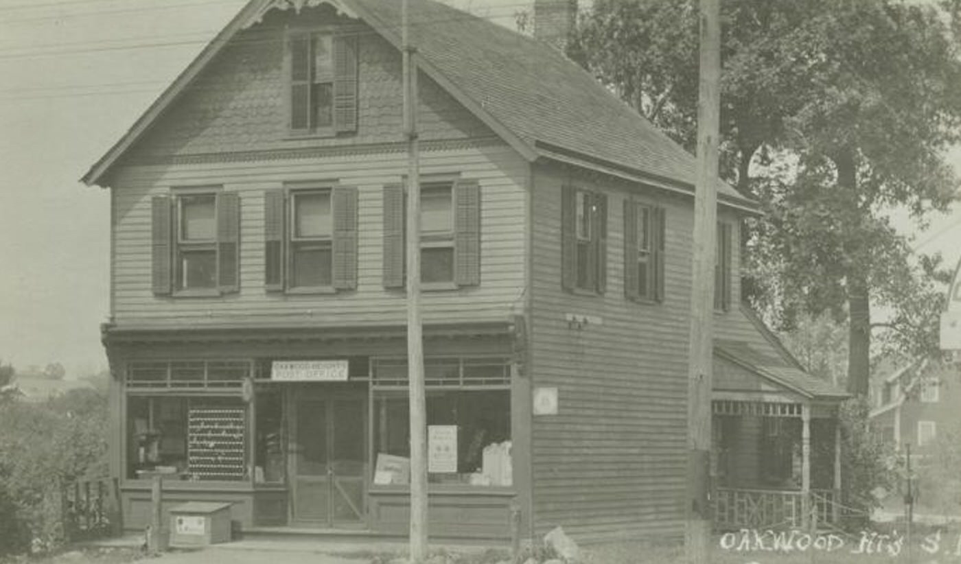
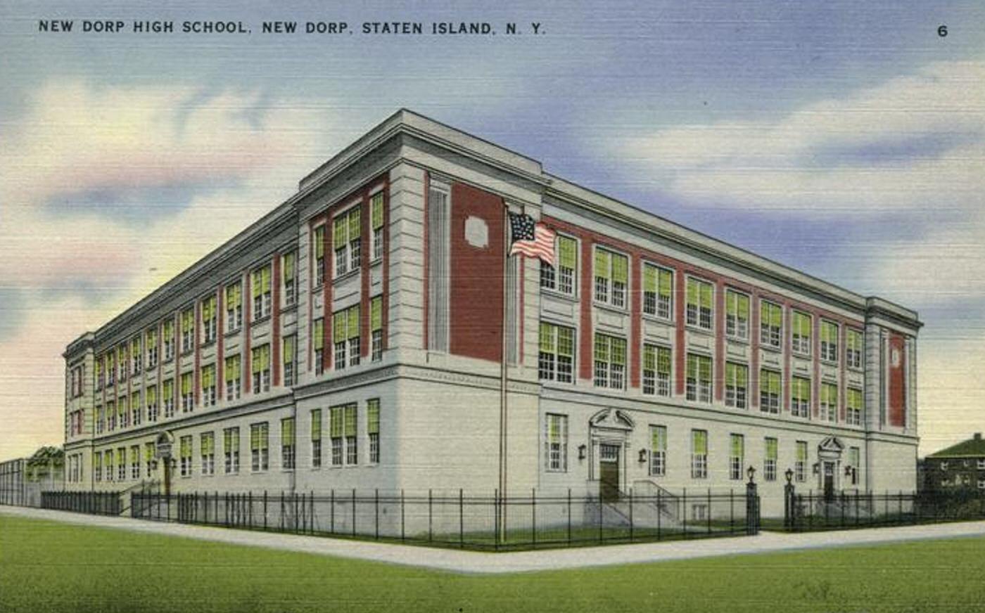
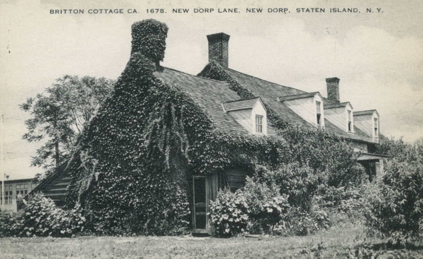
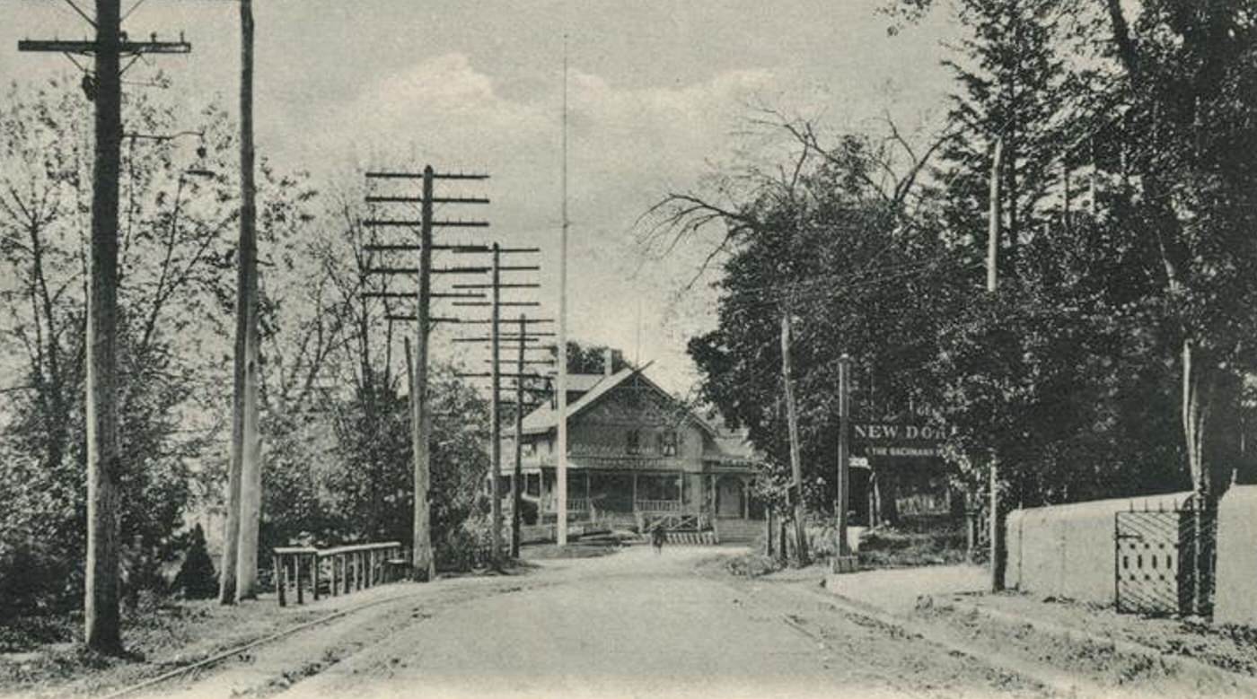
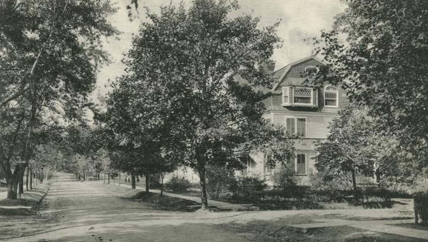
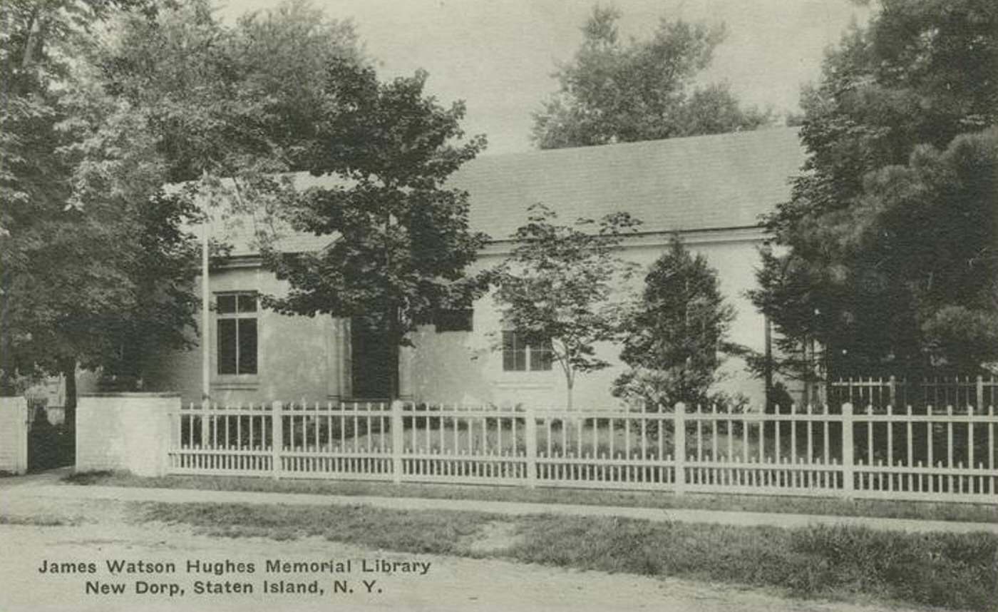
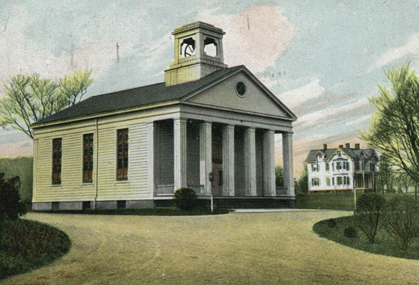
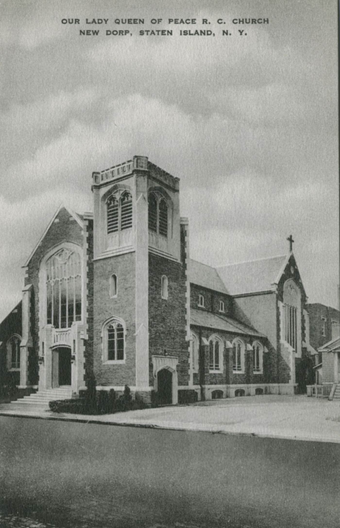
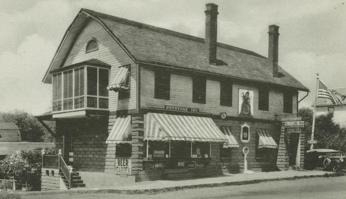
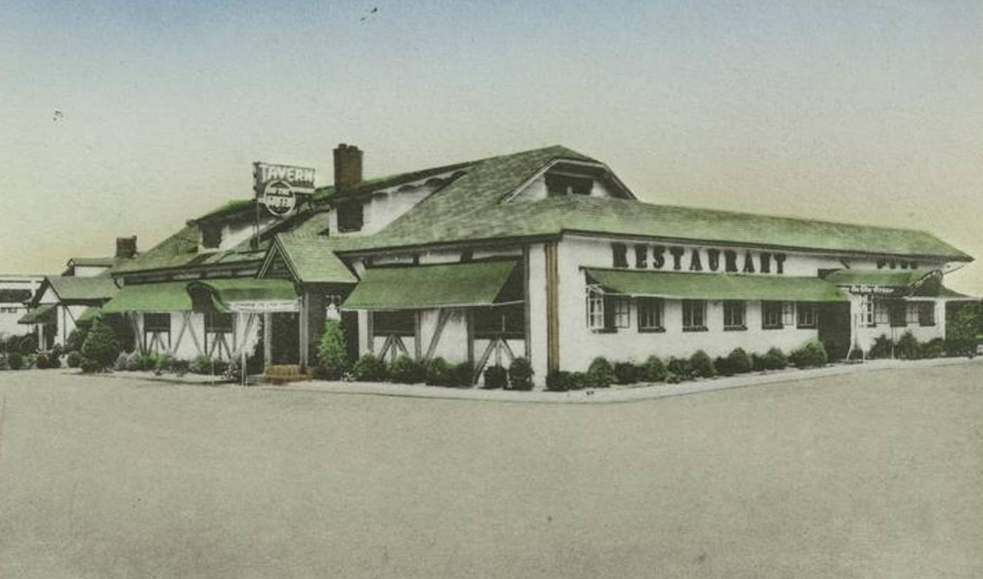
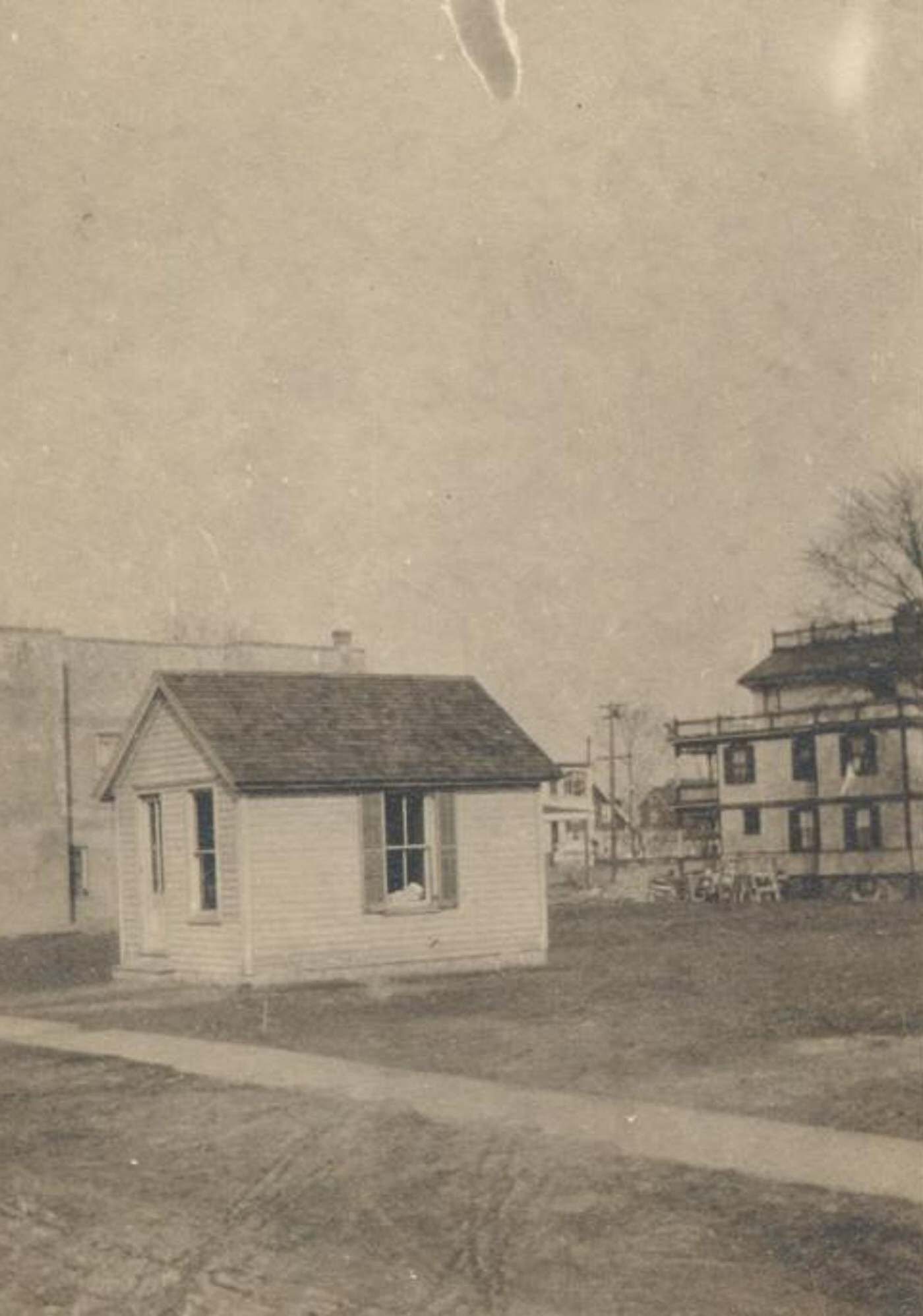
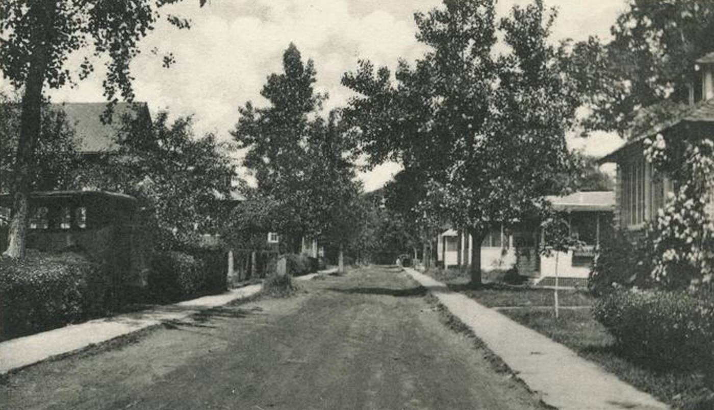
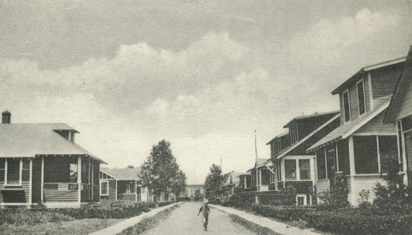
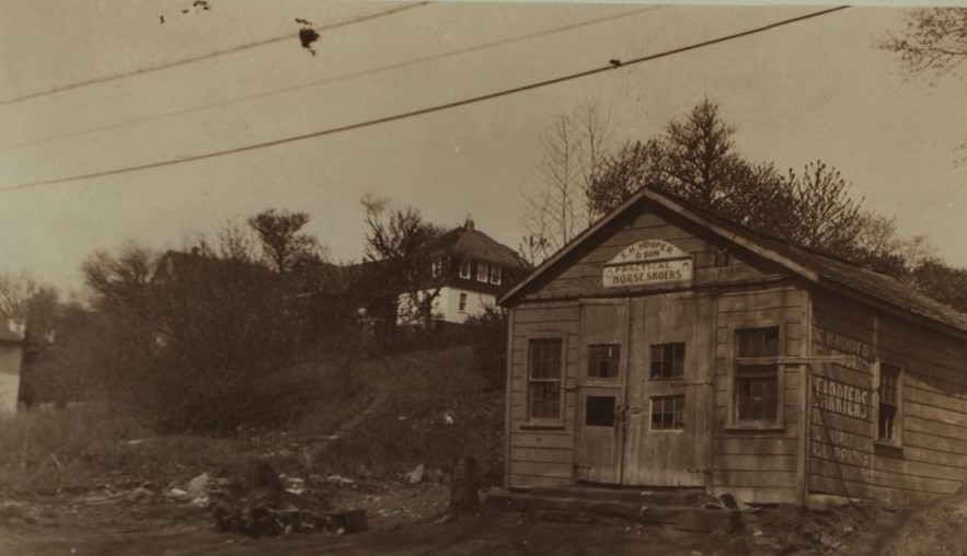
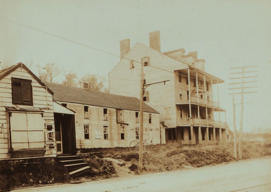
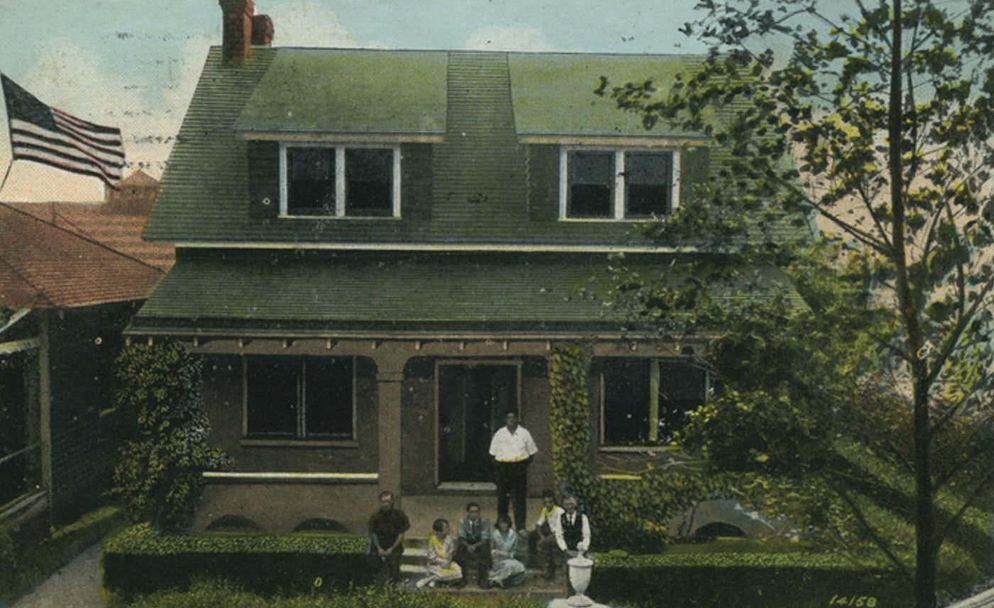
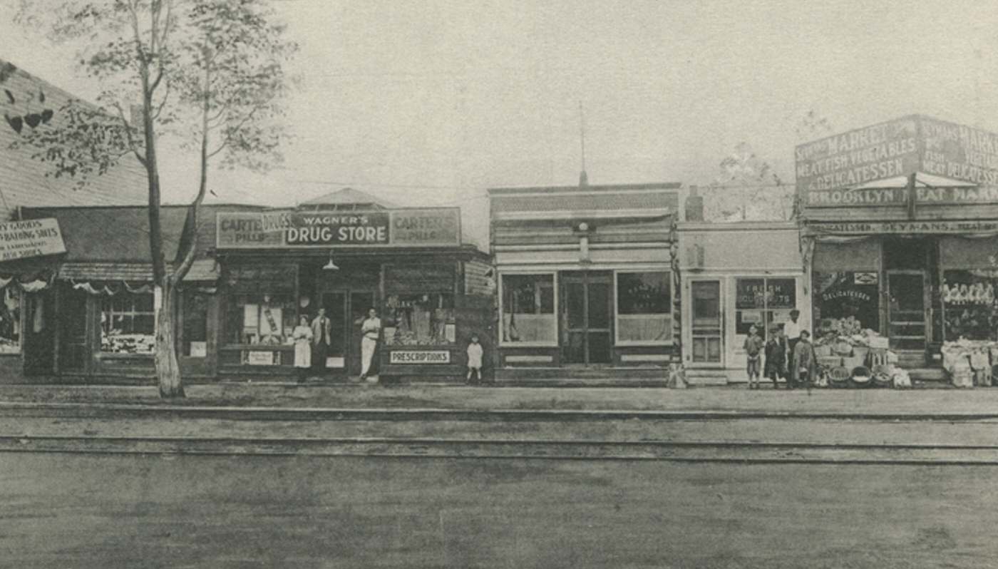
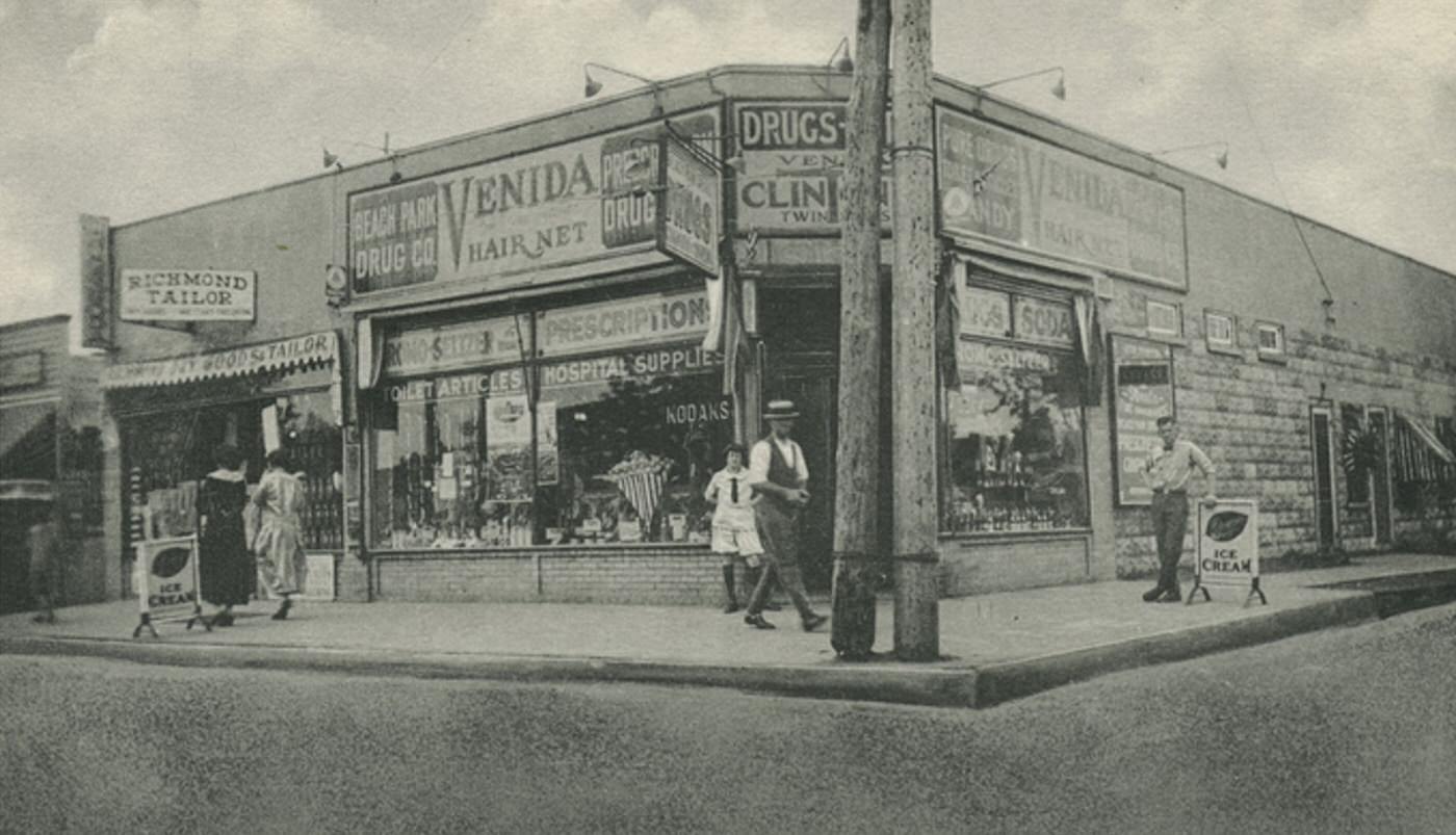
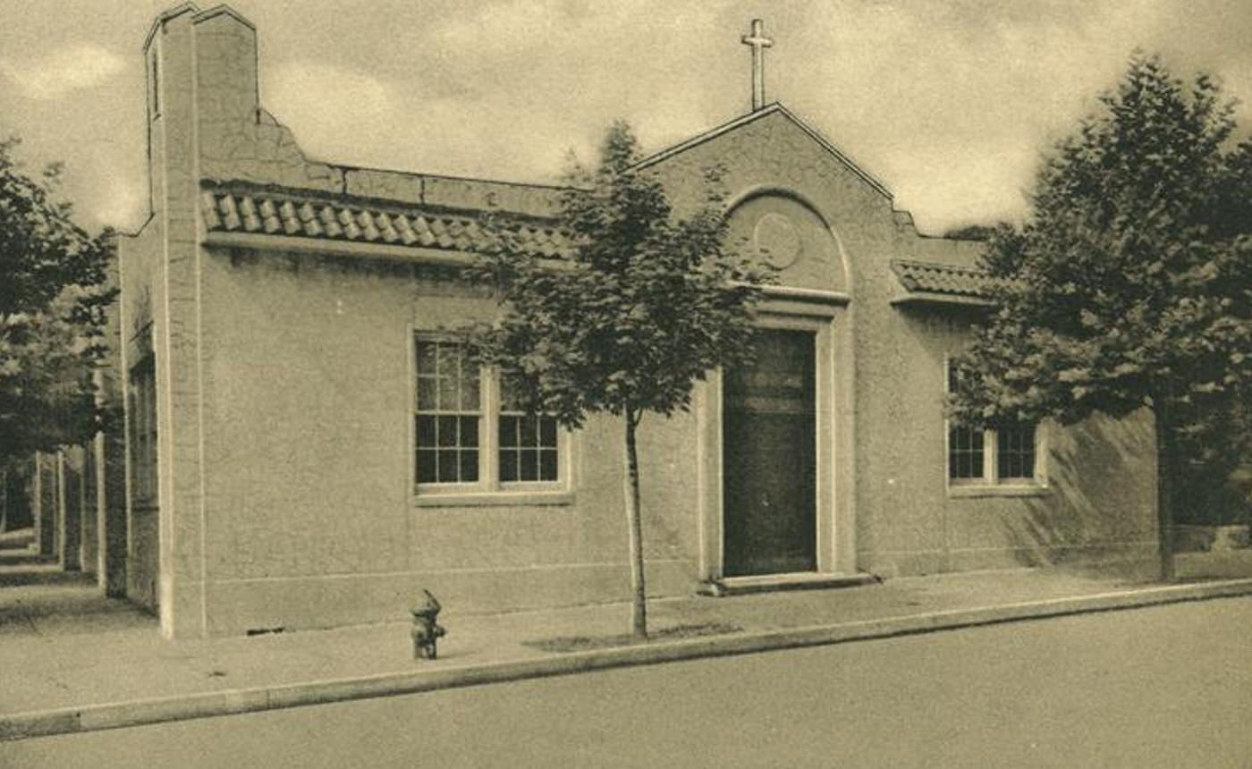
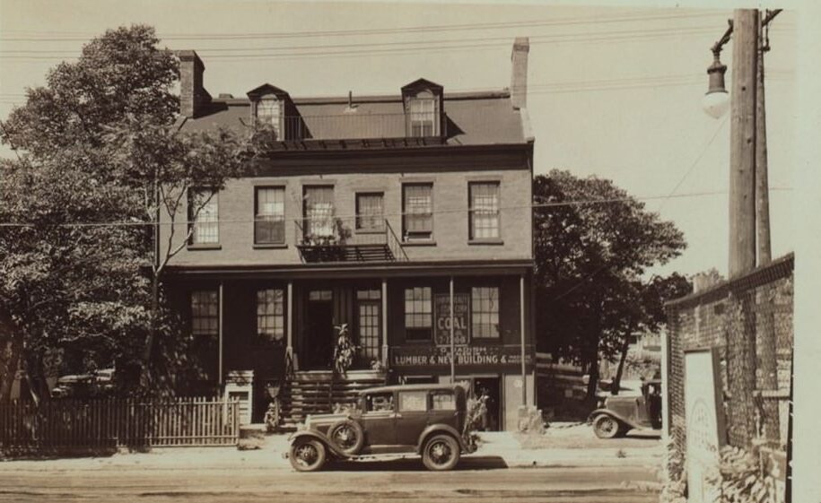
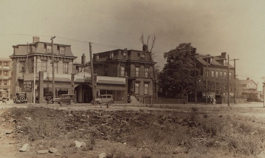
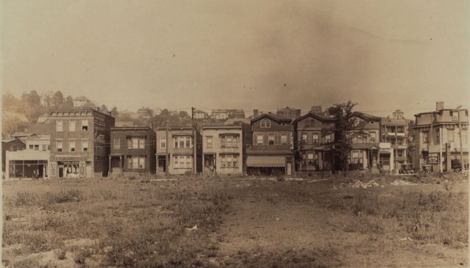
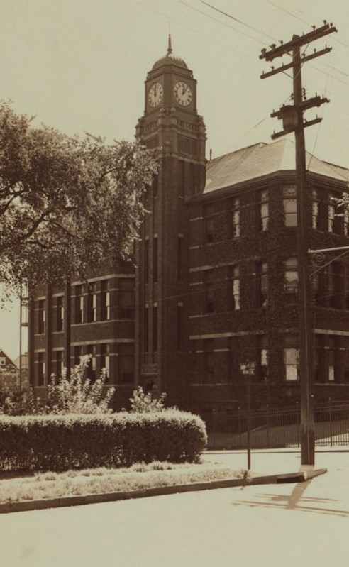
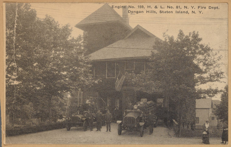
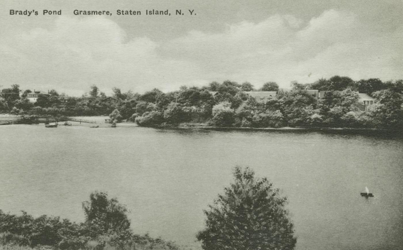
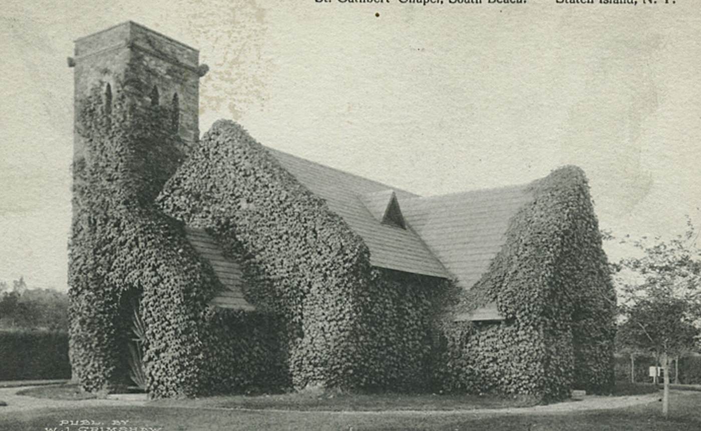
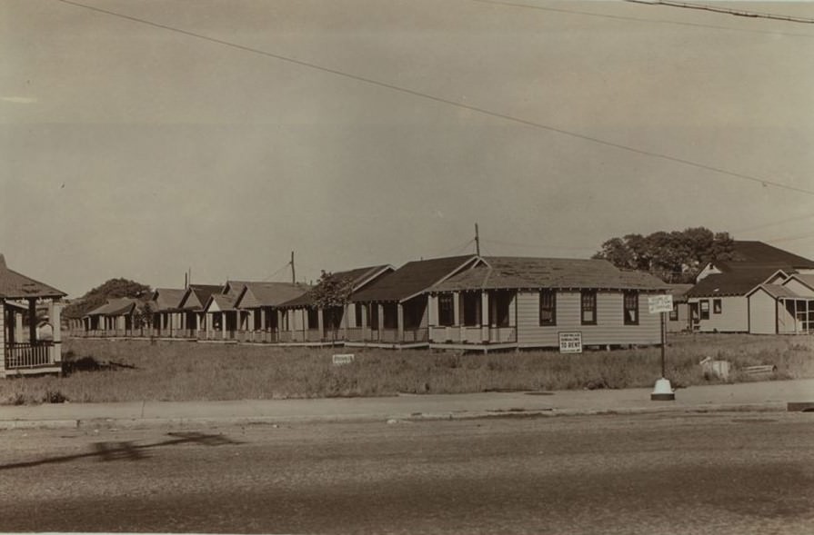
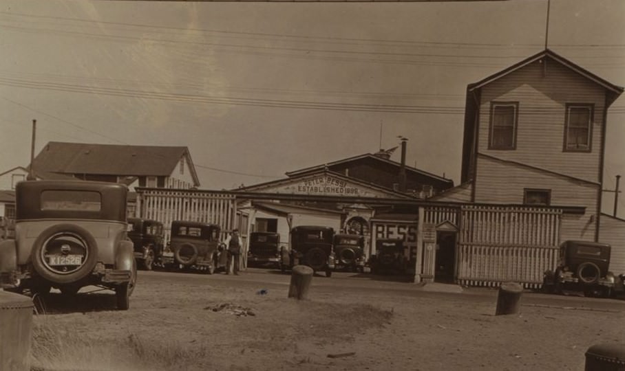
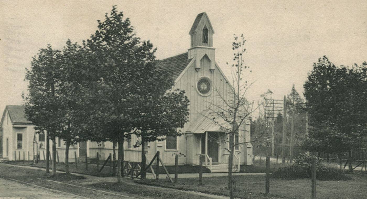
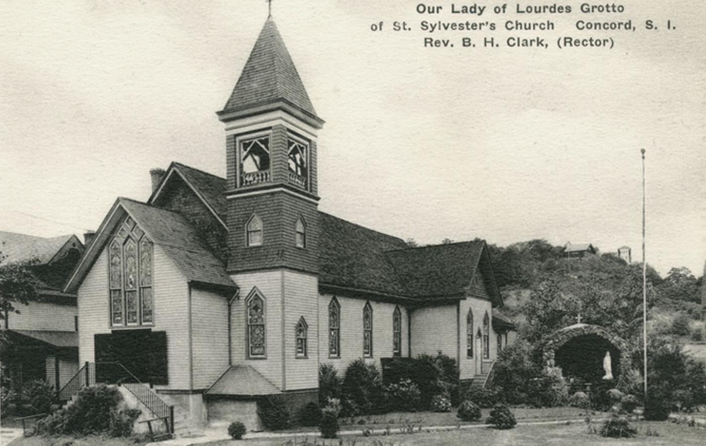
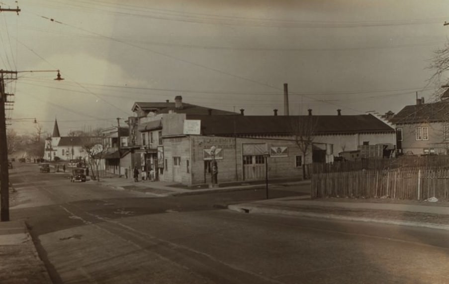
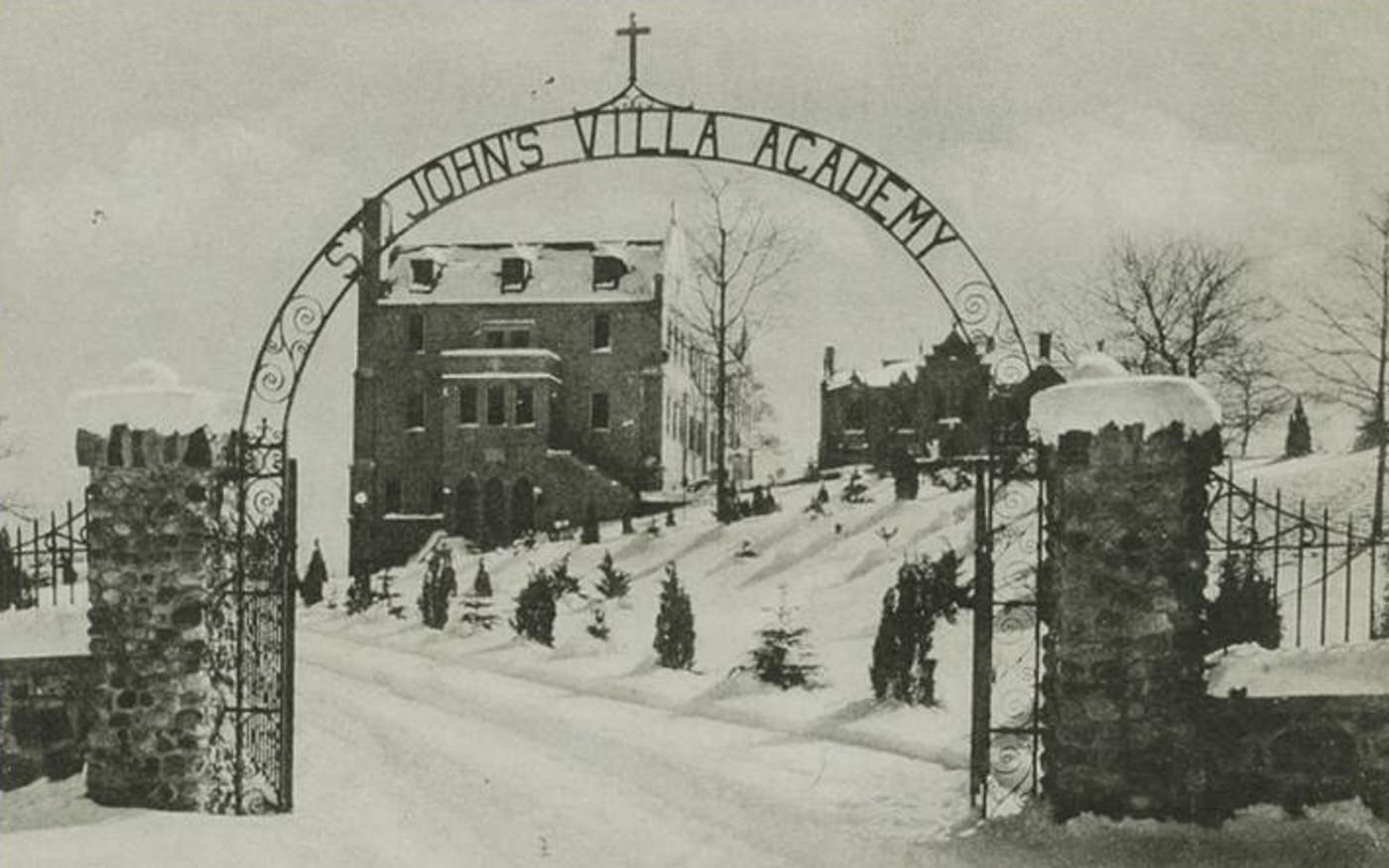
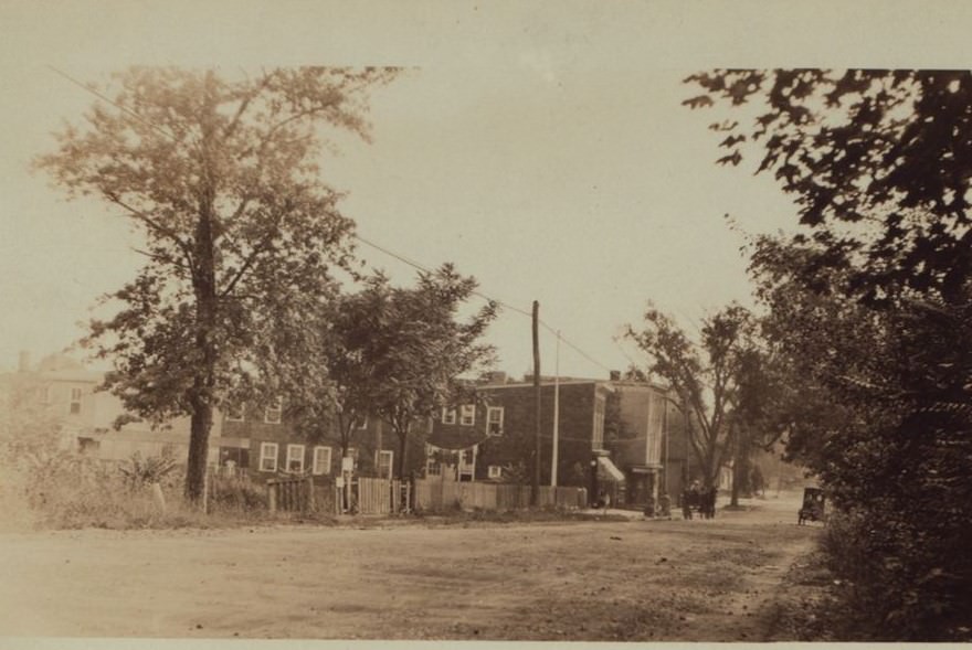
Within this rural expanse existed several distinct villages and small communities. Places like New Dorp, Oakwood, Dongan Hills, Grant City, Grasmere, and the historic village of Richmond Town served as local centers for residents. These settlements often grew around stations along the Staten Island Railway or at established crossroads connecting older roads like Amboy Road and Richmond Road. They contained homes, local churches, schools, and a few essential shops or businesses serving the immediate area.
Read more
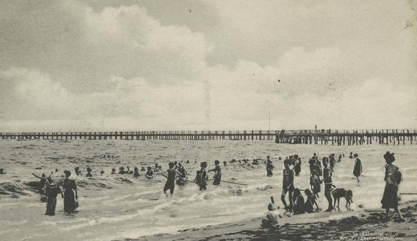
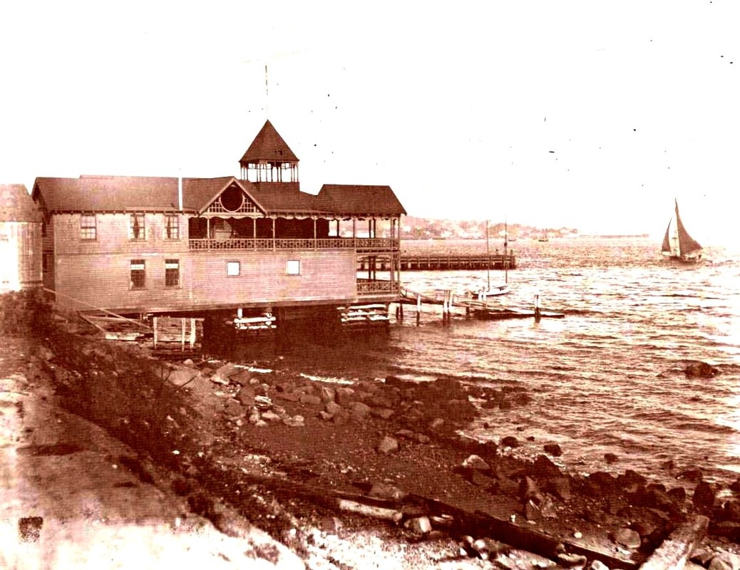
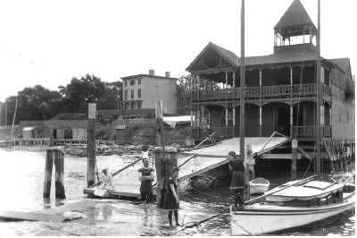
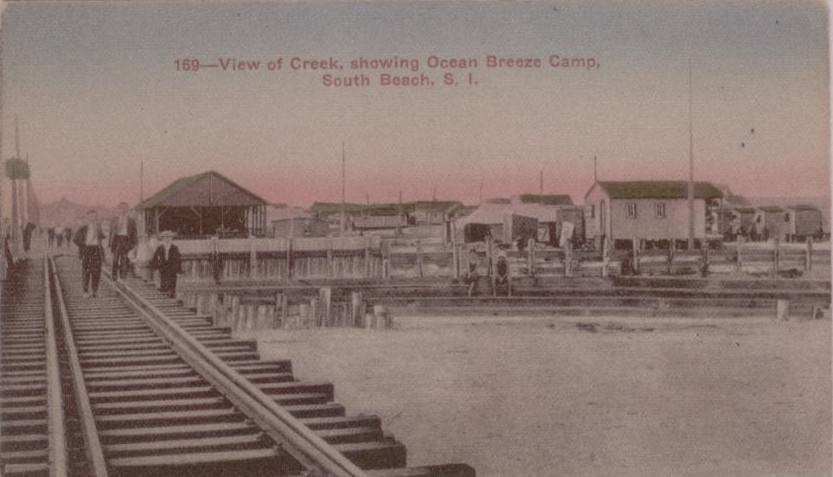
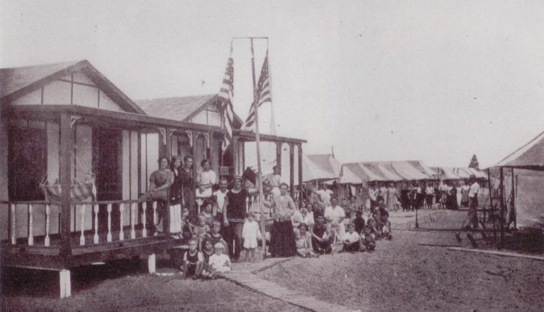
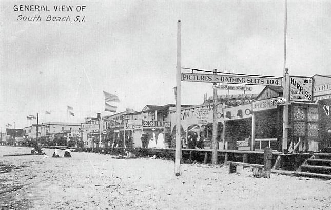
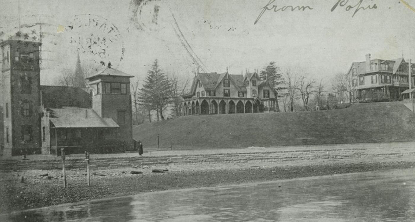
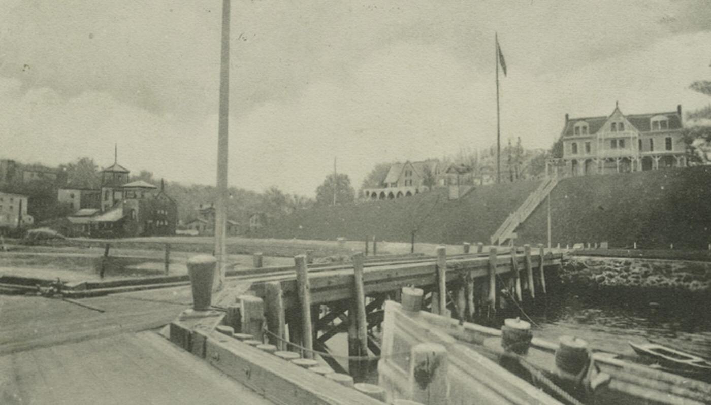
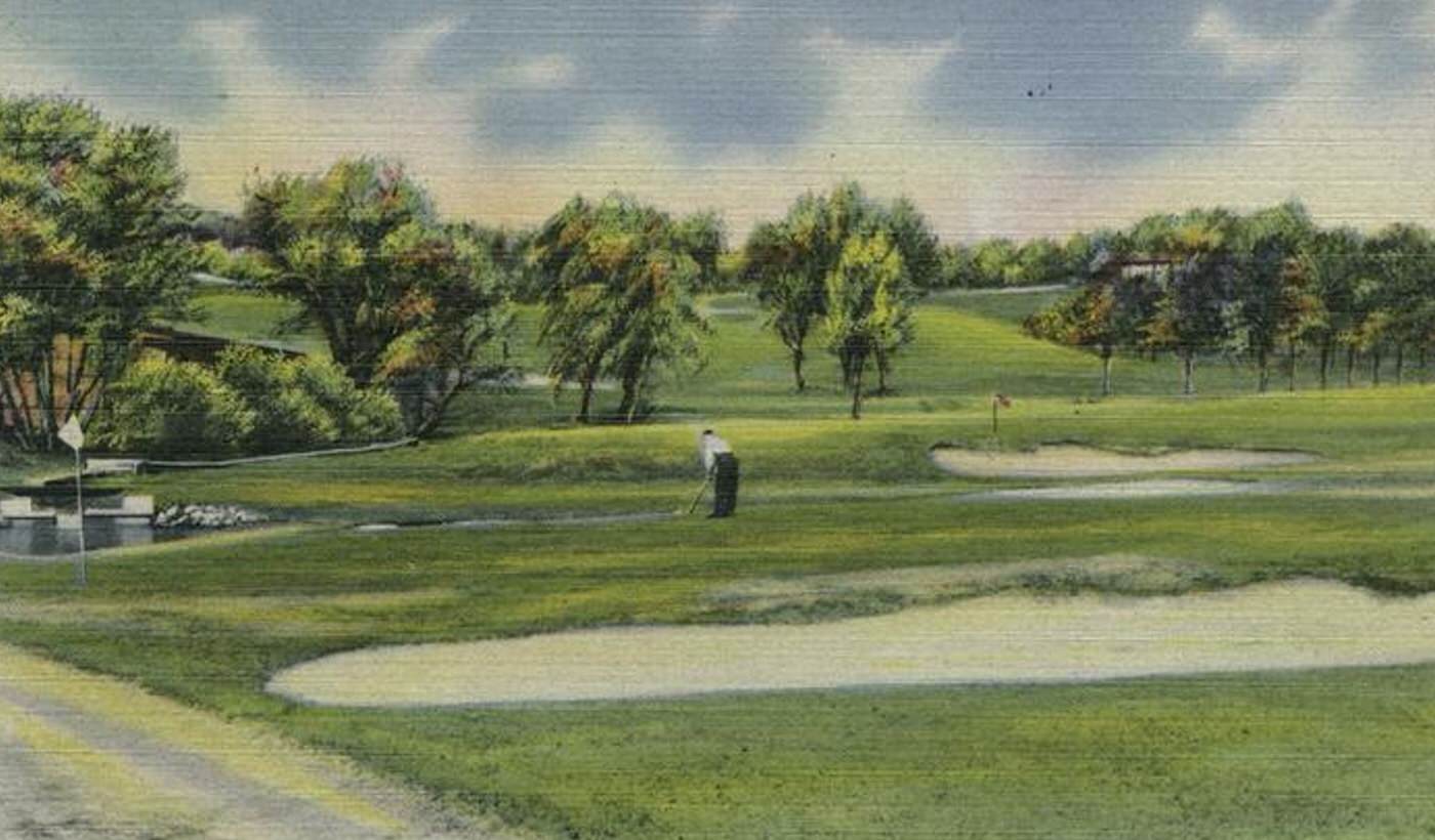
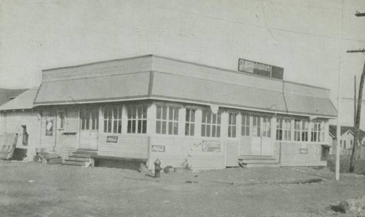
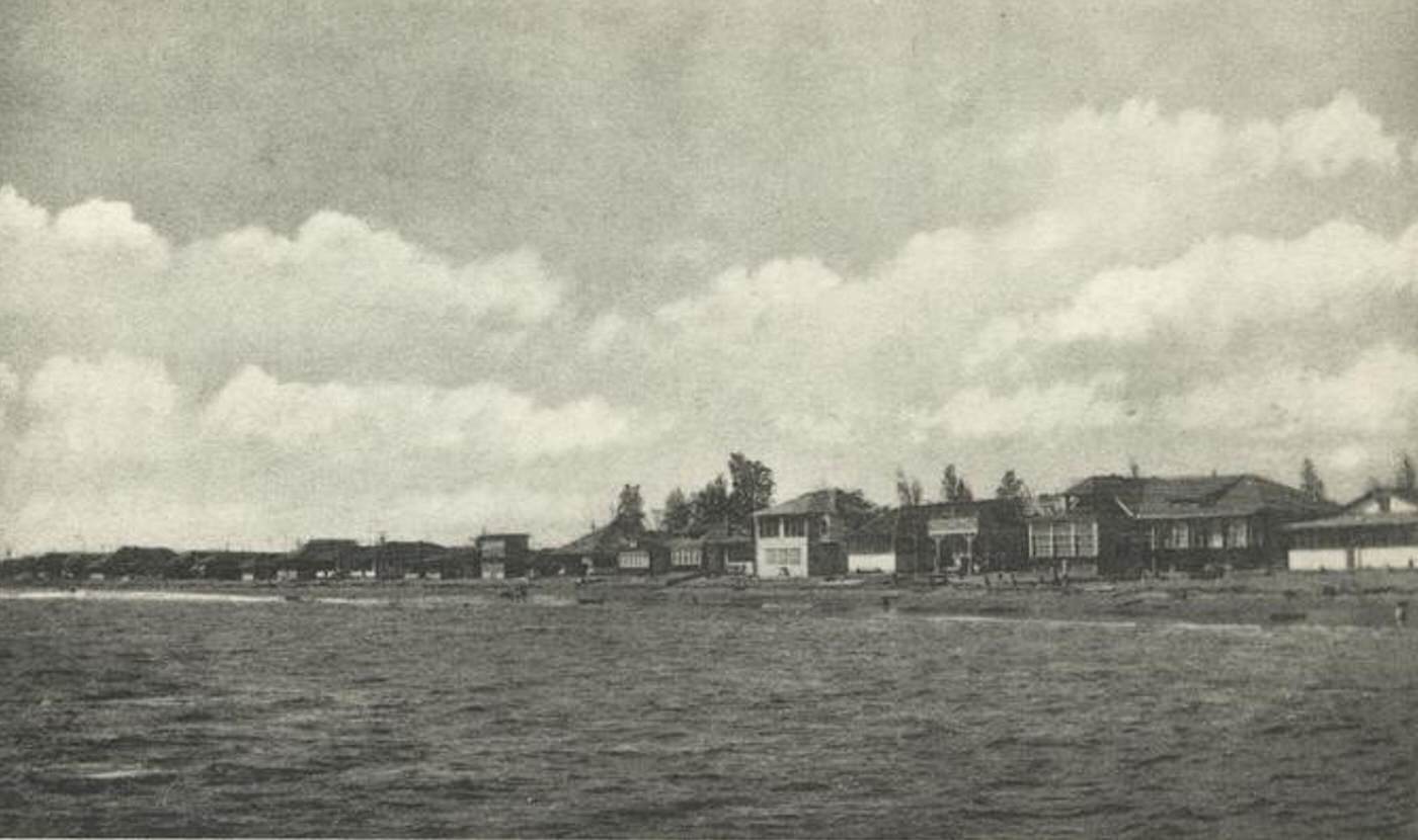
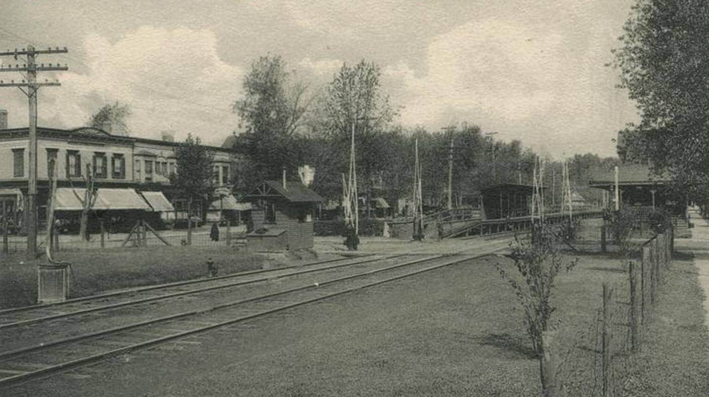
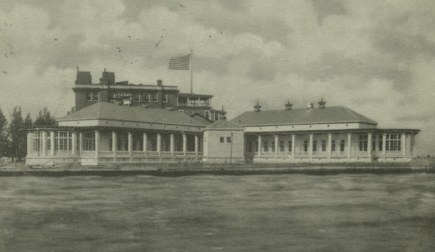
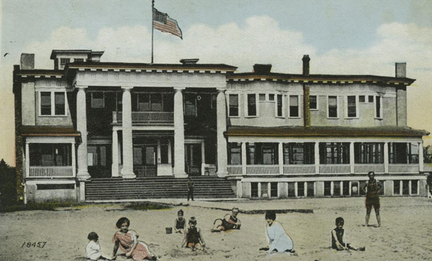
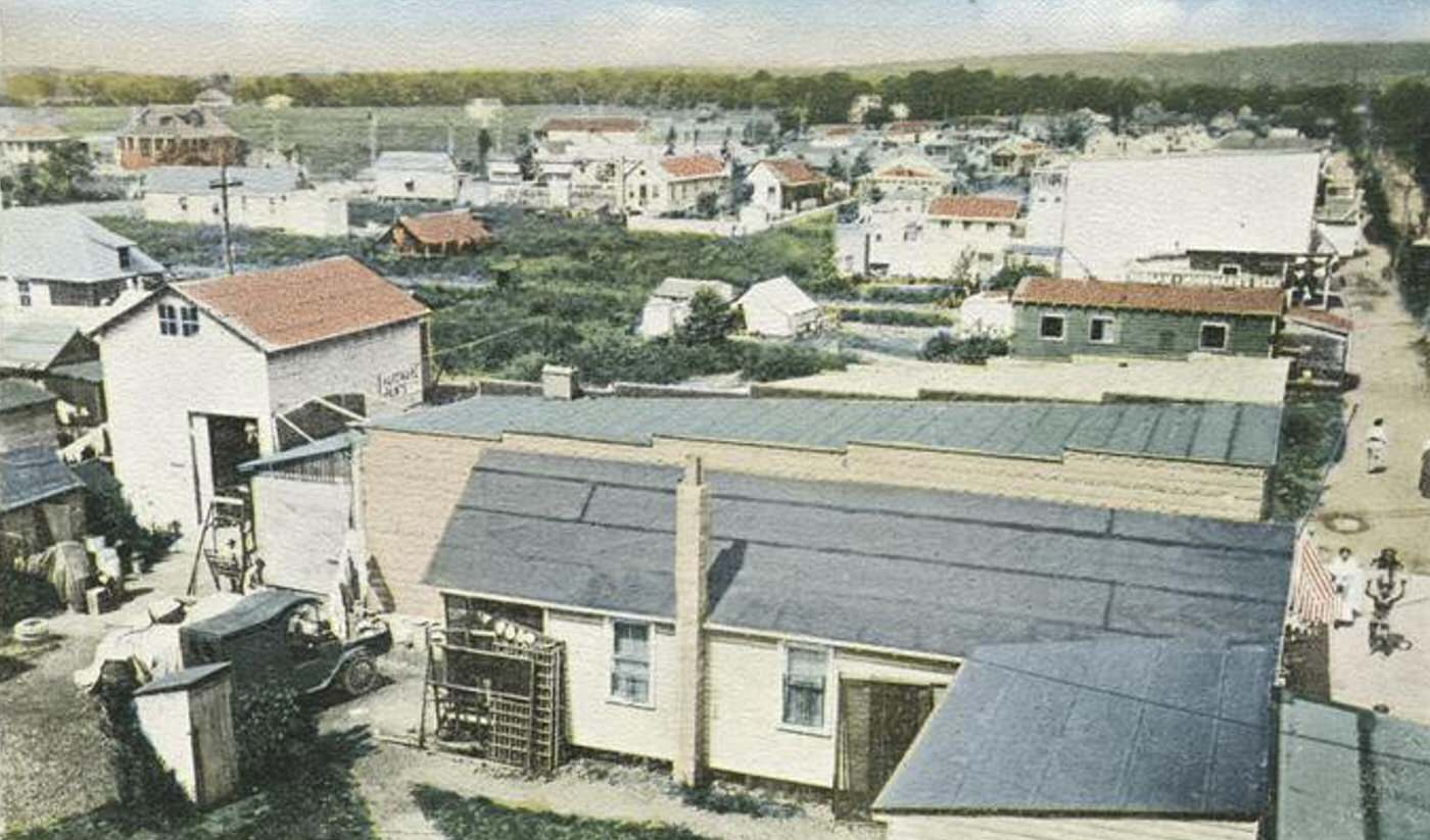
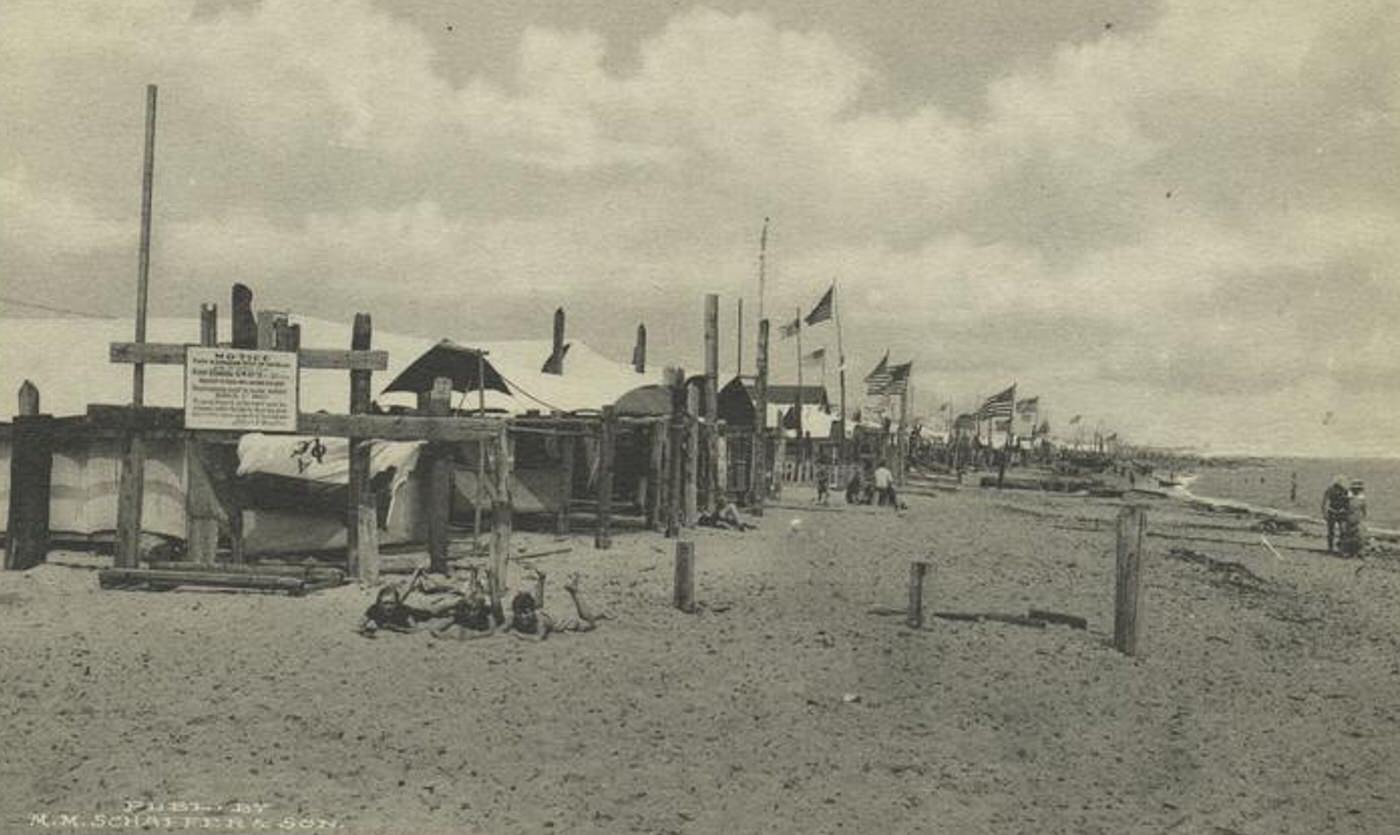
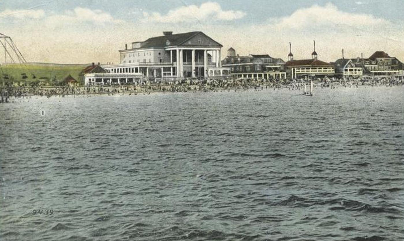
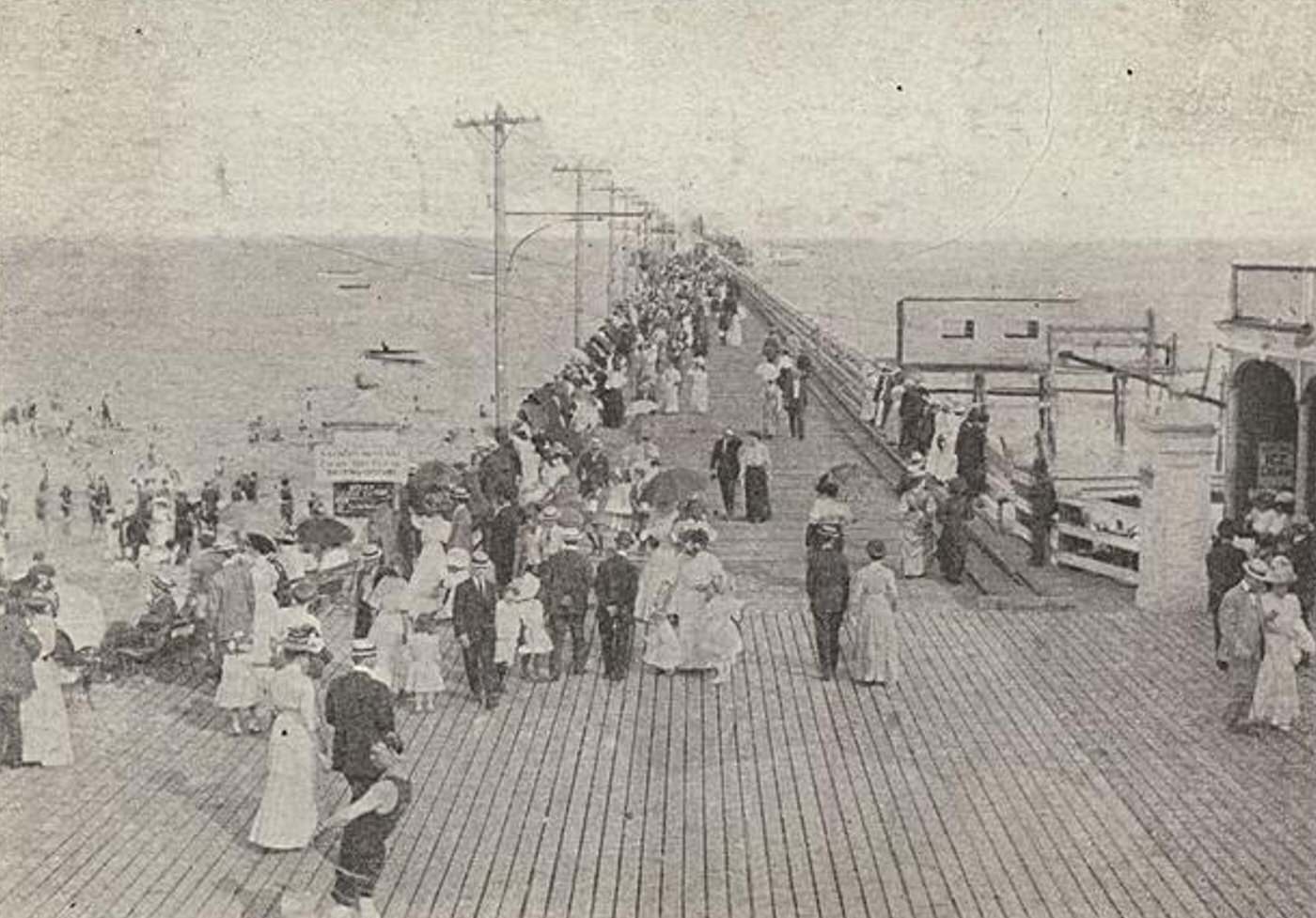
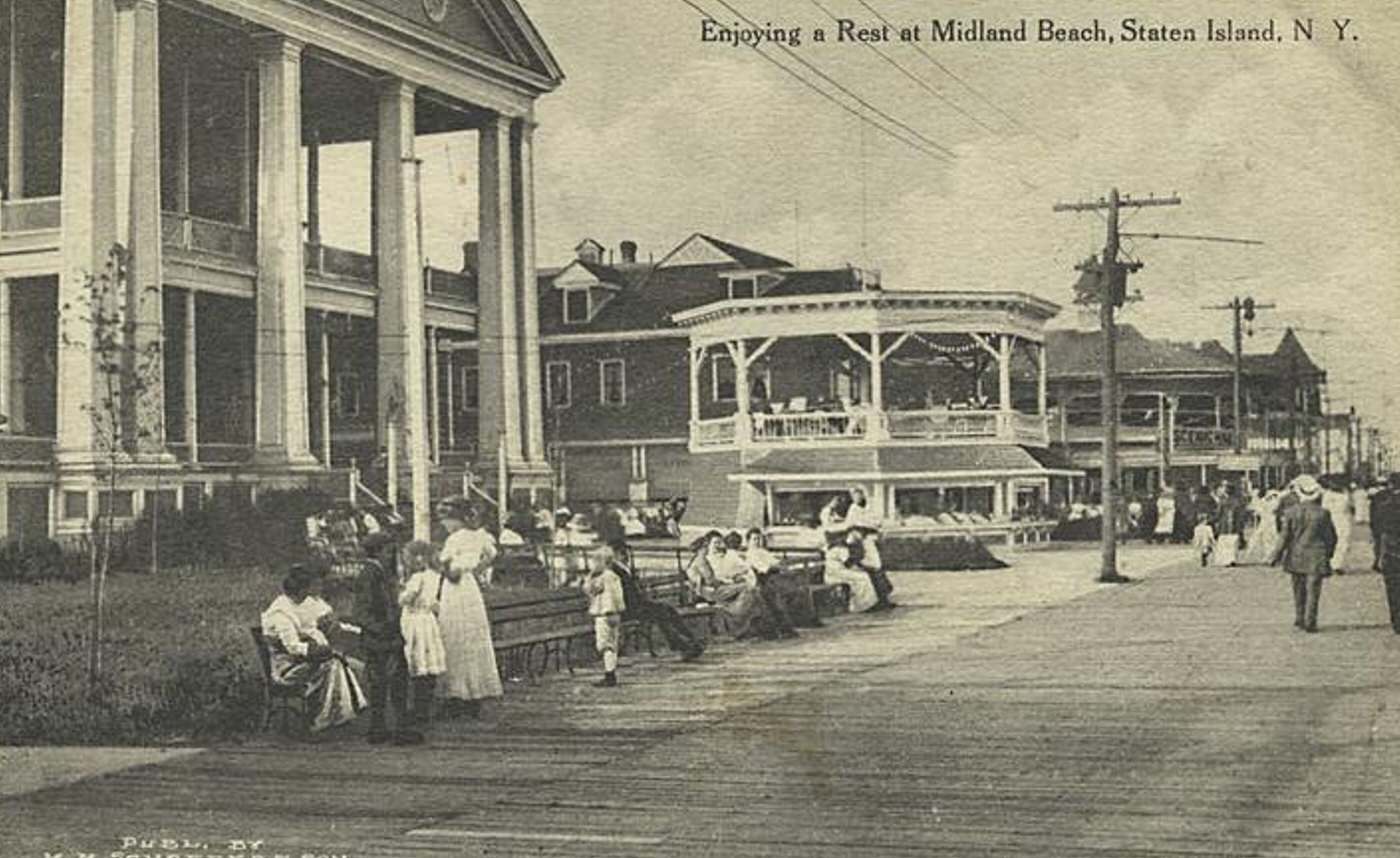
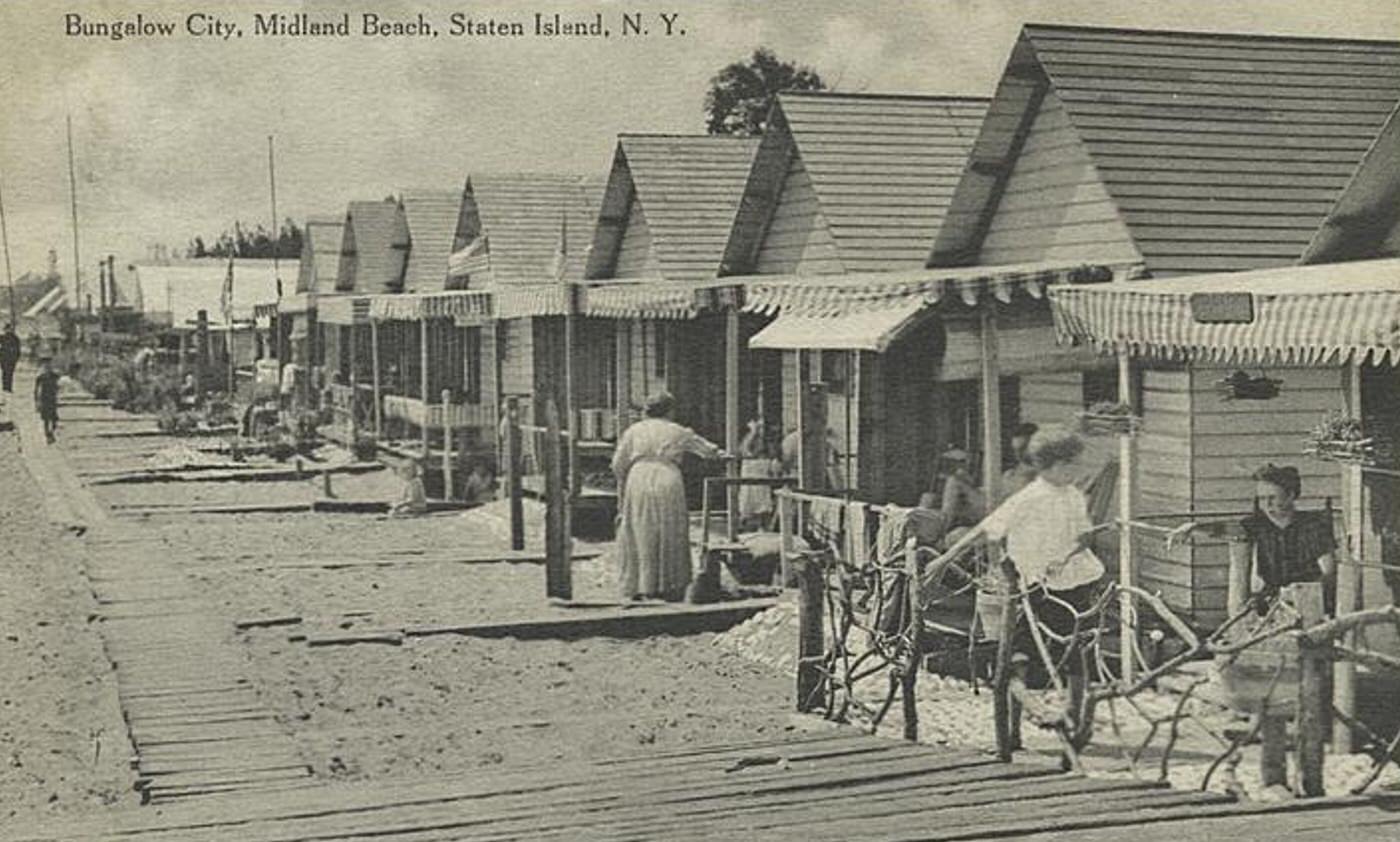
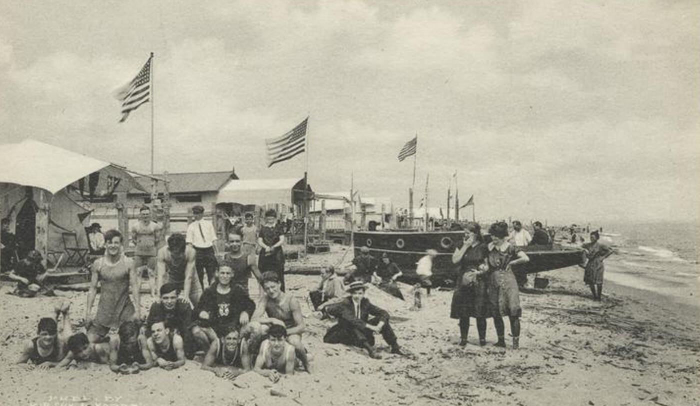
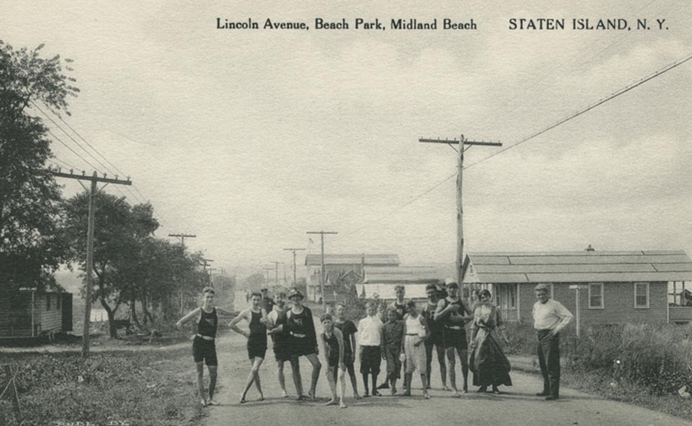
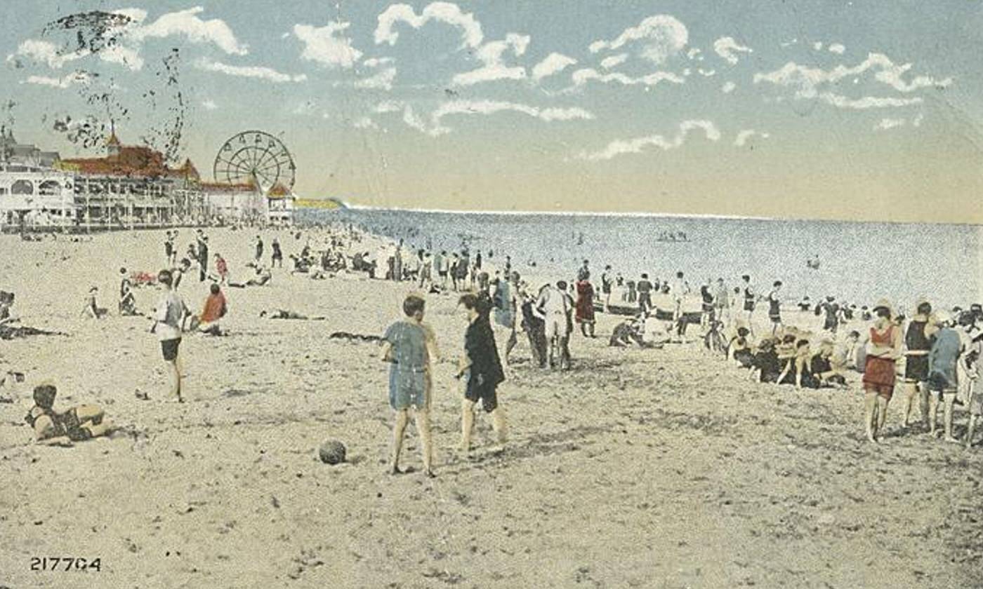
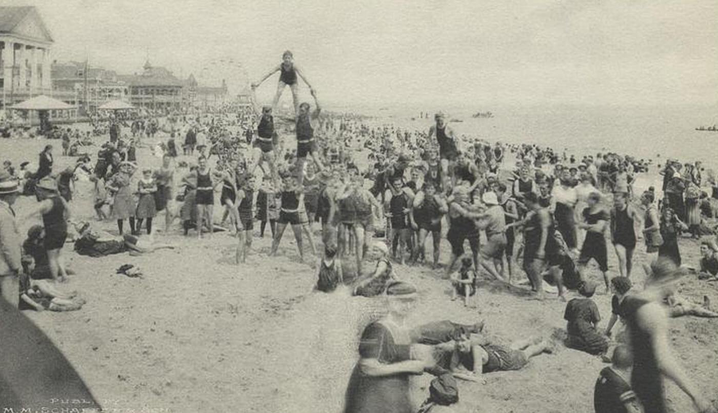
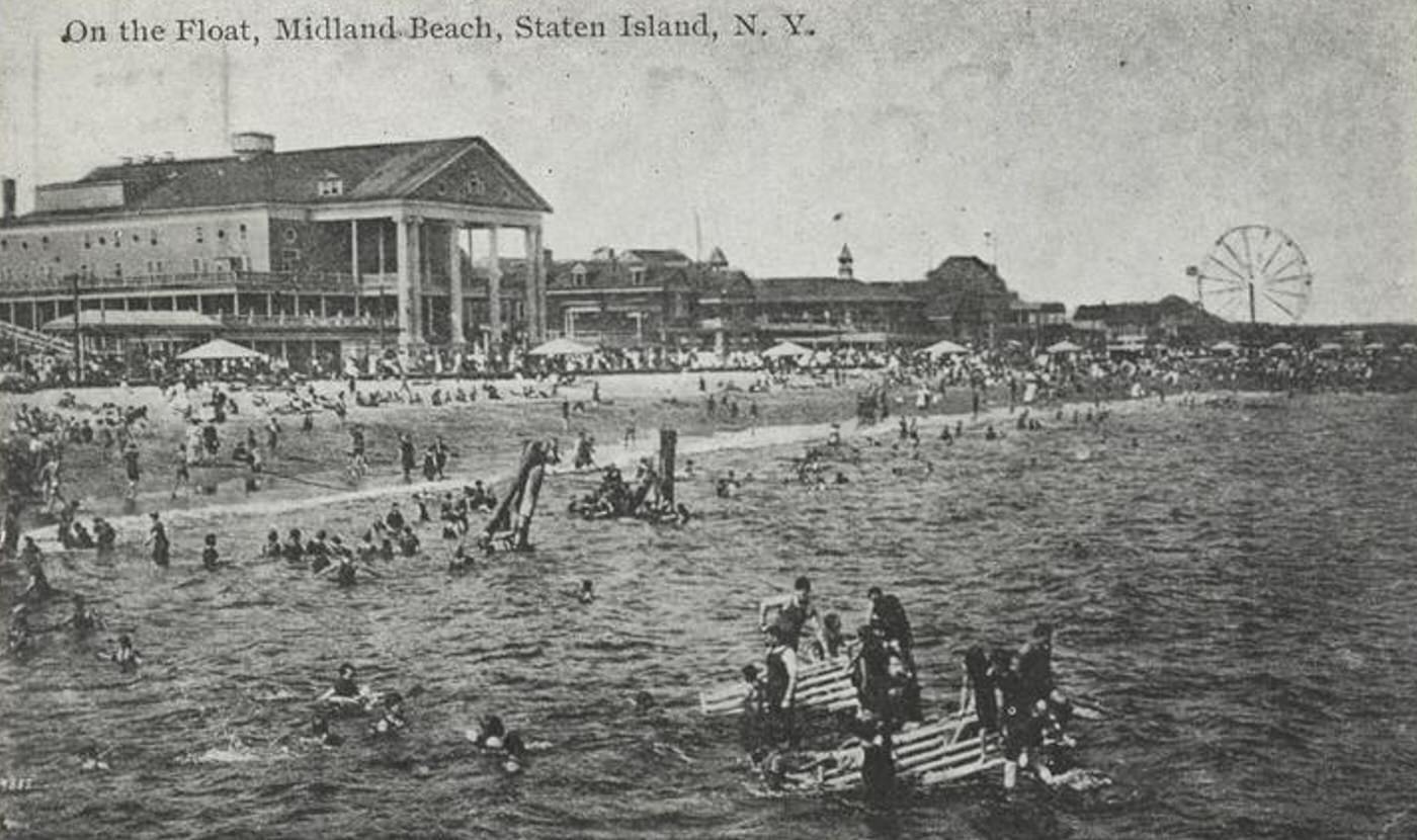
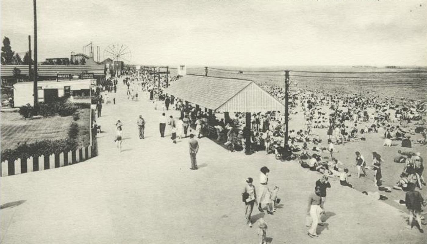
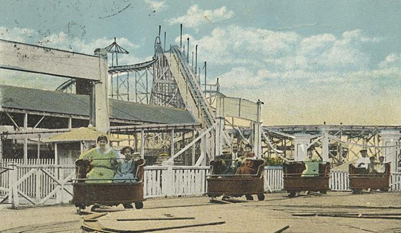
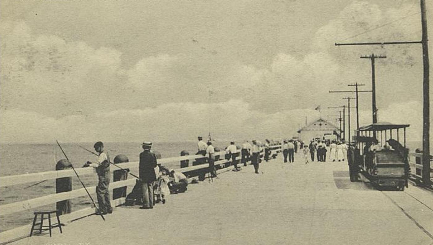
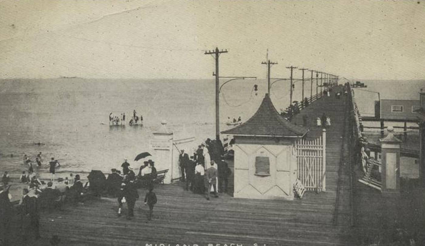
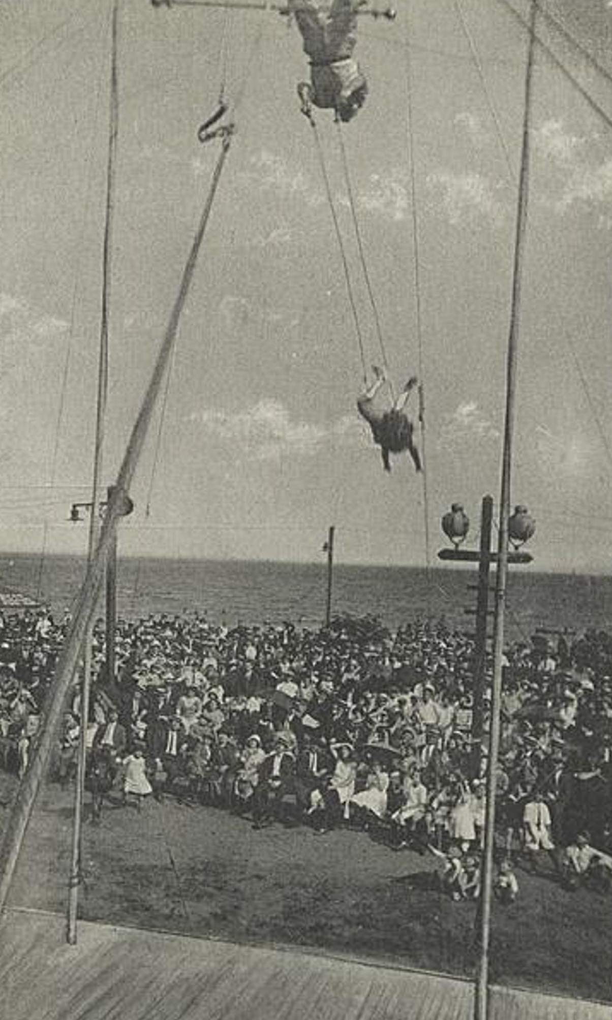
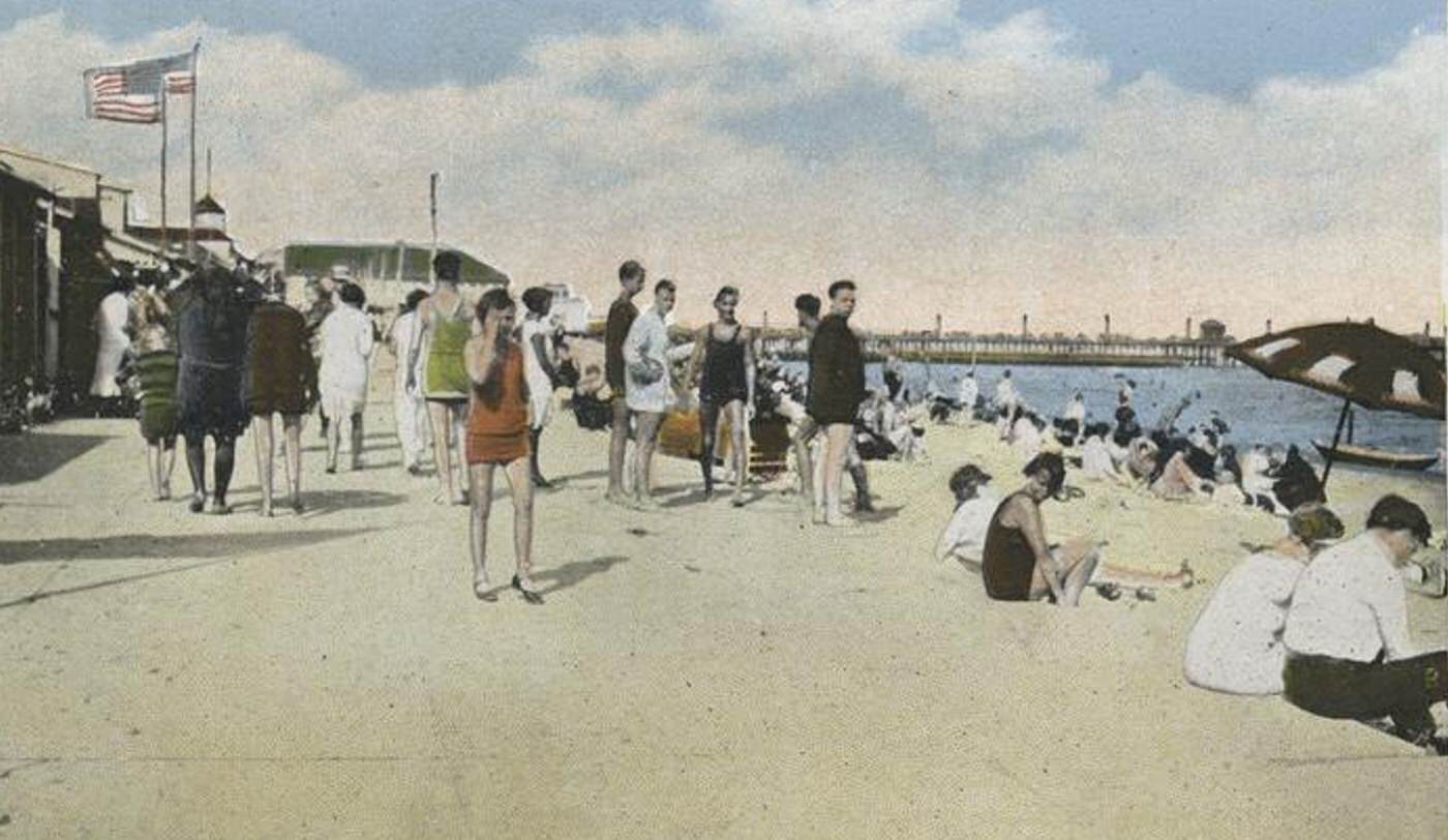
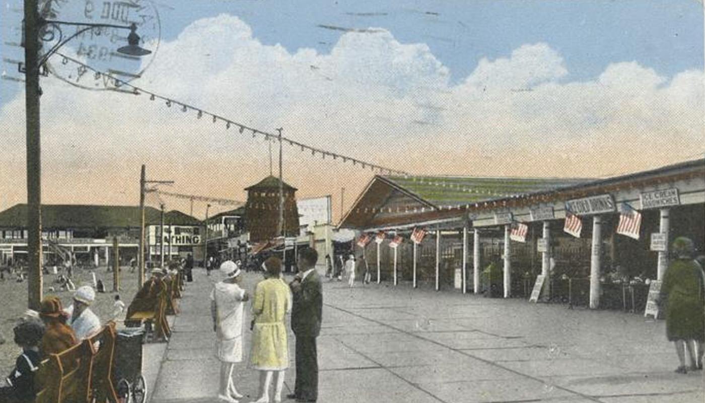
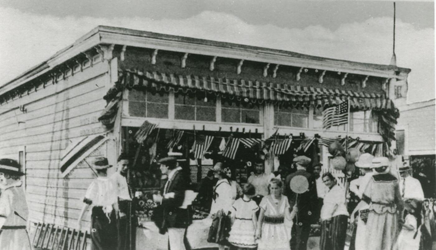
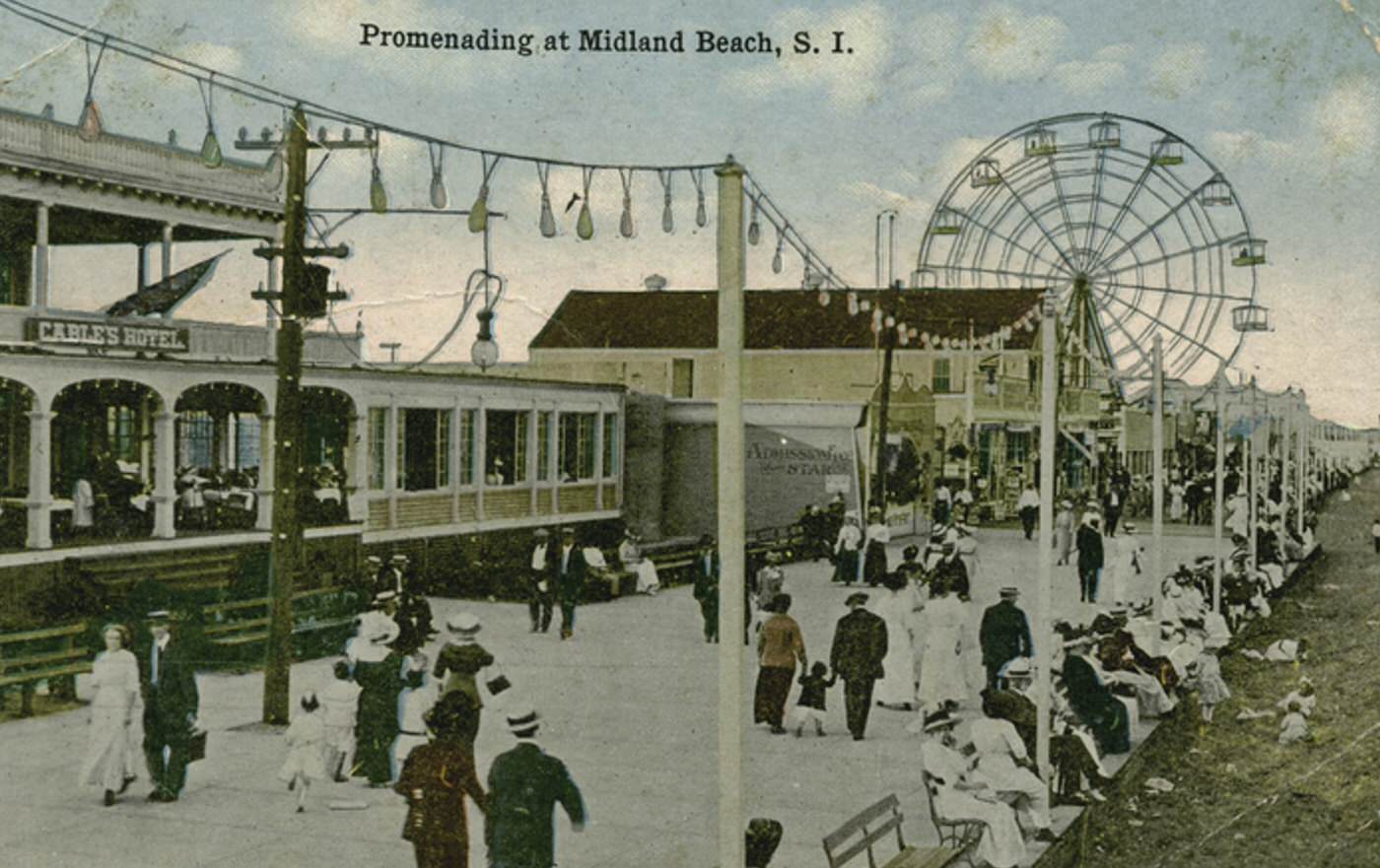
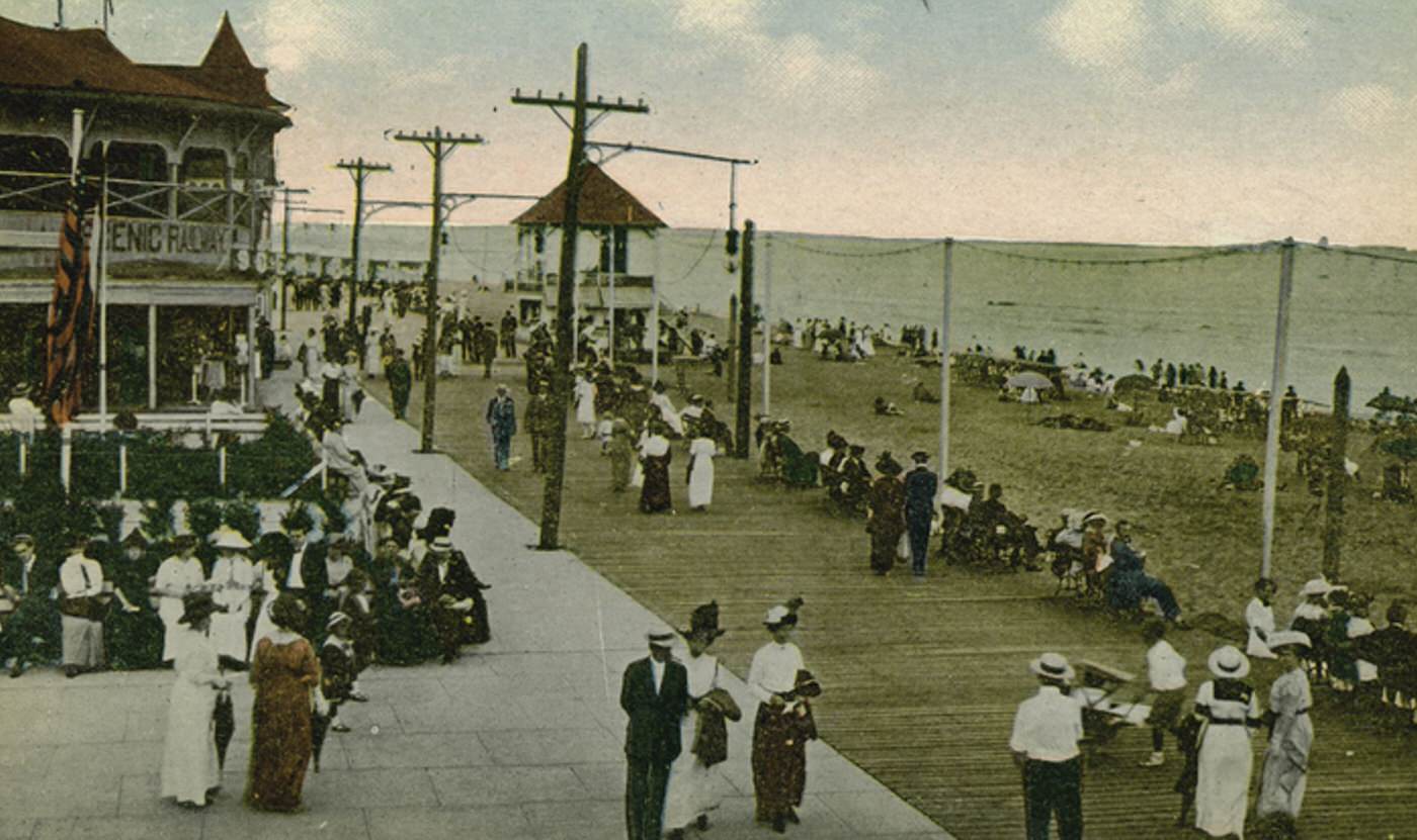
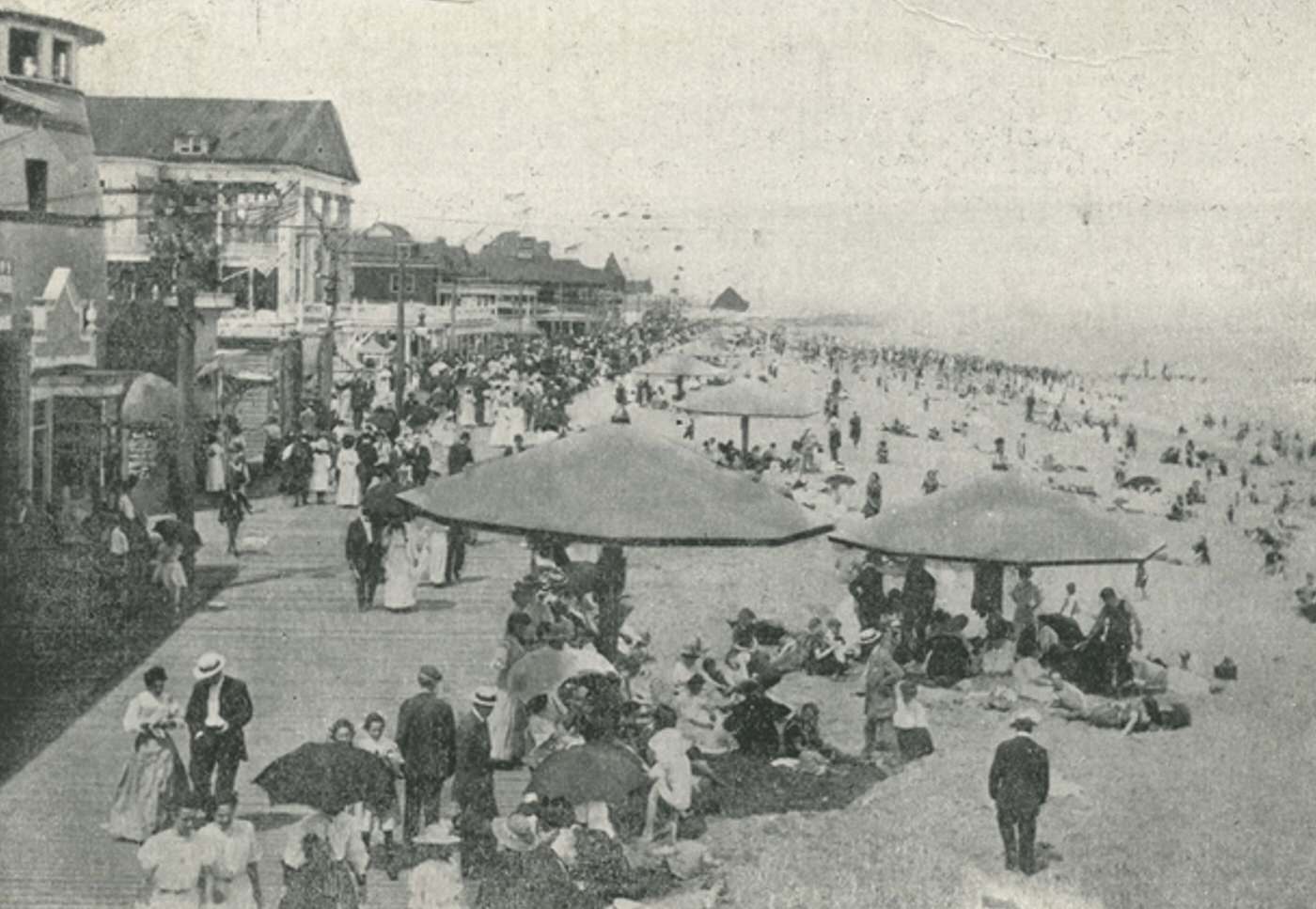
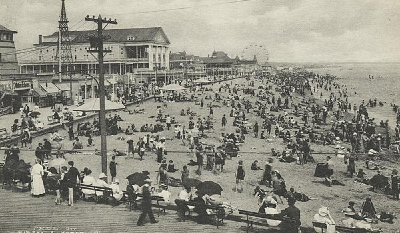
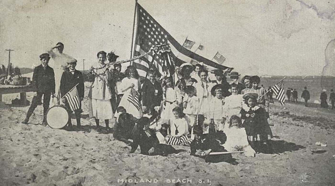
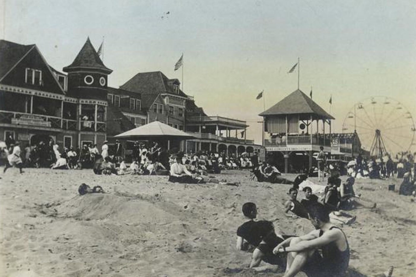
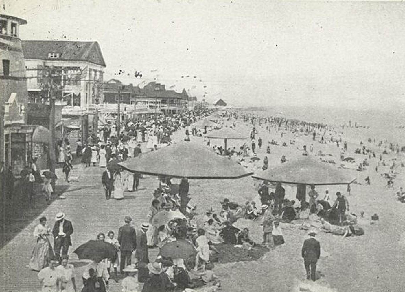
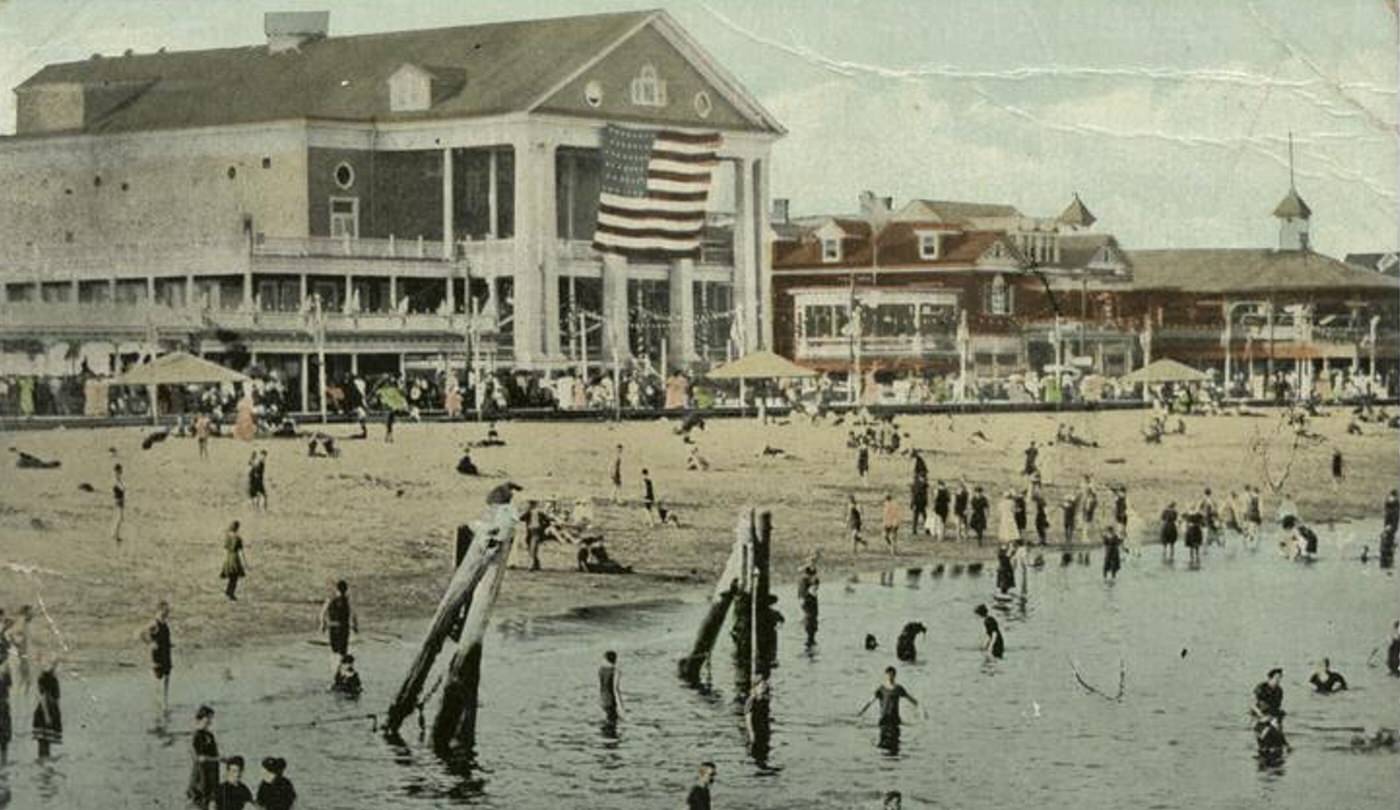
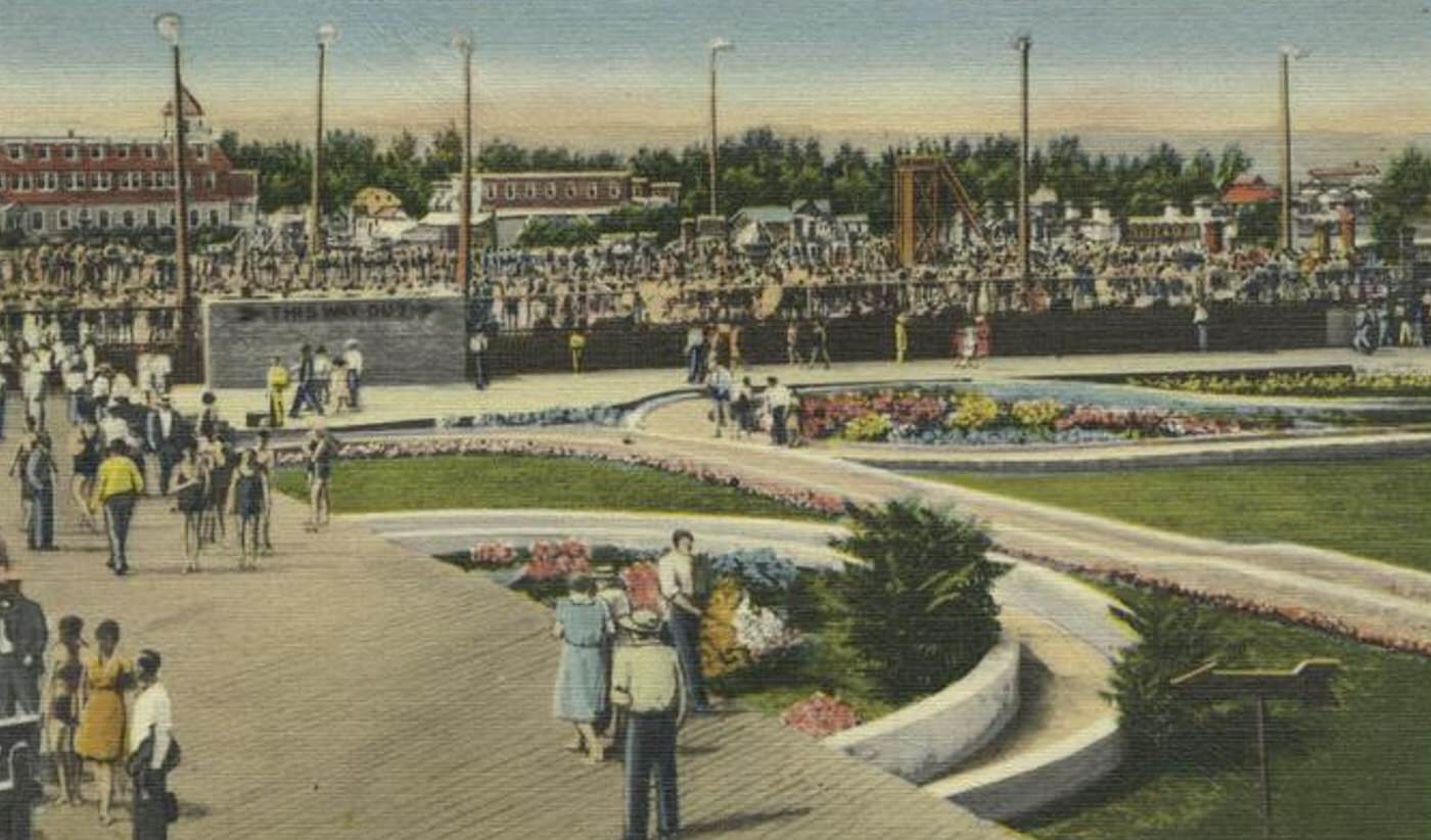
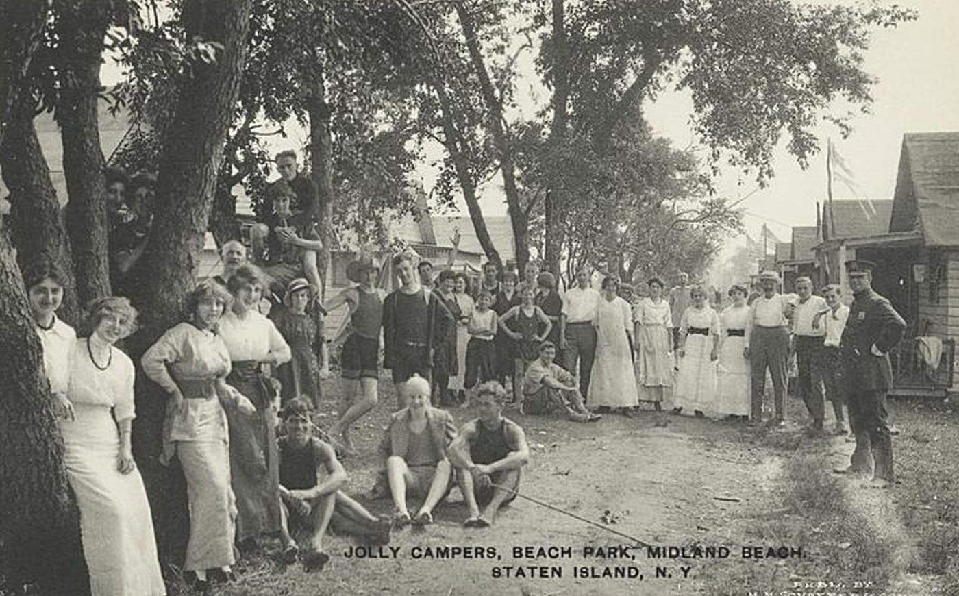
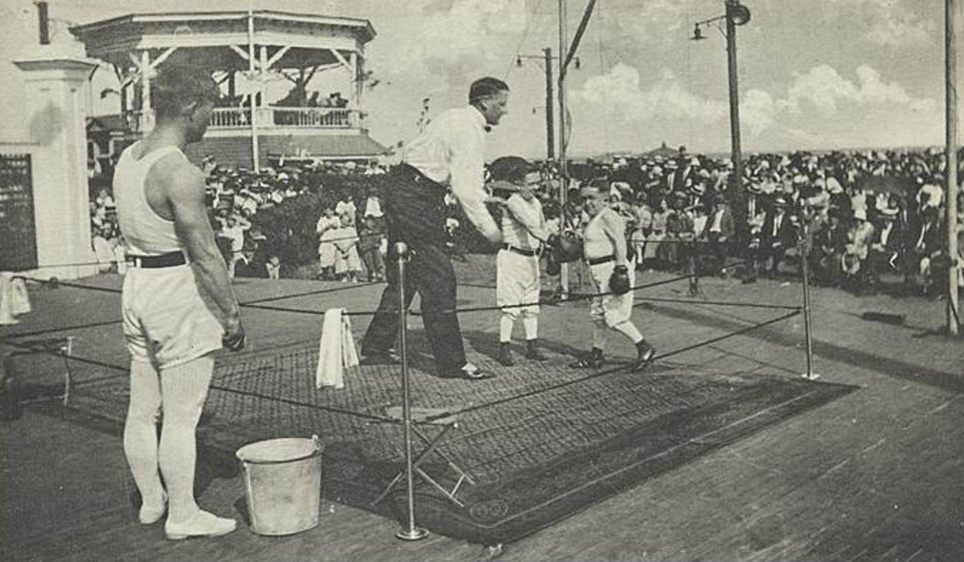
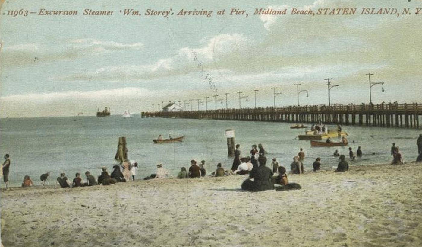
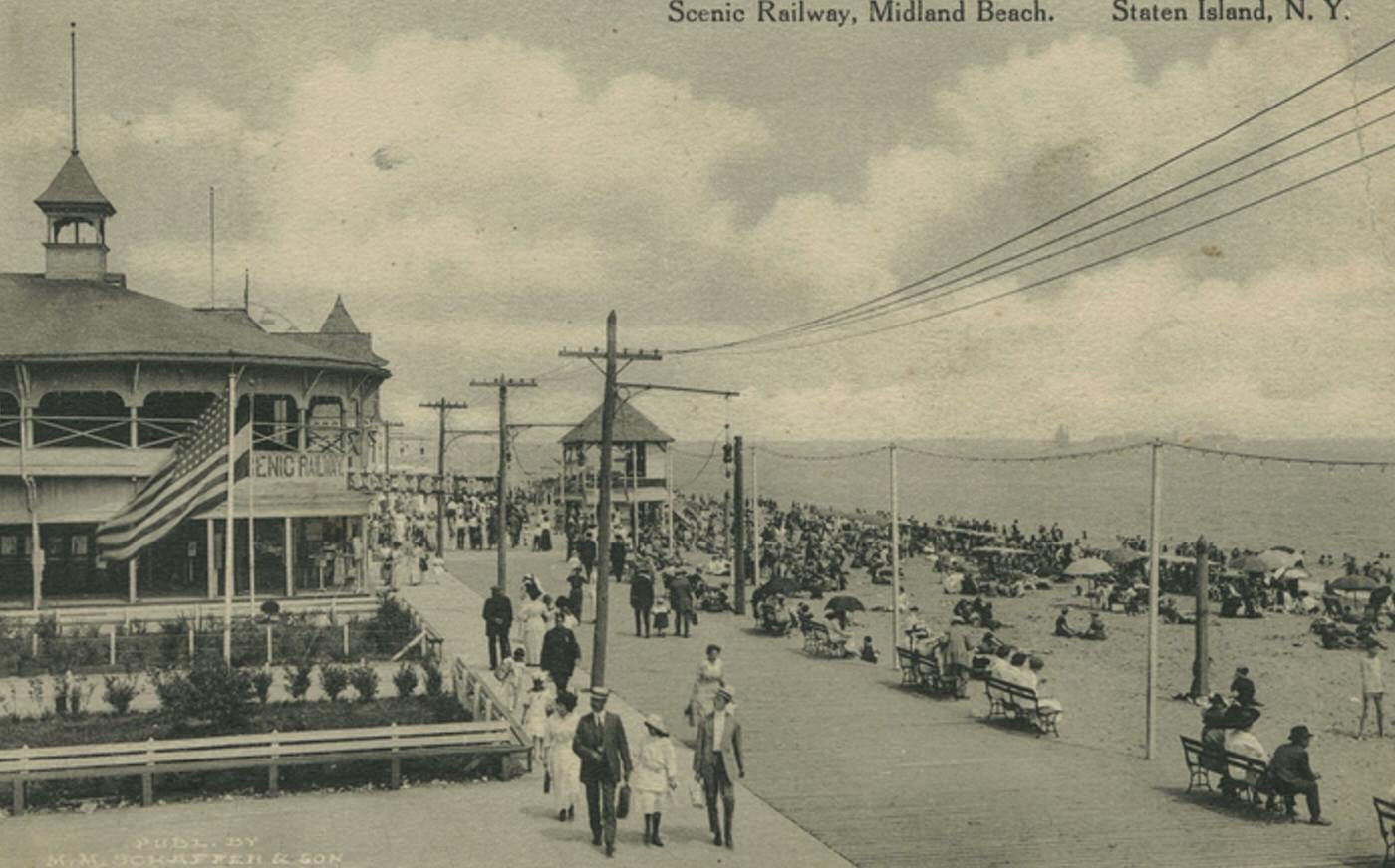
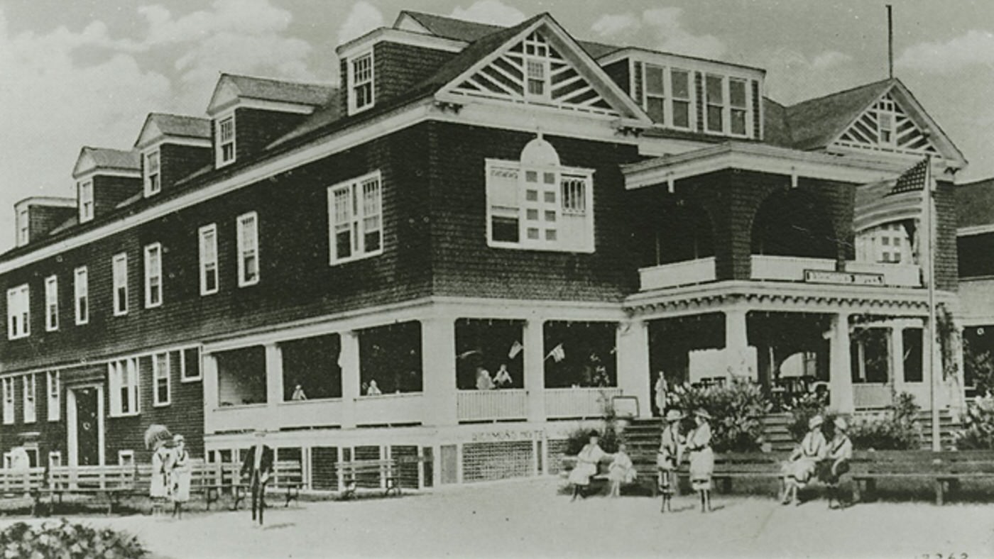
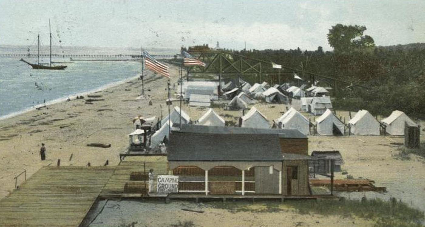
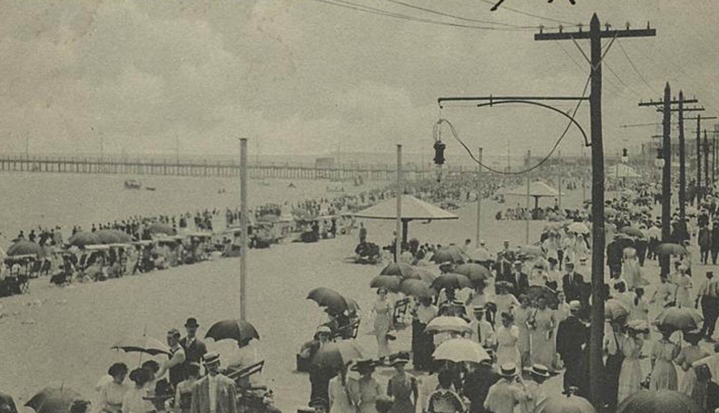
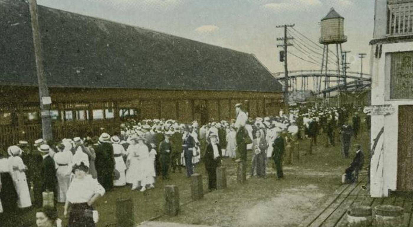
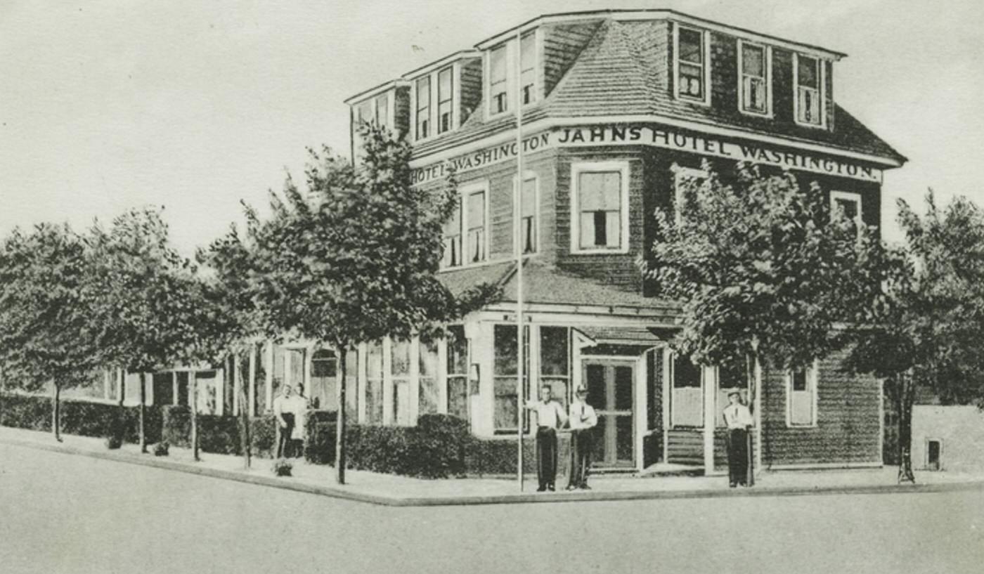
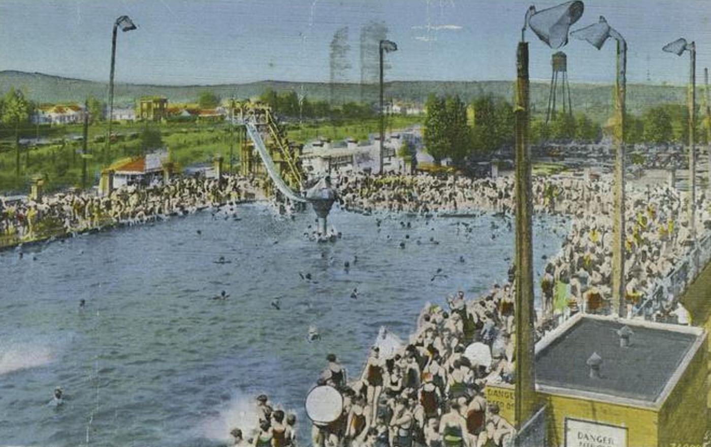
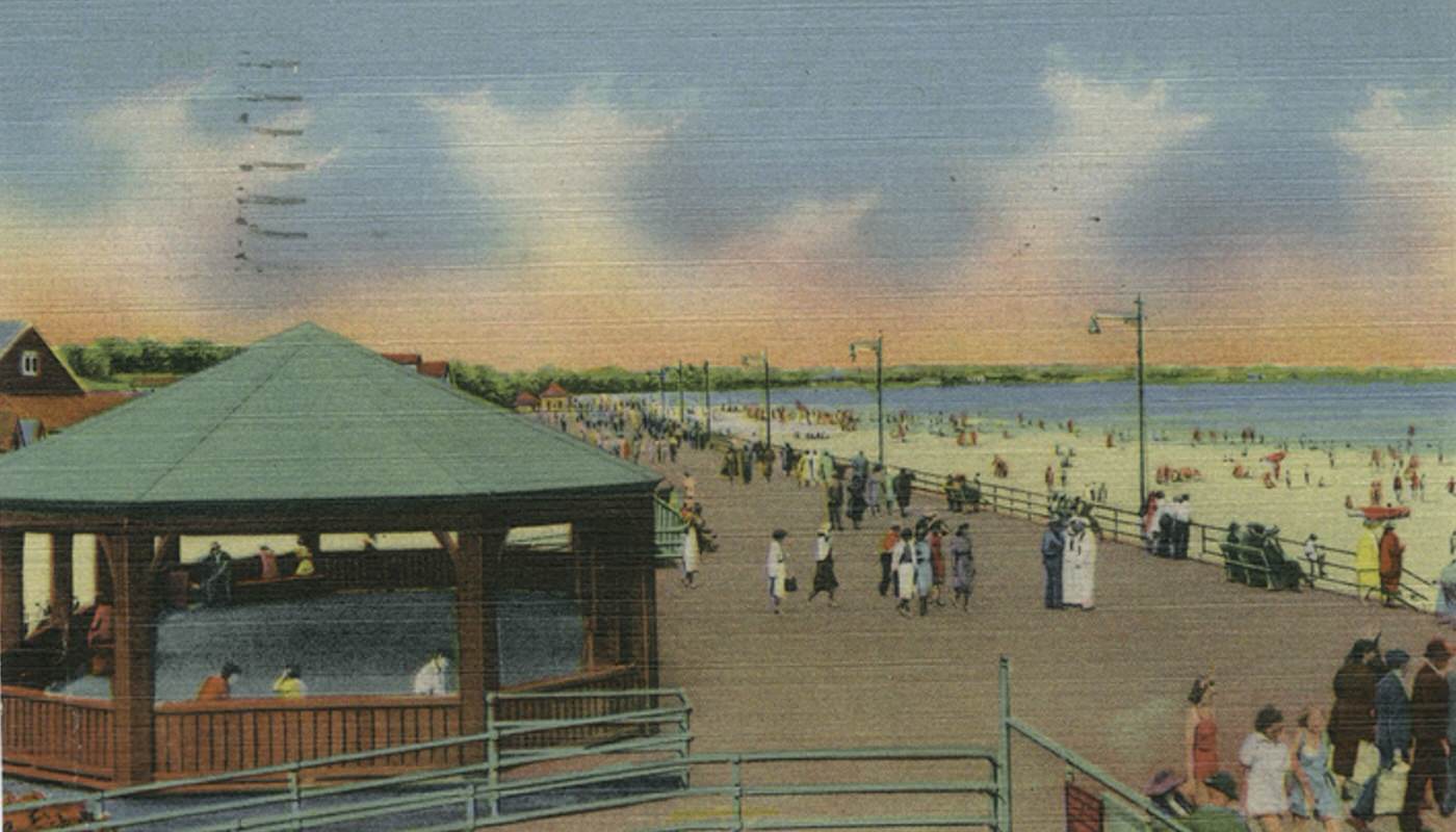
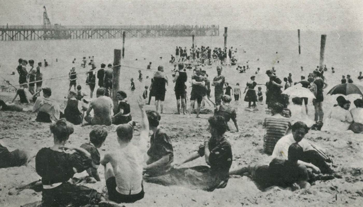
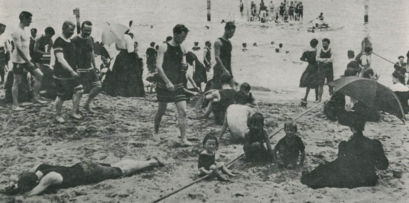
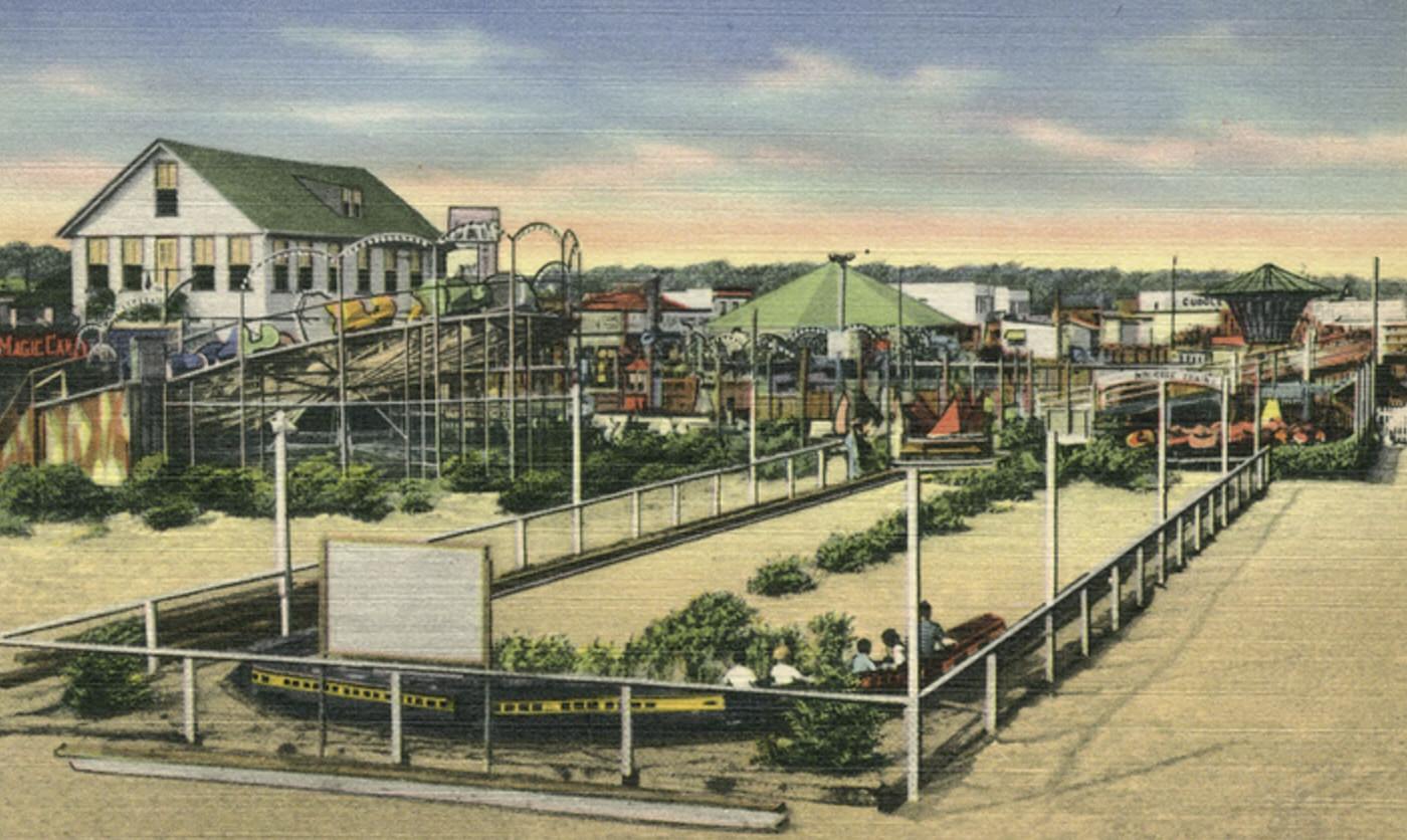
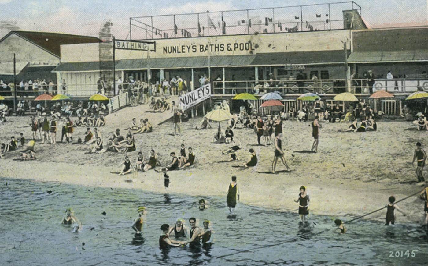
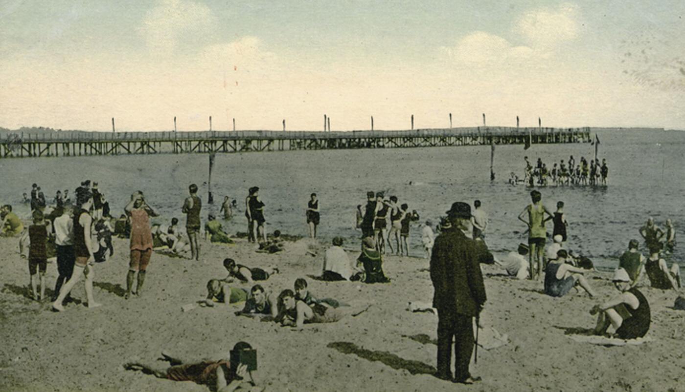
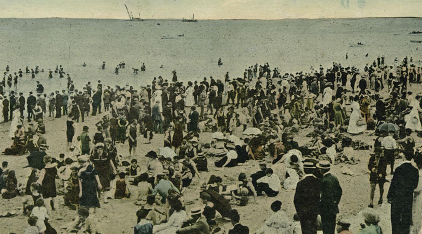
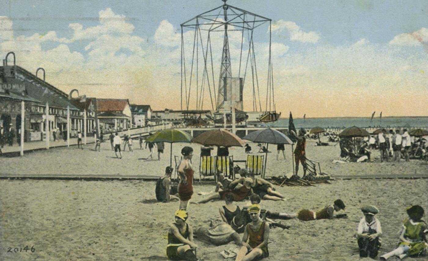
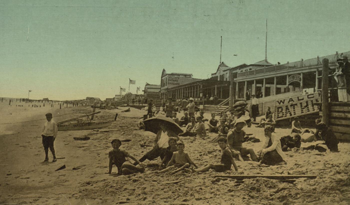
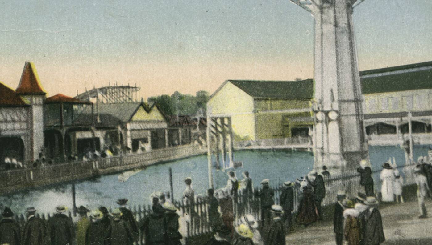
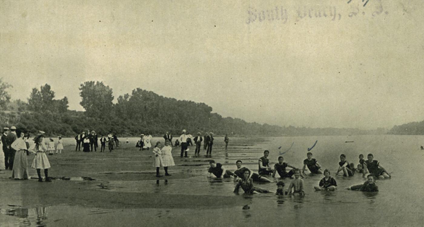
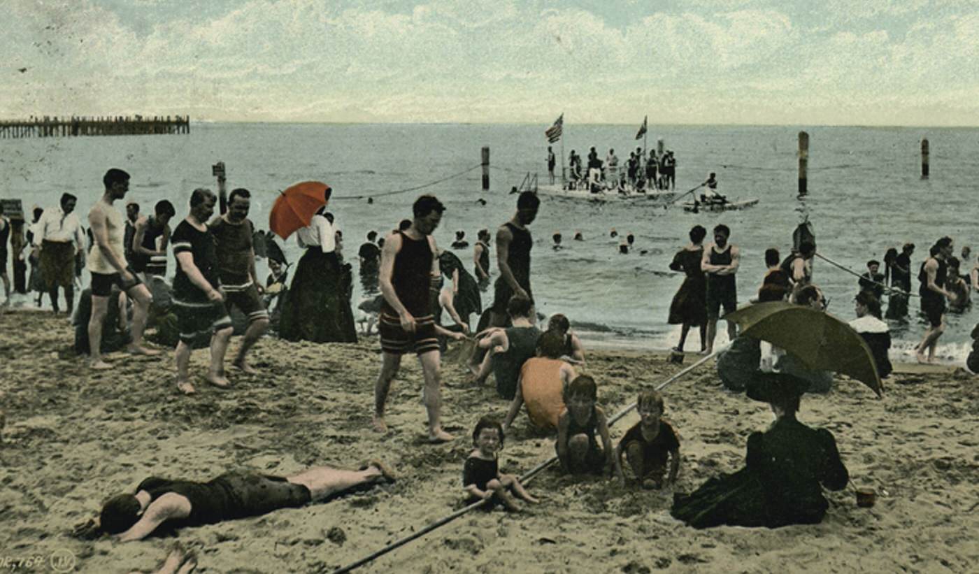
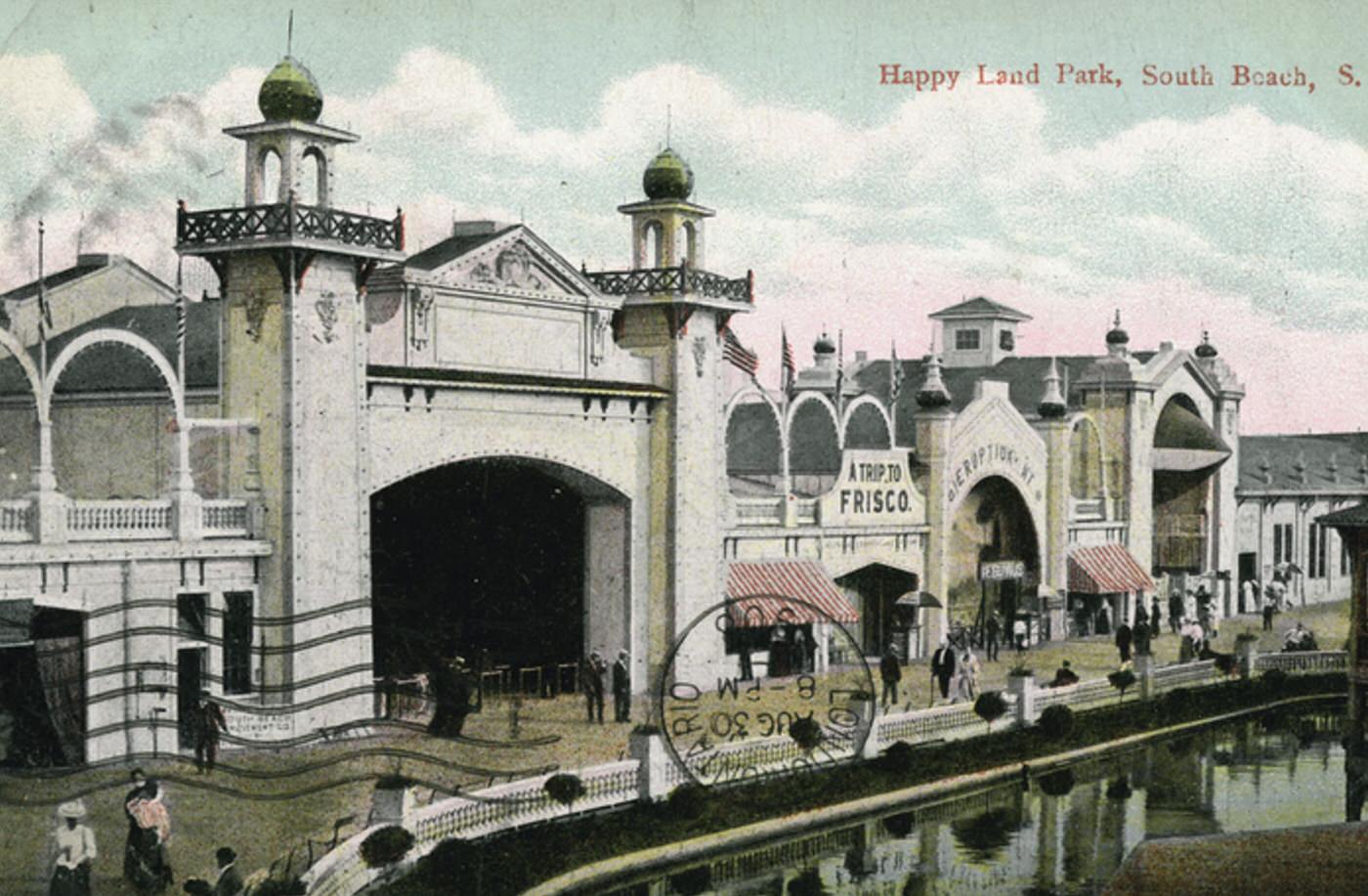
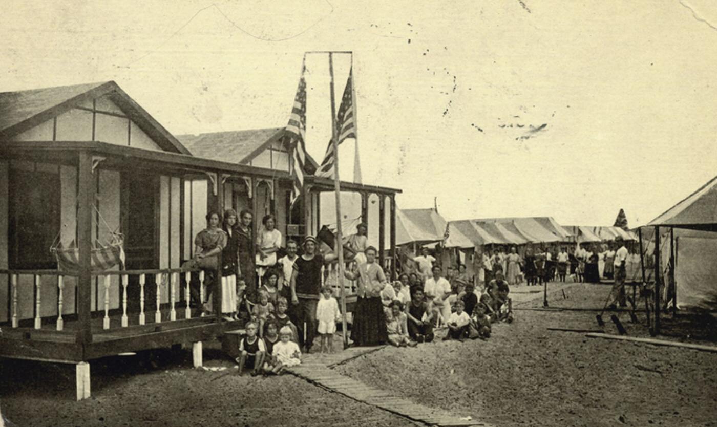
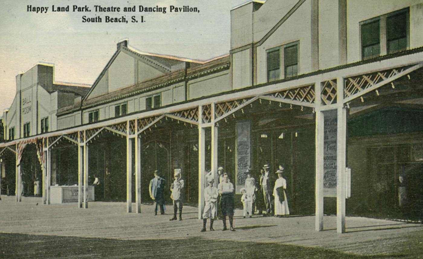
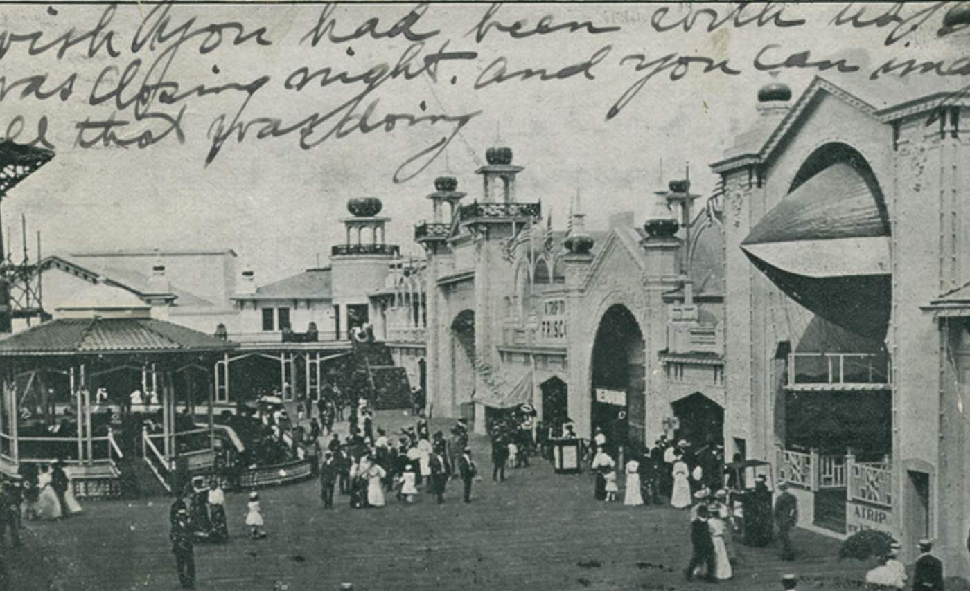
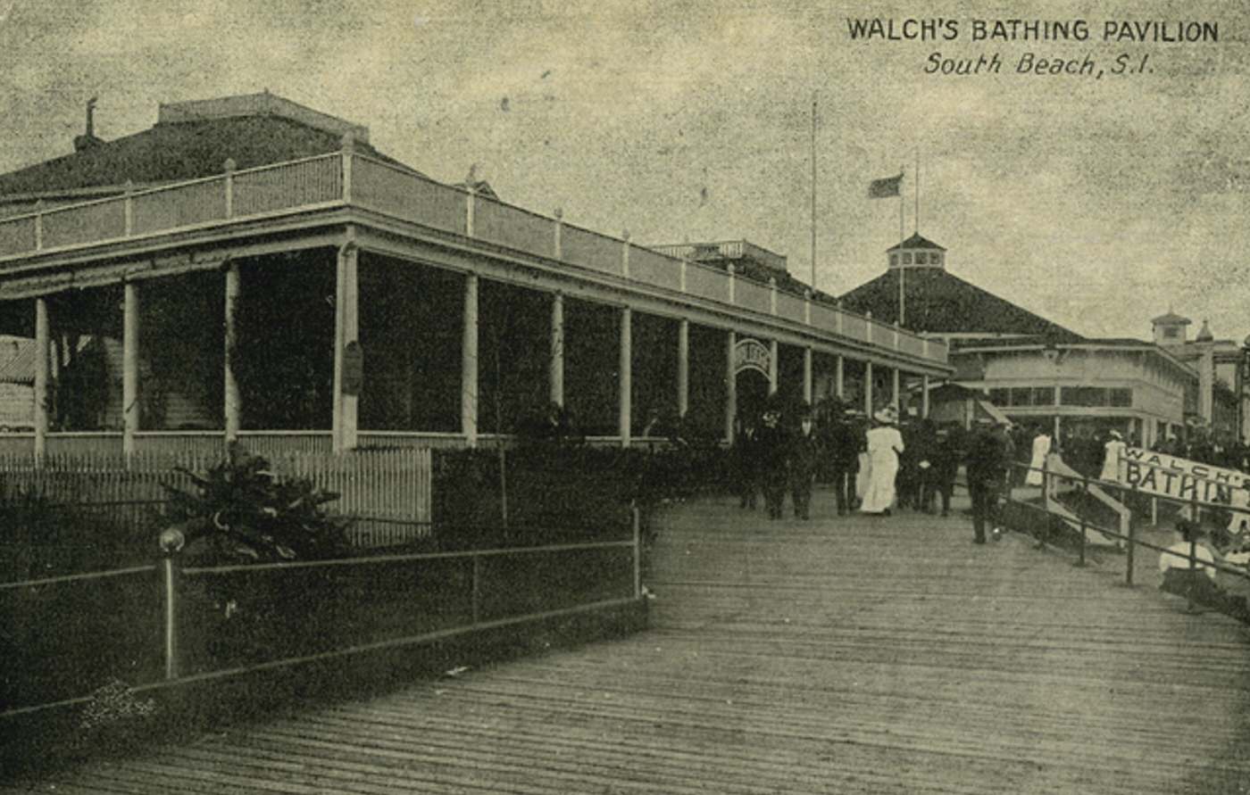
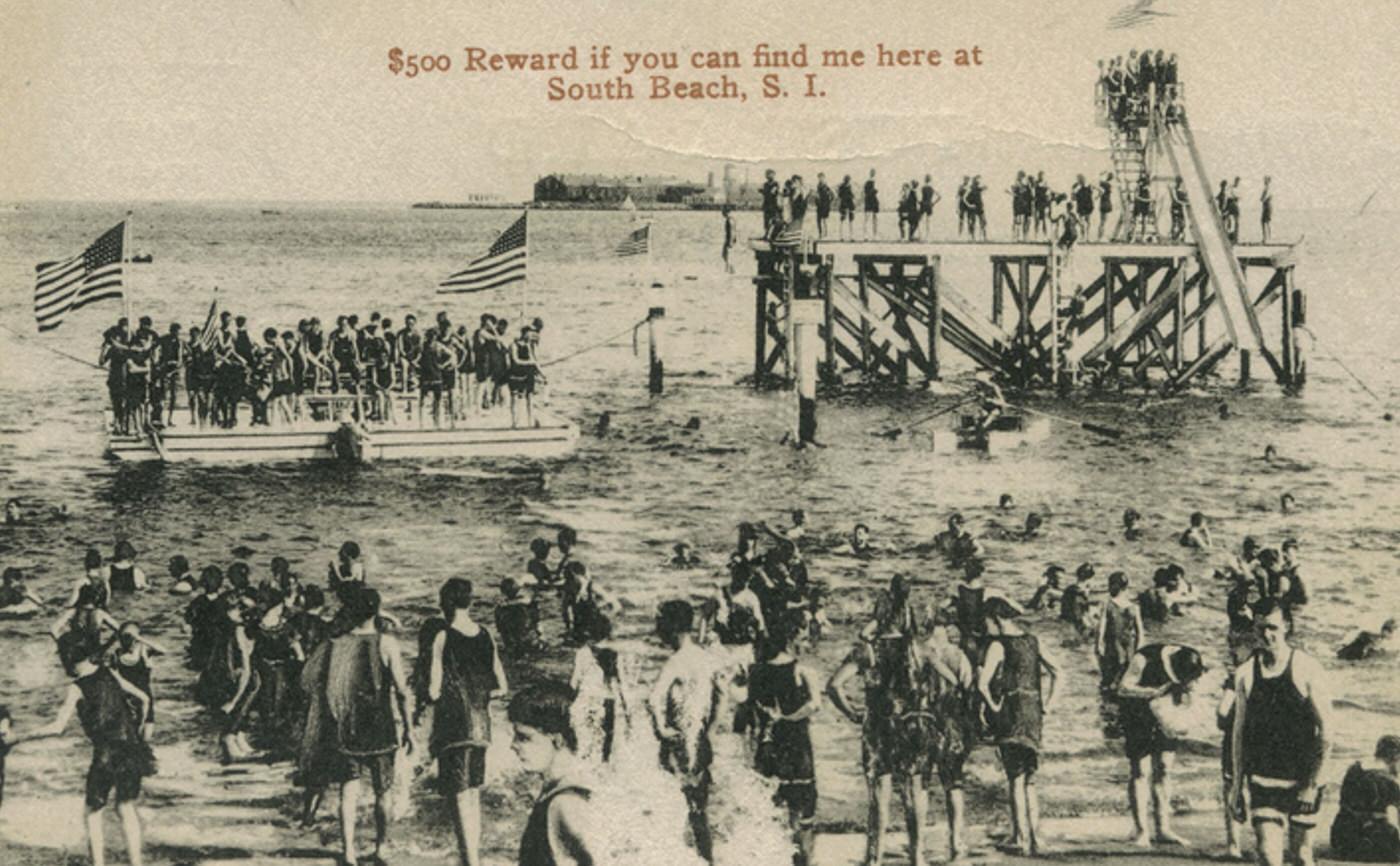
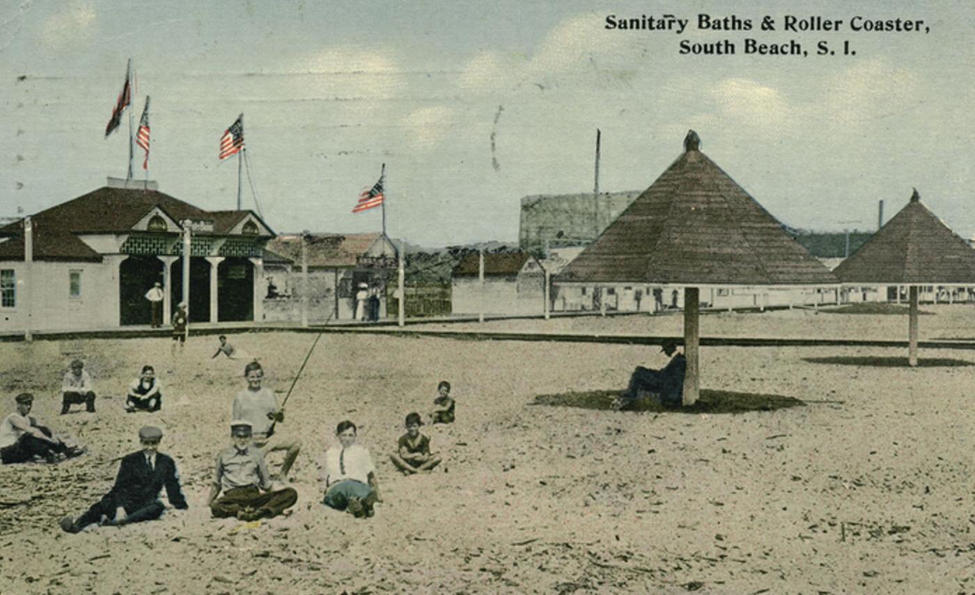
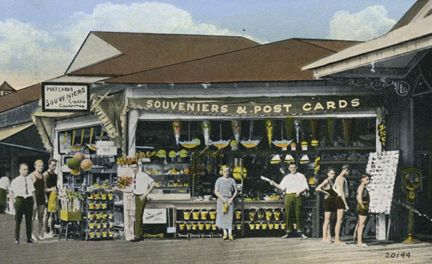
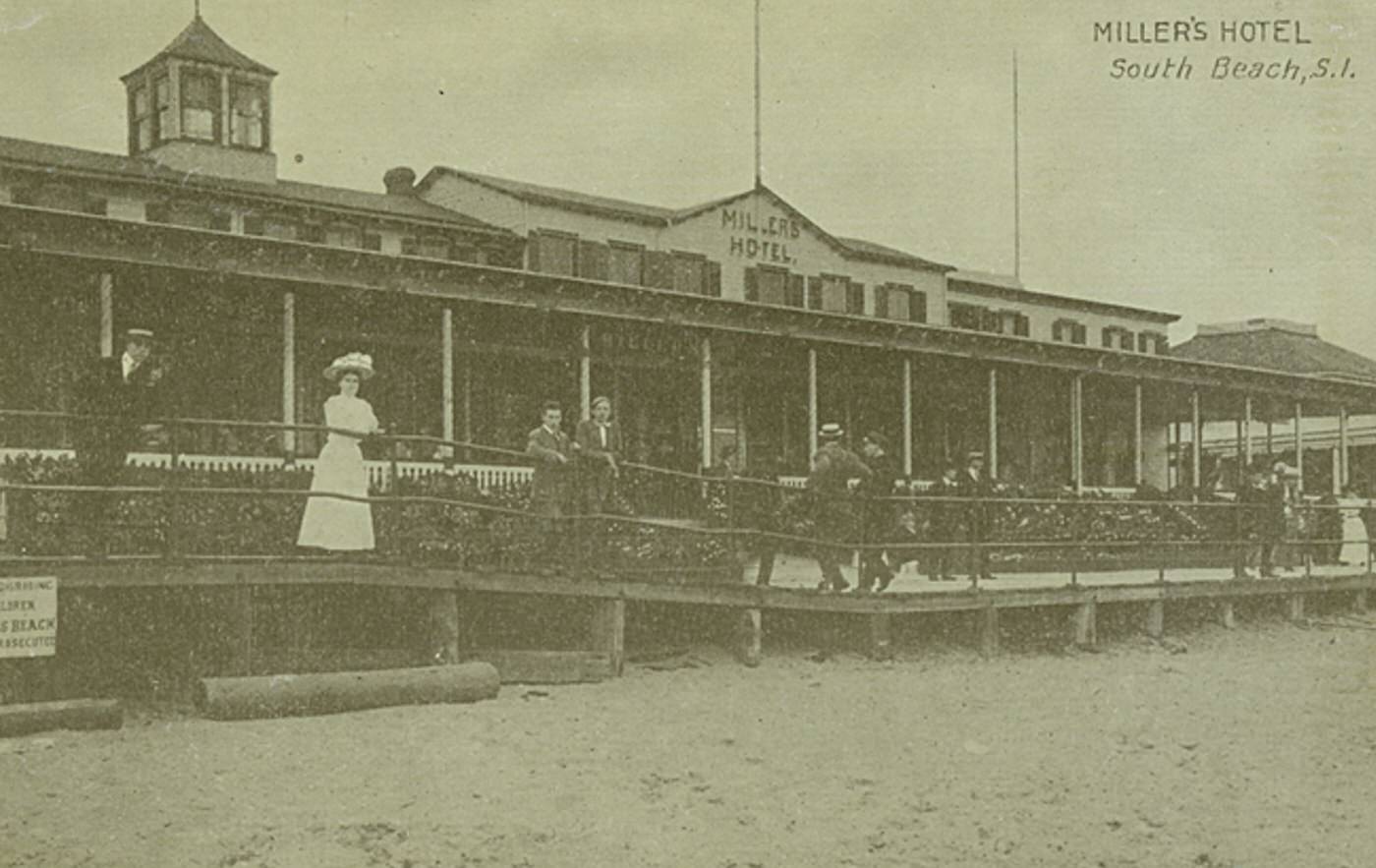
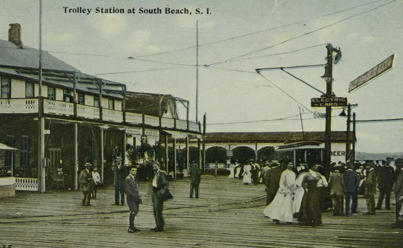
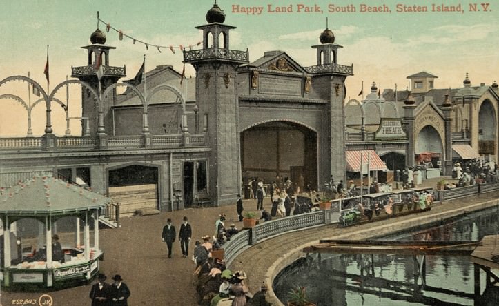
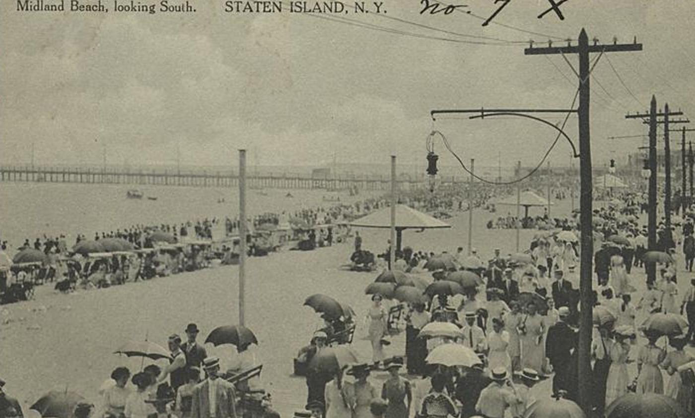
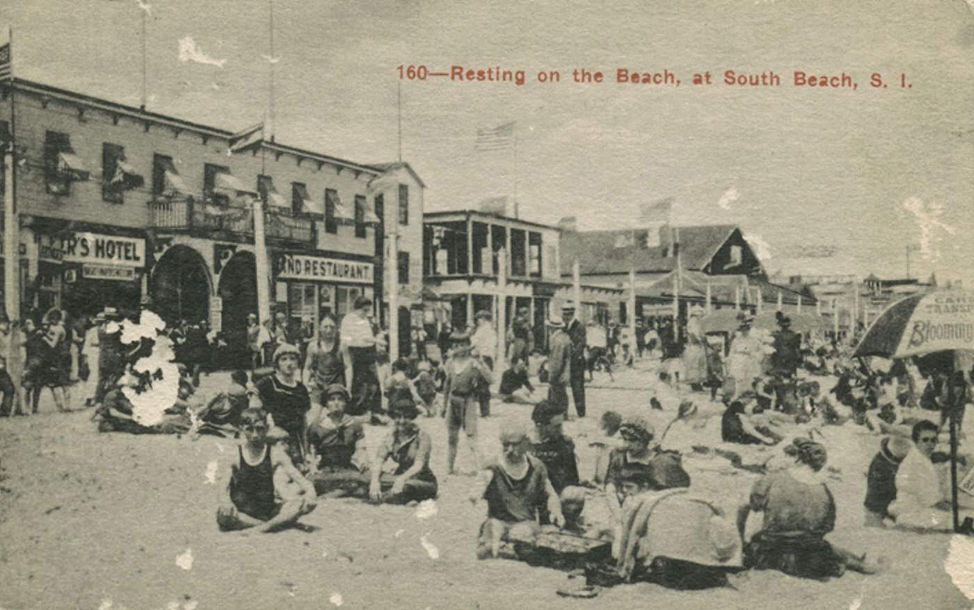
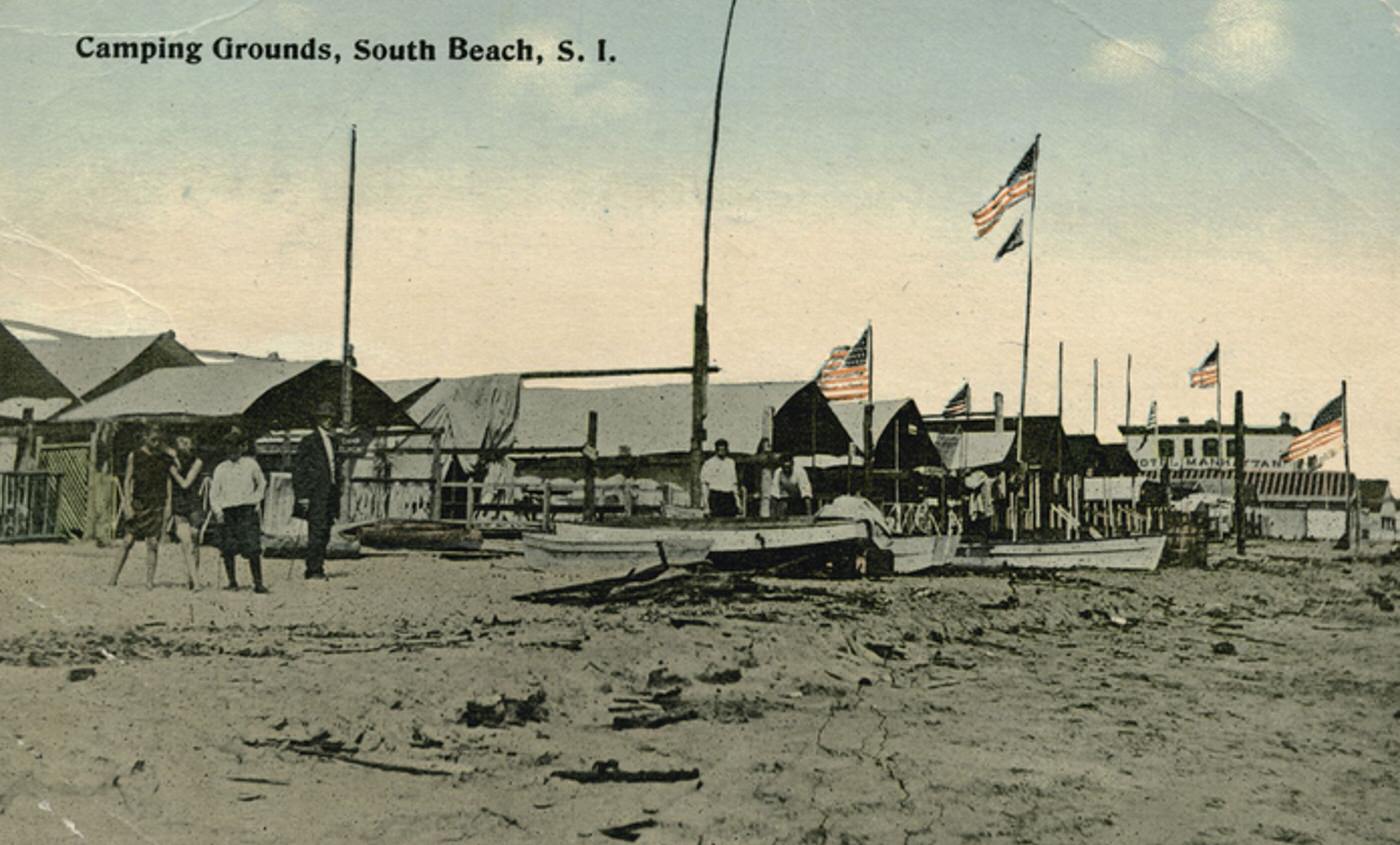
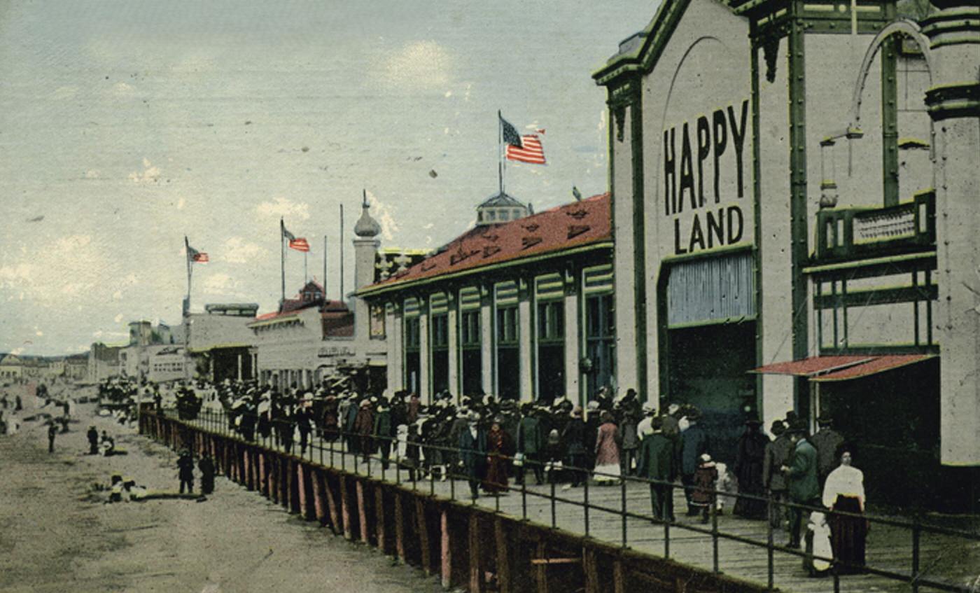
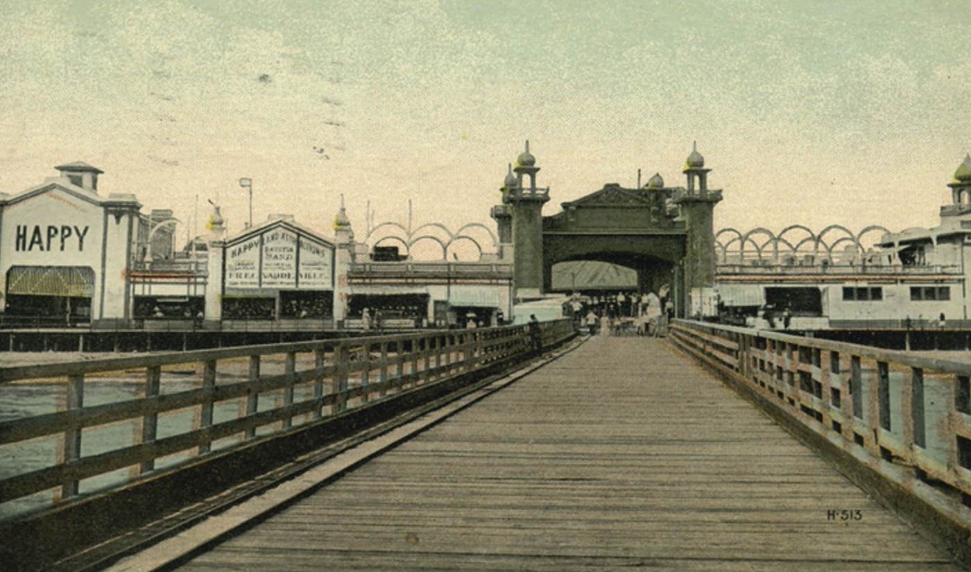
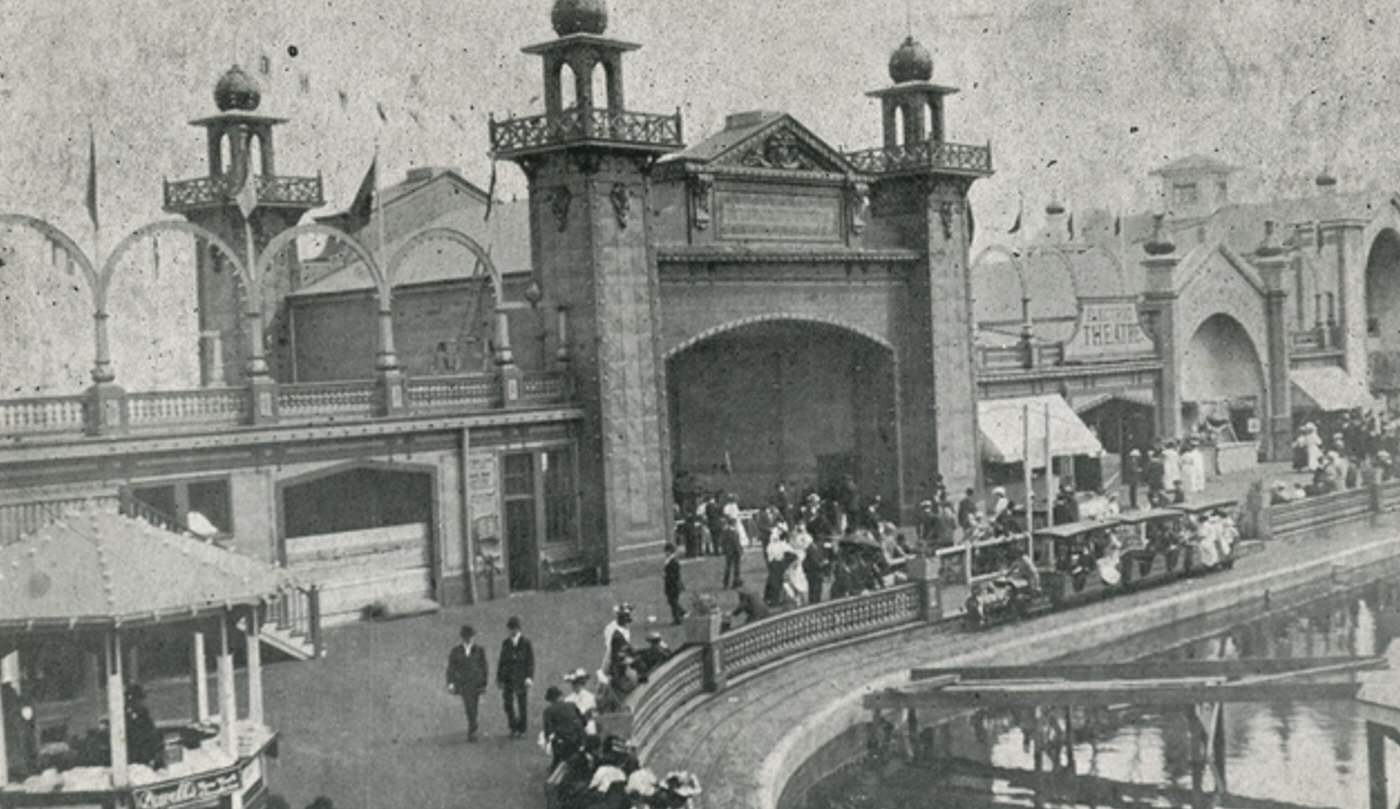
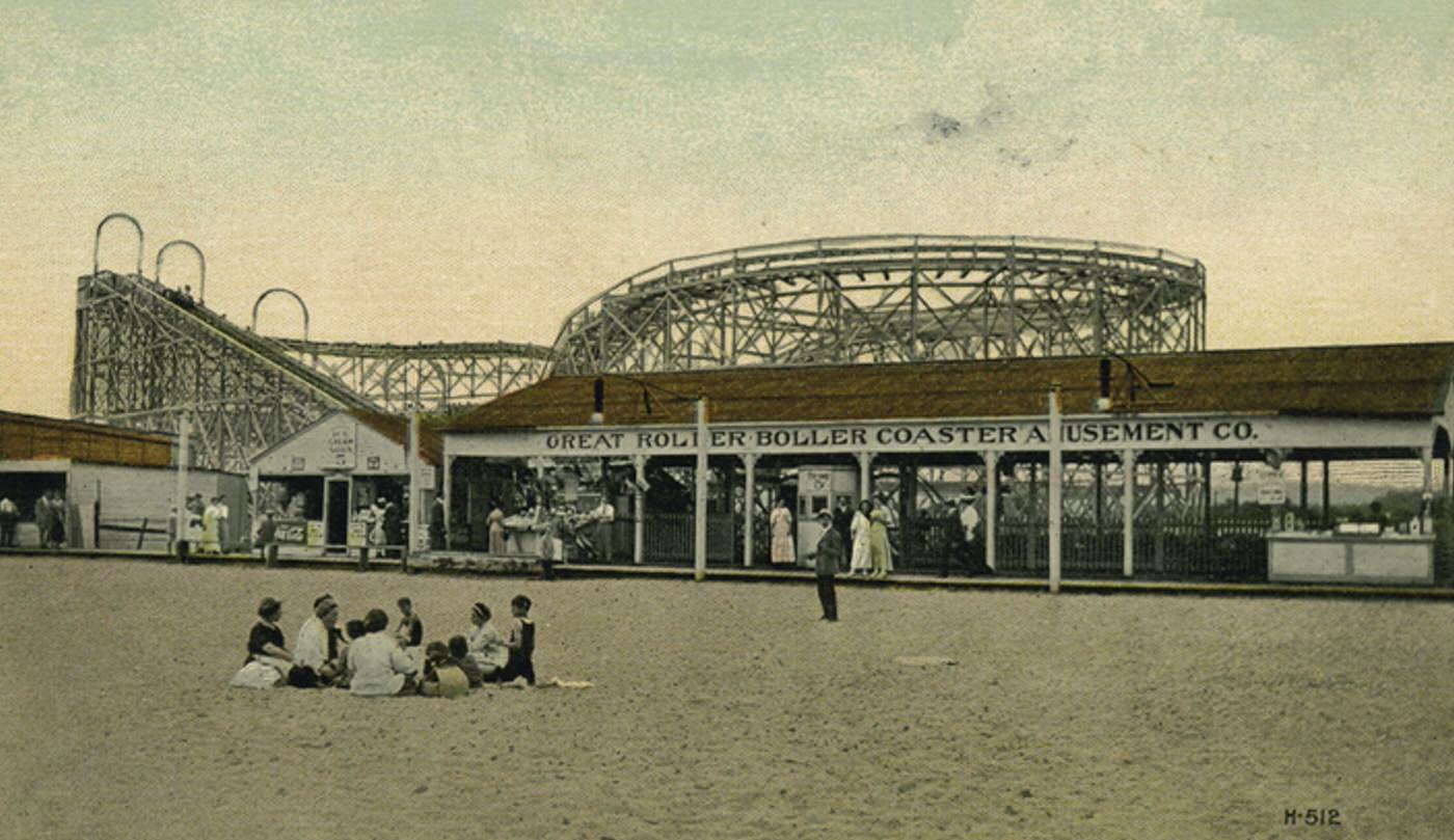
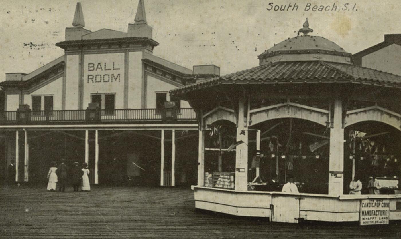
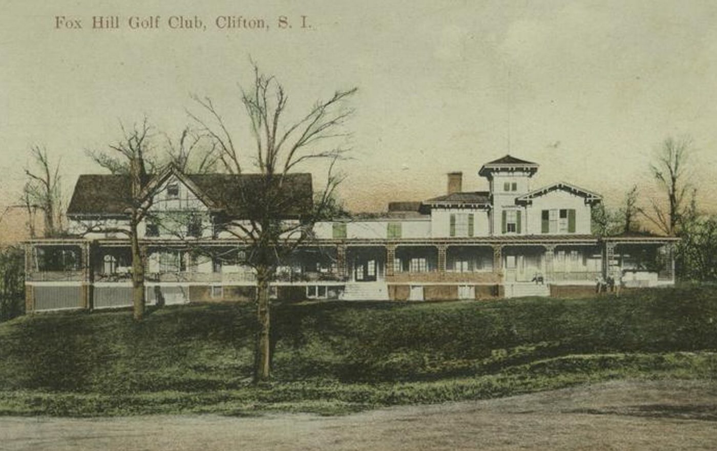
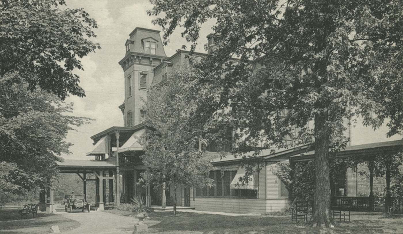
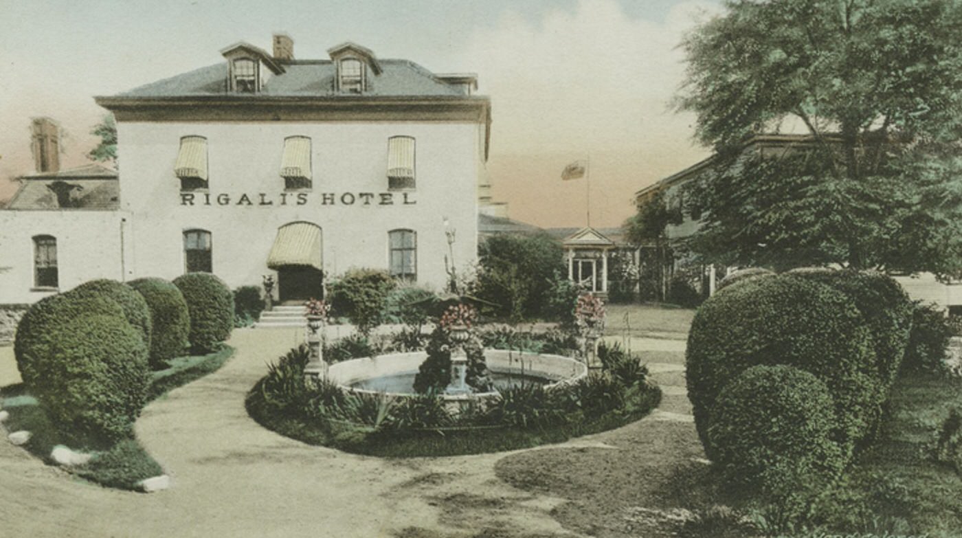
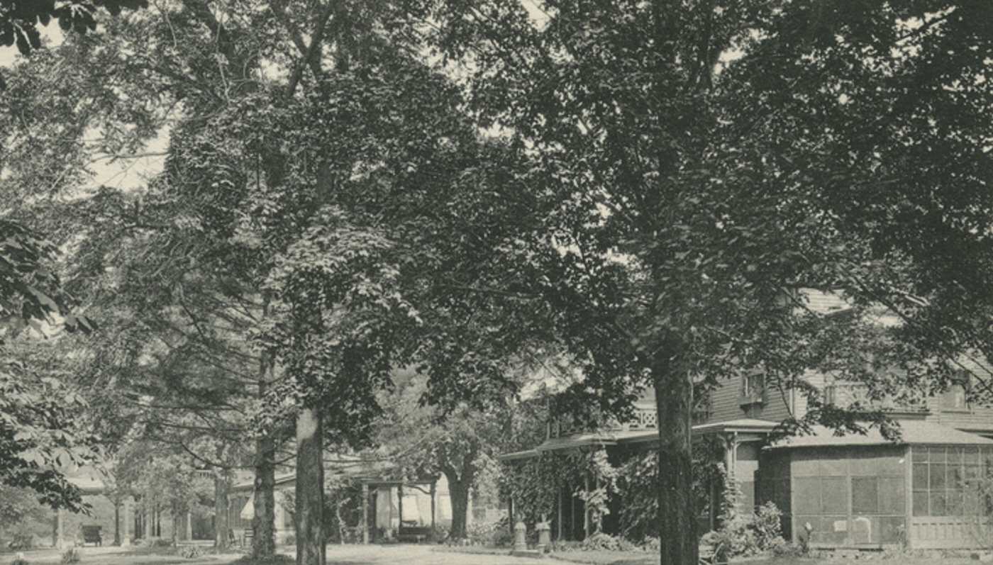
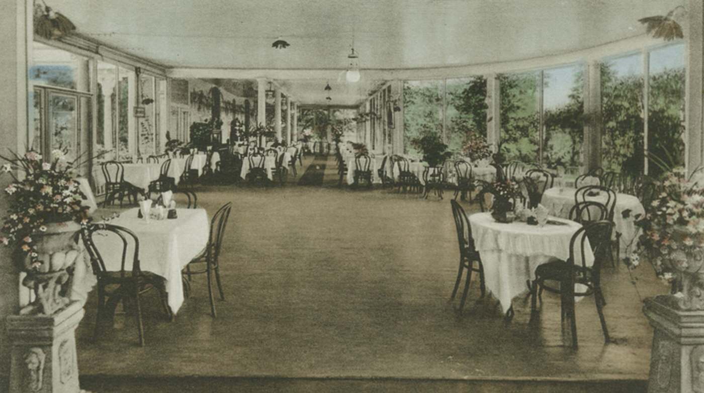
Two major exceptions to the quiet, rural character were the seaside resorts of South Beach and Midland Beach. During the summer months, these specific areas along the shoreline transformed into bustling centers of amusement and recreation. They attracted huge crowds from across New York City with their beaches, boardwalks, amusement parks like Happyland, hotels, and lively atmosphere. This seasonal activity was concentrated in these resort zones along the waterfront.
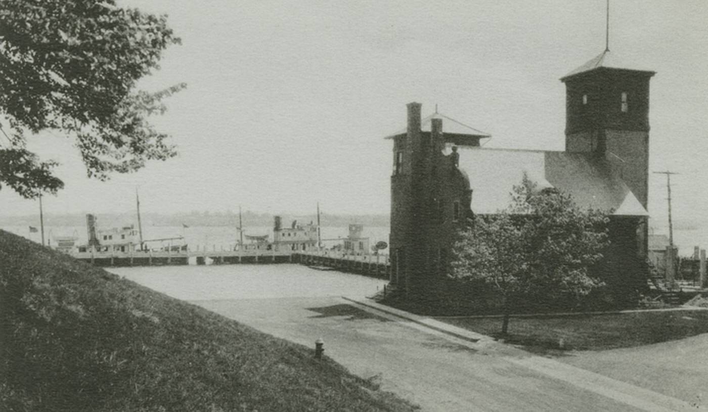
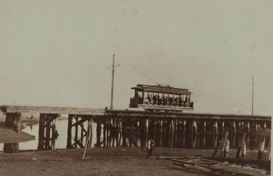
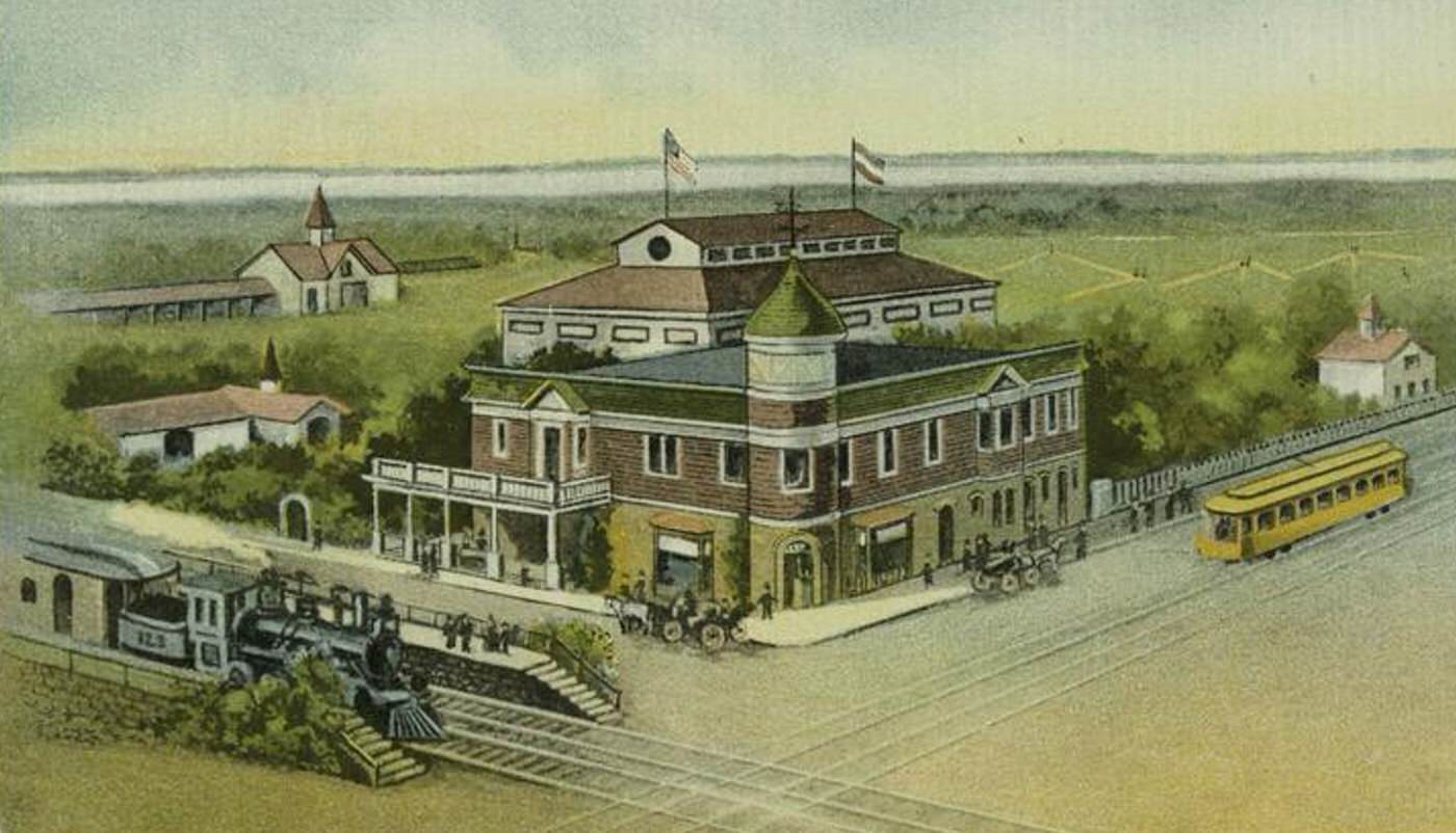
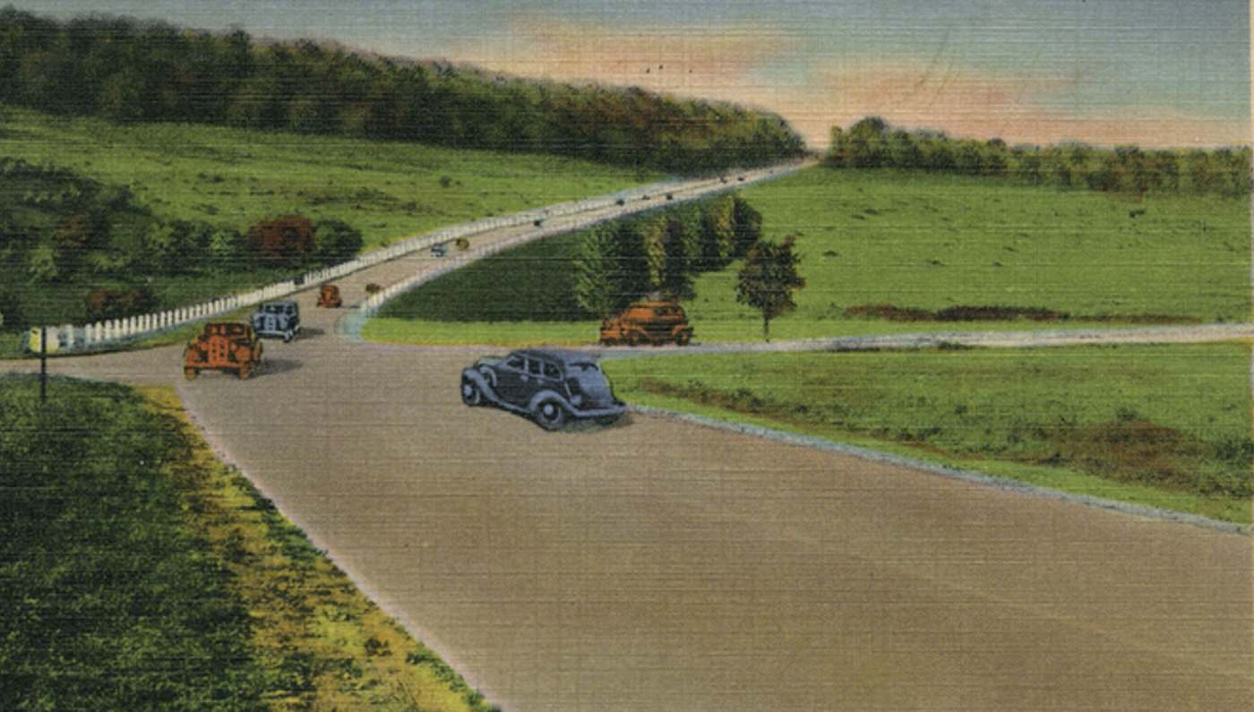
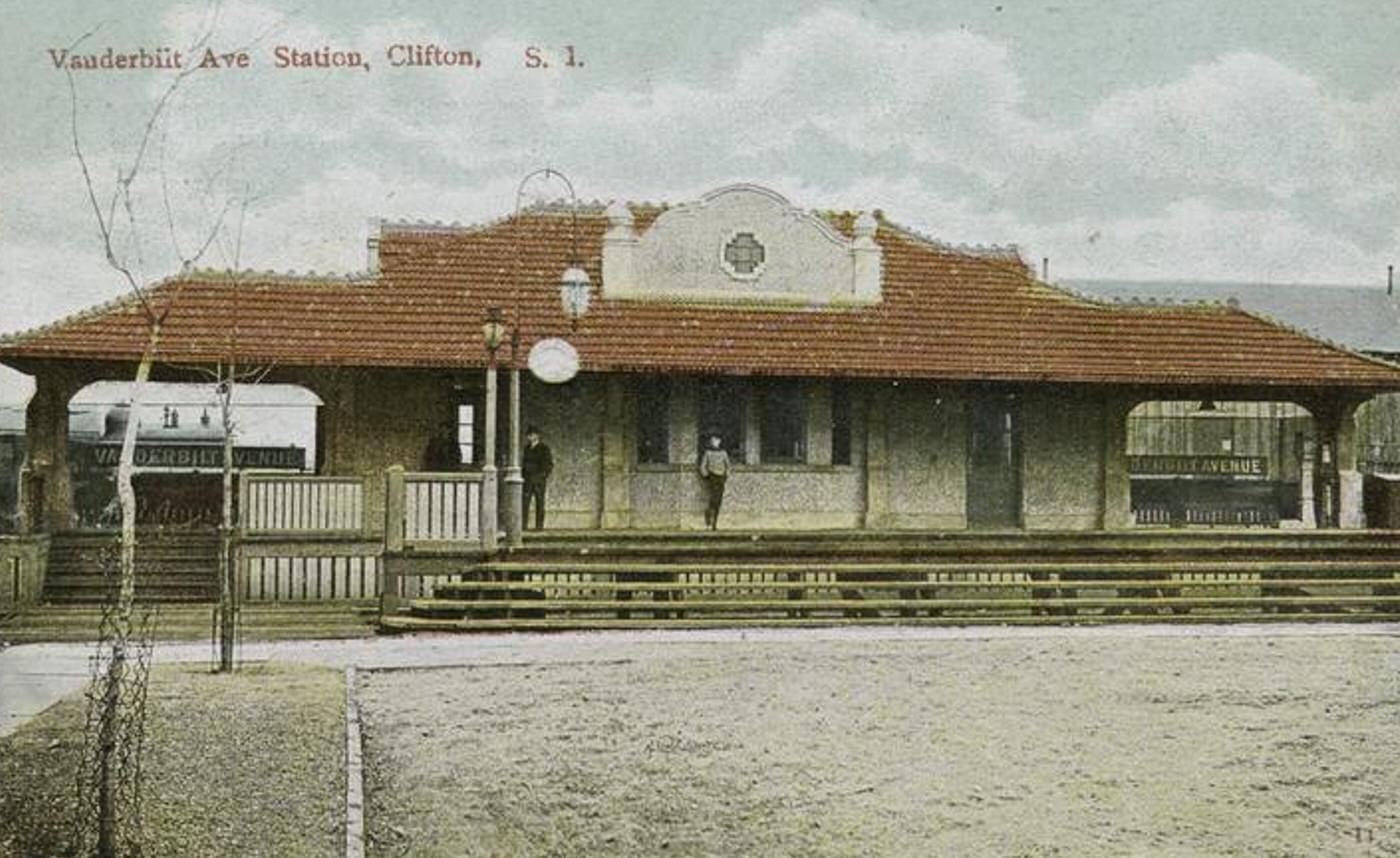
Transportation connecting the East Shore relied heavily on the Staten Island Railway (SIRT). The main SIRT line ran through the area, providing the most reliable connection for residents of the villages to travel north to the St. George ferry terminal for access to Manhattan. Existing roads, including Amboy Road, Richmond Road, and precursors to Hylan Boulevard, connected the villages, serving horse-drawn vehicles and the increasing number of early automobiles. Electric trolley service was limited compared to the North Shore, primarily extending towards the South Beach and Midland Beach resort areas.
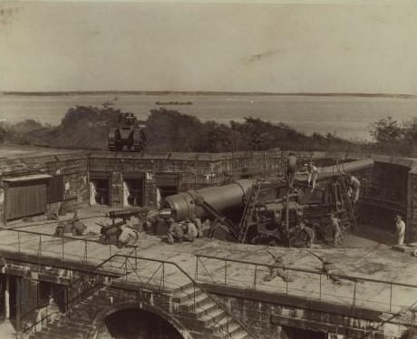
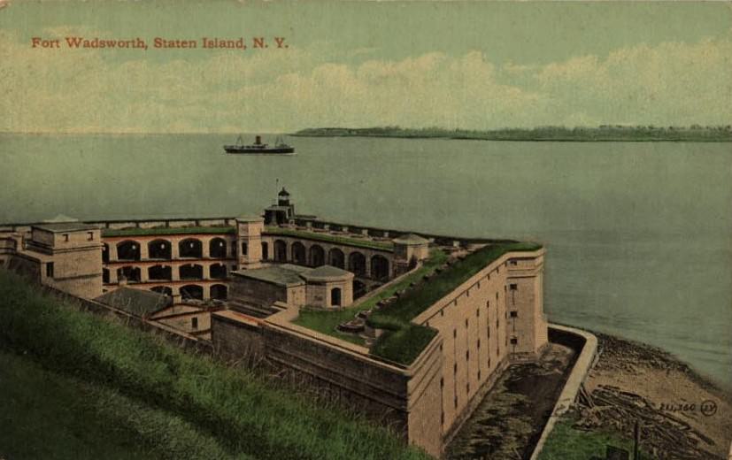
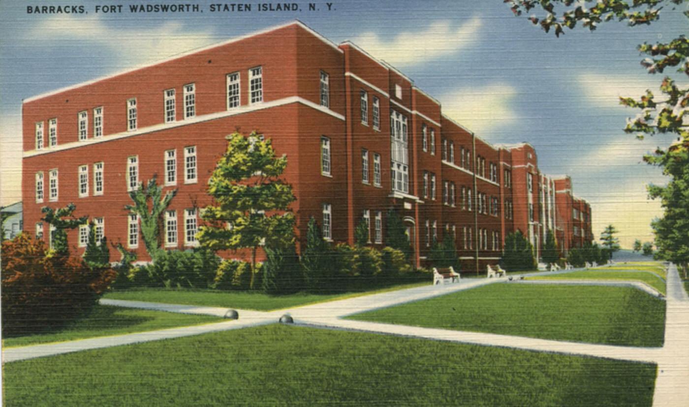
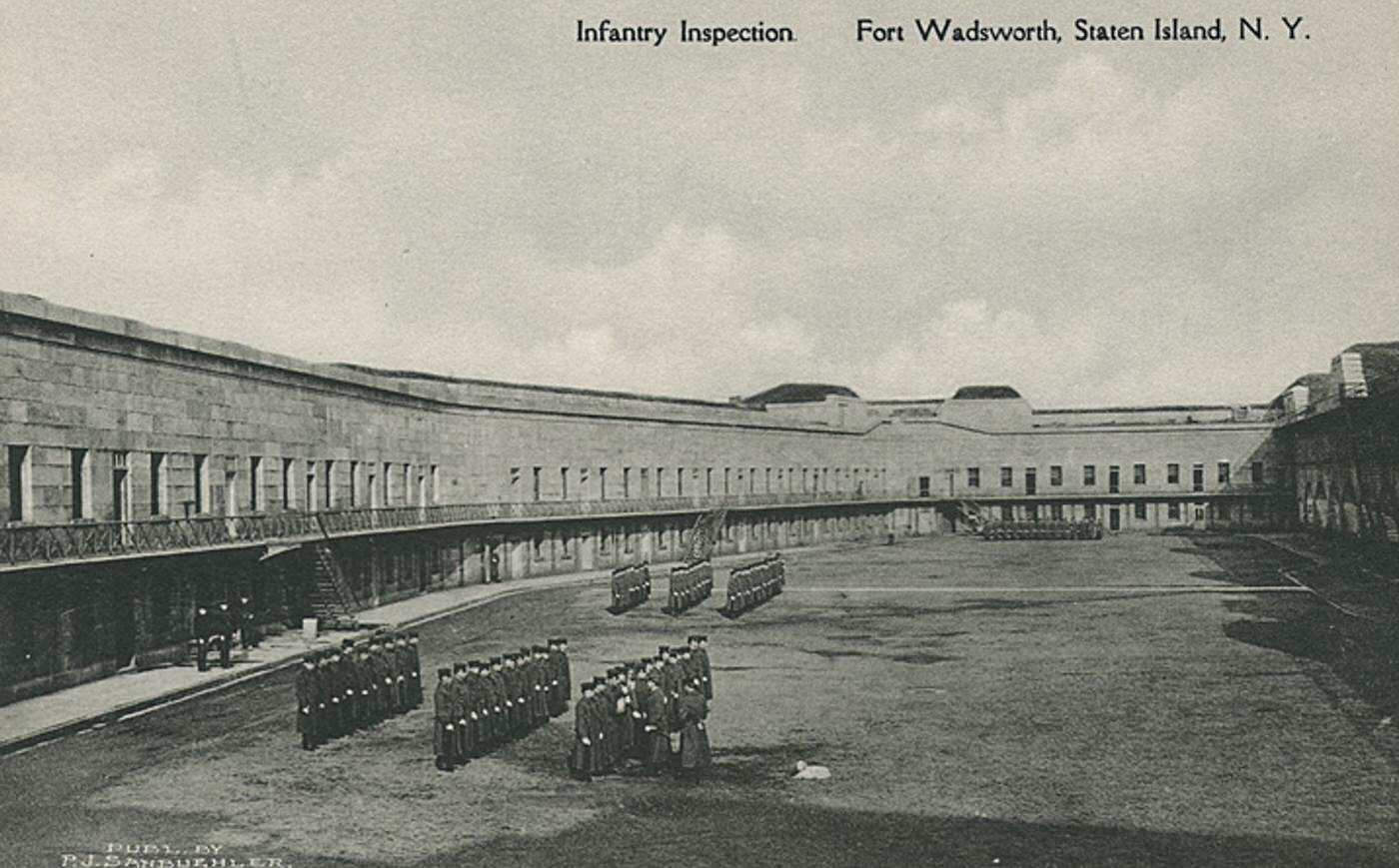
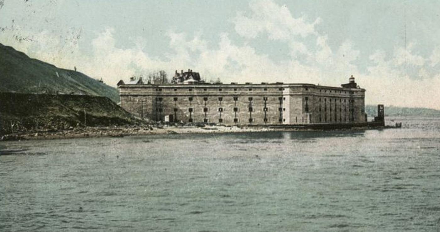
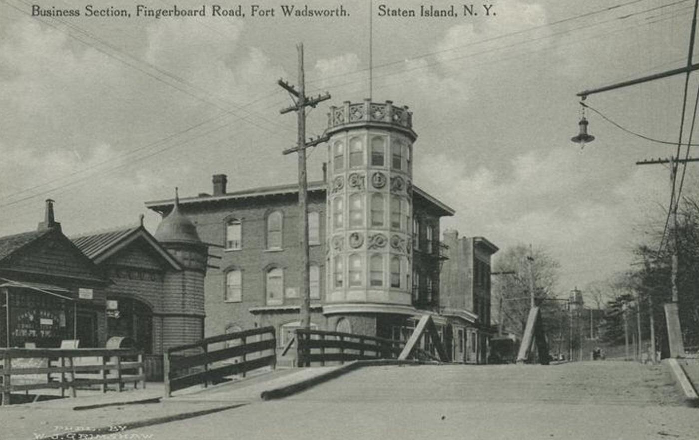
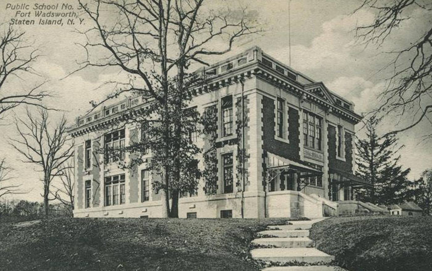
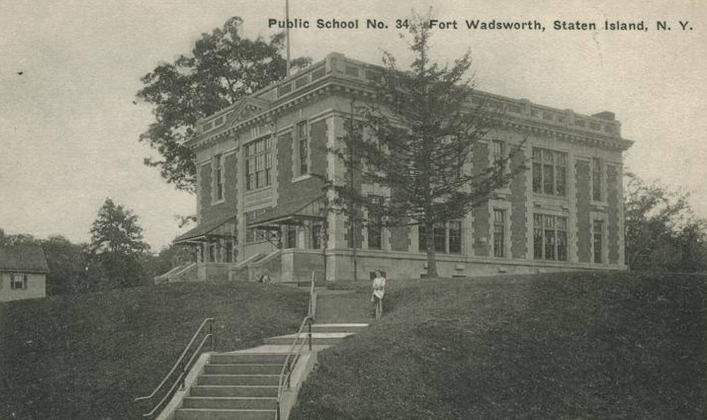
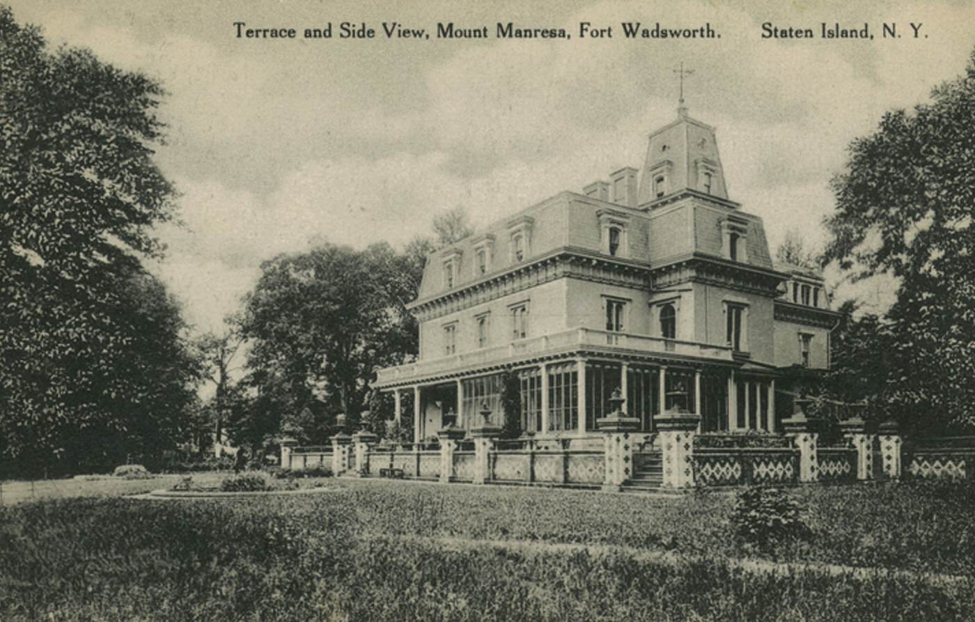
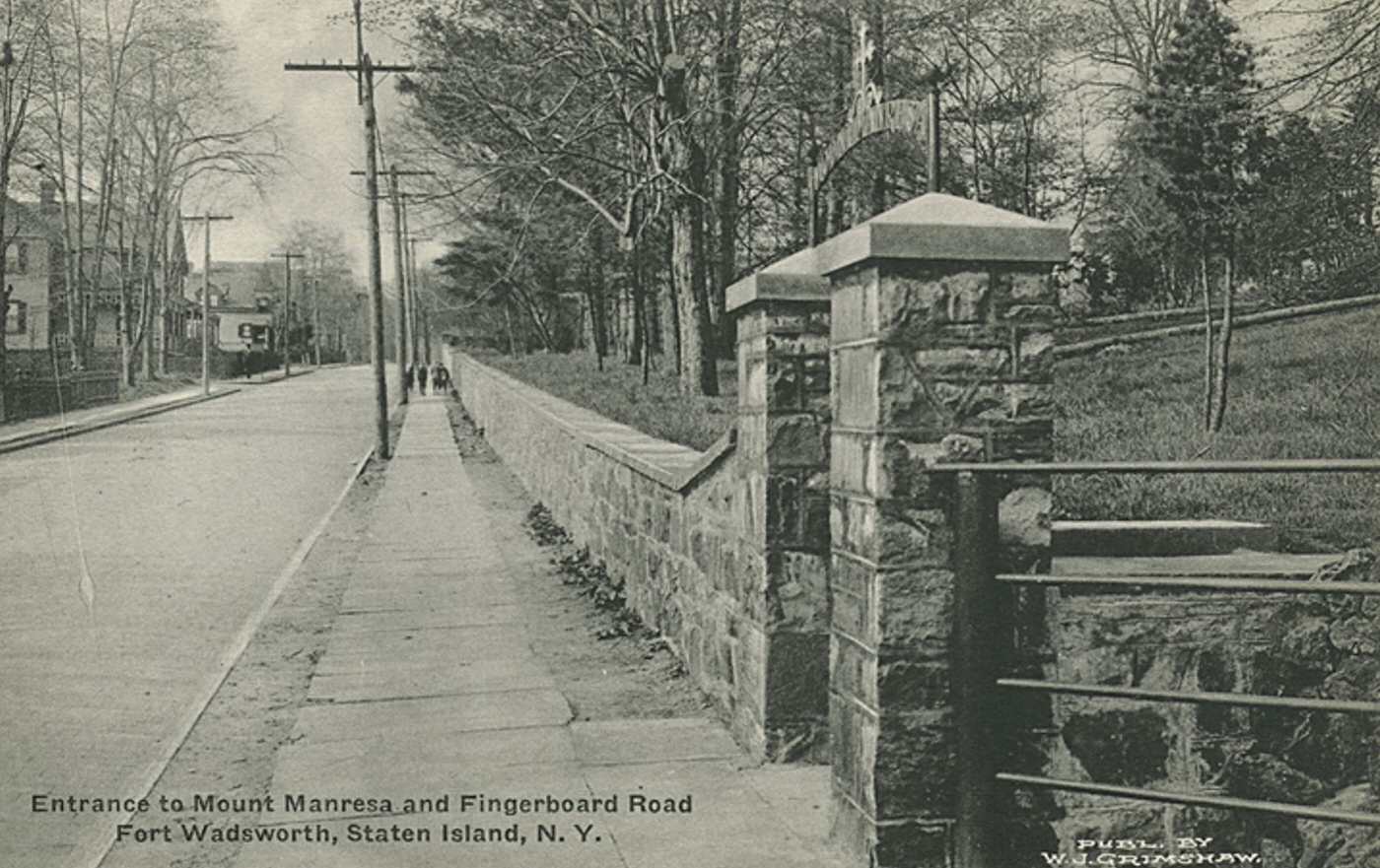
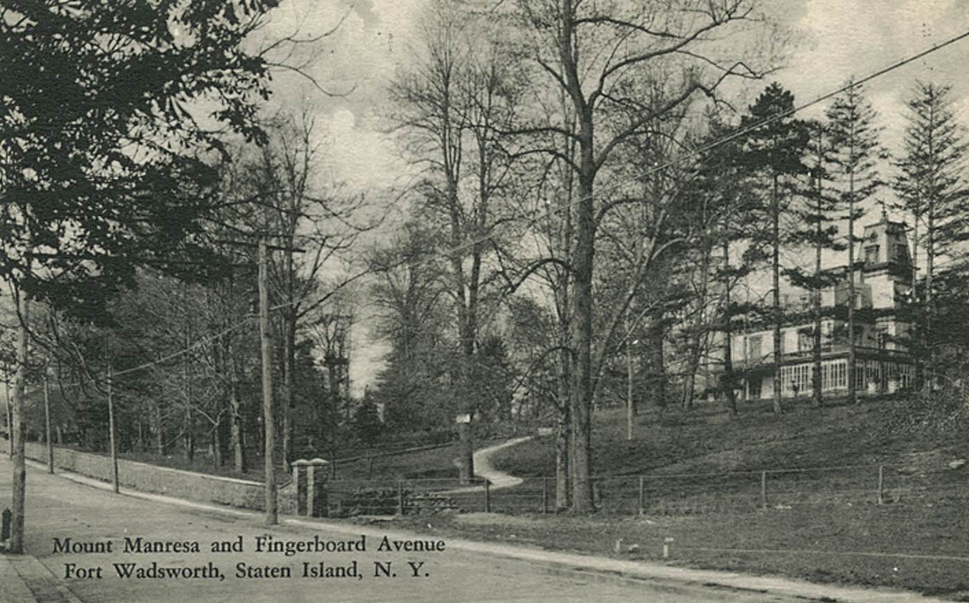
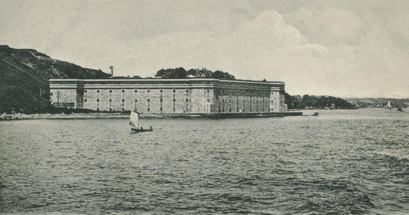
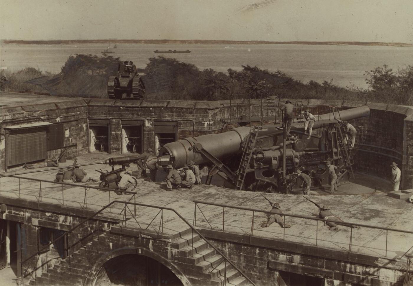
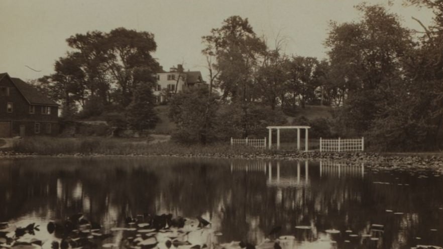
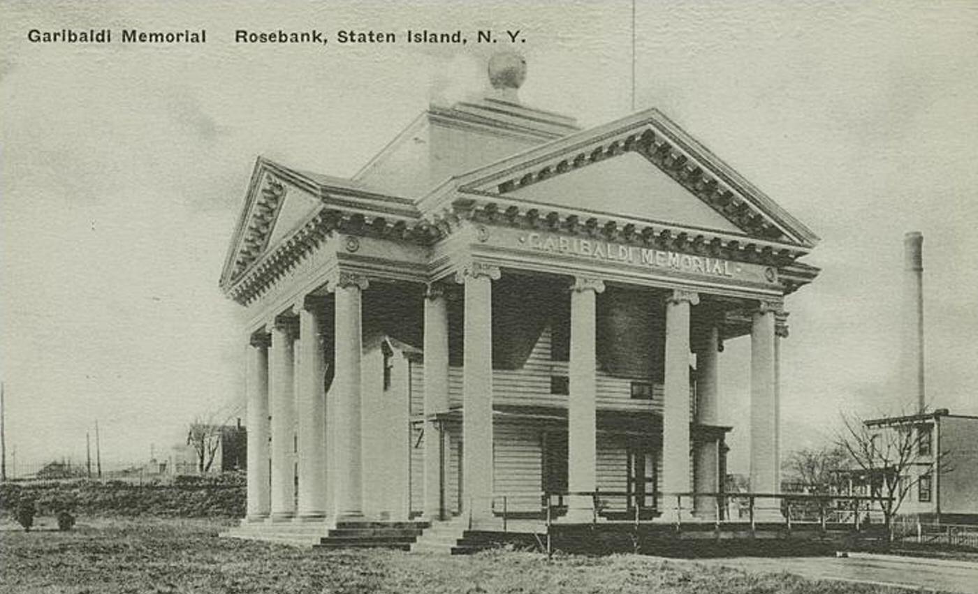
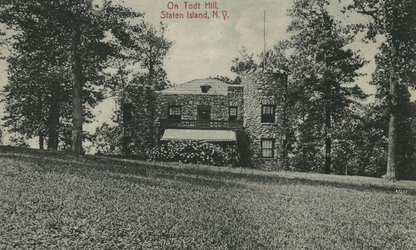
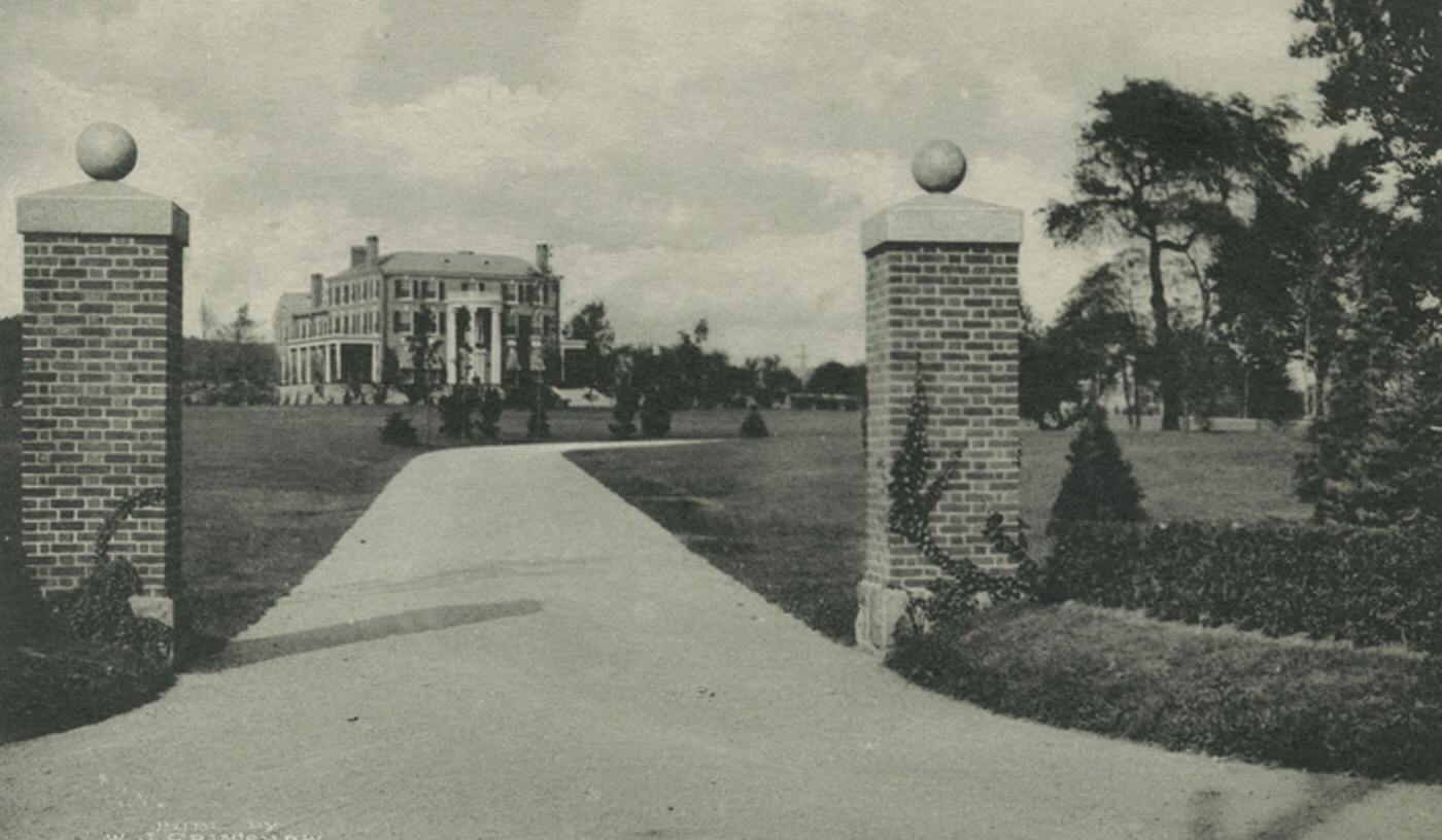
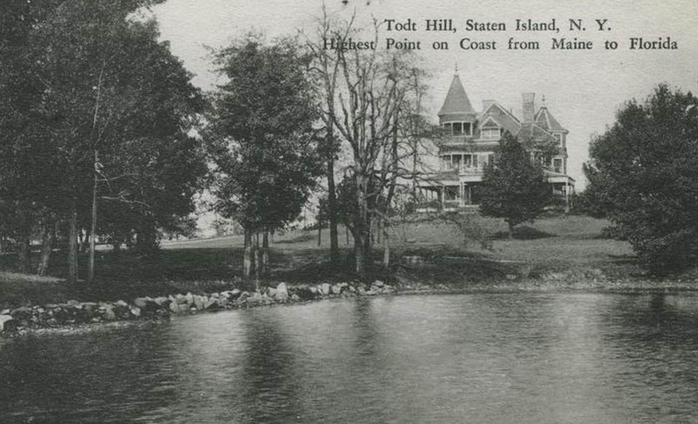
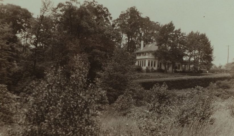
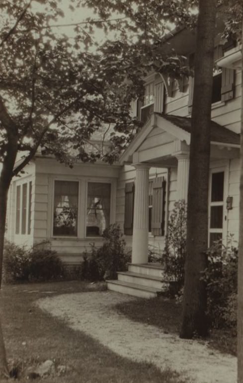
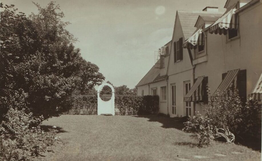
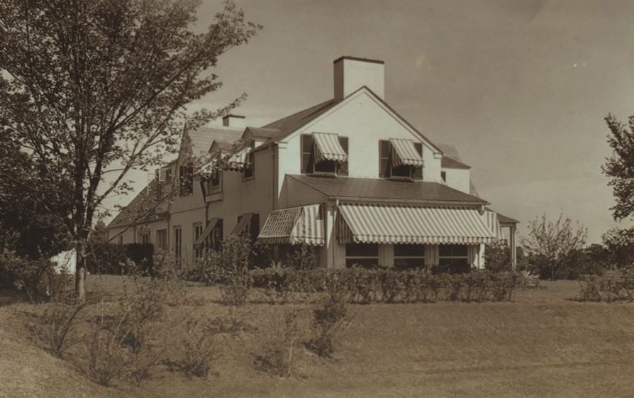
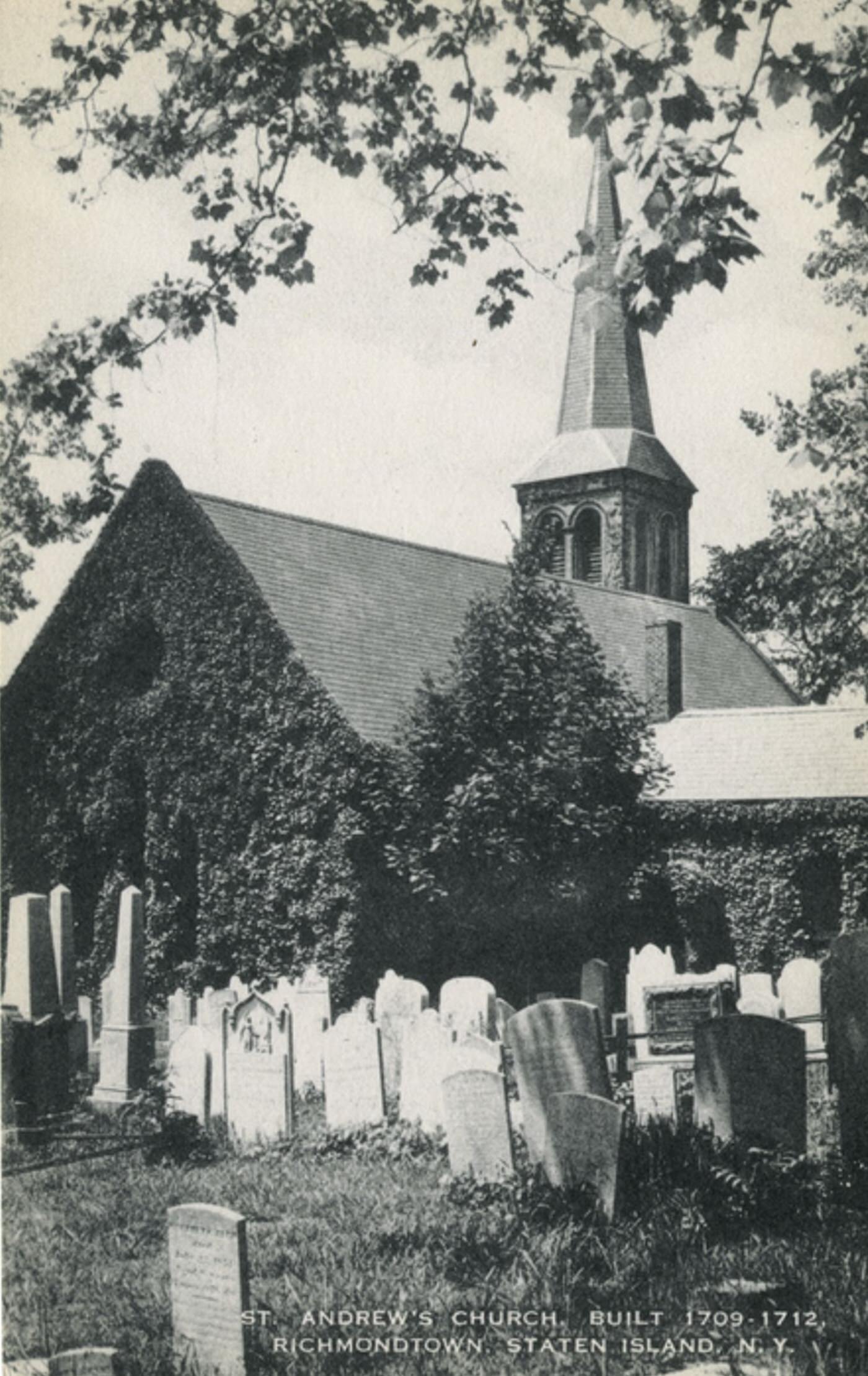
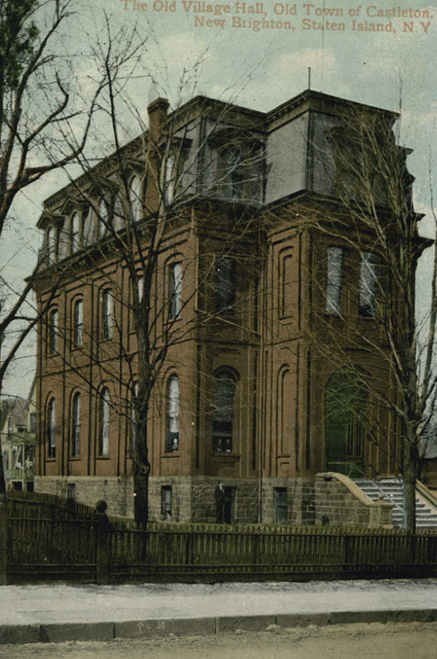
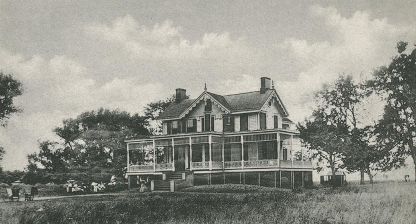
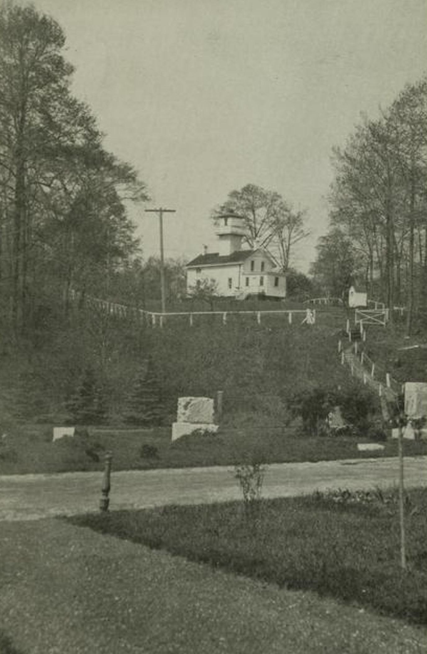
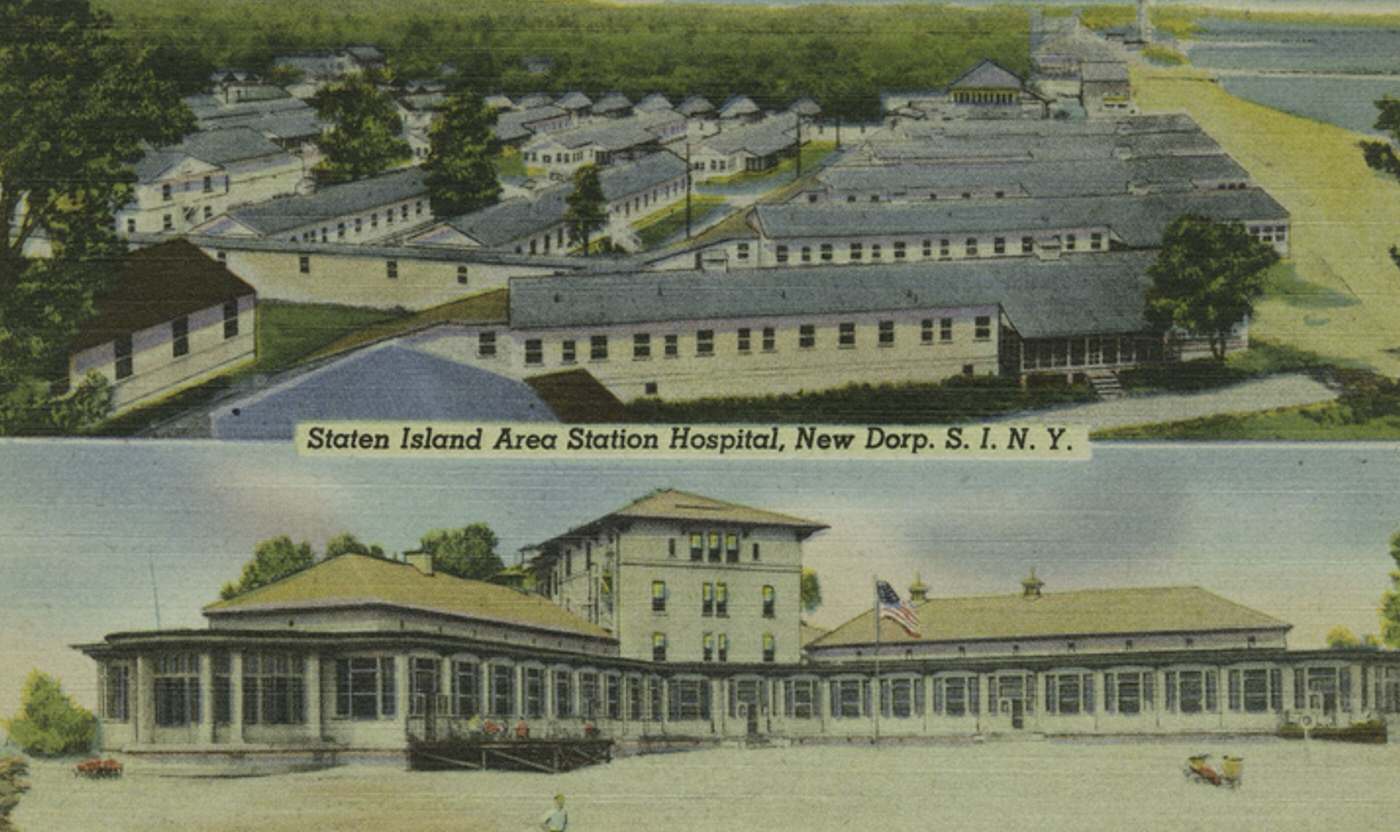
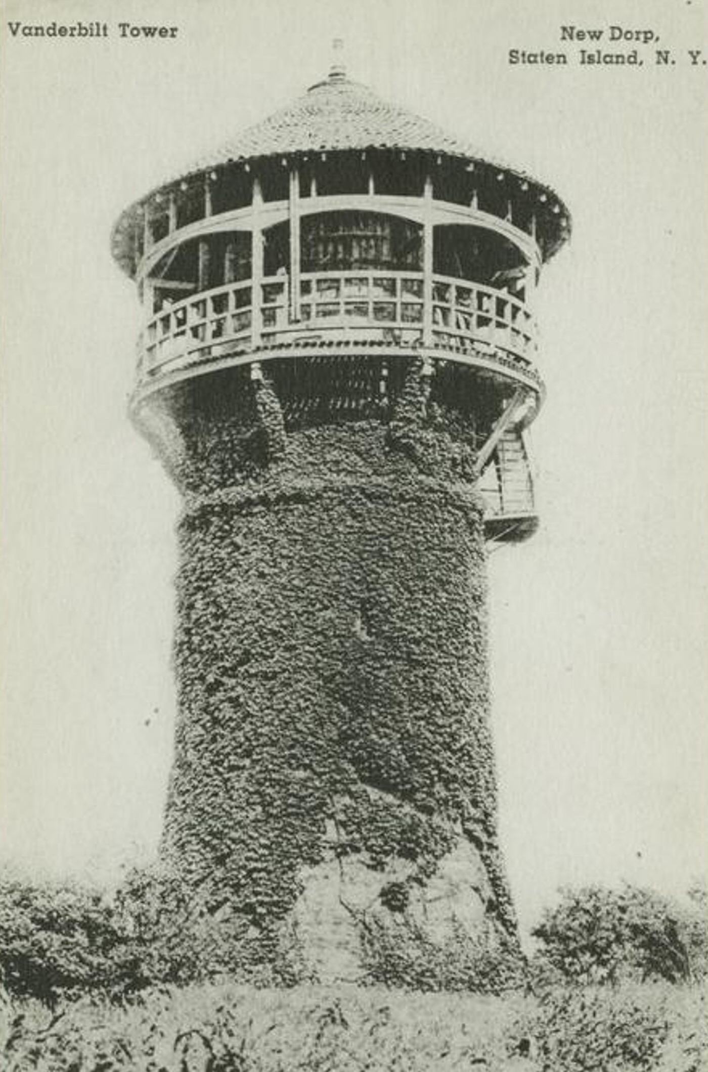
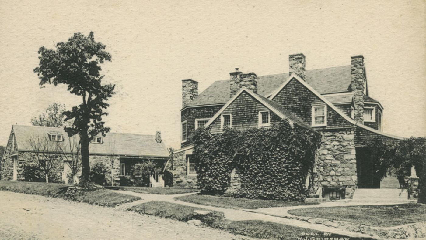
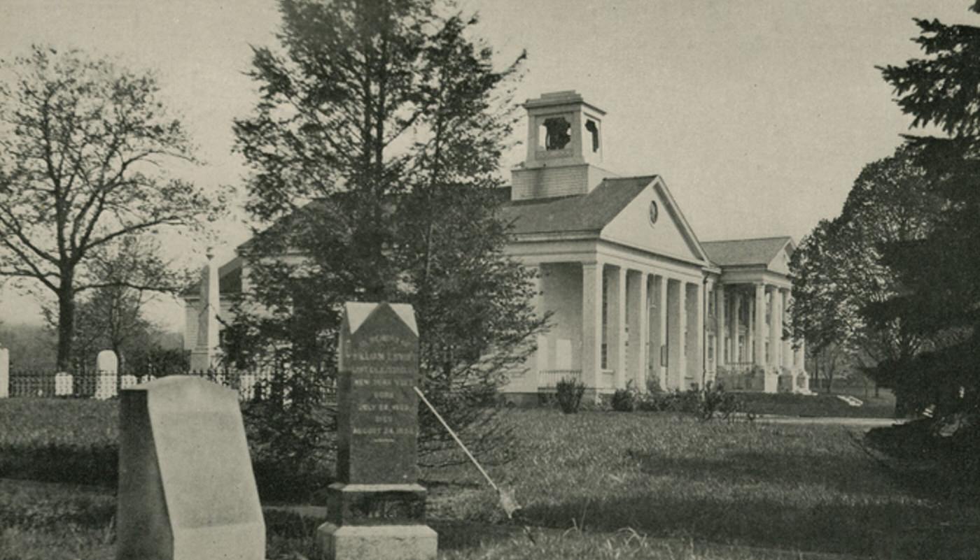
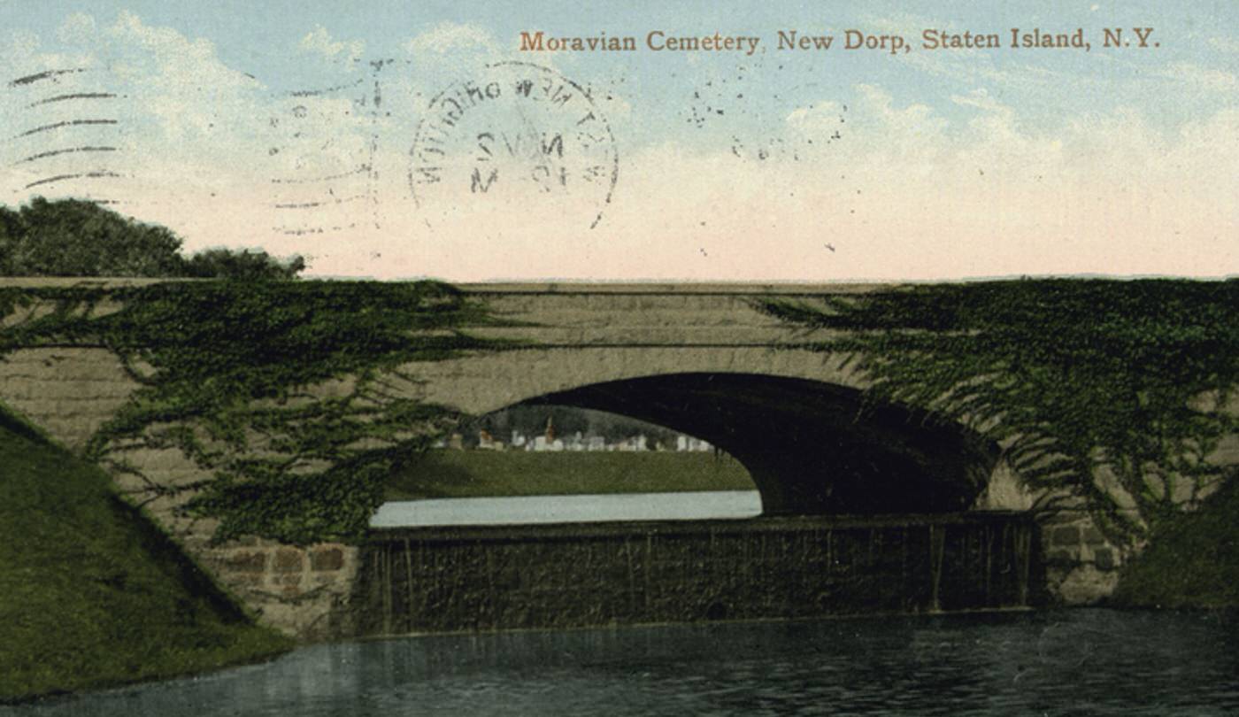
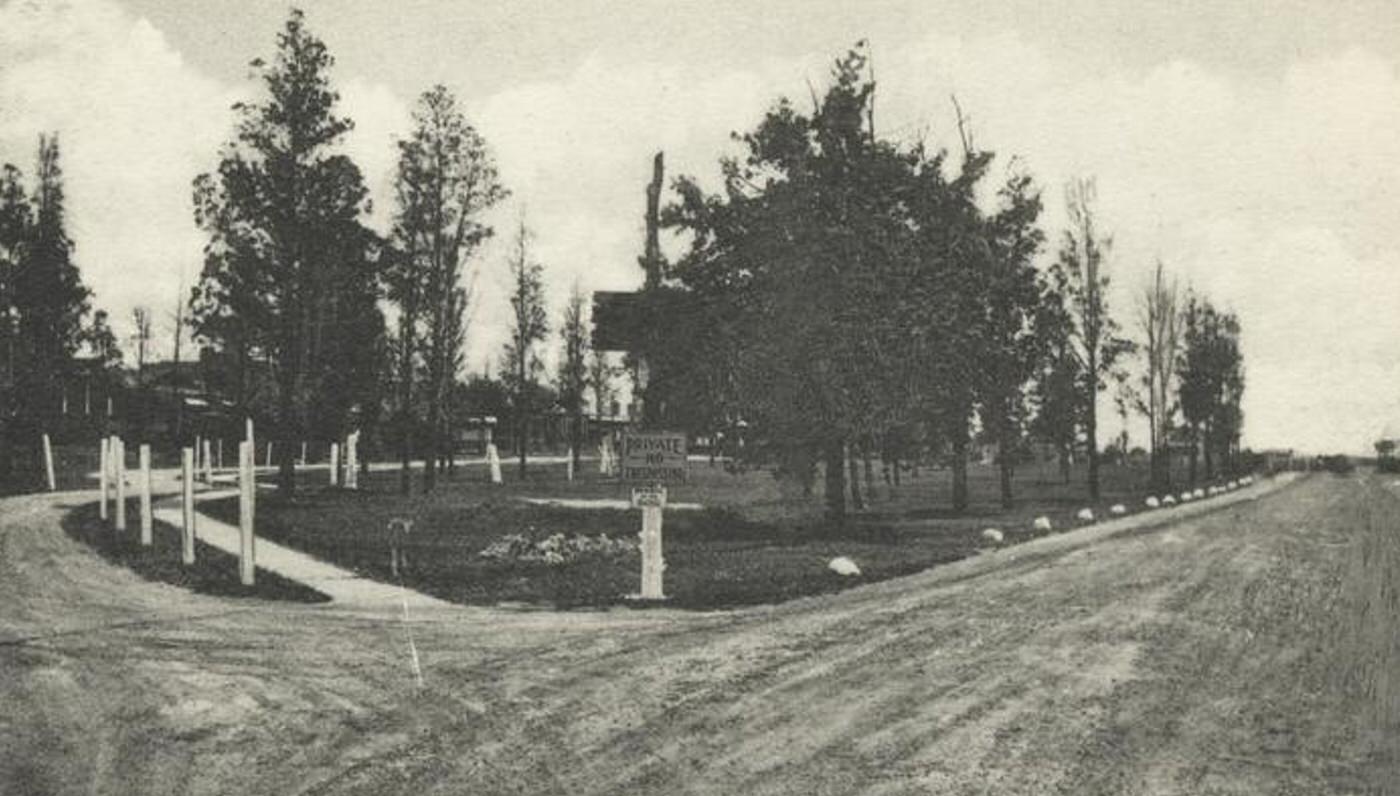
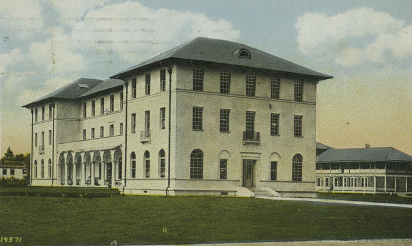
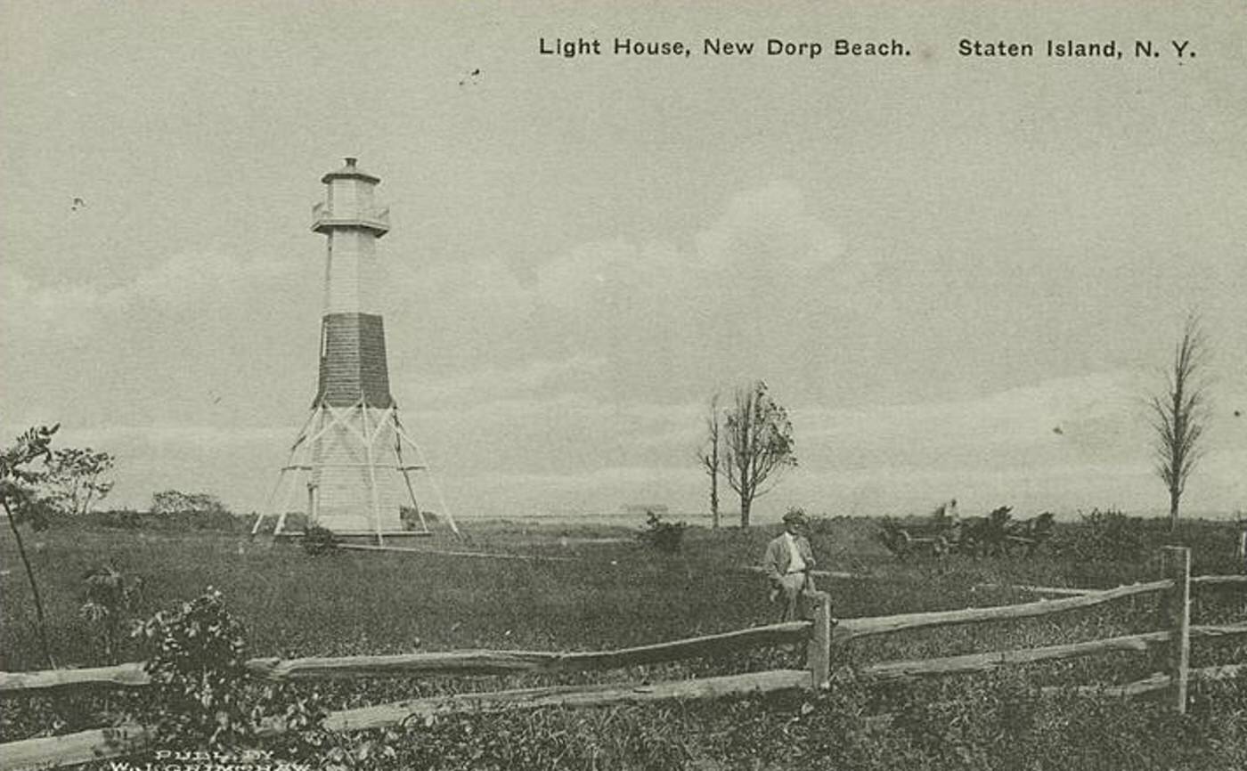
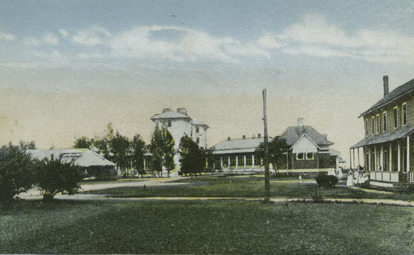
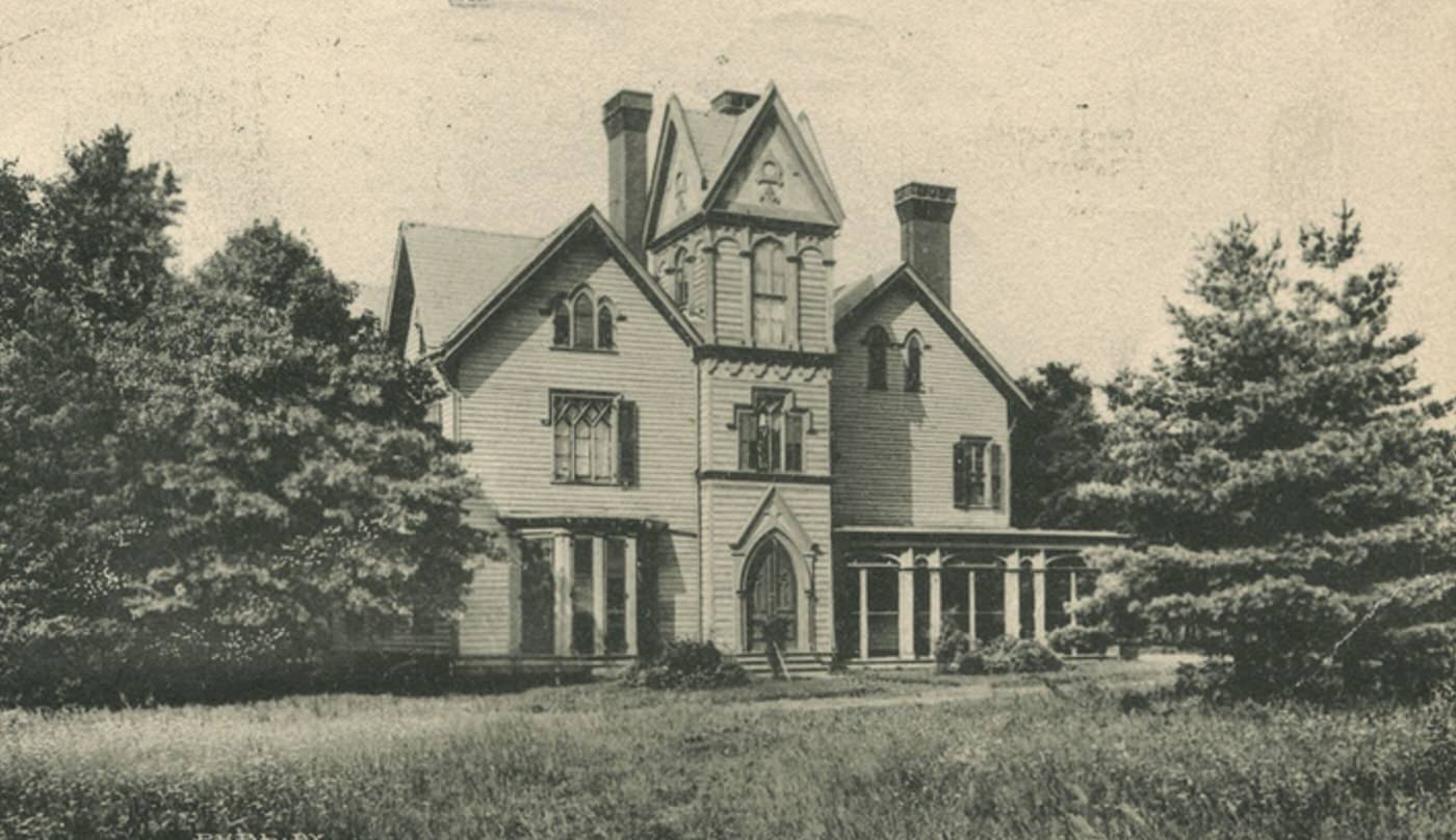
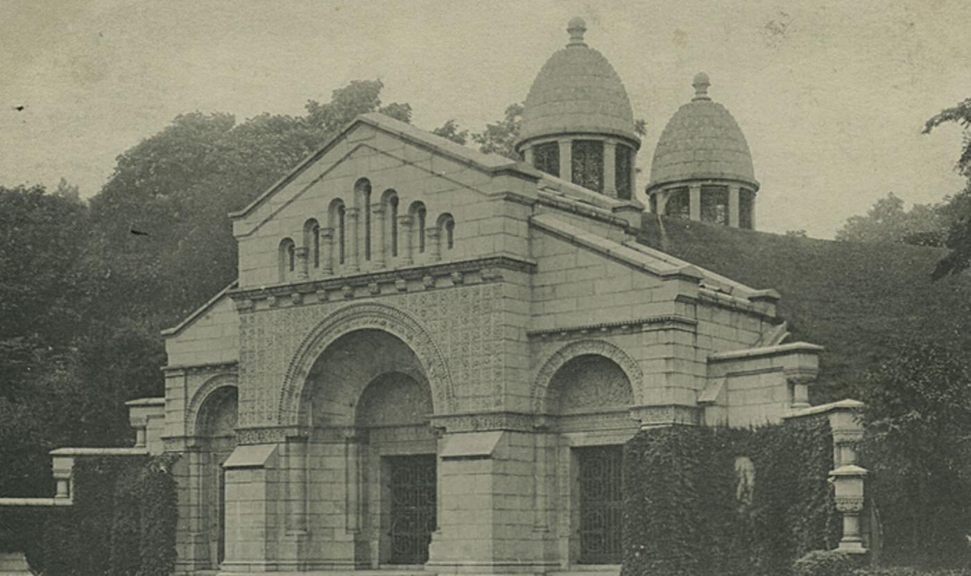
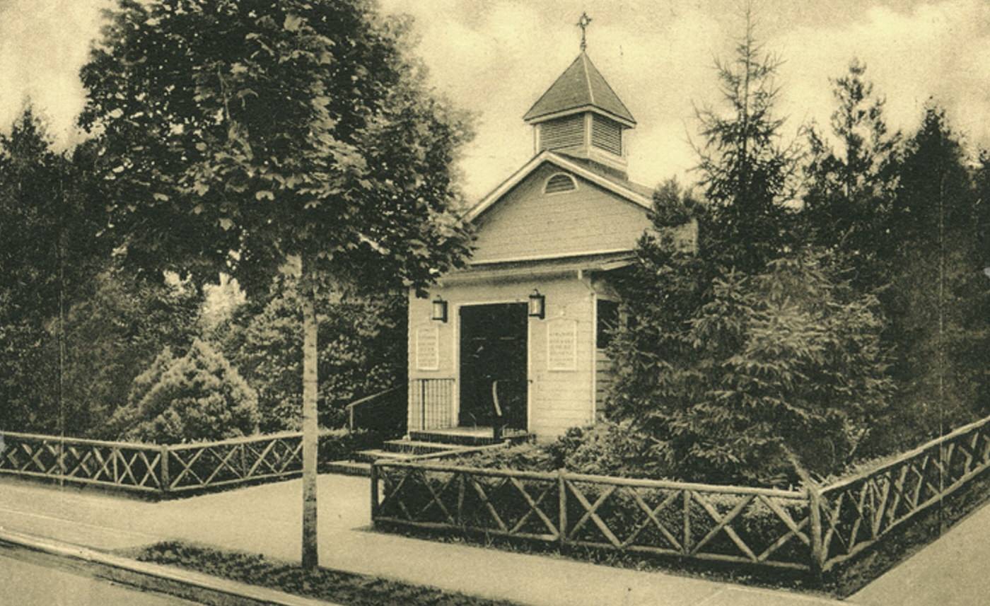
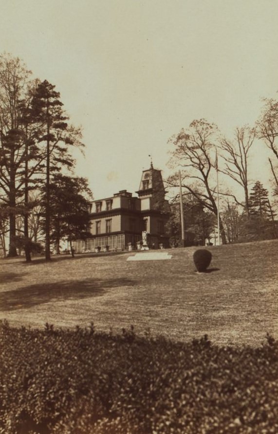
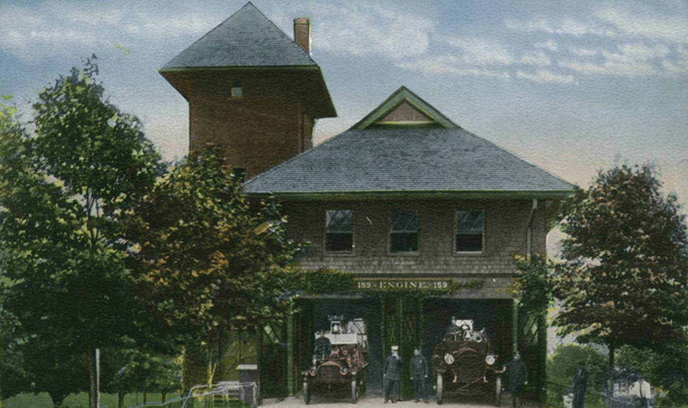
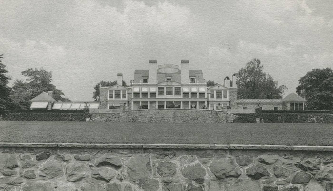
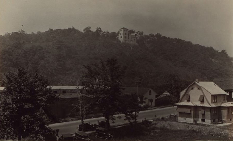
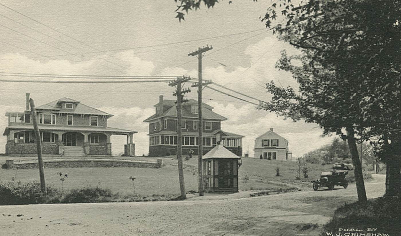
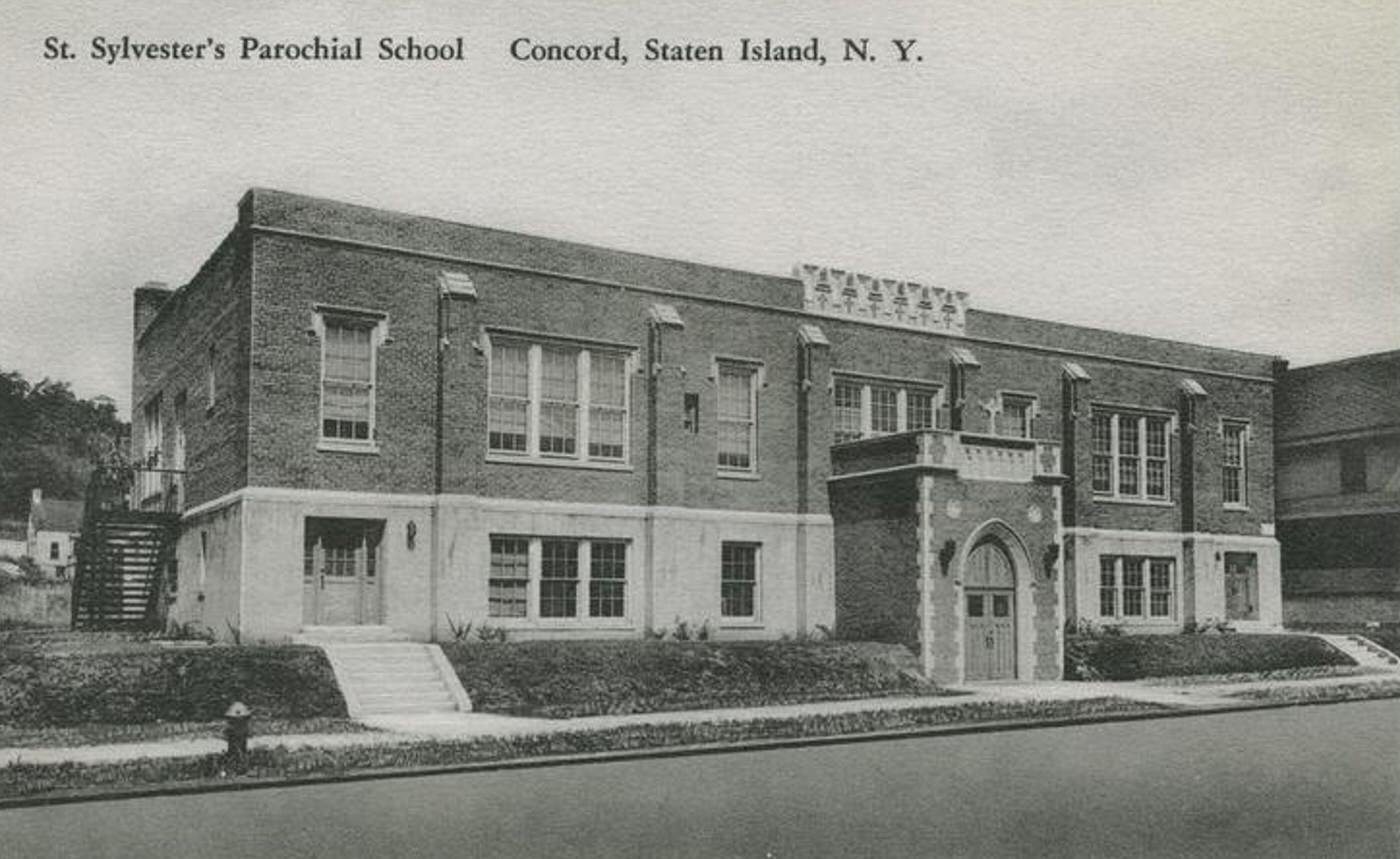
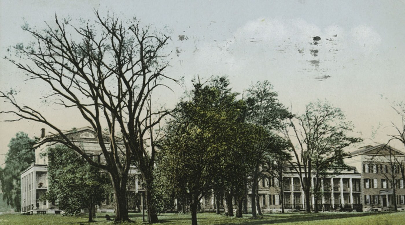
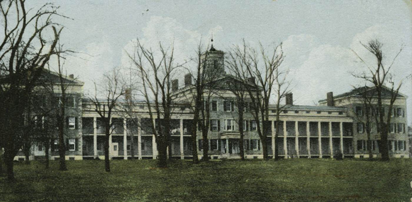
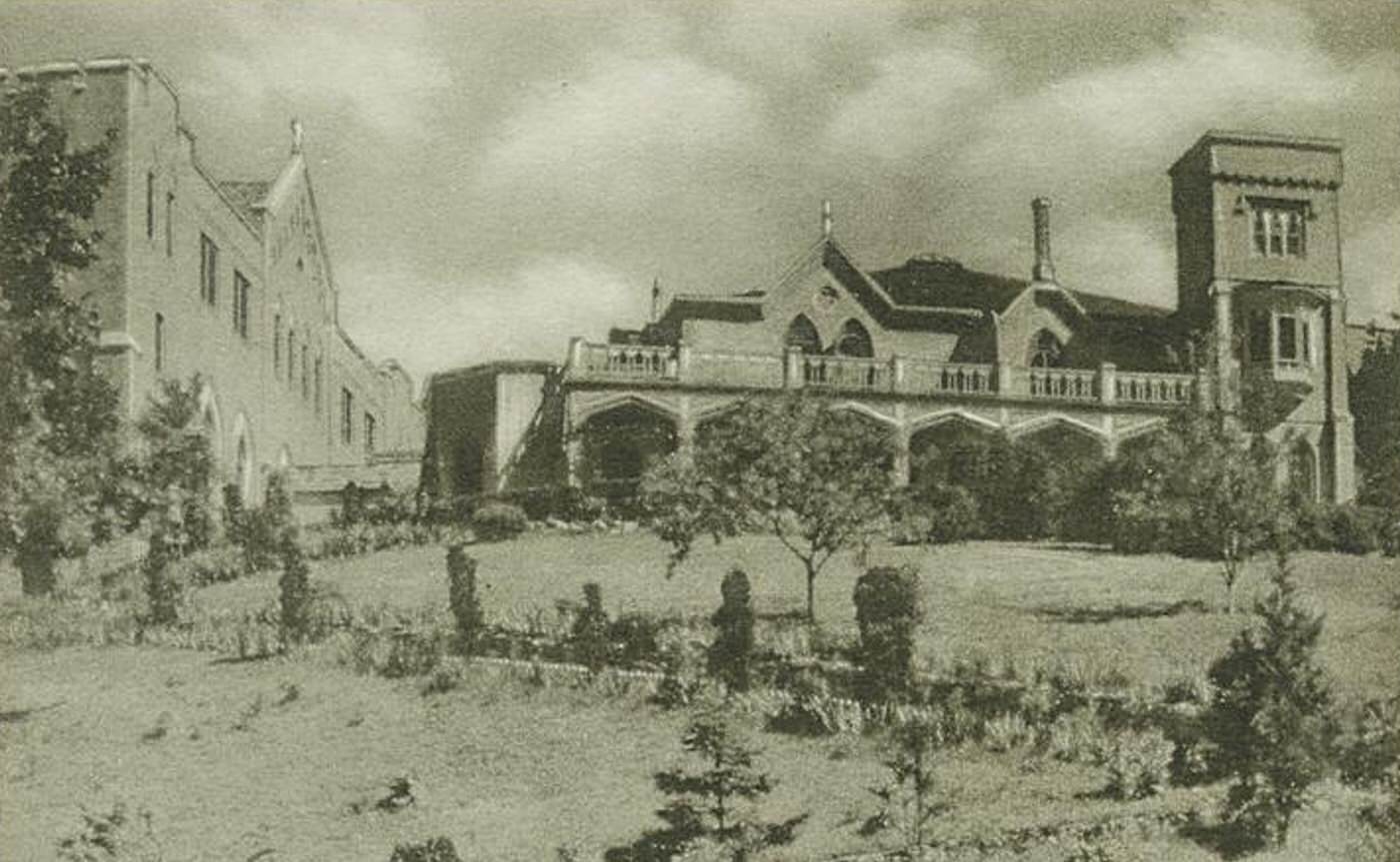
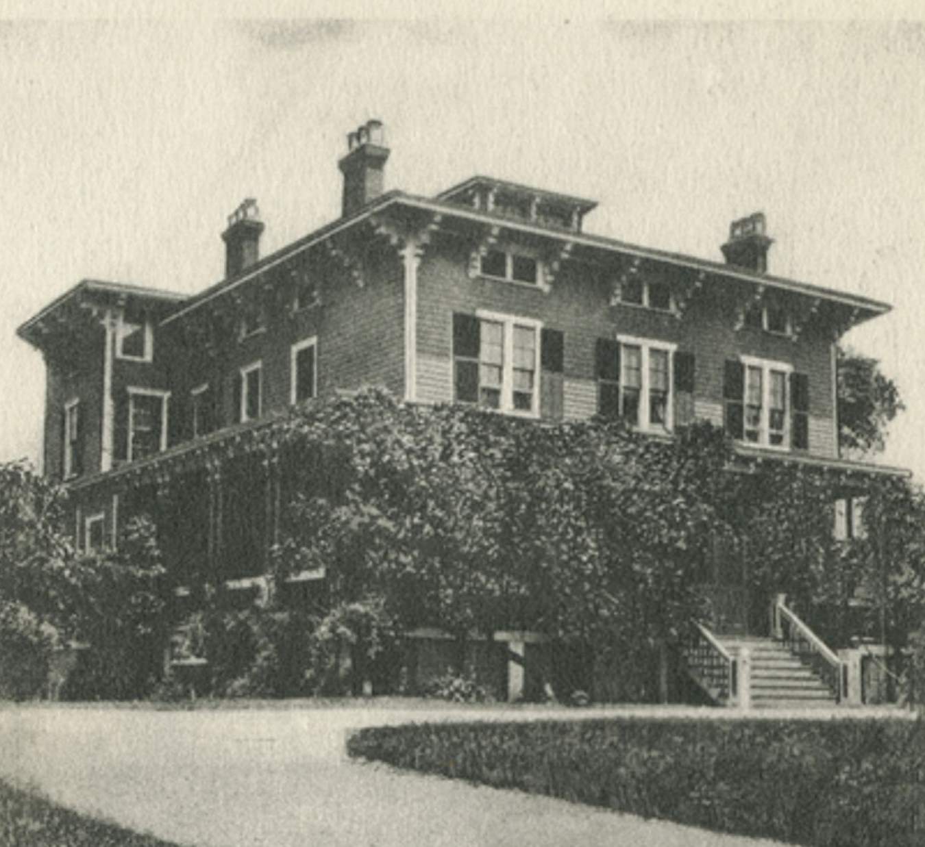
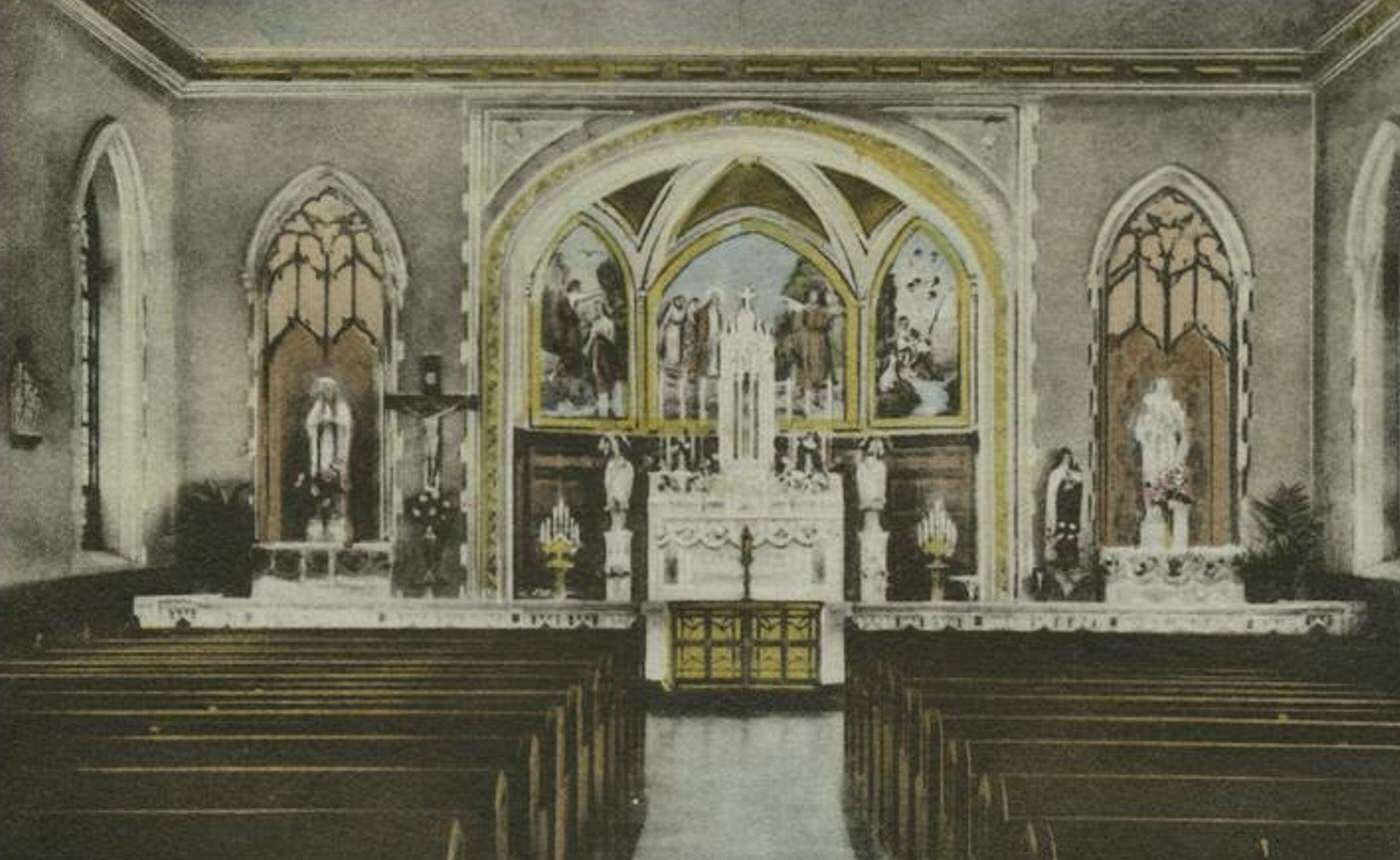
Several significant landmarks and institutions were already established on the East Shore in the early 1900s. Fort Wadsworth stood as a major, active military base guarding the entrance to New York Harbor at the Narrows. The large and historic Moravian Cemetery in New Dorp served as a prominent burial ground, already containing the impressive Vanderbilt family mausoleum. Historic Richmond Town, though its administrative importance was fading, still housed county functions. Churches serving various denominations and local public schools were fixtures in the established villages. Some large private estates occupied lands, particularly on the hills offering views of the bay.


GIPHY App Key not set. Please check settings