

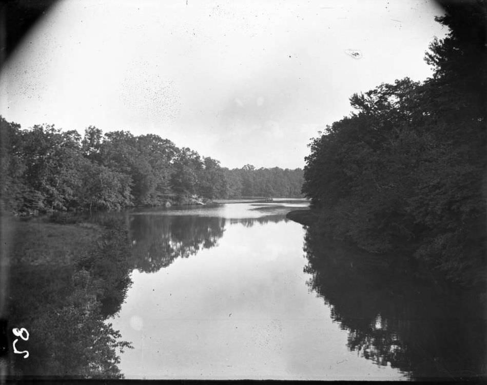
In the 1890s, the Bronx River was a waterway of two distinct personalities. In its northern reaches, it was a scenic, natural stream flowing through newly established parkland and woodlands. To the south, as it neared the East River, it became a heavily exploited industrial channel, its waters darkened by the waste of mills and factories. The decade was a pivotal time for the river, marking the last moments of its rural character before the full weight of urbanization took hold.
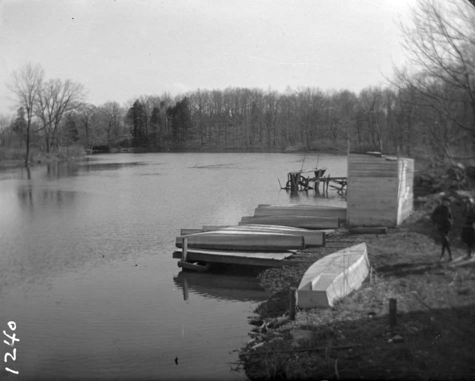
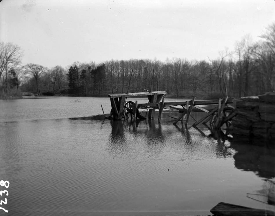
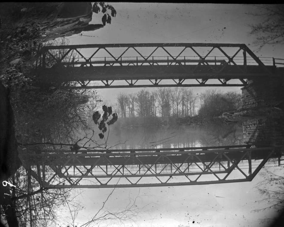
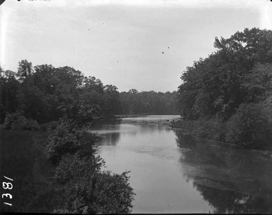
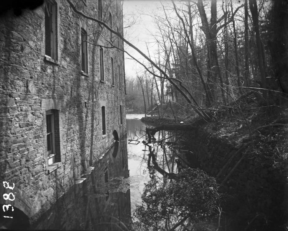
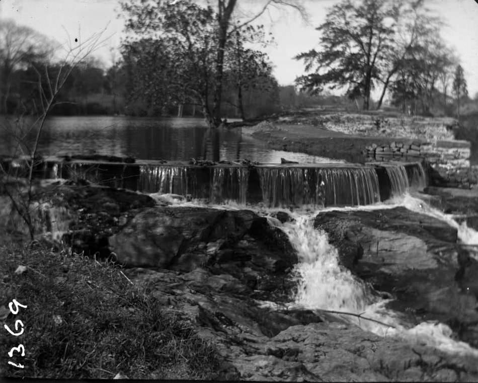
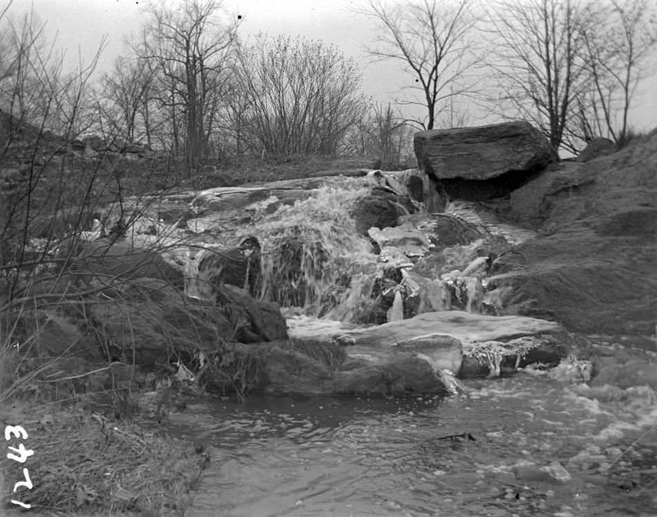
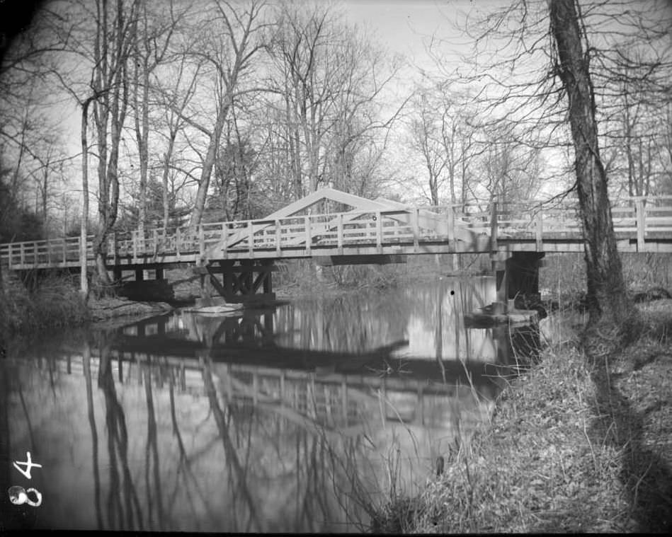
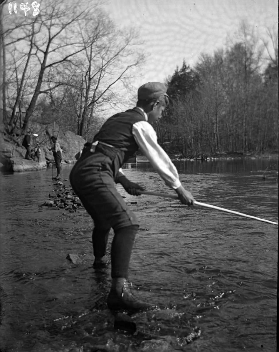
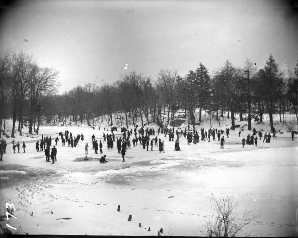
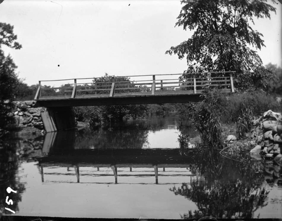
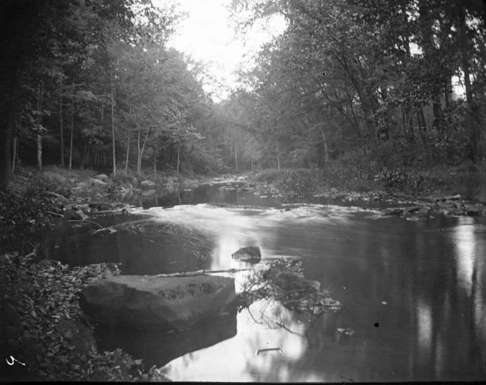
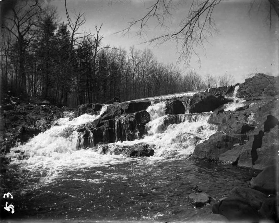
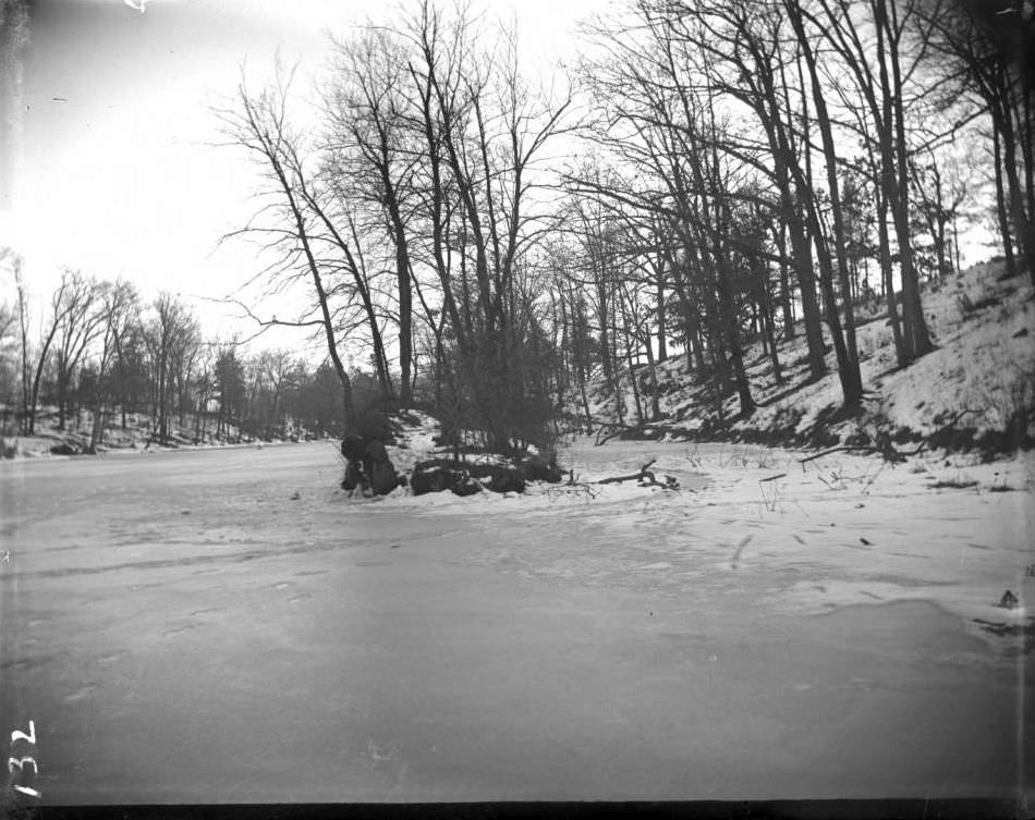
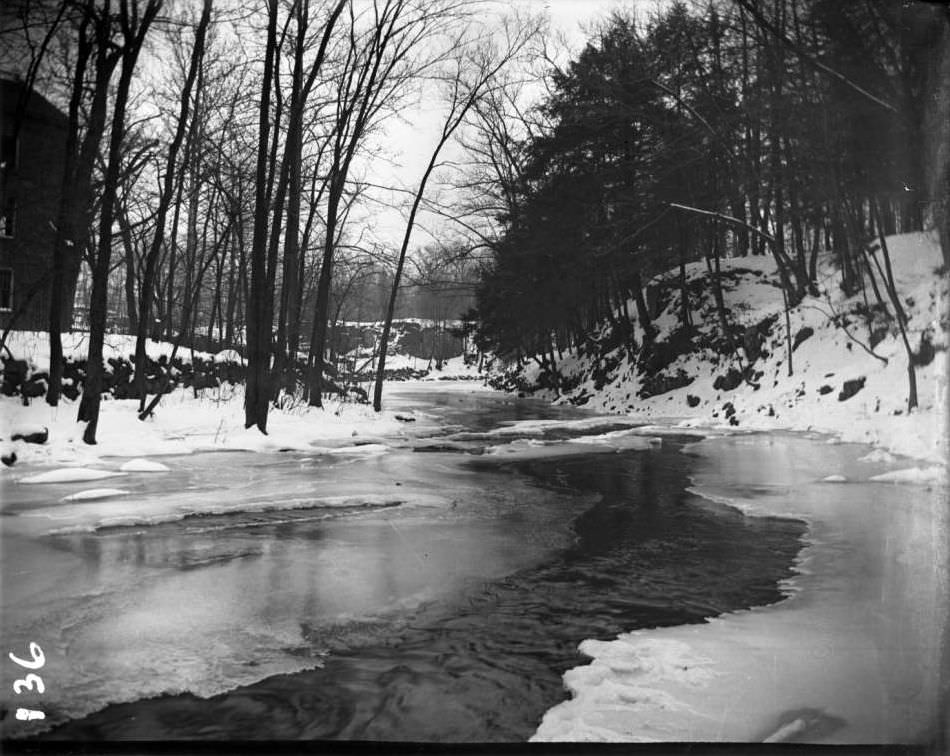
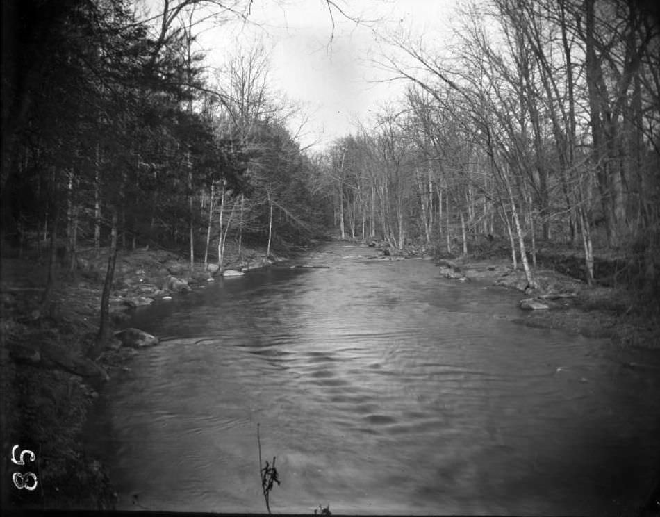
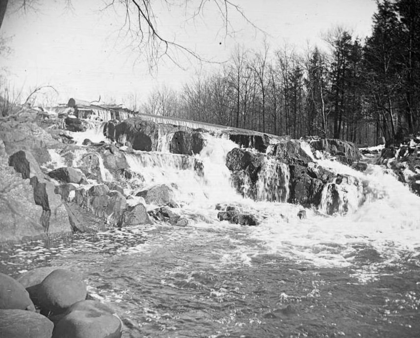
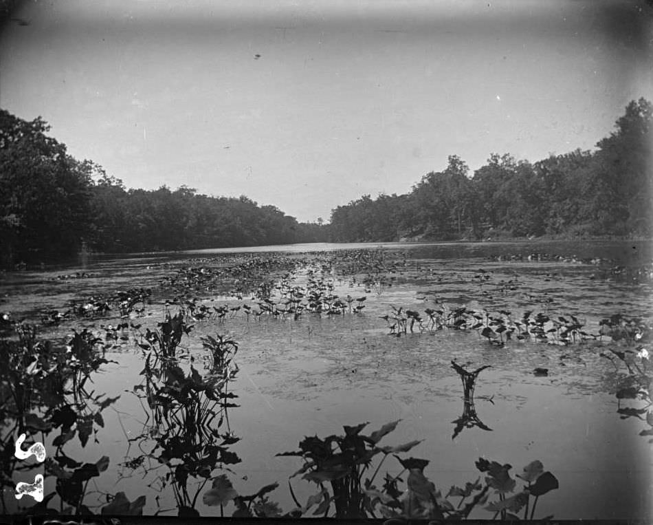
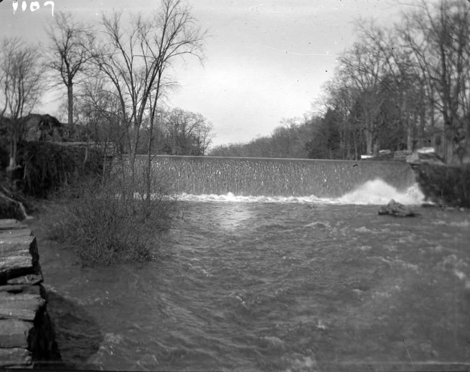
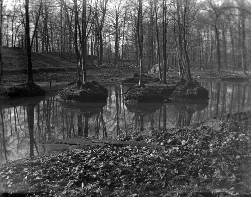
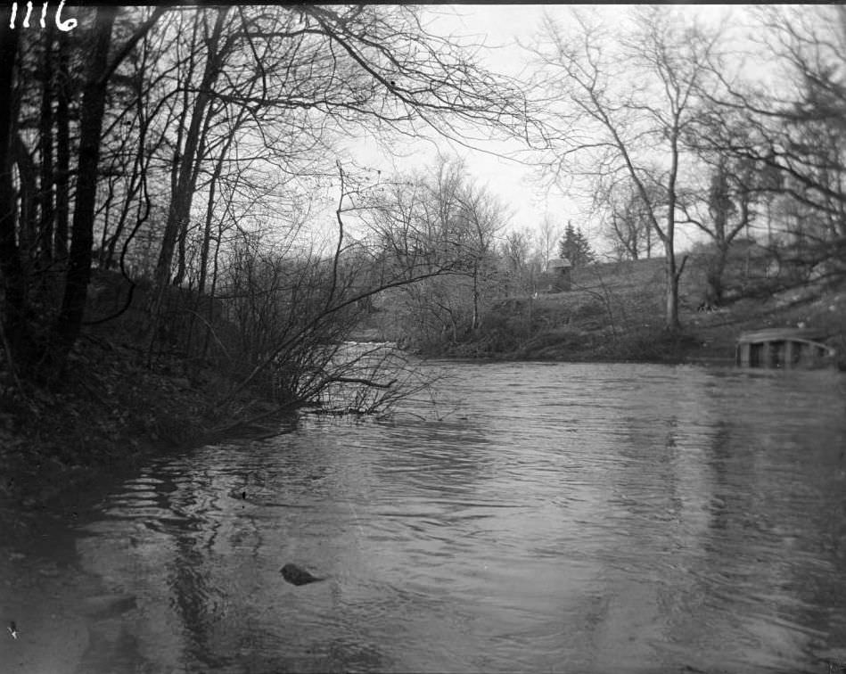
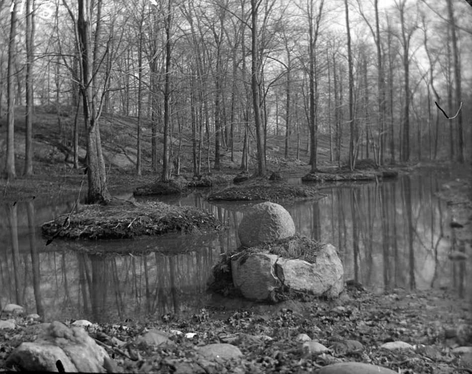
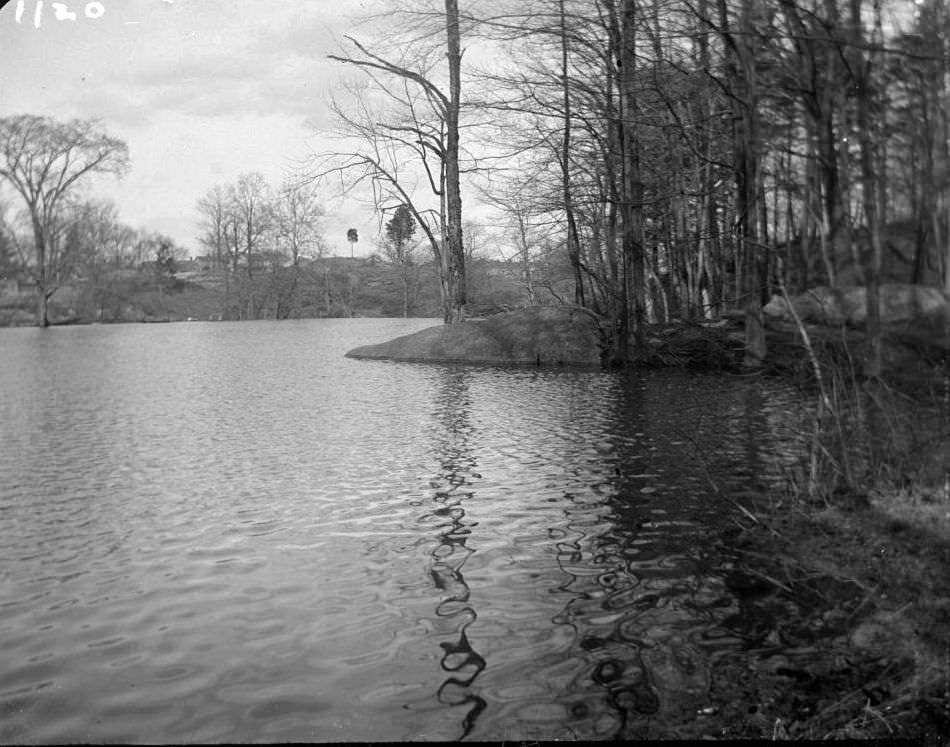
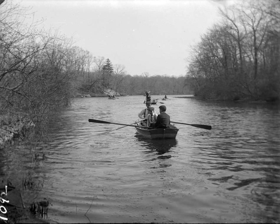
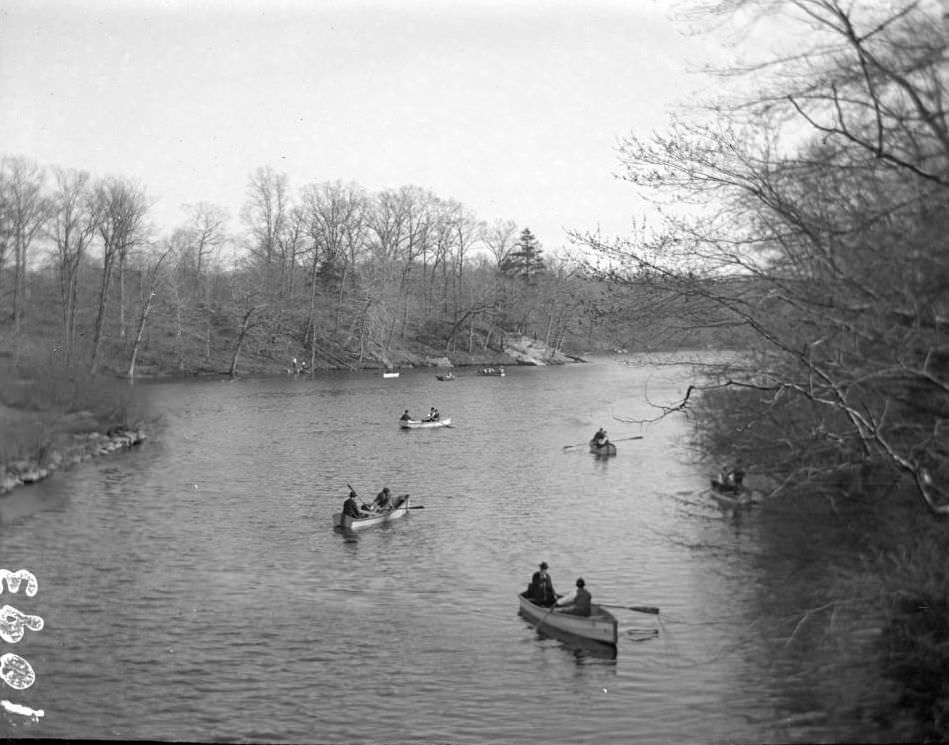
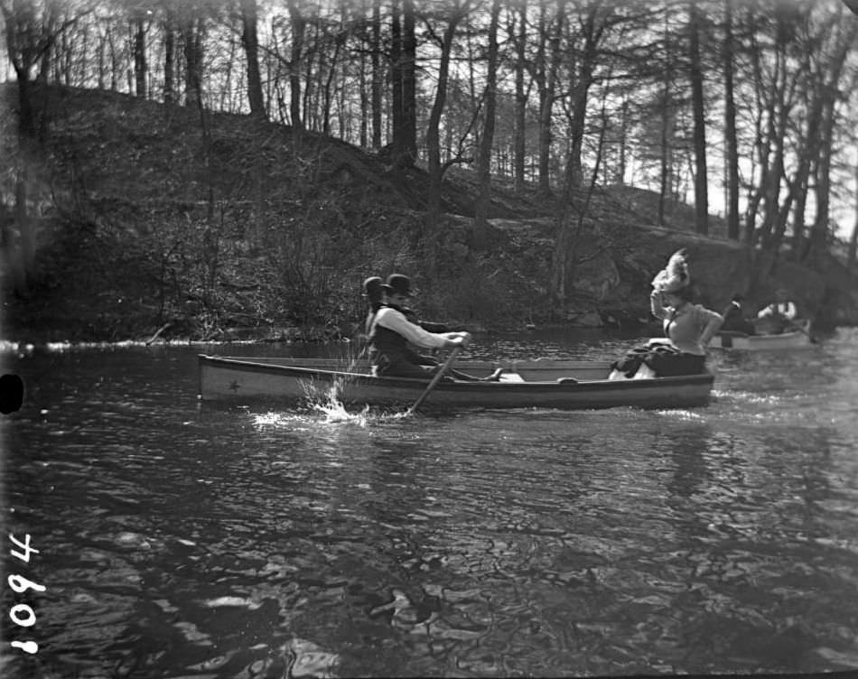
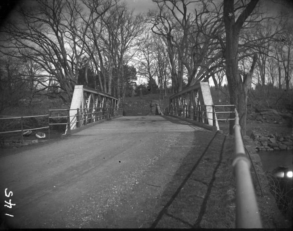
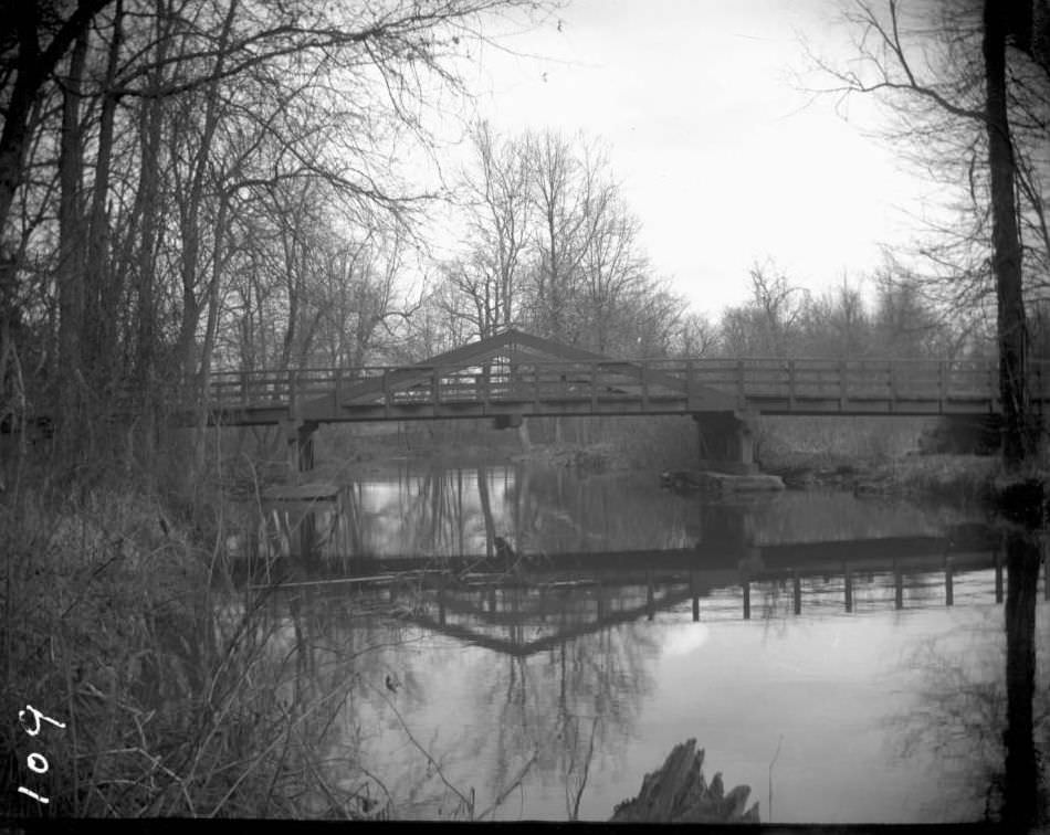
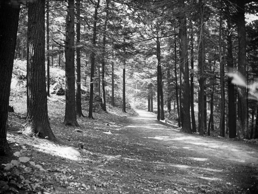
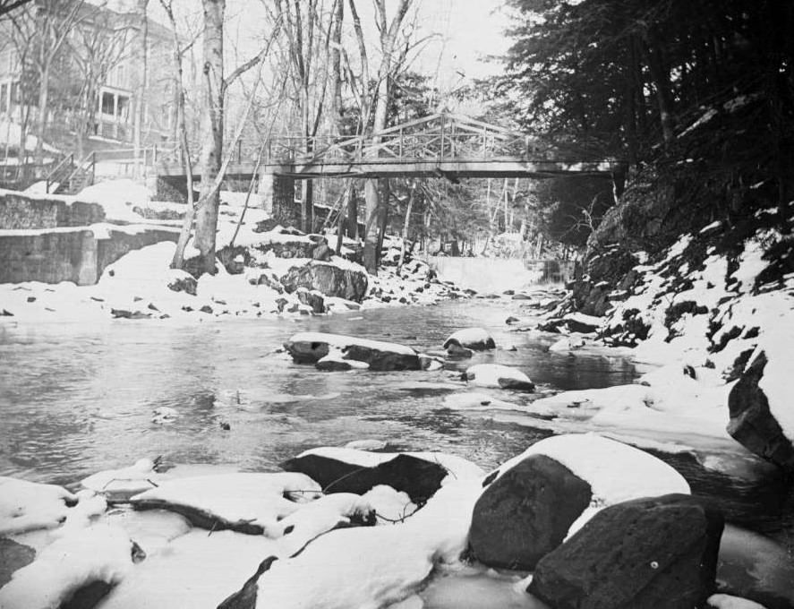
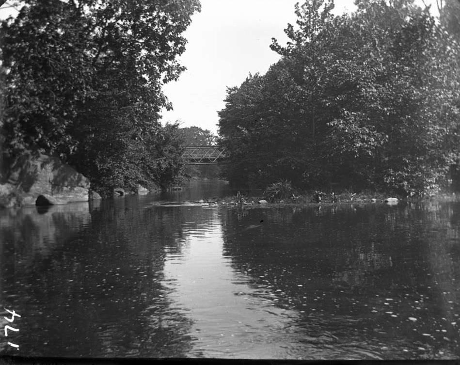
The upper section of the river was defined by the recent creation of Bronx Park in 1888. Here, the river flowed through a dramatic, rocky gorge and tumbled over a waterfall near the old Lorillard Snuff Mill. This stretch was also home to the Hemlock Grove, a stand of ancient, virgin forest that lined the river’s banks. The area was a popular destination for residents seeking a taste of the countryside. People would come for picnics along the shore, and boating on the calmer stretches of the river was a common pastime. The tracks of the New York, New Haven and Hartford Railroad ran alongside the river, offering train passengers scenic views of this rustic landscape.
The Lorillard Snuff Mill, a stone building that had been in operation for decades, was a major landmark. Its water wheel was powered by the river’s current. By the end of the decade, this mill and the surrounding land would be formally incorporated into the grounds of the newly founded New York Botanical Garden, preserving this scenic portion of the river for future generations.
Read more
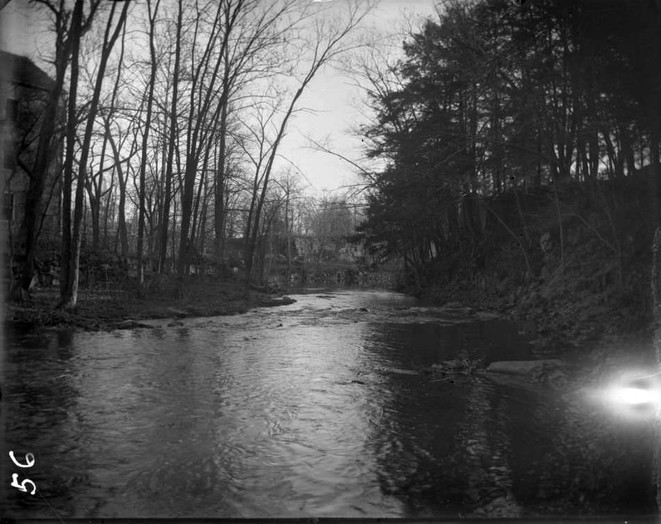
As the Bronx River flowed south into the more populated areas of West Farms, its character changed completely. The riverbanks were crowded with factories and mills that used the river for both power and waste disposal. Print and dye works discharged colorful and toxic chemicals directly into the water. Piano factories, breweries, and other industrial plants dumped their refuse into the current. The river also served as a raw sewer for the growing communities, with sewage pipes emptying directly into its stream.
This southern portion of the river was a working, industrial waterway. Its waters were polluted, and its natural banks were replaced with stone walls and wooden bulkheads. The river here was a tidal estuary, its flow mixing with the salt water of the East River. It was a stark contrast to the clear, fresh water flowing through the forests and meadows just a few miles to the north.
GIPHY App Key not set. Please check settings