

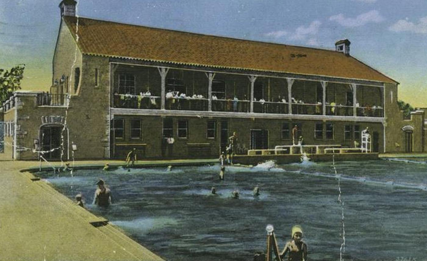
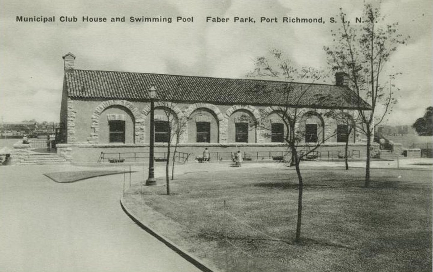
In the first two decades of the twentieth century, Port Richmond was a primary center of commerce and daily life on Staten Island’s North Shore. Positioned along the Kill Van Kull waterway, which separates Staten Island from Bayonne, New Jersey, the neighborhood functioned as a vital hub for shopping, industry, and transportation.
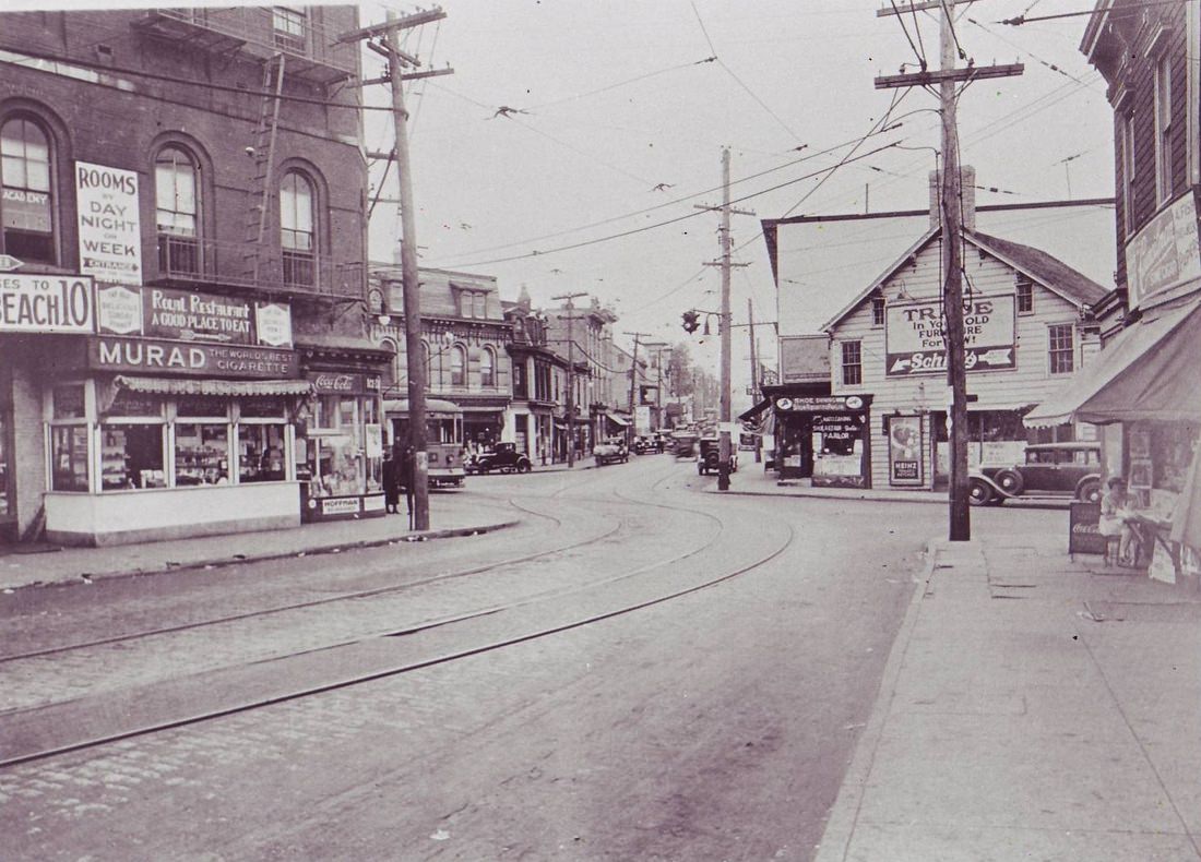
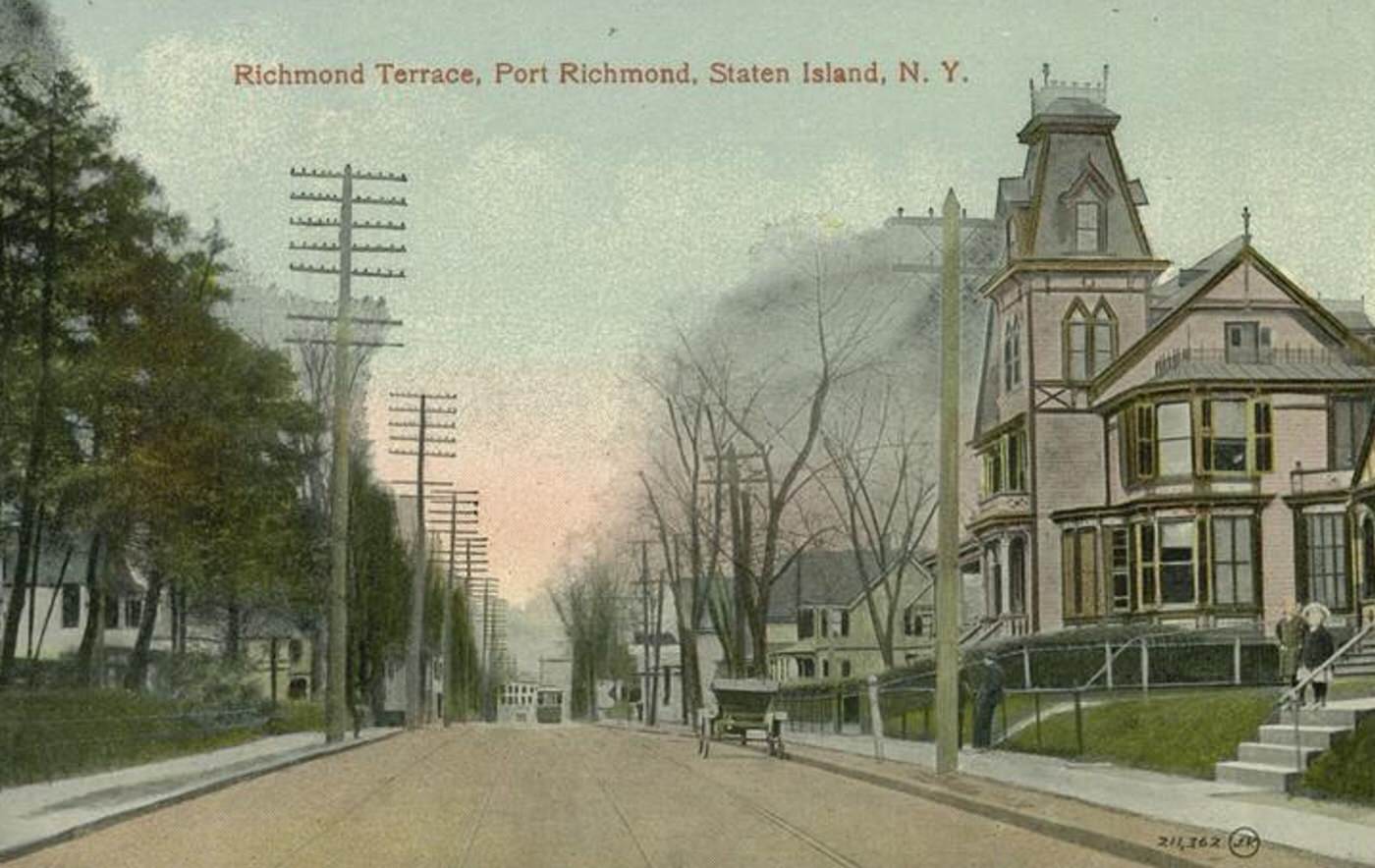
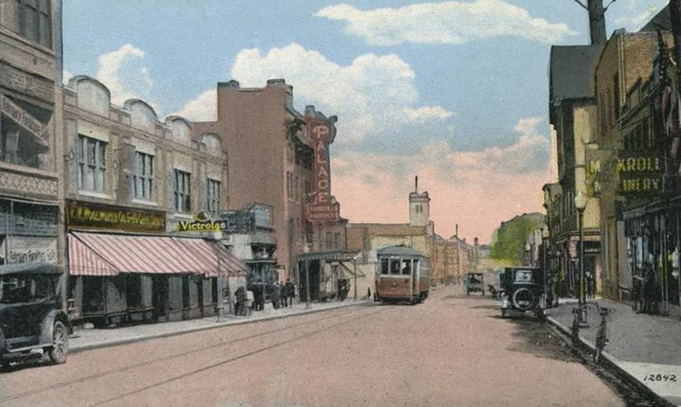
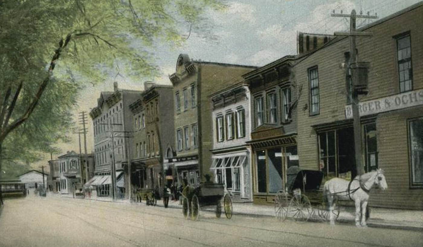
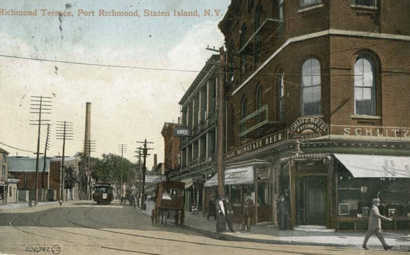
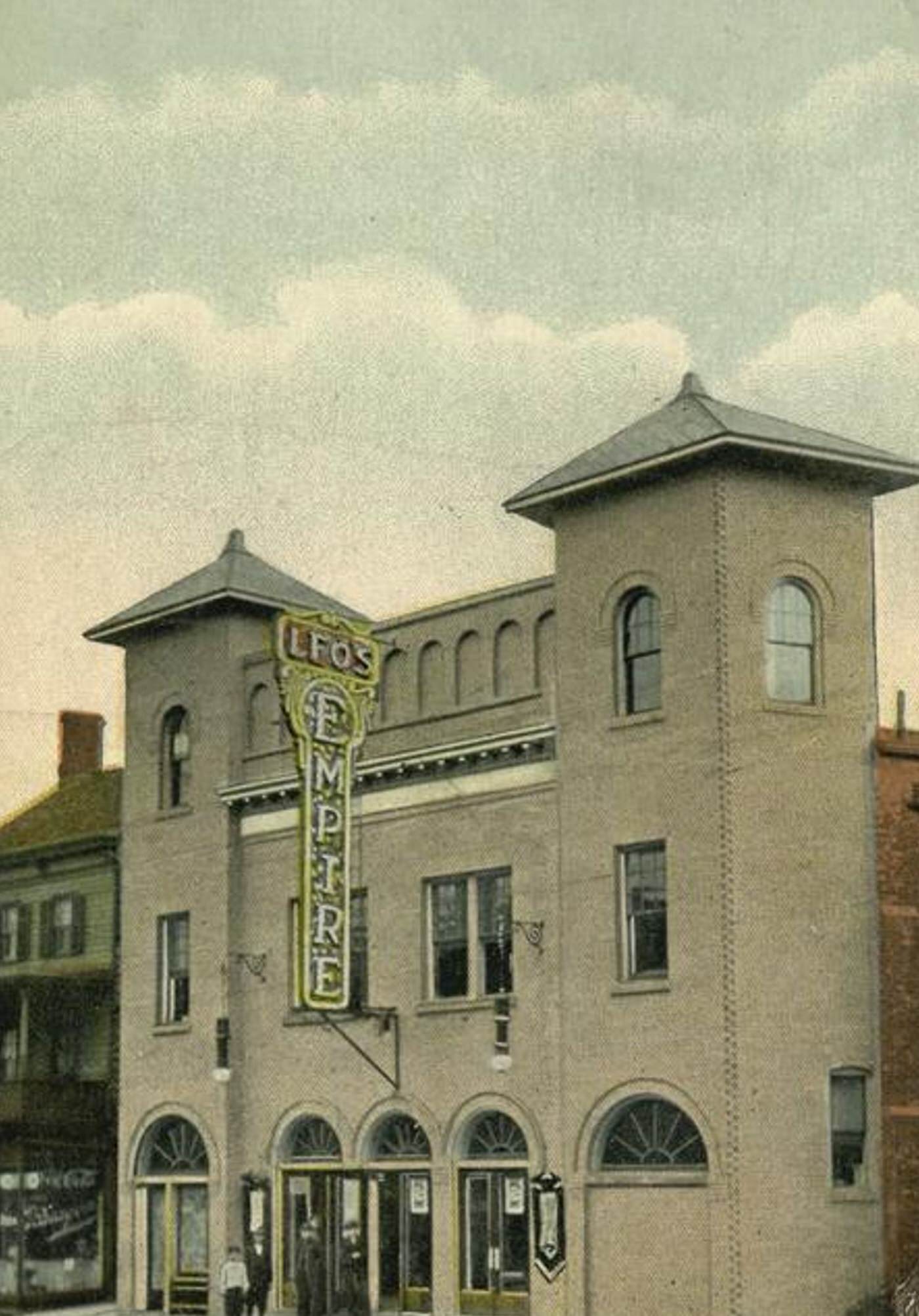
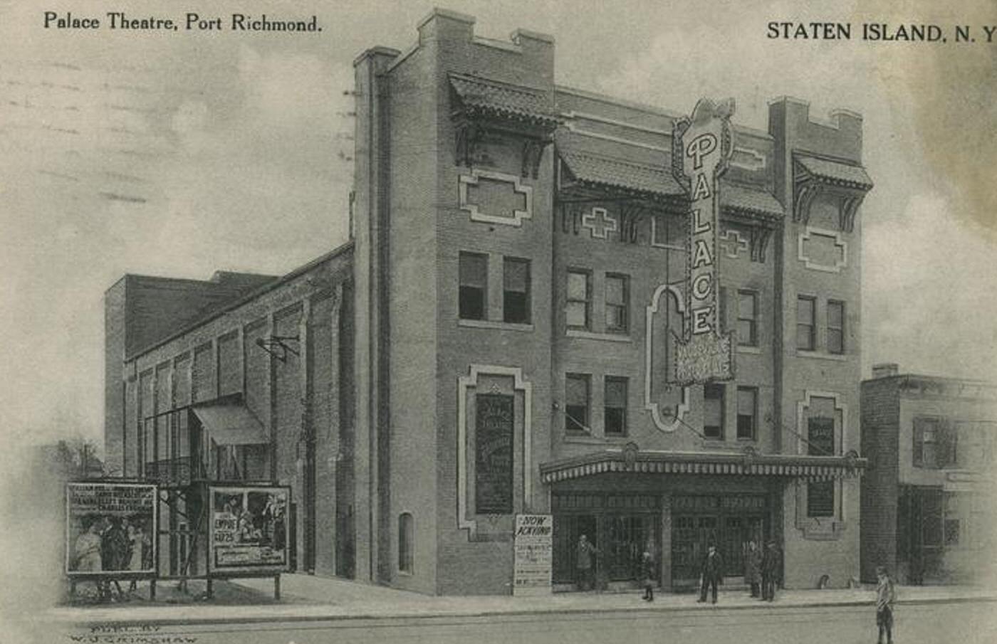
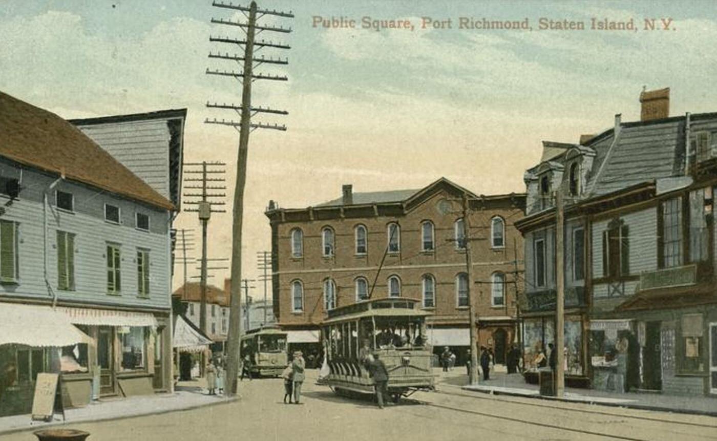
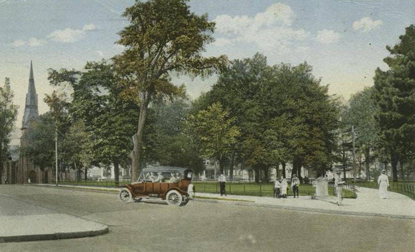
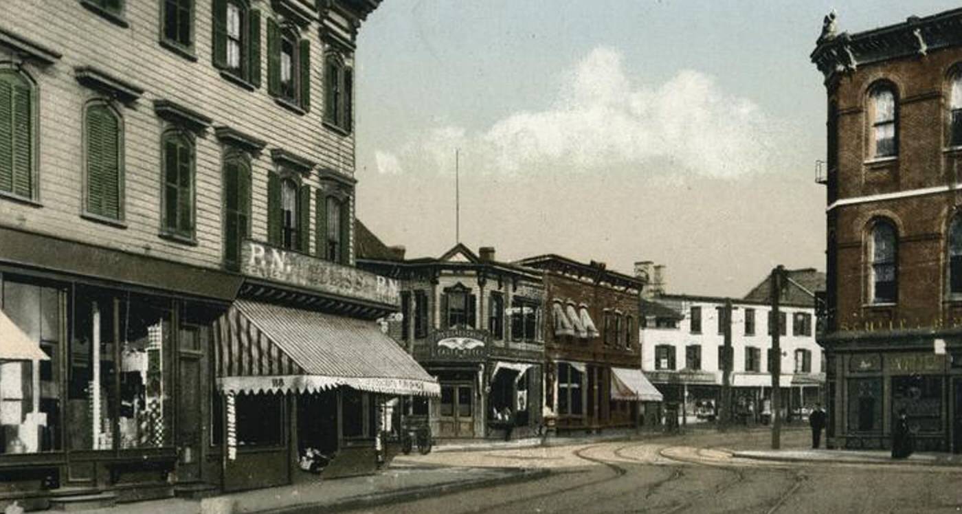
Richmond Terrace was the main artery of Port Richmond. This bustling street served as the area’s primary commercial district. It was lined with a wide variety of businesses catering to residents from across the North Shore. Shoppers found department stores like Tiernan’s, numerous smaller retail shops selling dry goods, groceries, and hardware, along with banks such as the Port Richmond National Bank. Restaurants and saloons provided places for meals and socializing. Entertainment venues, including the Palace Theatre, offered motion pictures and live performances. The street pulsed with activity from morning until evening.
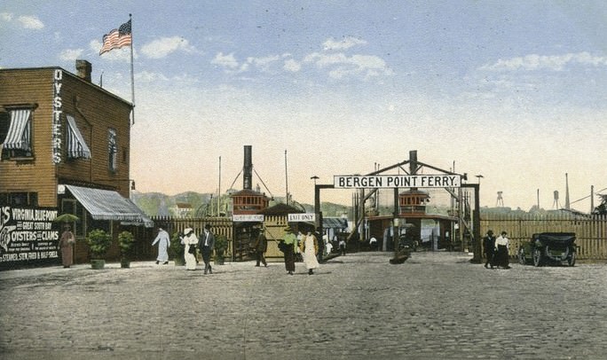
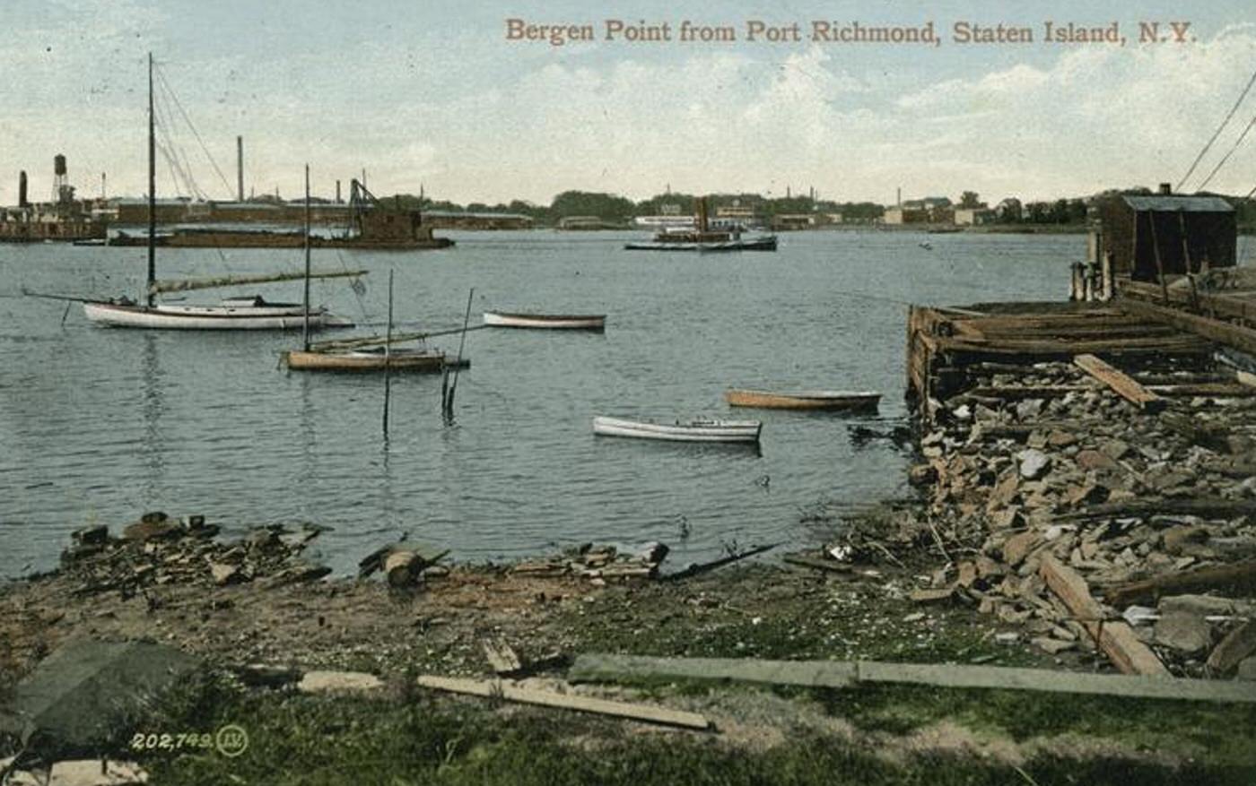
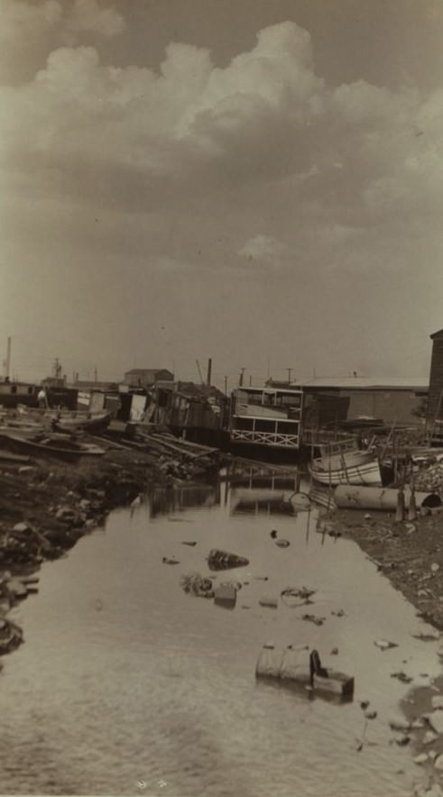
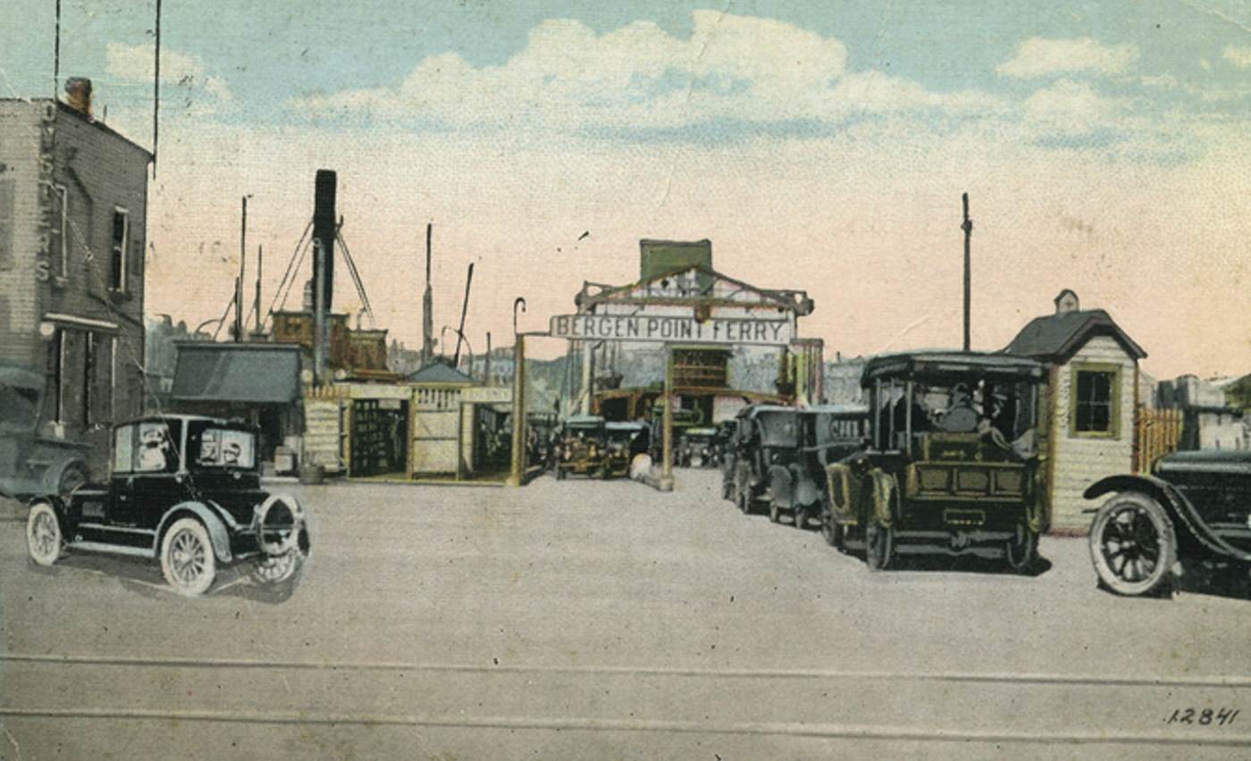
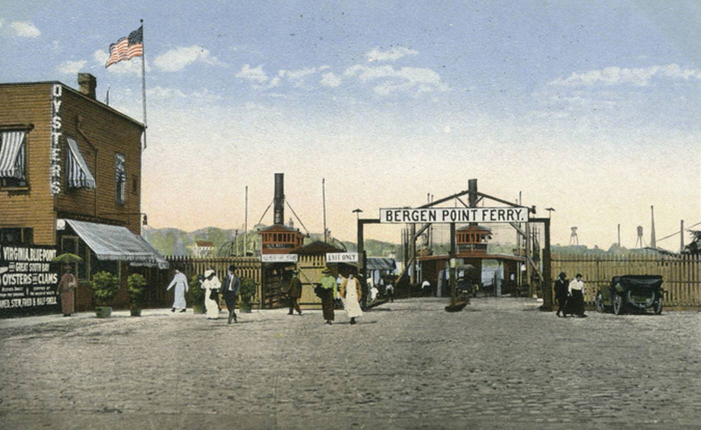
The waterfront along the Kill Van Kull defined Port Richmond’s industrial character. Shipbuilding and repair yards were significant employers in the area; Downey Shipbuilding Corporation operated a large facility there, especially active during World War I. Docks handled cargo, lumber yards stored building materials, and coal depots supplied fuel. Factories related to maritime activities and other industries provided steady work for many local residents. Ferry boats regularly crossed the Kill Van Kull, connecting Port Richmond directly with Bayonne, New Jersey, facilitating the movement of workers and goods.
Read more
Transportation within Staten Island heavily relied on electric trolley cars. Trolley lines ran frequently along Richmond Terrace, linking Port Richmond eastward to the ferry terminal at St. George and westward to other island communities. This network made it convenient for people to travel for work, shop, or visit. The Staten Island Railway also maintained a station near the neighborhood, offering another connection to different parts of the island.
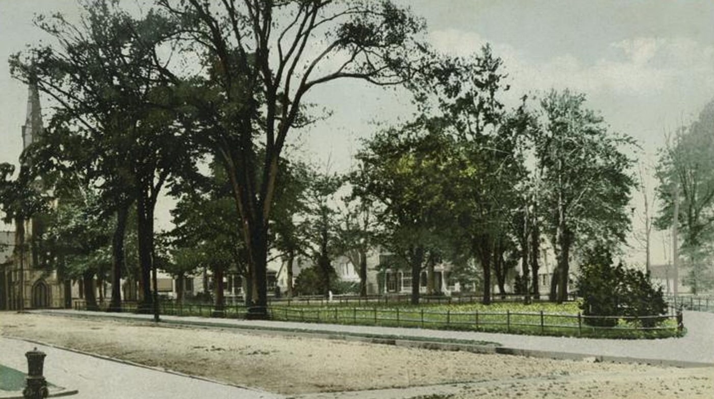
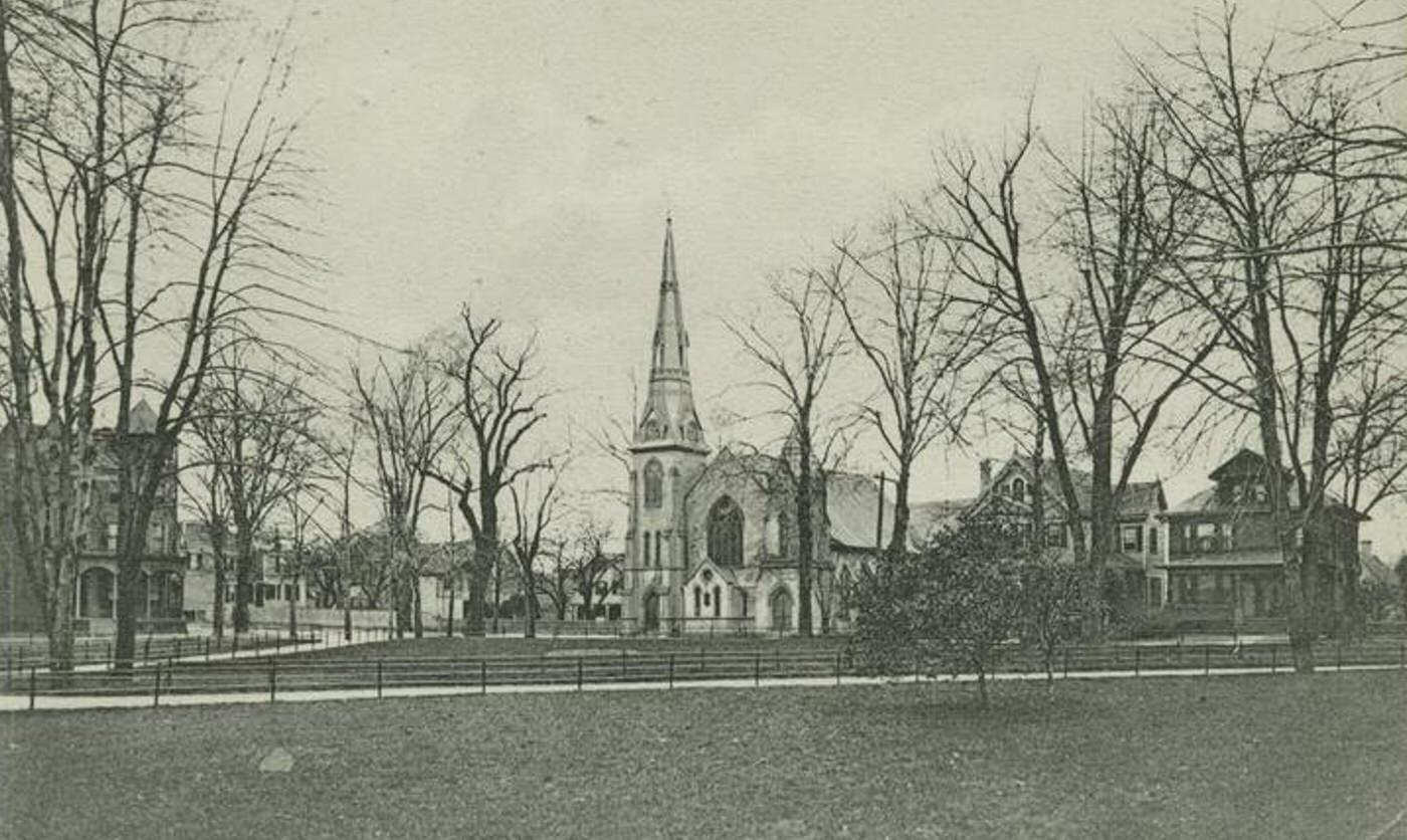
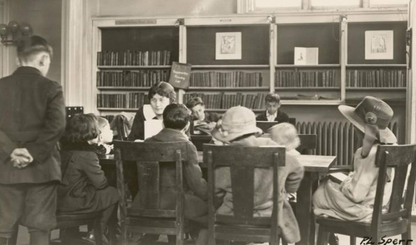
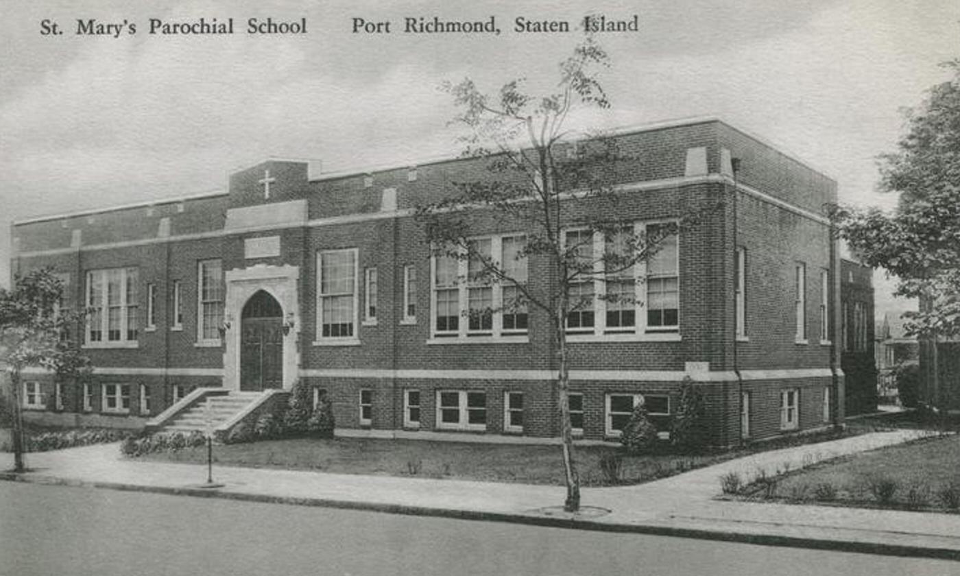
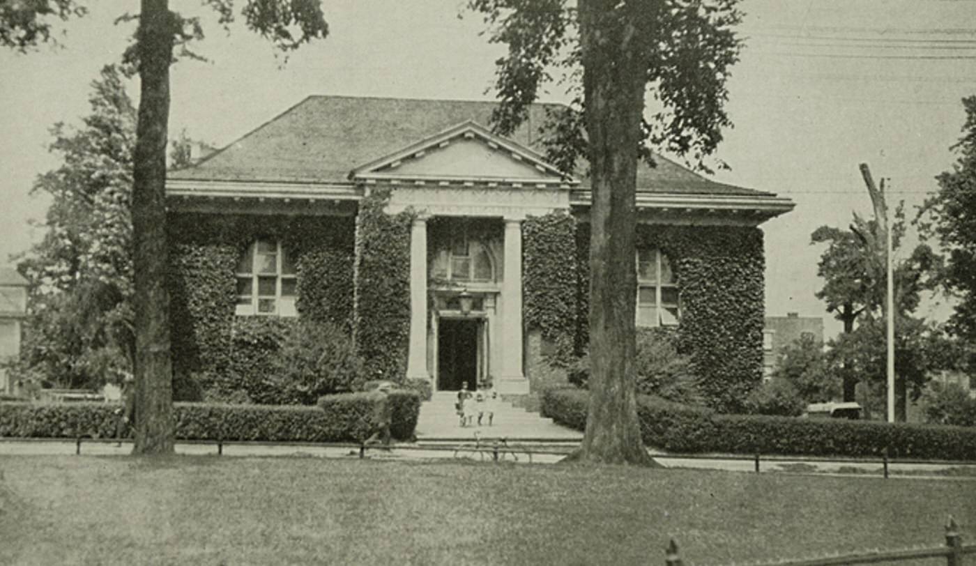
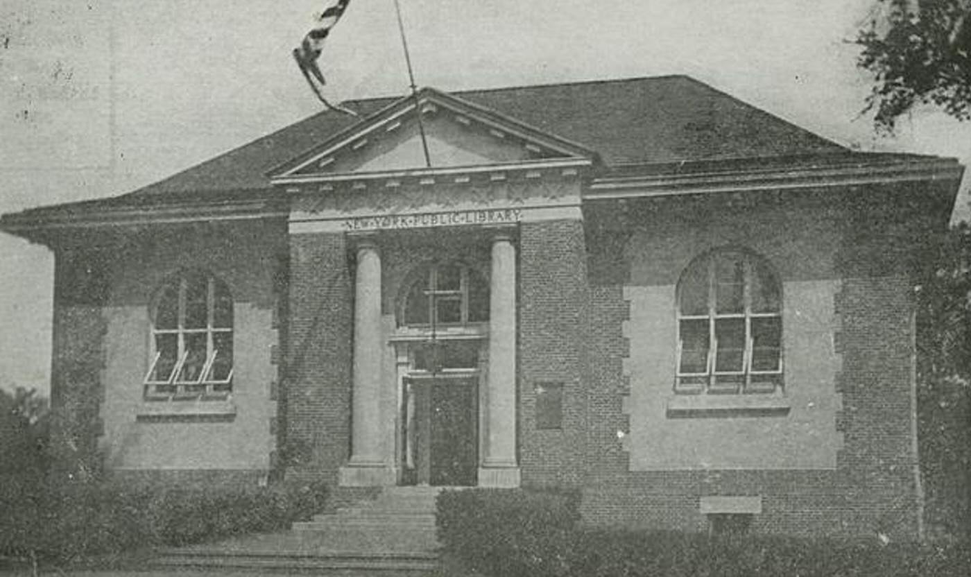
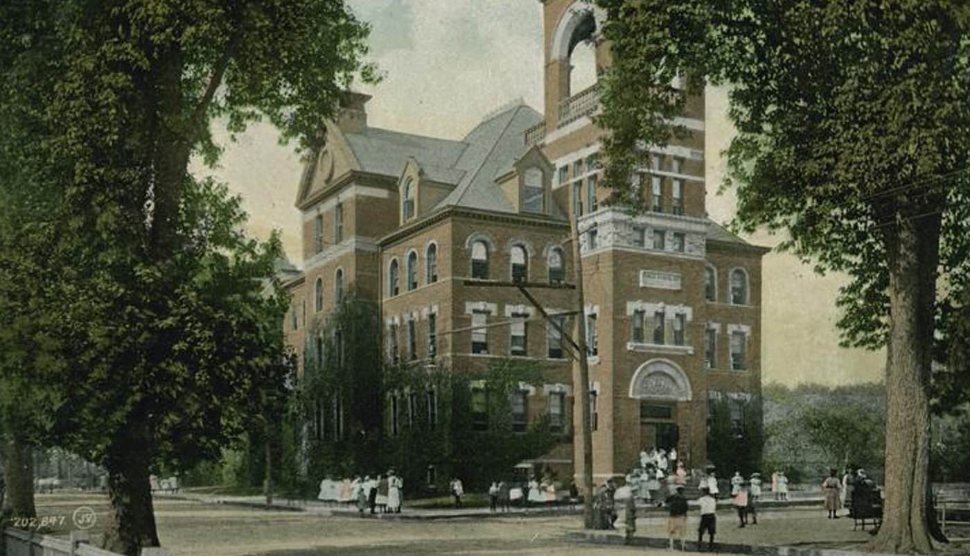
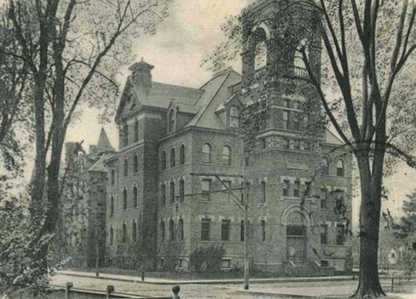
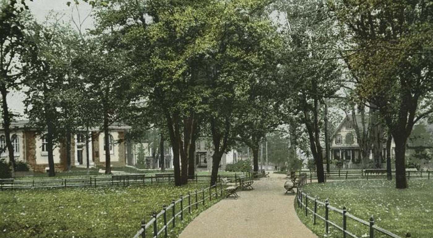
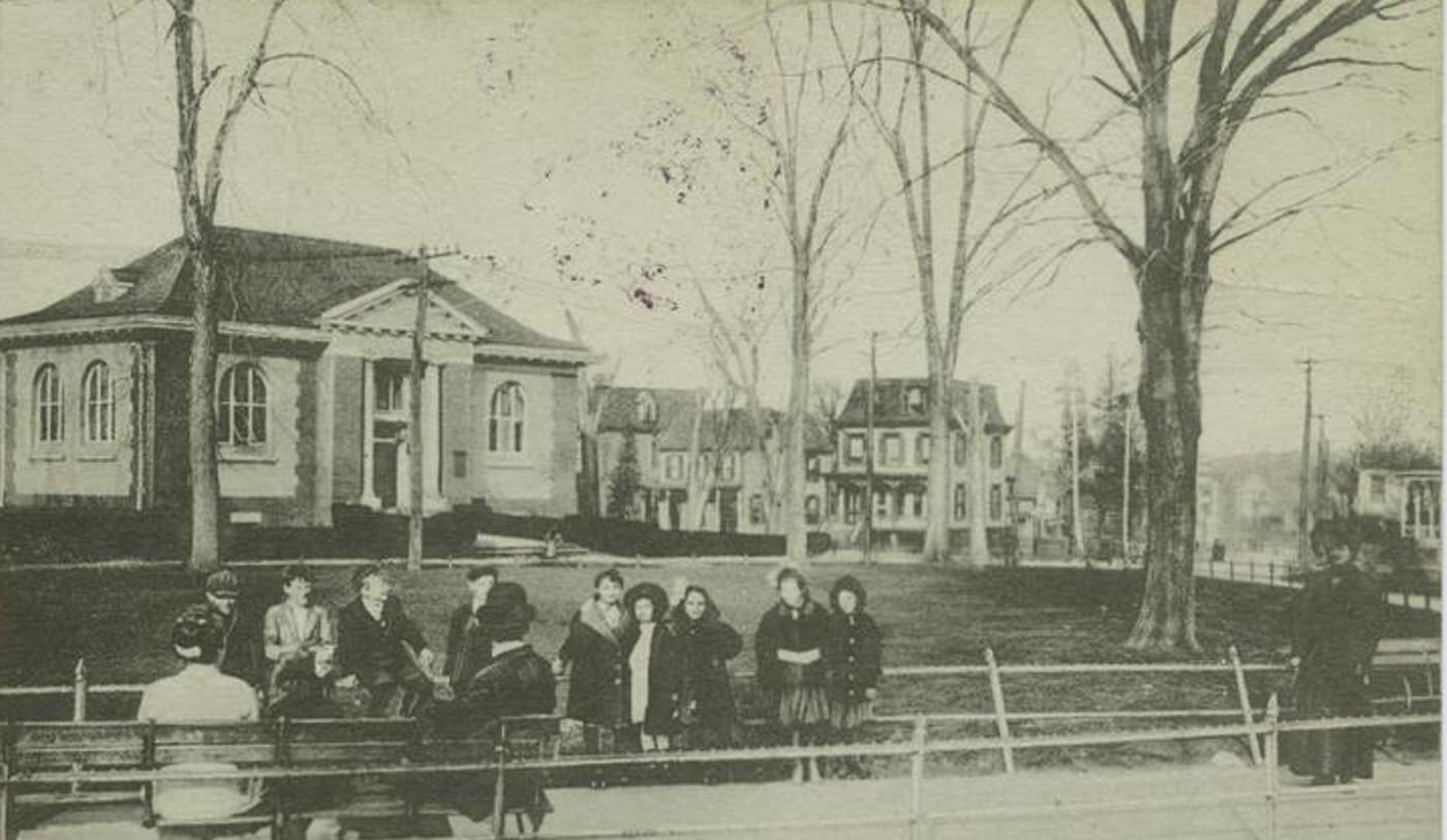
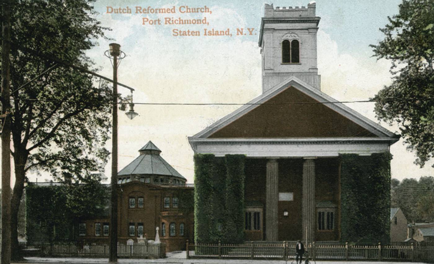
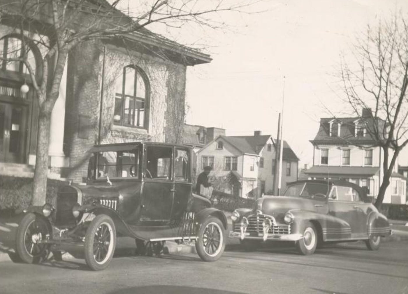
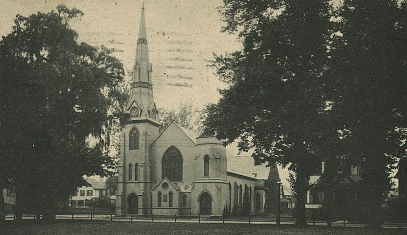
Residential streets extended inland from the busy waterfront and Richmond Terrace. These blocks featured a mix of housing types common in that era, including freestanding Victorian-era homes, attached row houses, and buildings containing multiple family apartments. Port Richmond was home to a diverse population. Significant immigrant communities, including Irish, German, Italian, and Polish families, settled there, drawn by jobs in local industries. Churches were important community centers, reflecting this diversity; St. Adalbert’s Roman Catholic Church served the Polish community, while the historic Reformed Church on Staten Island stood prominently on Richmond Terrace. Local public schools educated the neighborhood’s children.
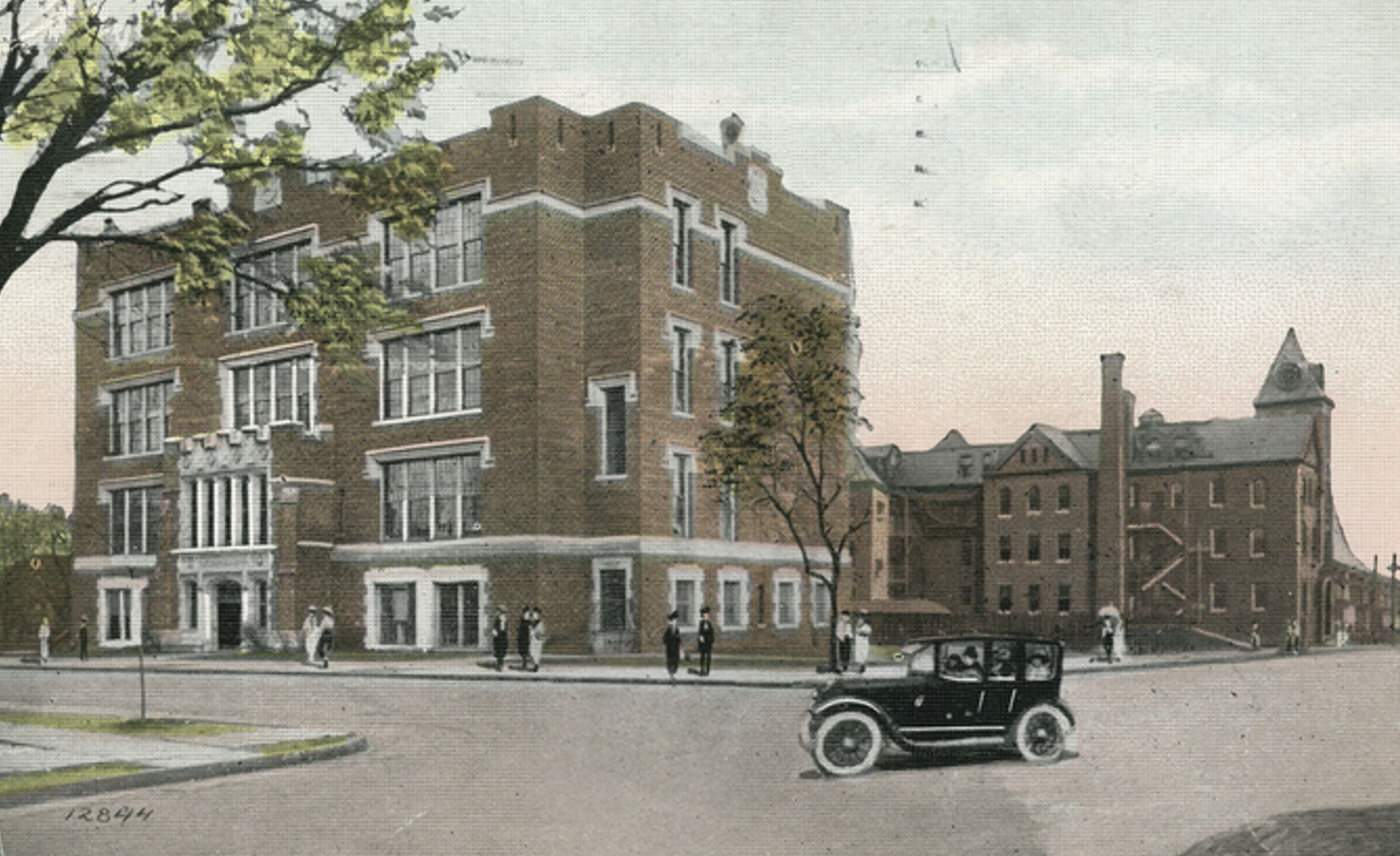
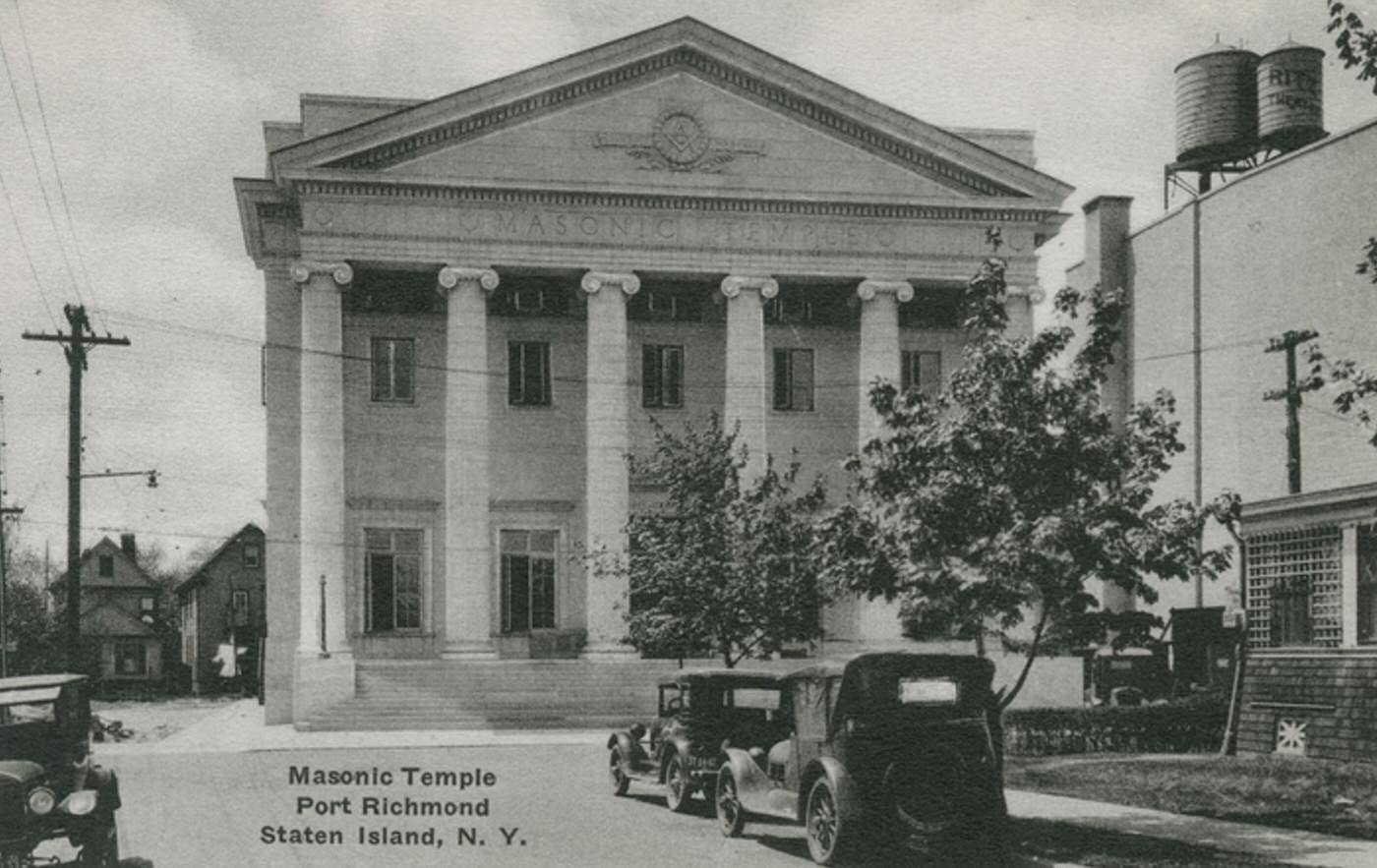
The neighborhood possessed the necessary infrastructure of an established town center. Firehouses provided fire protection services, and a police precinct maintained local order. Port Richmond functioned as a self-contained community where residents could work, shop, and live.

GIPHY App Key not set. Please check settings