

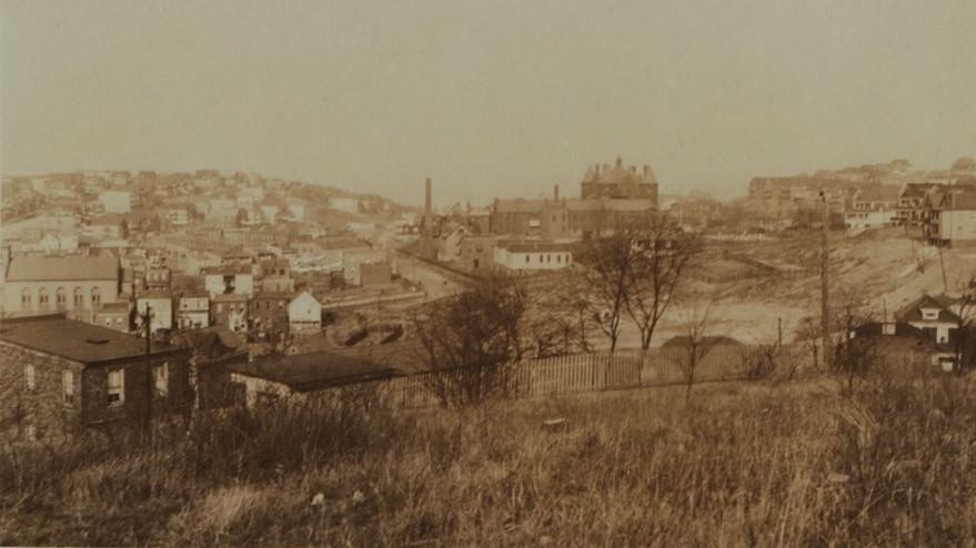
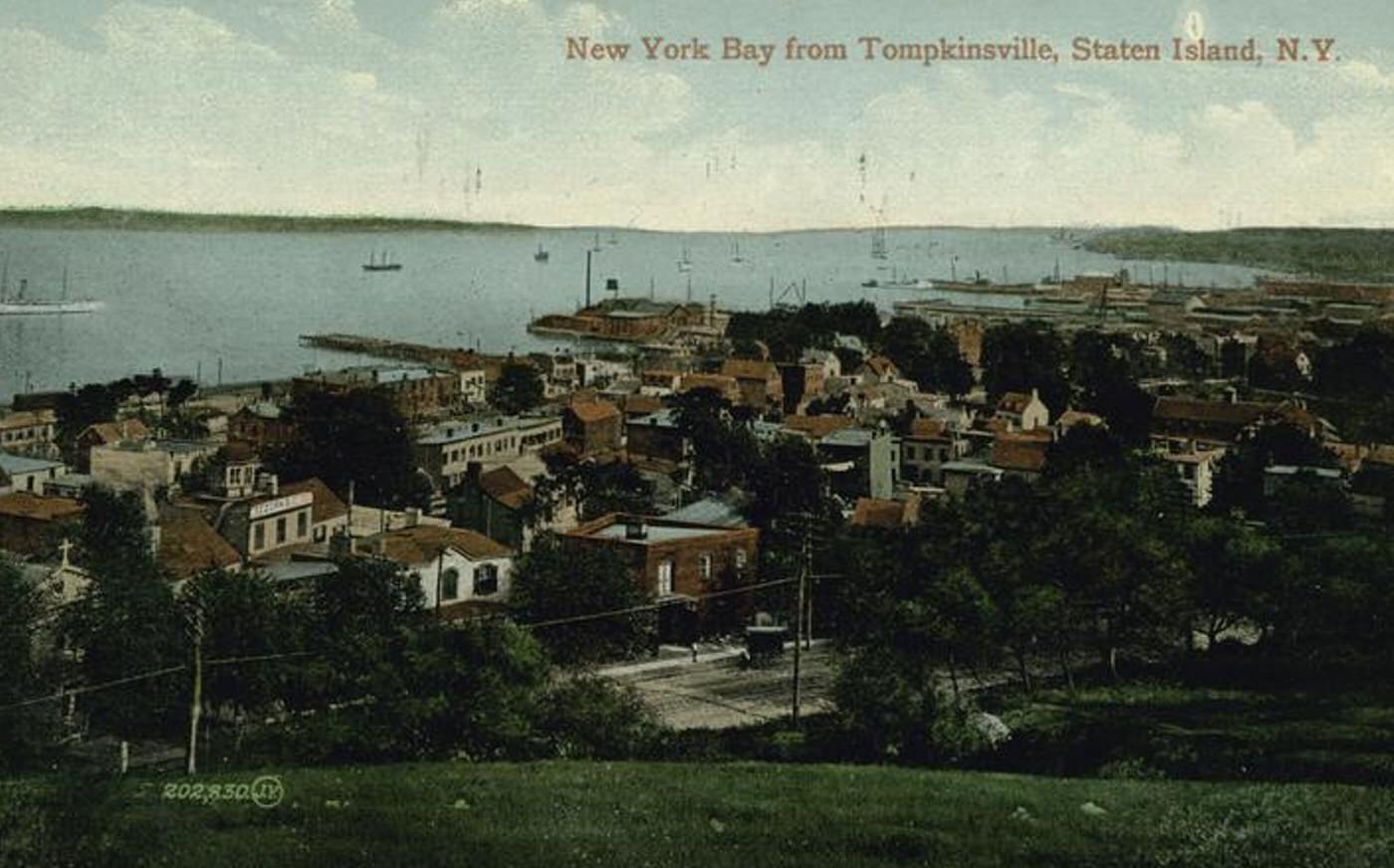
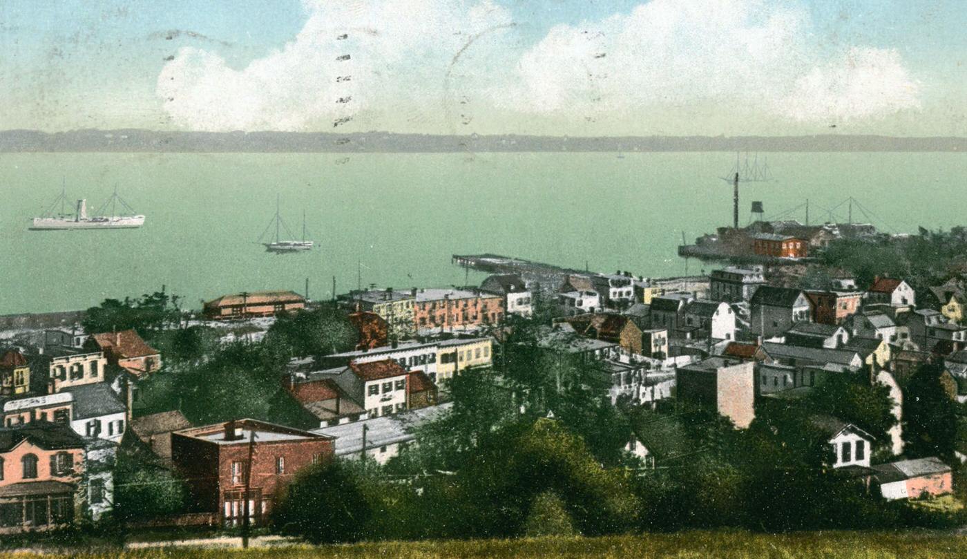
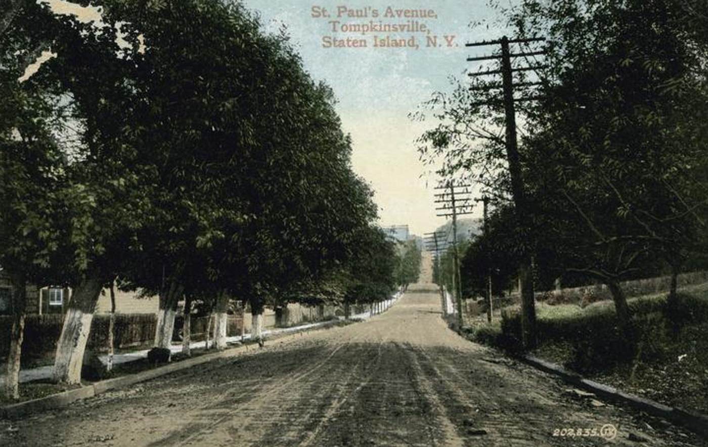
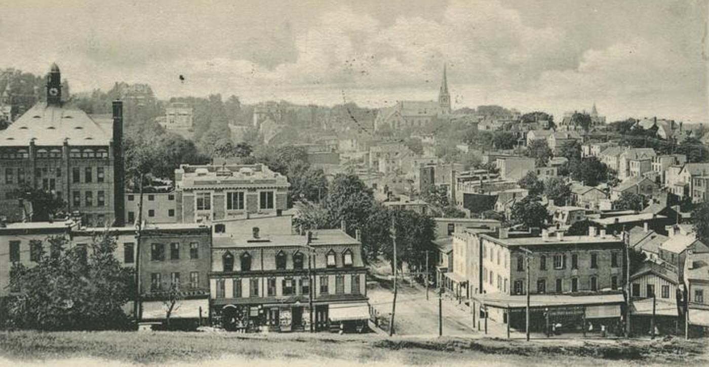
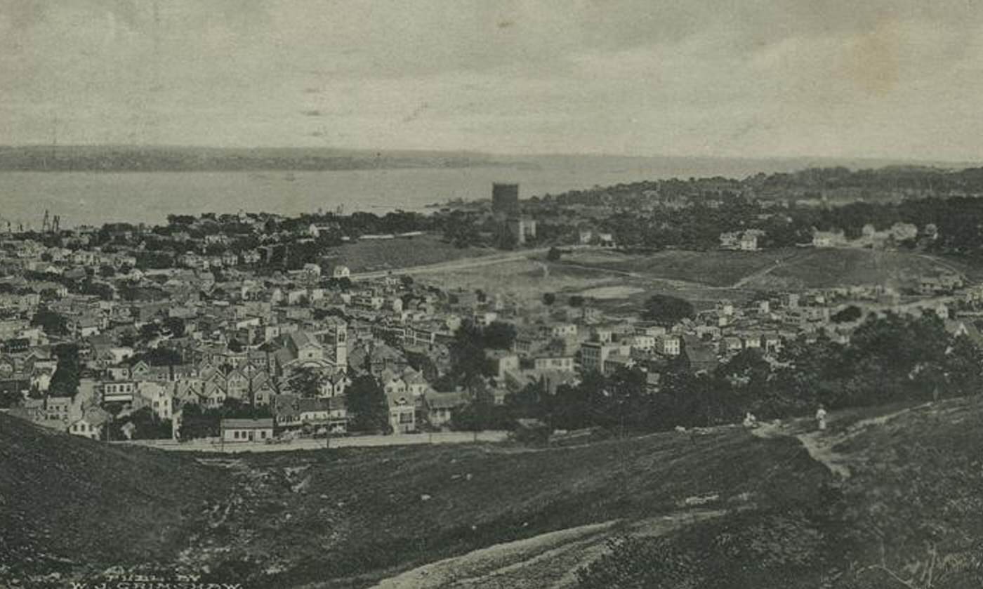
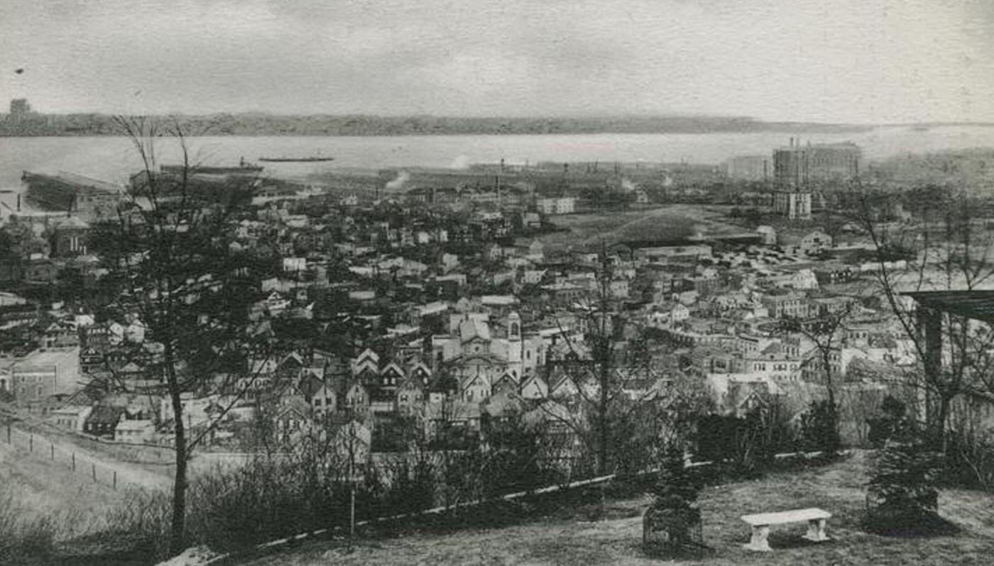
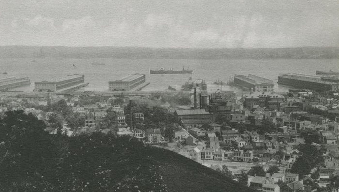
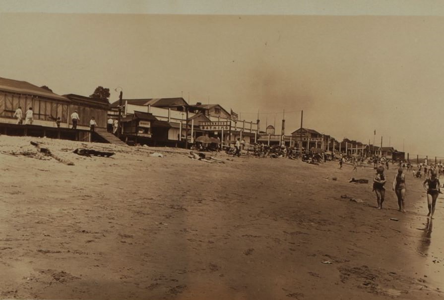
In the early 20th Century, the North Shore of Staten Island stood as the island’s most developed, populated, and economically active region. Stretching along the Kill Van Kull waterway and the Upper New York Bay from St. George westward to Mariners Harbor and inland, this area was already a network of established towns, busy commercial streets, and significant industrial zones, contrasting sharply with the rural character of the island’s other shores.
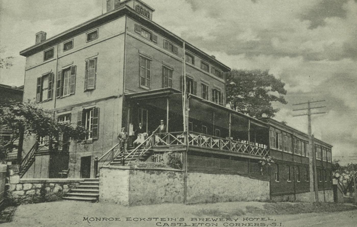
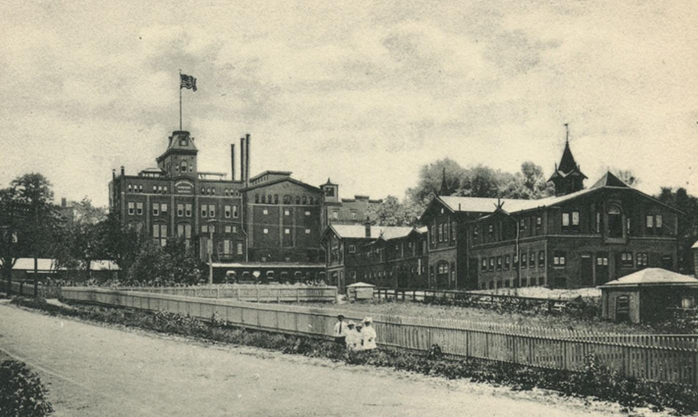
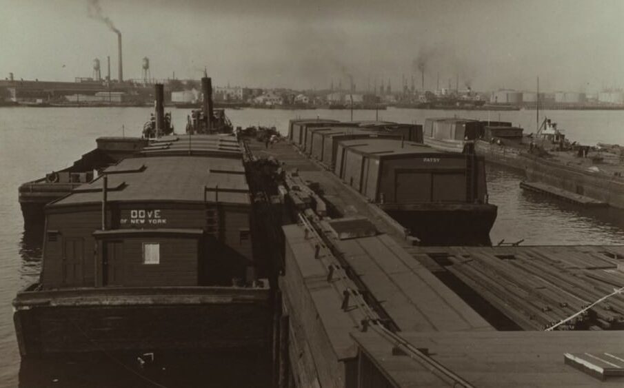
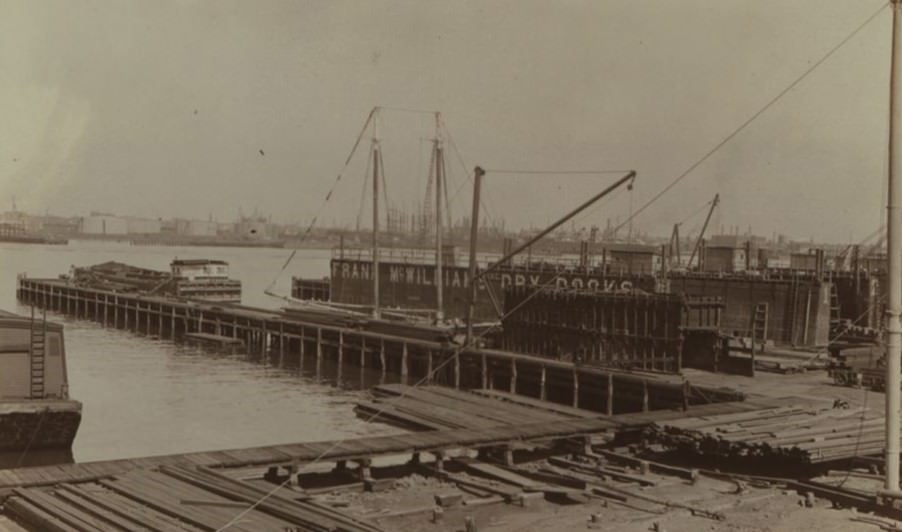
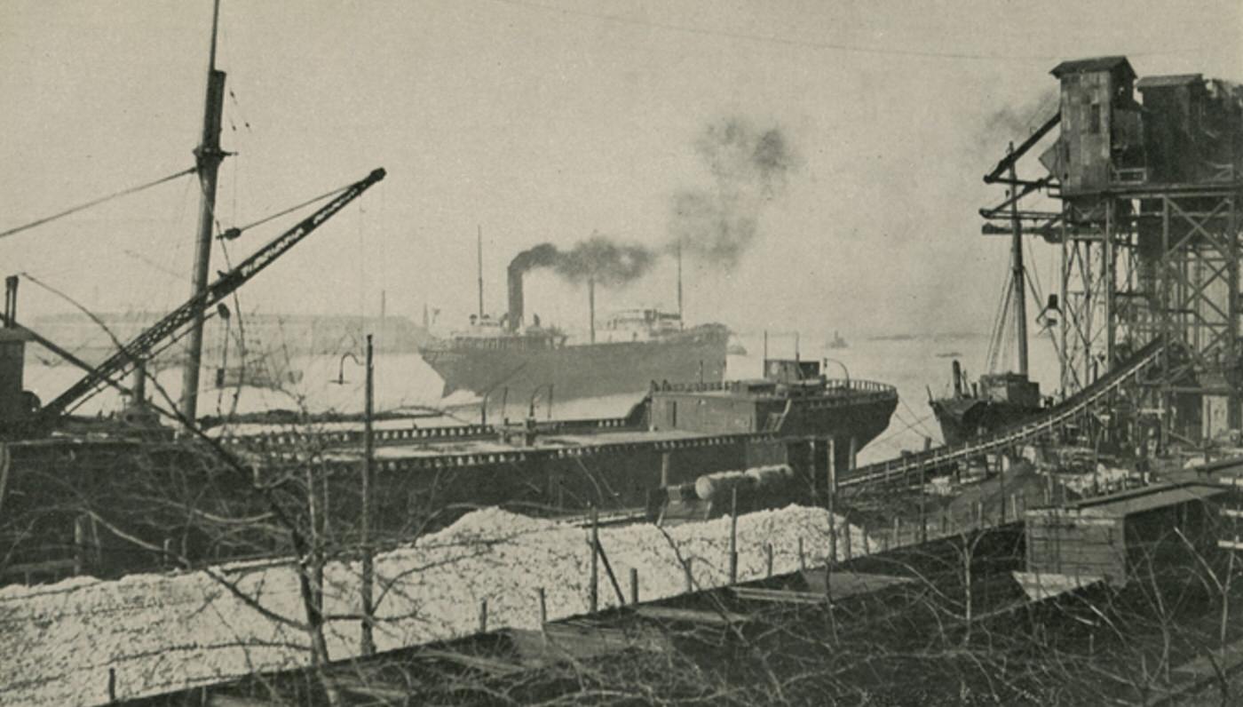
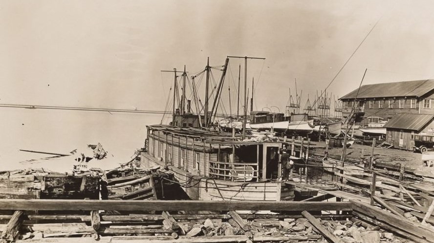
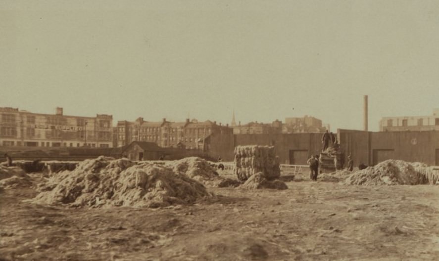
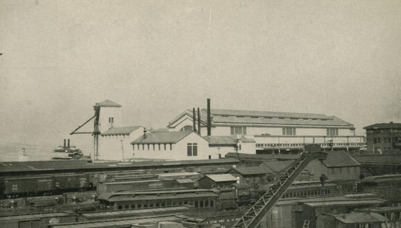
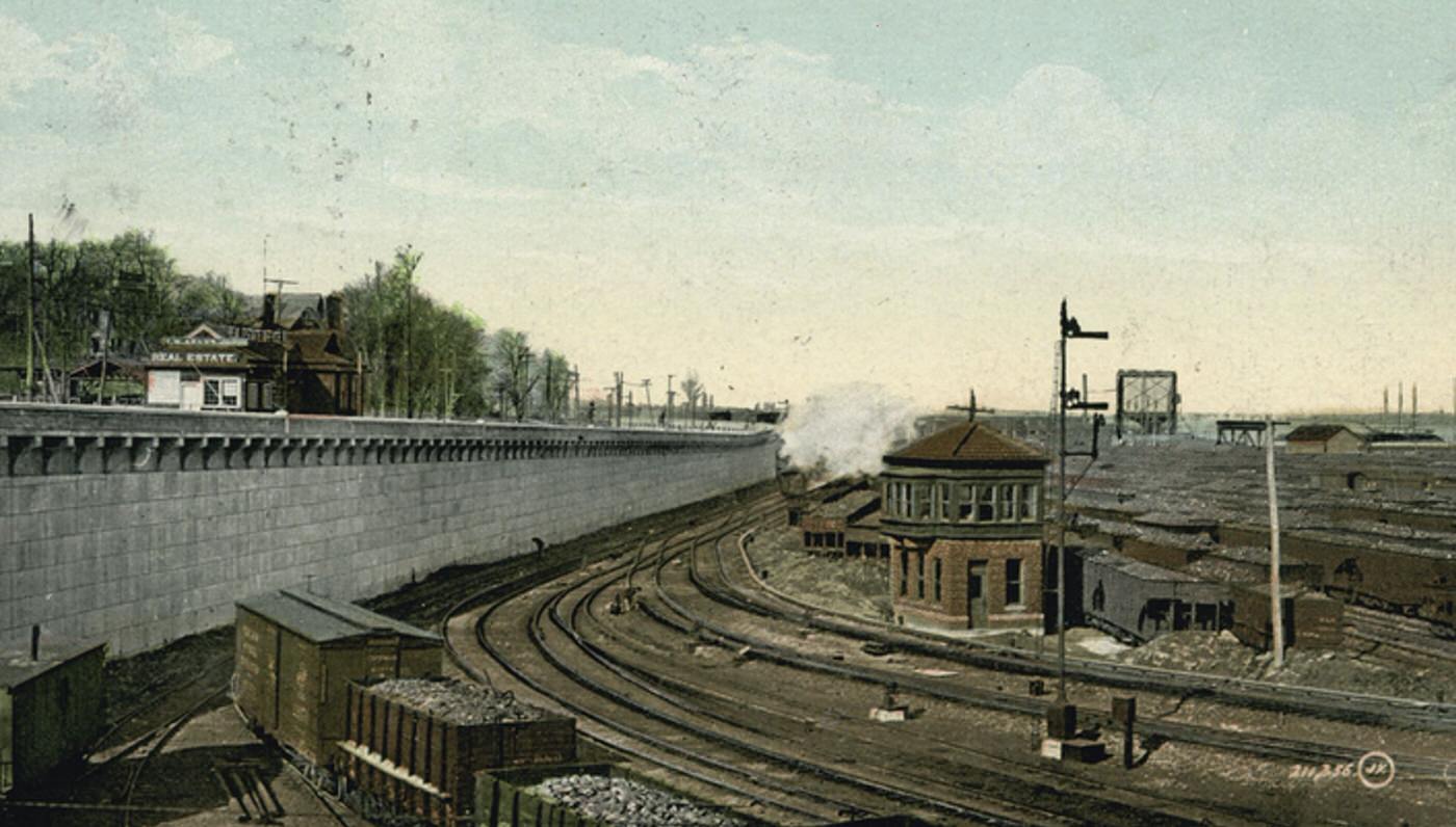
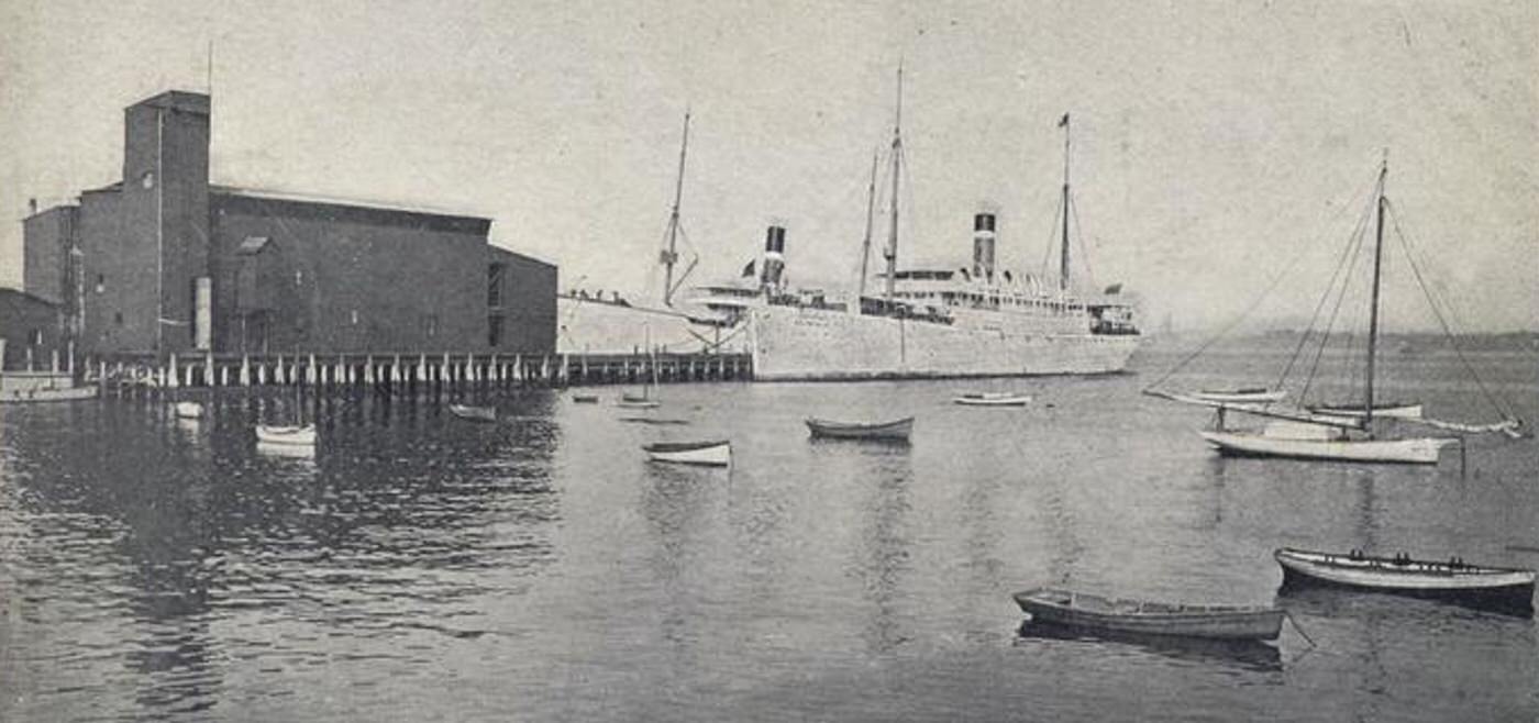
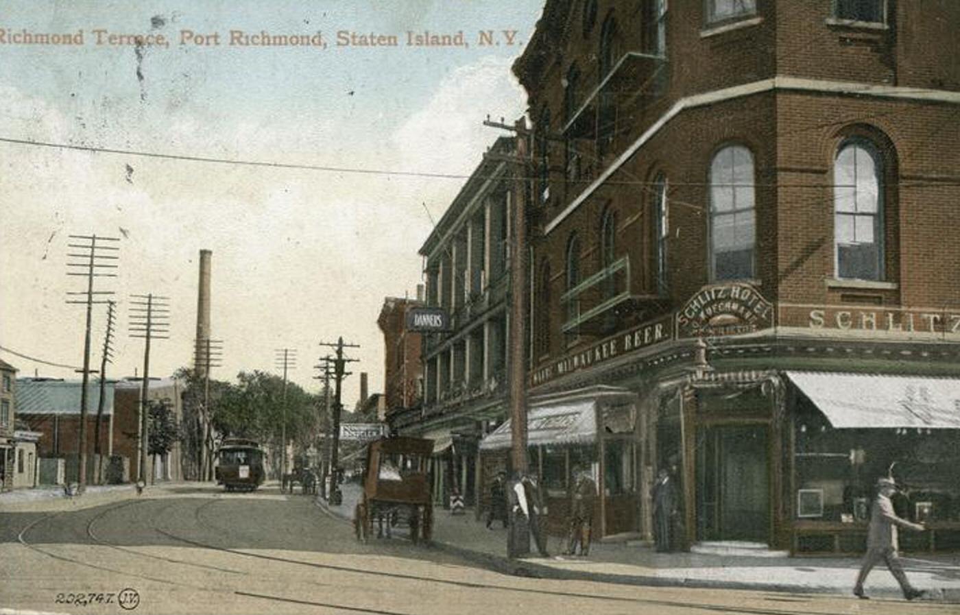
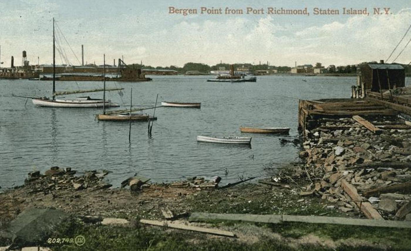
The shoreline facing the Kill Van Kull was a major industrial powerhouse. Factories, shipyards, dry docks, and fuel depots lined the waterfront from New Brighton through Port Richmond to Mariners Harbor. Large operations like the Procter & Gamble plant in Port Ivory employed many residents. Breweries were prominent in Stapleton and Clifton, while dye works operated in West Brighton. This intense industrial activity provided thousands of jobs and defined the character of the waterfront communities.
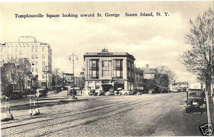
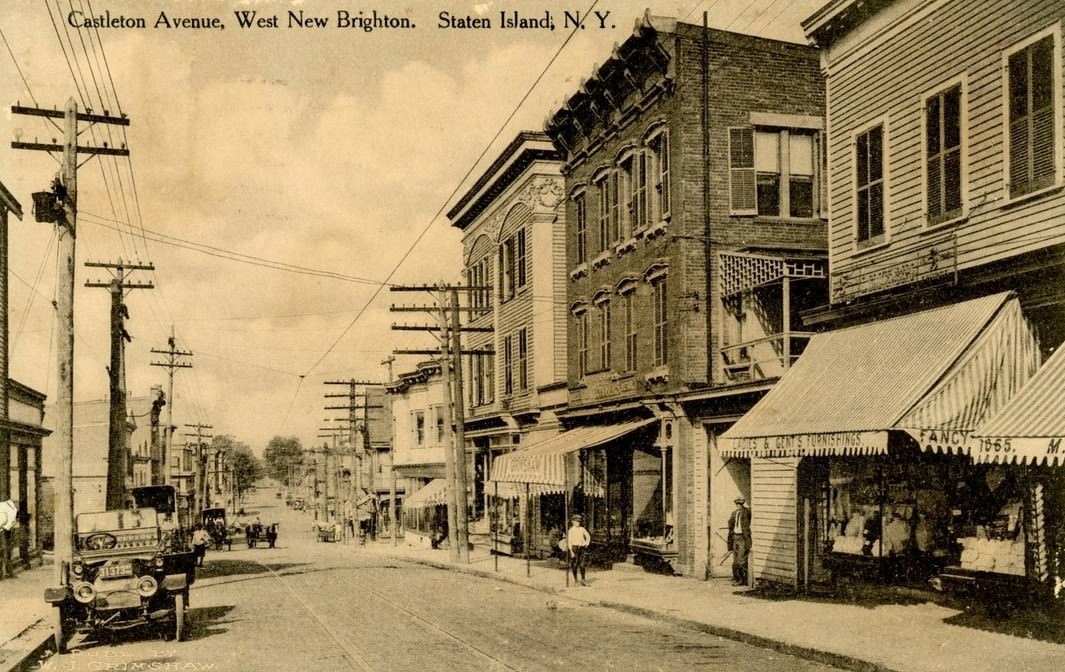
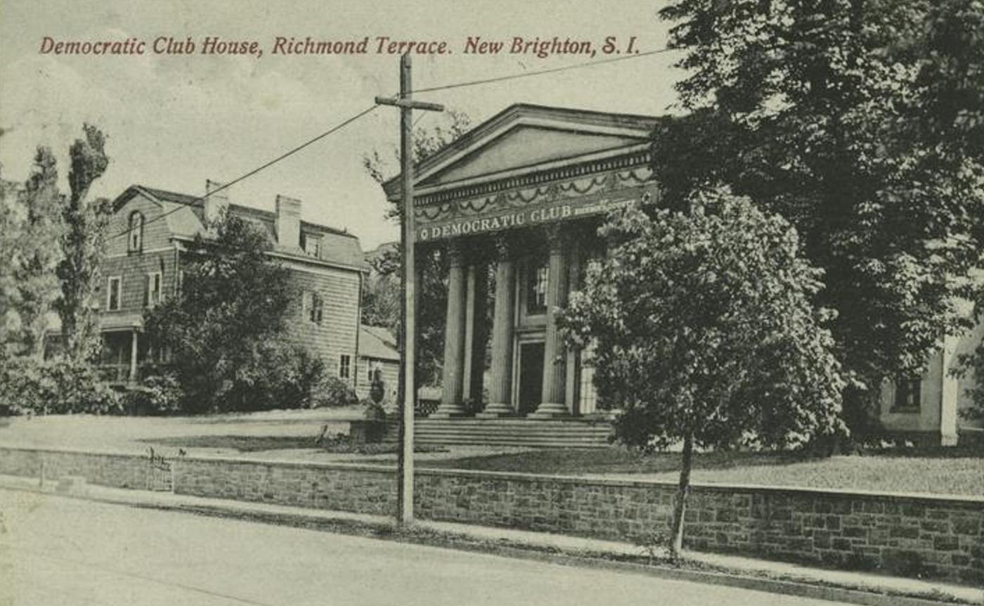
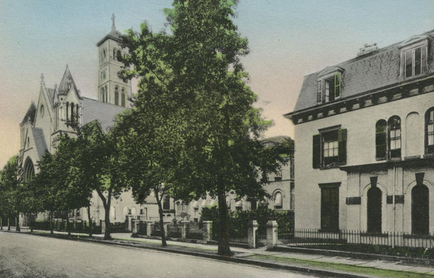
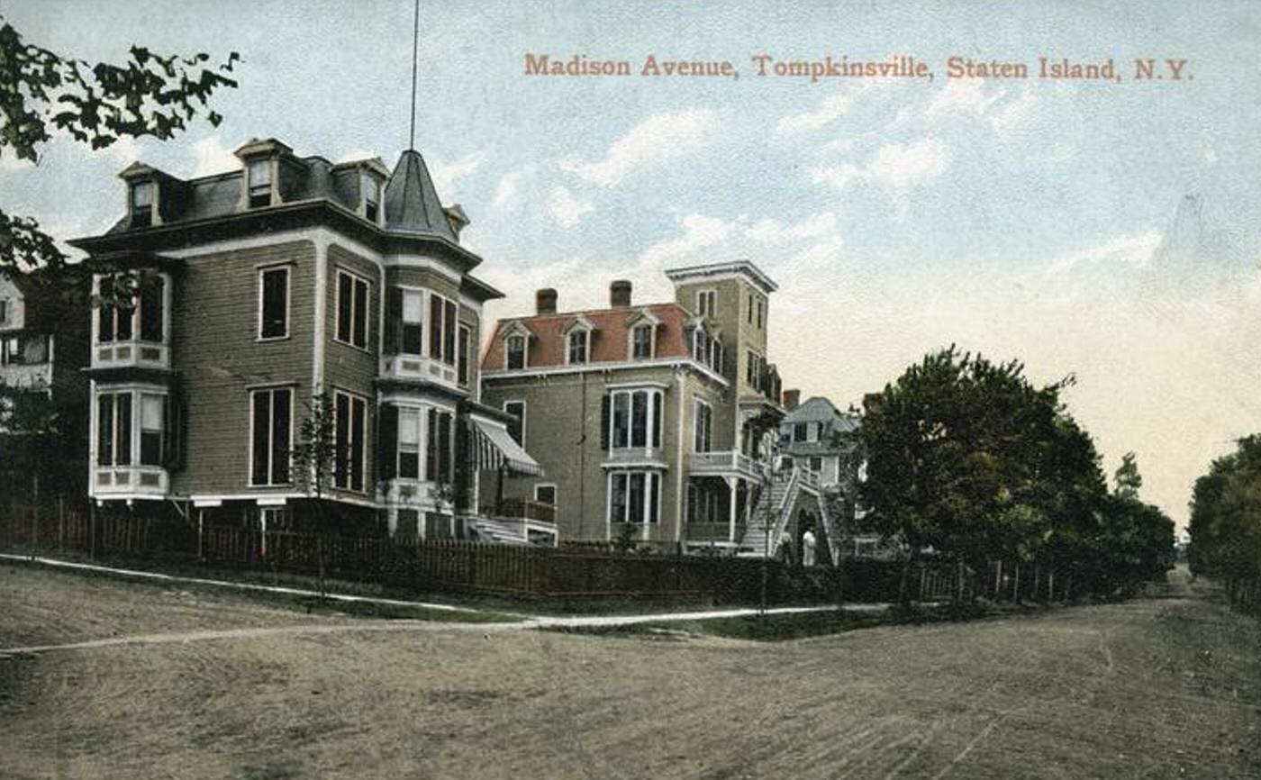
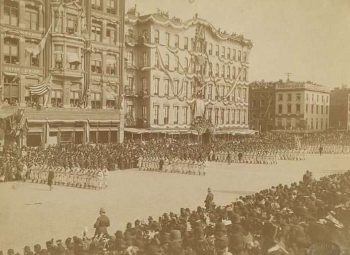
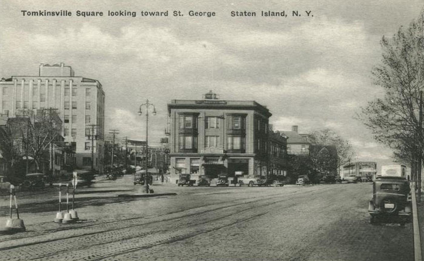
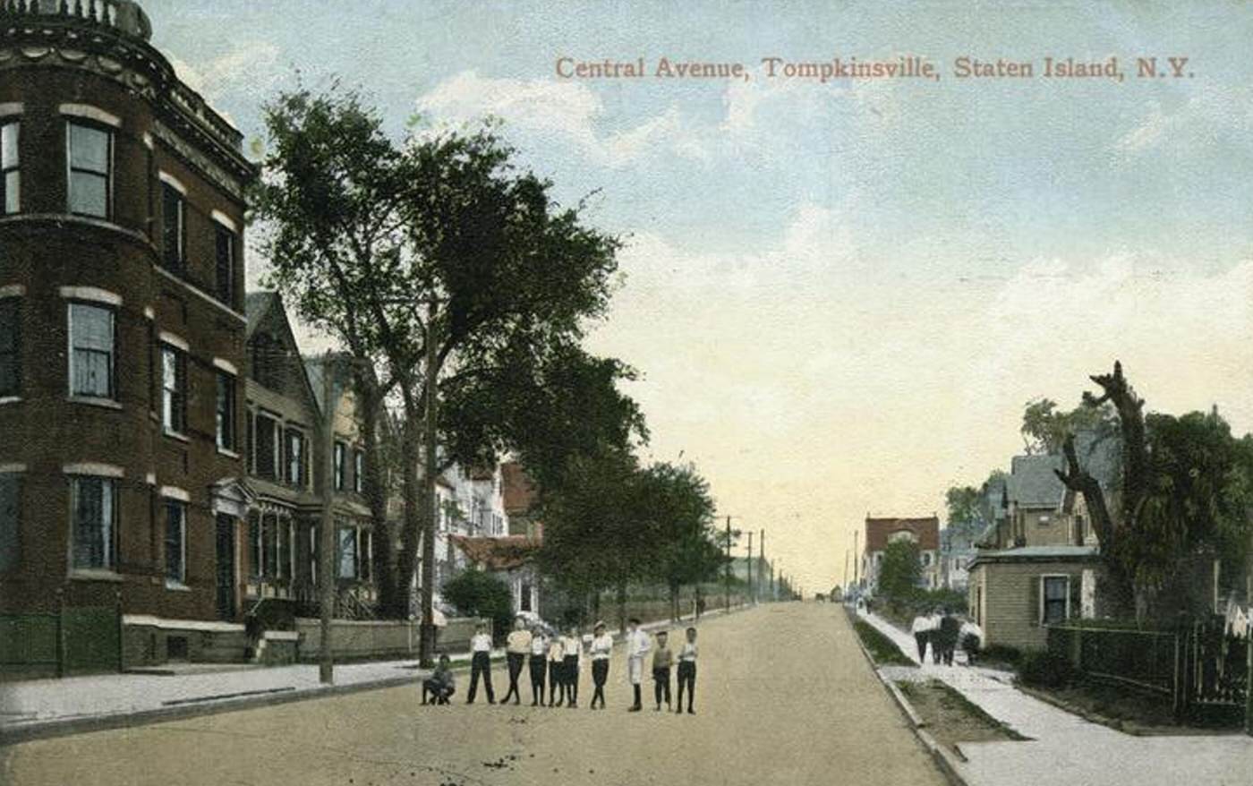
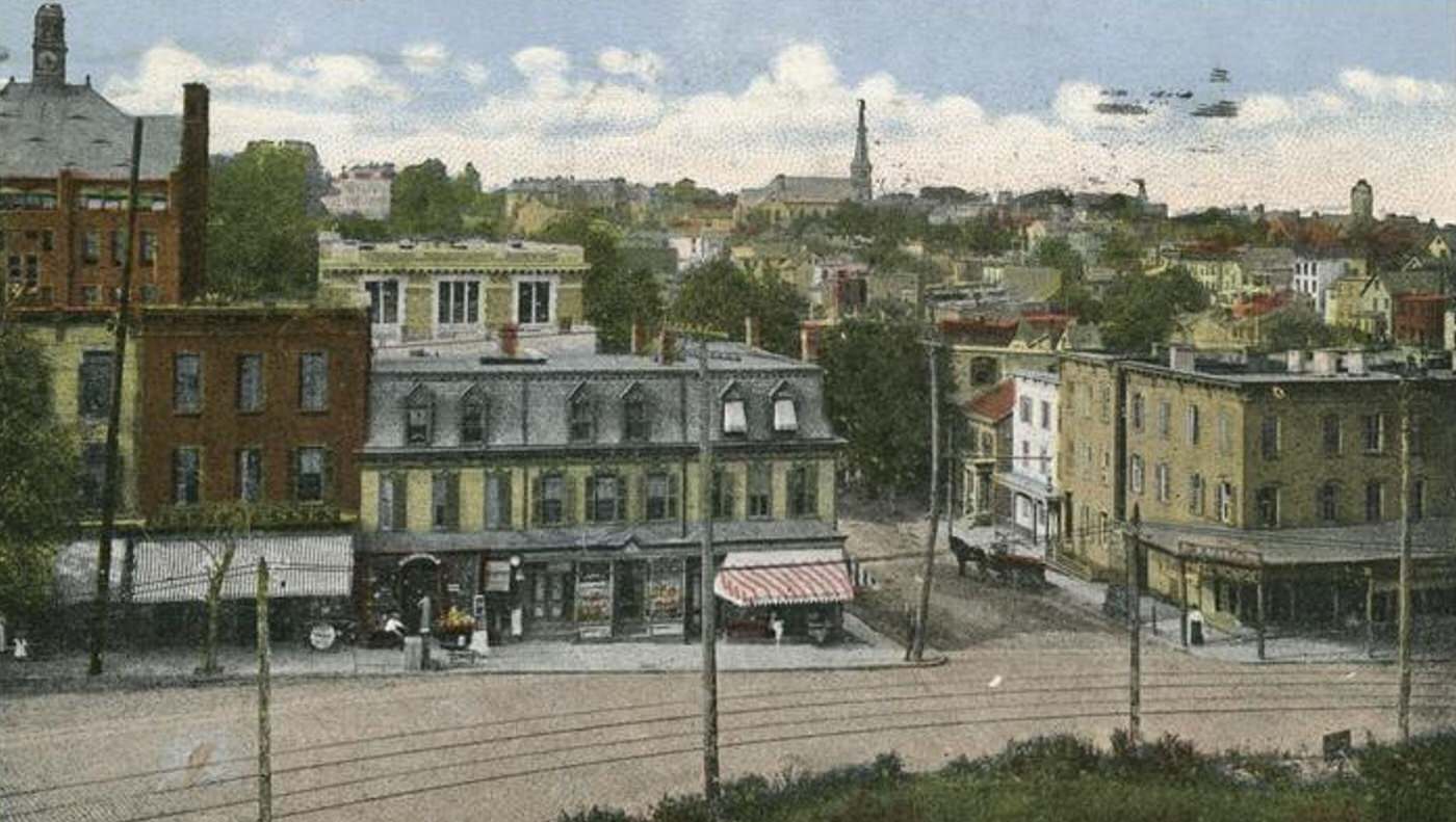
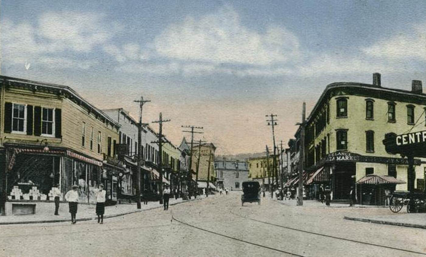
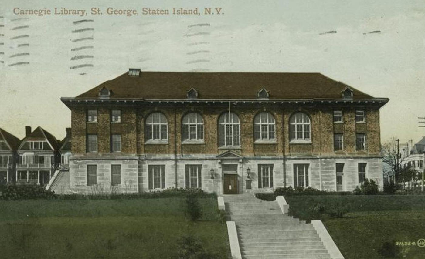
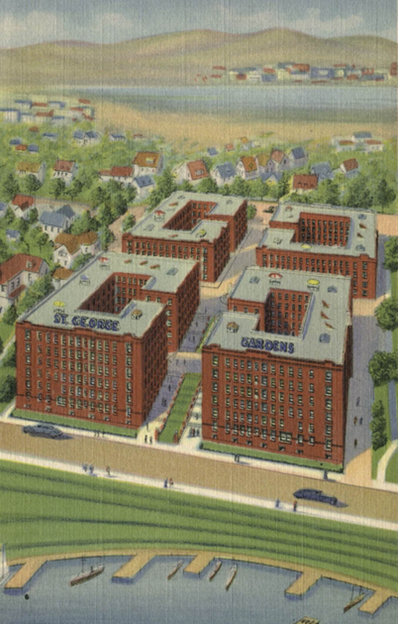
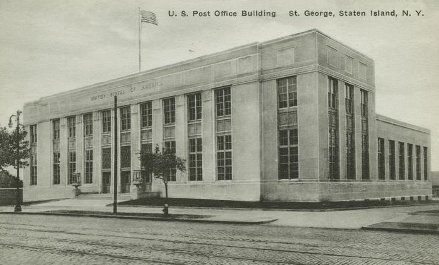
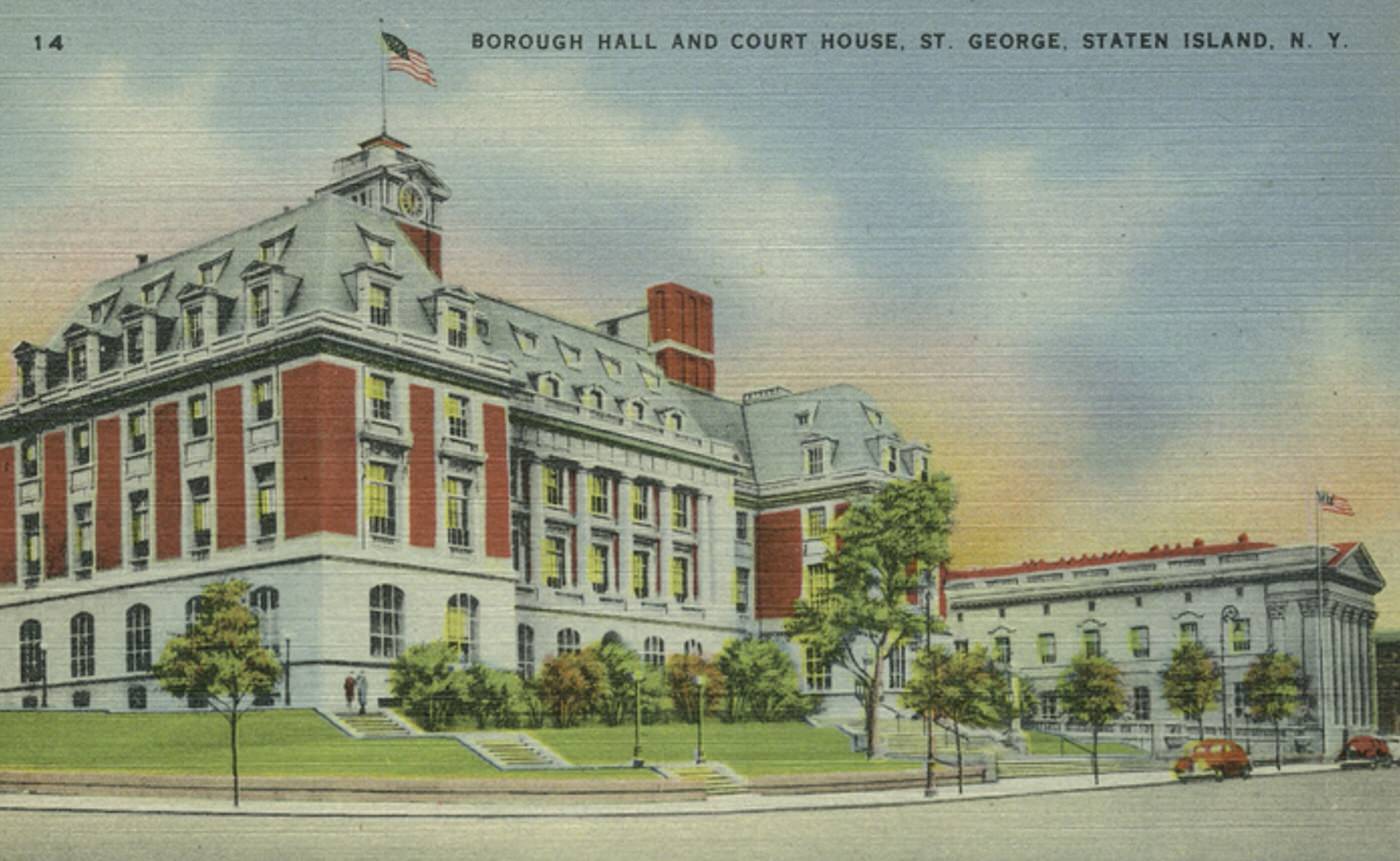
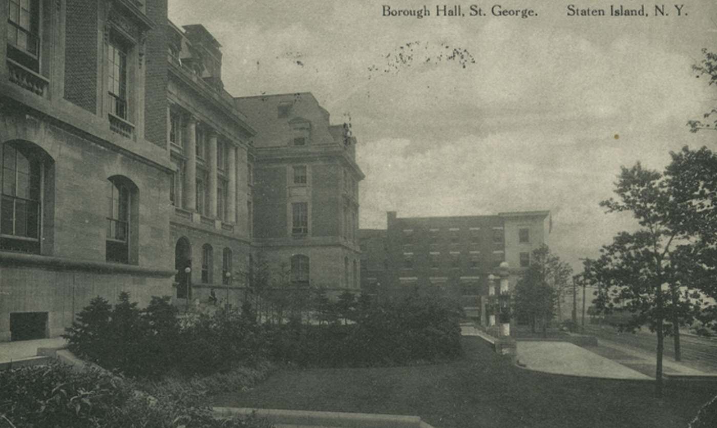
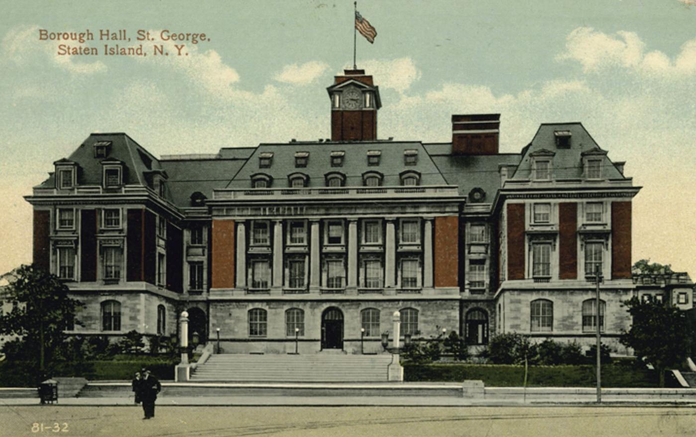
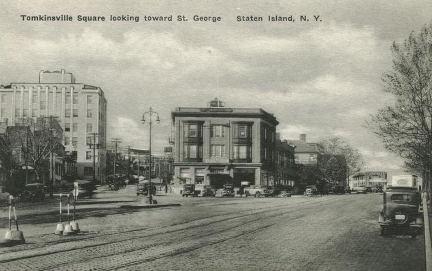
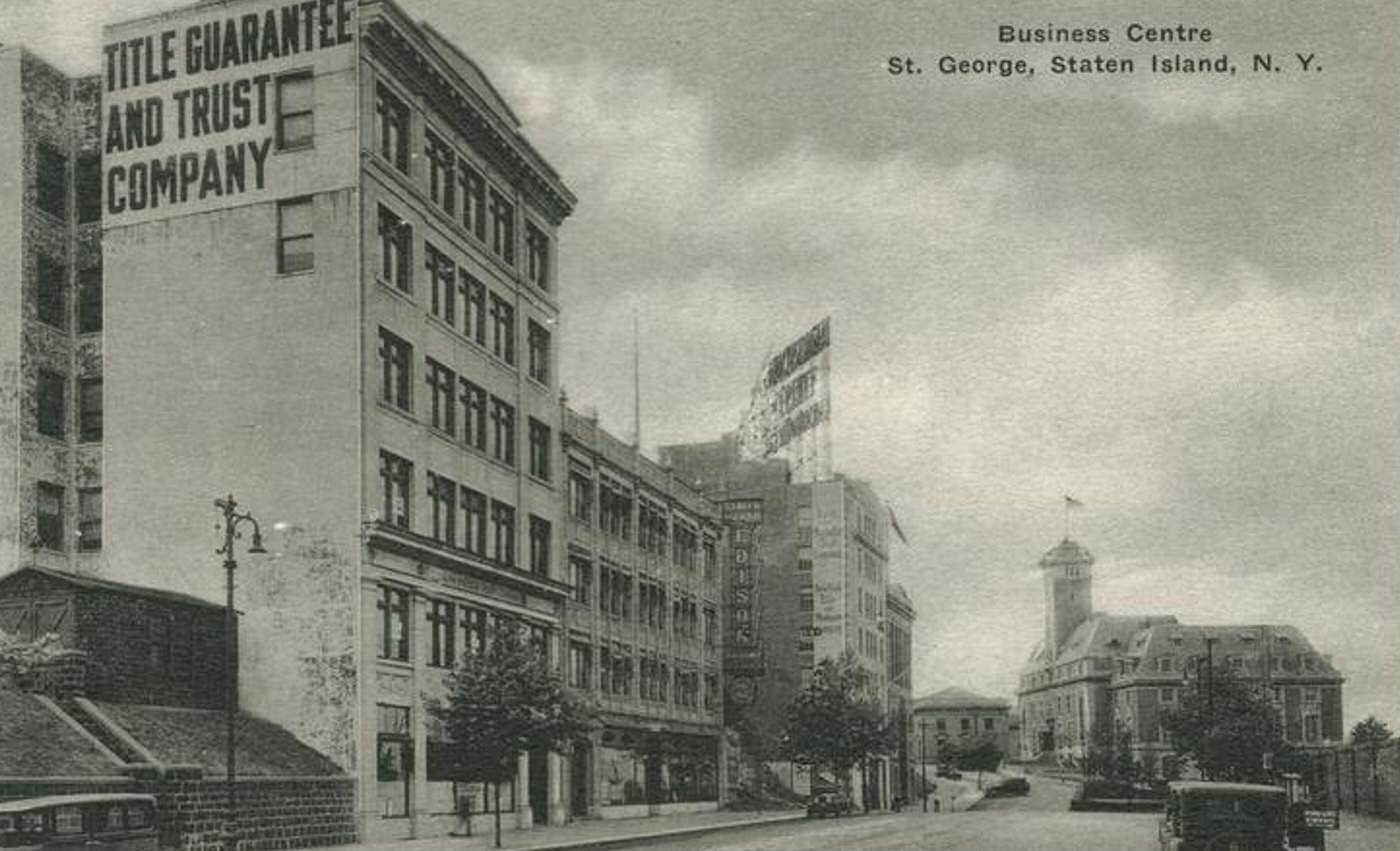
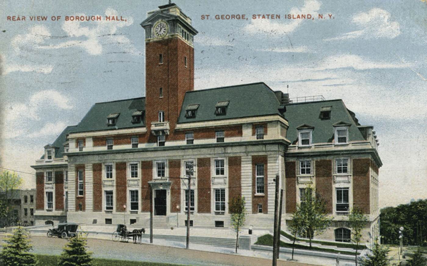
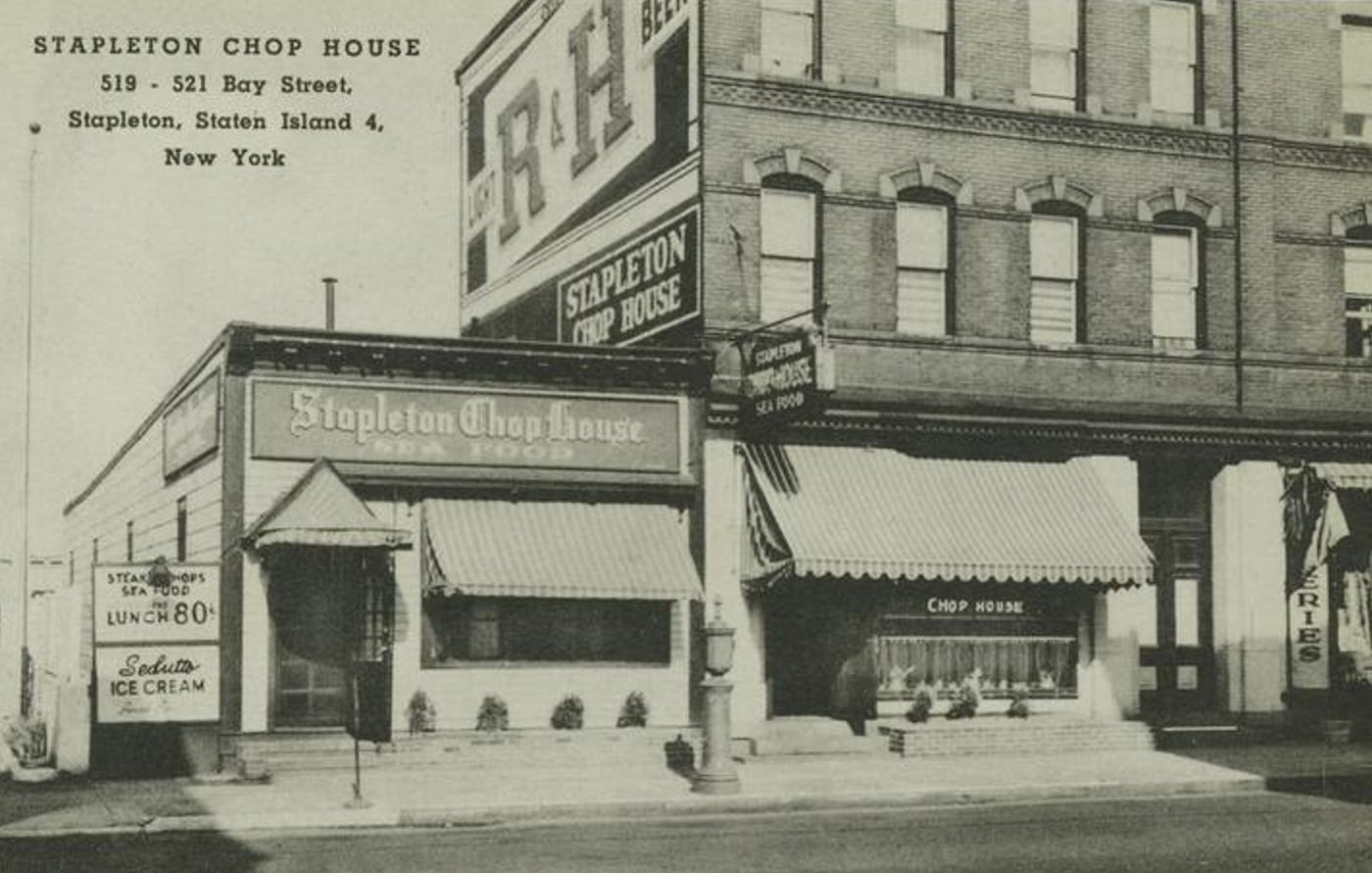
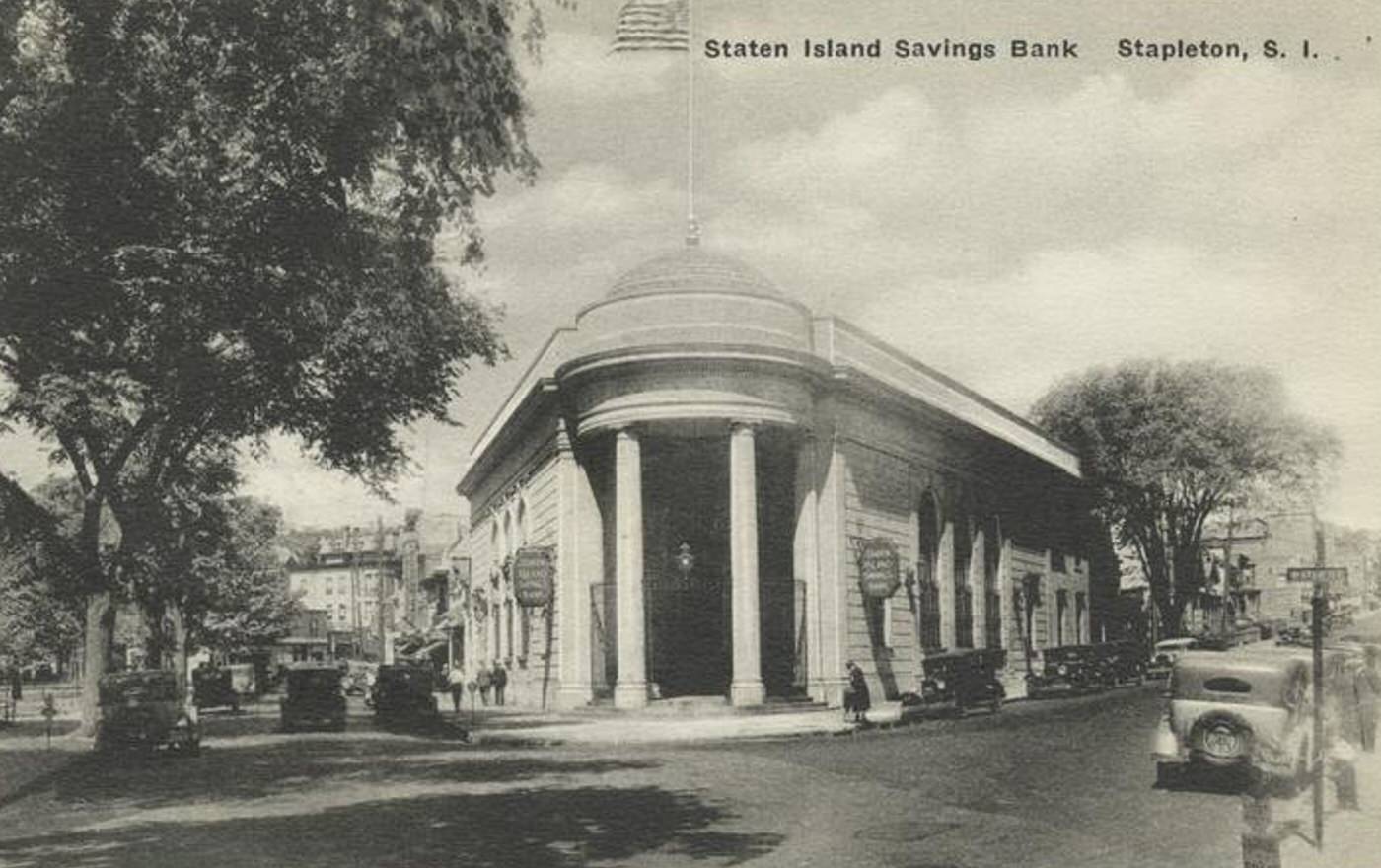
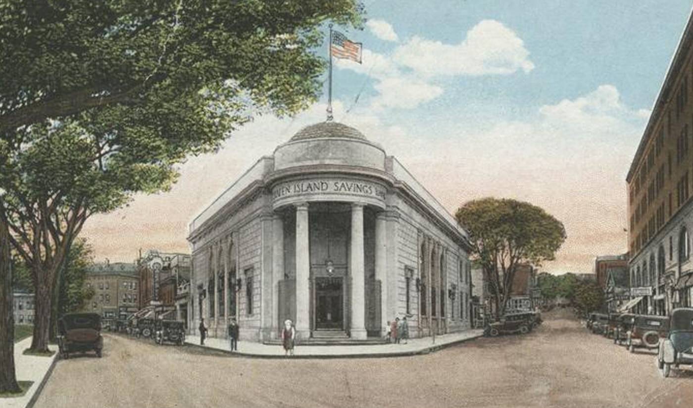
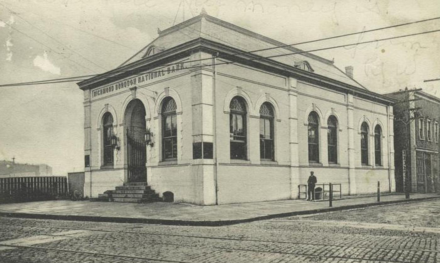
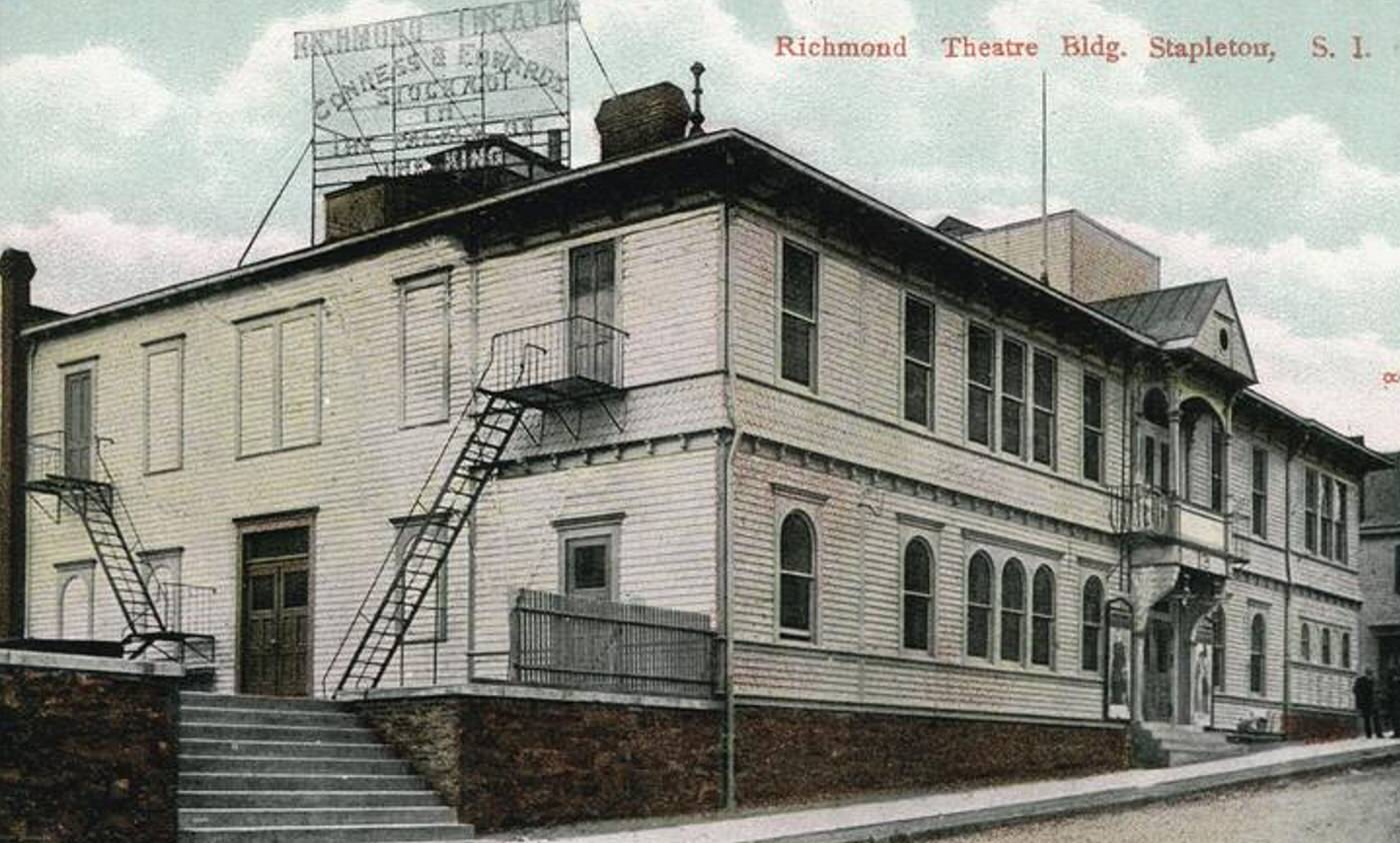
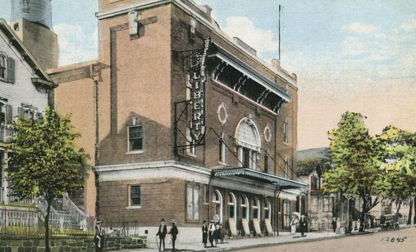
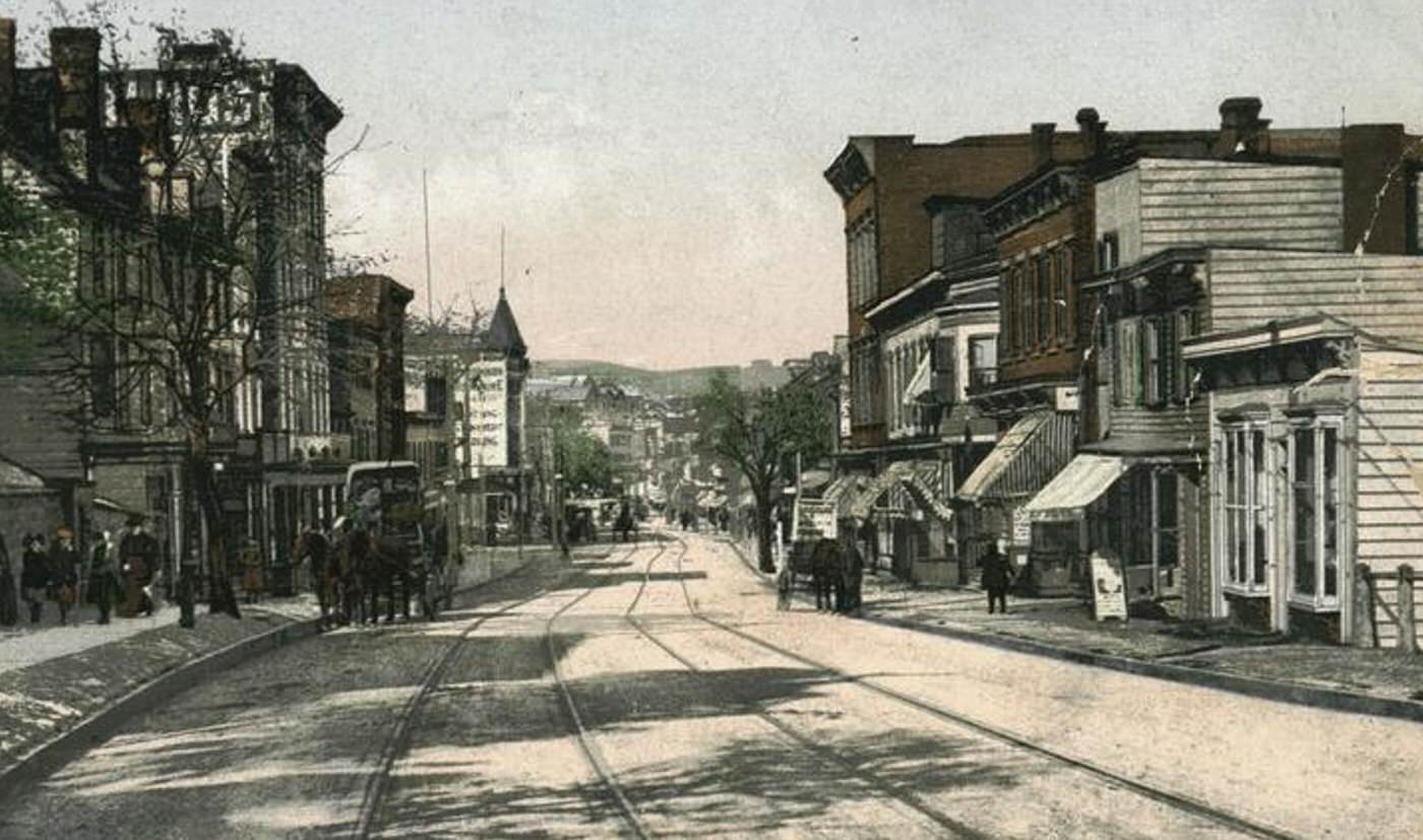
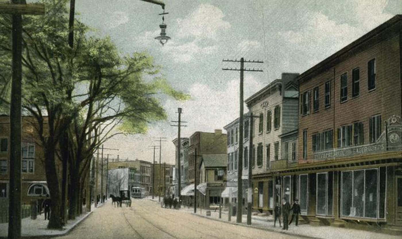
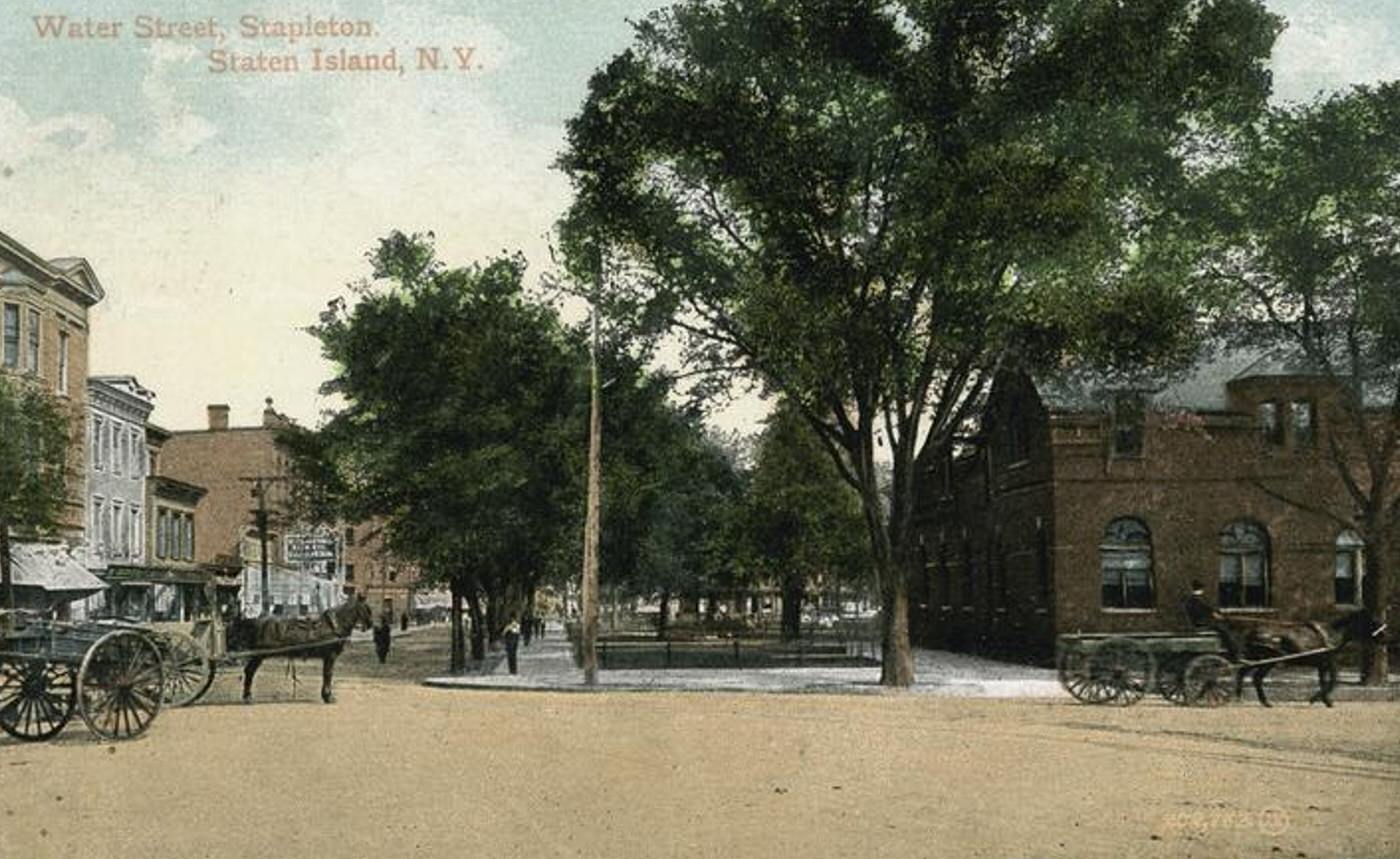
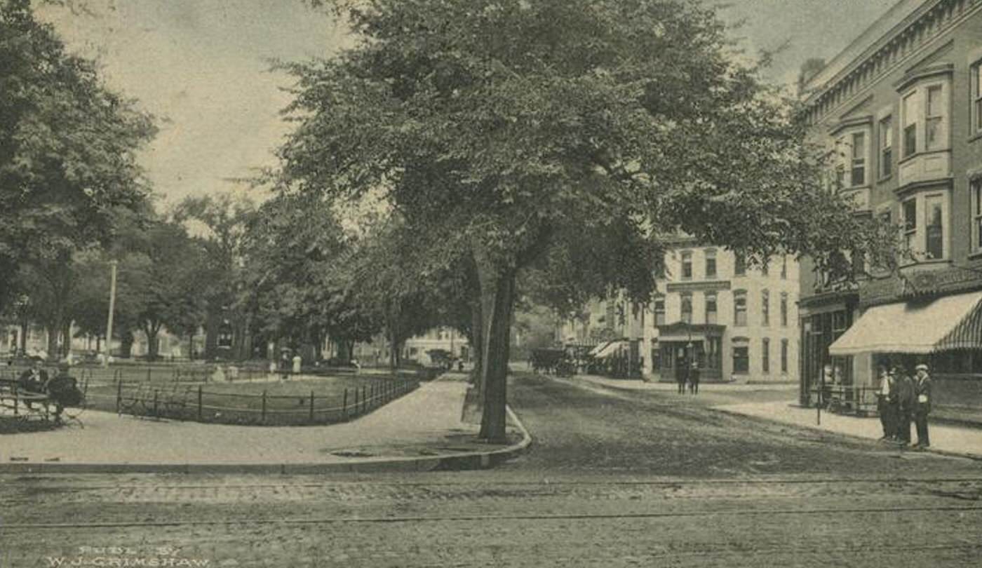
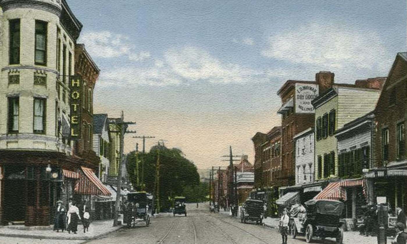
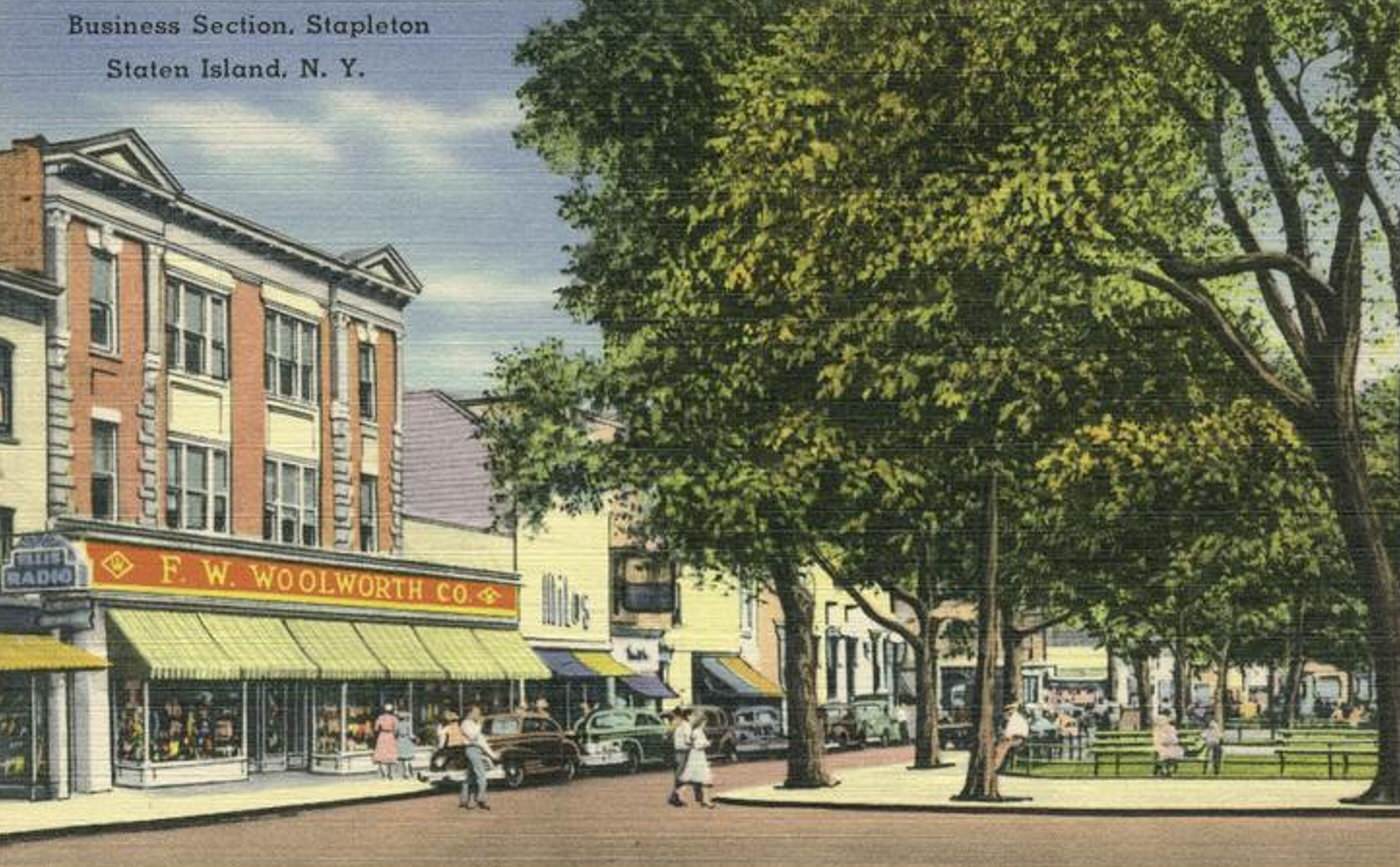
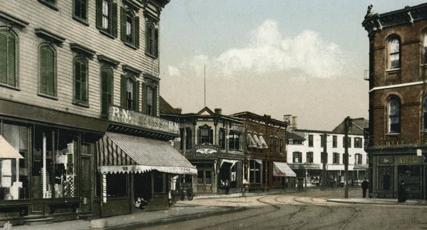
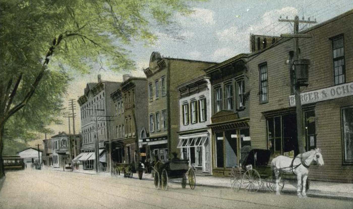
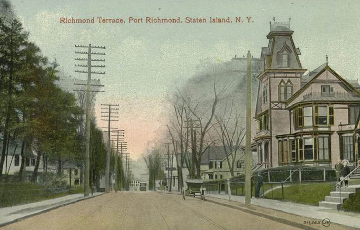
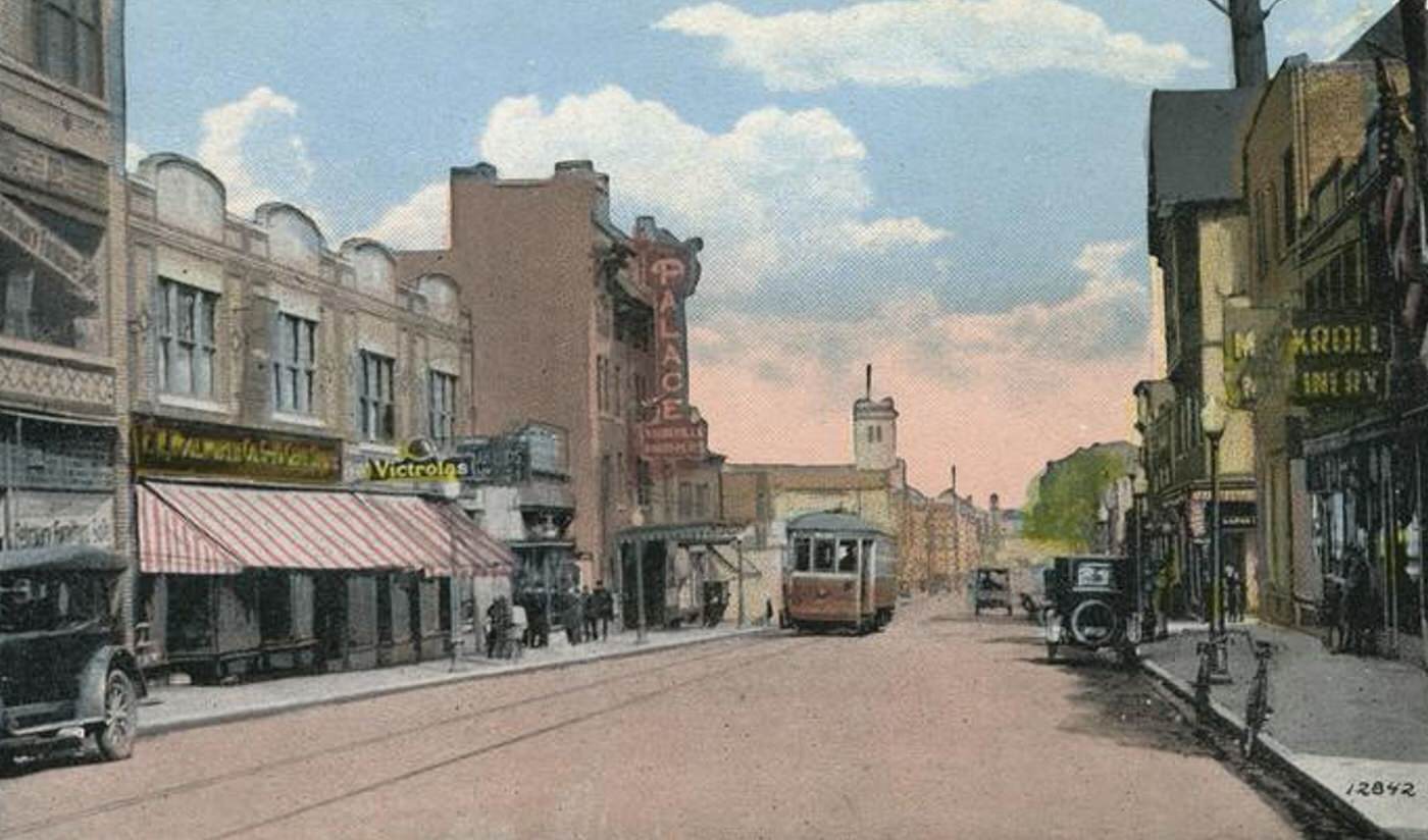
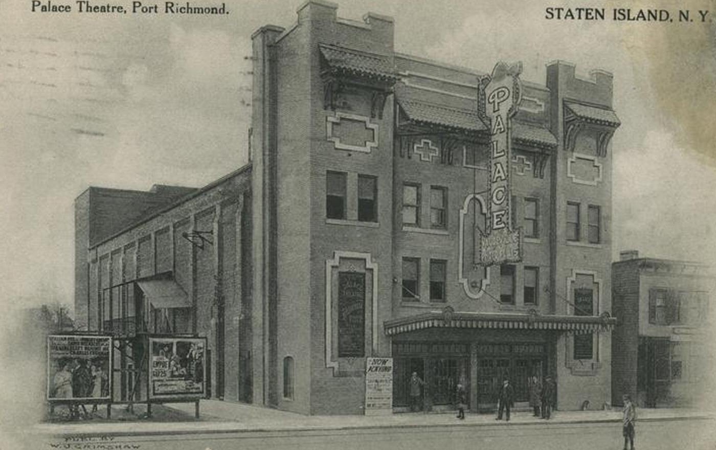
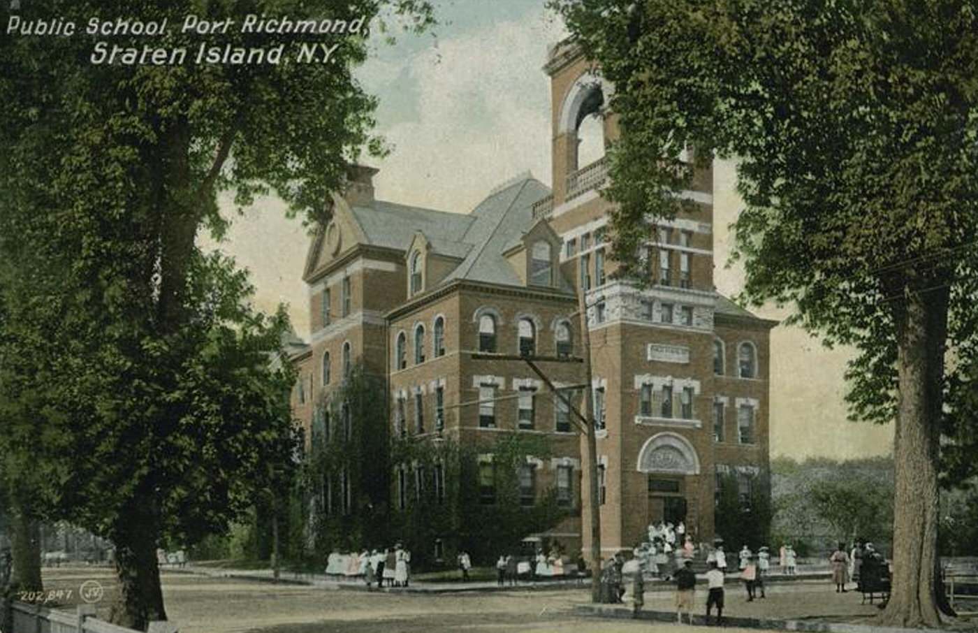
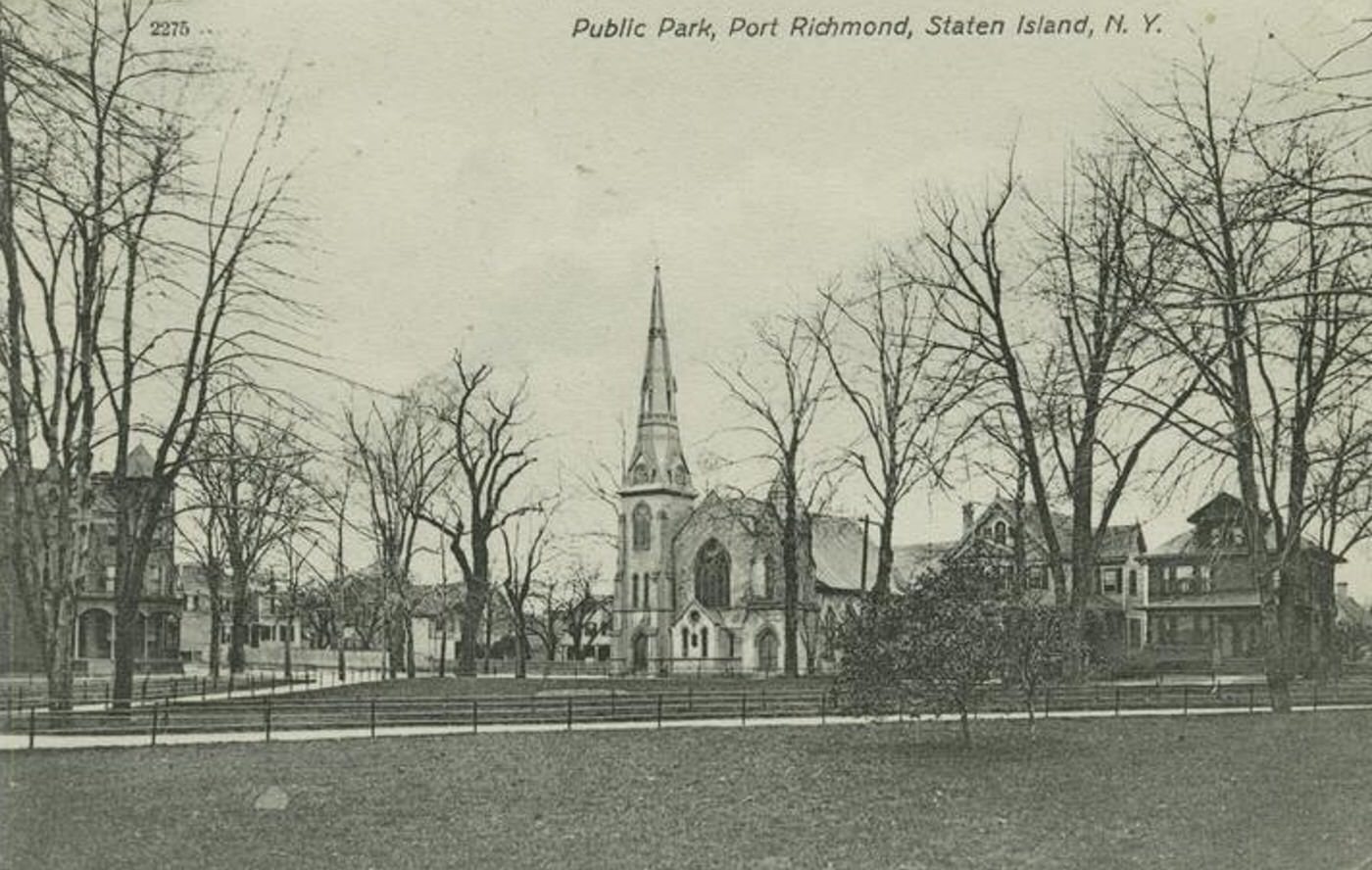
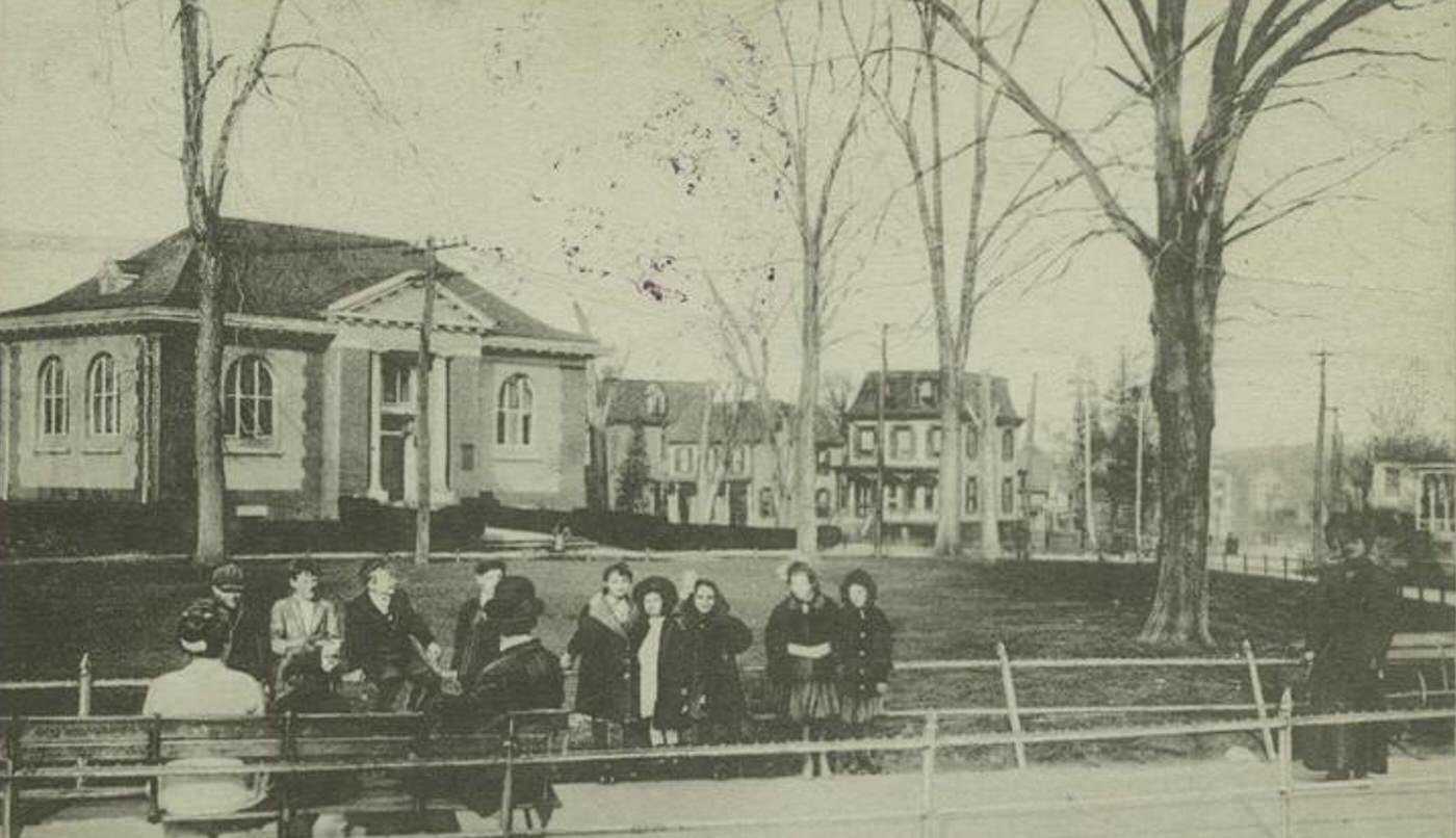
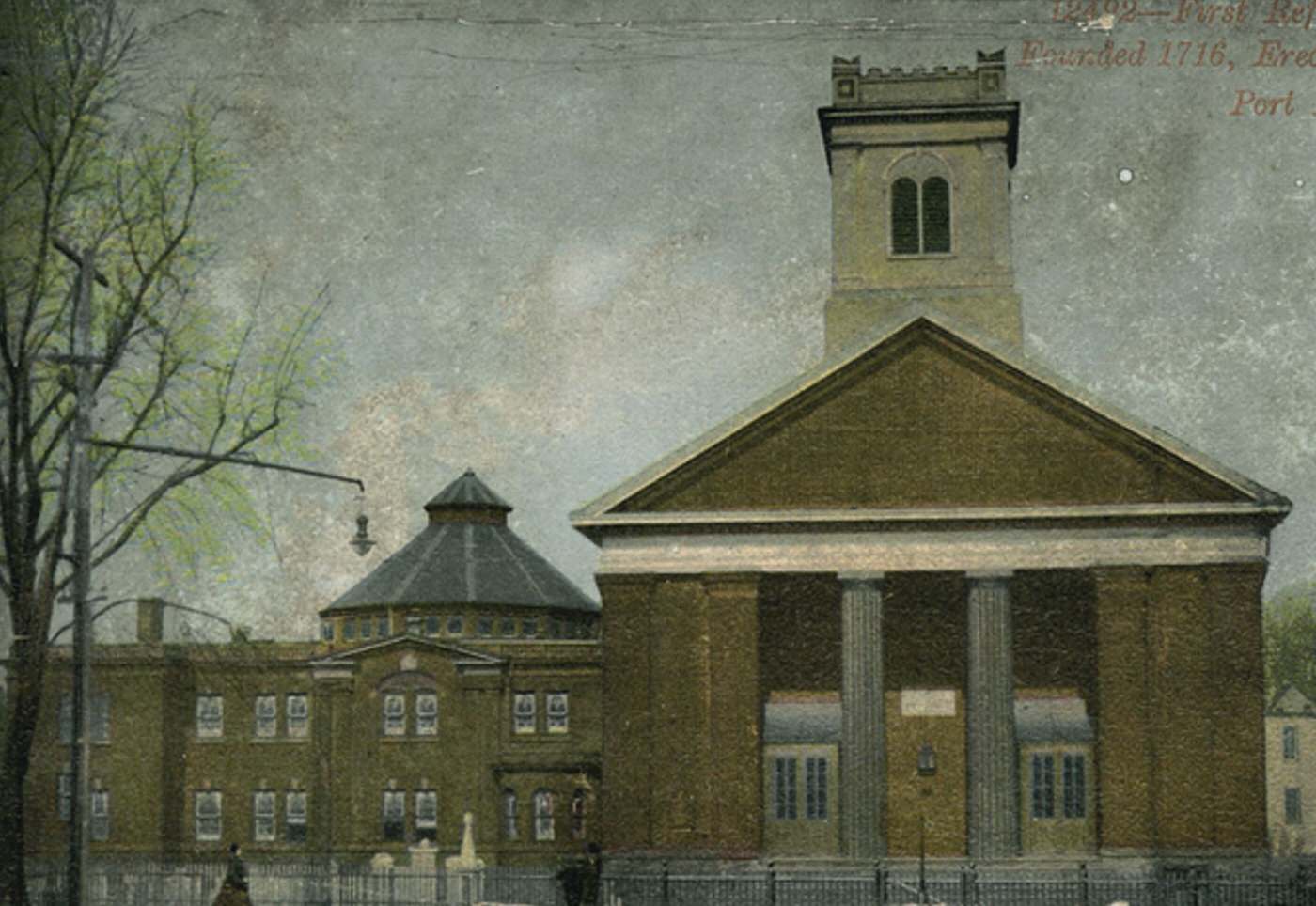
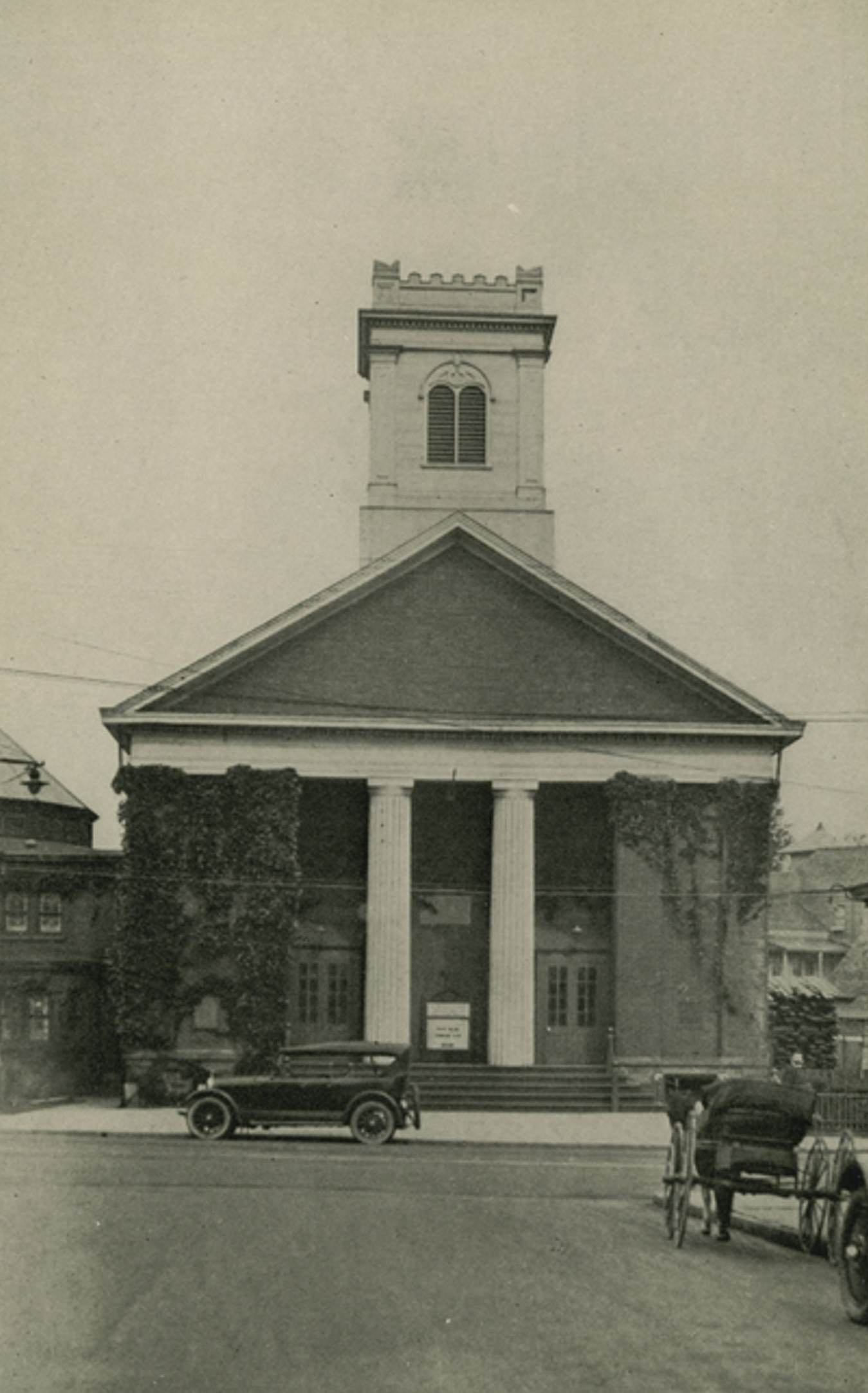
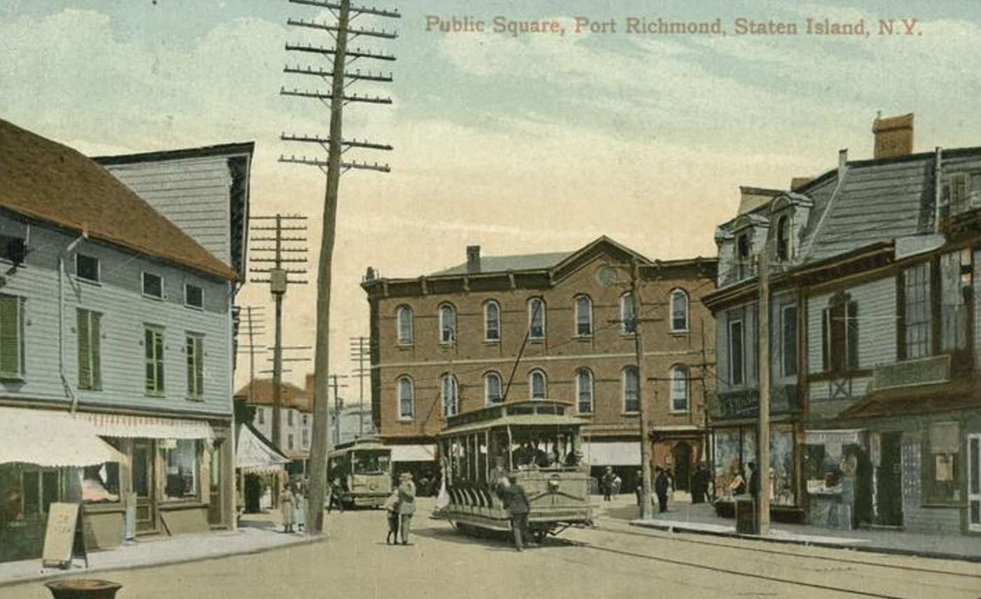
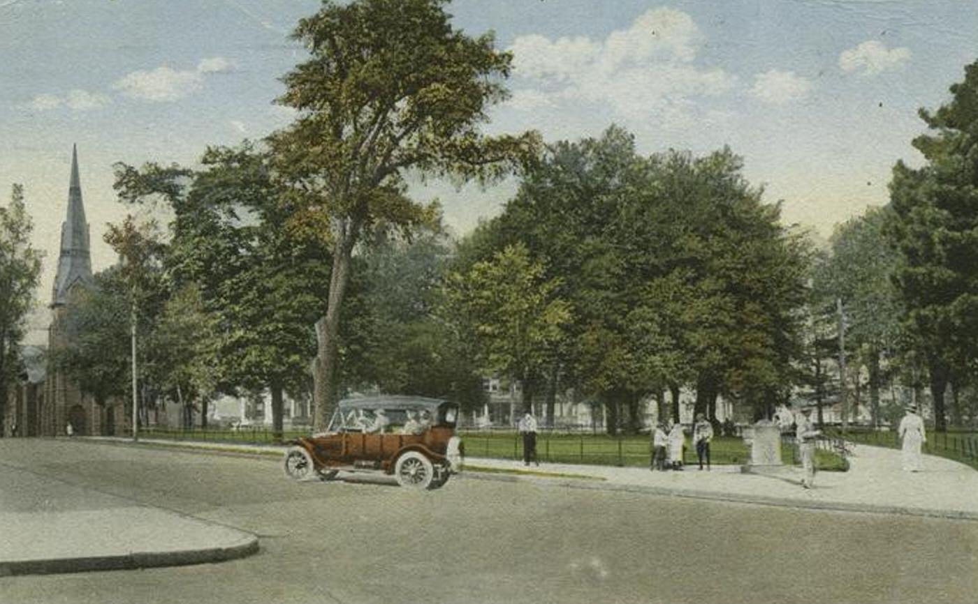
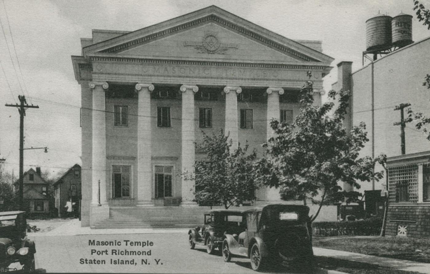
Several bustling commercial districts served the large population. Port Richmond functioned as a primary shopping destination for the island, with department stores, specialty shops, banks, and theaters lining Richmond Terrace. St. George, centered around the main ferry terminal, rapidly developed as an administrative and commercial hub after Staten Island became part of New York City. New Brighton, Tompkinsville, and Stapleton also contained busy commercial streets with a wide variety of businesses catering to local needs.
Read more
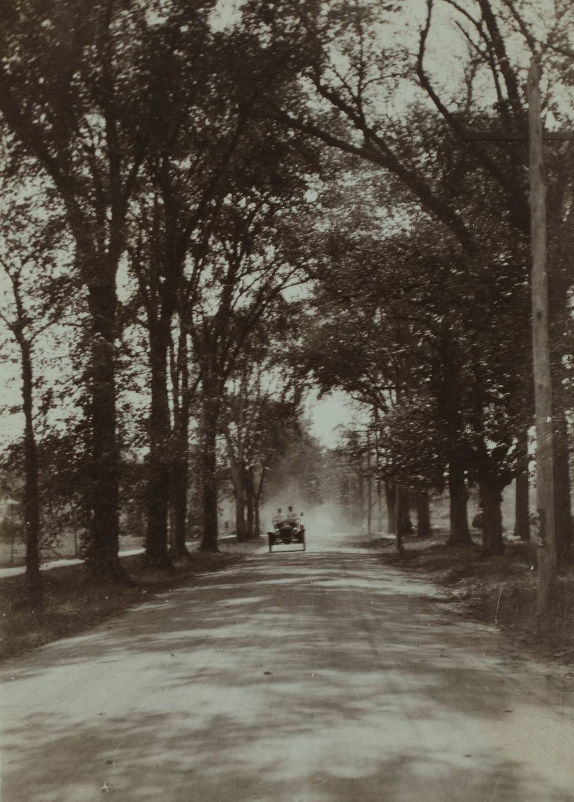
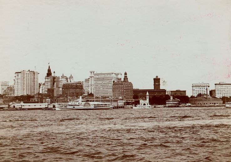
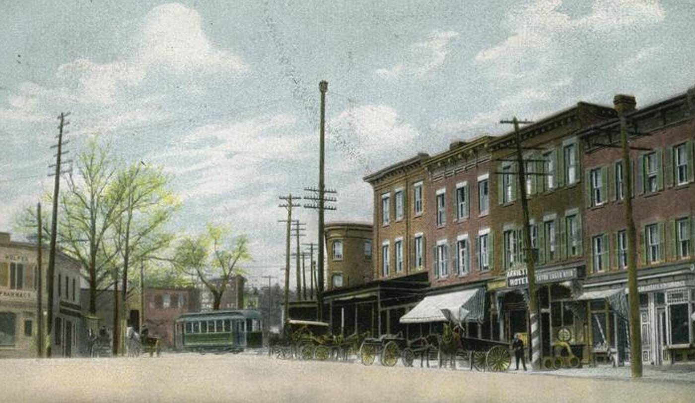
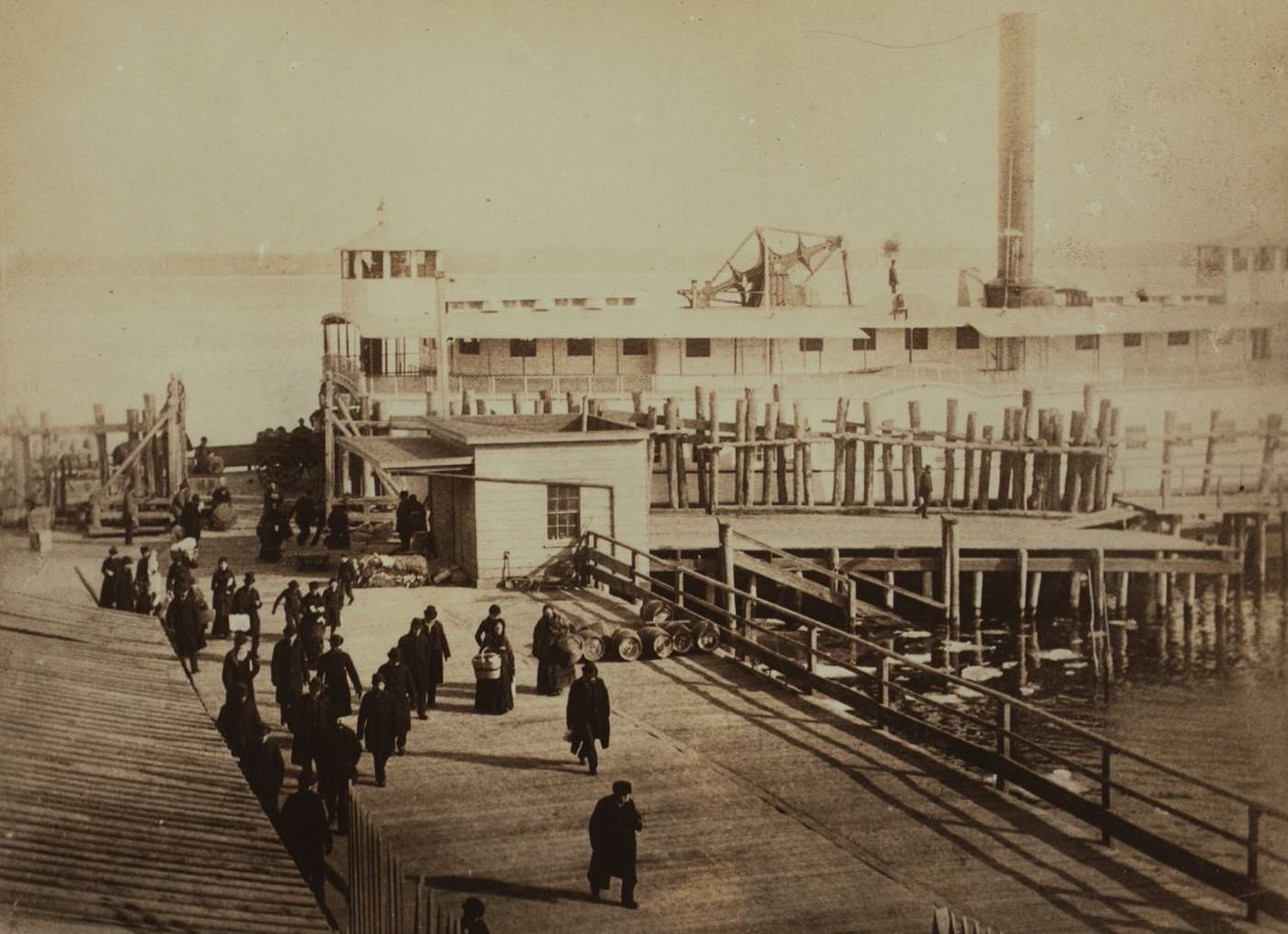
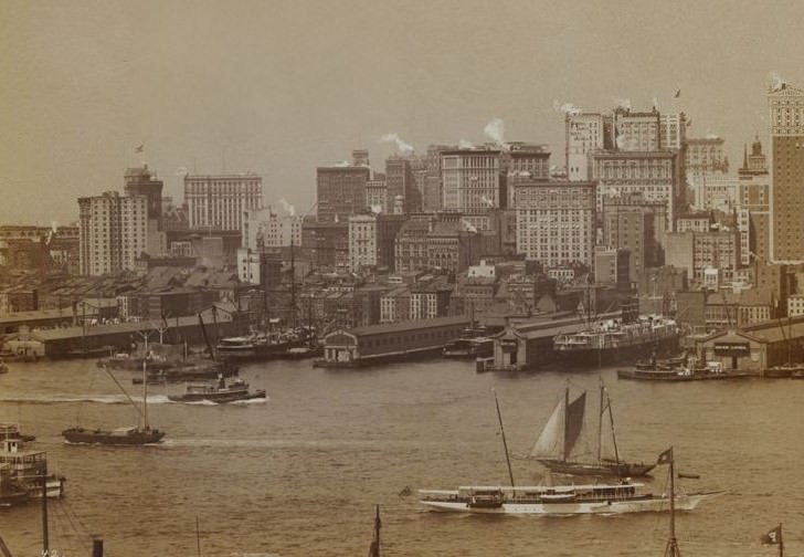
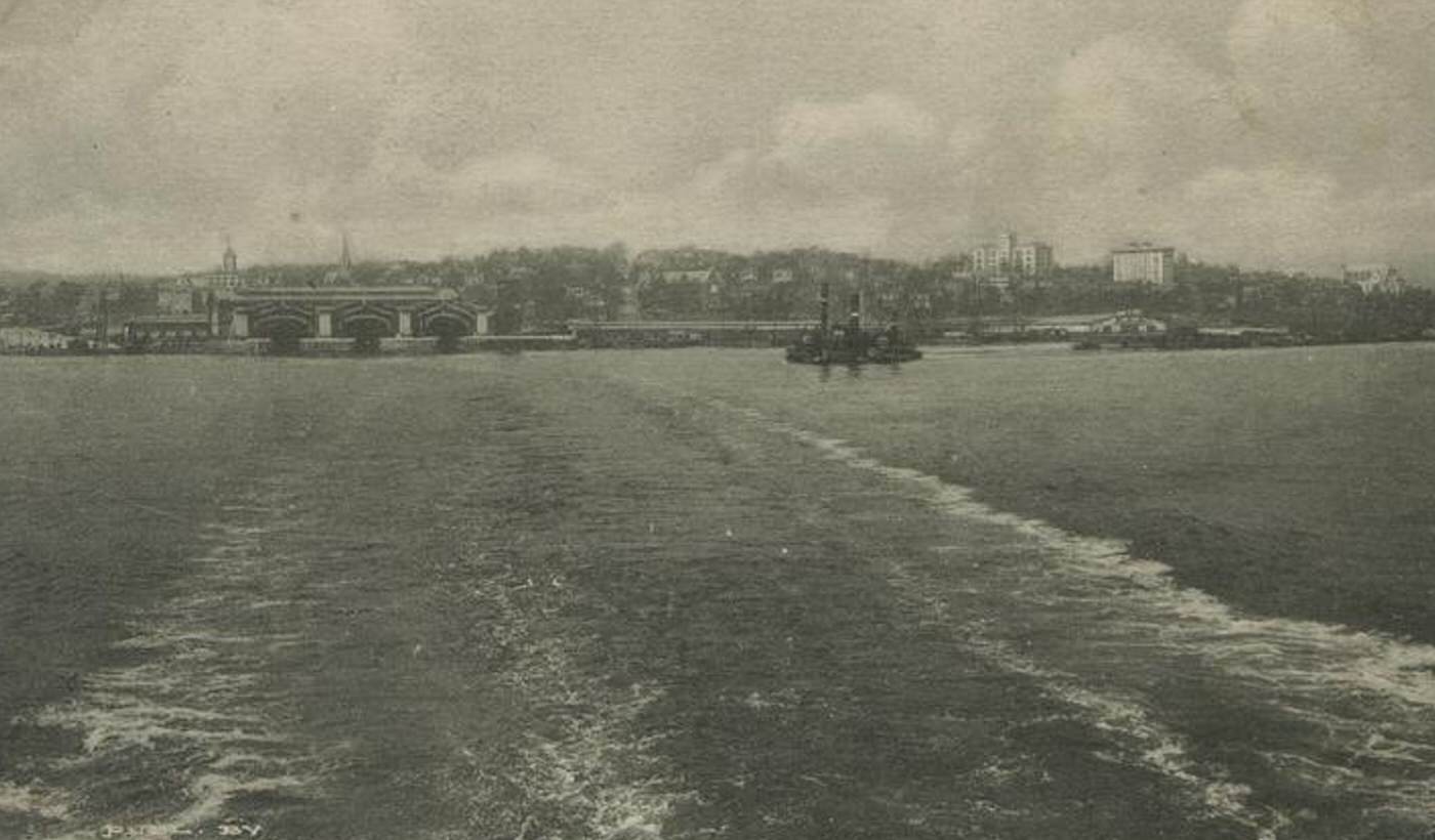
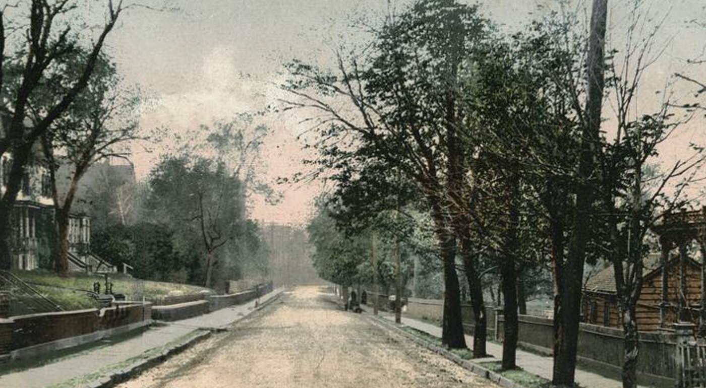
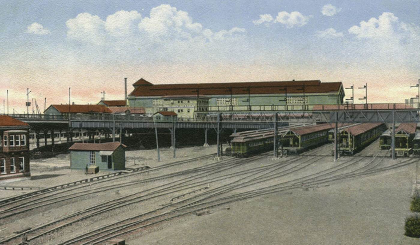
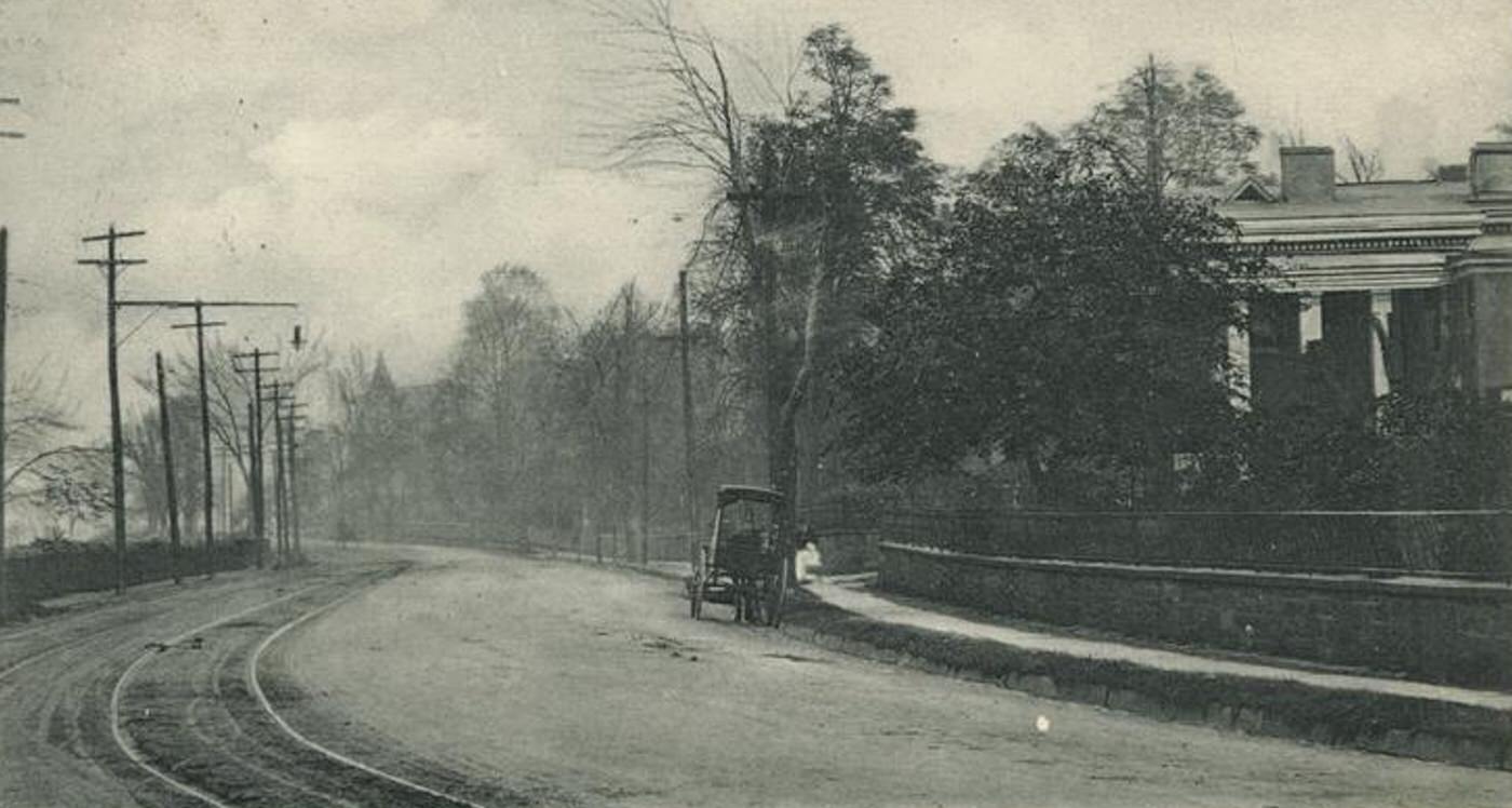
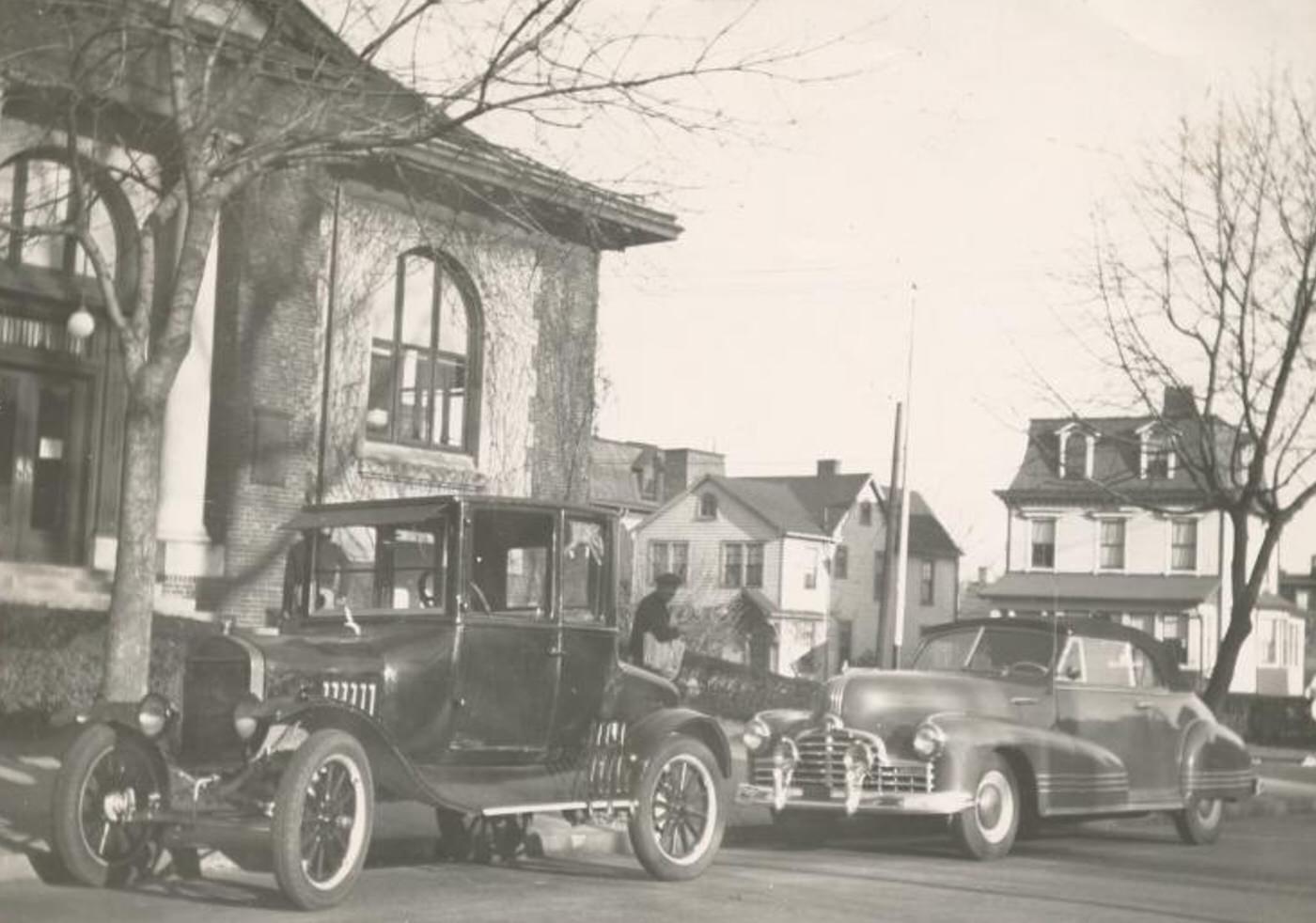
The North Shore possessed a comprehensive transportation network that connected its communities and linked Staten Island to the wider city. The St. George Ferry Terminal served as the crucial gateway, providing frequent passenger service to Manhattan. Two Staten Island Railway (SIRT) lines operated: the main line ran south from St. George through Tompkinsville and Stapleton, while the North Shore Branch ran west along the Kill Van Kull, serving New Brighton, Port Richmond, and Mariners Harbor. An extensive system of electric trolley cars crisscrossed the North Shore, running along Richmond Terrace, Bay Street, Castleton Avenue, and other main roads, making local travel convenient. The Kill Van Kull itself was a busy maritime highway with constant ship traffic and ferries connecting to New Jersey.
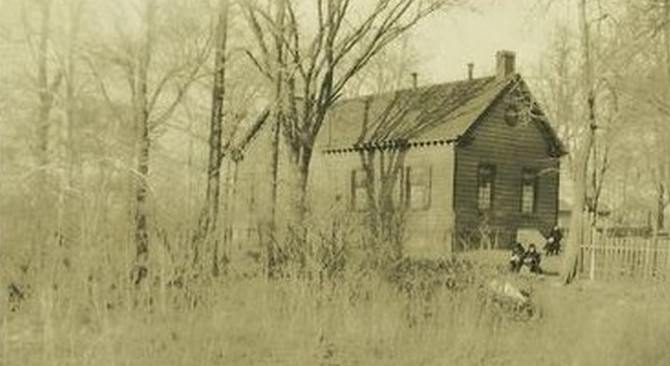
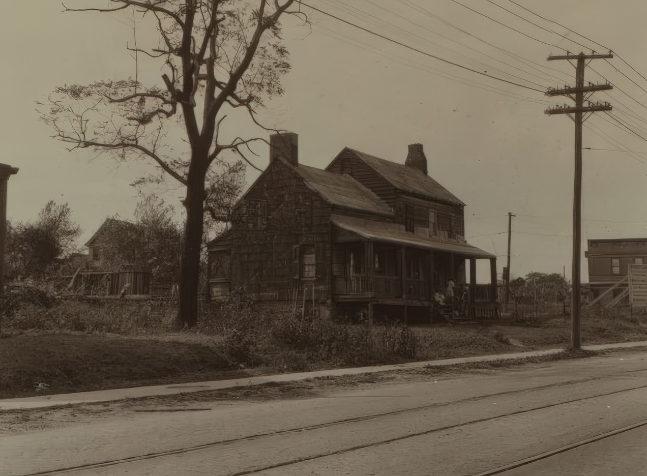
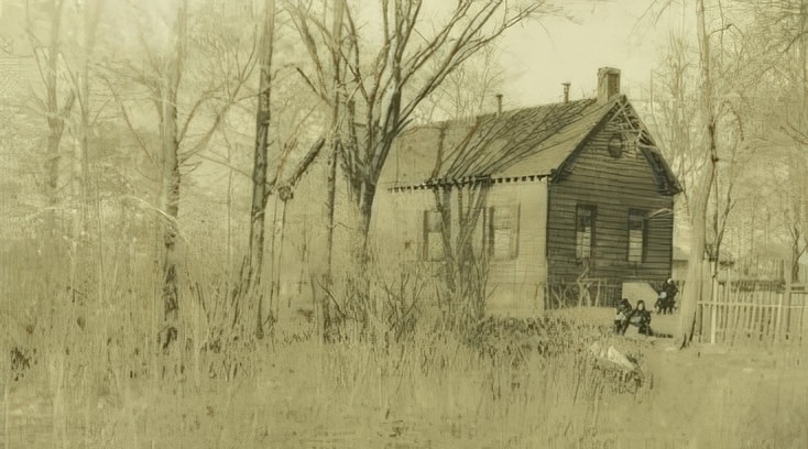
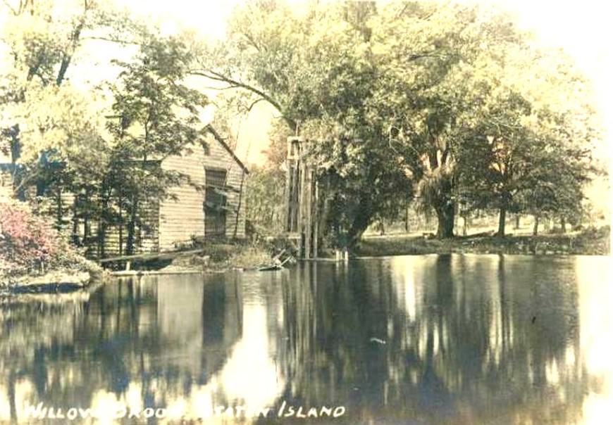
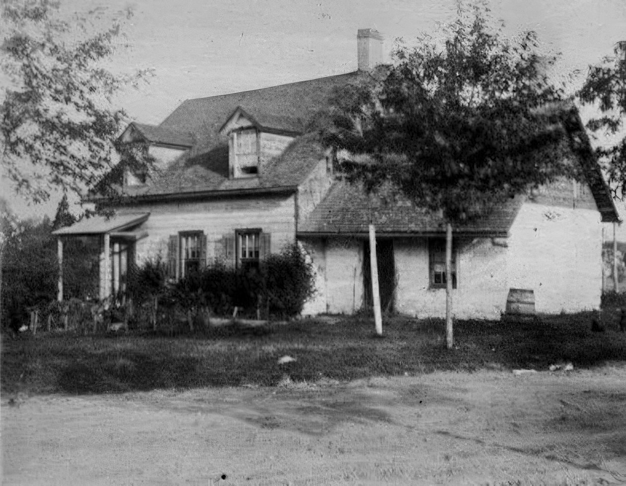
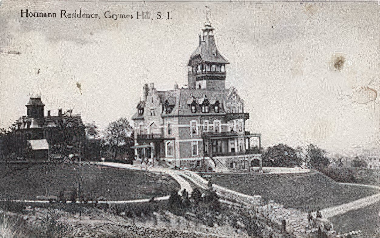
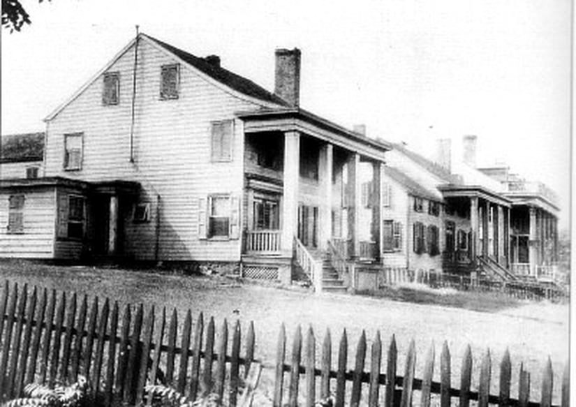
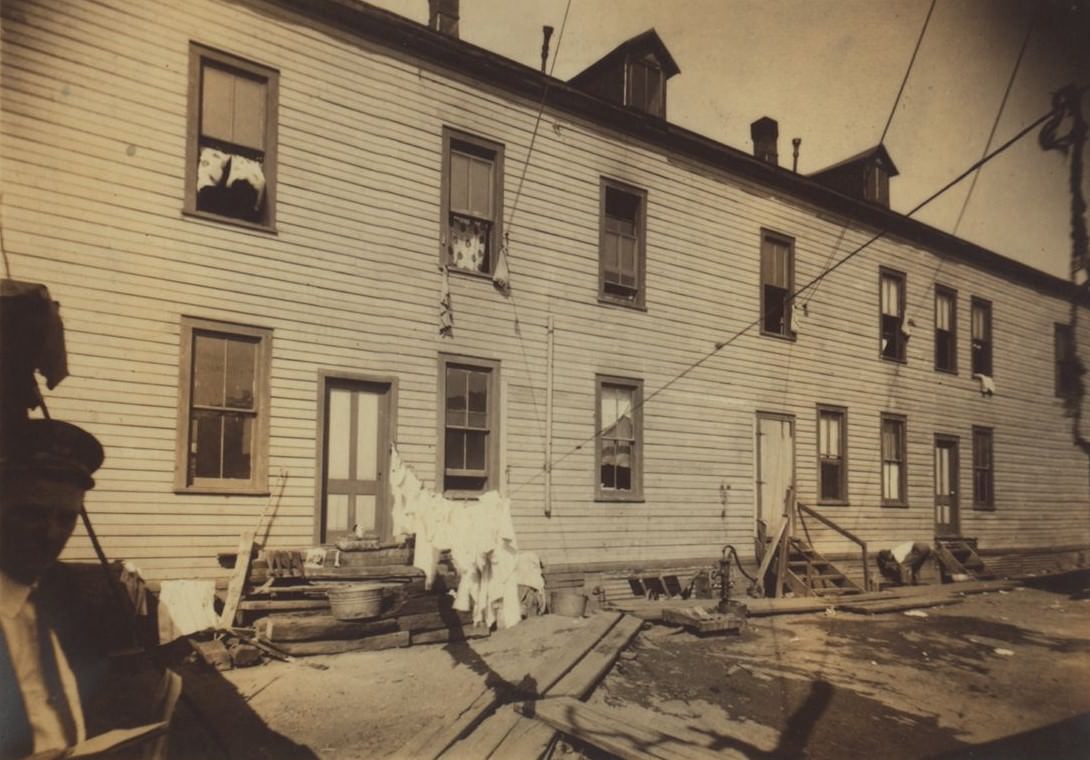
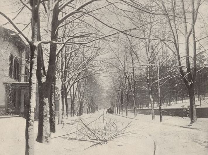
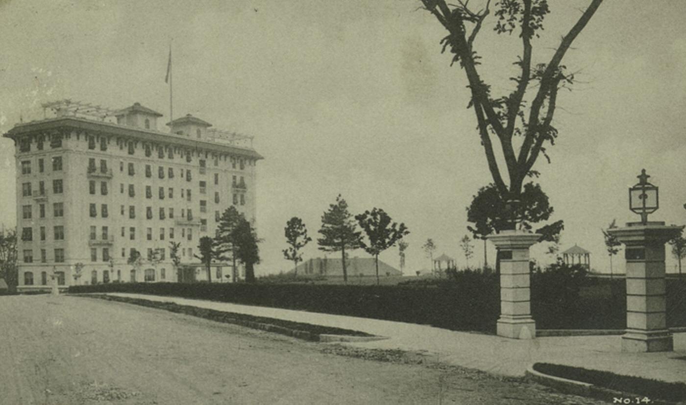
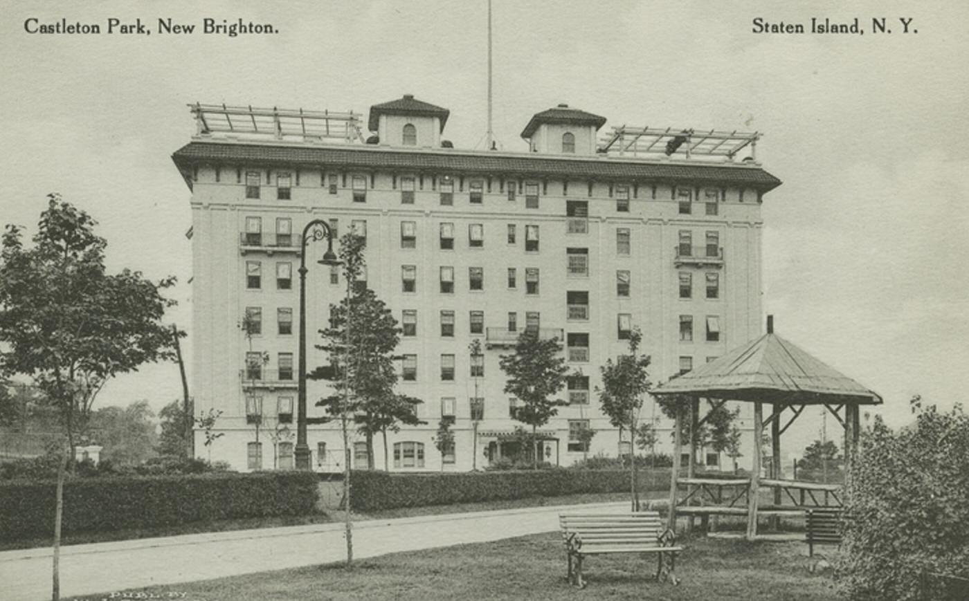
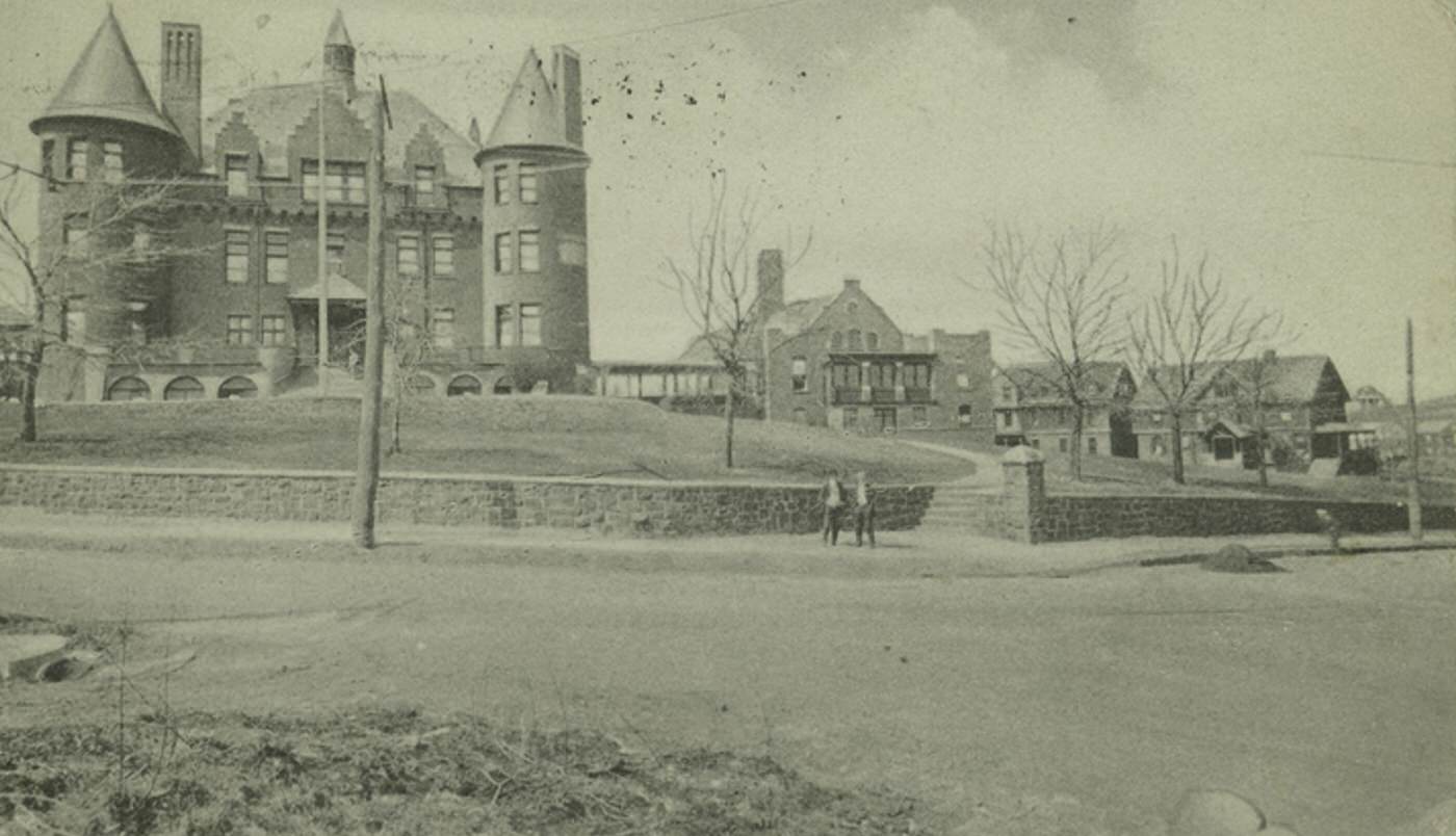
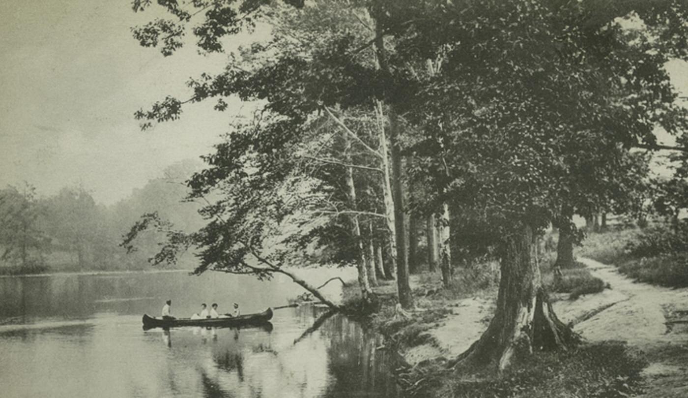
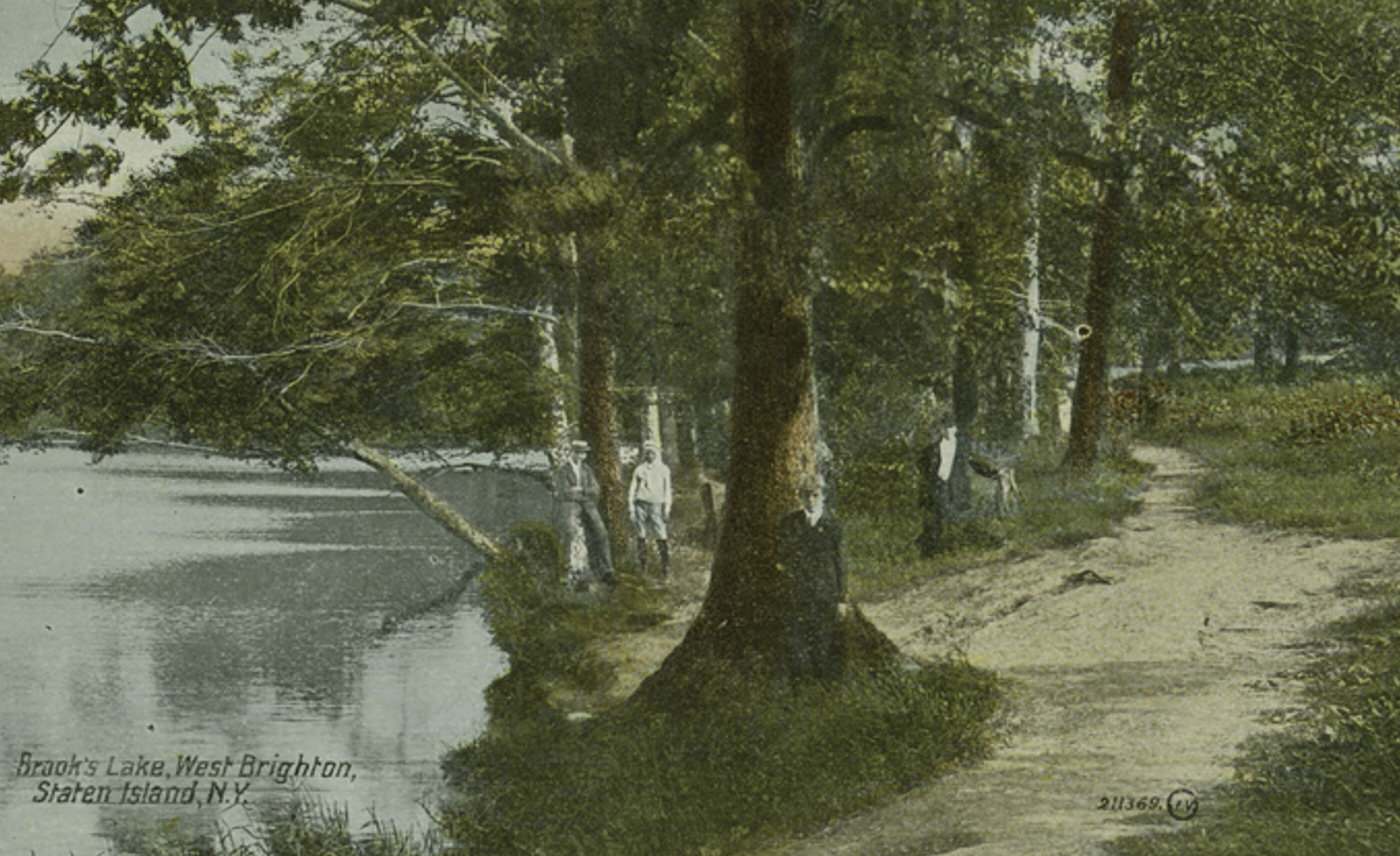
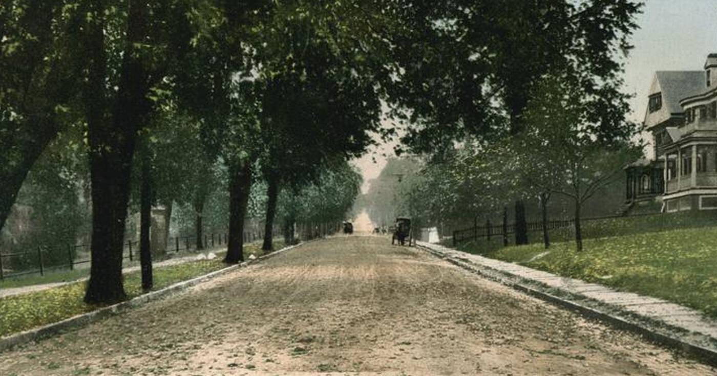
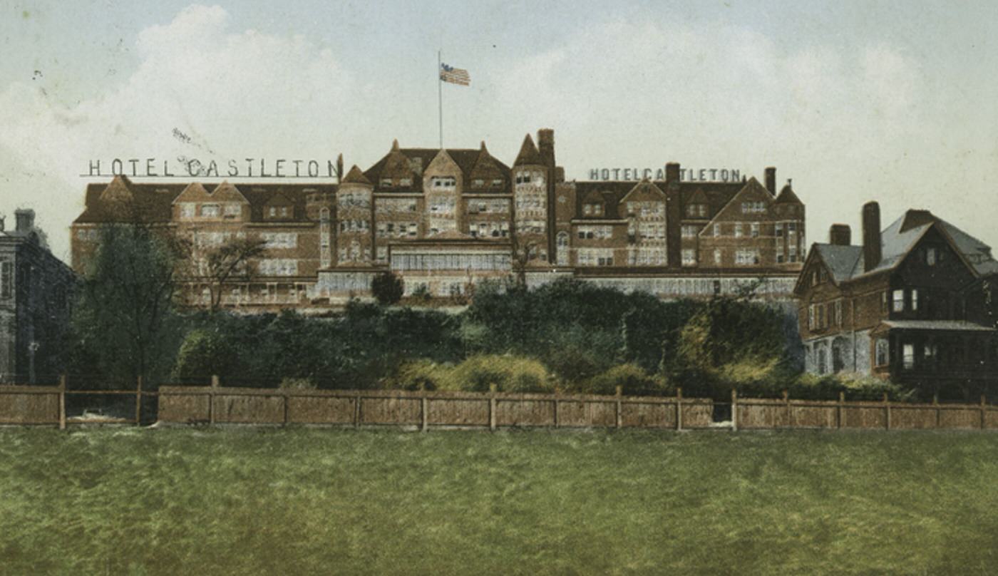
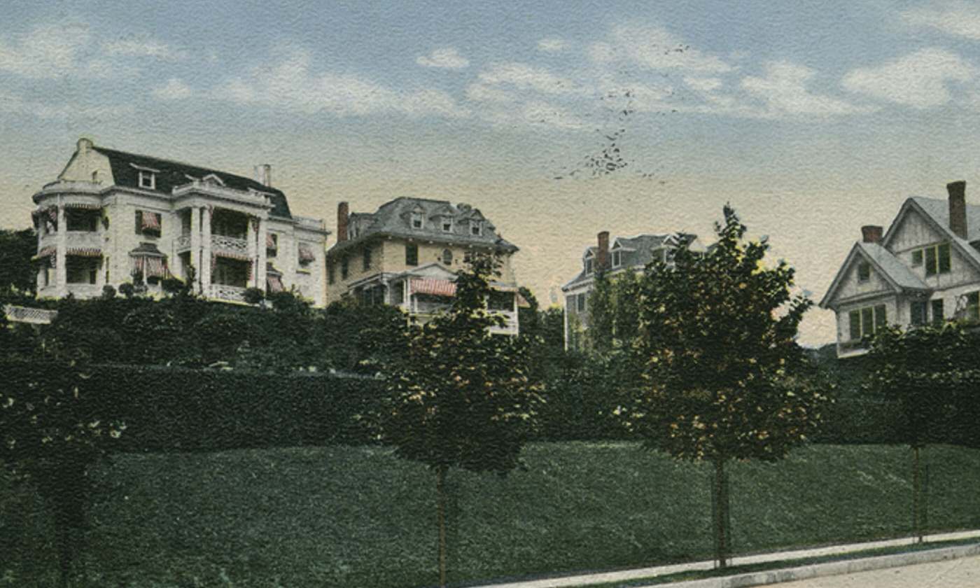
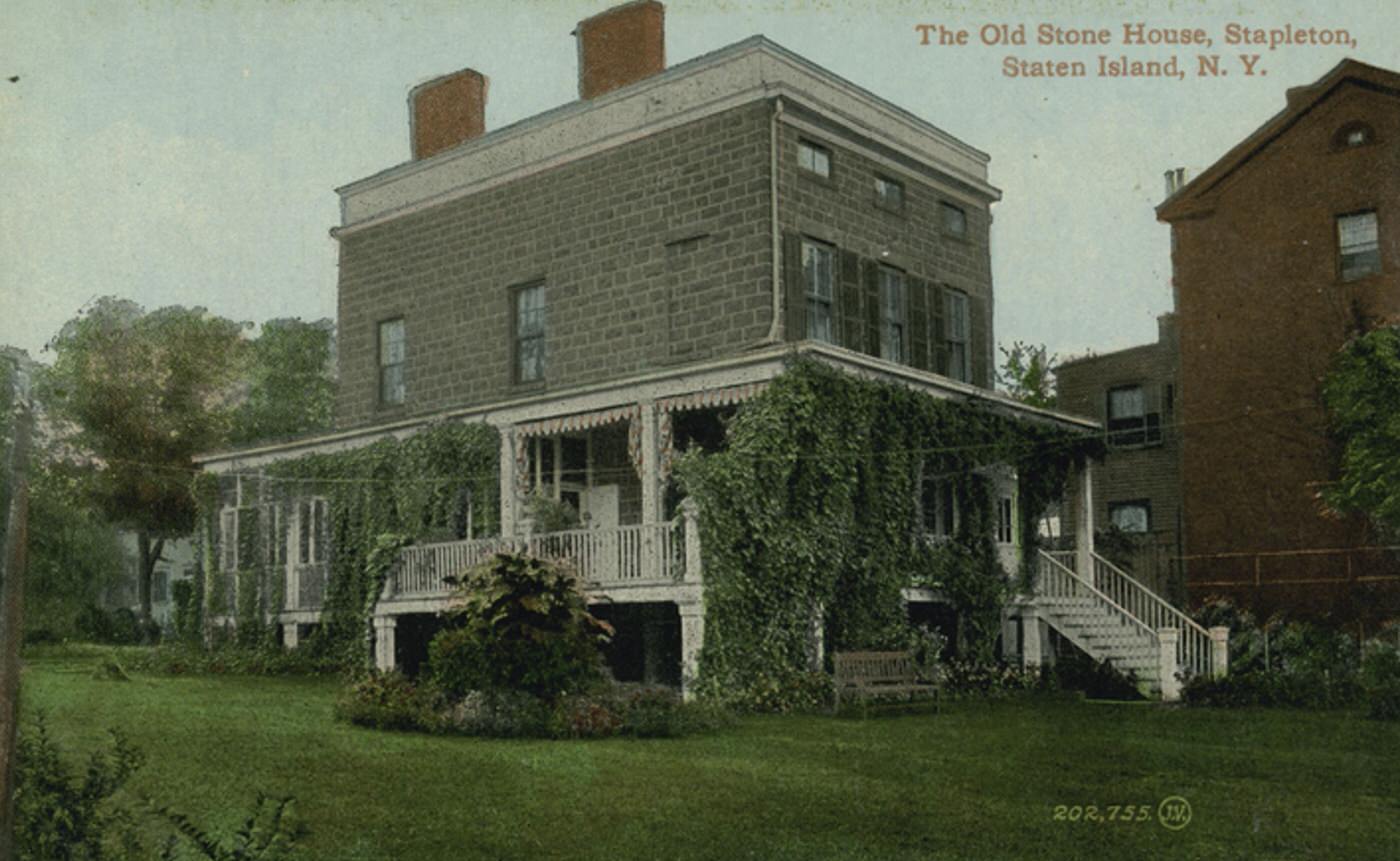
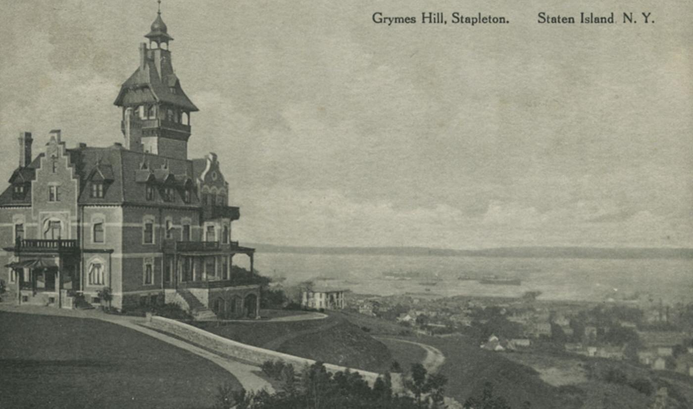
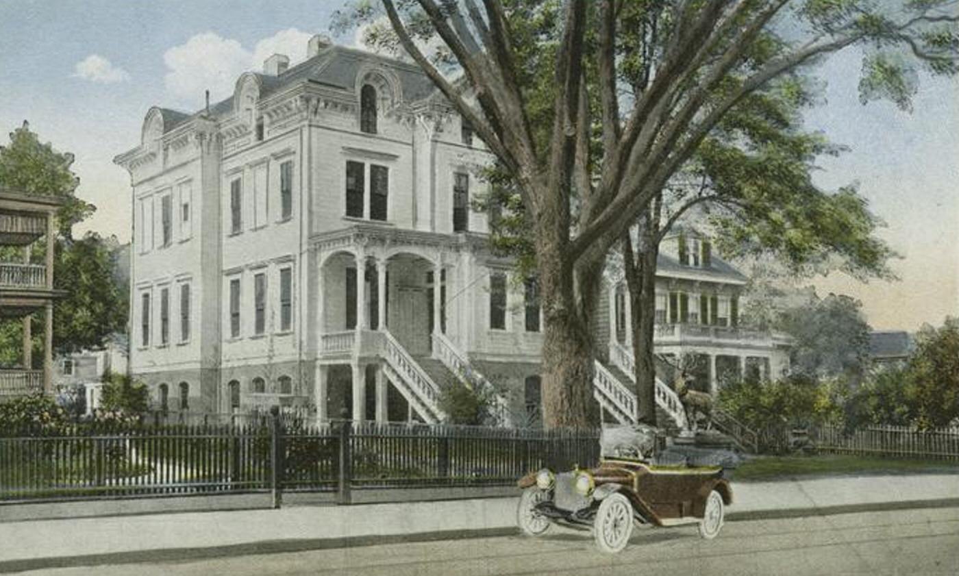
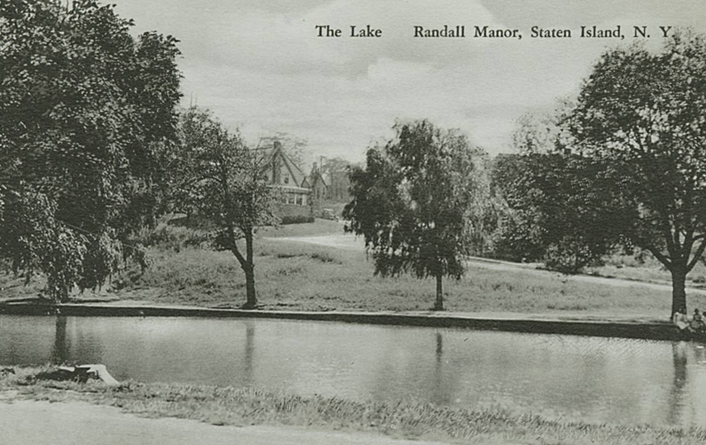
Established residential neighborhoods housed the North Shore’s significant population. On hills like Grymes Hill and Ward Hill, large Victorian homes offered commanding views of the harbor. Areas like West Brighton and Westerleigh consisted of settled residential blocks with single-family homes and tree-lined streets. Closer to the industrial waterfront, denser housing accommodated factory workers and their families. The overall population density here was far greater than anywhere else on Staten Island at the time.
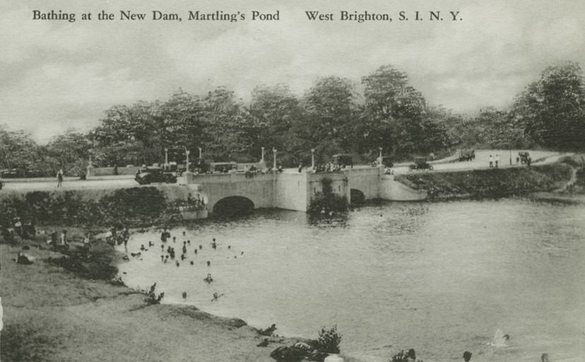
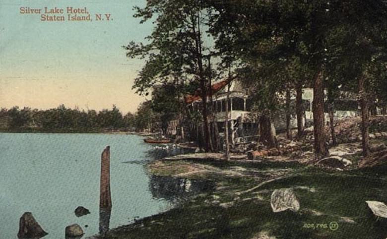
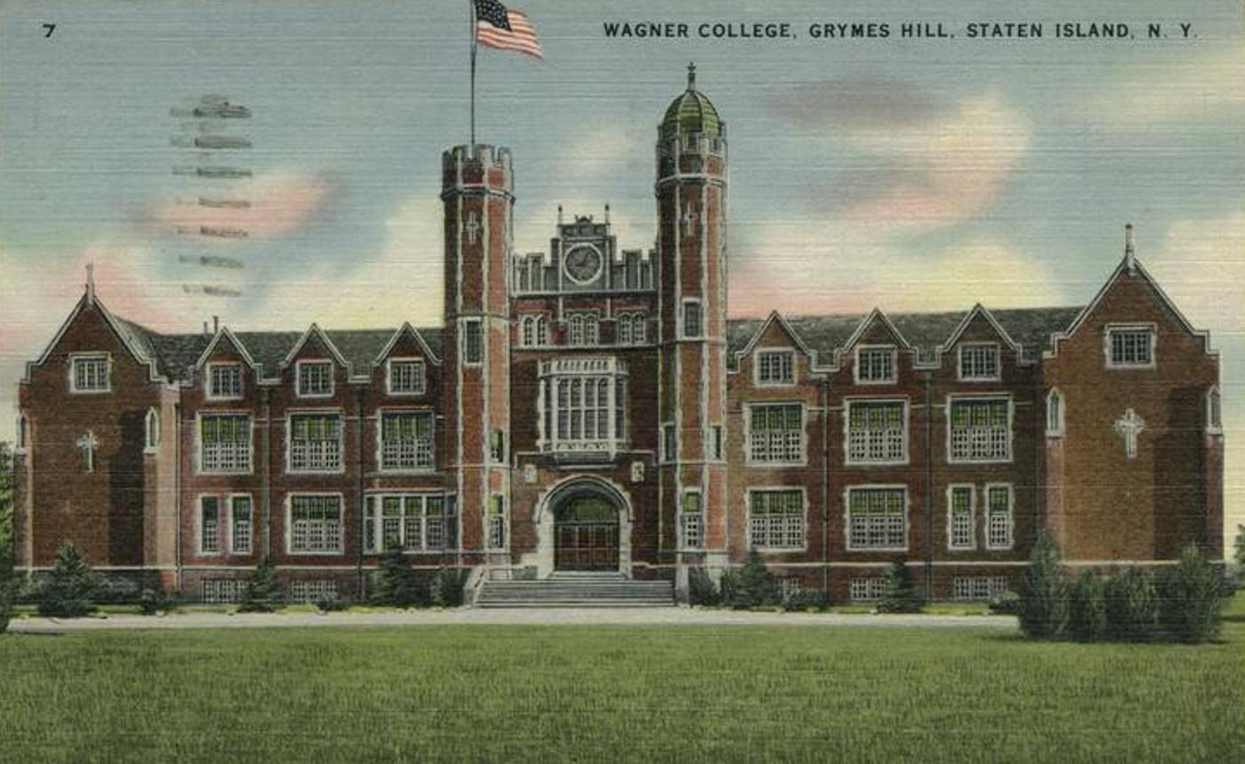
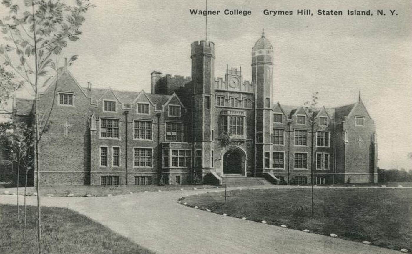
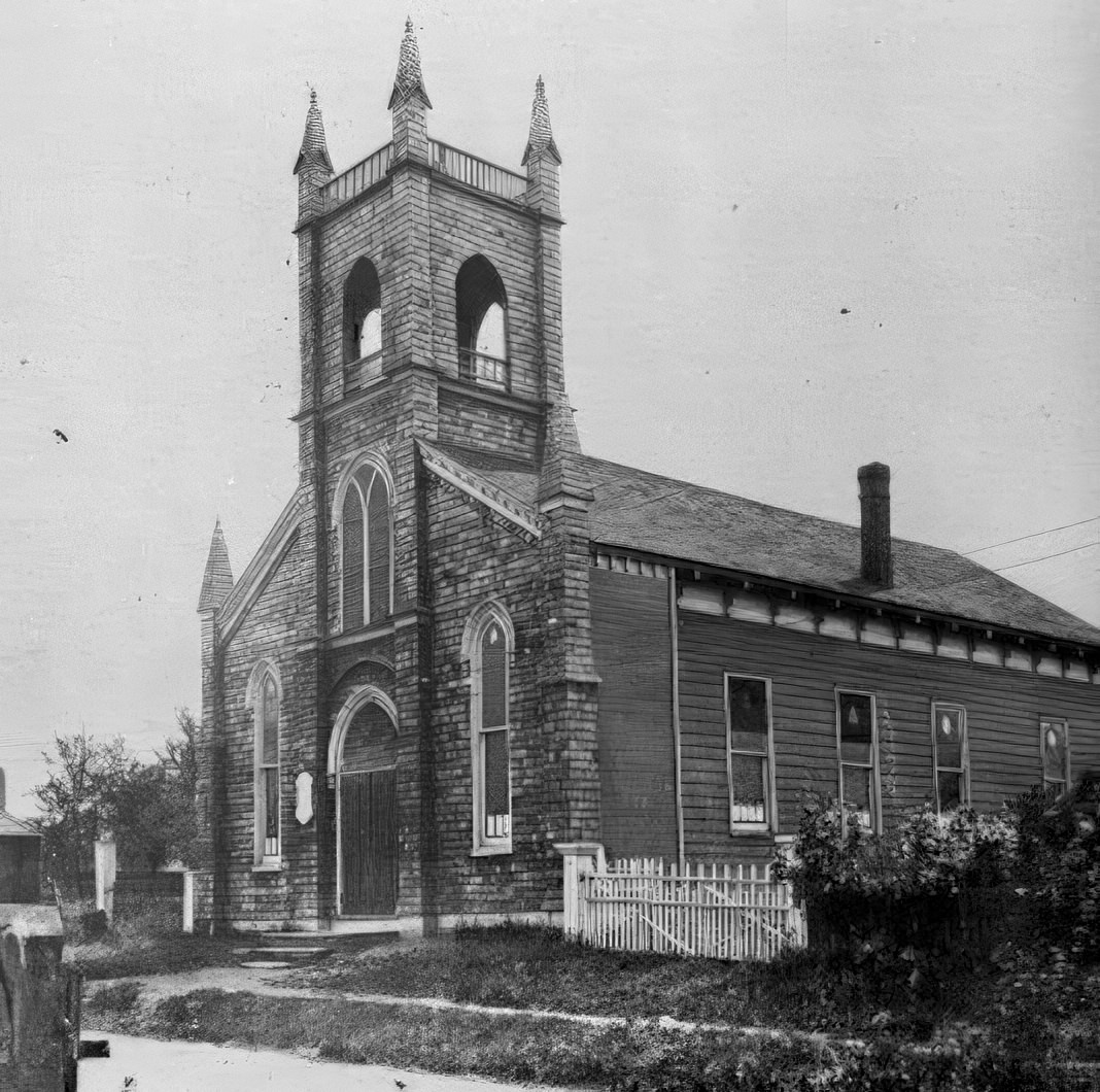
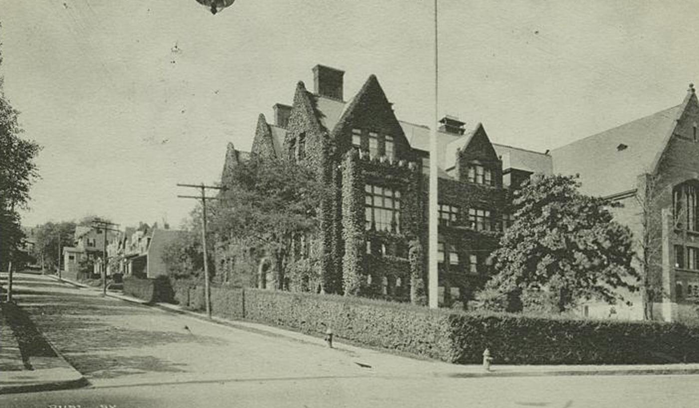
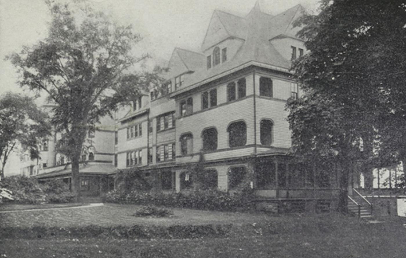
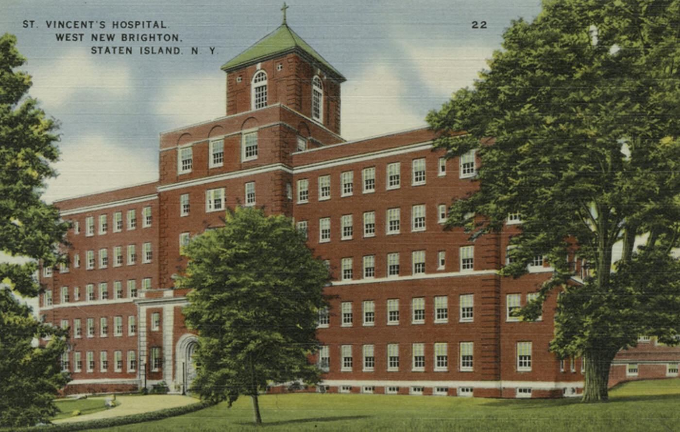
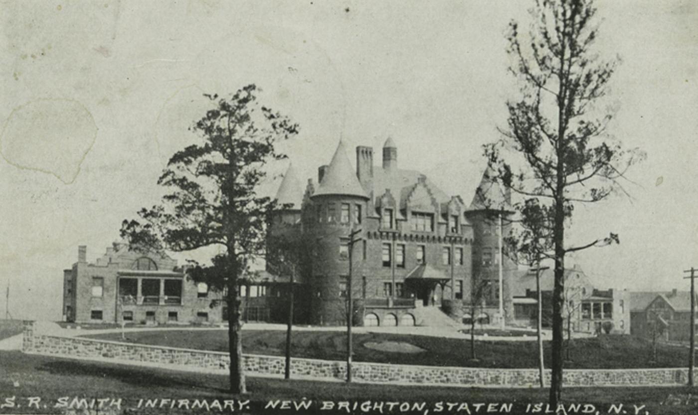
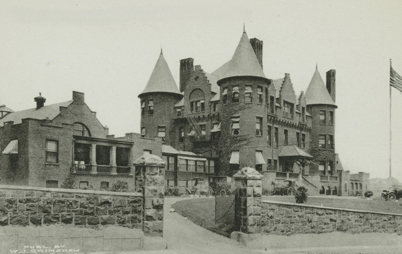
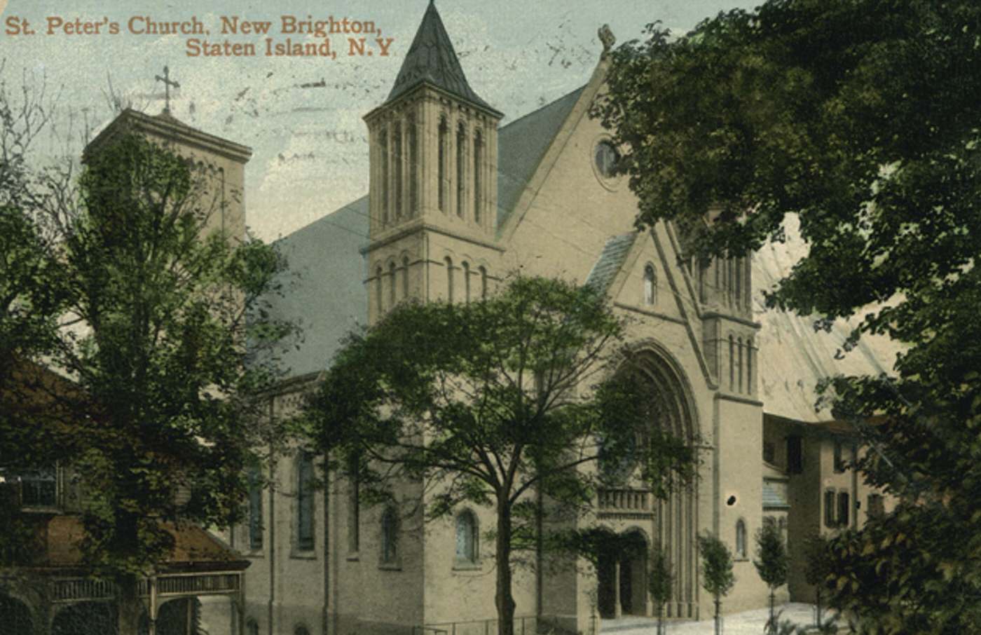
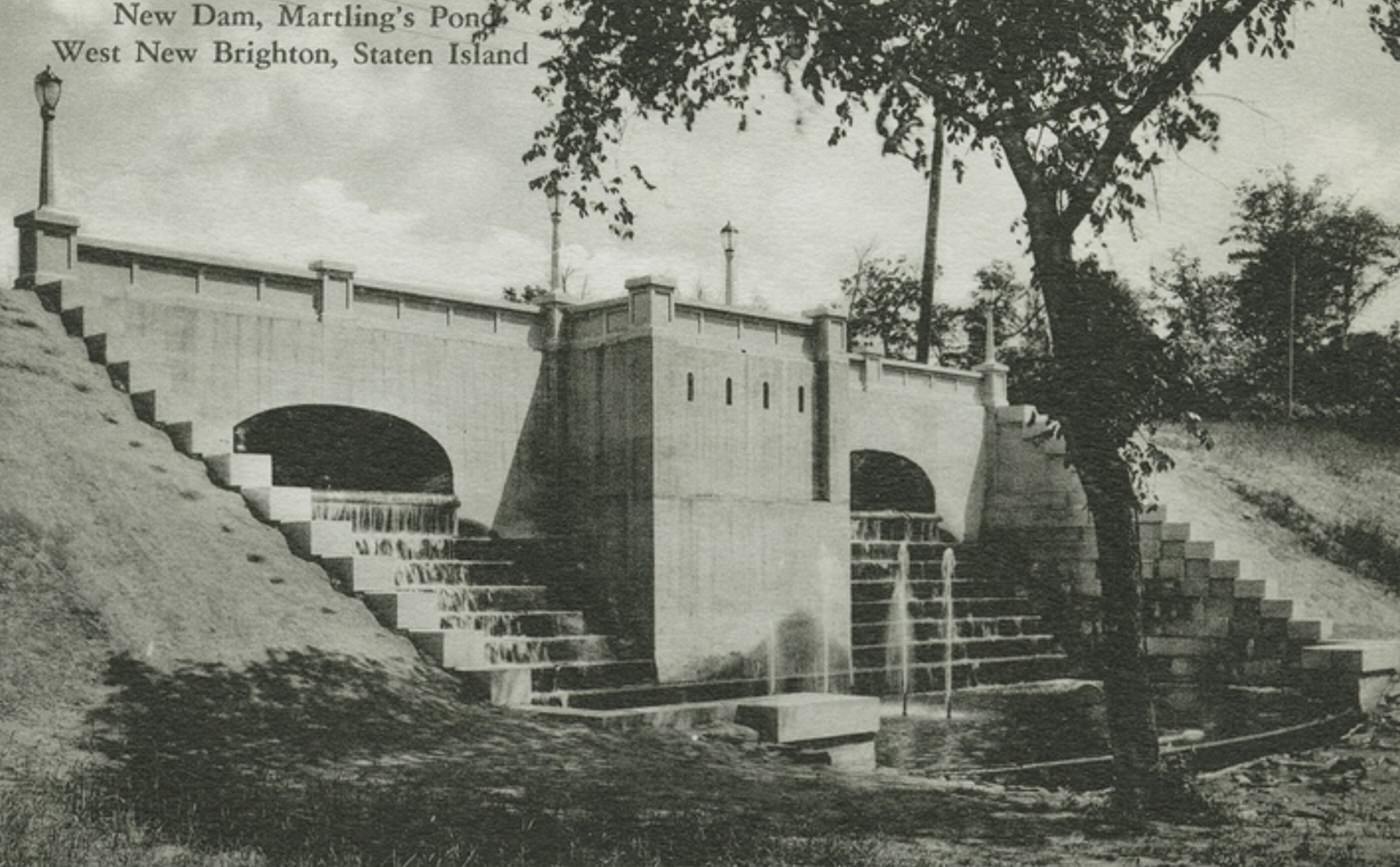
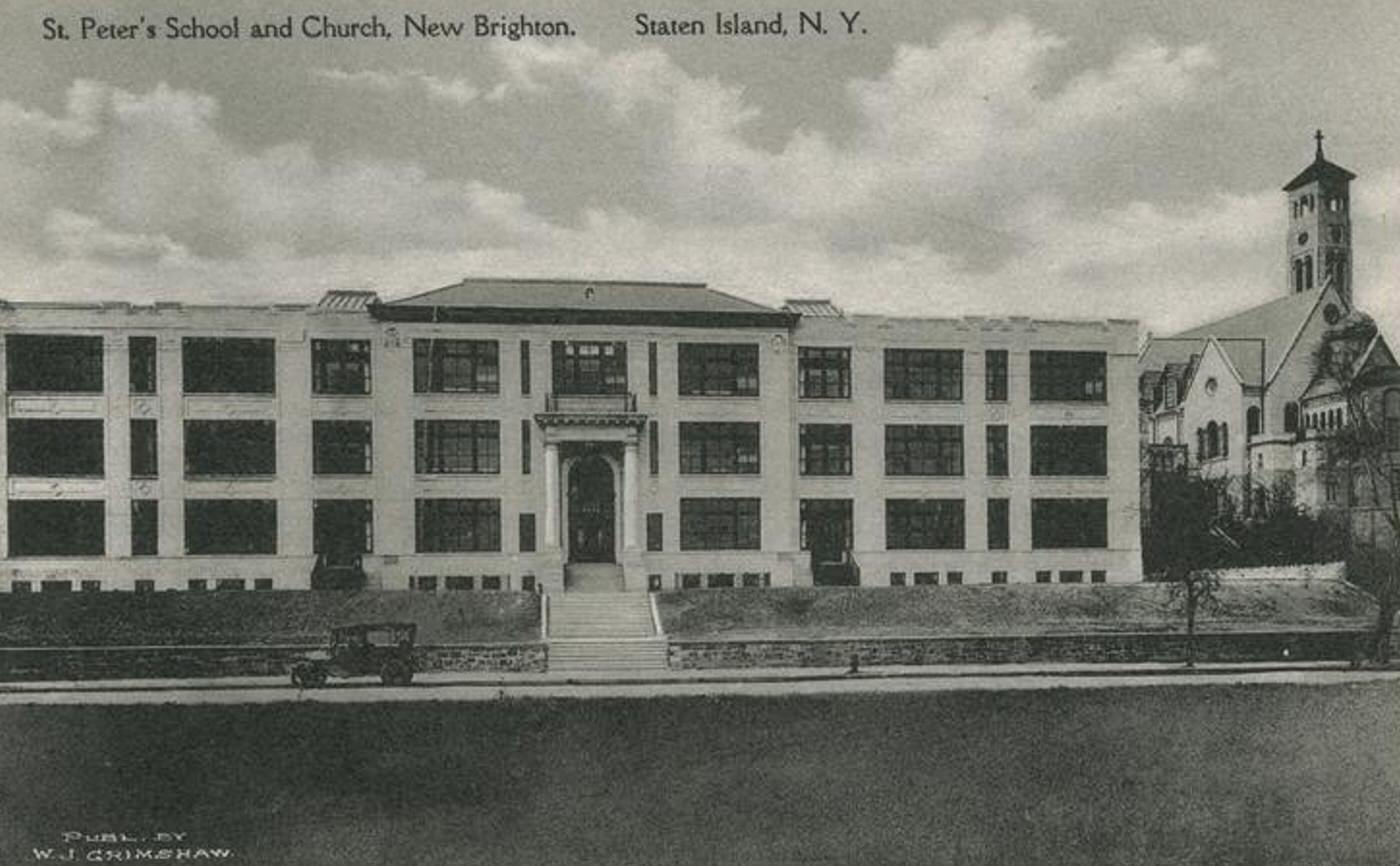
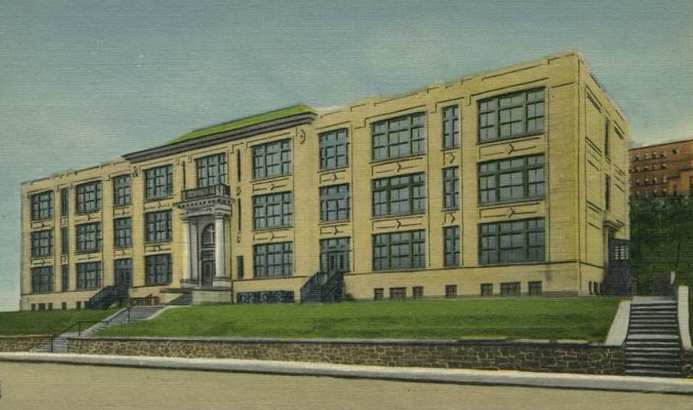
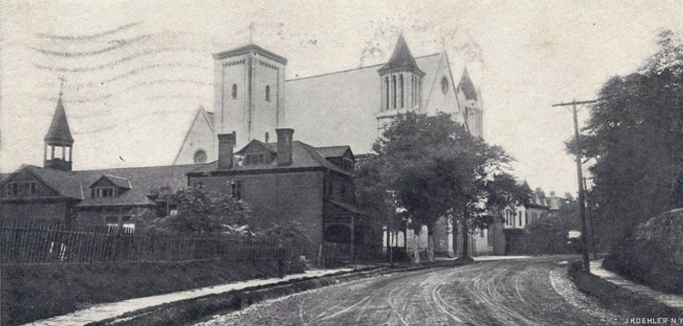
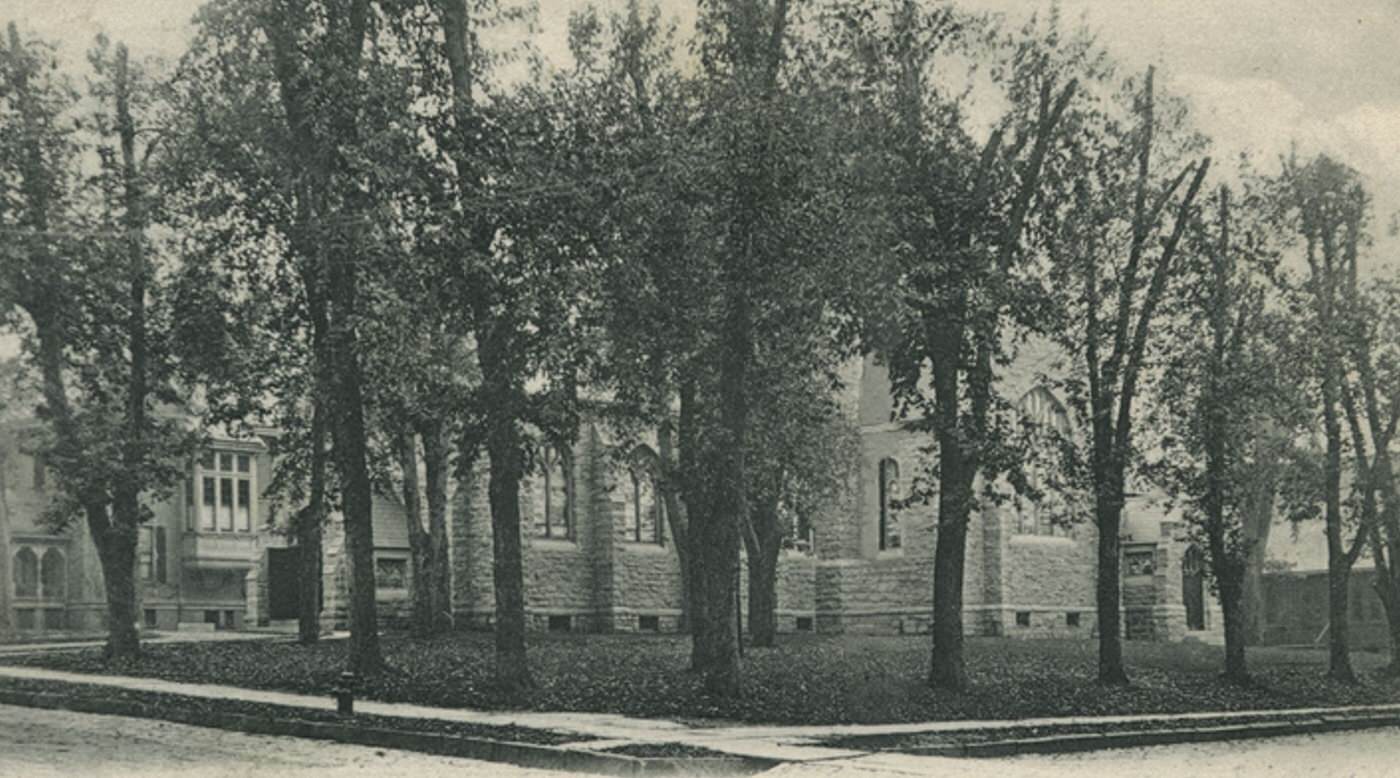
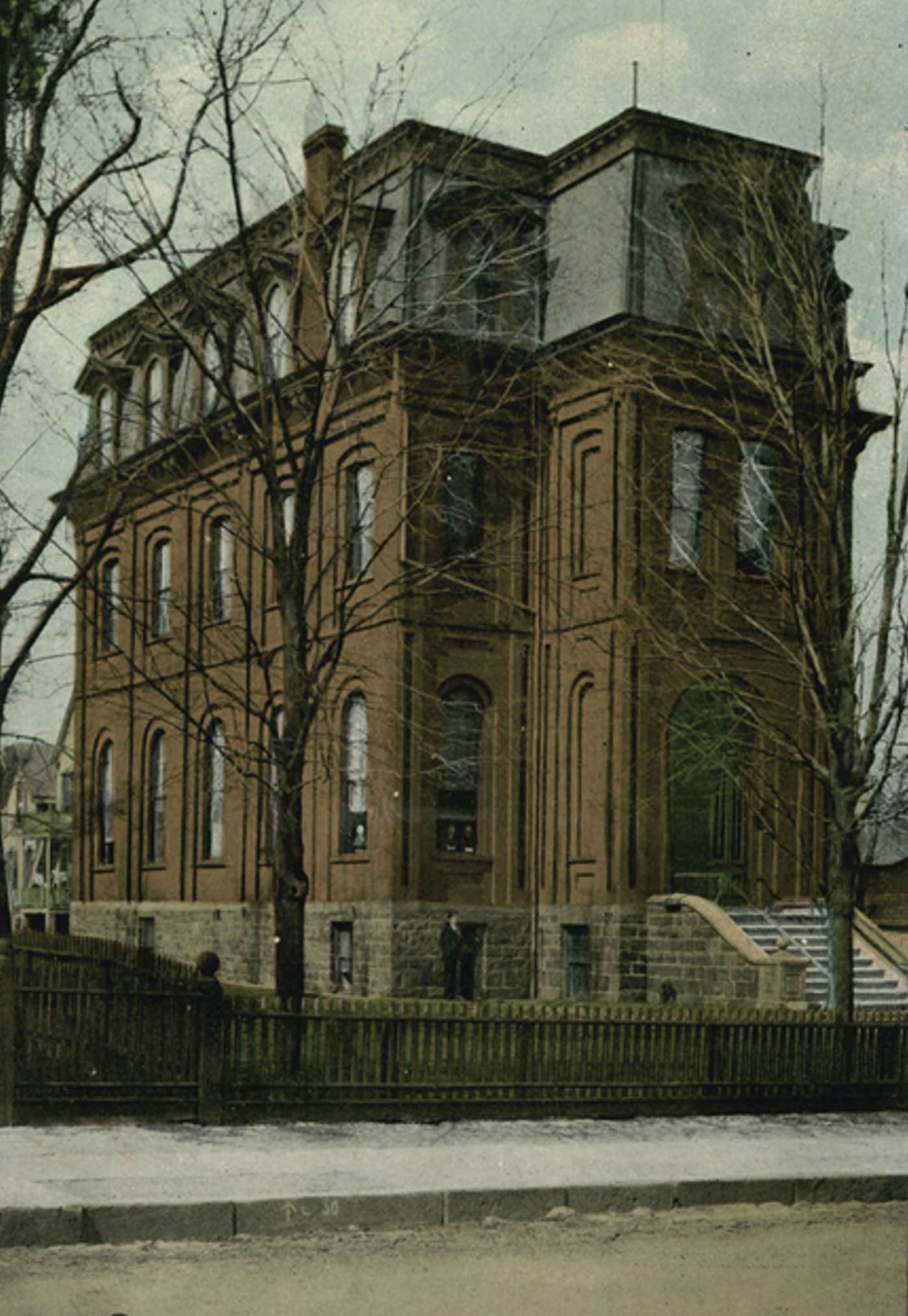
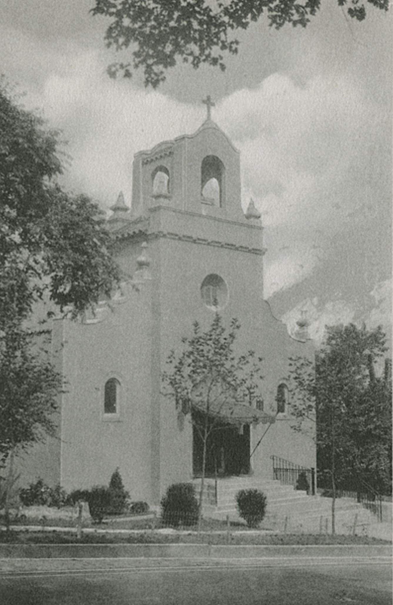
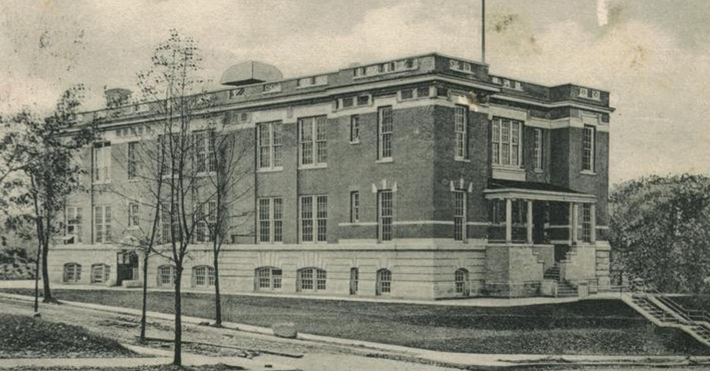
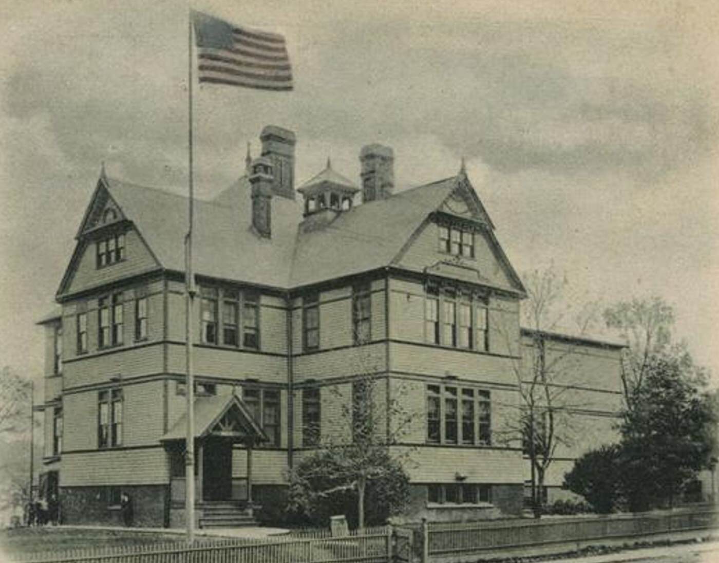
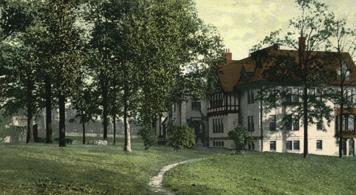
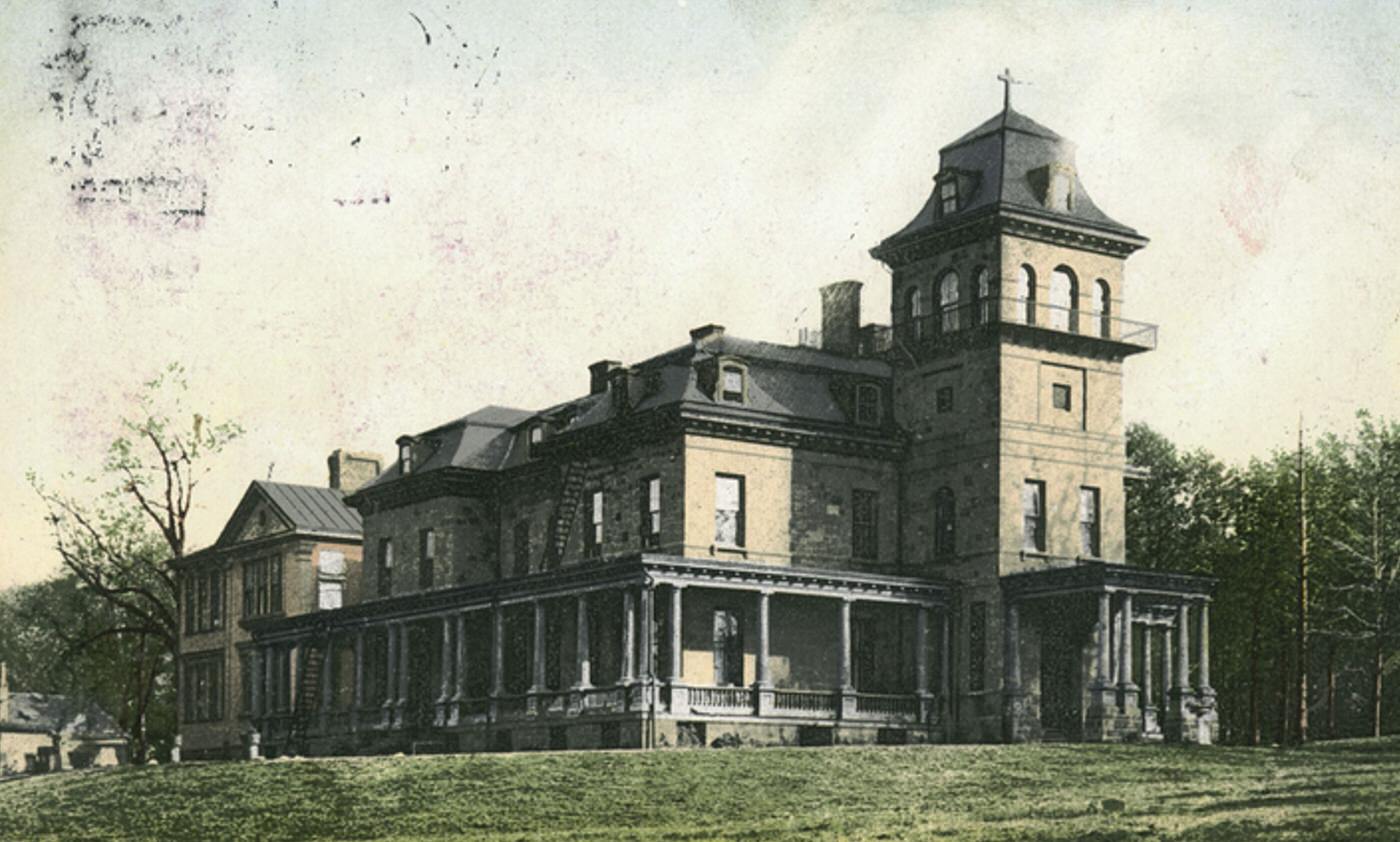
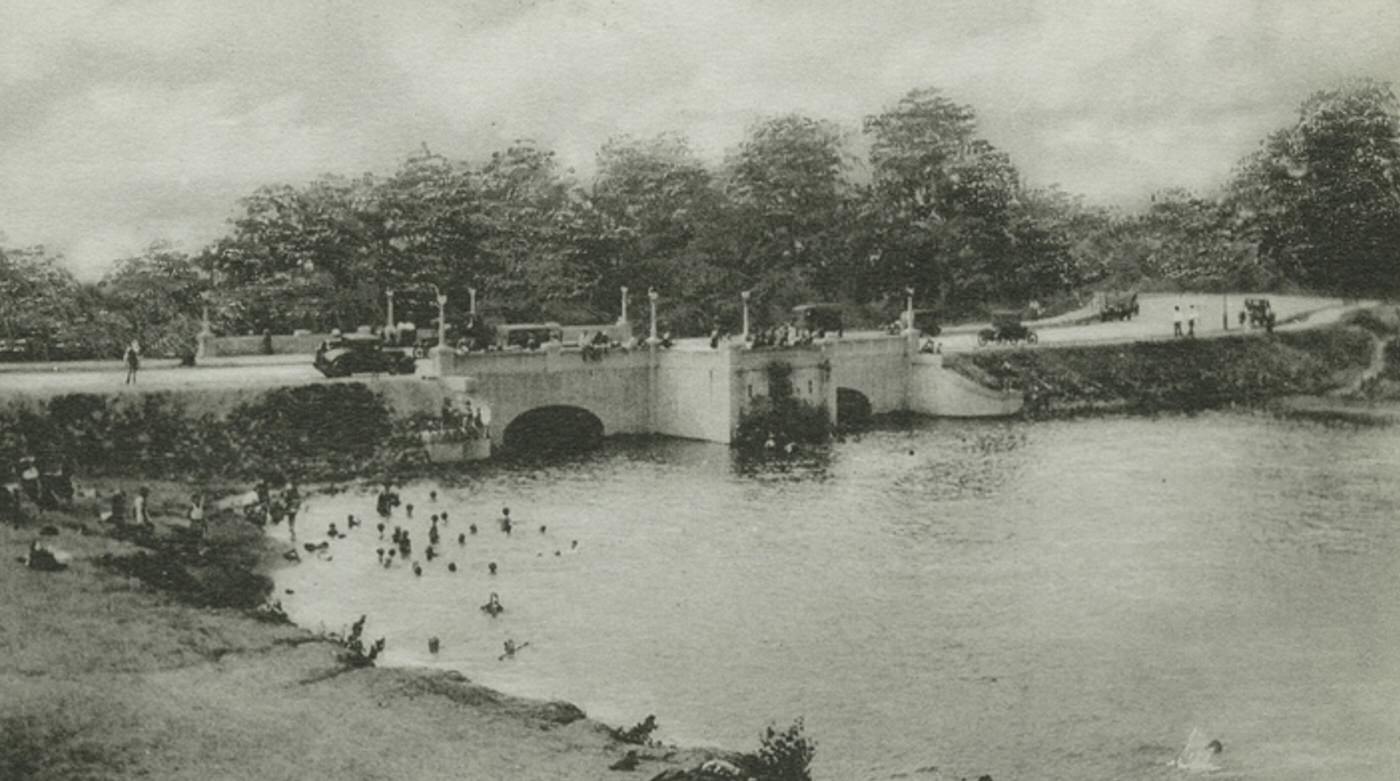
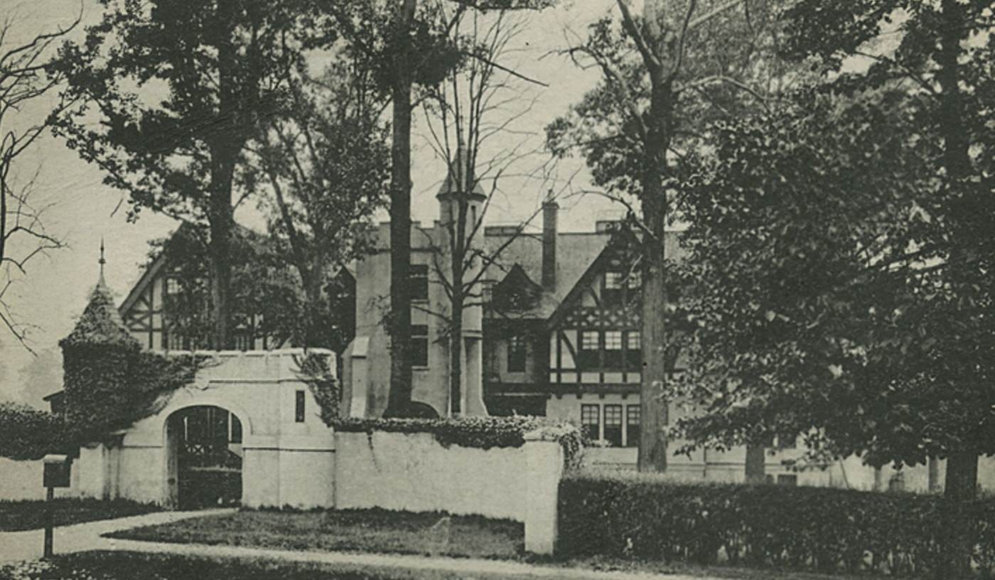
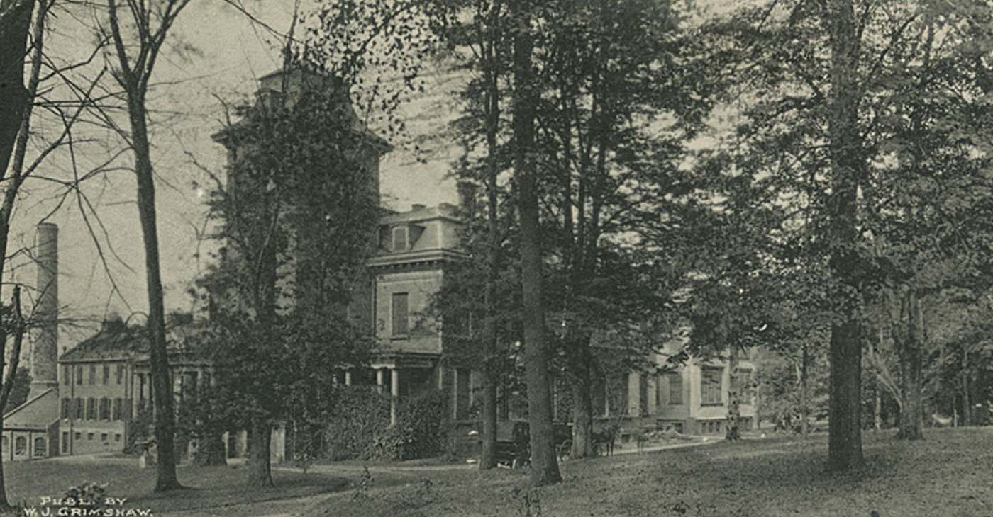
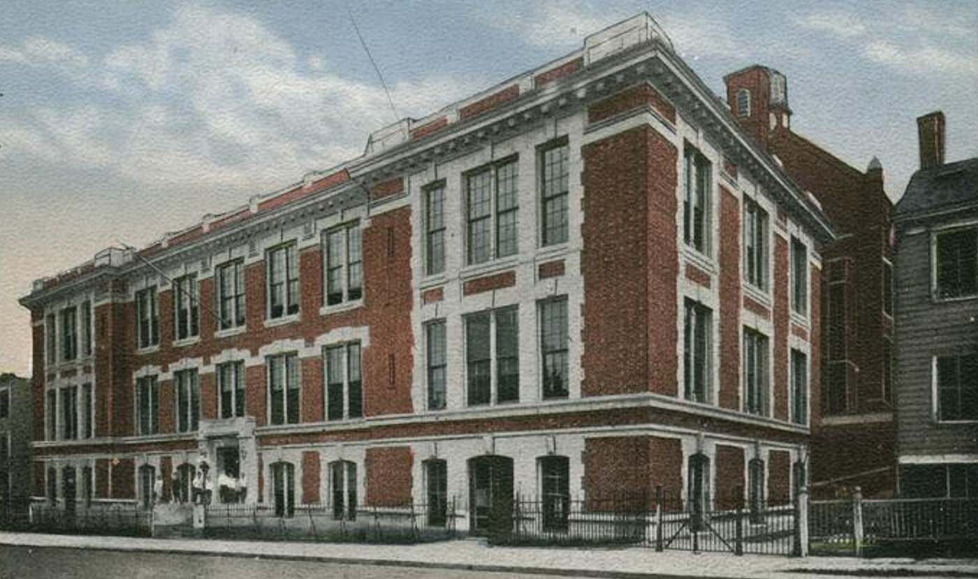
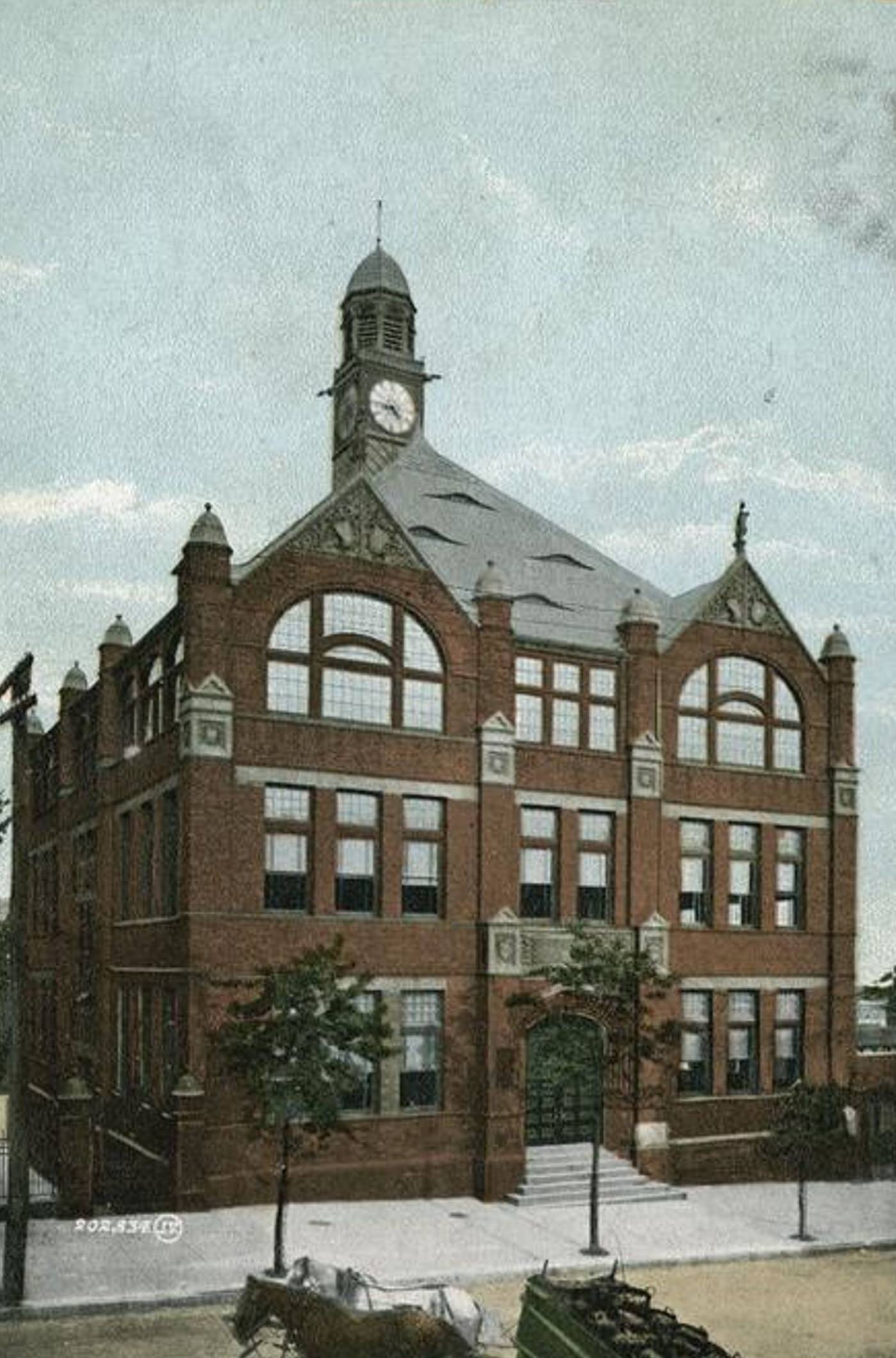
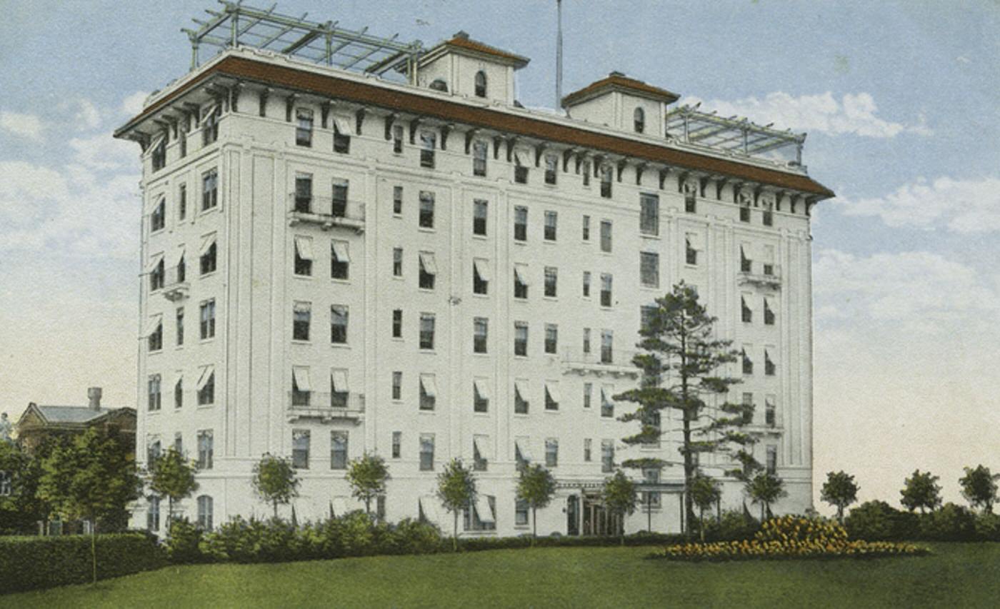
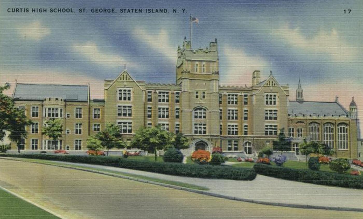
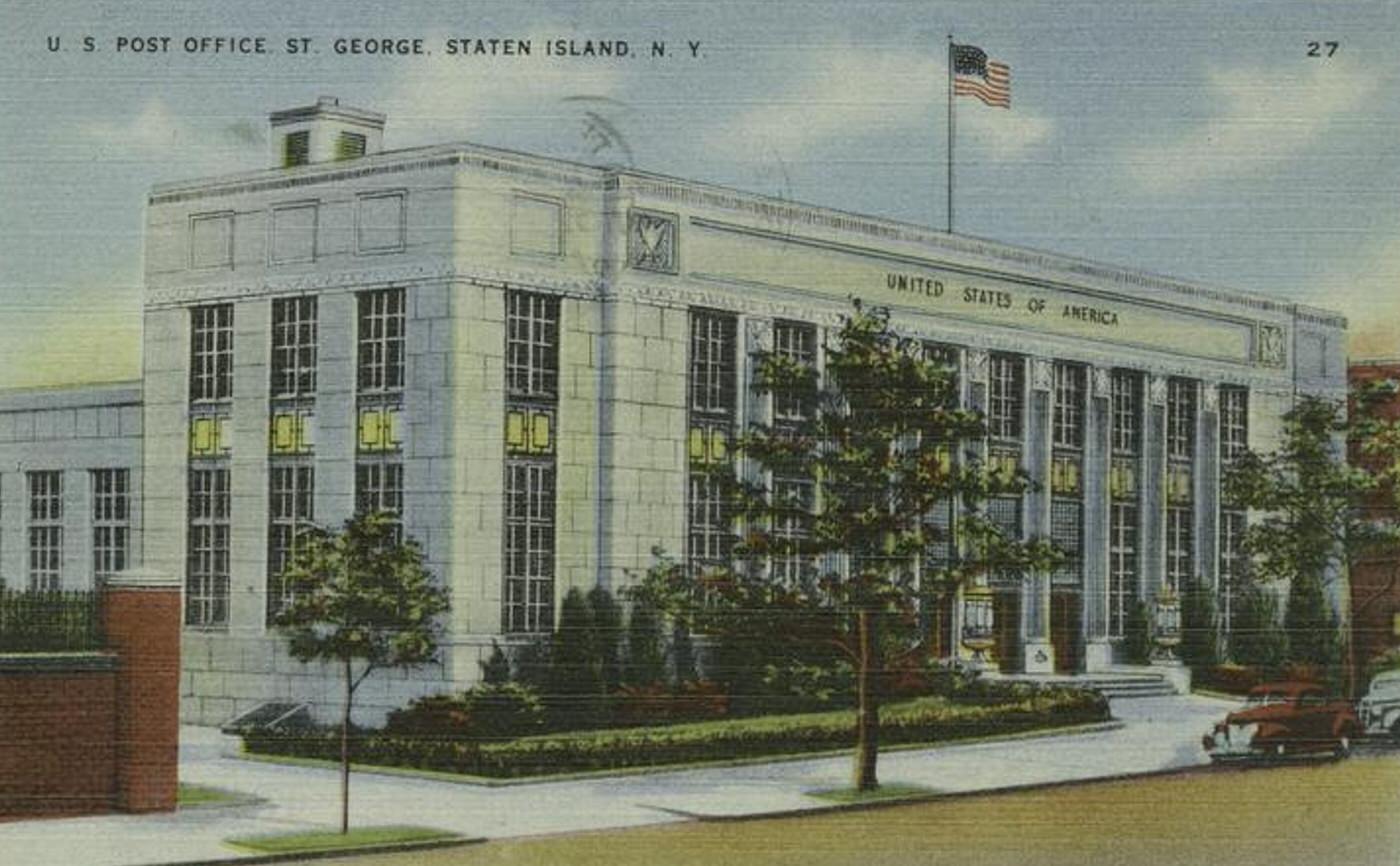
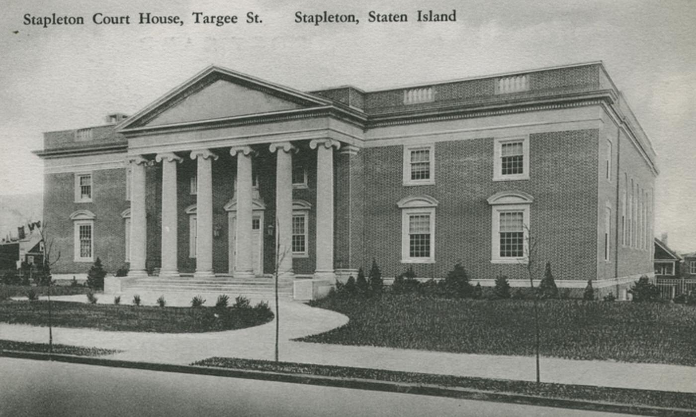
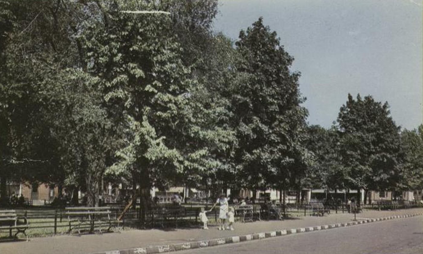
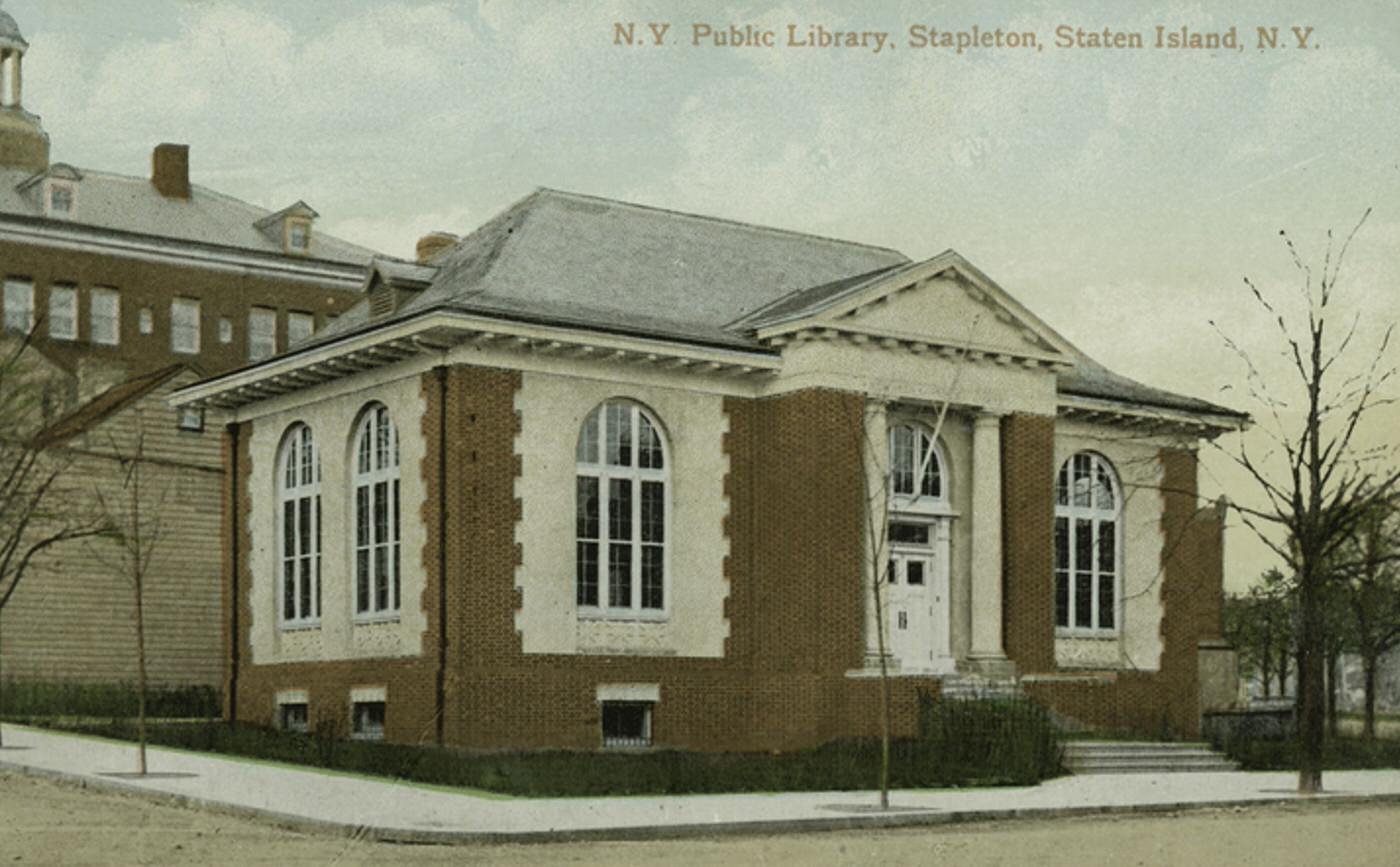
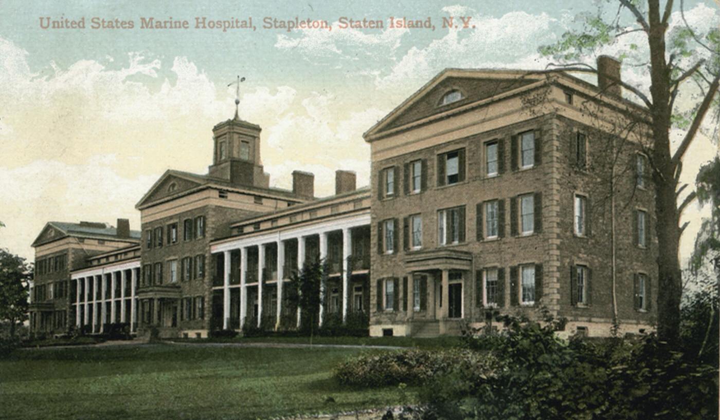
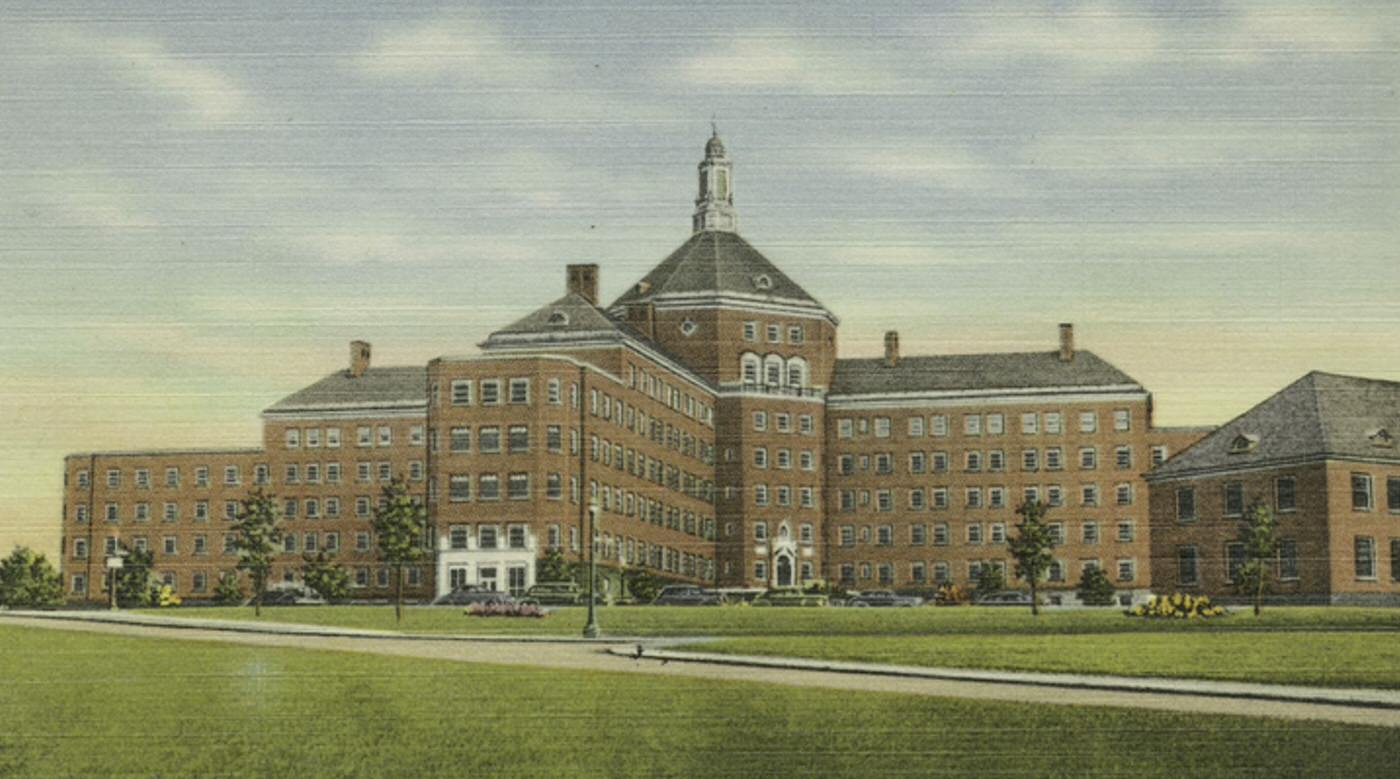
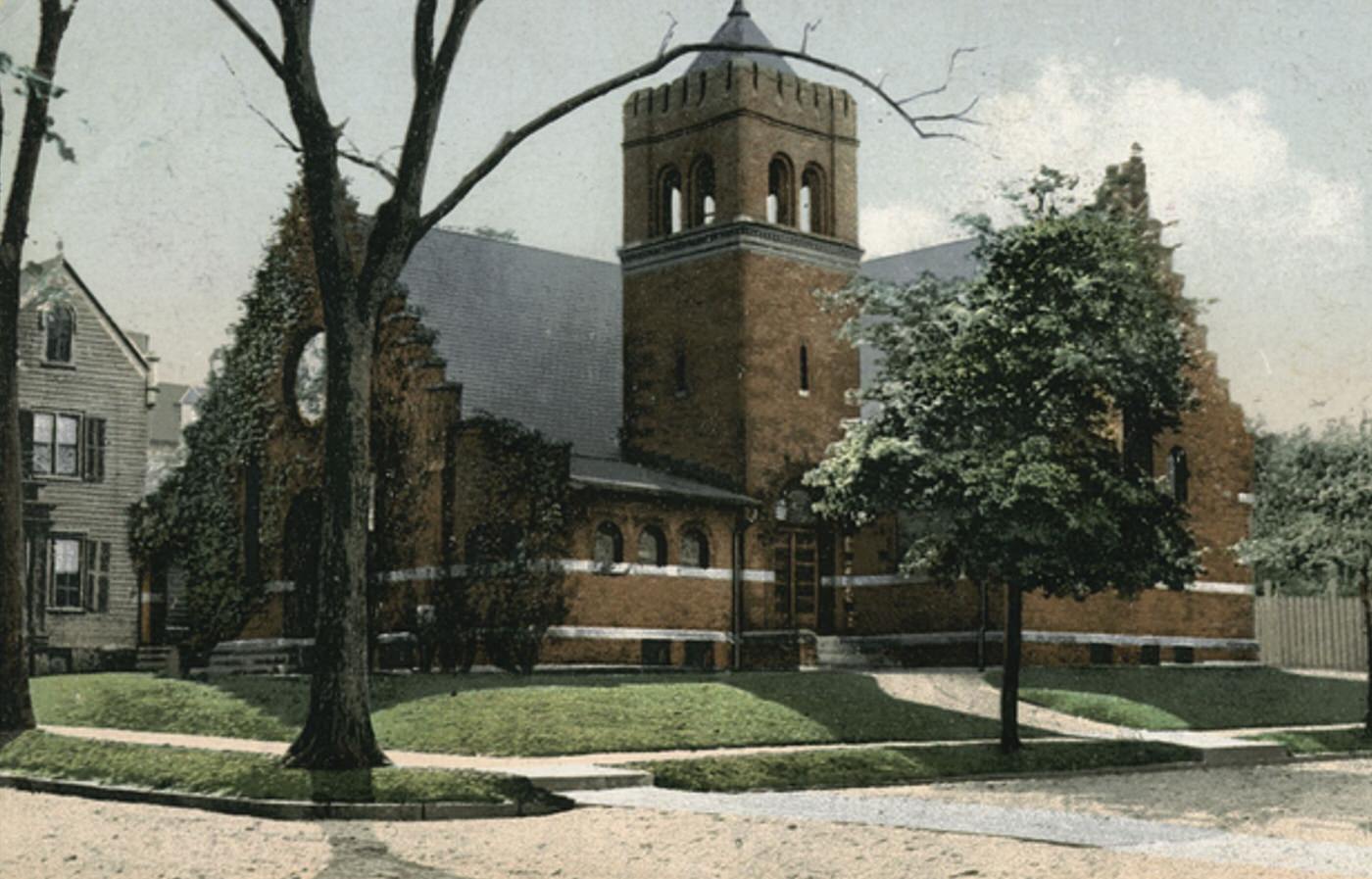
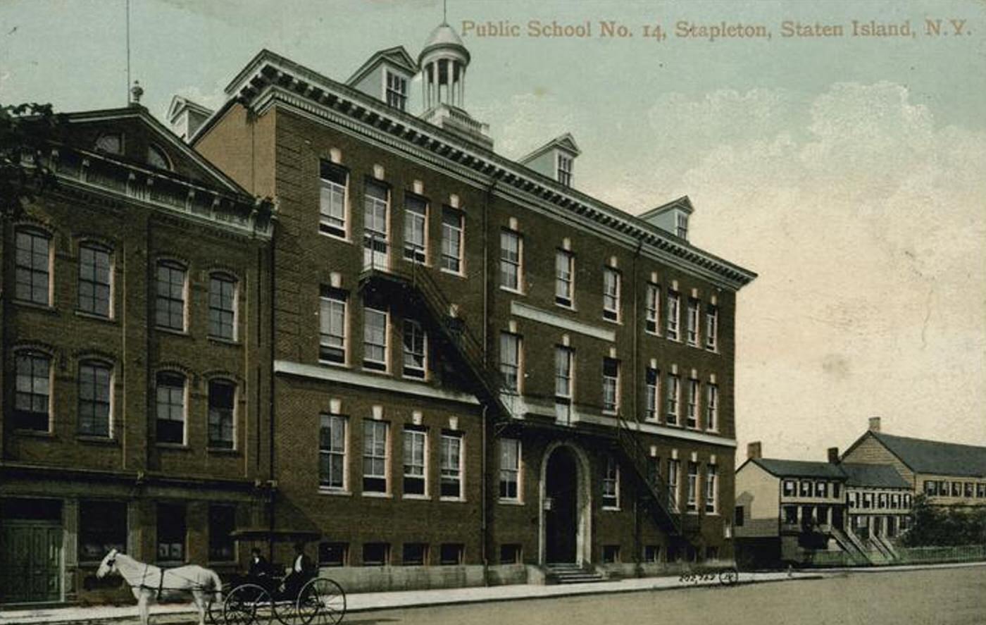
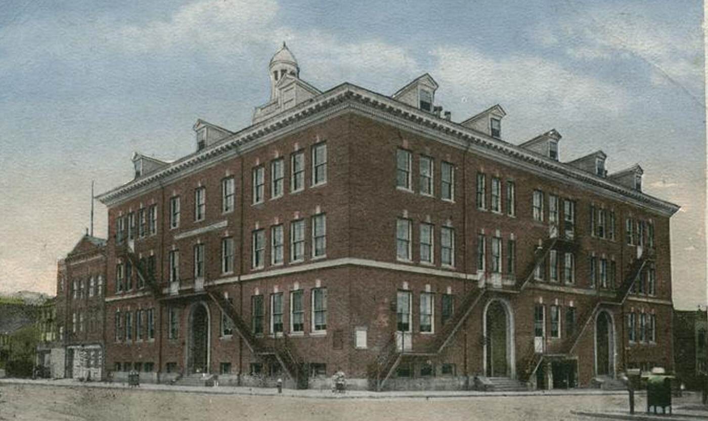
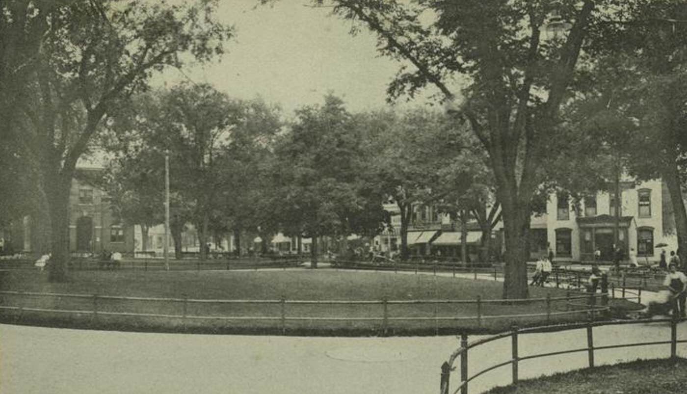
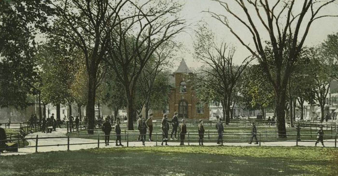
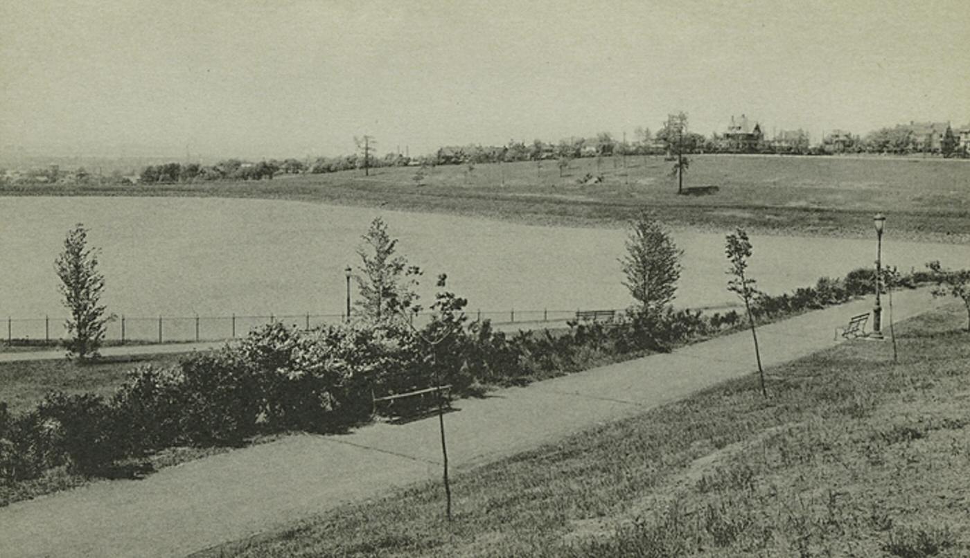
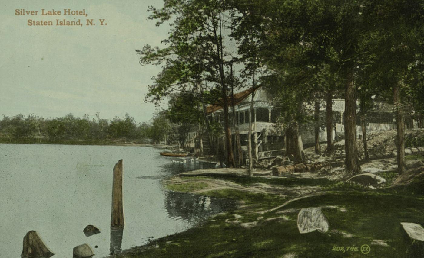
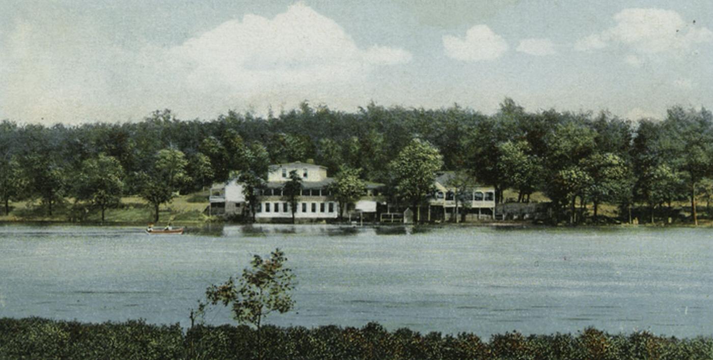
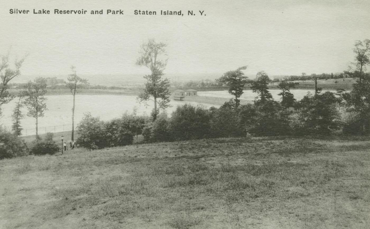
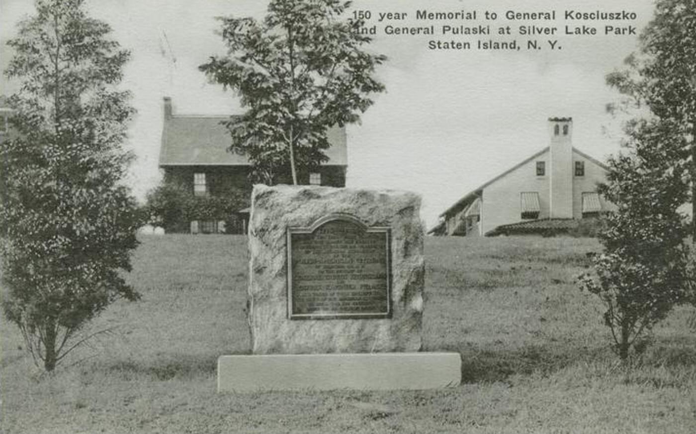
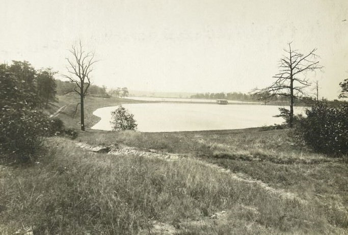
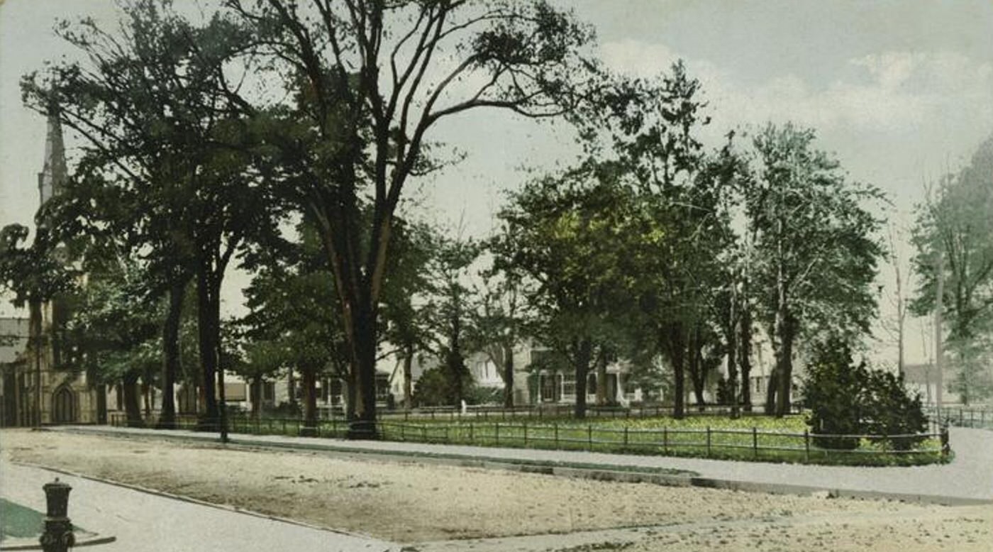
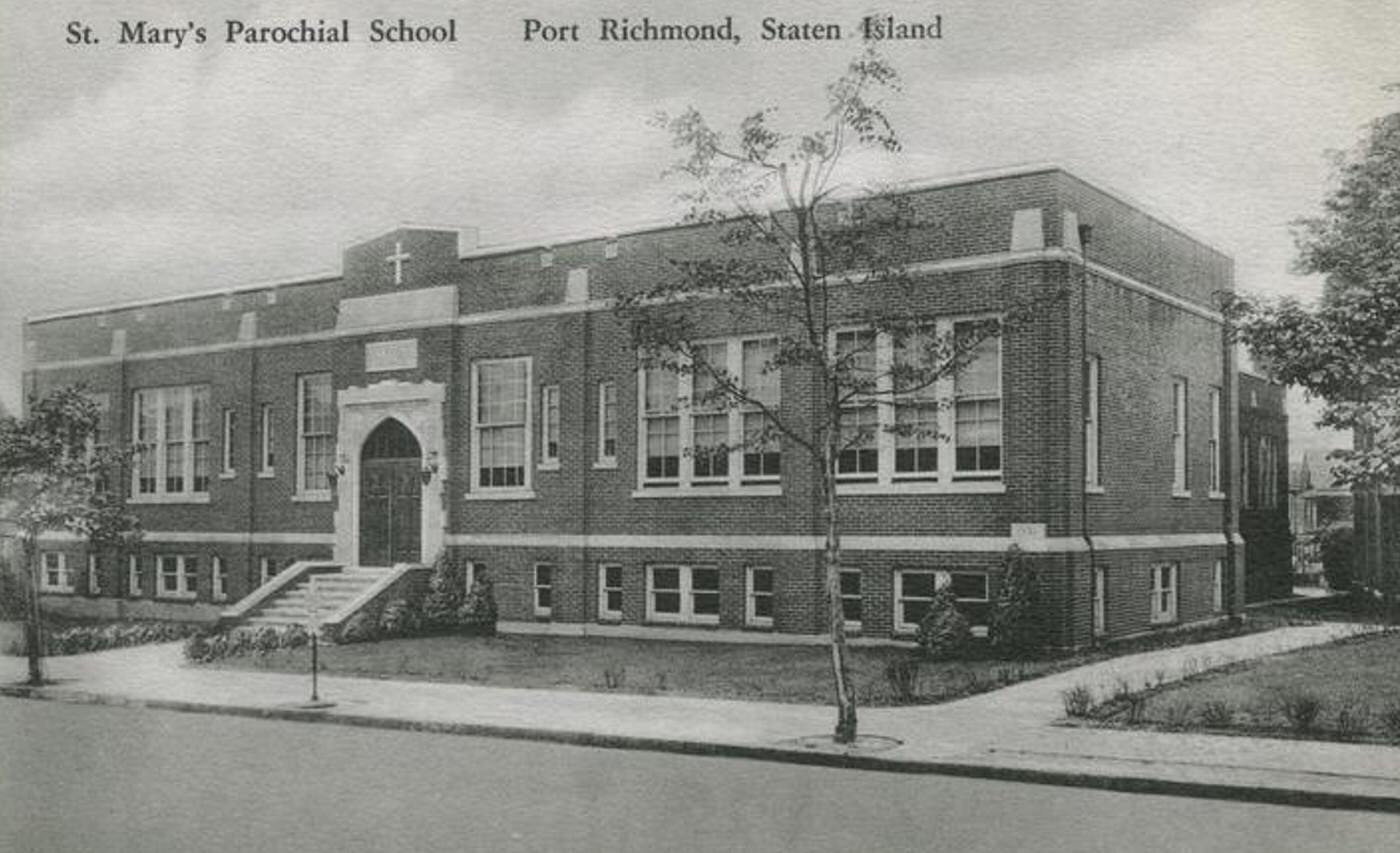
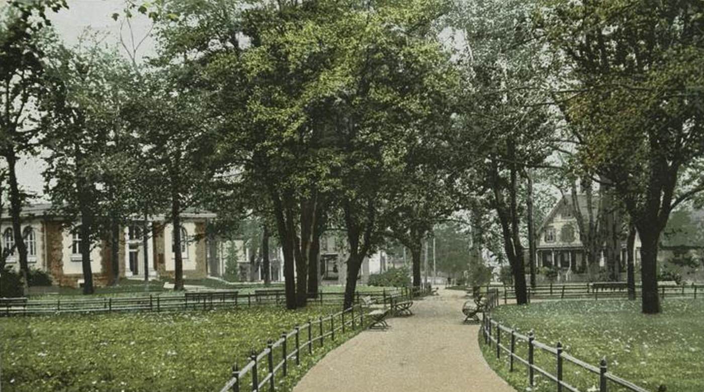
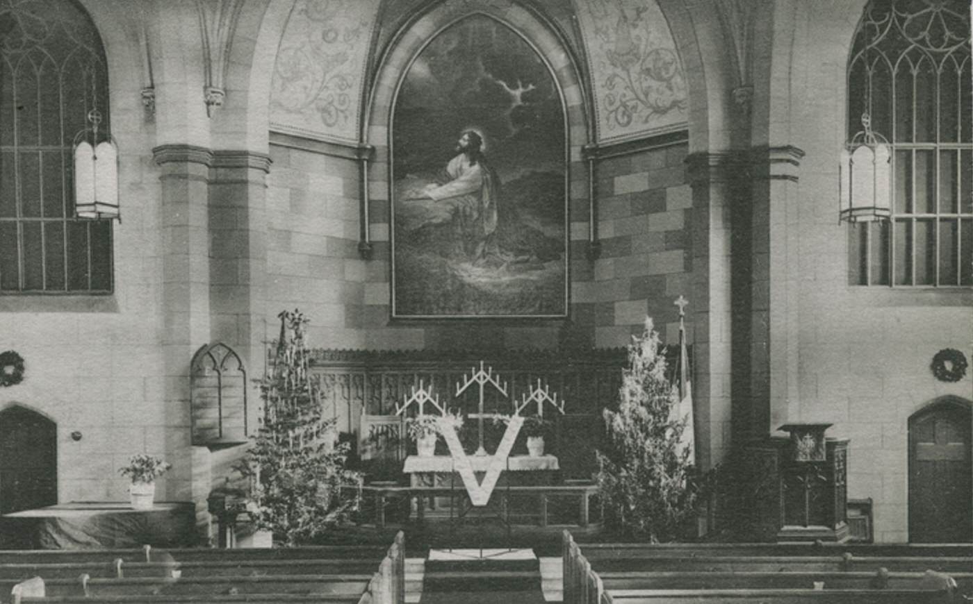
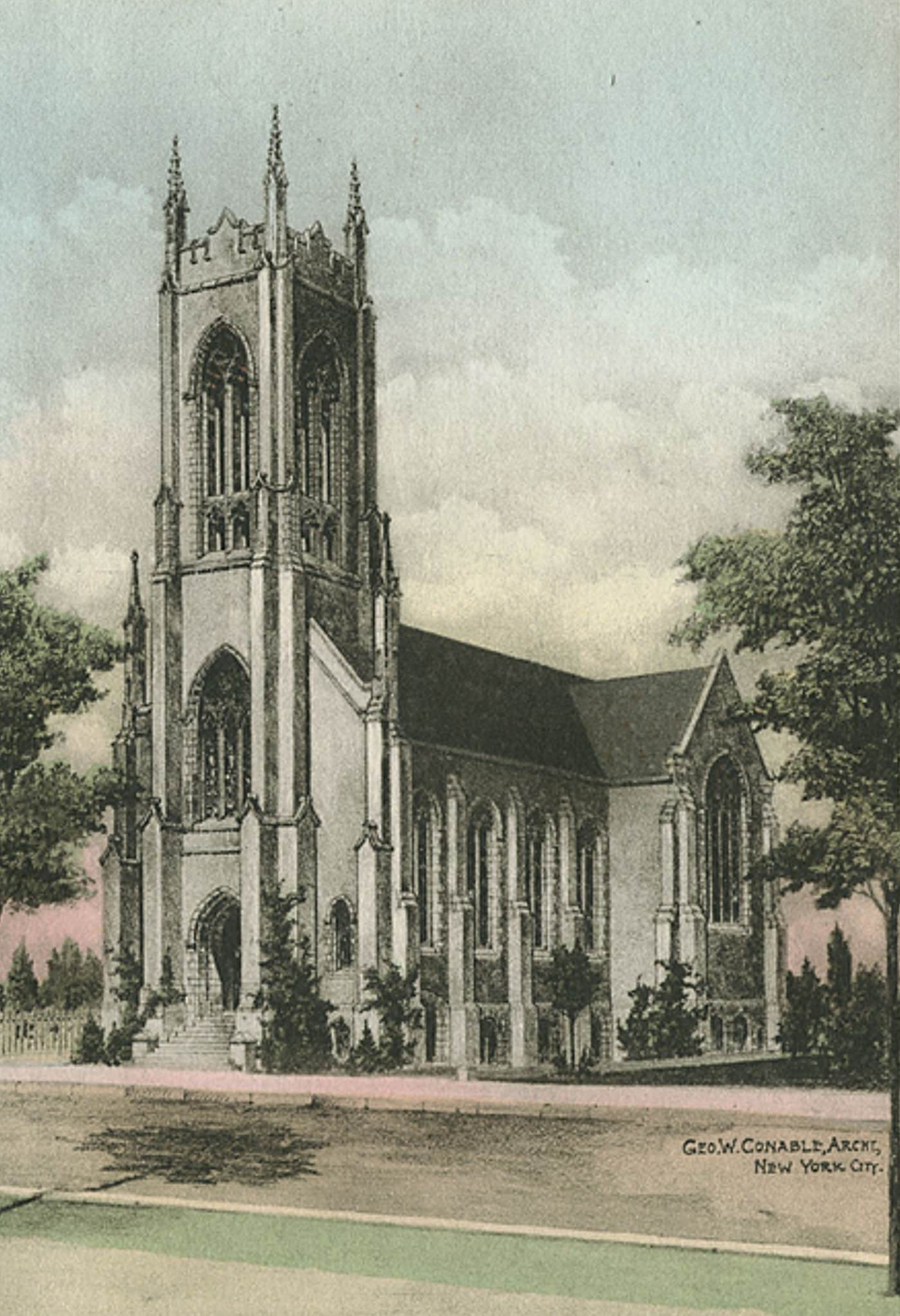
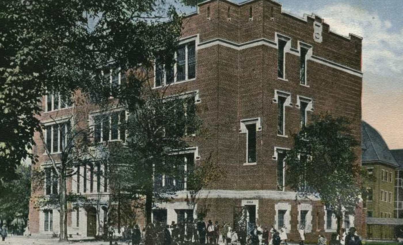
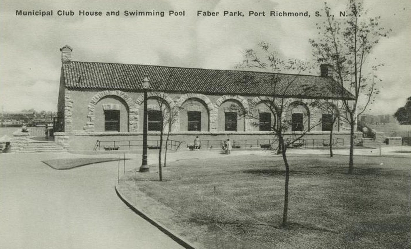
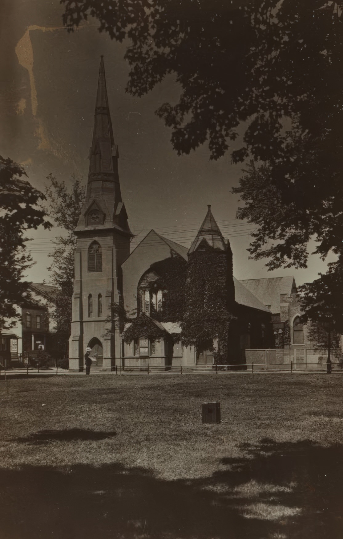
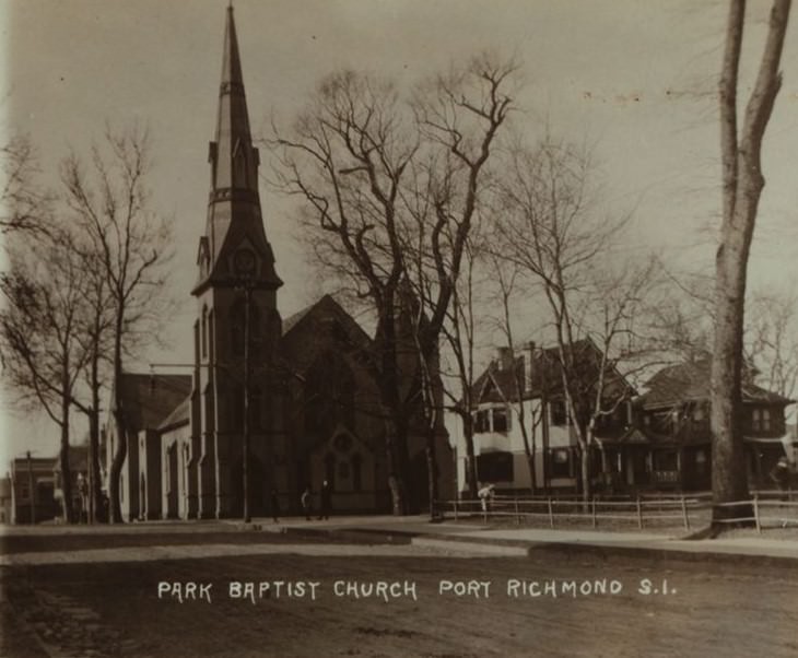
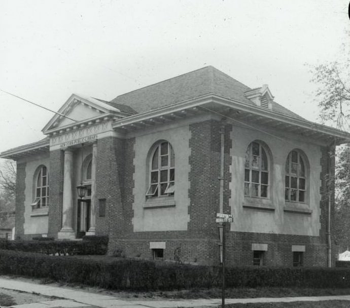
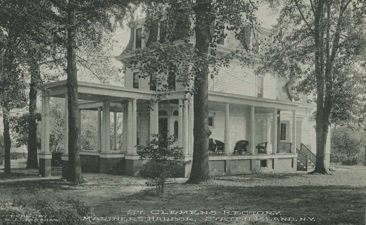
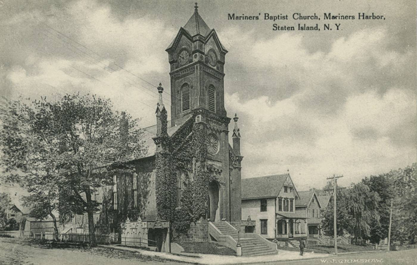
Numerous important institutions and landmarks were part of the North Shore landscape in the early 1900s. Sailors’ Snug Harbor in New Brighton provided a home for retired seamen on its extensive grounds filled with historic buildings. In St. George, the newly constructed Borough Hall and Richmond County Courthouse solidified the area’s role as the island’s administrative center. Silver Lake Park offered vital green space and contained a major reservoir for the island’s water supply. Major hospitals like St. Vincent’s (later Richmond University Medical Center) and secondary schools like Curtis High School (opened 1904) served the large community, alongside many established churches of various denominations.


GIPHY App Key not set. Please check settings