in

New York City Through the Lens of Harold Mayer: A Glimpse of the 1960s to 1980s

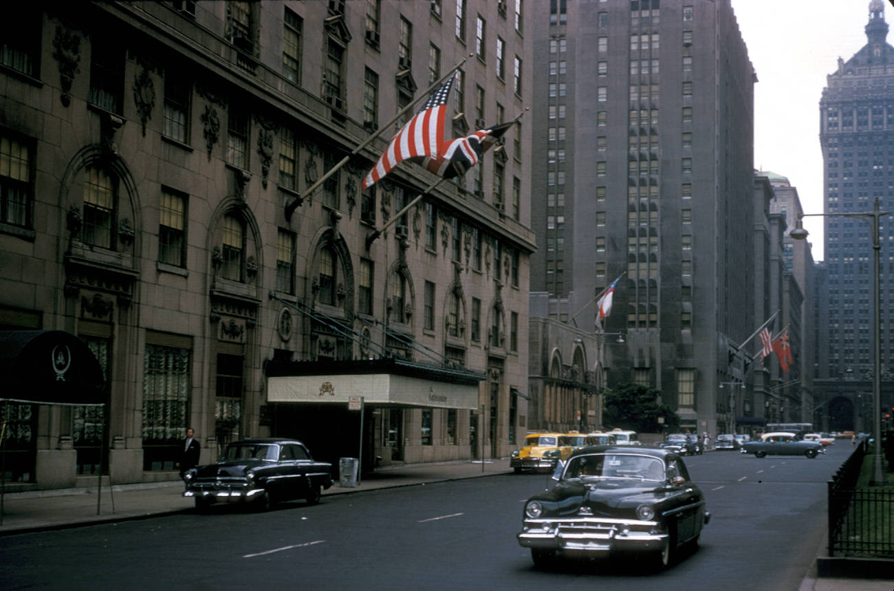
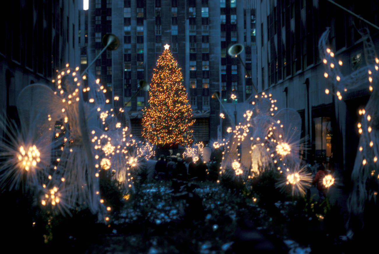
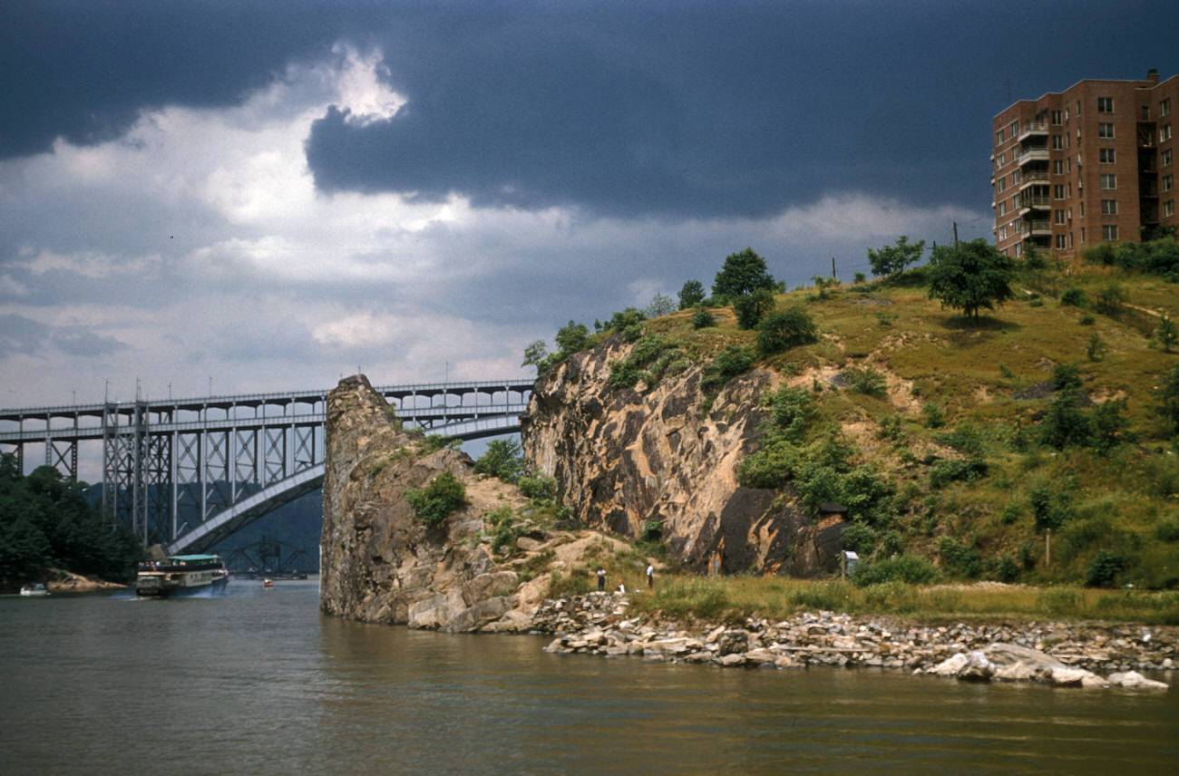
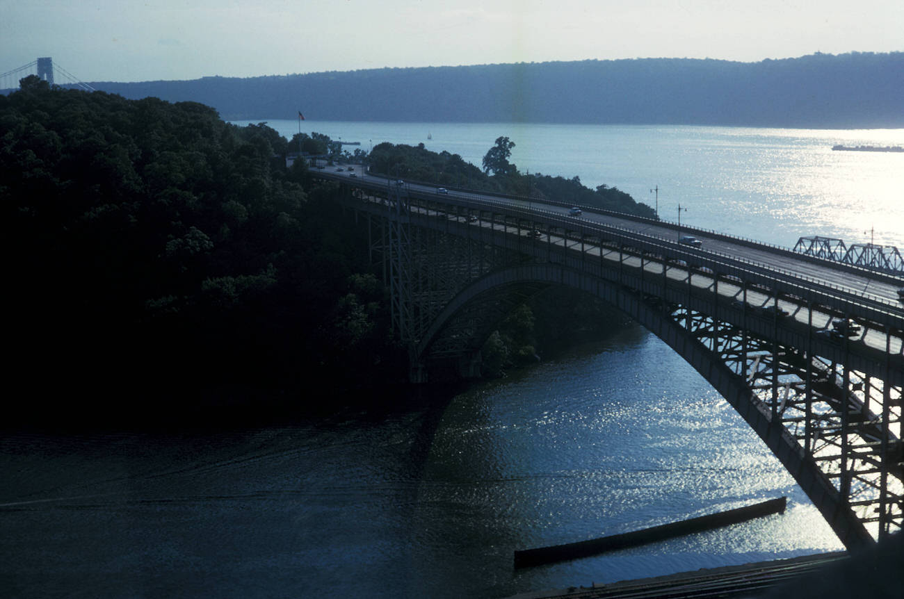
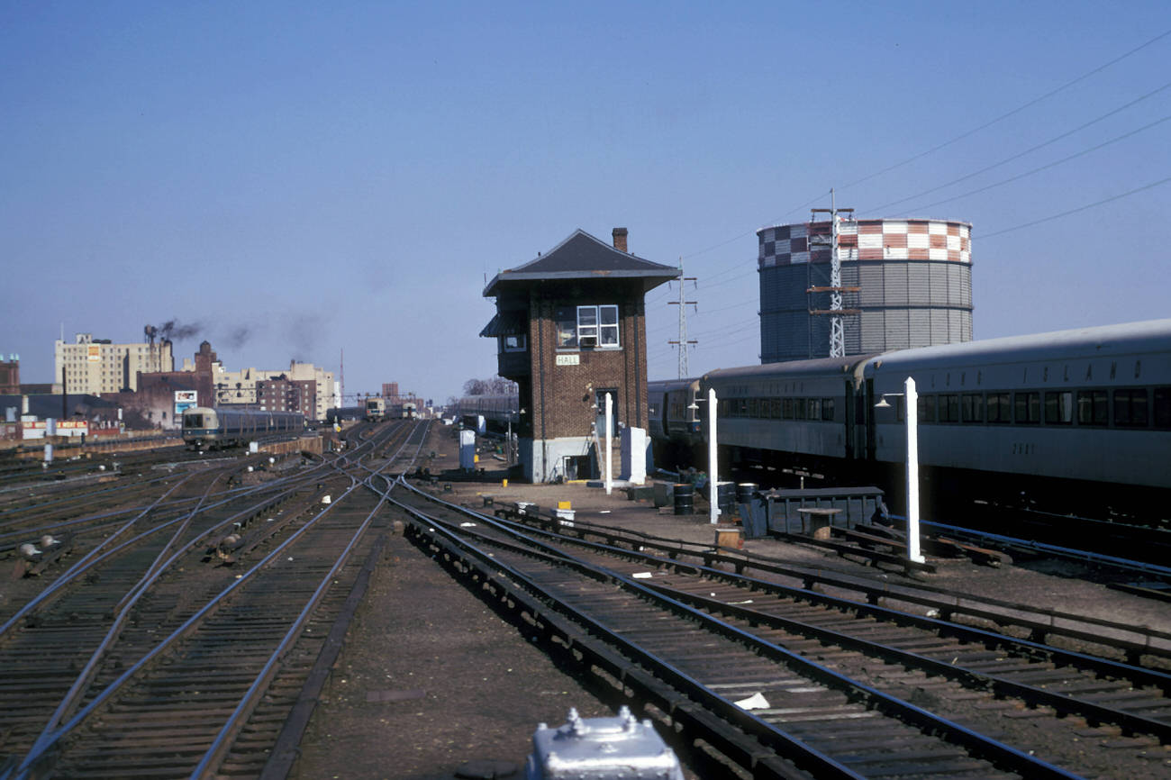
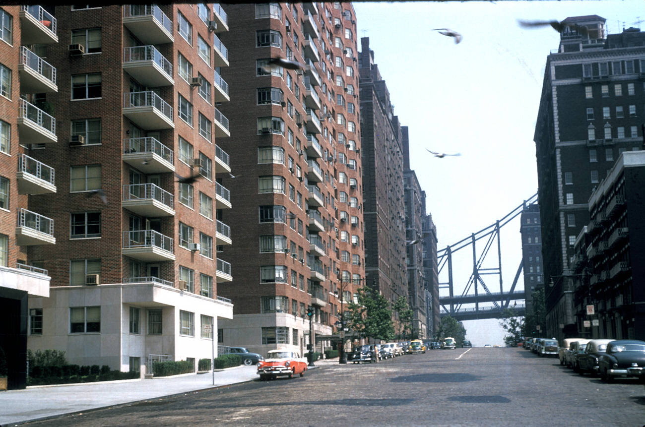
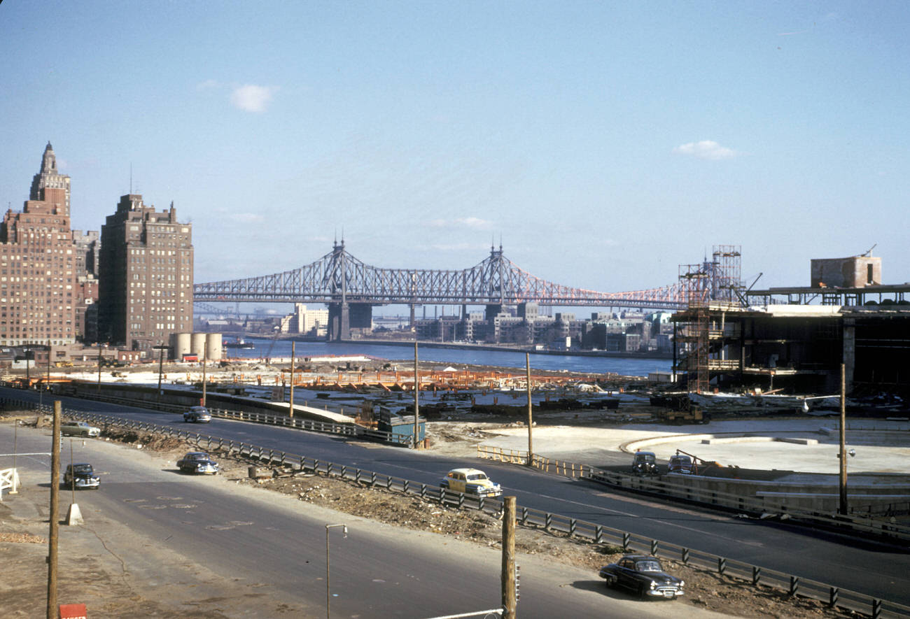
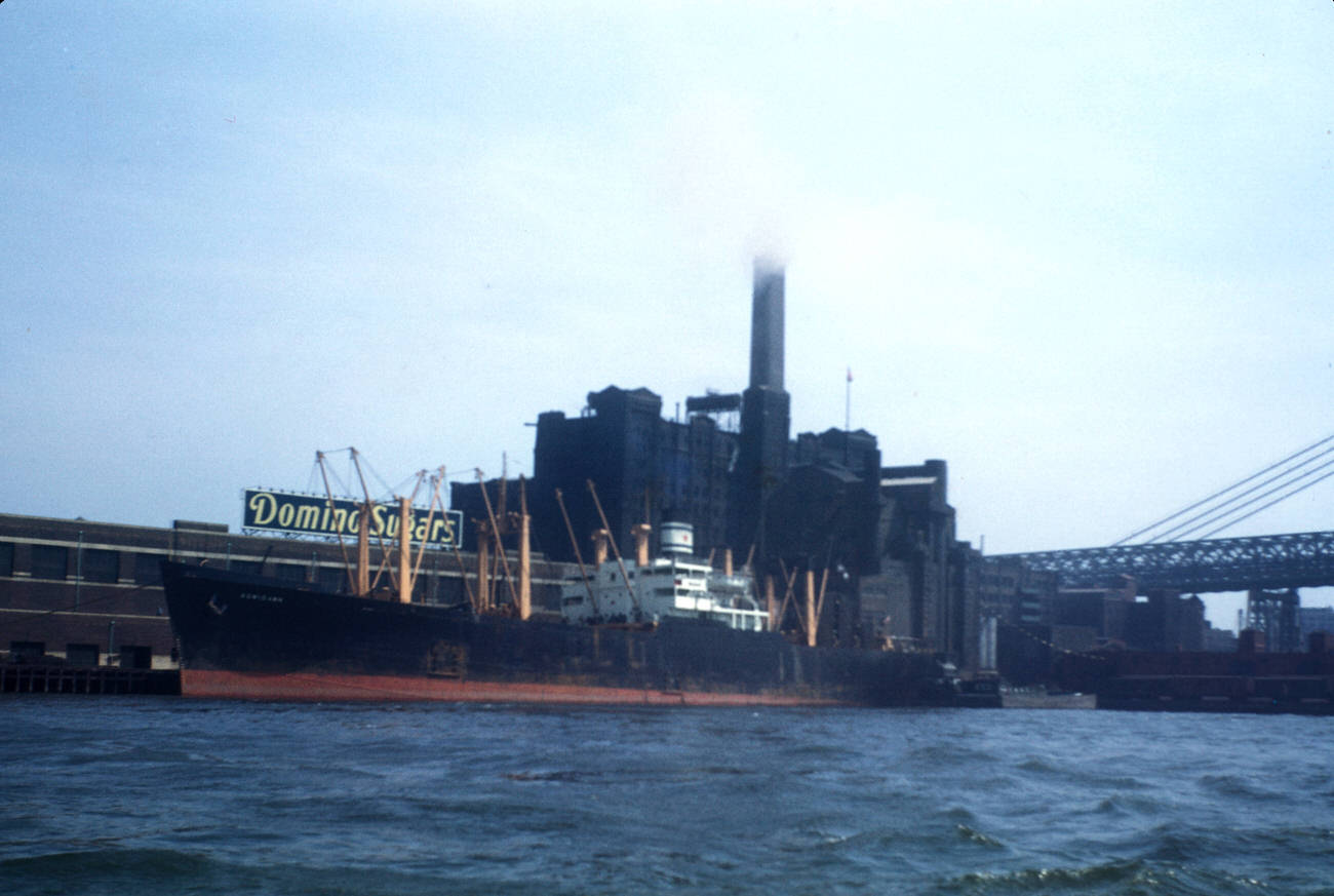
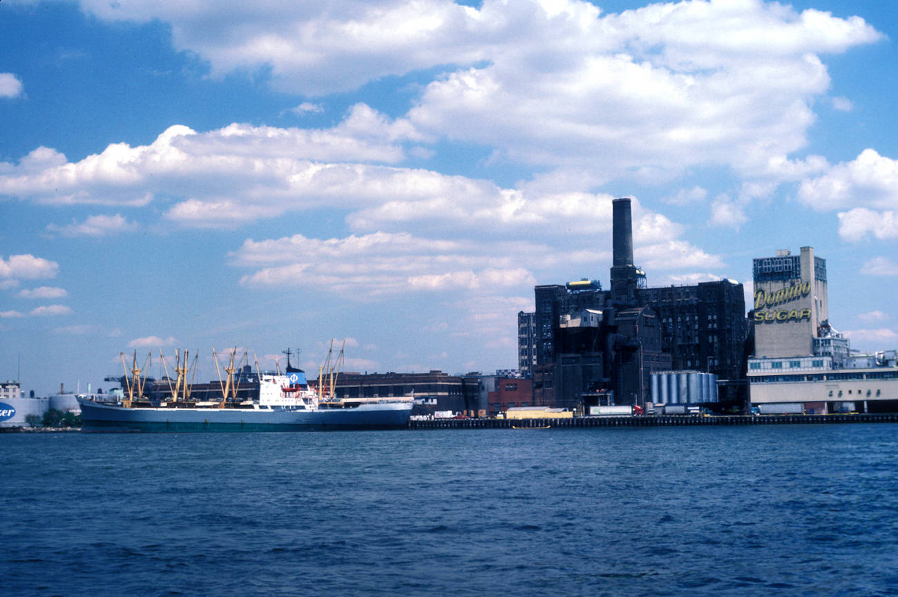
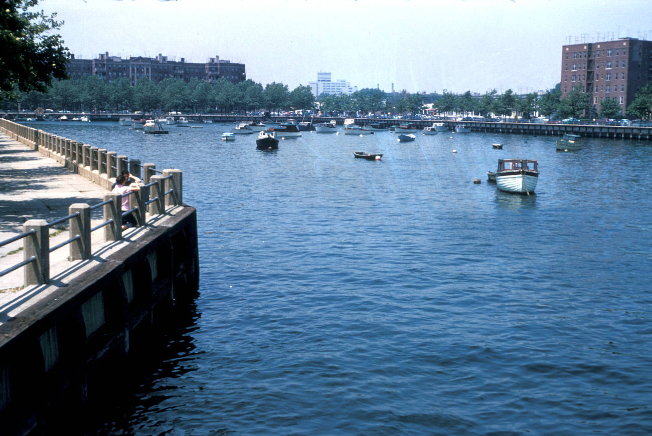
Harold Mayer was not just a geographer; he was an observer of urban life. Through his camera, he captured New York City from the 1960s to the 1980s, documenting a city in constant motion. Mayer’s photographs, taken in vivid Kodachrome, offer a window into an era of urban transformation.

A City in Motion: Streets, Buildings, and People

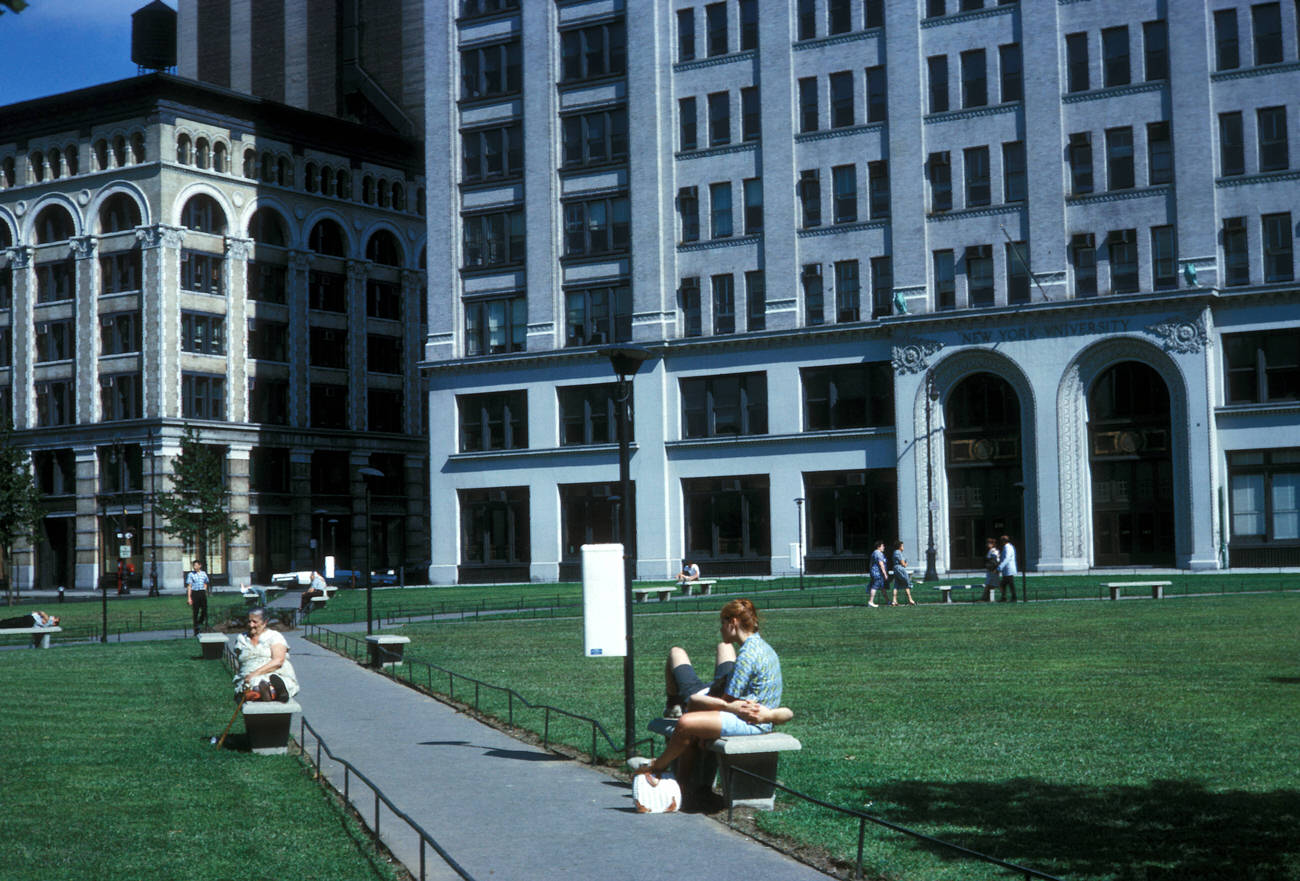
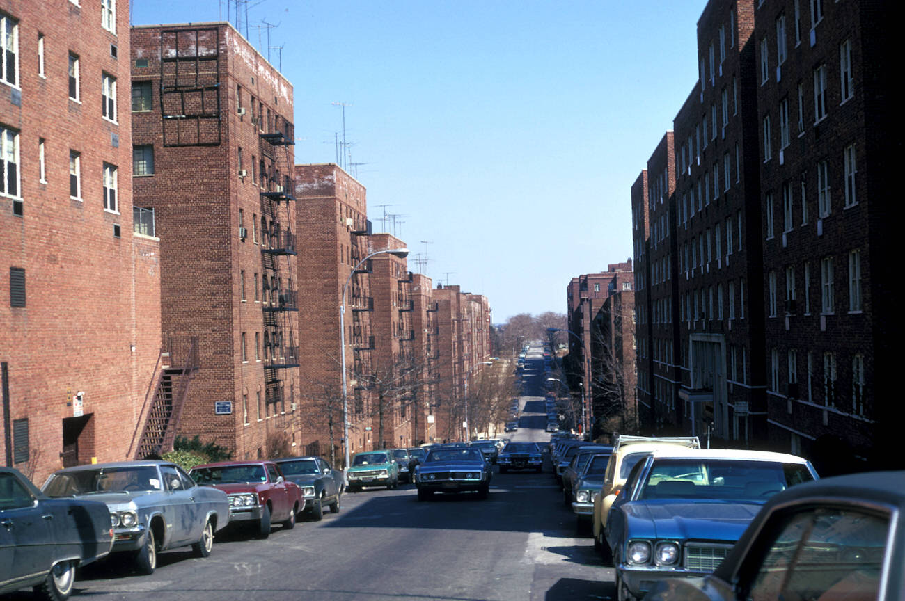
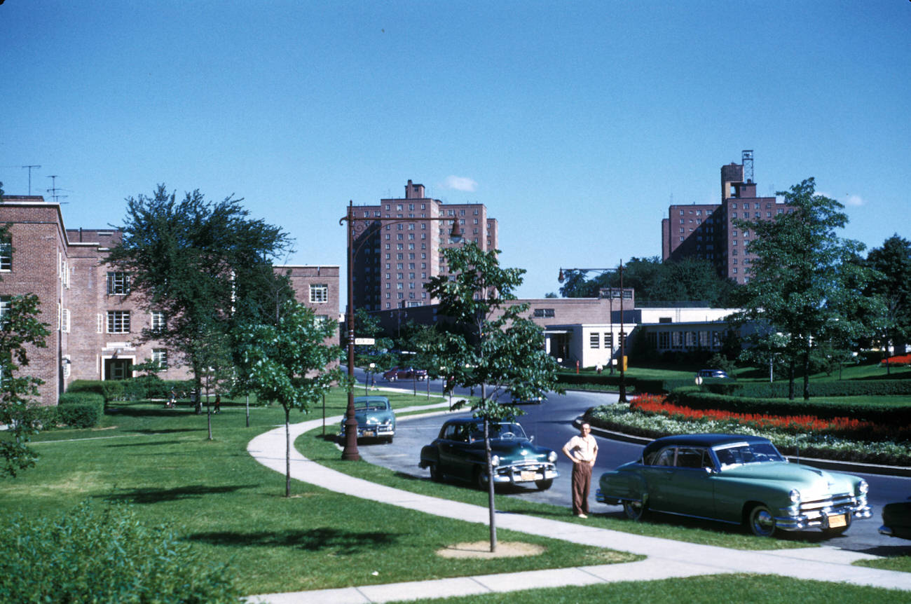
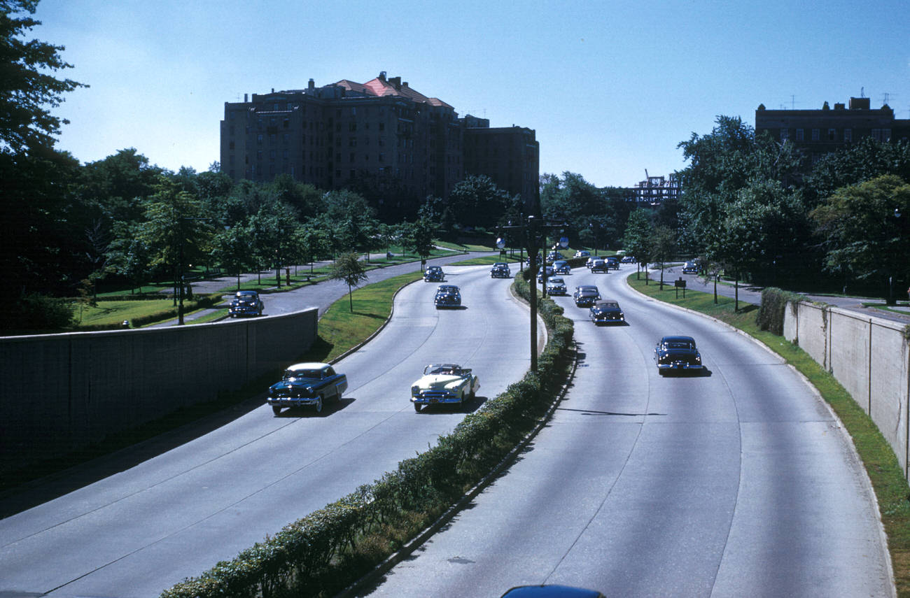
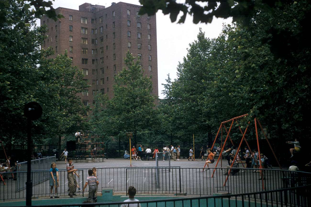
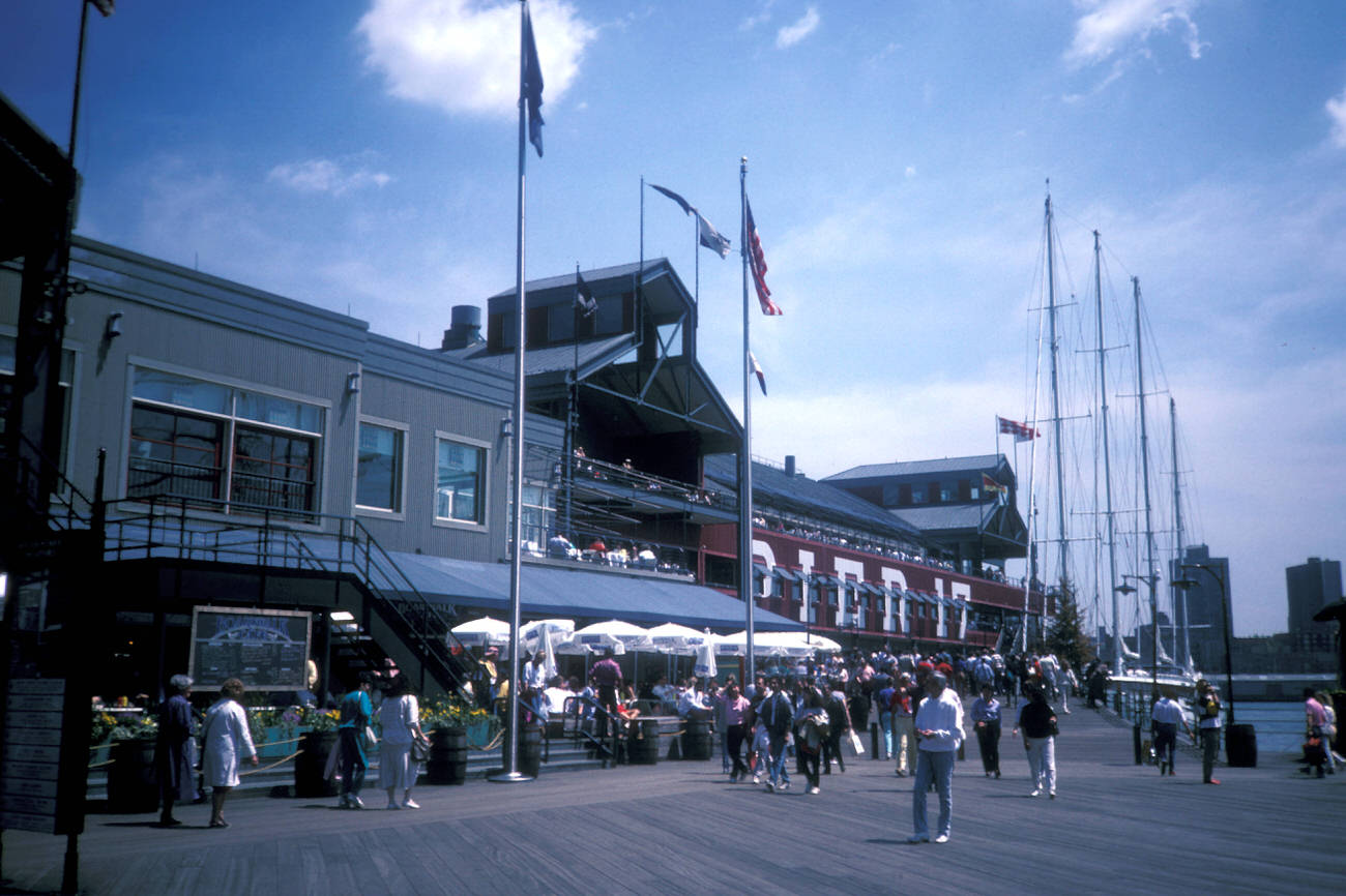
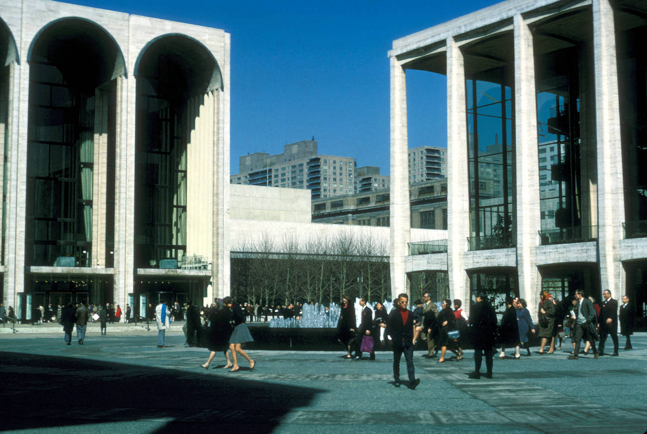
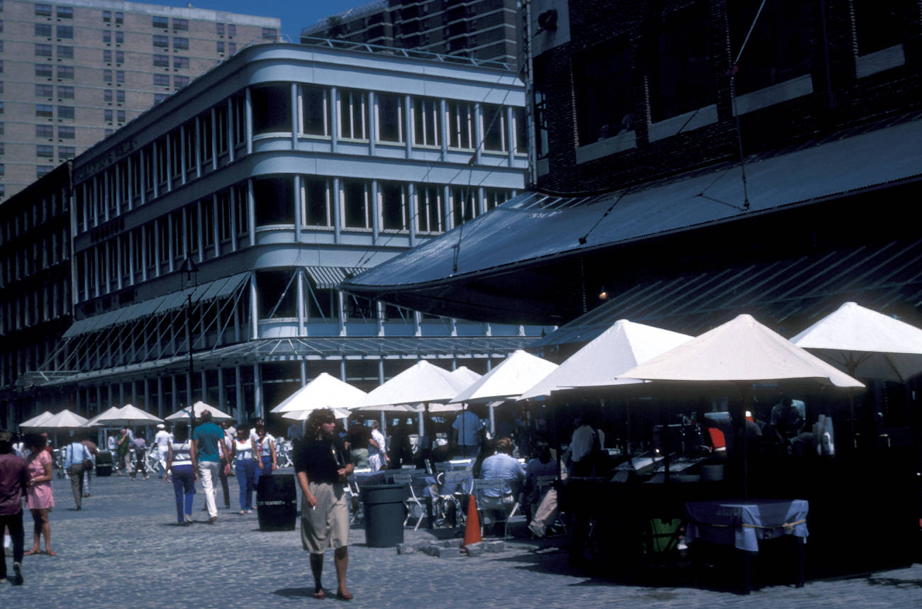
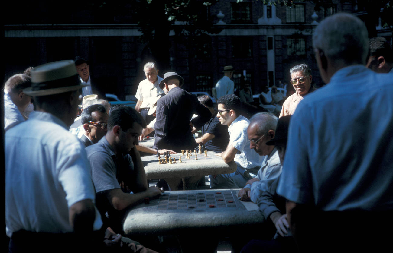
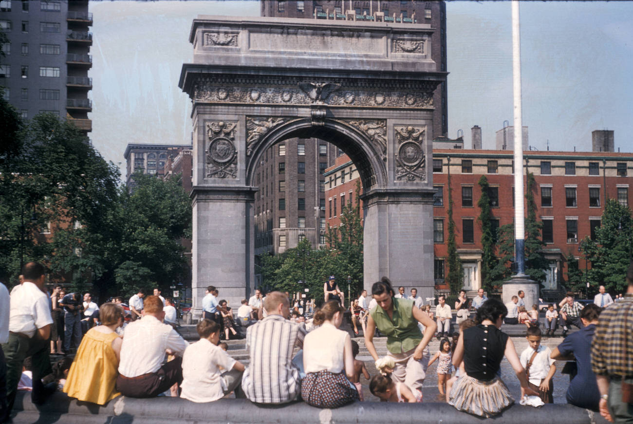
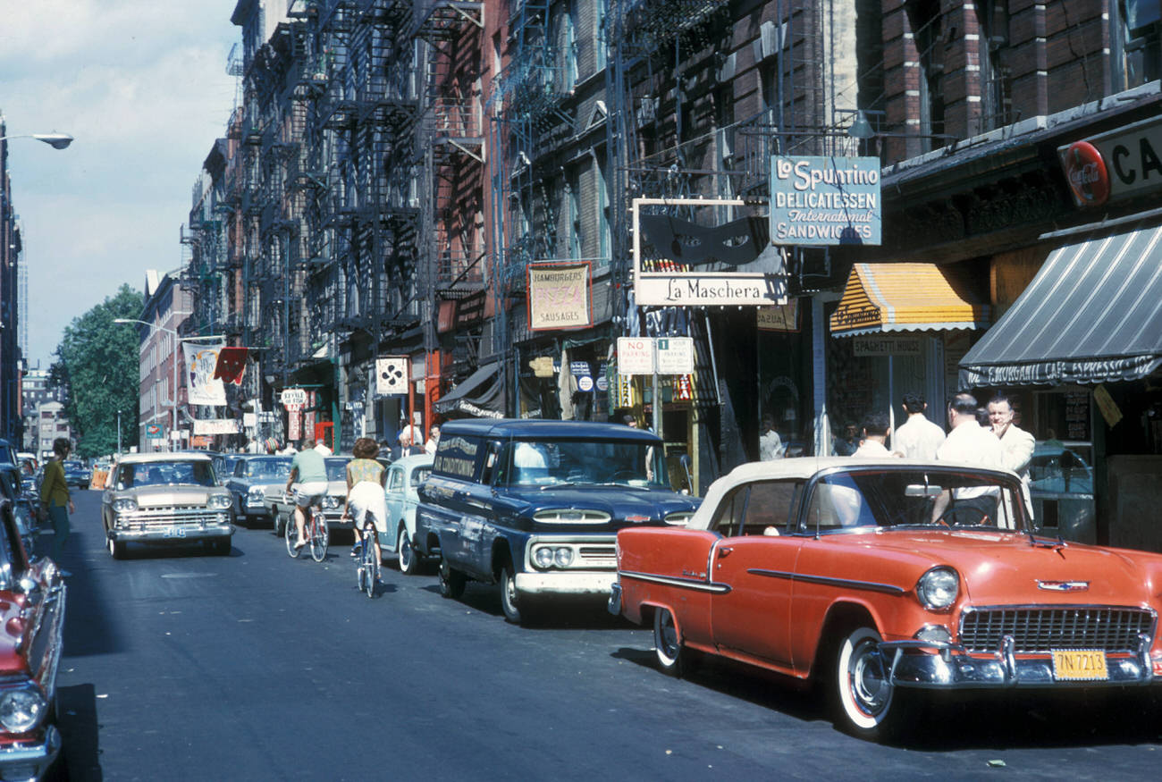
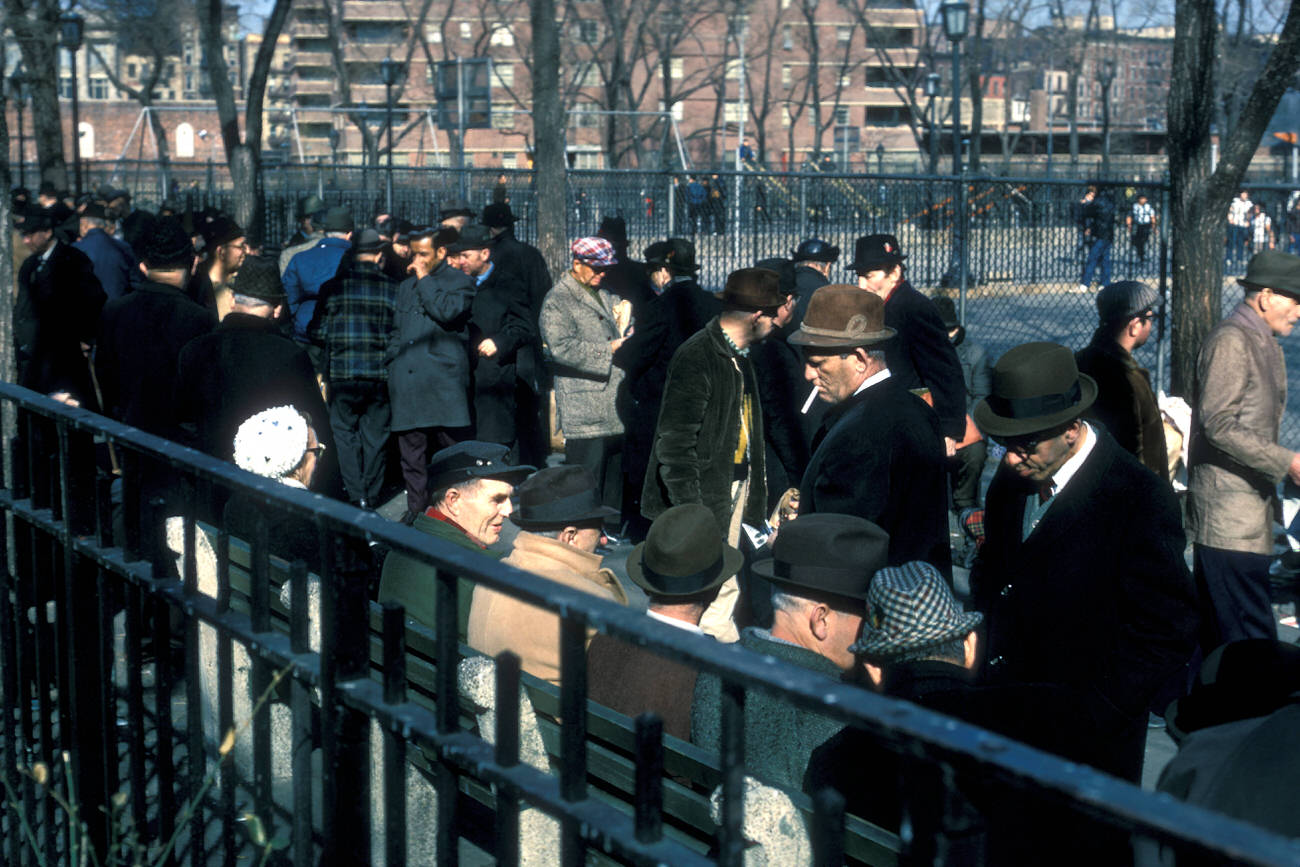
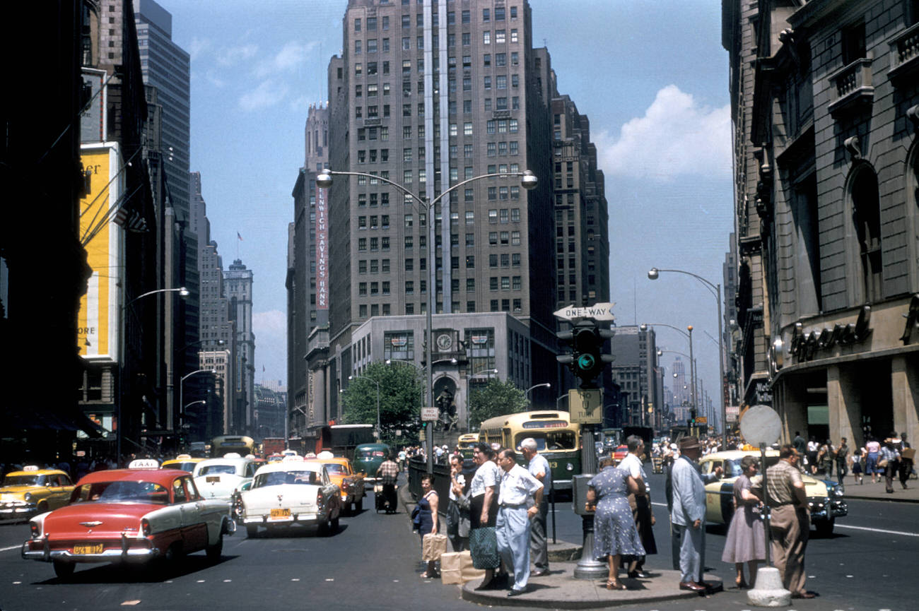
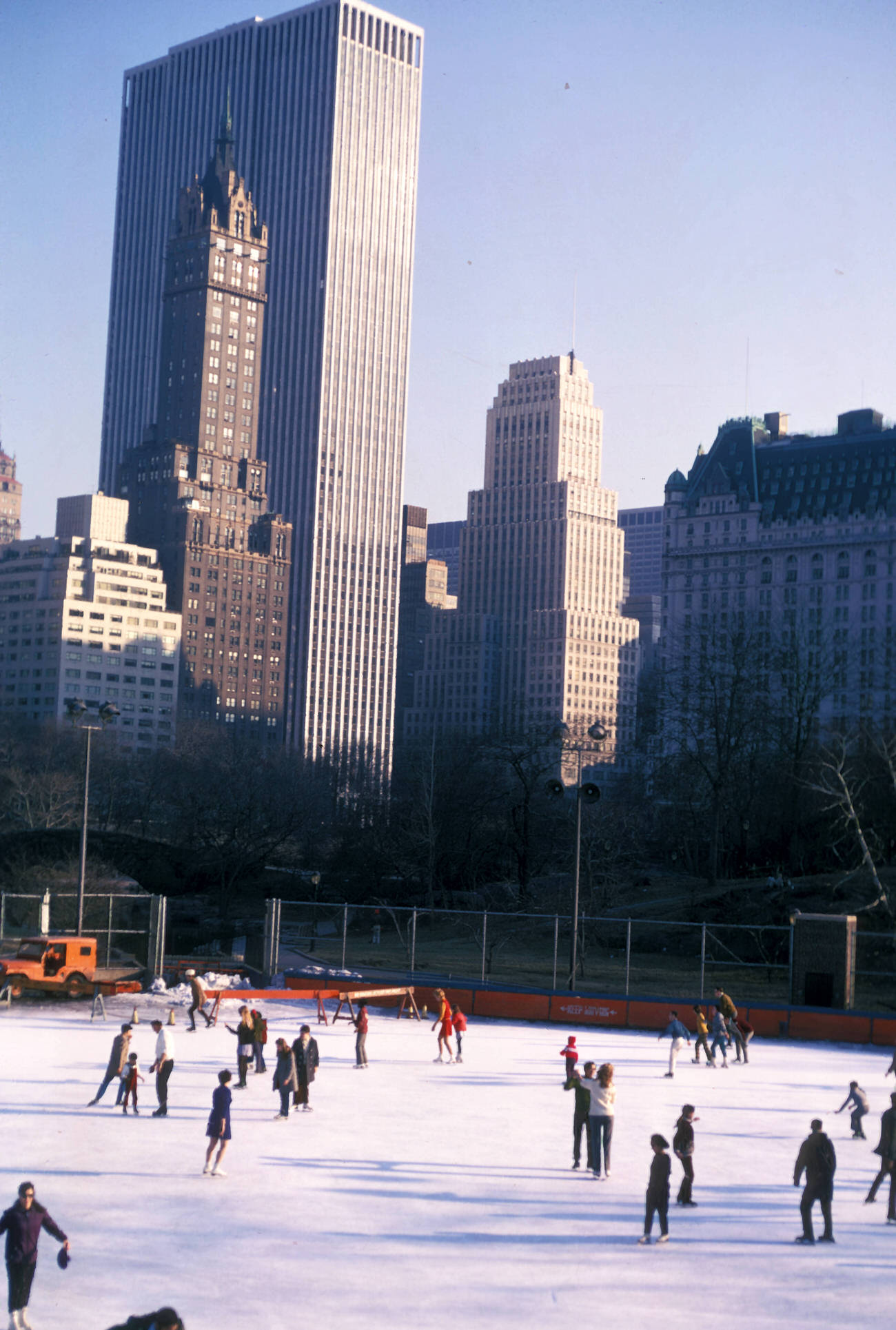
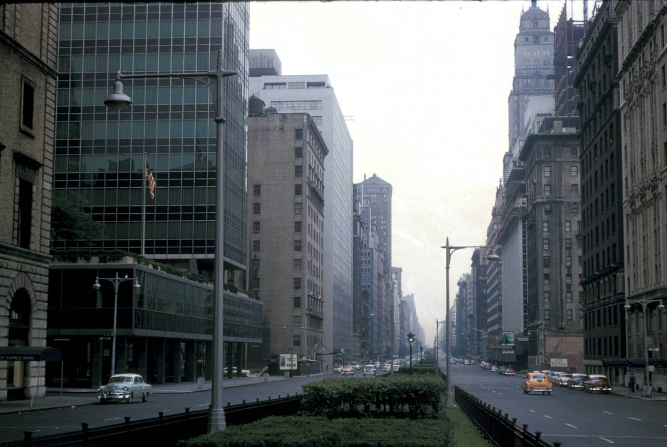
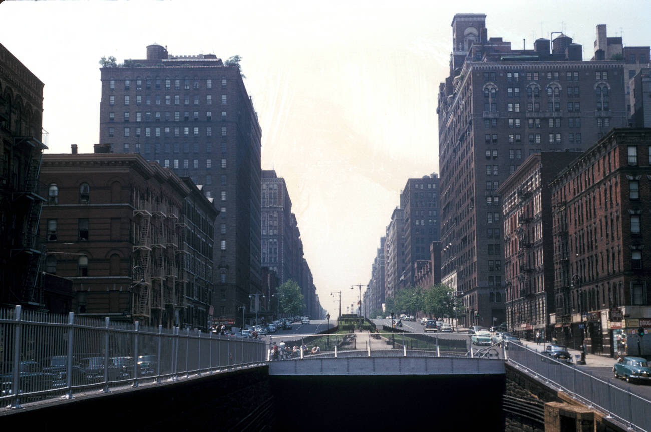
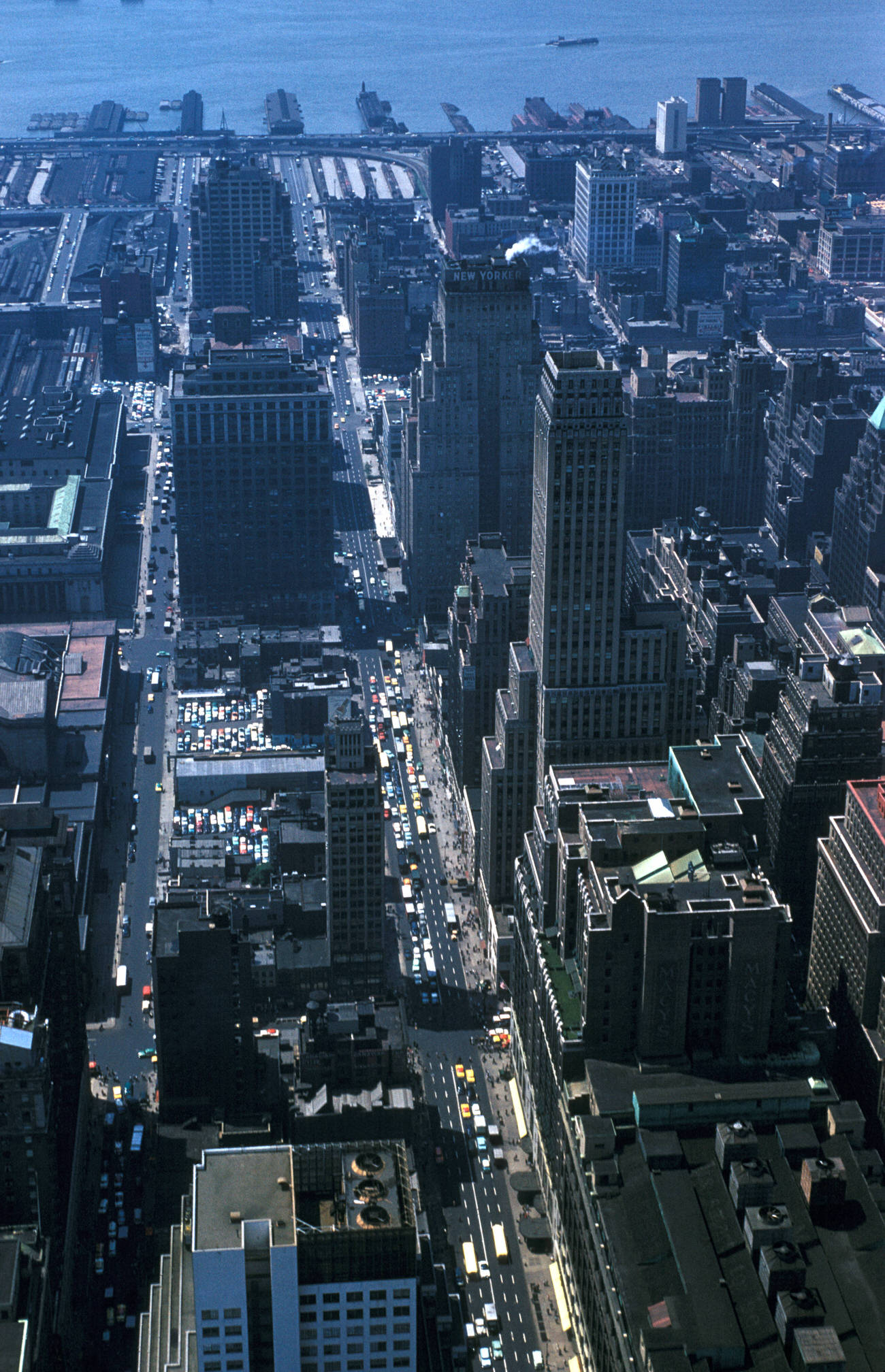
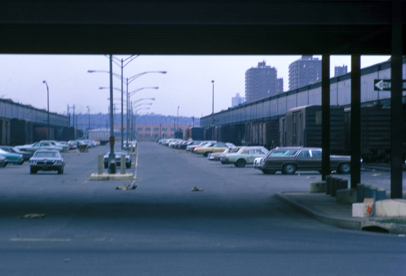
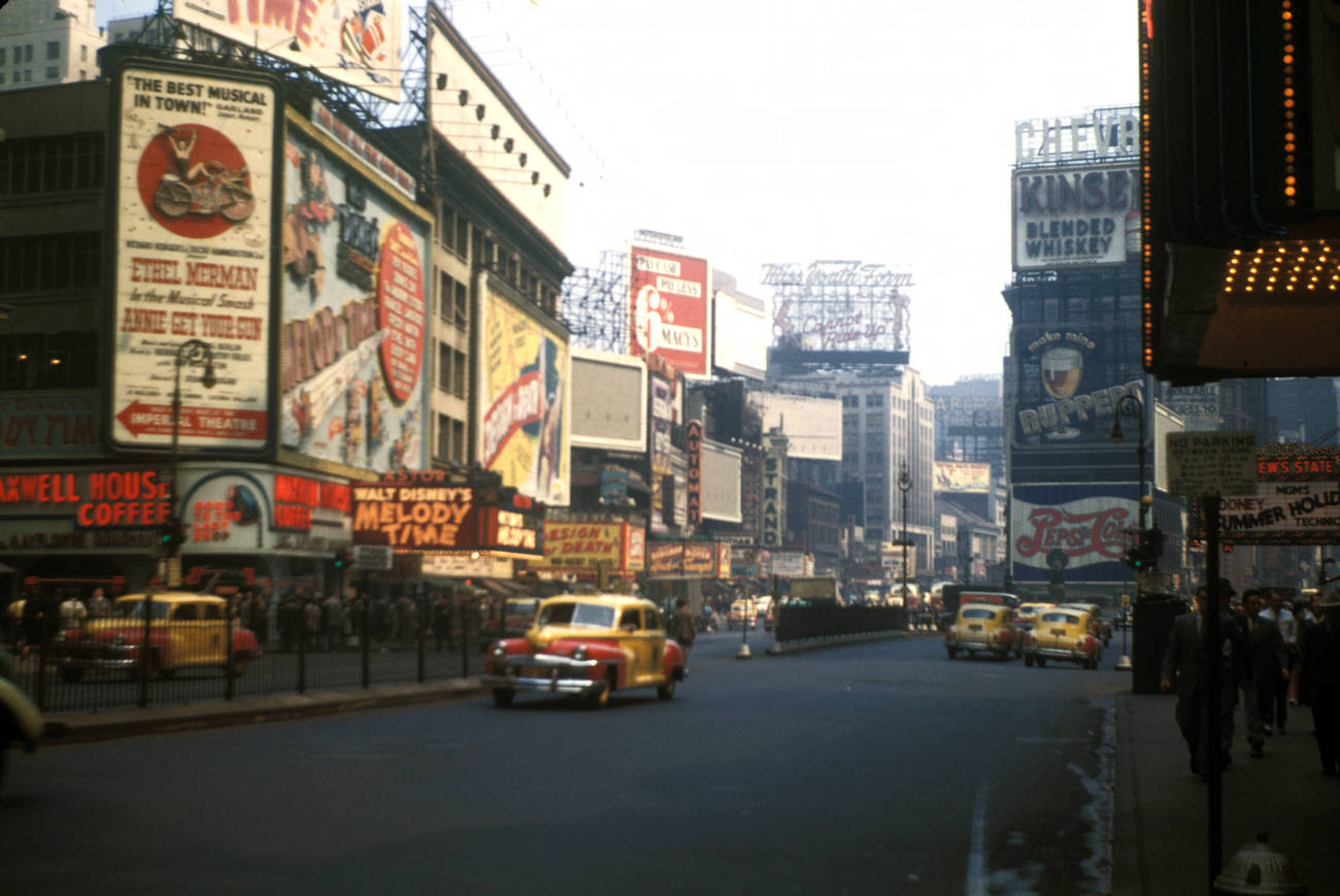
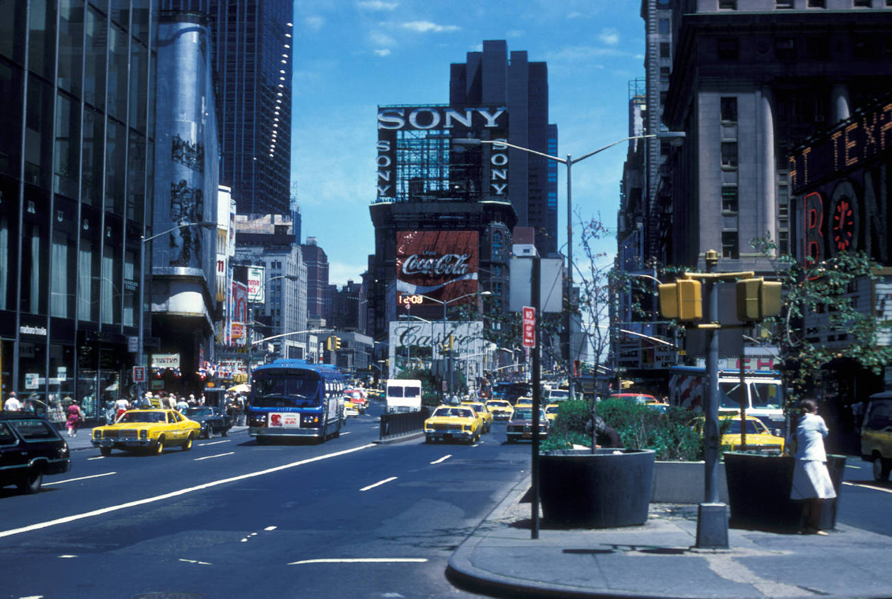
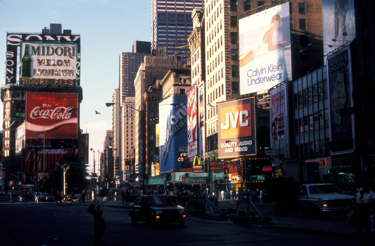
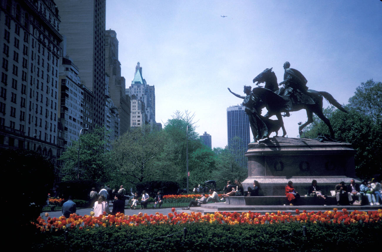
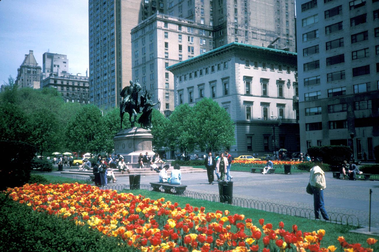
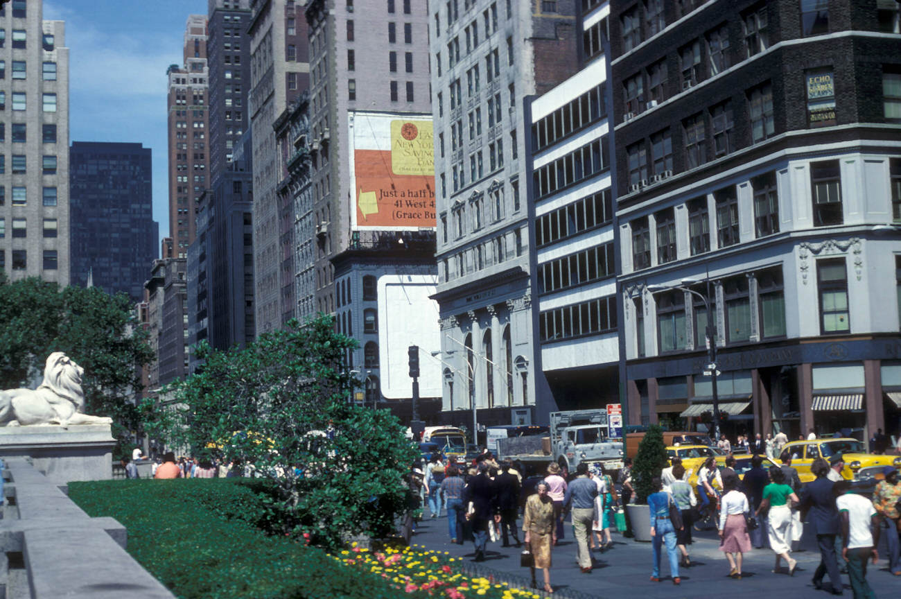
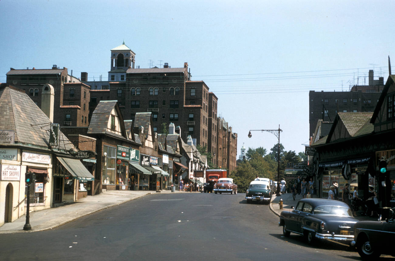
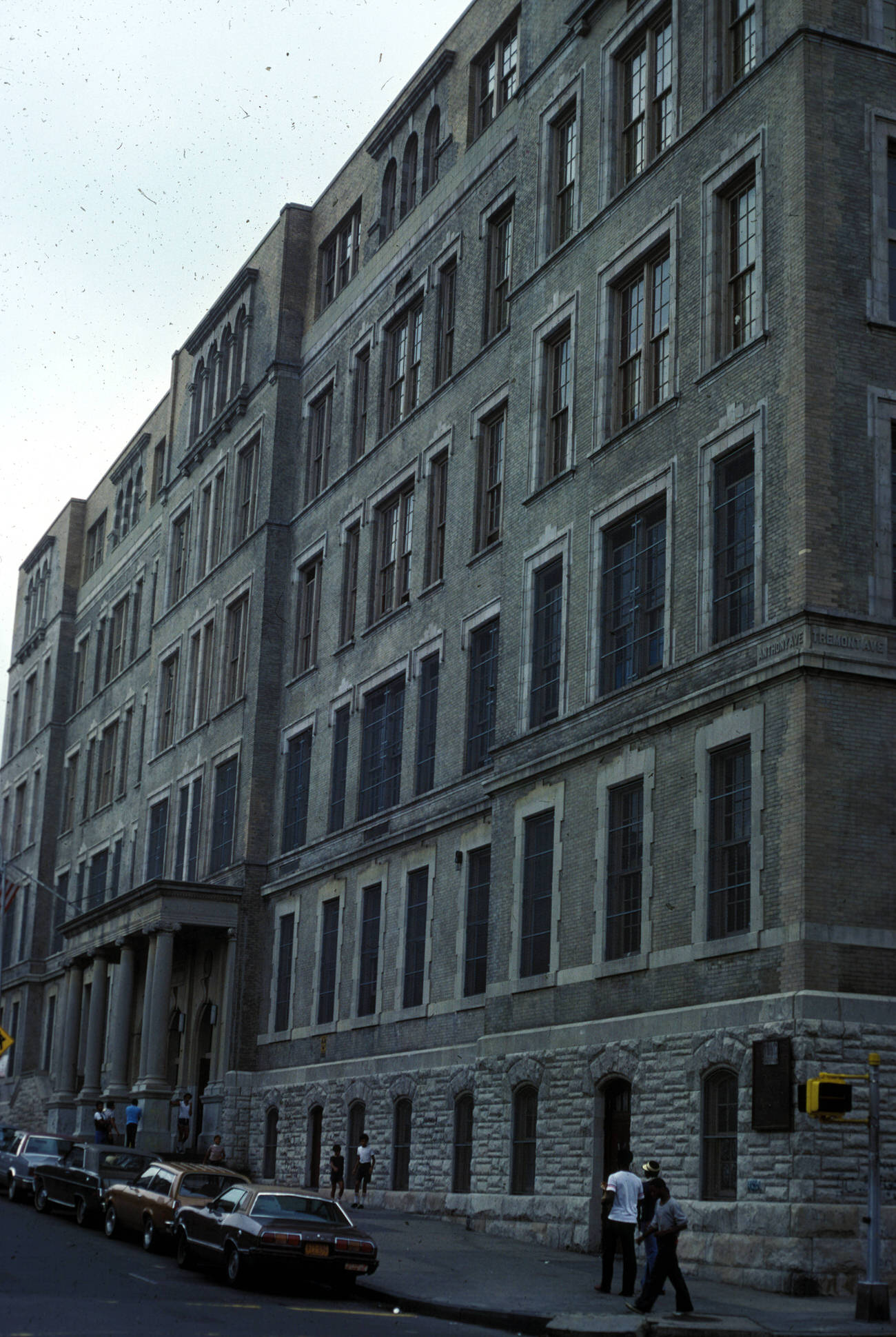
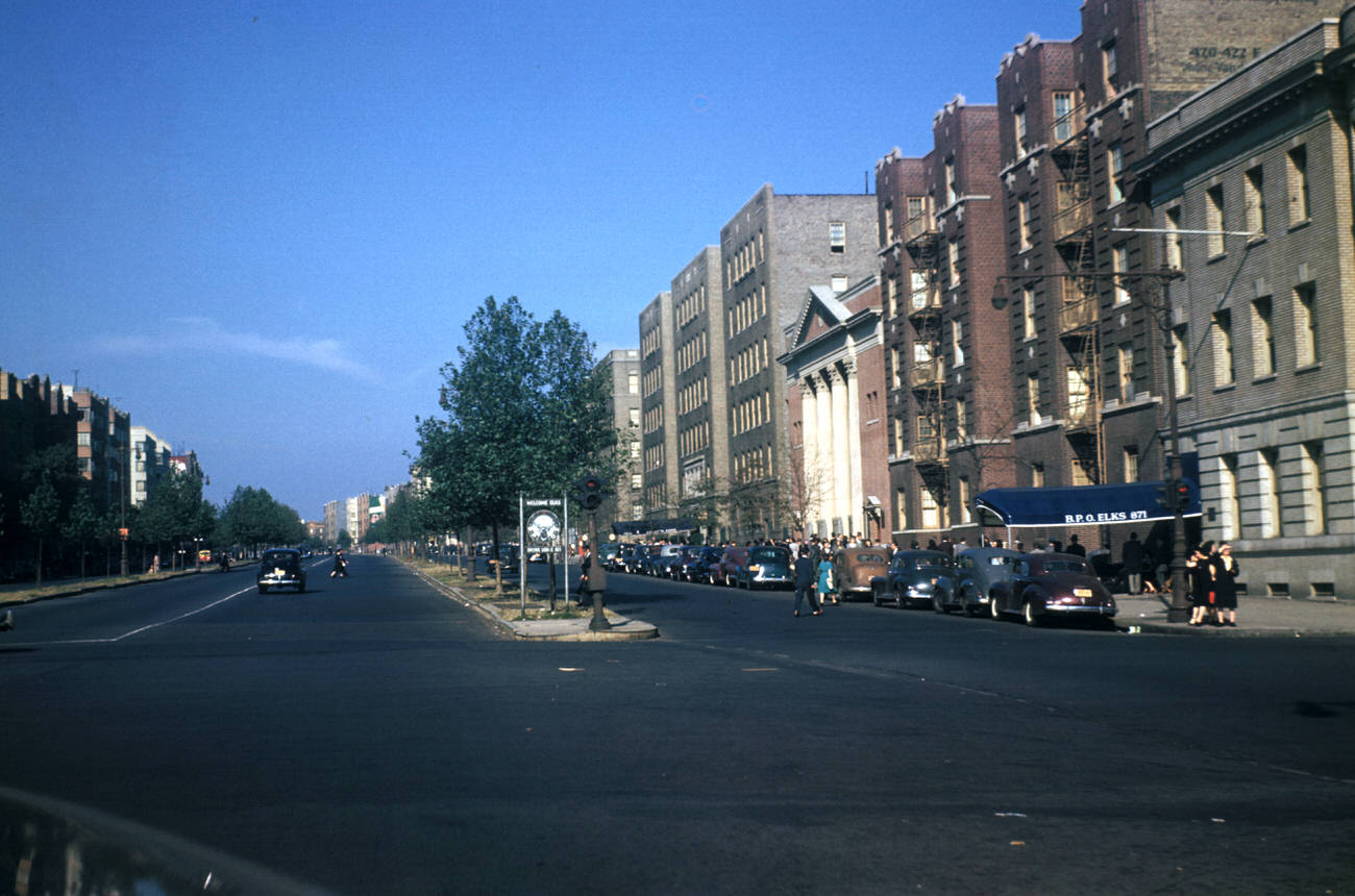
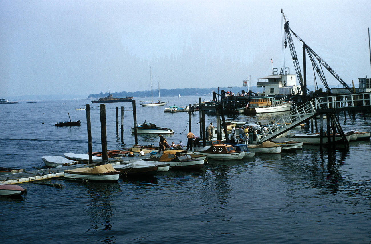
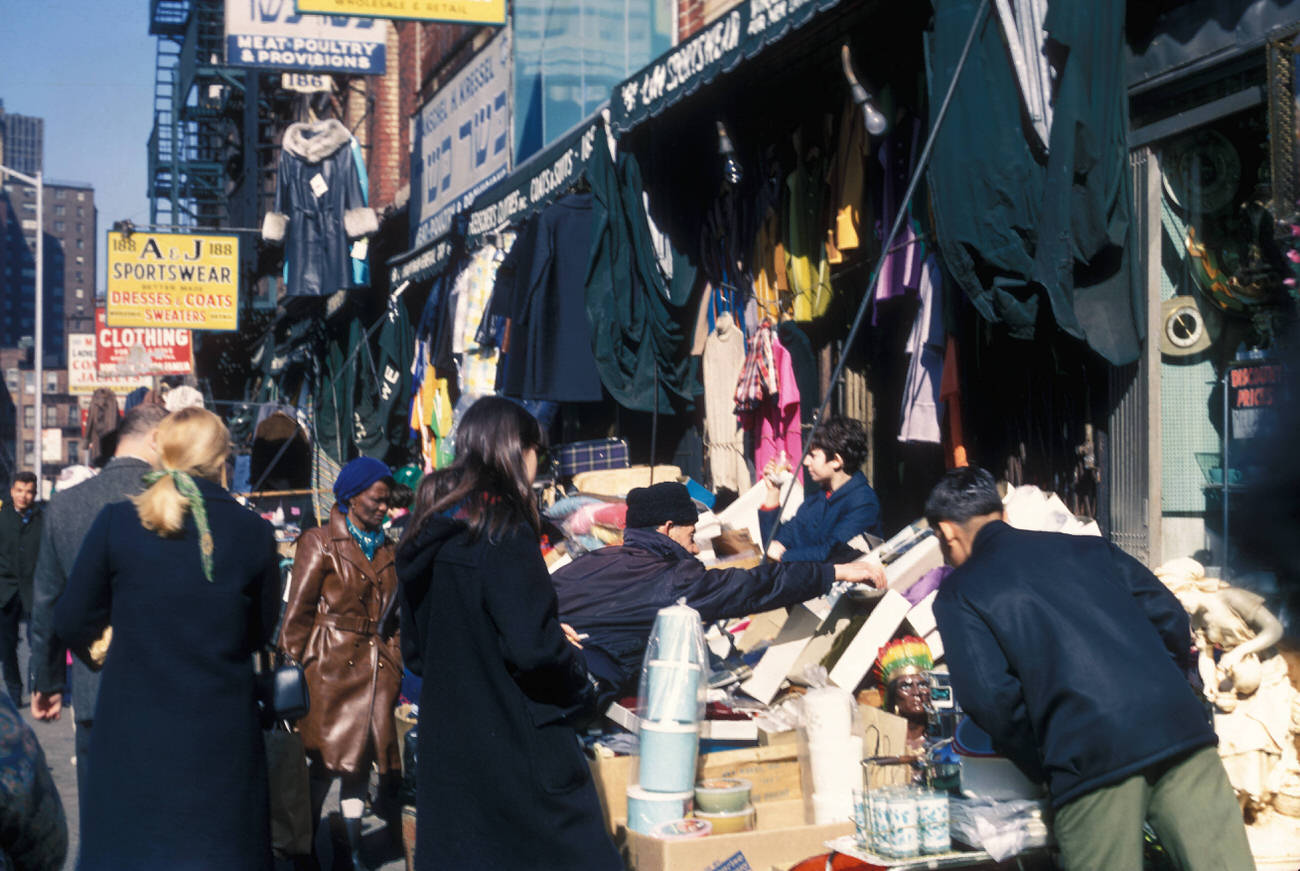
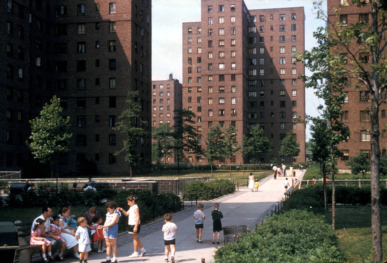
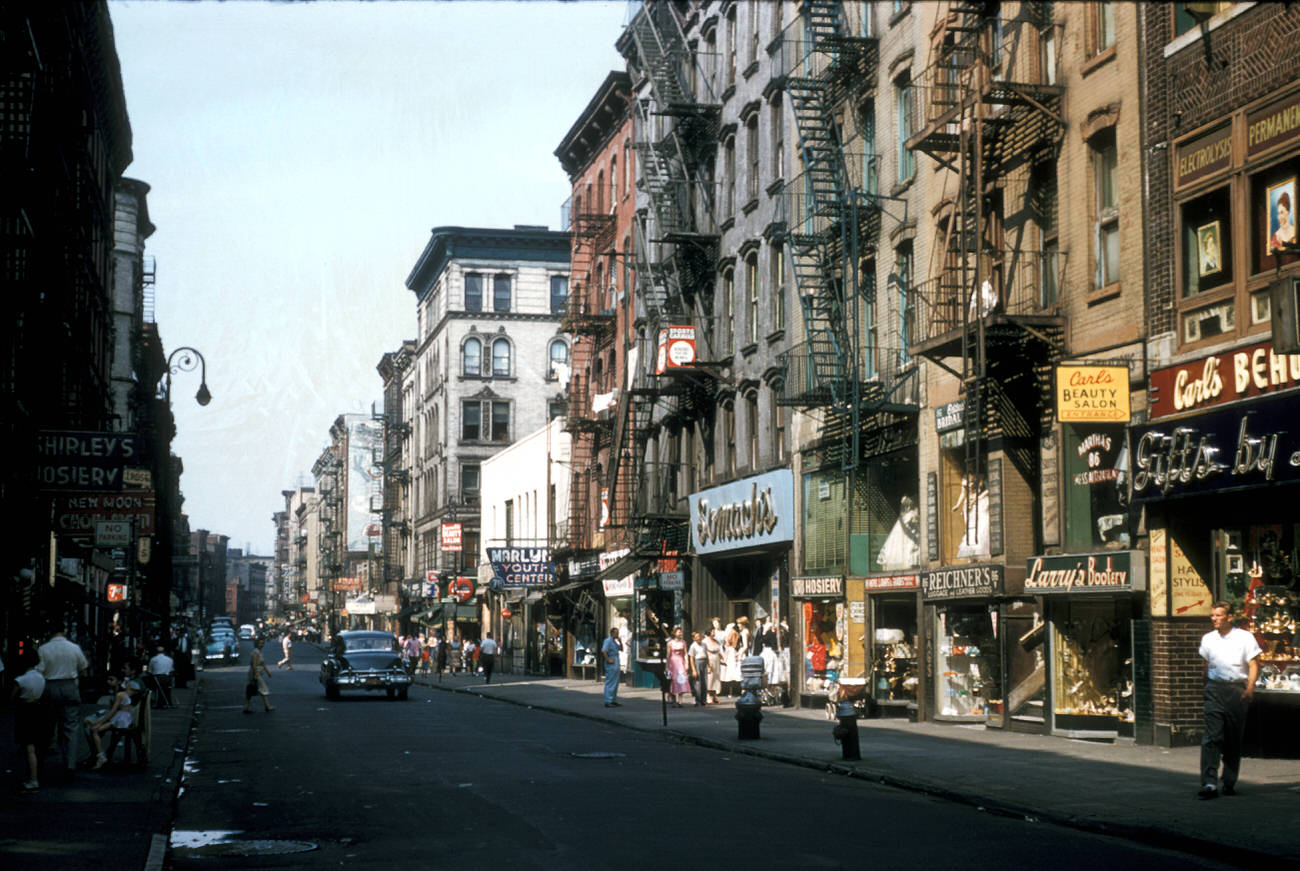
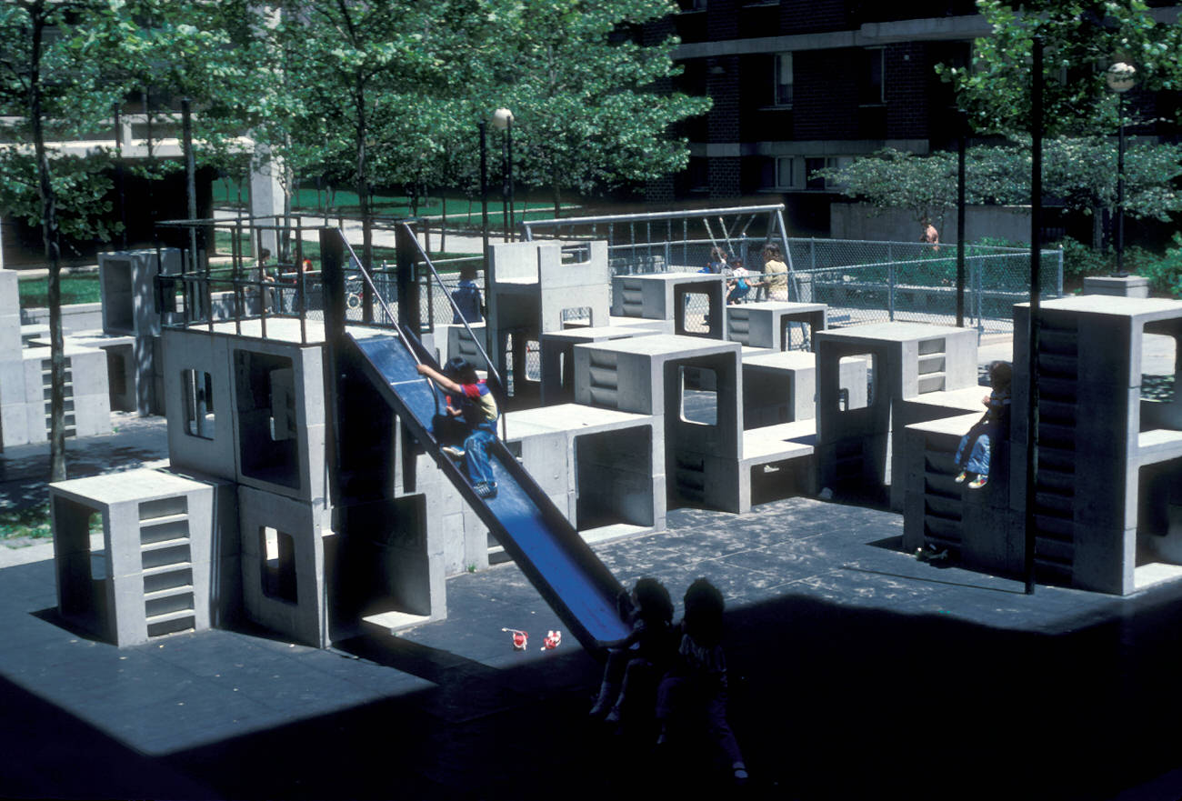
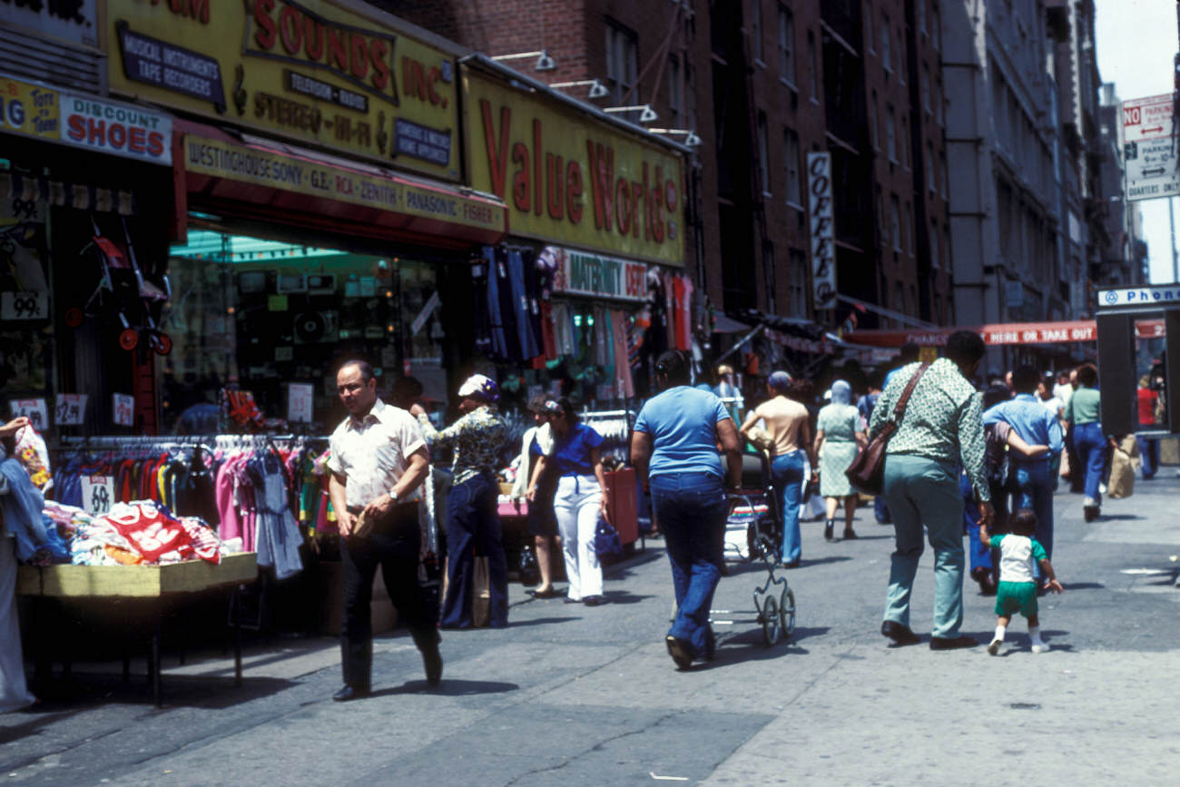
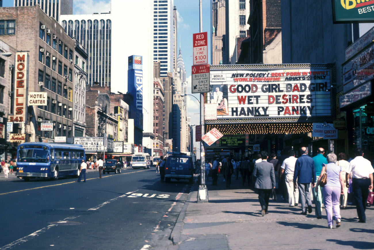
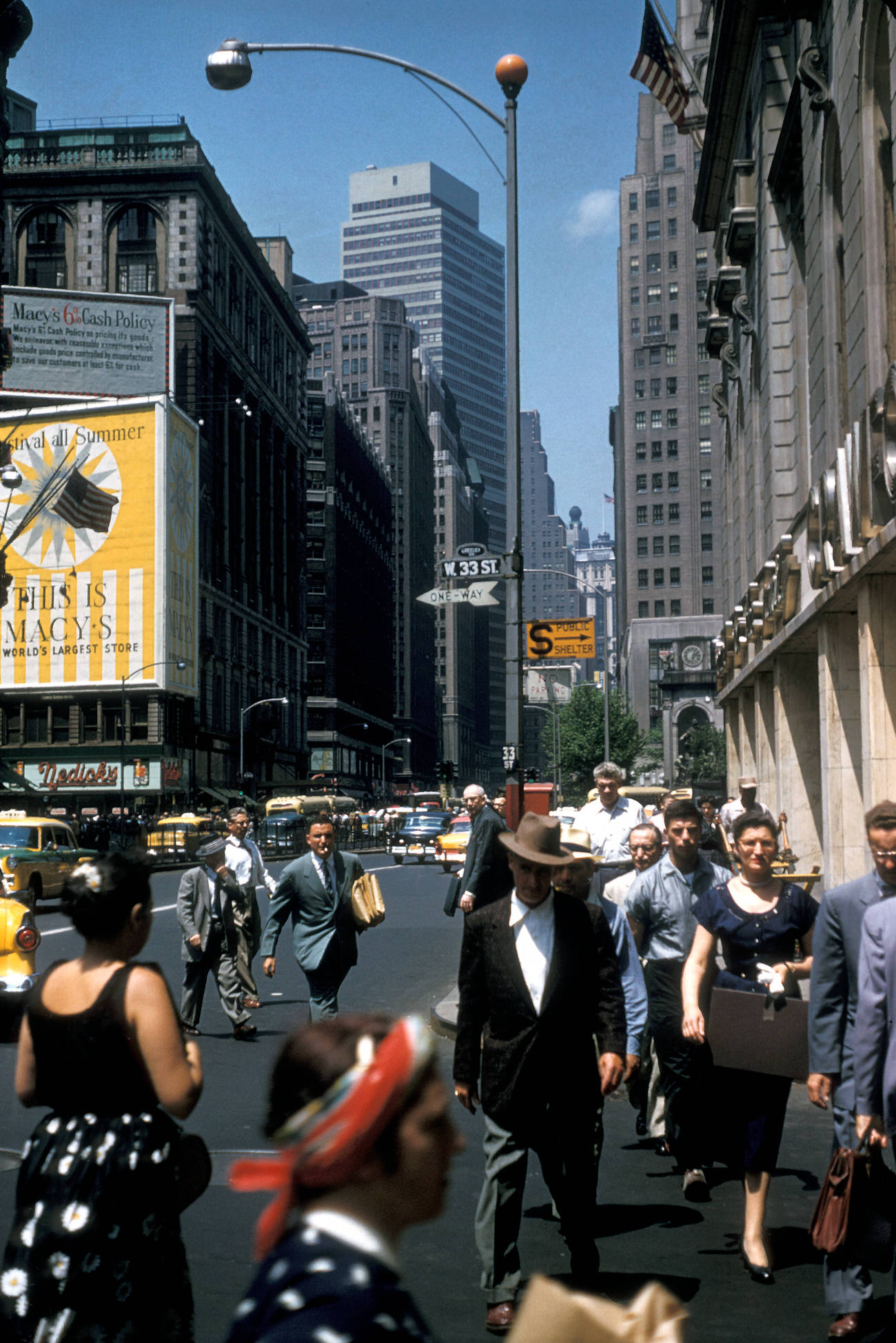
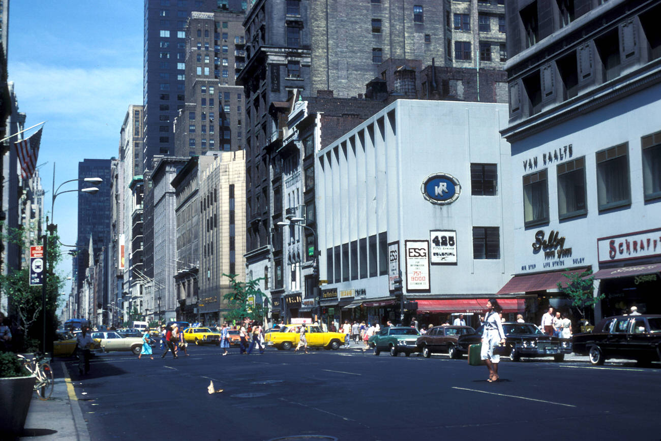
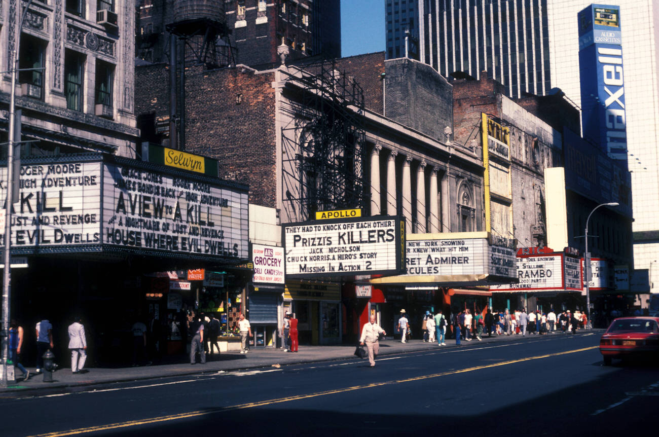
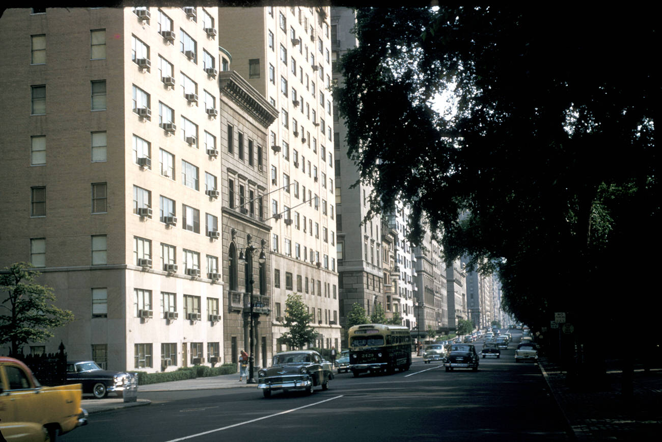
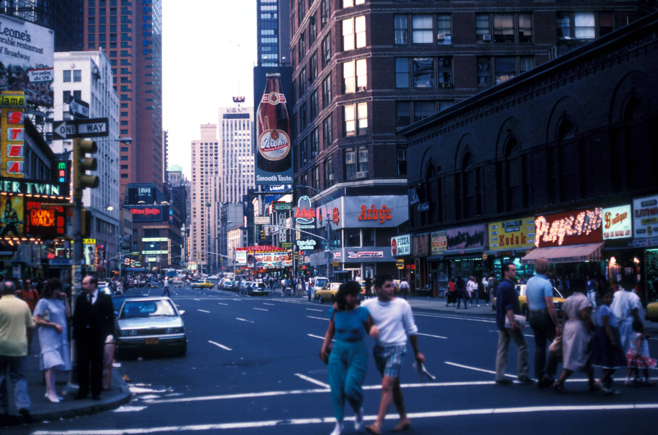
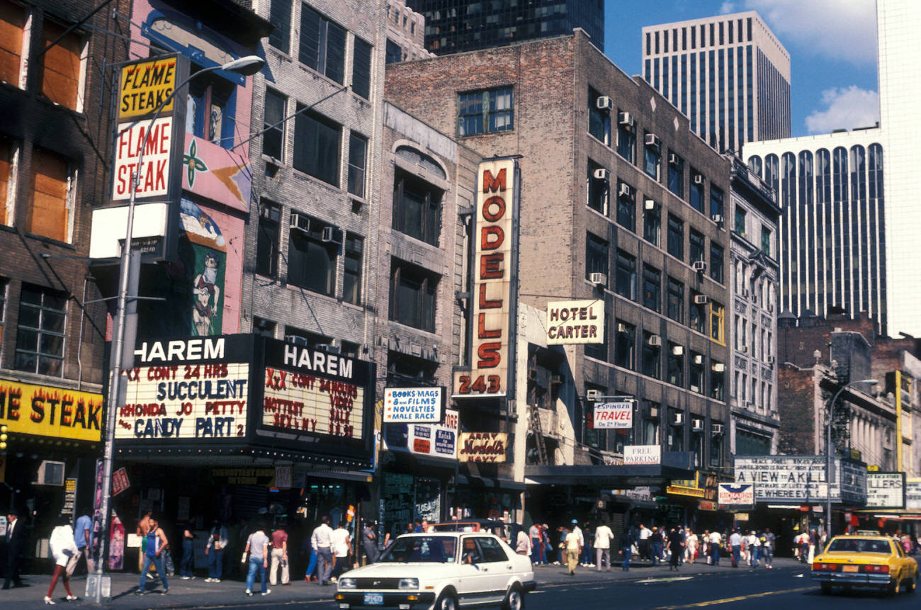
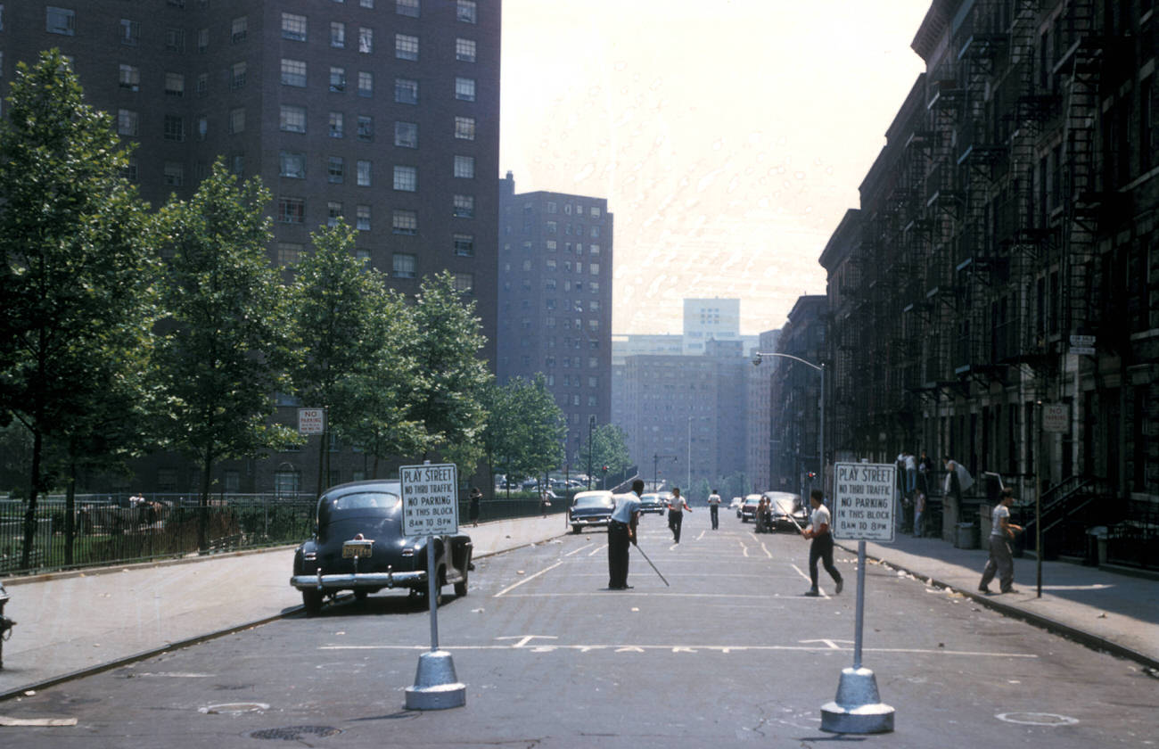
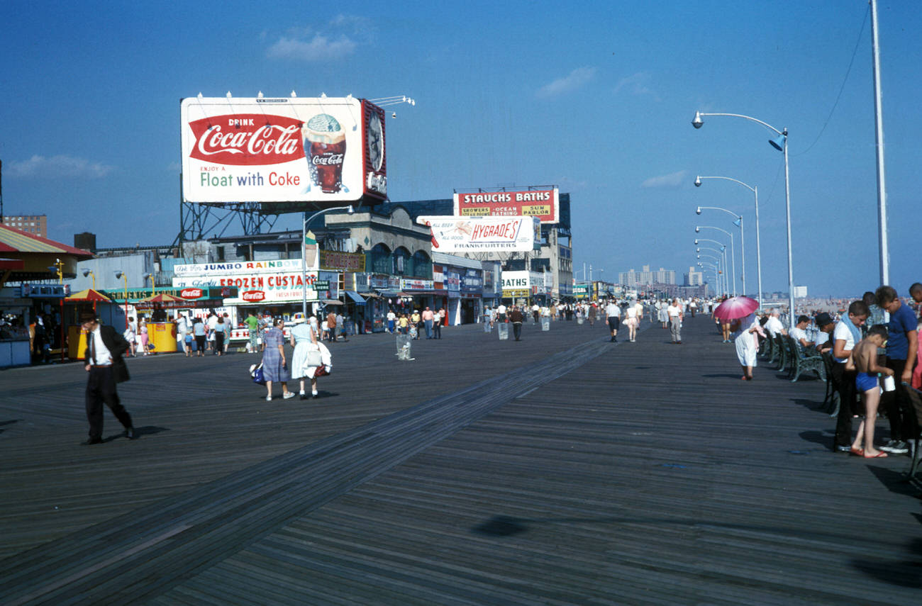
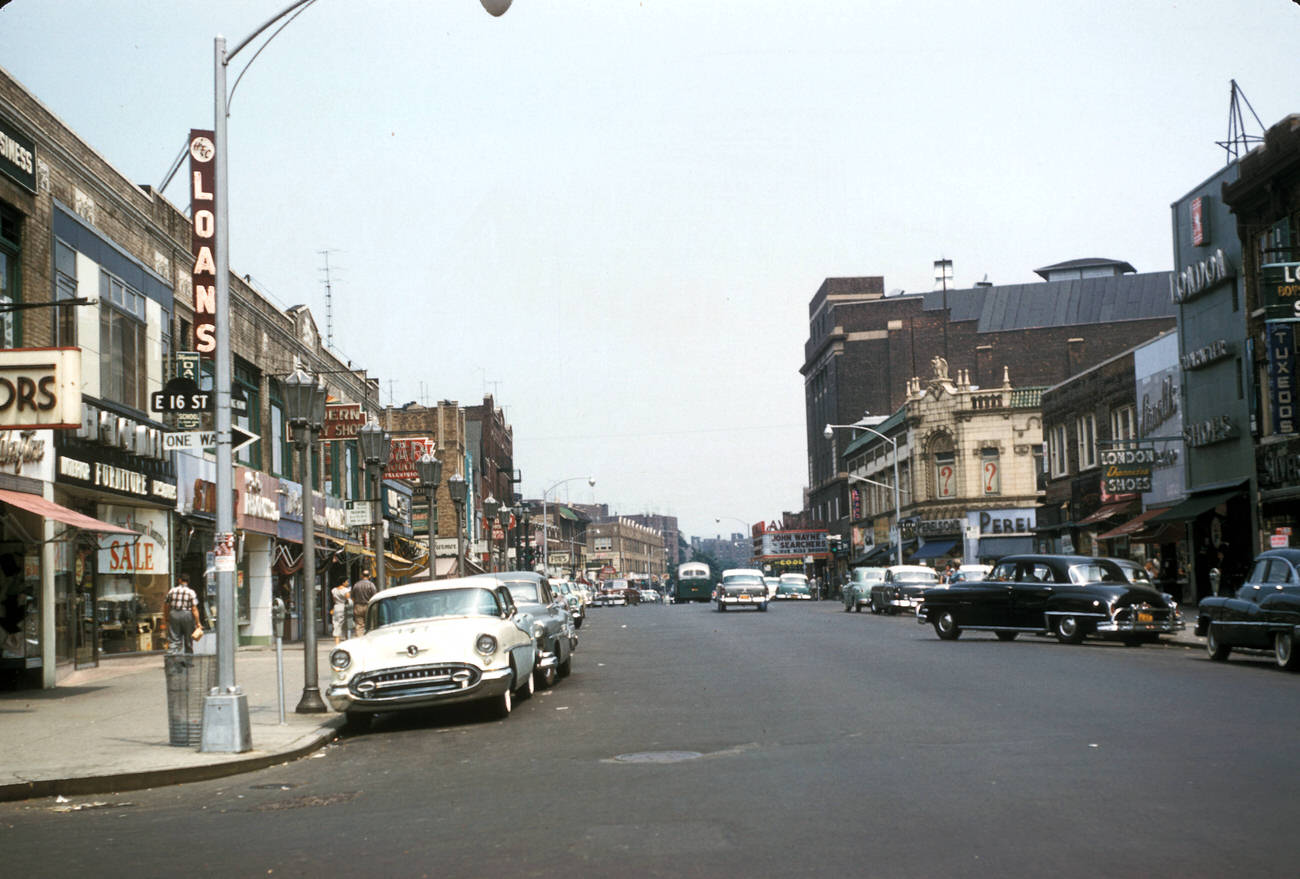
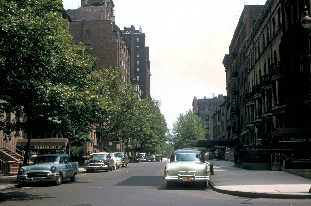
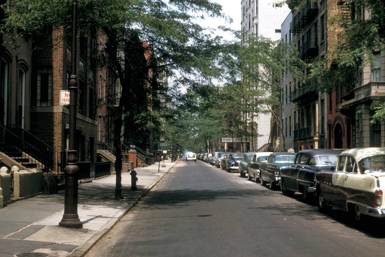
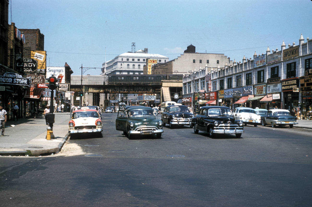
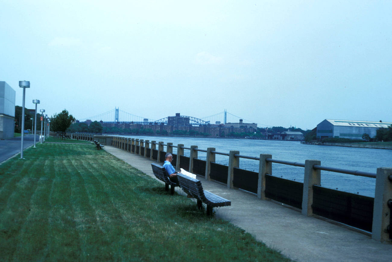
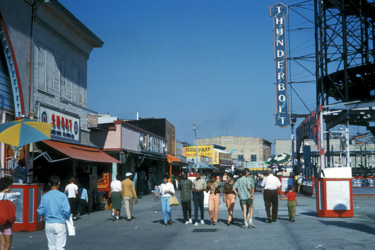
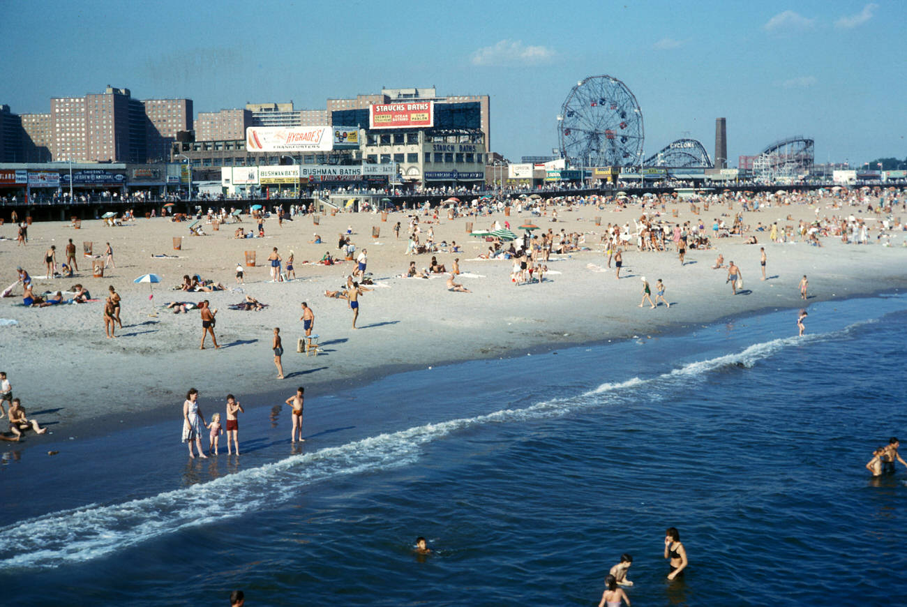
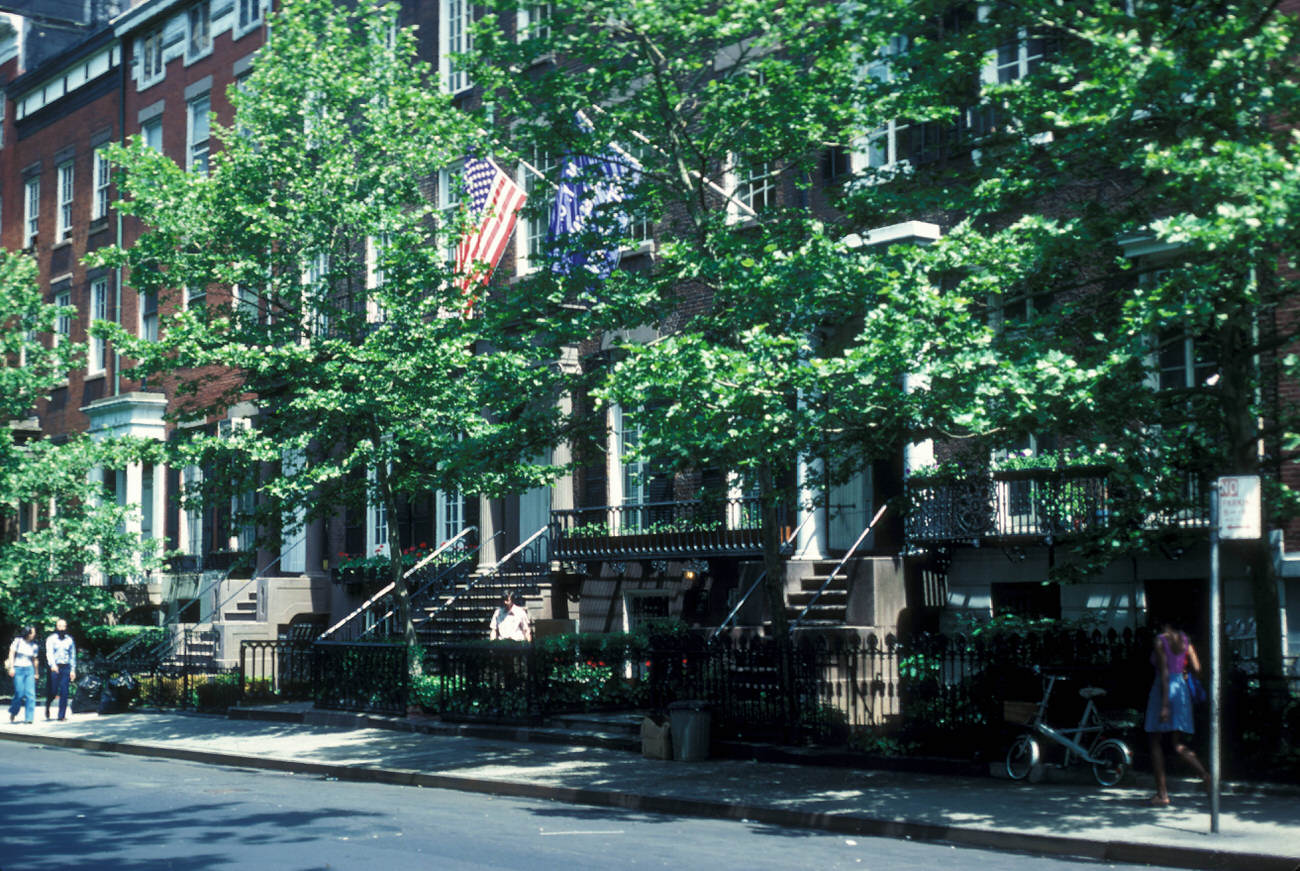
Mayer’s photographs show New York City as a vibrant but complex place. In his images, the streets are full of life—crowded sidewalks, busy intersections, and the constant movement of people. He captured moments that defined daily life, from commuters rushing to work to children playing in the streets. His photos of Times Square in the 1960s, with its flashing neon signs and crowded sidewalks, show the hustle and bustle of a city that never sleeps.

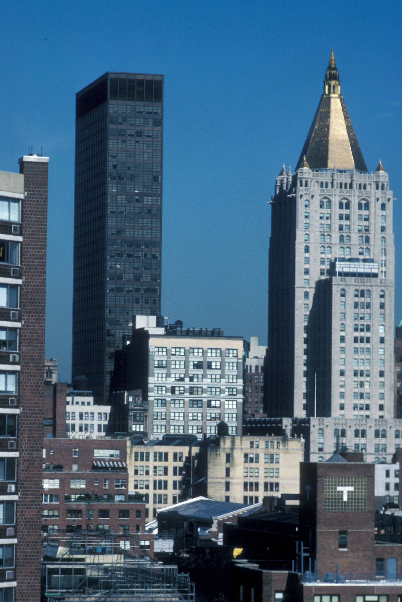
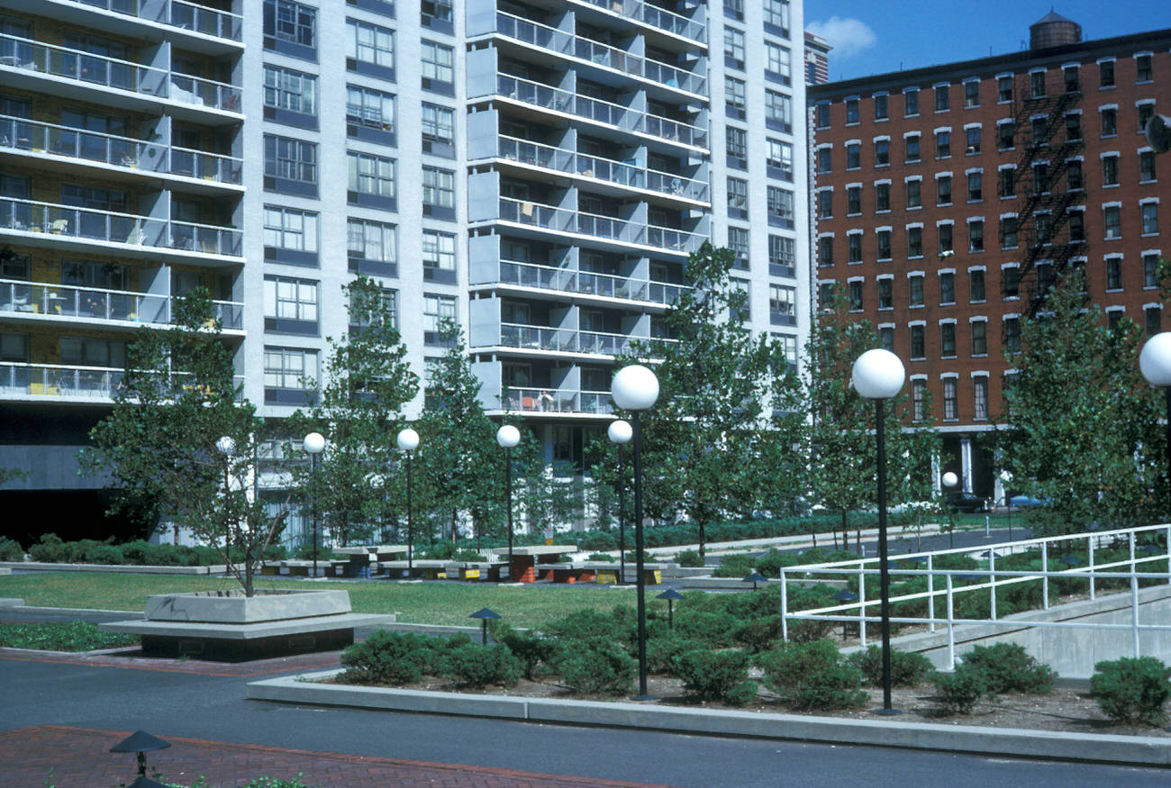
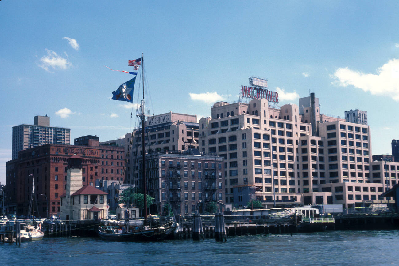
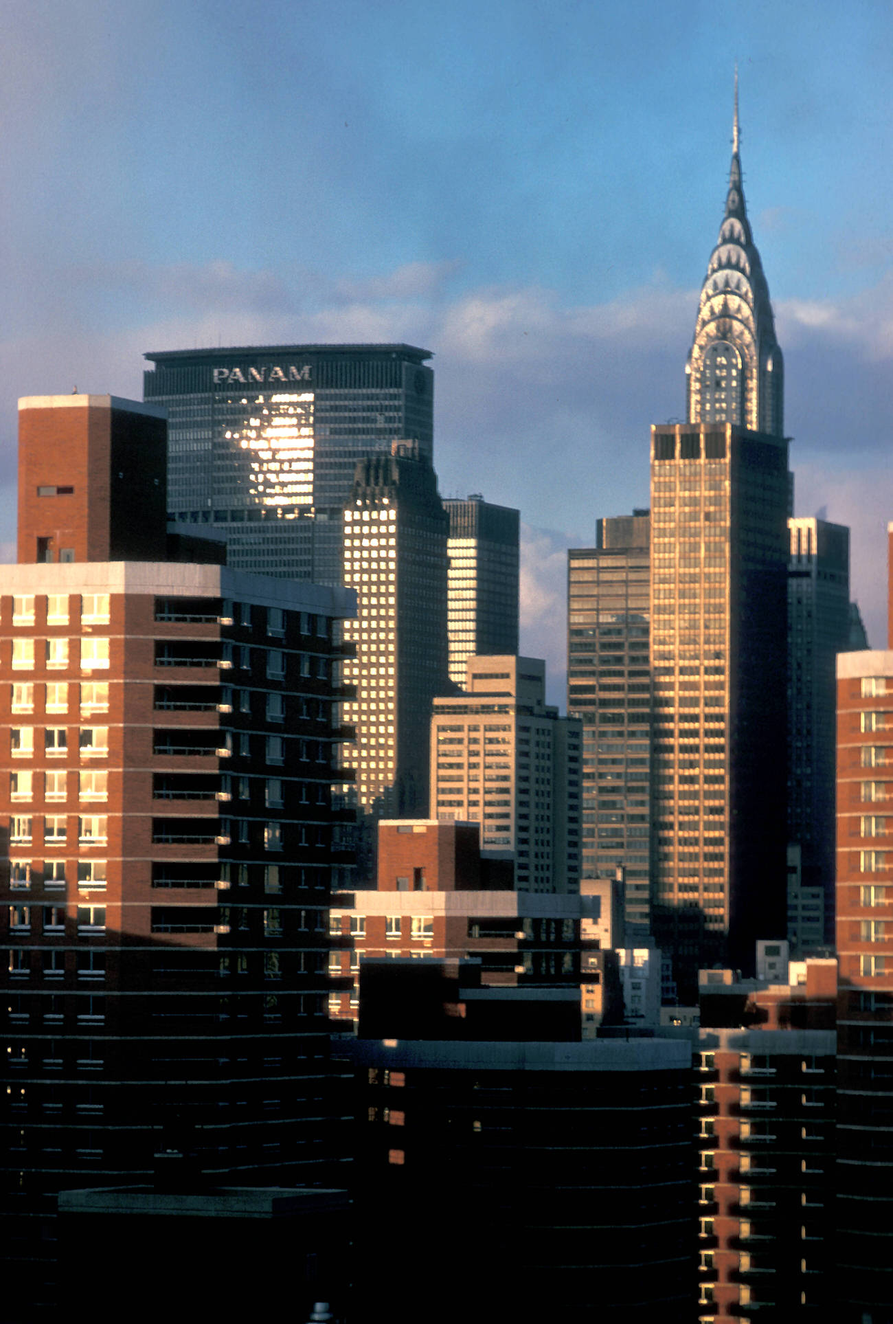
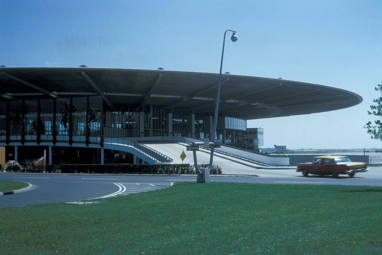
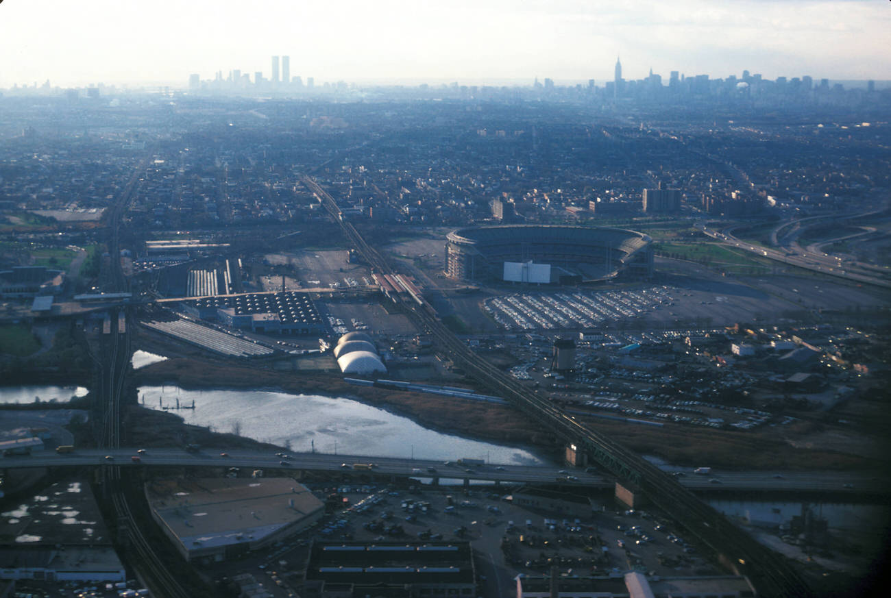
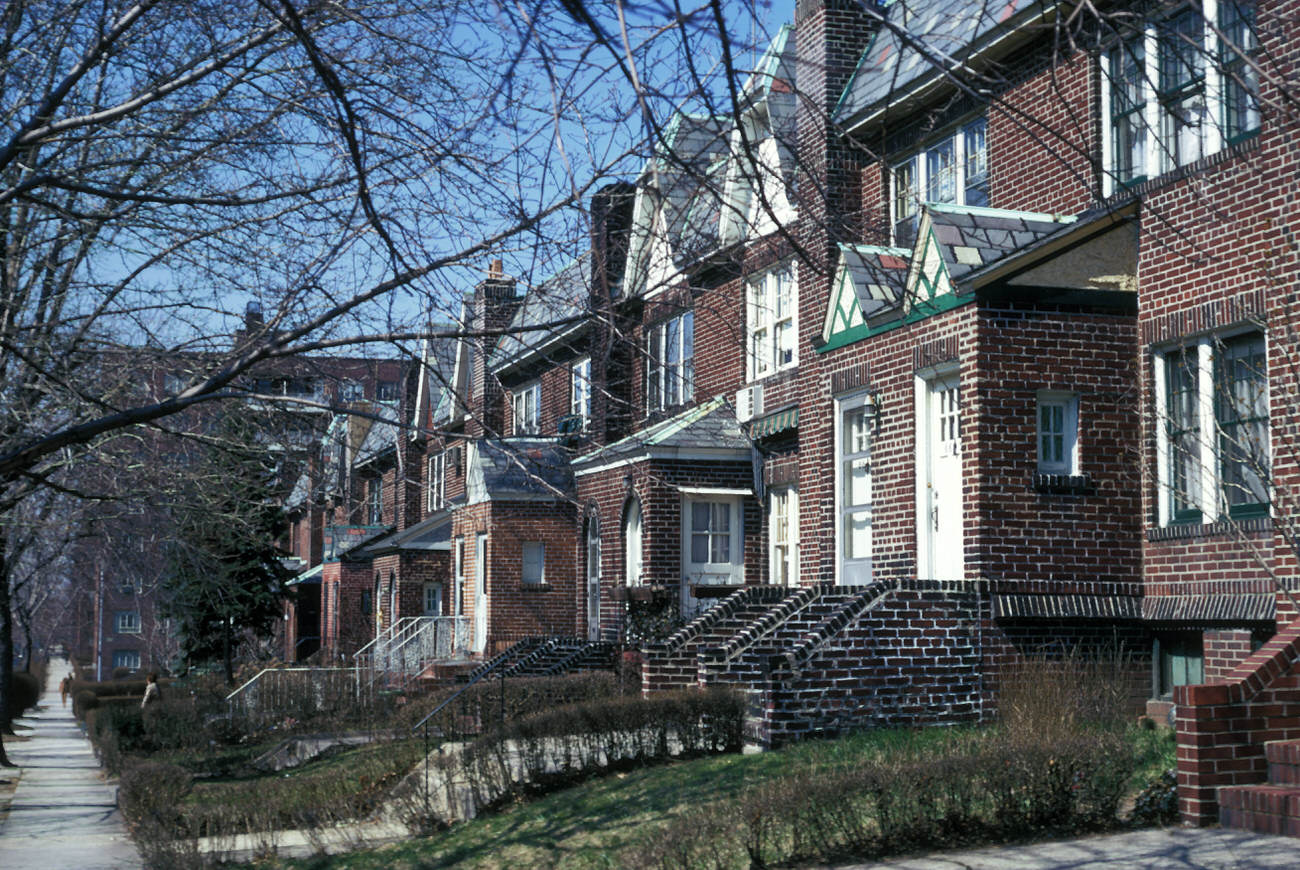
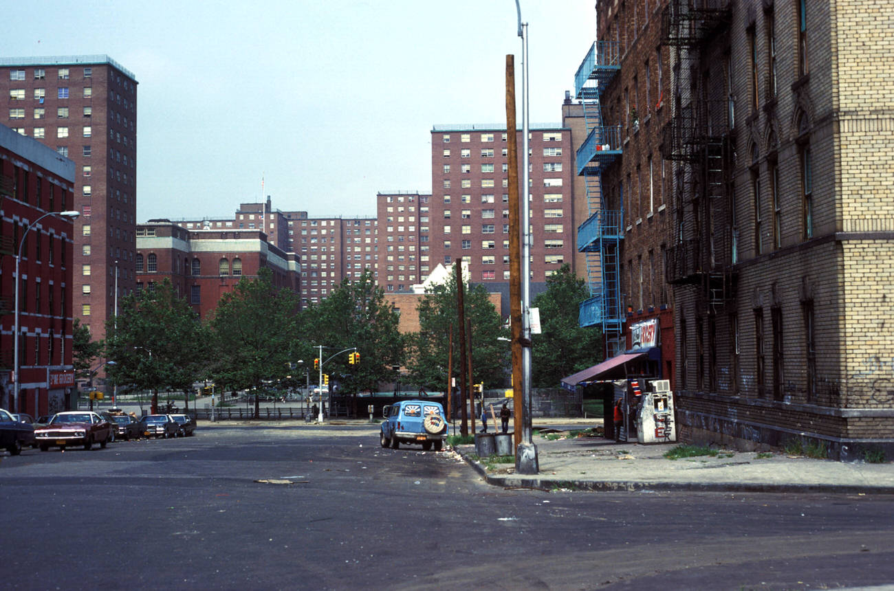
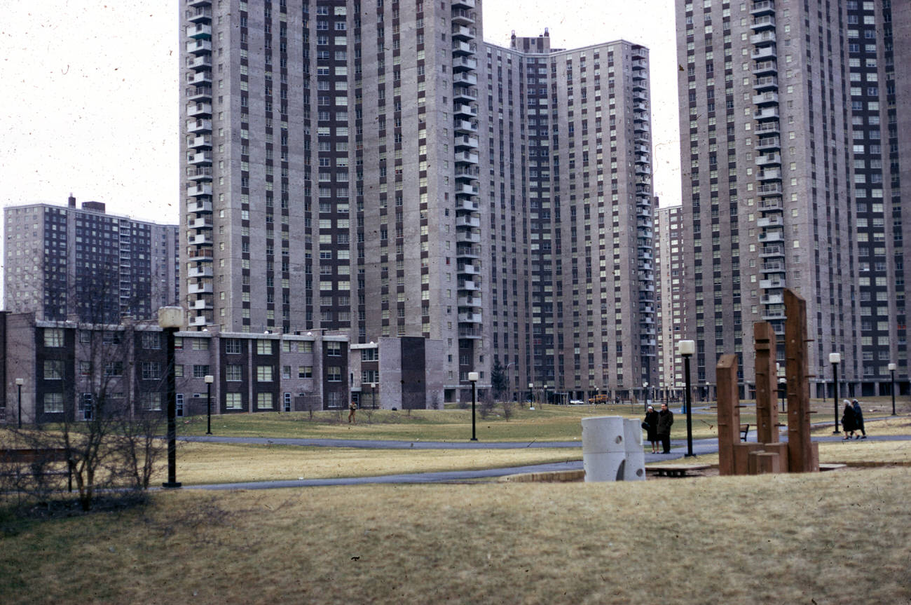
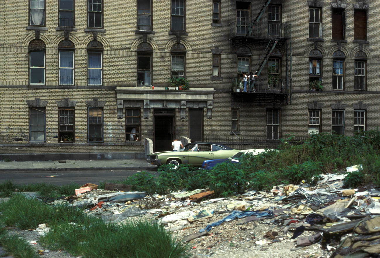
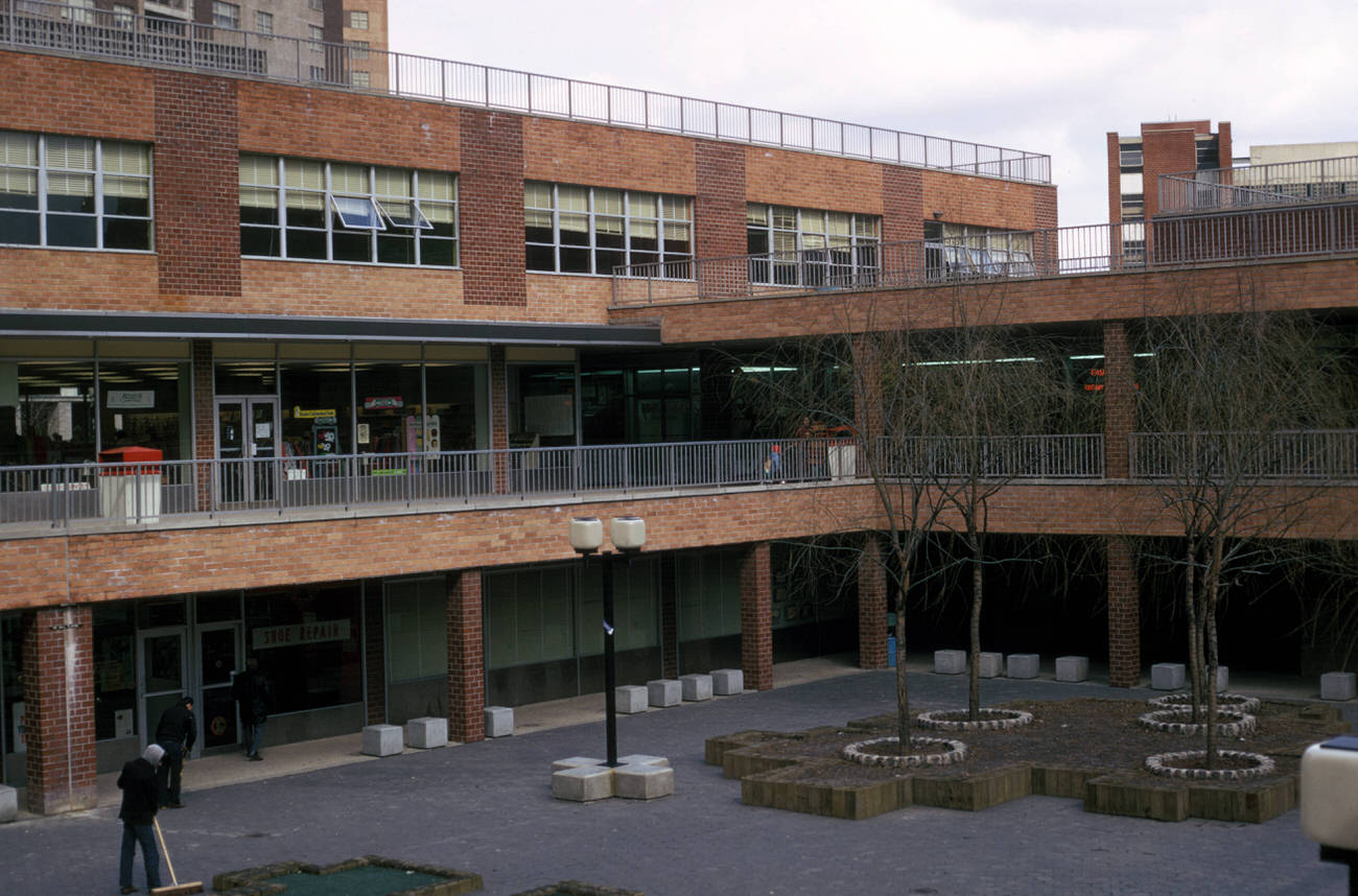
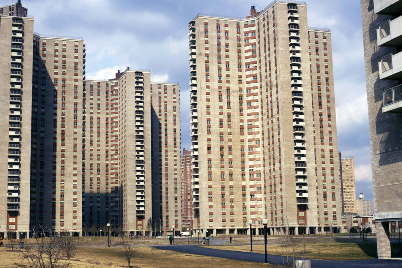
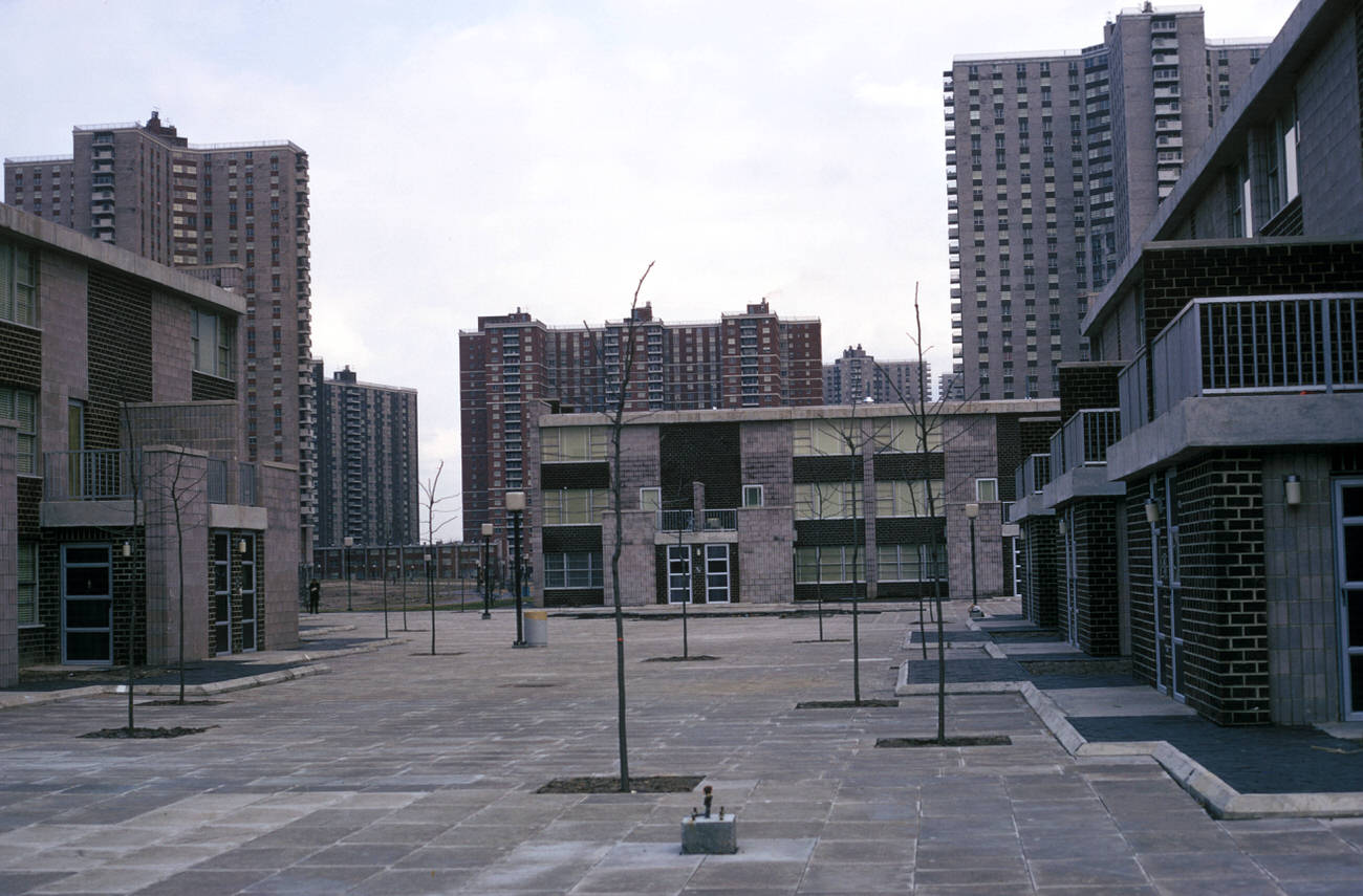
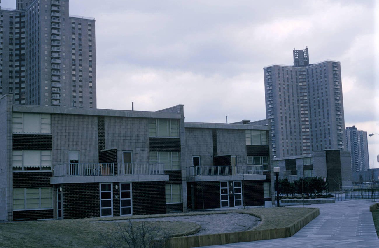
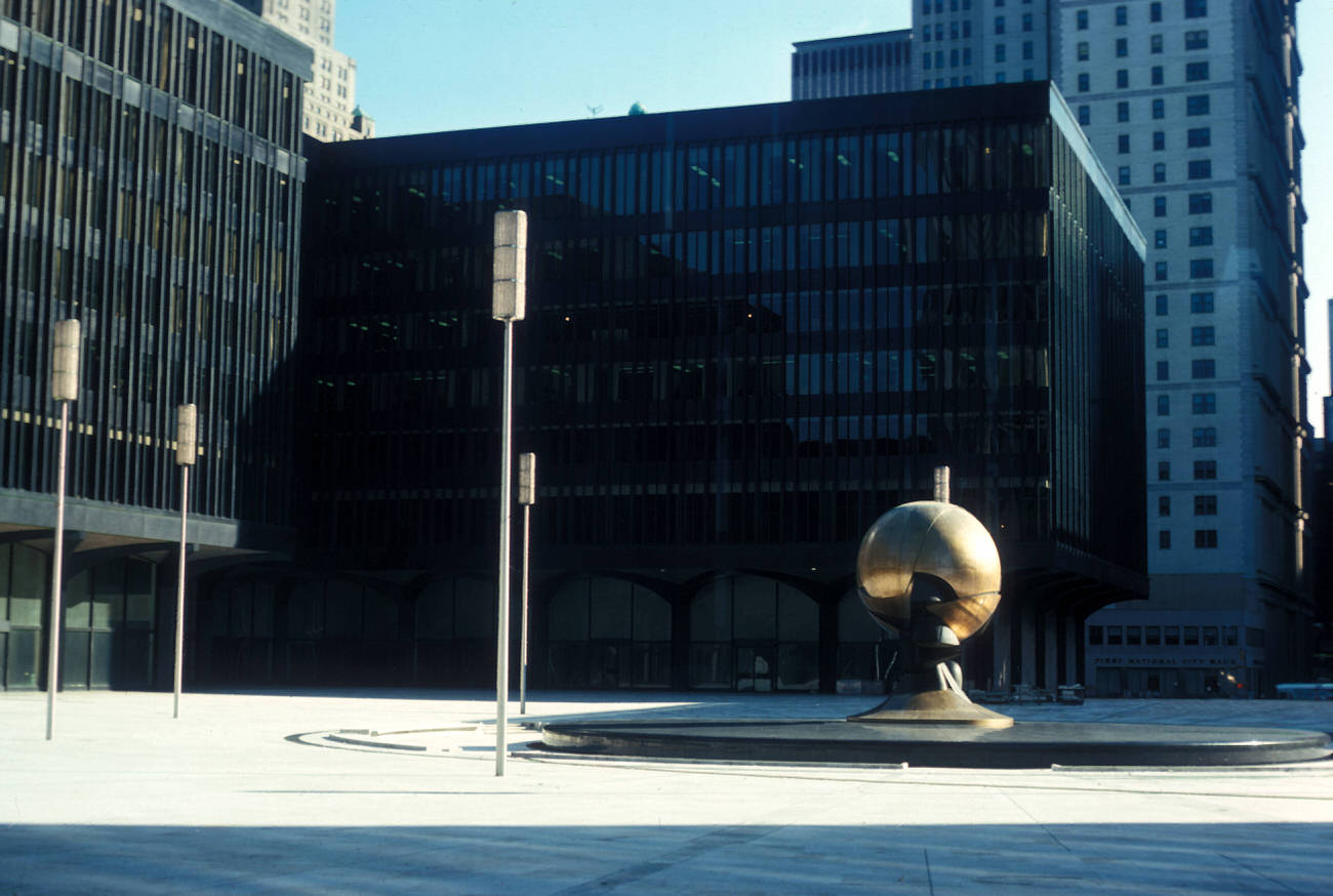
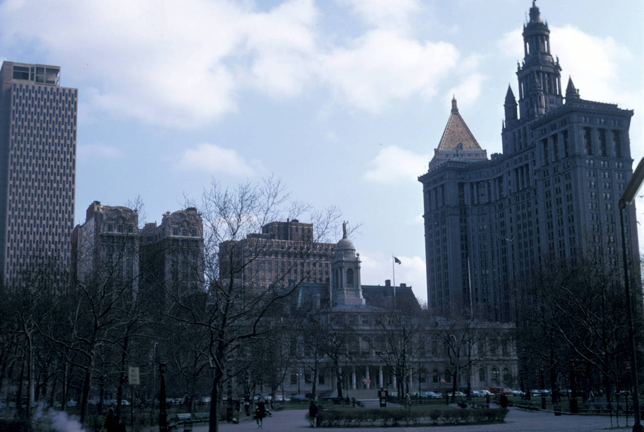
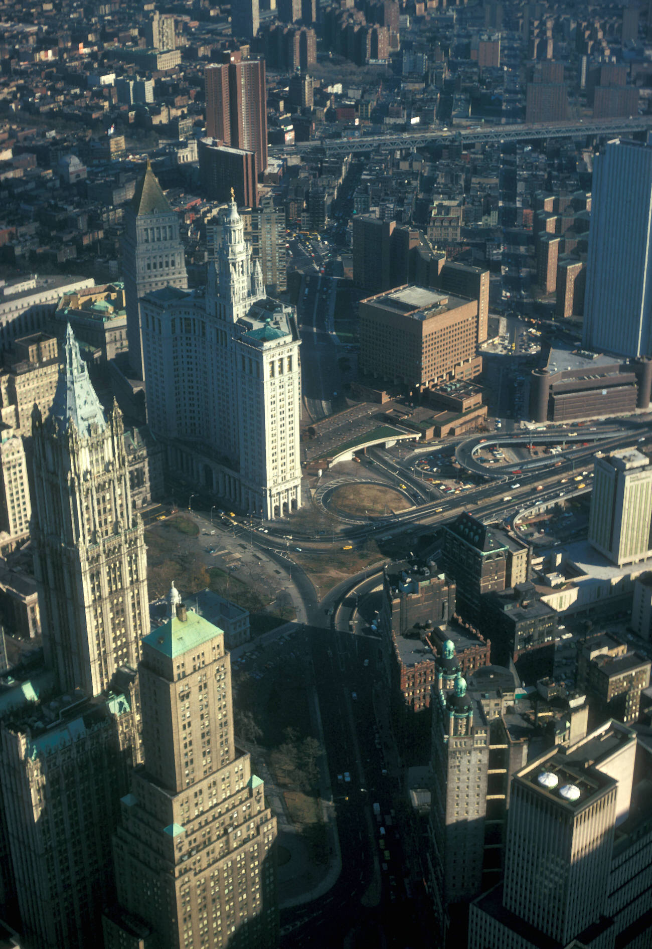
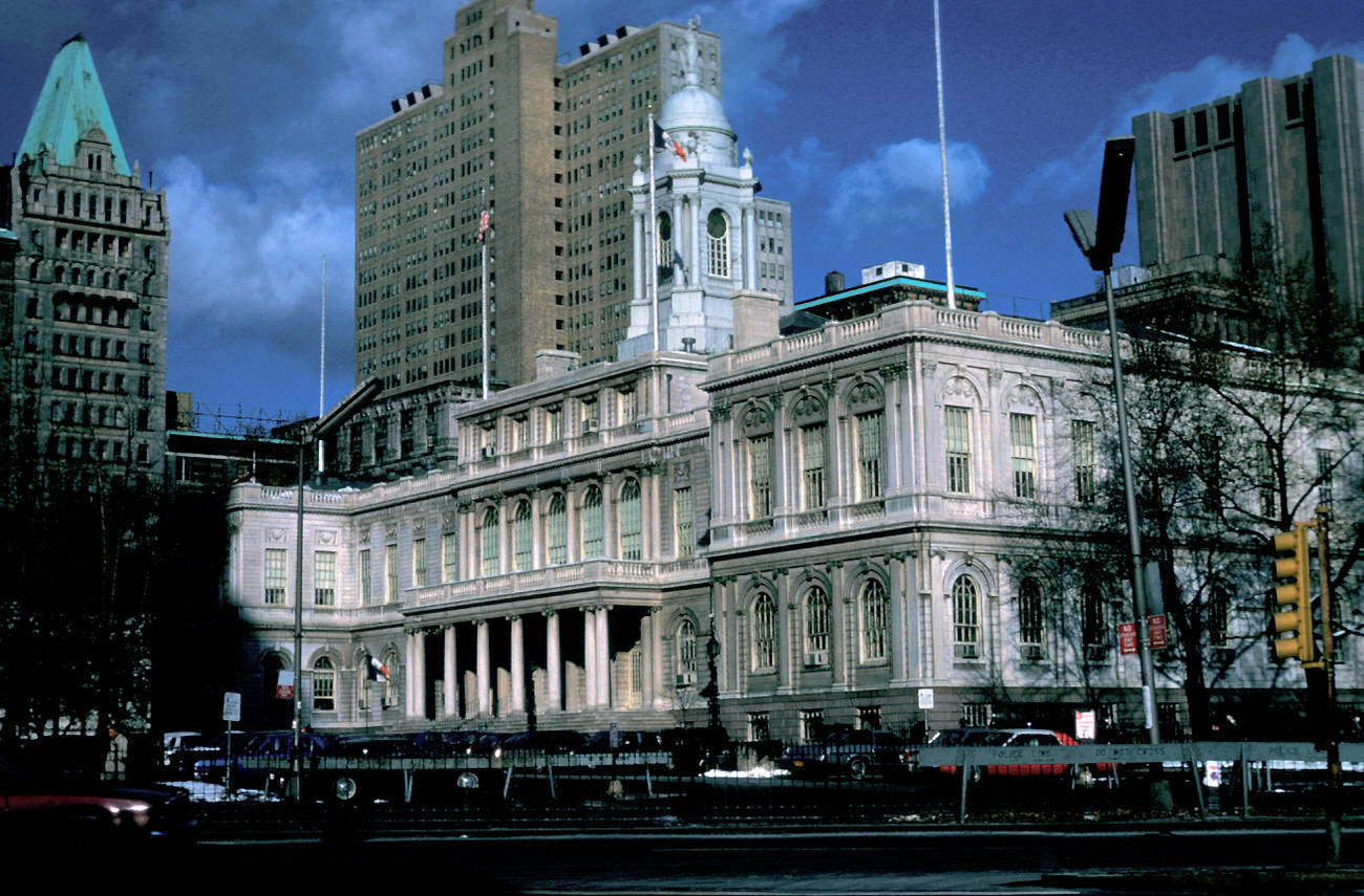
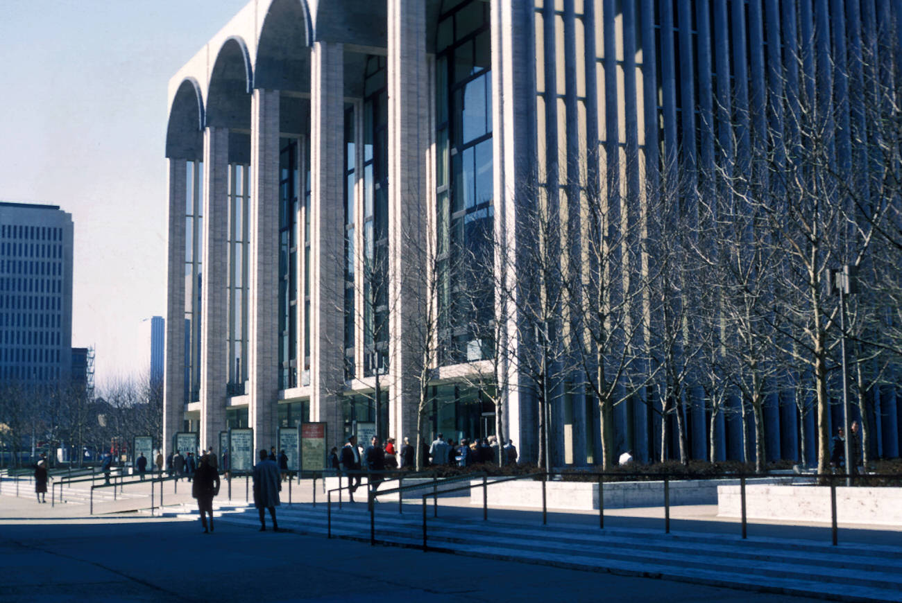
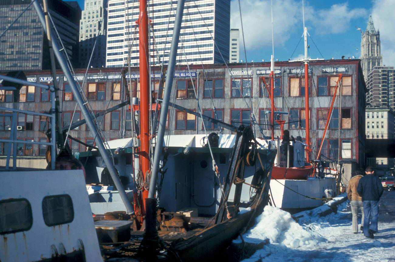
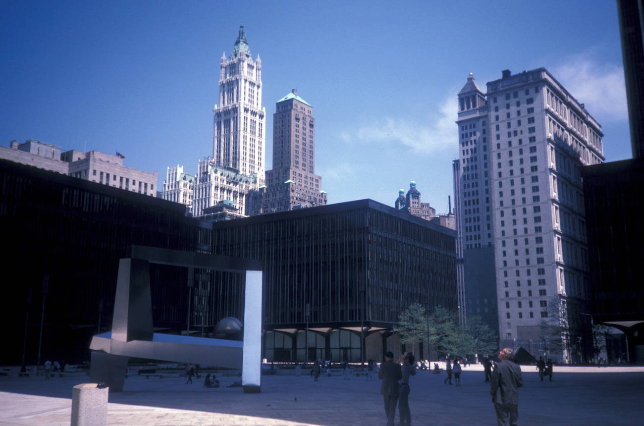
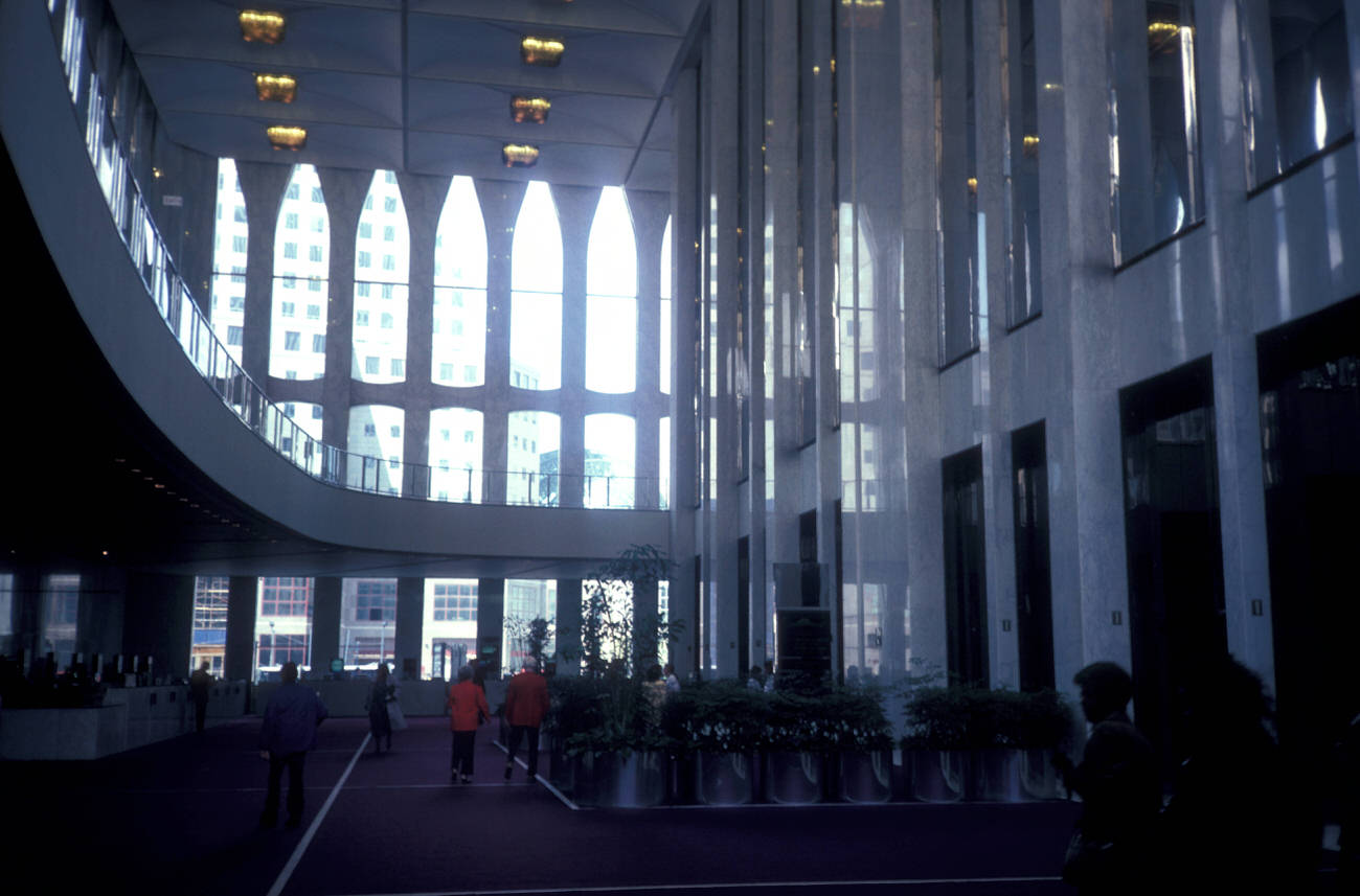
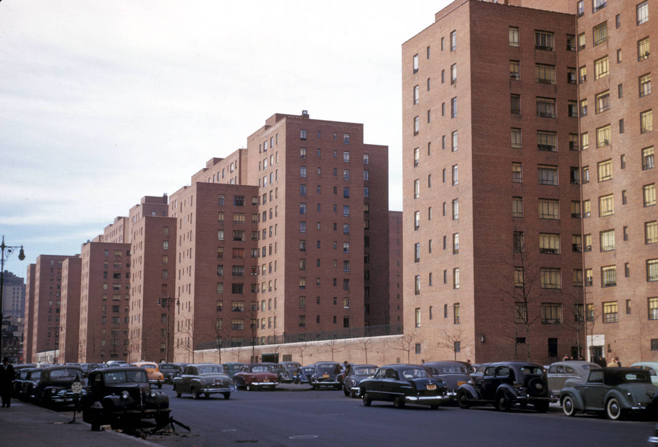
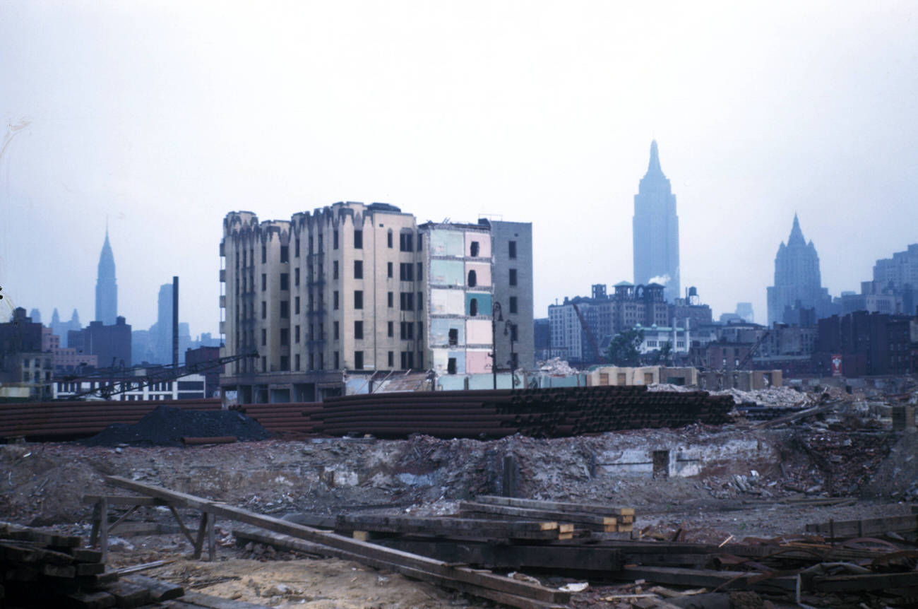
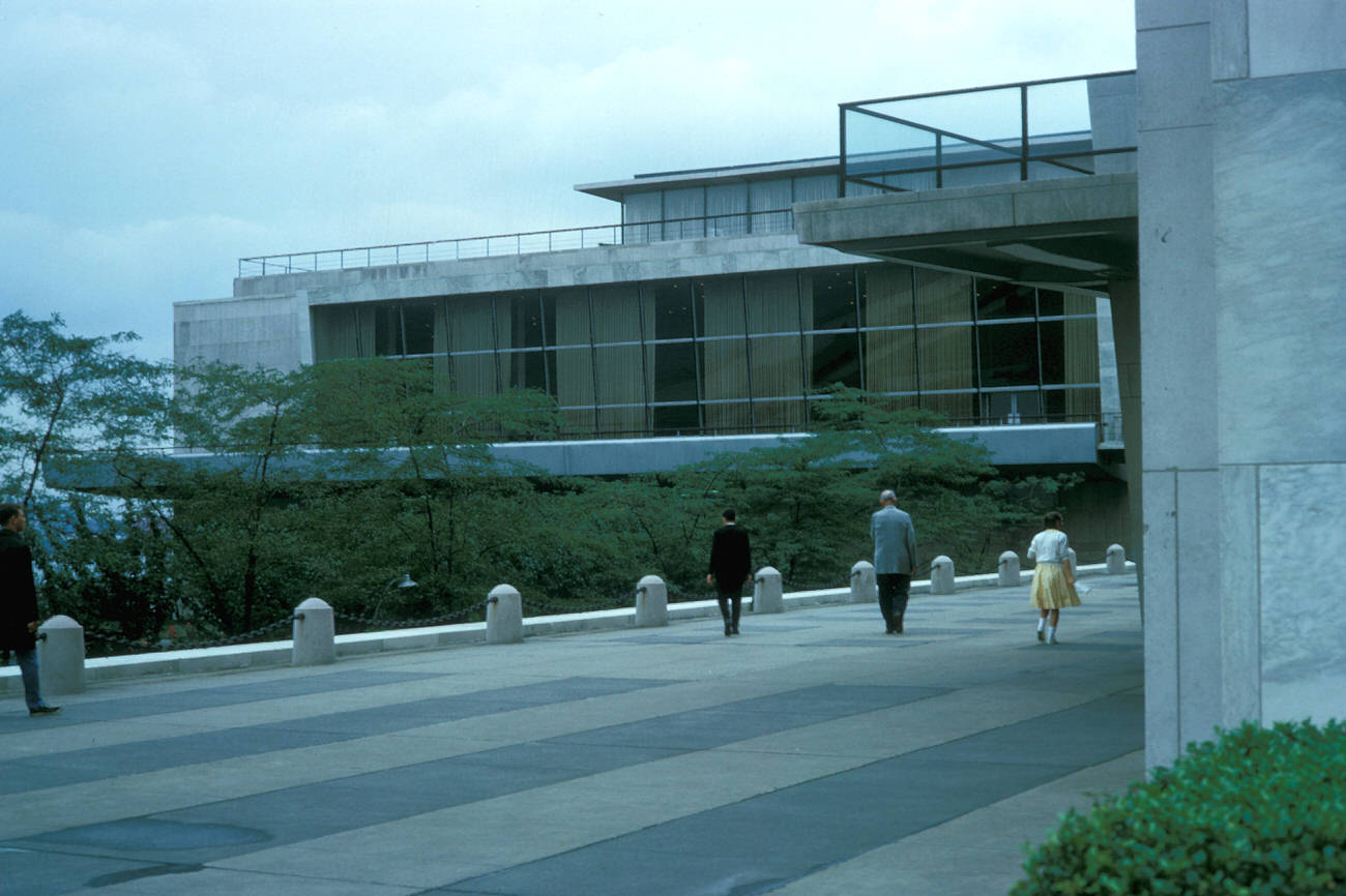
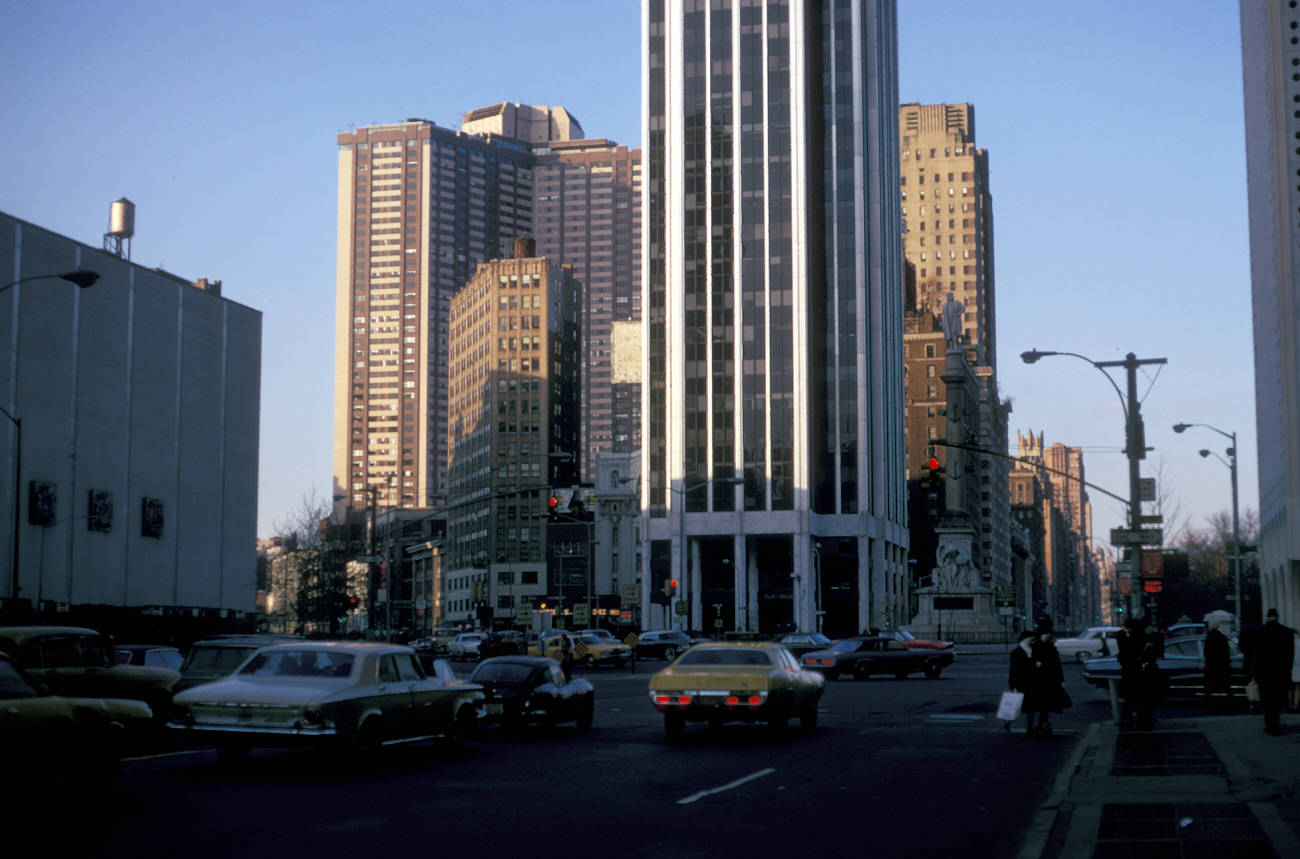
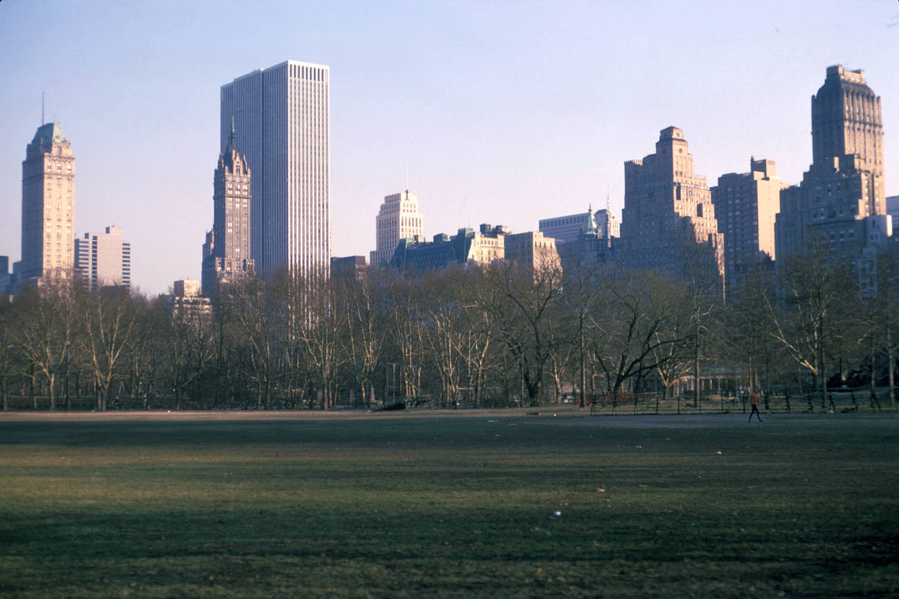
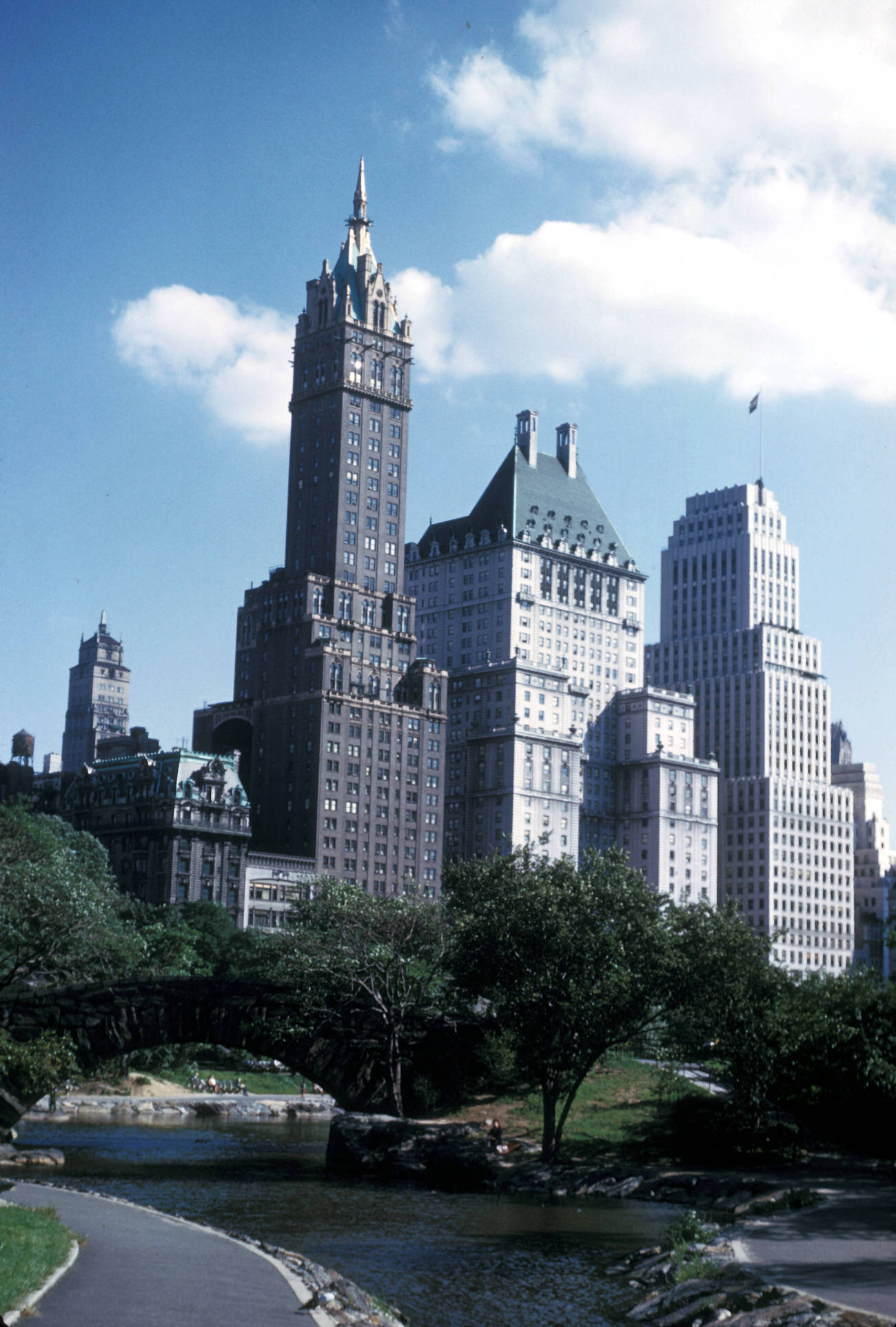
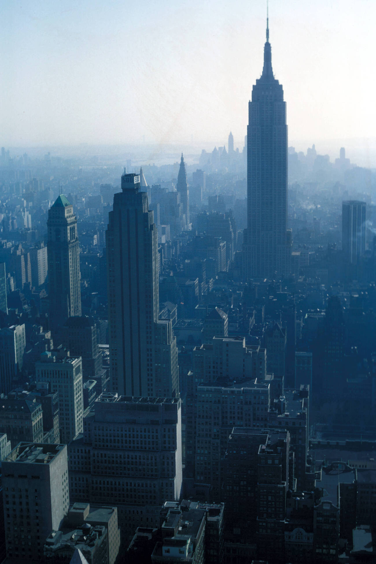
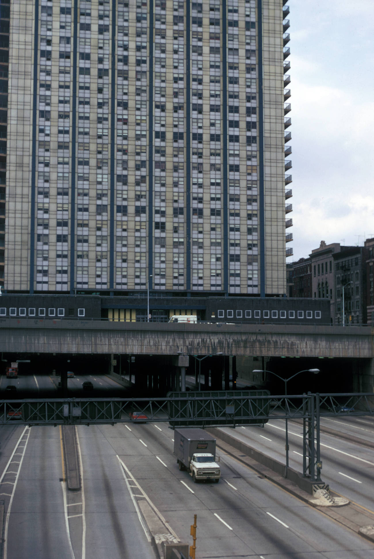
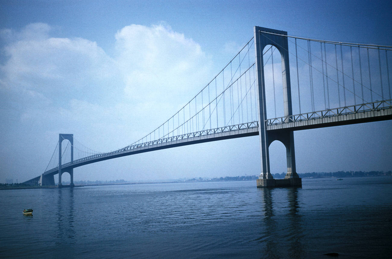
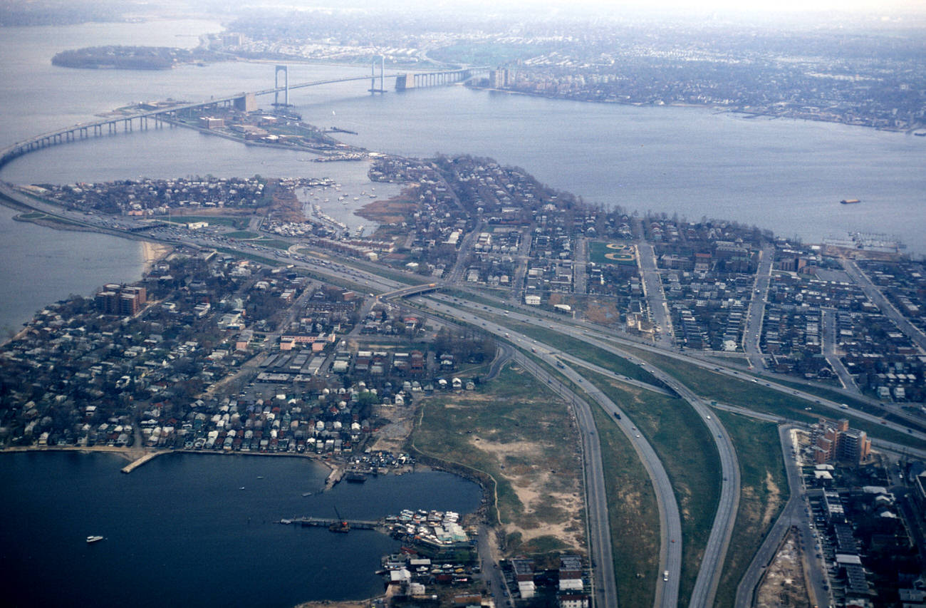
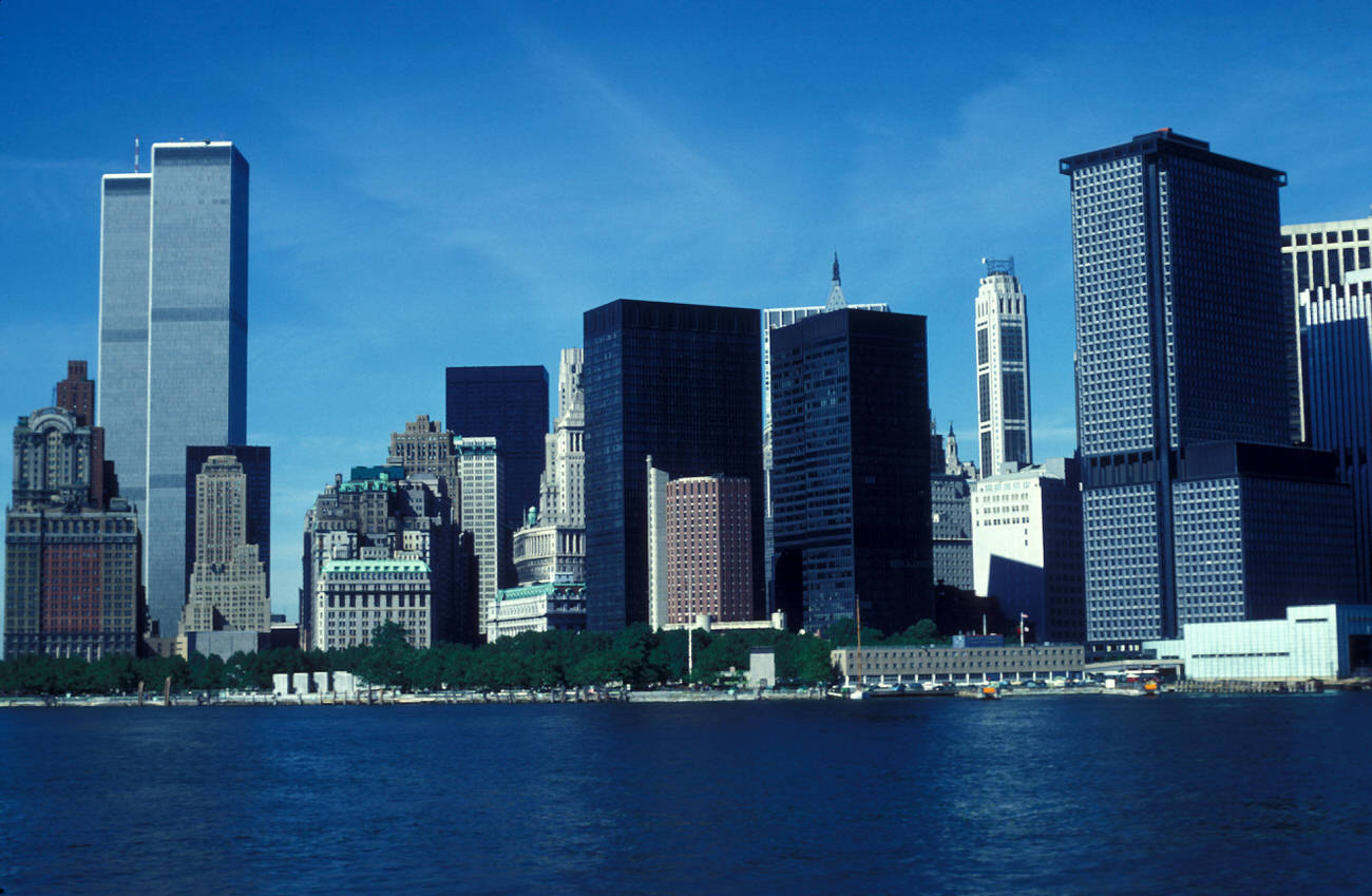
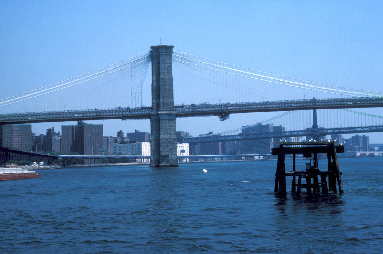
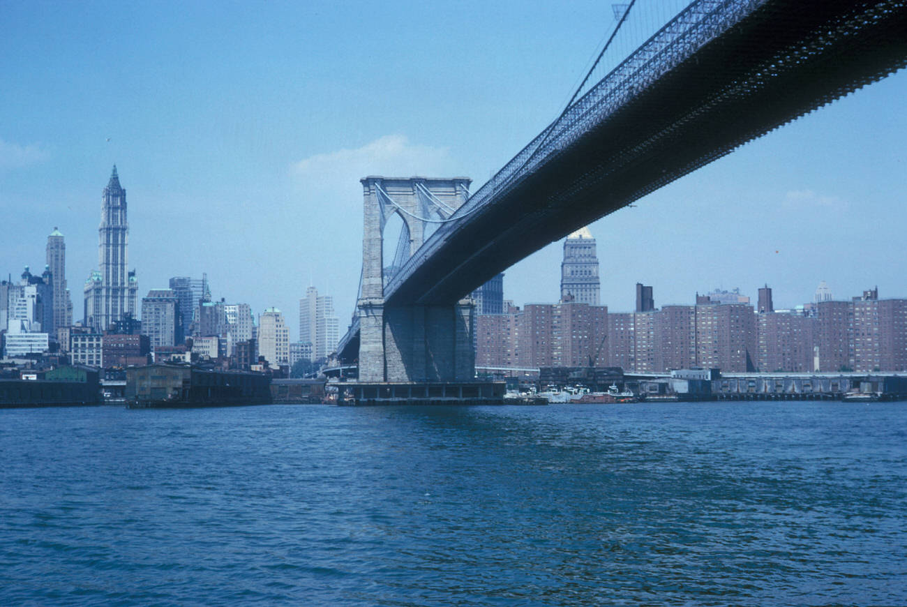
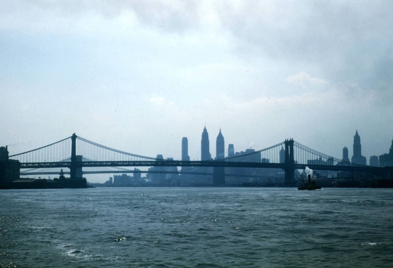
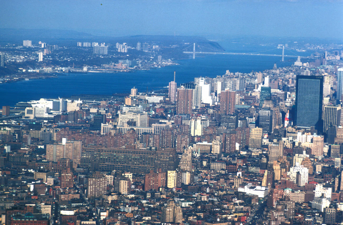
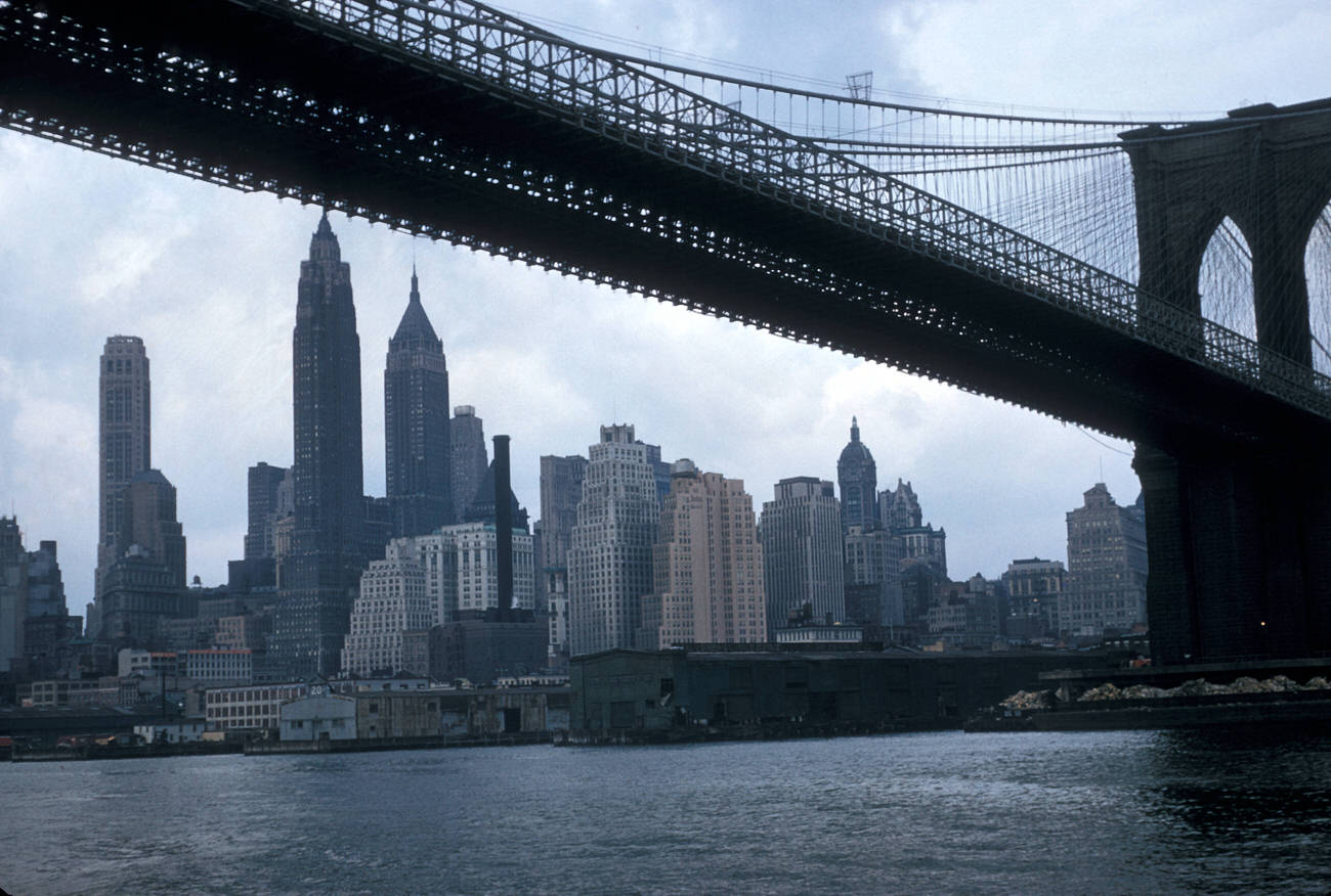
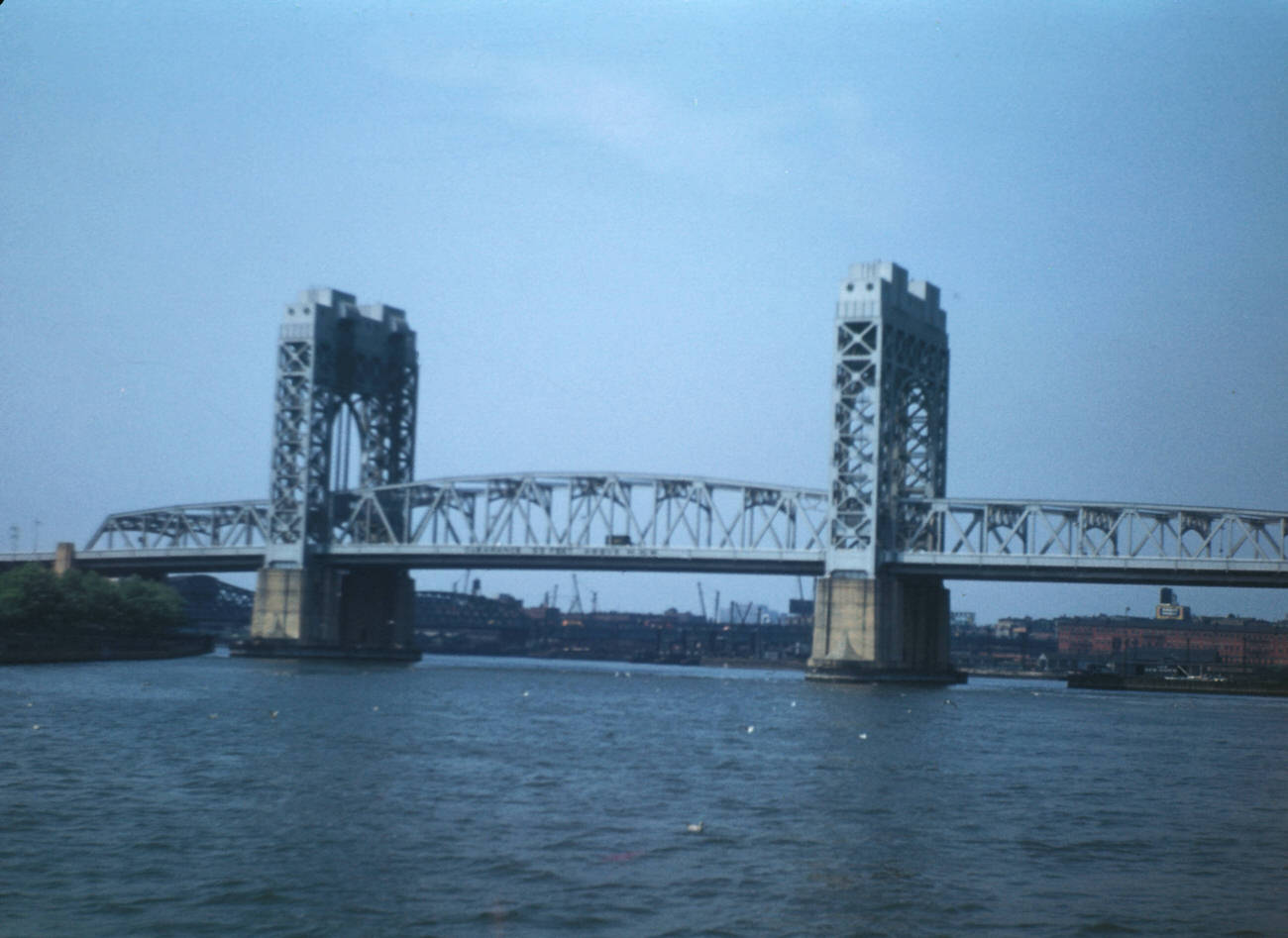
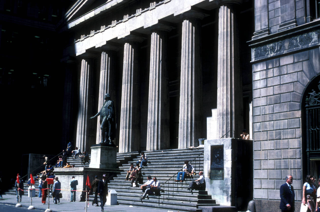
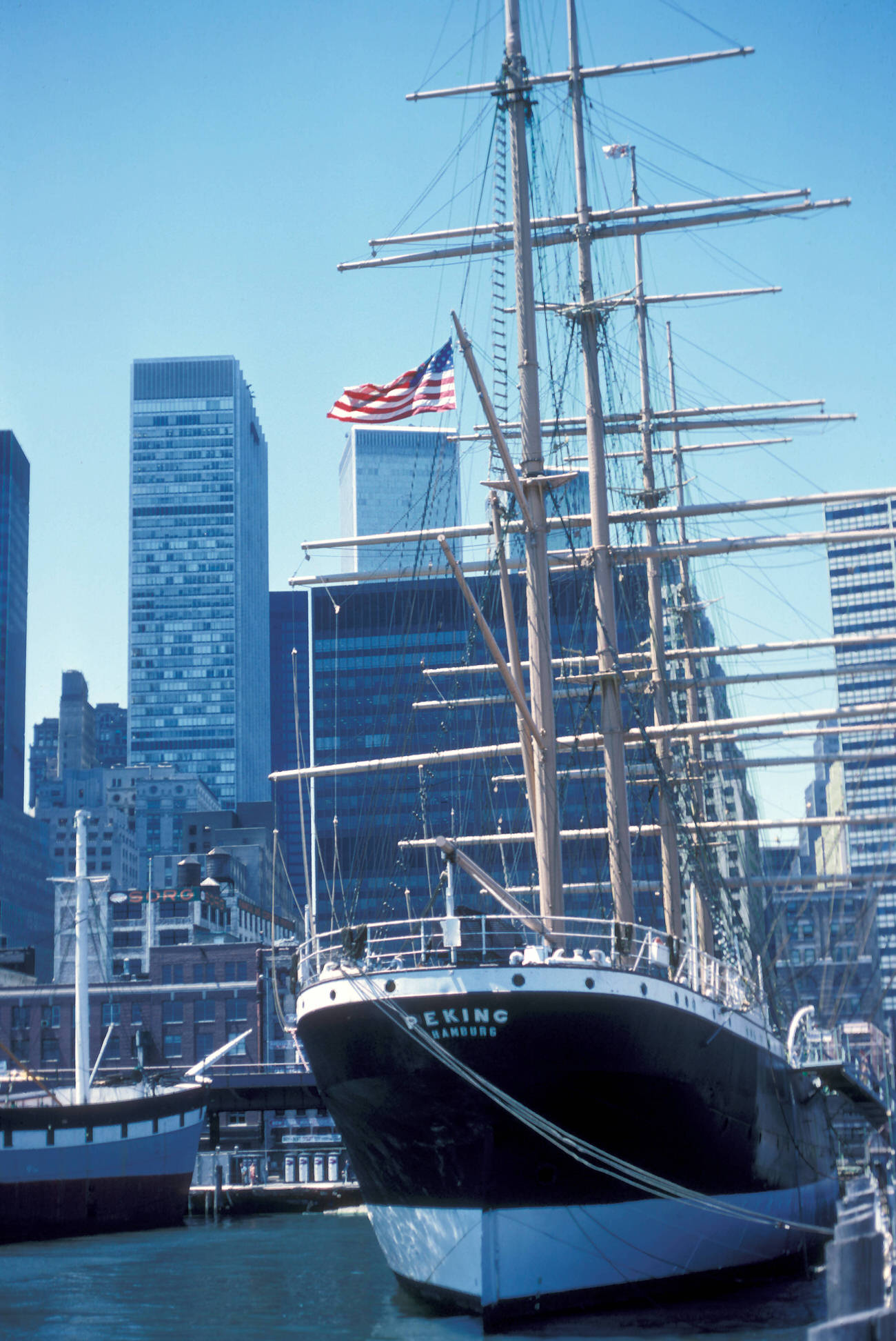
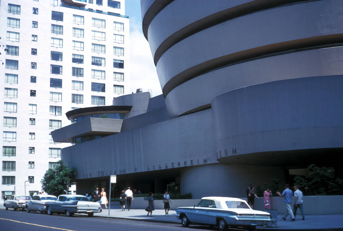
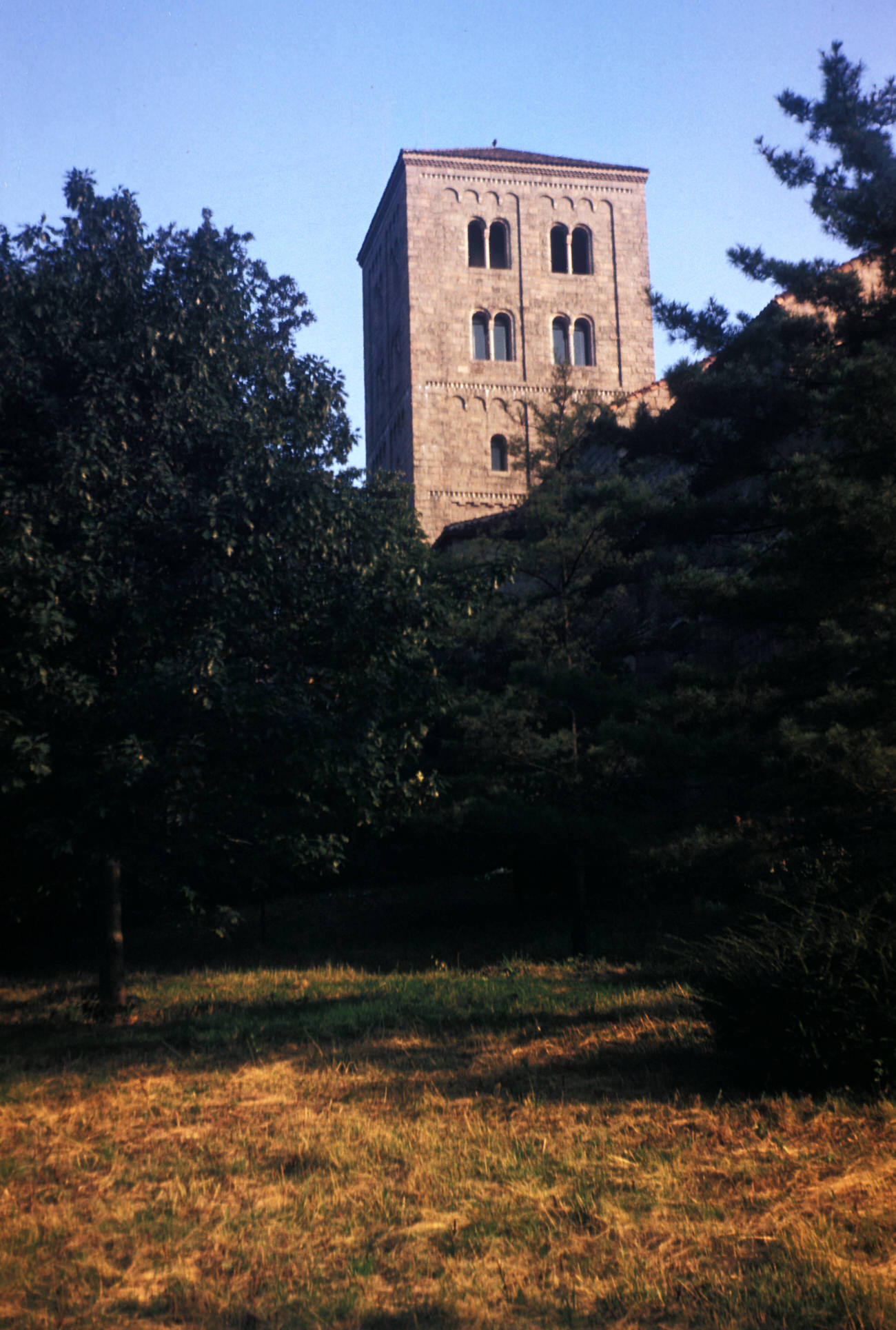
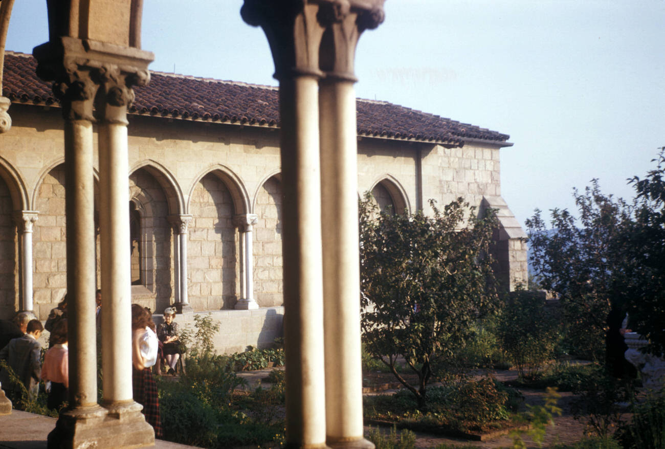
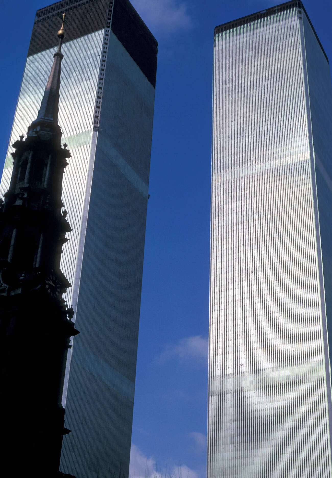
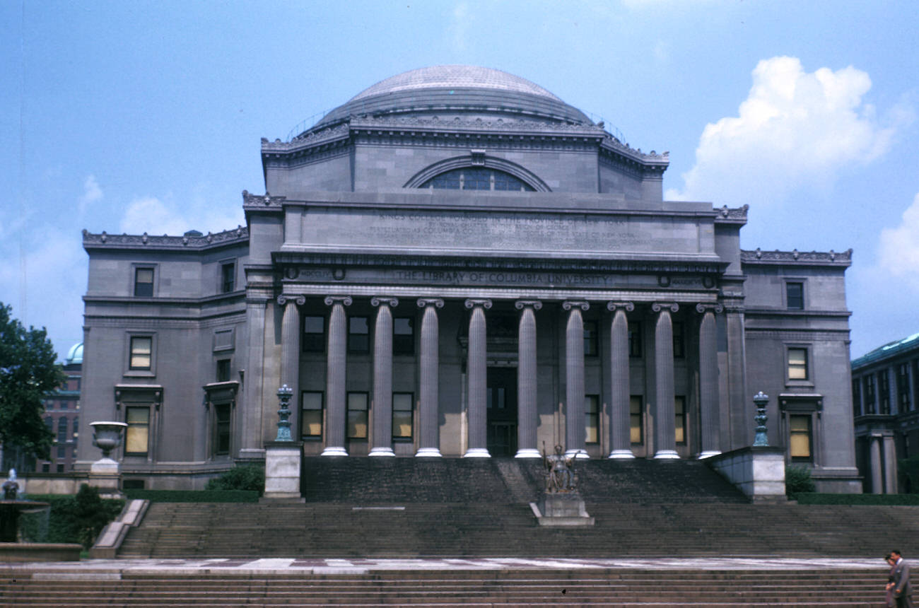
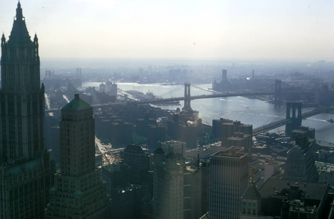
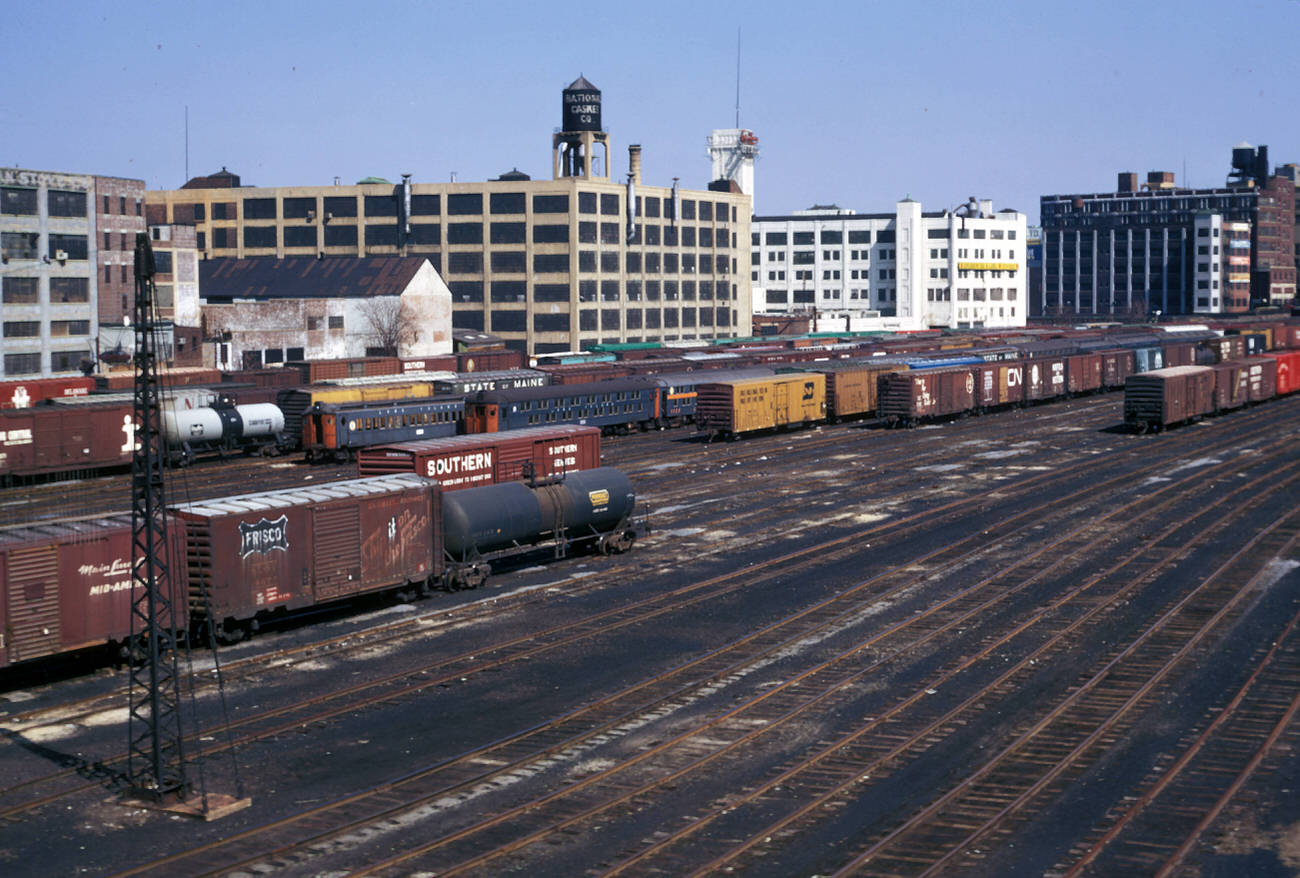
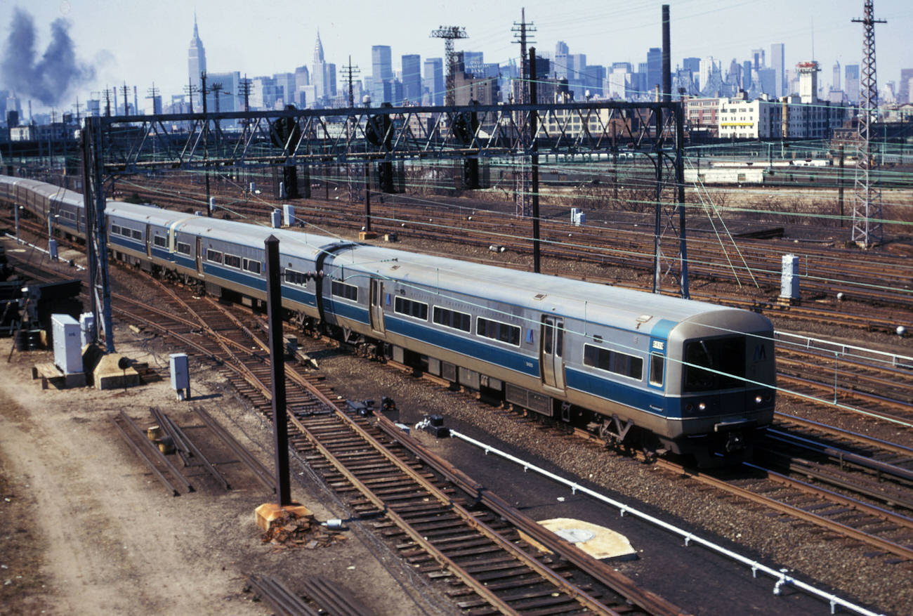
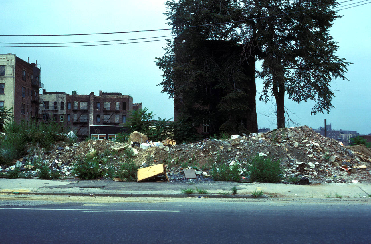
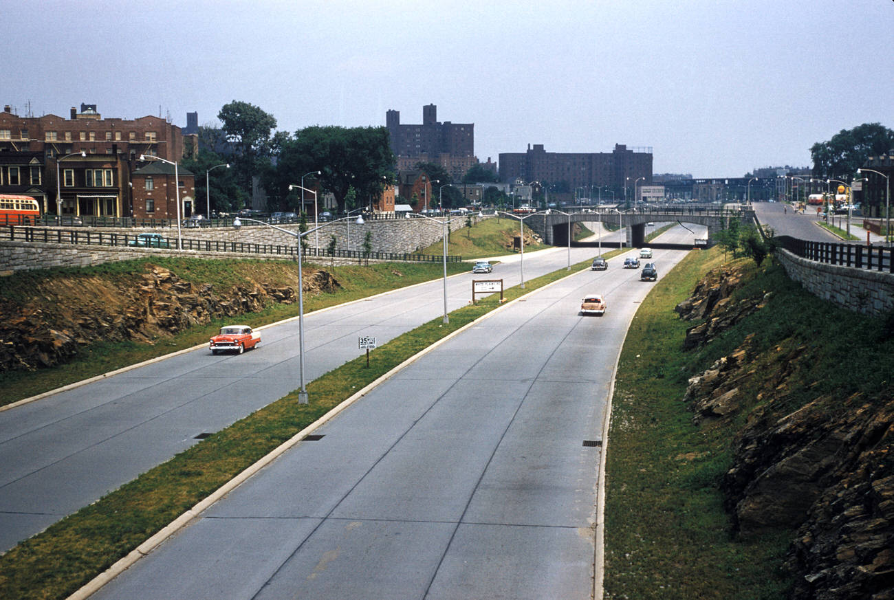
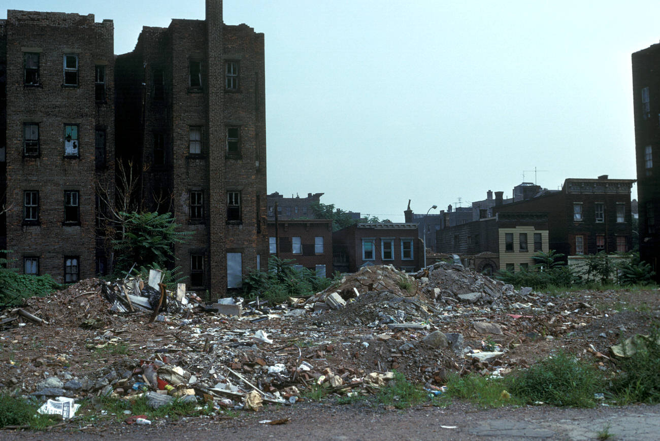
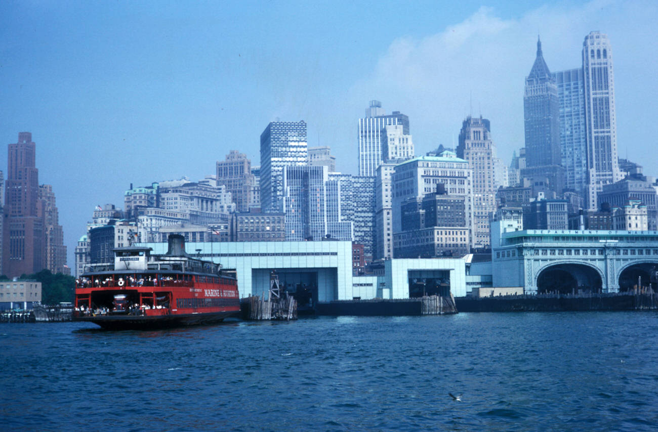
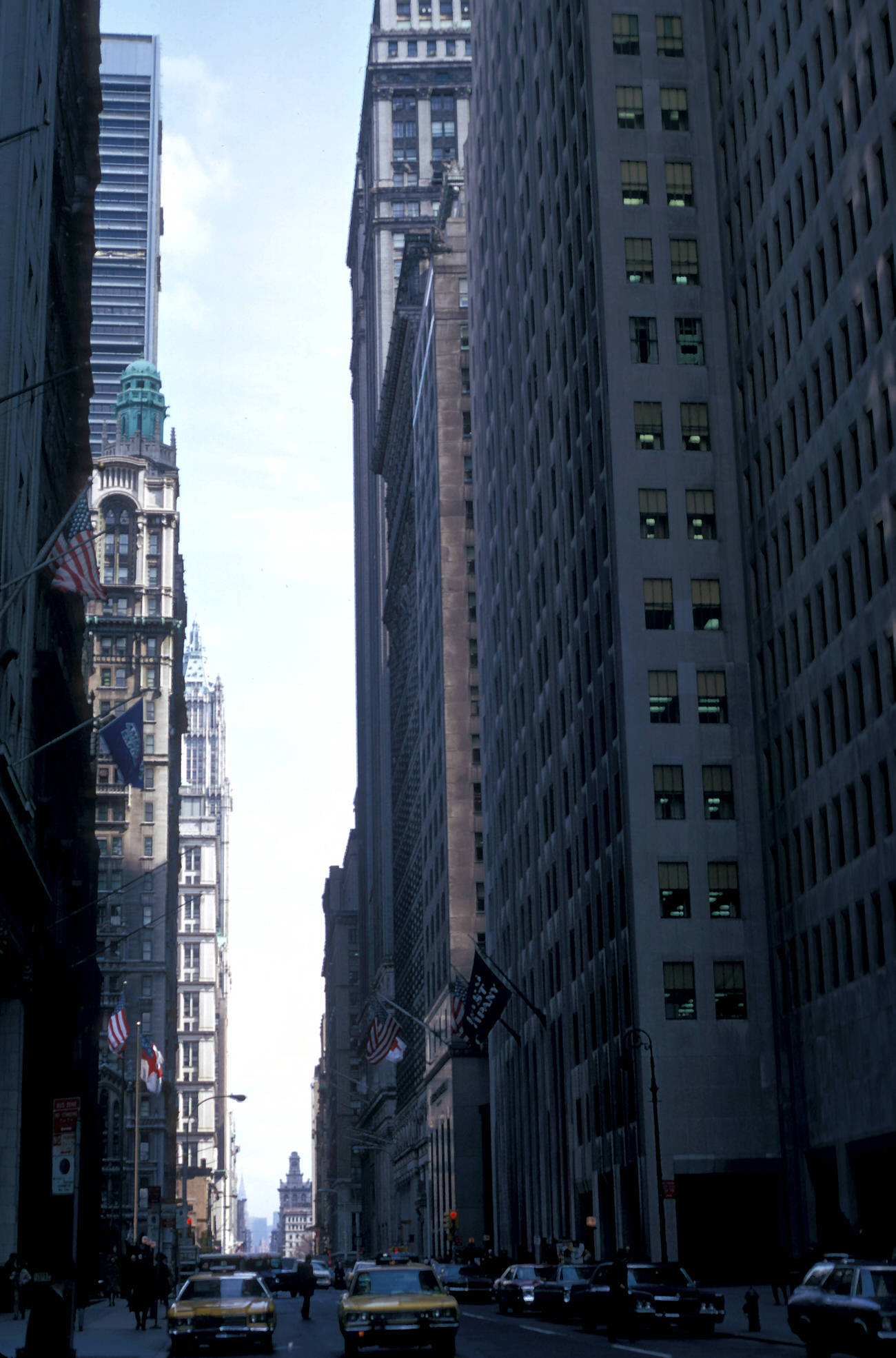
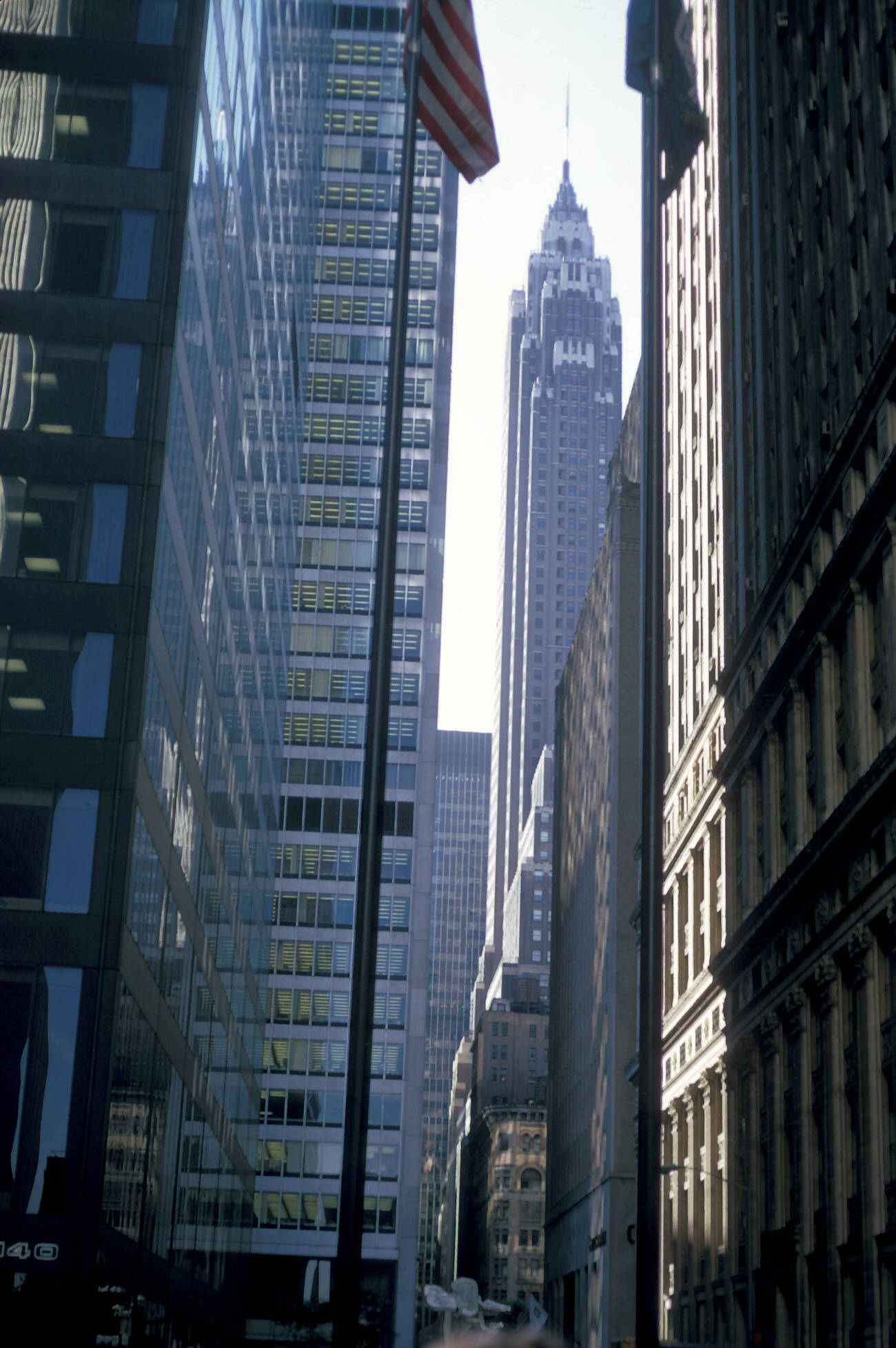
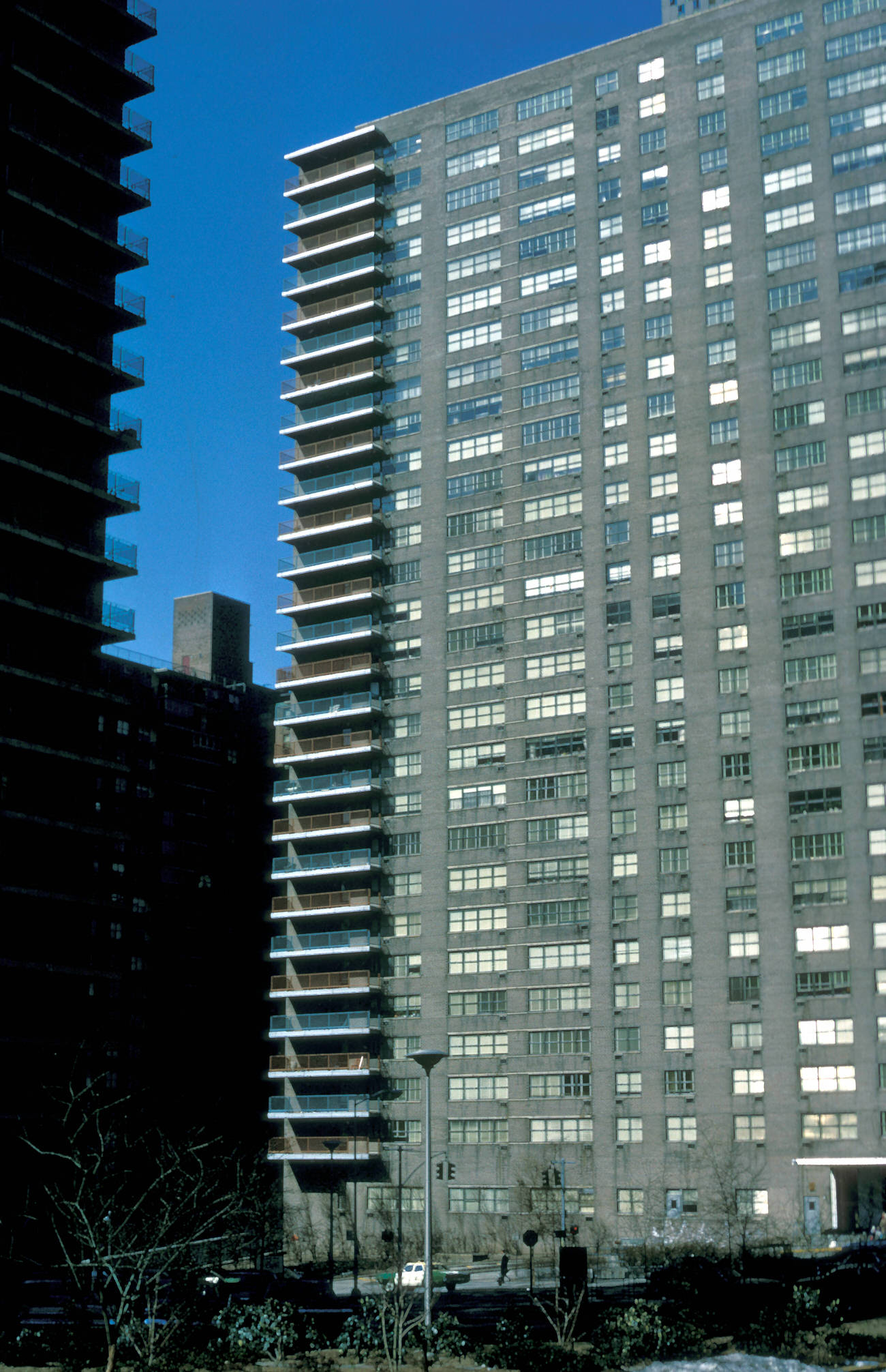
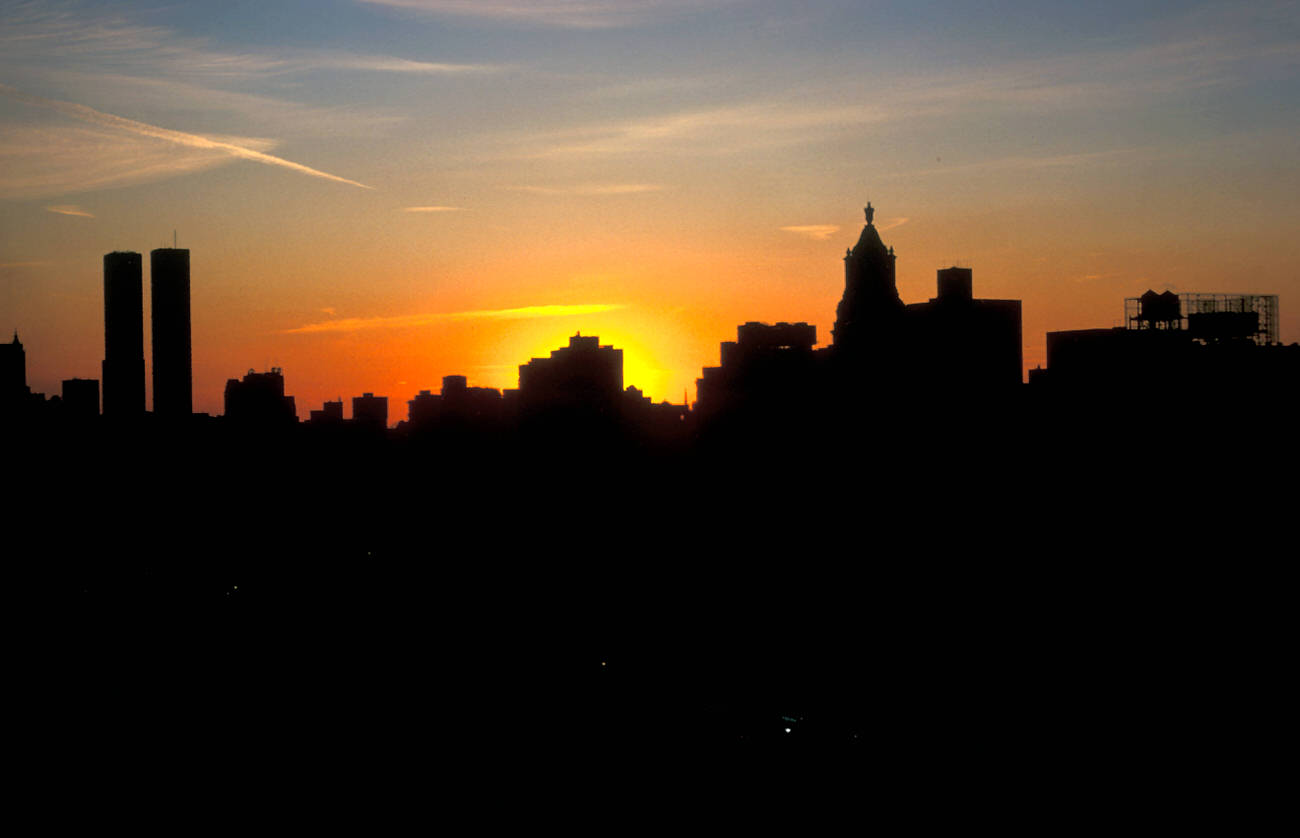
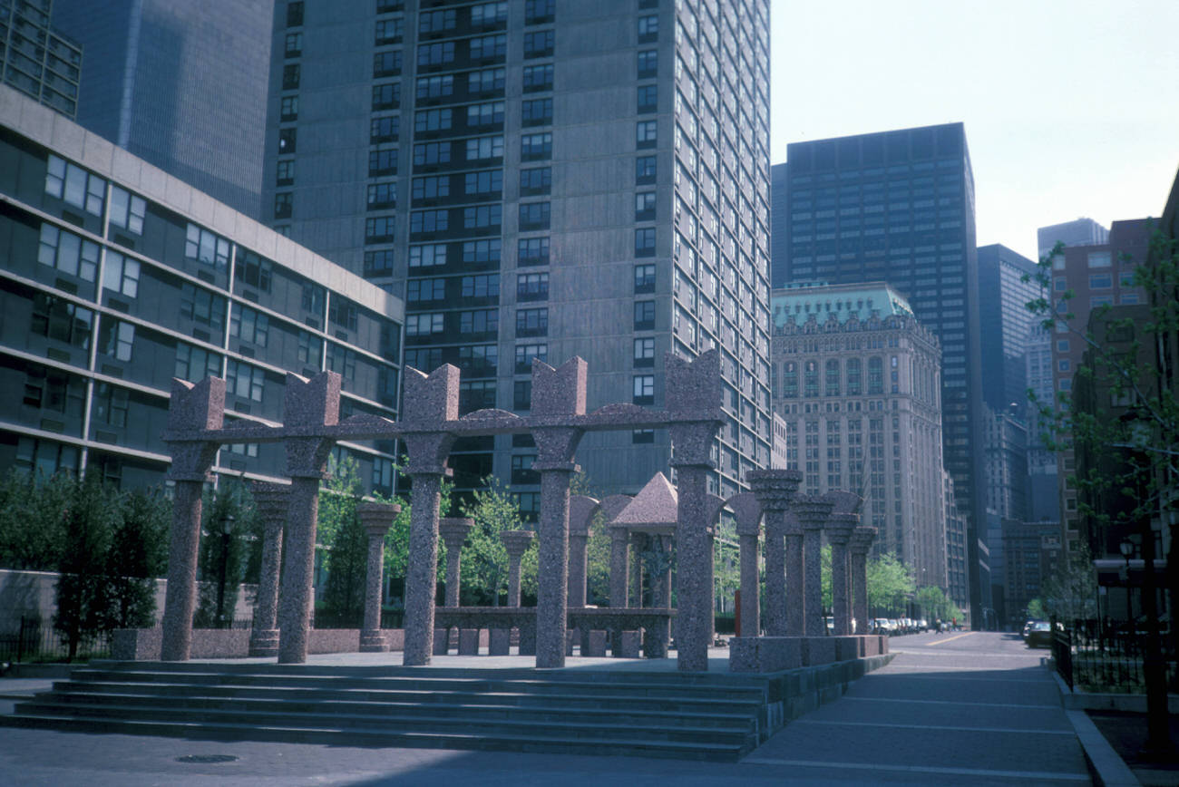
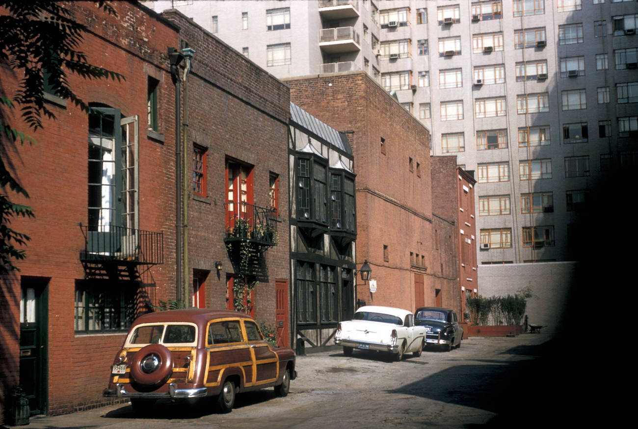
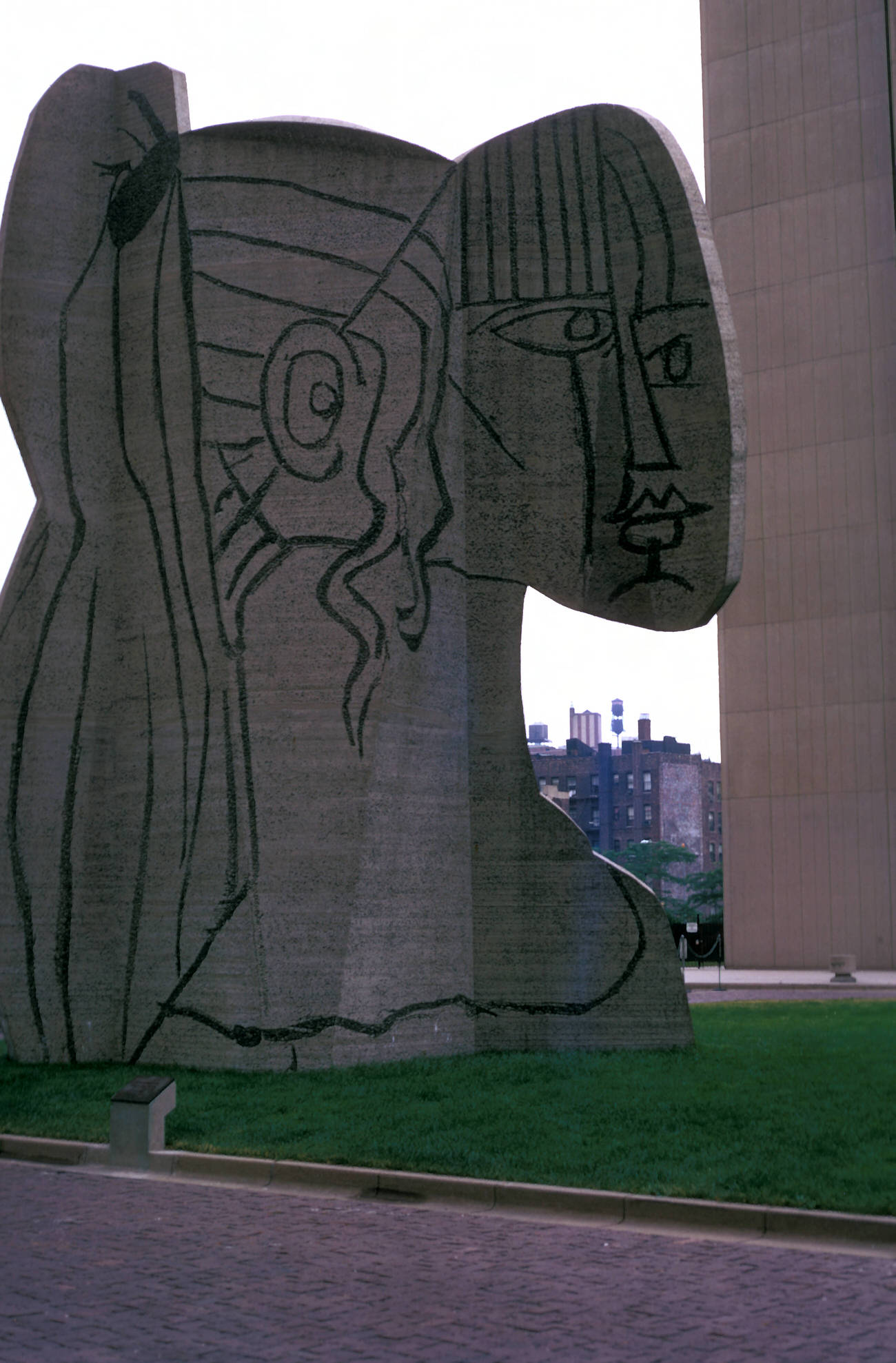
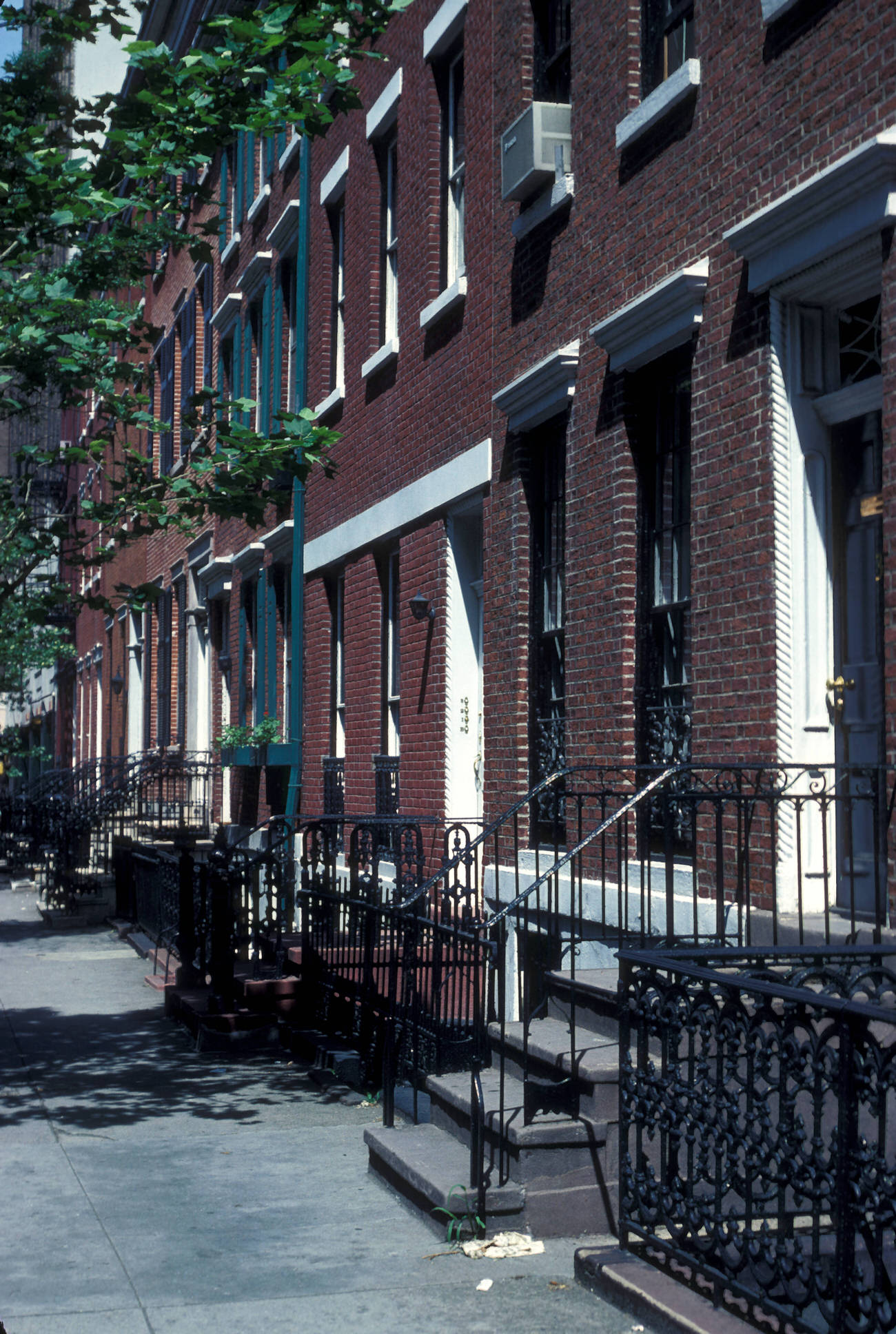
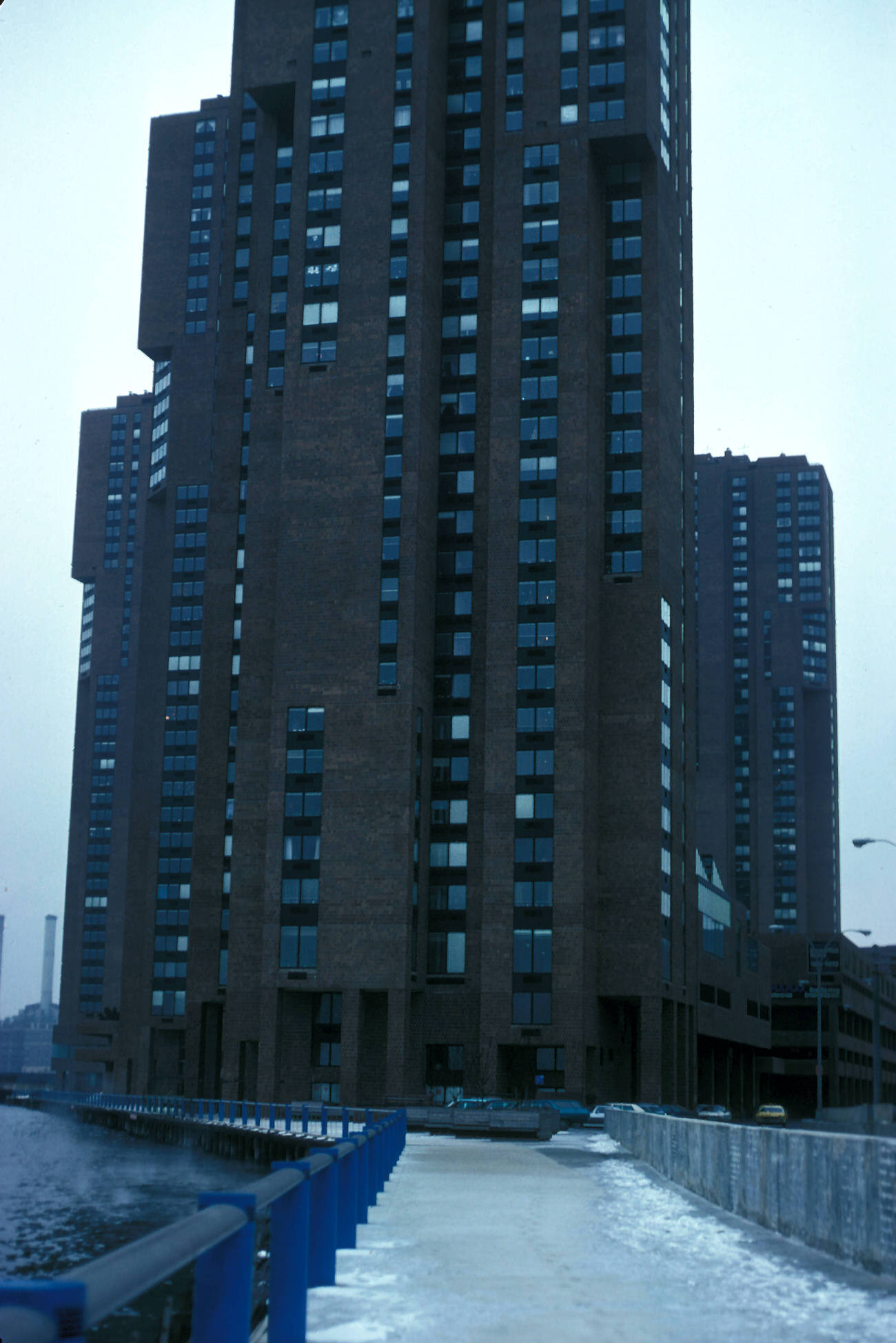
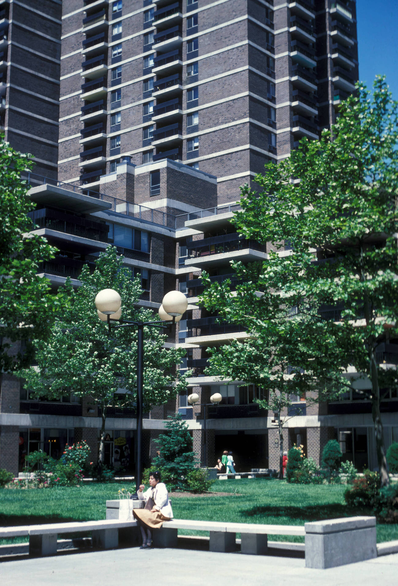
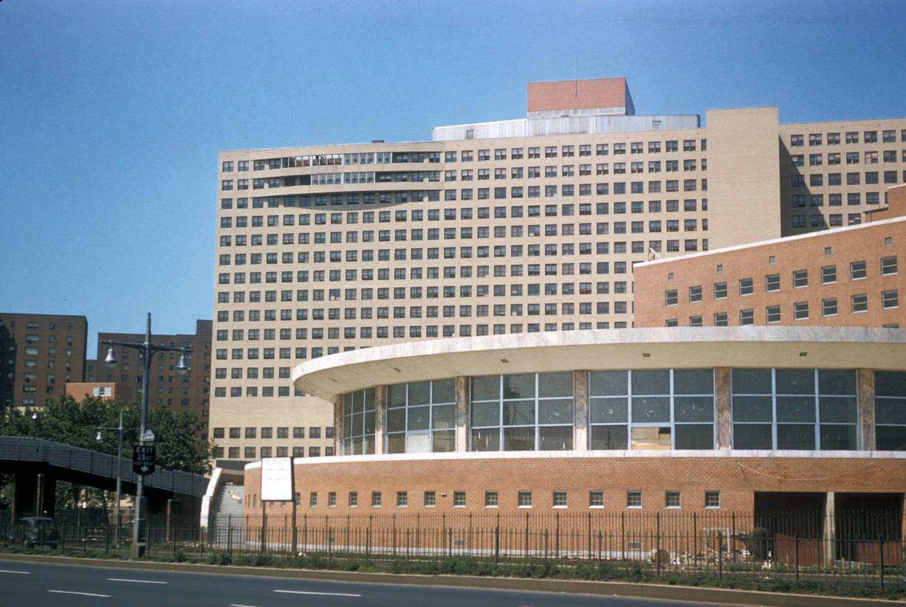
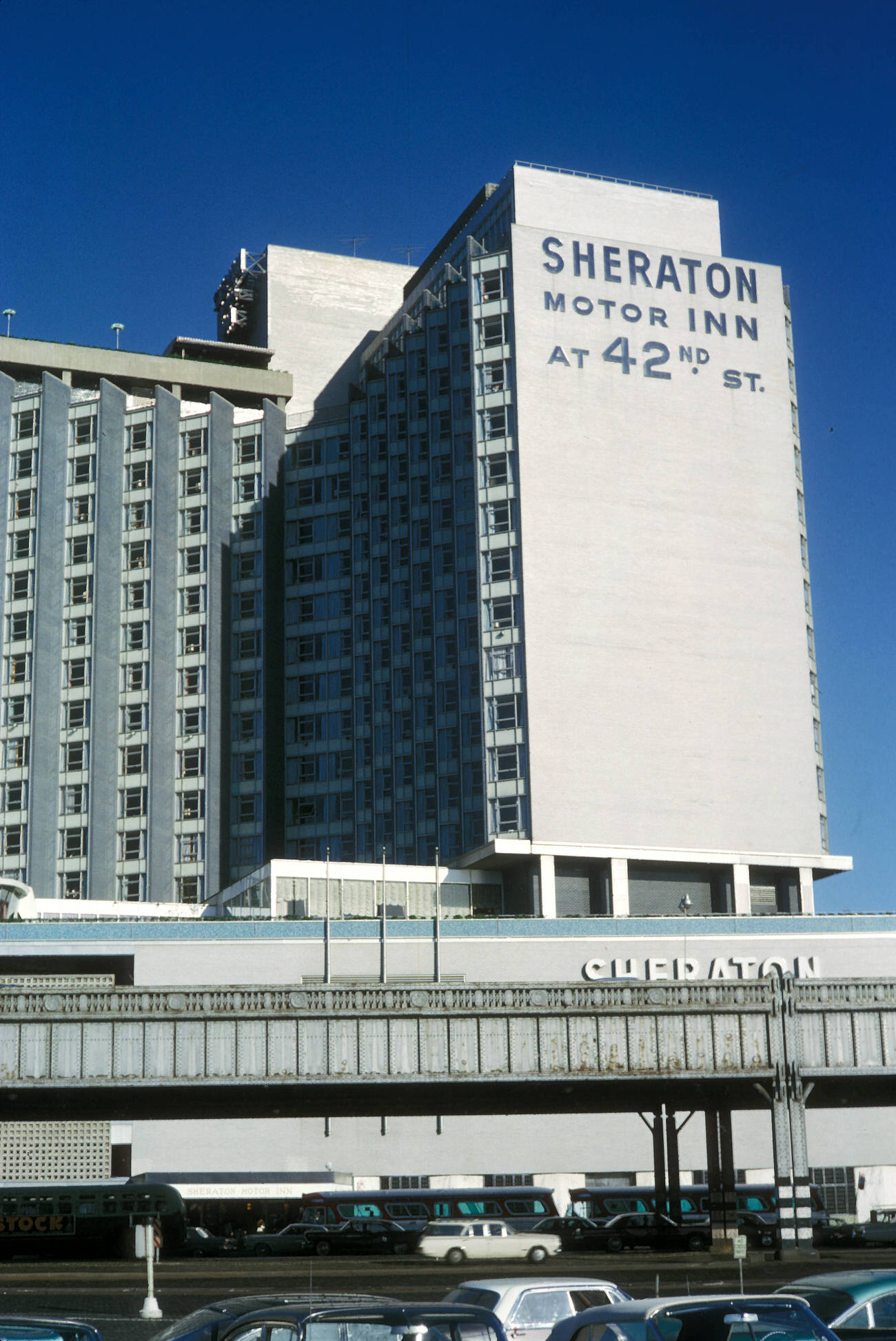
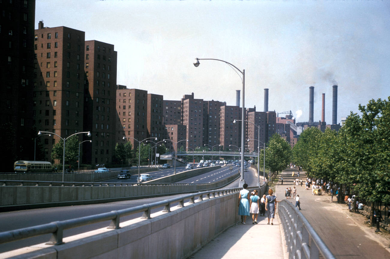
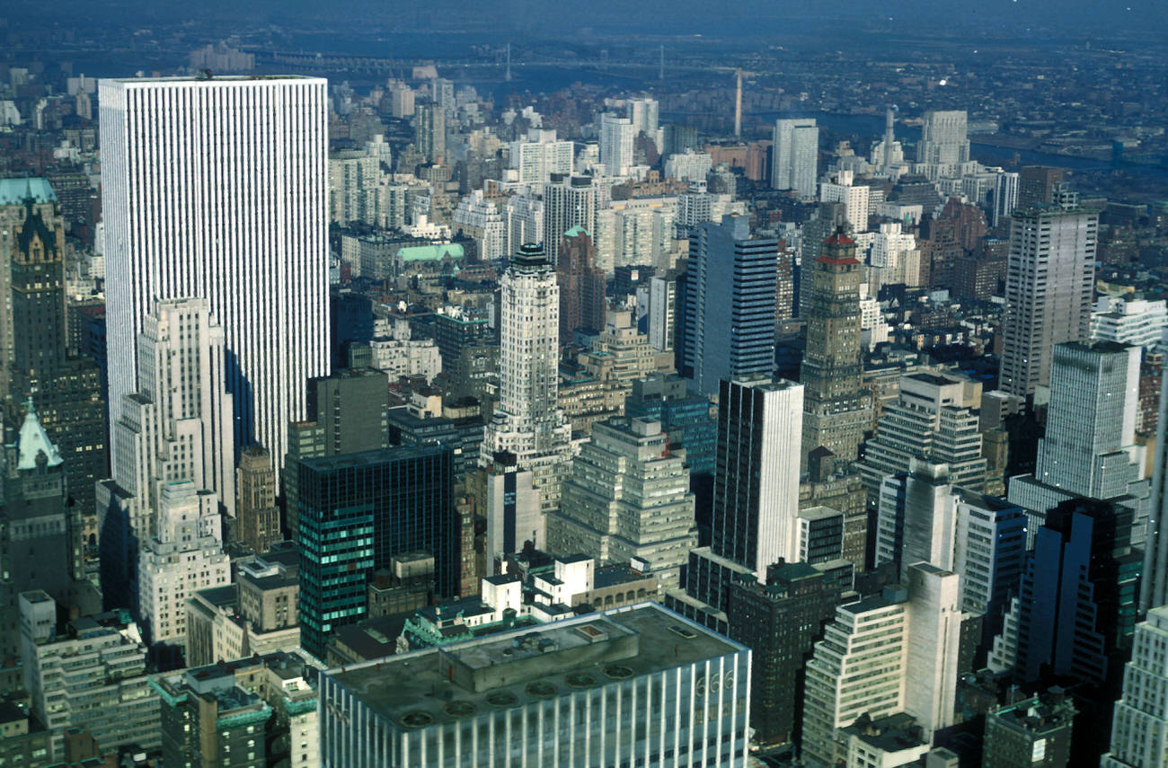
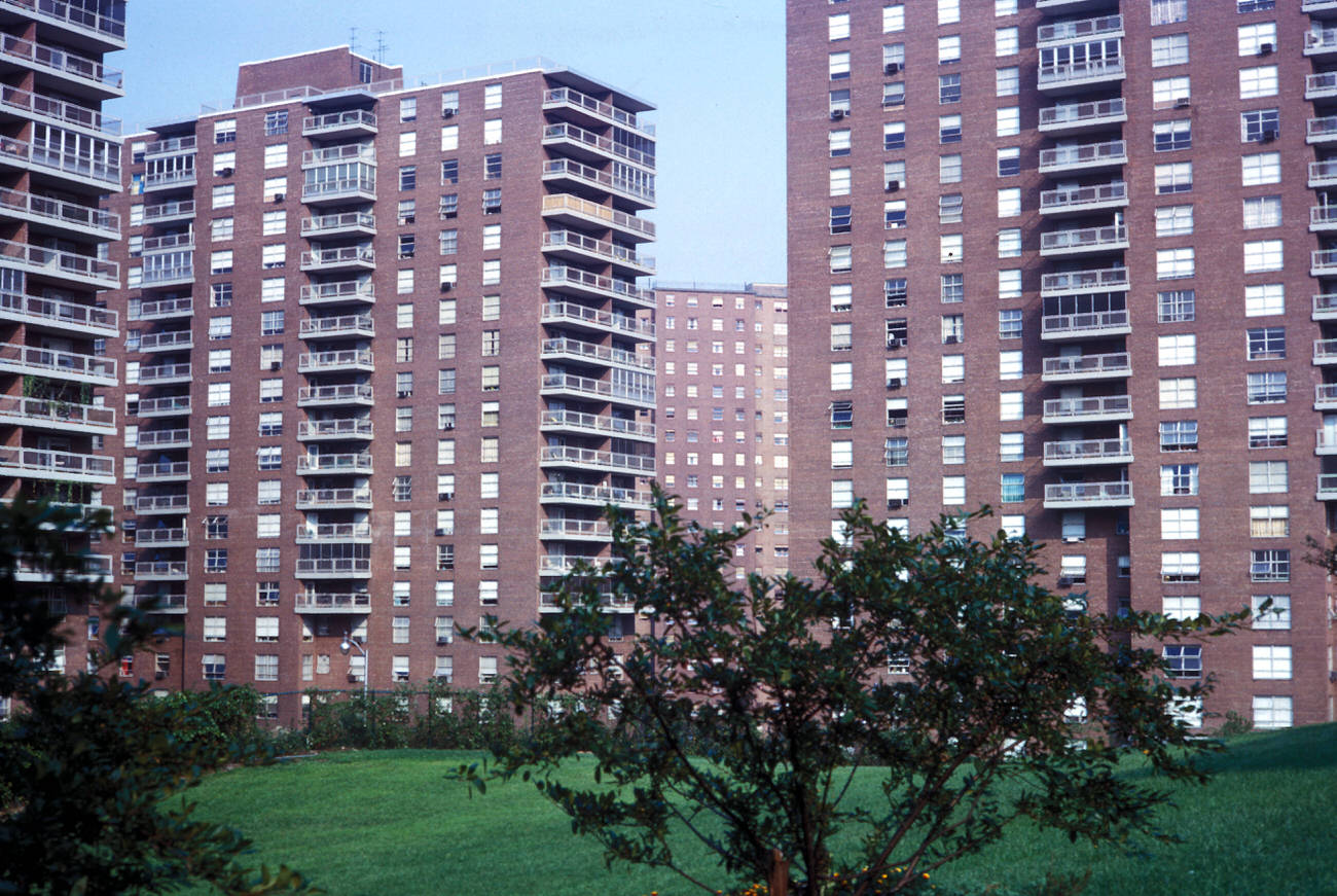
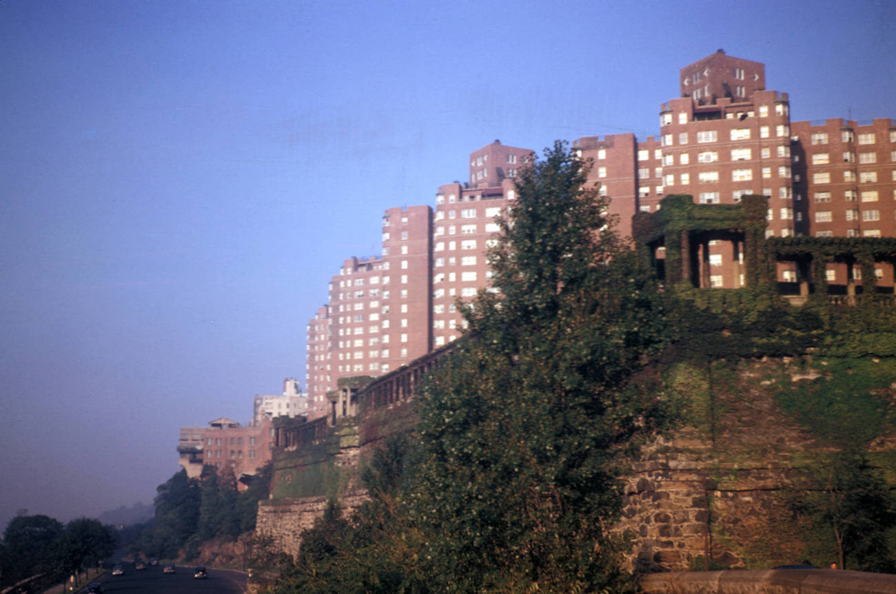
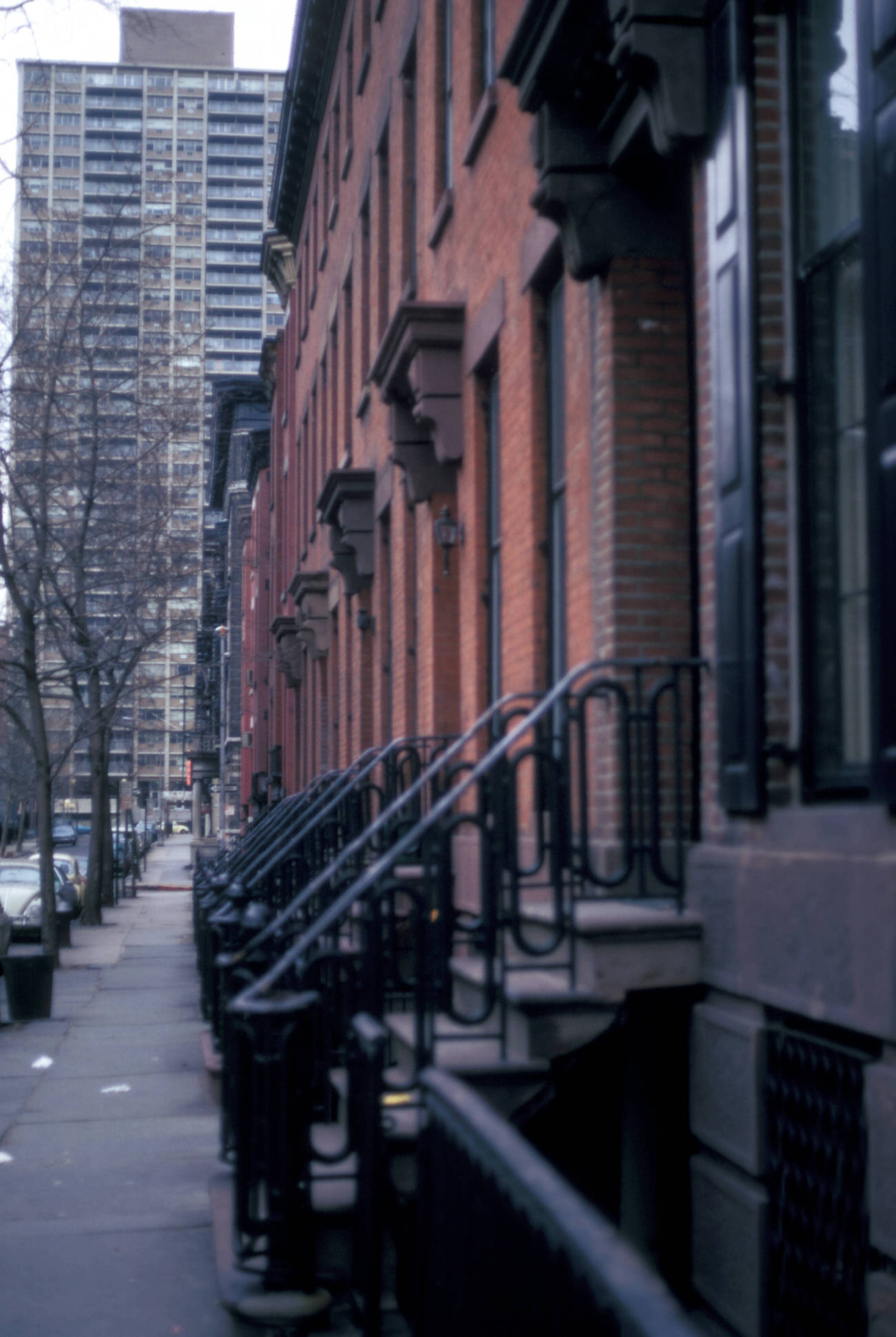
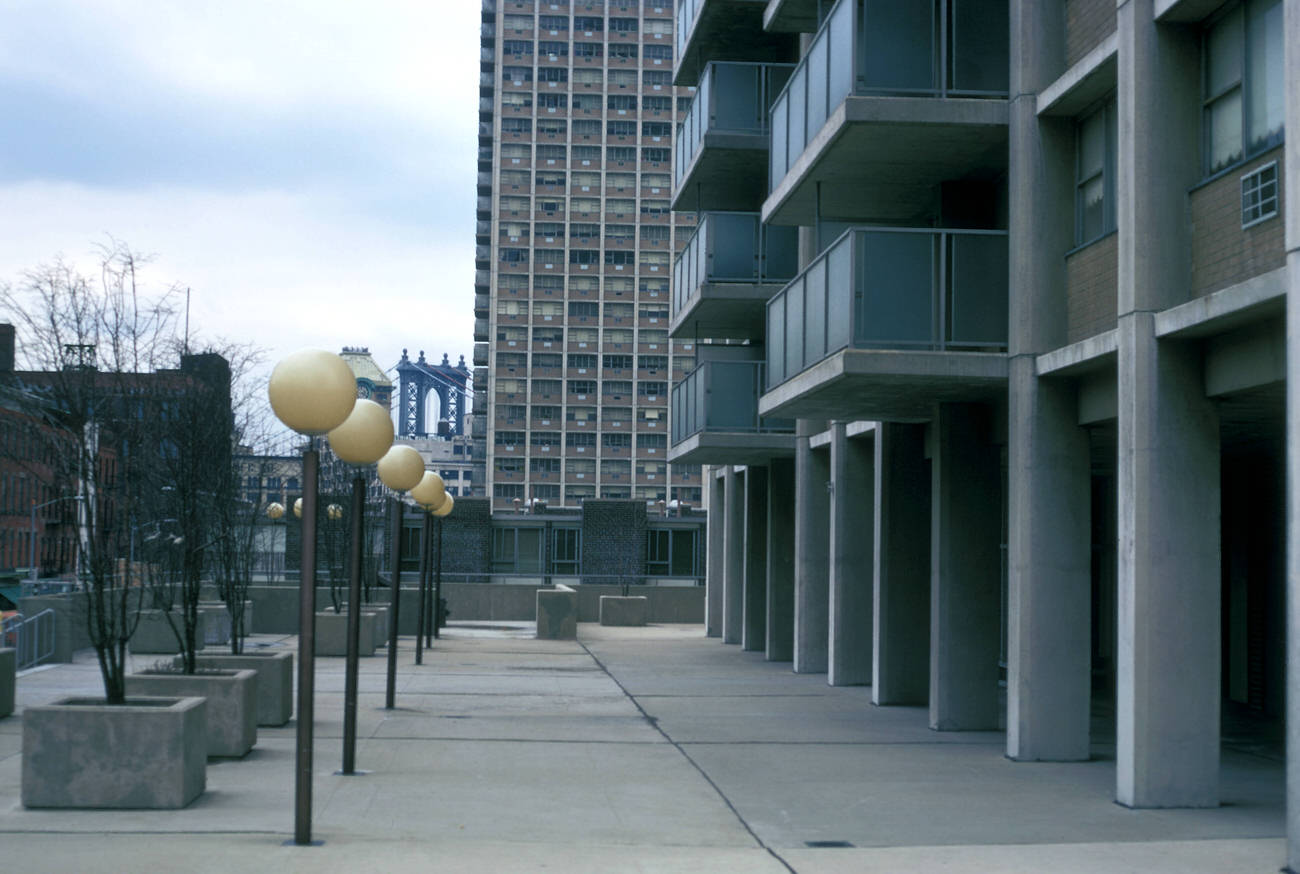
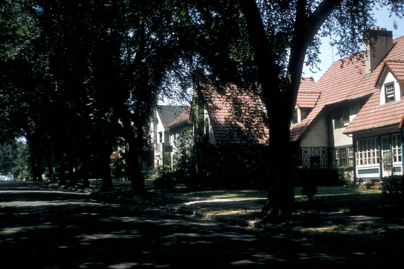
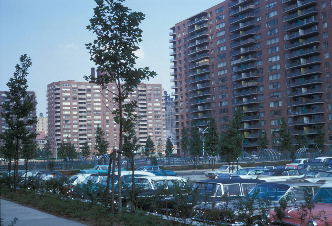
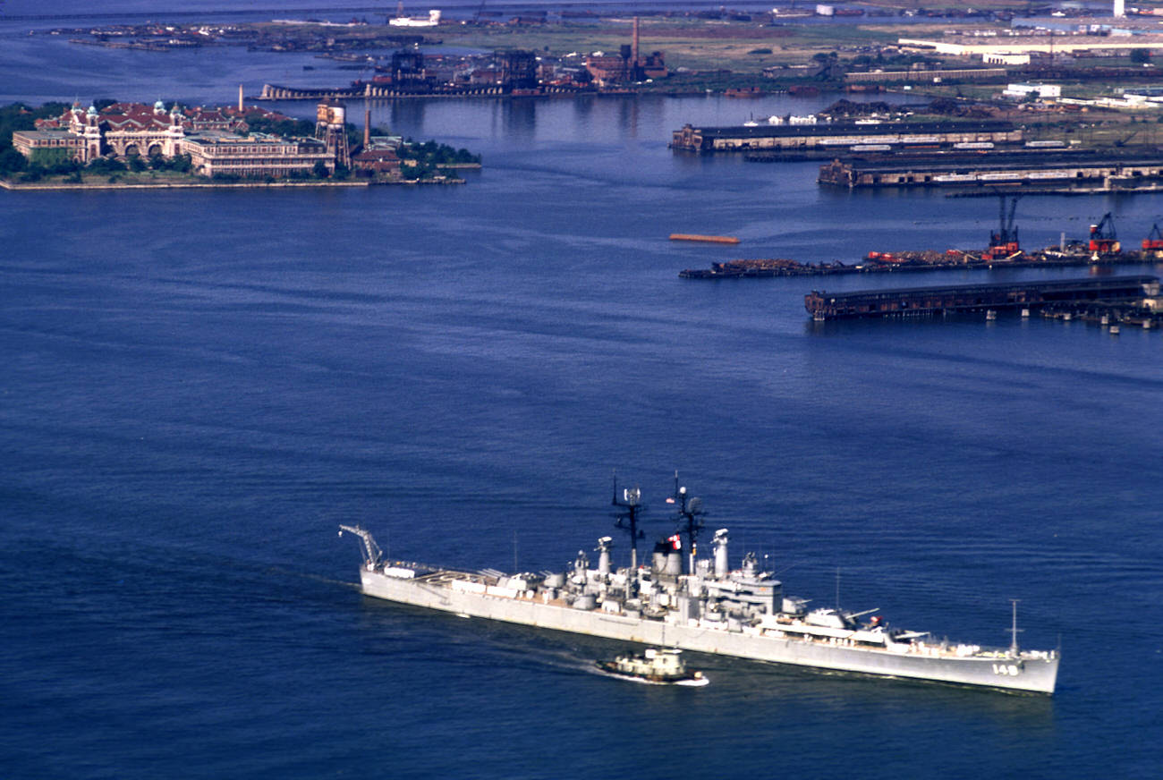
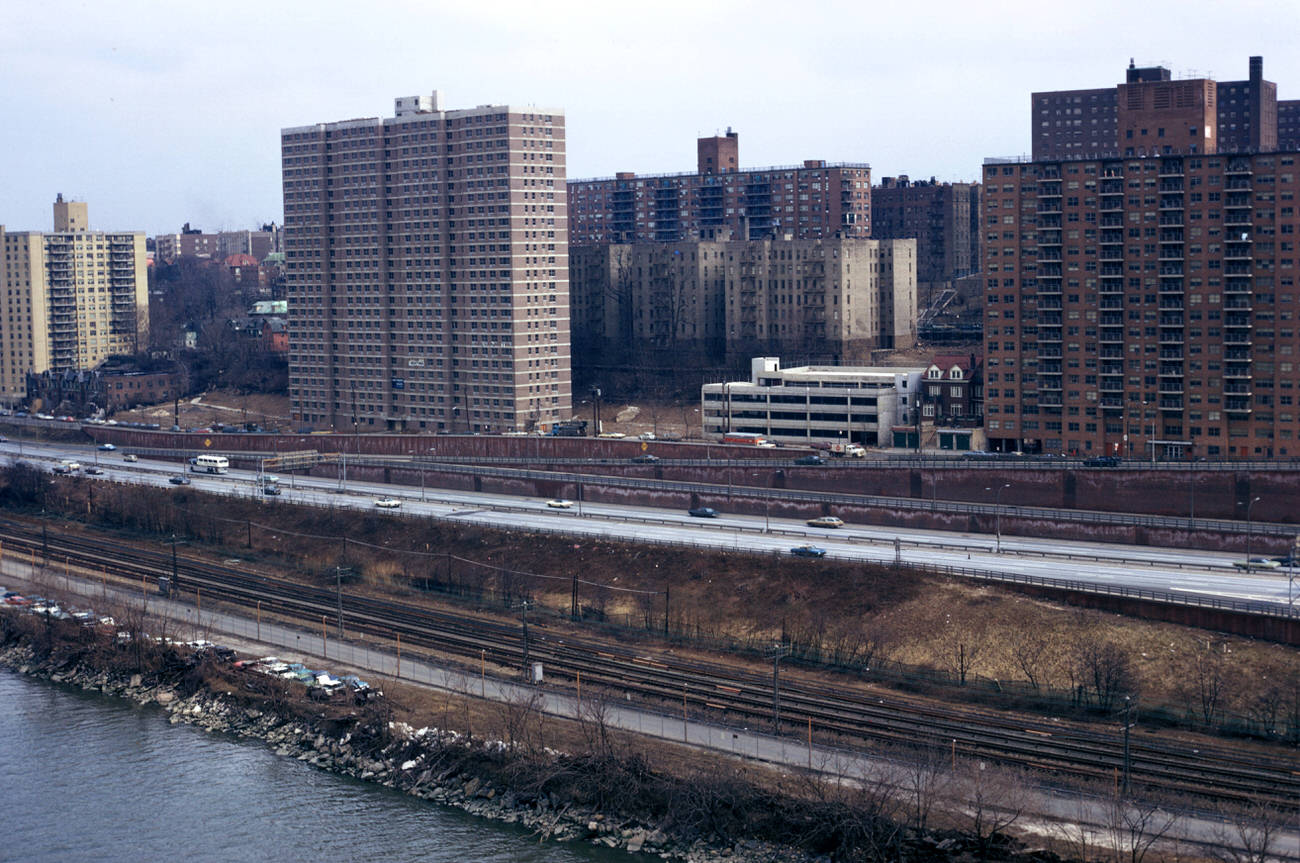
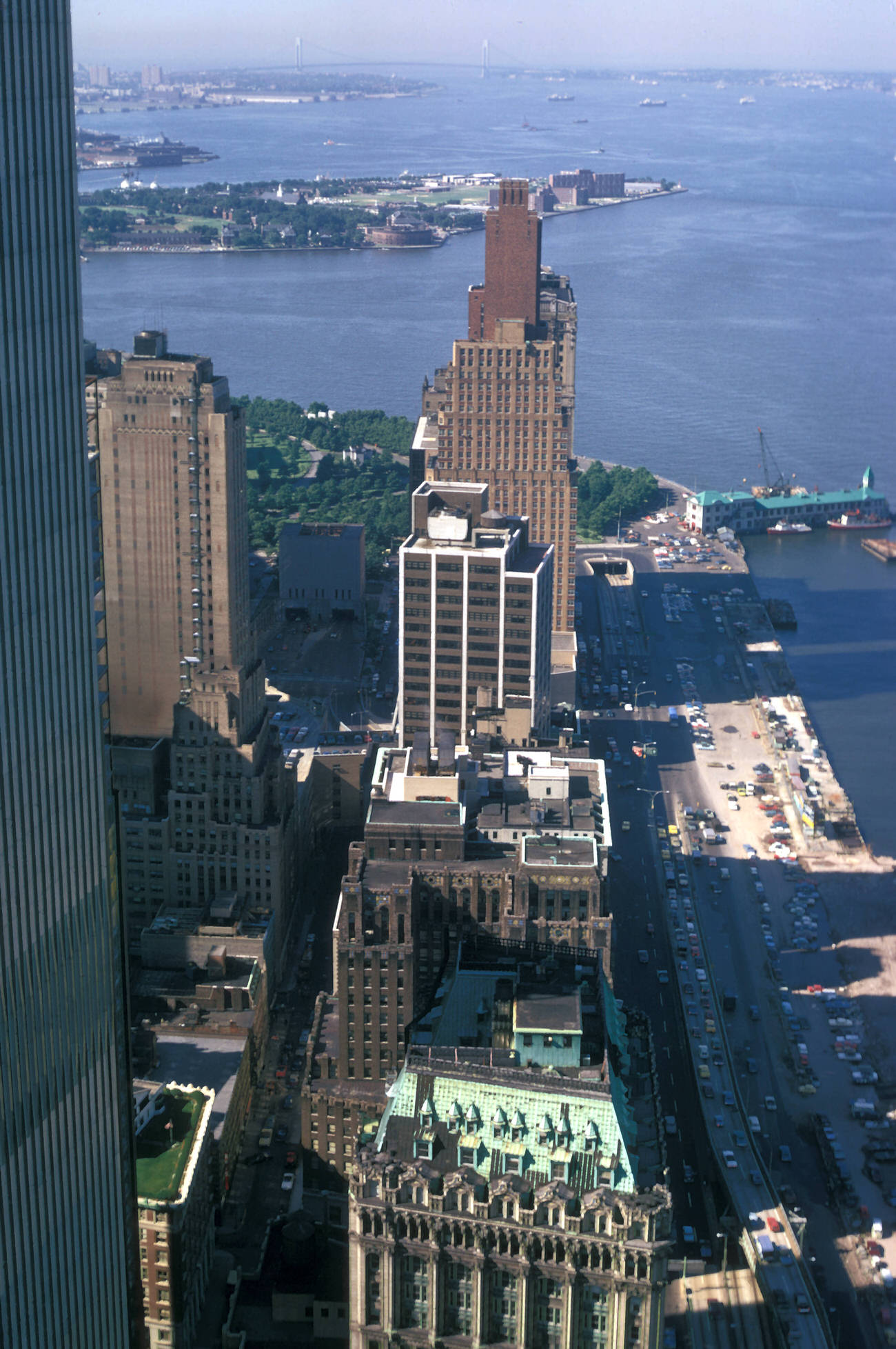
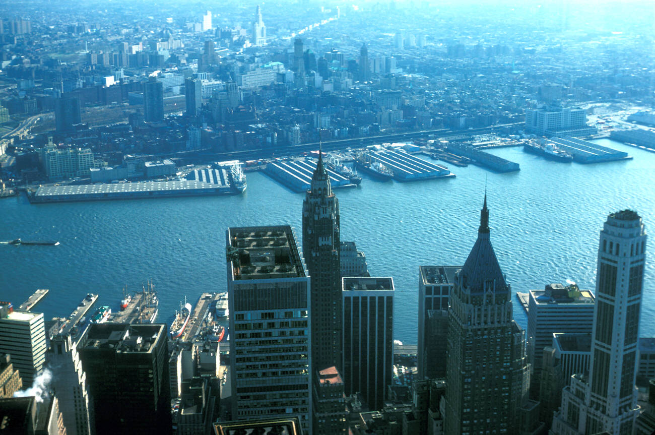
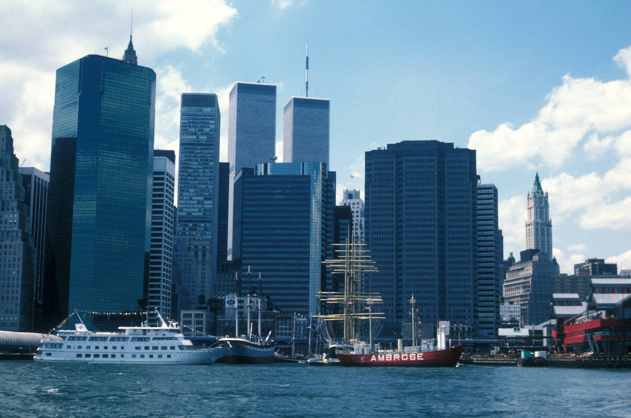
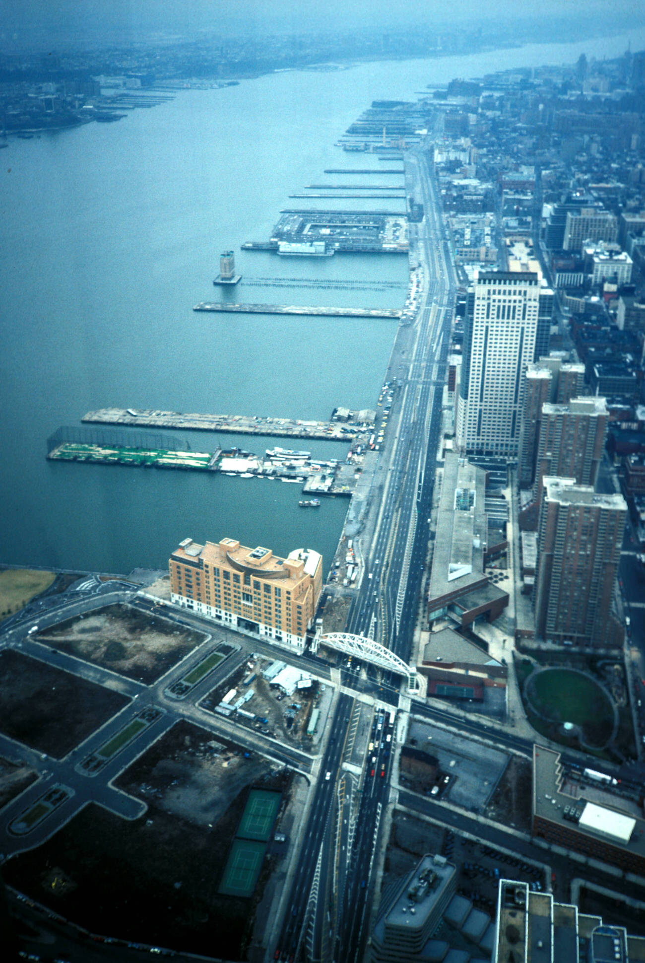
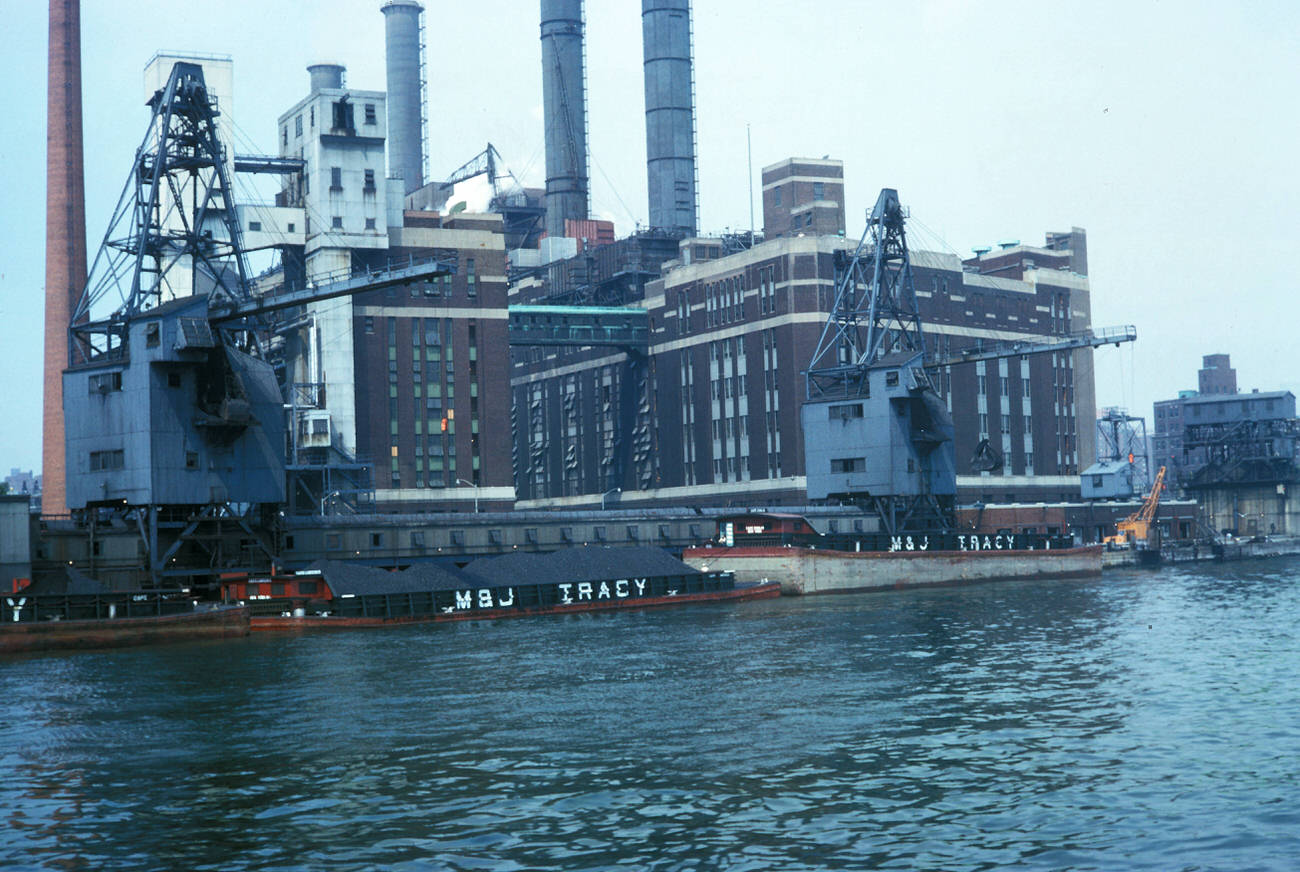
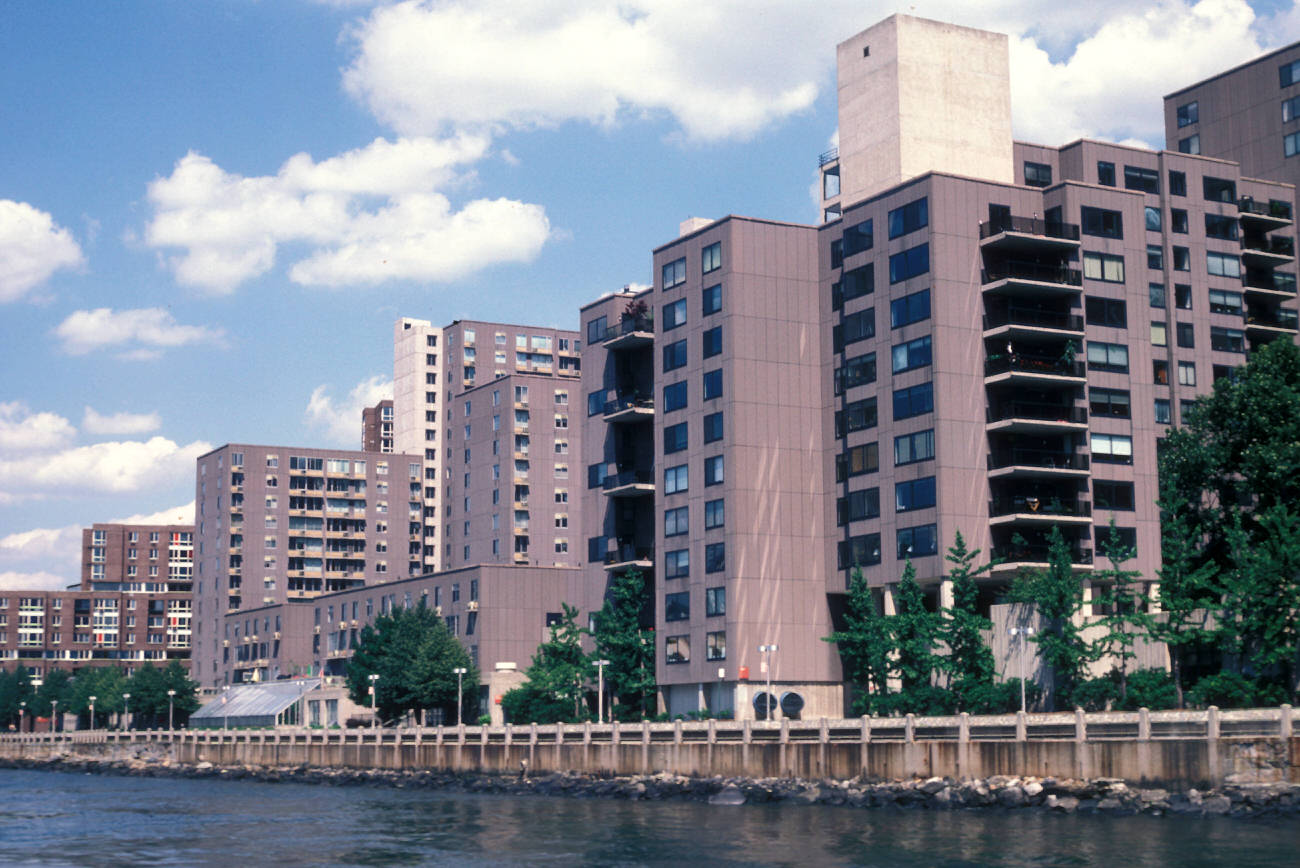
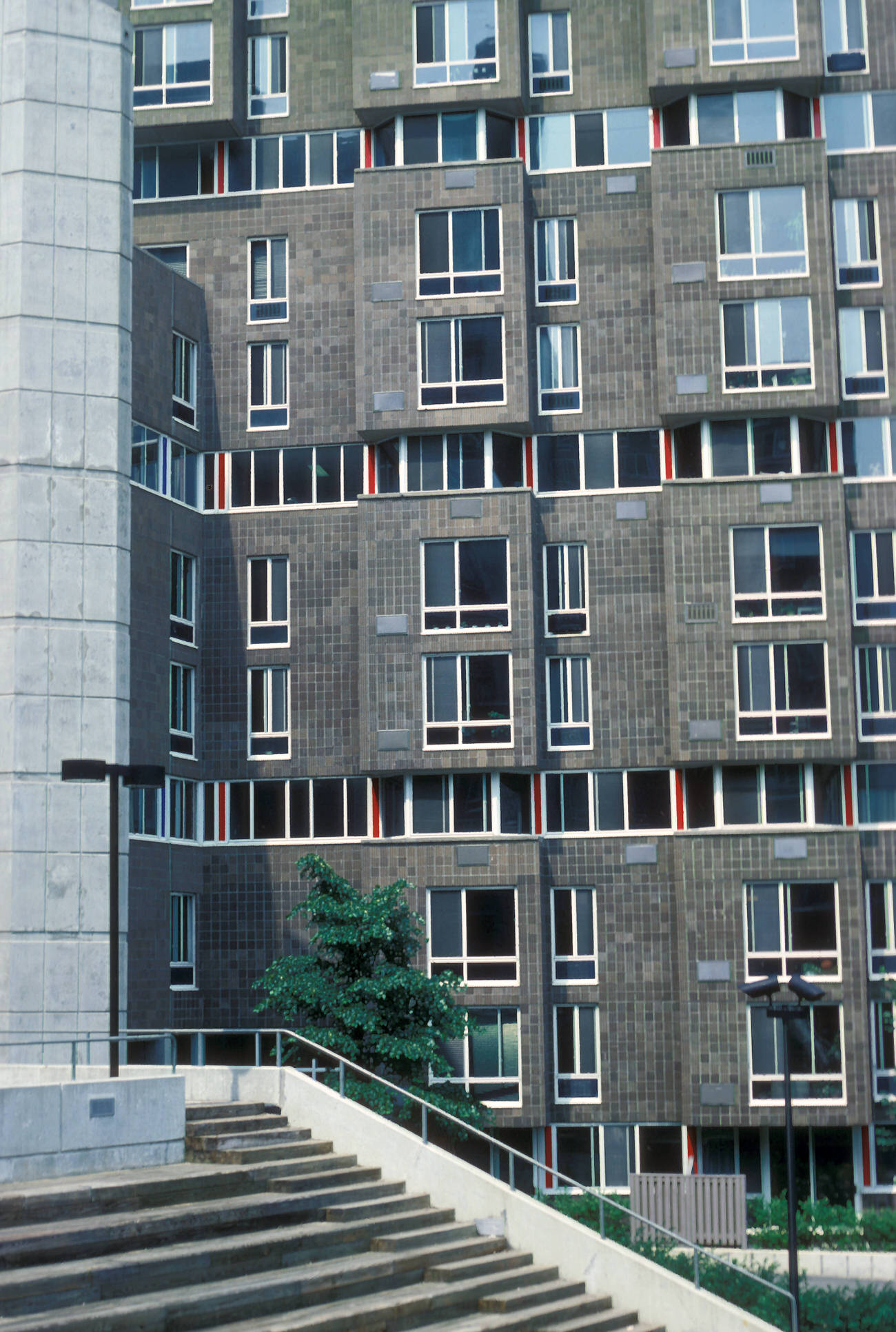
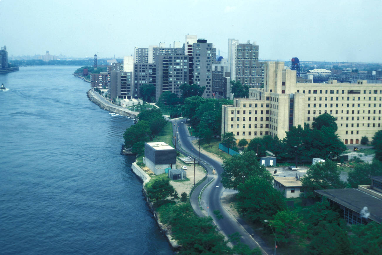
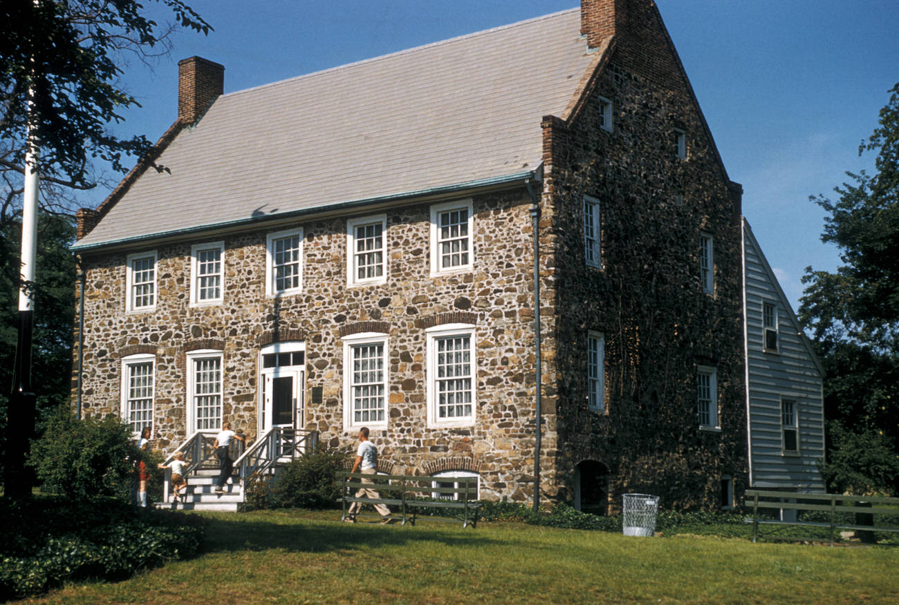
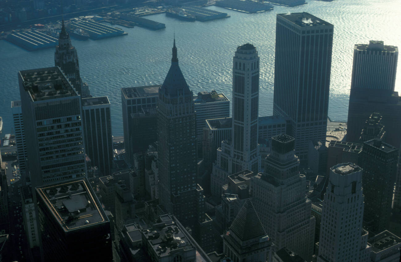
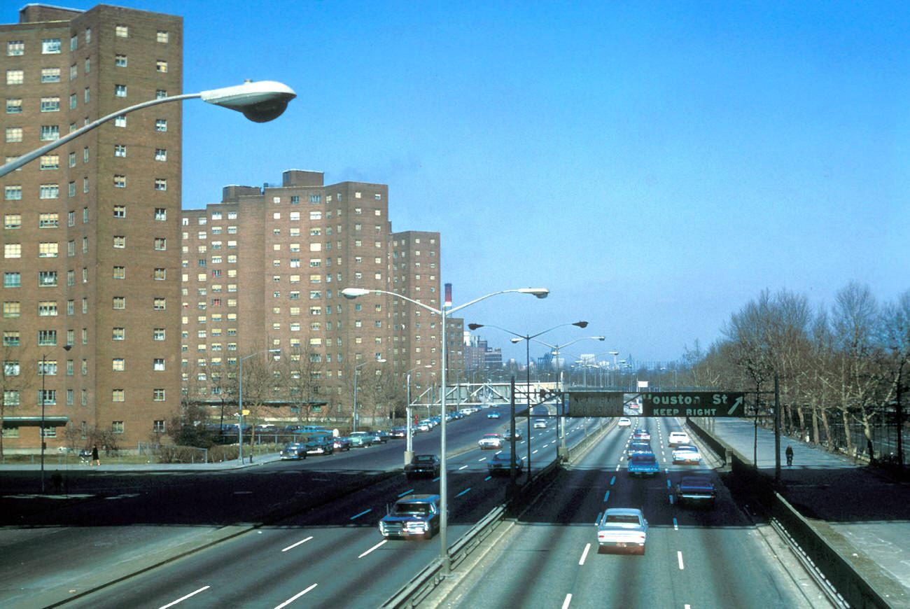
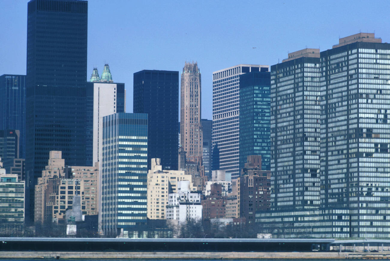
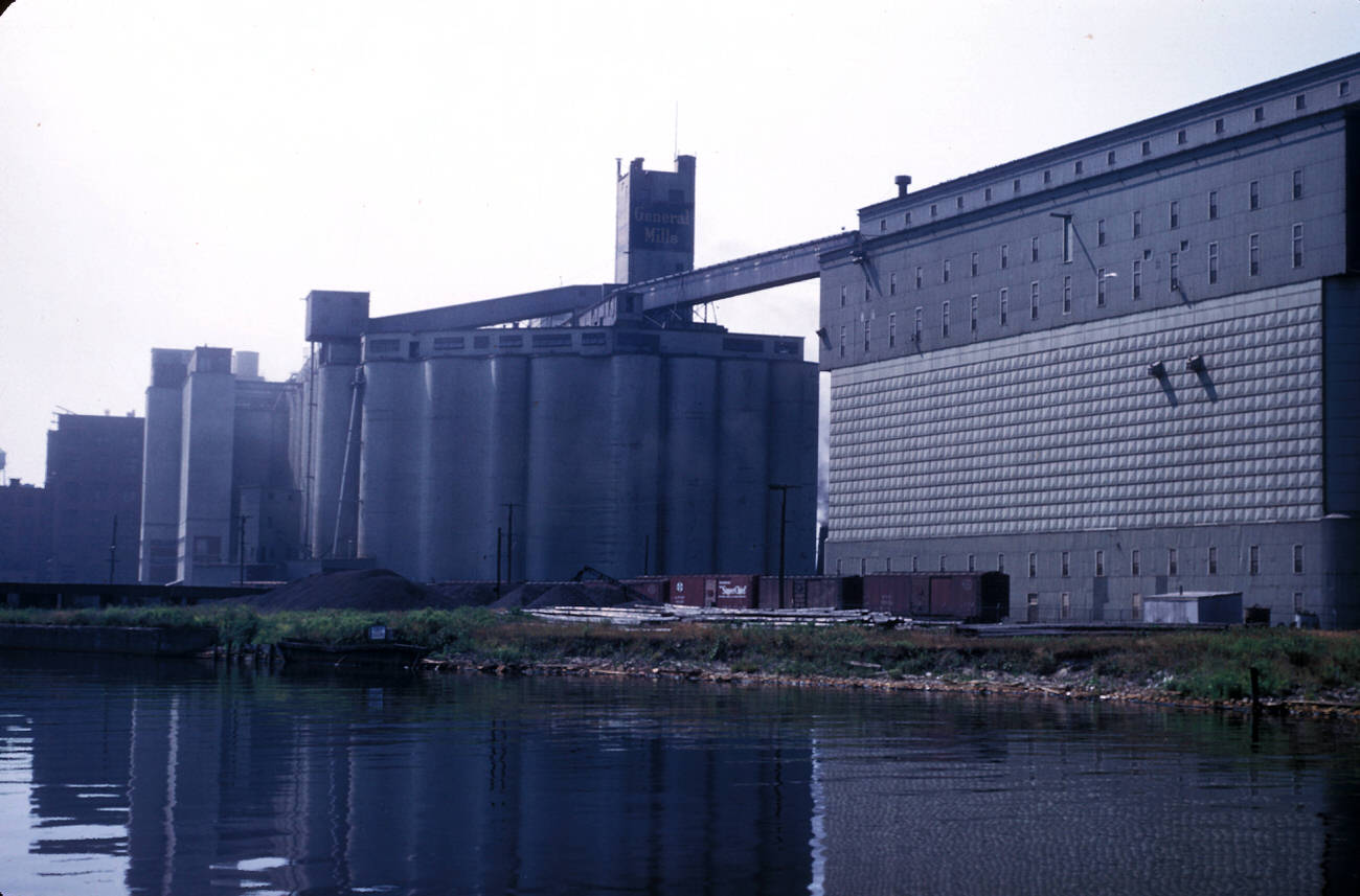
The buildings in Mayer’s photographs reflect a city in transition. He documented the rise of skyscrapers, the construction of new developments, and the decay of older structures. The contrast between shiny new buildings and crumbling tenements is evident in his work, highlighting the economic divides that shaped the city. Mayer’s shots of Lower Manhattan capture the growing skyline, with the World Trade Center towers beginning to take their place as iconic fixtures in the landscape.

#1 A view of the New York Life Insurance Building, 1983.

#3 Washington Square Village housing at New York University, 1962.

#4 Watchtower Bible and Tract Society of New York building, 1985.

#5 A view of the Chrysler and Pan Am buildings, 1975.

#6 A view of bridges spanning the Harlem River, 1964.

#7 A view of Grant’s Tomb and Riverside Church along the Hudson River, 1948.

#8 United States Pavilion at the 1964 New York World’s Fair, 1964.

#9 A view of the Unisphere sculpture at the 1964 New York World’s Fair, 1964.

#10 A view of bridges spanning the Harlem River, 1956.

#11 A passenger airplane at John F. Kennedy International Airport, 1962.

#12 Loading zone outside a JFK Airport terminal, 1972.

#13 Loading zone outside a JFK Airport terminal, 1962.

#14 An aerial view of Flushing and Shea Stadium, 1975.

#16 A view of a residential street in Fresh Meadows, 1952.

#17 Row houses on Saunders Street in Rego Park, 1972.

#18 A street scene from St. Paul’s Place in Morrisania, 1978.

#20 A view of the Henry Hudson Parkway near Riverdale, 1952.

#24 High rise apartment buildings in Co-op City, 1972.

#25 Townhouses and high rise apartments in Co-op City, 1972.

#26 Townhouses and high rise apartments in Co-op City, 1972.

#27 World Trade Center Plaza with the Sphere for Plaza Fountain sculpture, 1975.

#29 A view of the Woolworth Building from the World Trade Center, 1975.

#31 A street scene at the South Street Seaport and Fulton Market, 1988.

#34 A street scene at the South Street Seaport and Fulton Market, 1983.

#37 Interior mezzanines and lobby of the World Trade Center, 1988.

#38 Men playing checkers and chess in Washington Square Park, 1962.

#39 People gathered beneath the Washington Square Park Arch, 1956.

#43 Demolition for the Stuyvesant Town construction project, 1946.

#50 A view of high rise hotels from Central Park, 1952.

#52 A view of Park Avenue north from 58th Street, 1956.

#53 A view of the Empire State Building from the RCA (GE) building, 1969.

#55 High rise housing built into the George Washington Bridge approach, 1972.

#56 A view of the Hell Gate Bridge over the East River, 1956.

#57 A view of the Bronx-Whitestone Bridge spanning the East River, 1966.

#58 An aerial view of the Throgs Neck Bridge and the East River, 1972.

#59 A view west from the Empire State Building, 1956.

#61 The Brooklyn Bridge from the South Street Seaport, 1983.

#63 A view of the skyline from the East River and Navy Yard, 1948.

#64 A view of the George Washington Bridge over the Hudson River from the World Trade Center, 1978.

#65 A view of Lower Manhattan and the Brooklyn Bridge, 1956.

#66 A view of the Williamsburg Bridge and the Domino Sugar factory in Brooklyn, 1969.

#67 A view of the Verrazano Narrows Bridge connecting Brooklyn and Staten Island, 1968.

#68 A view of the Intrepid Sea-Air-Space Museum and the city skyline, 1983.

#69 A view of the Henry Hudson Bridge over the Harlem River, 1956.

#70 A view of the Manhattan branch of the Triborough Bridge (Harlem River Lift Span), 1948.

#72 Hunts Point Terminal Market, an indoor produce market, 1972.

#73 Federal Hall National Memorial on Wall Street, 1977.

#74 The merchant vessel “Peking” in the South Street Seaport Museum, 1977.

#79 A view of The Cloisters museum of medieval art in Fort Tryon Park, 1946.

#80 The arcade at The Cloisters museum of medieval art, 1946.

#81 St. Paul’s Chapel spire and the World Trade Center, 1972.

#83 Central Park with a statue of William Tecumseh Sherman, 1988.

#84 Low Memorial Library at Columbia University, 1946.

#85 East of the Woolworth Building, the Brooklyn and Manhattan Bridges, 1973.

#86 A street scene near the New York Public Library, 1977.

#87 The industrial Sunnyside Yards in Long Island City, 1972.

#90 A Long Island Rail Road train from the Sunnyside Yards, 1972.

#97 The Staten Island Ferry approaching the terminal, 1982.

#101 A sunset silhouette of the Lower Manhattan skyline, 1975.

#102 Ned Smyth’s sculpture “The Upper Room” in Battery Park City, 1988.

#103 Pier A with a WWI memorial clock in the tower, 1988.

#105 Picasso’s “Bust of Sylvette” sculpture in Washington Square Village, 1978.

#107 The busy Orchard Street shopping district, 1969.

#116 Veterans’ Administration Medical Center, 1976.

#117 A street scene on Broadway near Herald Square, 1956.

#118 A residential street in the Sutton Place neighborhood, 1956.

#119 A view of the United Nations buildings under construction, 1951.

#125 FDR Drive and the Lillian Wald housing development, 1956.

#127 A city overview from Rockefeller Center’s RCA (GE) building, 1969.

#128 A view of the Morningside-Manhattanville residential area, 1962.

#129 Apartment buildings in Washington Heights, 1946.

#130 A designated children’s “play street” with residential buildings, 1956.

#131 Townhouses on residential Orange Street in Brooklyn Heights, 1972.

#141 A view of the USS “Newport News” near Ellis Island in the Upper Bay, 1973.

#142 A view of the west side Major Deegan Expressway, 1972.

#143 A view of West Street, Battery Park, and the Upper Bay from the World Trade Center, 1973.

#144 A view of the Wall Street district and Brooklyn piers, 1975.

#145 A view of East River Park north from Delancey Street, 1969.

#147 A view of the skyline and the South Street Seaport from the East River, 1985.

#148 The Hudson River waterfront from the World Trade Center, 1993.

#150 Waterfront apartments on Roosevelt Island, 1985.

#151 An apartment building on Roosevelt Island, 1977.

#152 A view of the Roosevelt Island waterfront, 1977.

#156 A view of a sugar refinery in the waterfront industrial area, 1985.

#157 Pedestrians on the Coney Island boardwalk, 1962.

#158 A view of Coney Island beach and boardwalk attractions, 1962.

#160 A view of the Wall Street area from the World Trade Center, 1975.

#163 A view of the East River frontage from Queens, 1972.

#164 A view of the Upper Bay from the World Trade Center, 1975.

#165 The Battery Park City landfill from the World Trade Center, 1975.

#166 A view of the West Side Highway at 42nd Street, 1964.

#167 The General Mills flour mill on the City Ship Canal, 1952.

#168 A view of the National Mall from the Washington Monument, 1986.

Written by Makayla White

An amateur content creator and dreamer. I Run, Cycle, Swim, Dance and drink a lot of Coffee.

Leave a Reply

Comment using name and email. Or Register an account

GIPHY App Key not set. Please check settings